 MAP
MAP
How accessible is a hotel, a museum, an urban route, or a ski lift?
This is a question to which there is no unique answer, and those who live with a disability know this very well.
Just because no generic answer guarantees access and enjoyment of a place, a service, or a restaurant for everyone, the first fundamental level of work for those involved in accessible tourism is to create a mapping as detailed as possible.
For this reason, in Friuli Venezia Giulia, one of the first activities launched in 2015 by PromoTurismoFVG and the CRIBA, the technical office of the Regional Council of associations of people with disabilities, was the creation of documentation, analysis, and accessibility assessment forms for the various types of services in the tourism chain. Thus began a mapping effort that continues to this day and is regularly updated, with the aim of providing objective and reliable data about the entire regional territory to those who wish to visit it.
But measuring and describing the accessibility of places and services is not enough: it is also necessary to create tools to disseminate and make this information available, both for the public and for tourism operators. The latter can use them to develop, in turn, accessible tourist products for different types of clients and travelers. In the "Packages" section of this portal you can find some examples.
A methodology developed in the field
How was the accessibility assessment form of Friuli Venezia Giulia created? It all started in 2015 with the collaboration between PromoTurismoFVG, the Regional Council of Associations of People with Disabilities, and the CRIBA FVG – Regional Center for Information on Architectural Barriers and Accessibility.
Alessia Del Bianco joined PromoTurismoFVG in 2010, after years of experience as a regional tour guide. At first, she worked on the general promotion of the region, but soon identified some areas that were still underdeveloped, including accessible tourism, school tourism, religious tourism, and hiking tourism.
Initially, however, the context was not easy to engage. "The associations would tell me: 'But what does tourism want from us?'" he recalls.
In 2015, the turning point came through the Association of Tetraplegics of Friuli Venezia Giulia, which had already created an initial mapping of hotels and museums. The association establishes contact with the Regional Council of Associations of People with Disabilities of Friuli Venezia Giulia, leading to the signing of the first agreement with PromoTurismoFVG.
From there, the stable collaboration with CRIBA FVG arises, recognized by the Region as the unique reference center on accessibility pursuant to L.r. n. 10/2018, which over the years becomes the main technical reference point of the project.
At the time, there was no ready-made methodology to describe the accessibility of the entire regional tourism offer in a structured way. The system was therefore developed progressively, through bibliographic analysis, comparison with associations, and field experiments.
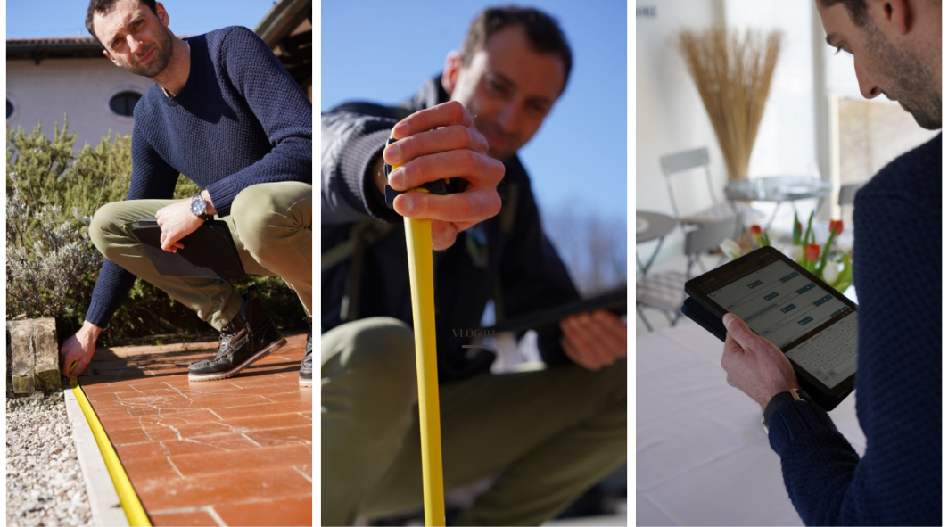
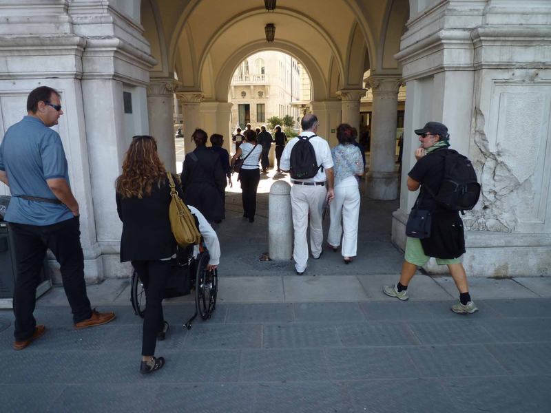
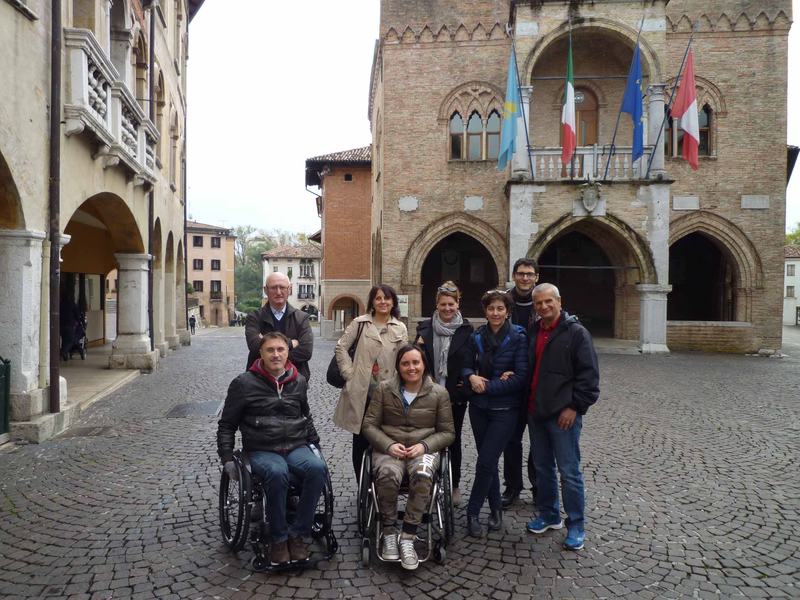
The first surveys were conducted during regular guided tours, during which the collaboration of various local disability associations was requested to facilitate the participation of their members as surveyors and testers of the experiences. Michele Franz, coordinator of CRIBA FVG, recorded measurements, slopes, obstacles, and observations while the group concretely experienced the route.
"I had the meter, paper and pen, the slope meters, I pushed the wheelchair and had the blind person under my arm," he recounts. "I came out of these experiences quite exhausted."
These experiences allowed us to understand which information was truly necessary and to transform an initially artisanal collection into an increasingly structured assessment system.
Don't judge, describe
The method is primarily based on the collection of objective data. The task of the evaluator is not to determine whether a structure is accessible, but to accurately describe its characteristics.
The information is integrated by descriptions and photographs. Inspections are carried out by qualified technical staff, mainly architects, using tools such as laser measuring devices and slope meters. The data, therefore, is never based on the self-declarations of the hotel managers, for example.
A survey can be very detailed: for a hotel, about a thousand data points can be collected, for a museum a similar number, and for a restaurant about 250.
"The fact of having such structured data, linked to comparable survey methods and with objective measurements, leads to a very broad interrogability of the system," explains Franz.
The value of mapping lies precisely in this informational depth. Two people who both use a wheelchair, for example, may have very different needs regarding a slope, the width of a passage, or transfer methods. Similarly, lighting, noise, orientation, communication, and service organization can differently affect each person's experience.
From paper to the FVG for all portal
For several years, the evaluations were written on paper and transformed into static documents. The information was published within the regional tourist portal through PDF files, which had to be uploaded and updated manually.
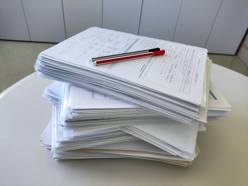
With the increase in mapped facilities, this system was no longer sustainable. Between 2019 and 2020, a software dedicated to data collection and management was developed. The database made it possible to standardize the surveys, compare the information, and update it with greater accuracy.
In June 2023, the Friuli Venezia Giulia for all portal was presented, which makes this information directly accessible to those who want to organize a holiday or a tour.
In the section dedicated to facilities, it is possible to search by type and location, consult the position on the map, and open individual cards. The site also offers itineraries, experiences, information on transport, assistance services, rental of aids, and specialized operators.
Technology, in this case, does not replace fieldwork: it serves to transform thousands of technical observations into usable information before departure.
The current work focuses on how to make the collected data even more accessible, facilitating the retrieval of information by users.
Accessible Mountains: the new challenge
This methodlogy is now also applied to contexts for which there are still few reference models.
With I AM FVG, the project dedicated to the development of accessible tourism in mountainous areas, it was necessary to design and test a new mapping system for mountain facilities and ski lifts.
Chairlifts, ski lifts, and cable cars indeed have very specific conditions, difficult to describe using the accessibility assessment forms created for hotels, museums, or restaurants. The search for national and international models has returned few references, making it necessary to build new detection parameters.
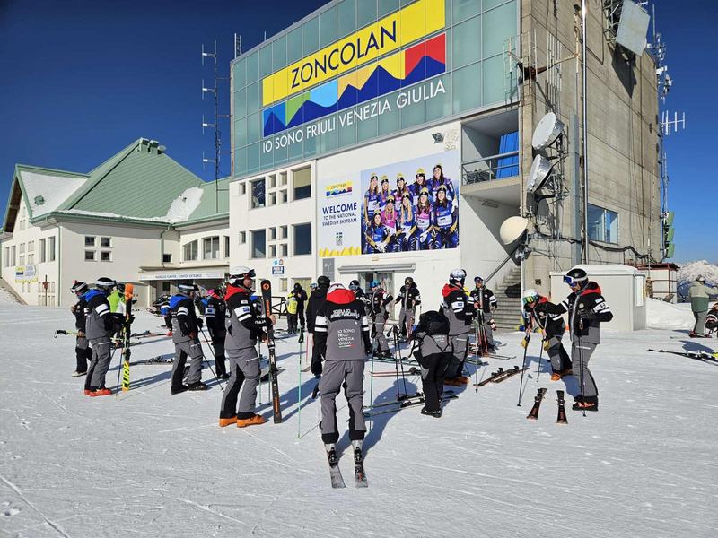
"This year we started creating the assessment forms for the ski lifts," says Franz. "It was a huge job because, even just doing a national and international bibliographic research, there is very little information regarding chairlifts, ski lifts, cable cars, and so on."
The work was carried out with architects, persons with disabilities, and specialized adaptive ski instructors. To understand the accessibility of a facility, in fact, it is not enough to check if it can be accessed by wheelchair: it is necessary to consider the aids used for adaptive skiing, the boarding and disembarking procedures, the support of the staff, the available spaces, and the different ways of using the facility.
The conversation with those who practice and teach adaptive skiing has allowed for the identification of barriers, facilitators, and parameters that would have been difficult to spot with a purely theoretical assessment.
I AM FVG thus extends the work already started in locations such as the mountain town of Sauris, where the mapping has involved accommodation and dining facilities, cultural sites, commercial activities, wellness services, and parking.
A concrete photograph, to keep updated over time
The mapping is not an activity that ends with the publication of an assessment form. Structures and services change, interventions are made, new aids are introduced, and reception methods are modified. Therefore, the detection tools must also be updated.
The FVG for all portal represents the visible part of this ongoing work: a detailed photograph of the territory that allows for planning the trip based on concrete information.
The goal is not to promise general accessibility, but to offer each person the necessary elements to choose independently. It is this transition – from label to data, from generic assessment to knowledge of the place – that makes mapping a fundamental tool for building a more accessible destination.

