 MAP
Lusevera - Trail for everyone

Mountain
GENERAL INFORMATION
LAST INSPECTION DATE
08/04/2025
PLANNED ITINERARY
Lusevera - Trail for everyone
LENGTH
600 meters
DEPARTURE
Refuge Pian dei Ciclamini
The path, exclusively pedestrian, starts from the Pian dei Ciclamini Refuge, which has a large outdoor parking area in front, with an asphalt surface and the possibility to leave the car near the refuge itself, without marked or reserved stalls for vehicles with a permit.
The path develops in the lateral and rear area of the Refuge, has a total length of about 600 meters and a loop structure, ending in the aforementioned parking area; a portion runs in the shade of the forest.
The characteristics of the path, uniform throughout its length, feature a concrete finish, easily navigable even with a wheelchair, strollers, or other aids used by people with motor disabilities, a constant width of 150 cm, and a boundary on one of the two sides of the path through a curb of about 15 cm in height and a guiding rope, which can also be used by visually impaired individuals to move independently.
The slopes, both in the uphill and downhill sections, are variable and range between 5% and 8%, but in a couple of very short sections, they reach 10-12%. The areas where a turn is necessary are mainly flat.
Alongside the path, in the area immediately outside it, there are numerous display boards that describe the flora, fauna, landscape, and history of the Park area. The boards are equipped with tactile exploratory materials and captions in braille. In some cases, the materials are partially deteriorated by time and weather, and the texts are not easily readable.
At the terminal portion of the path, there is also a wooden table with a bench placed on one side and consequently free space for the approach of a possible wheelchair, on a cemented surface.
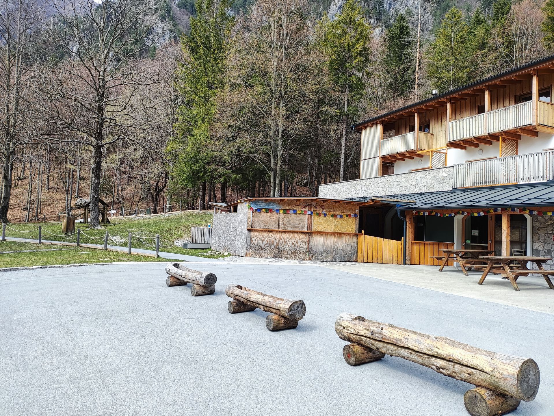
Parking area
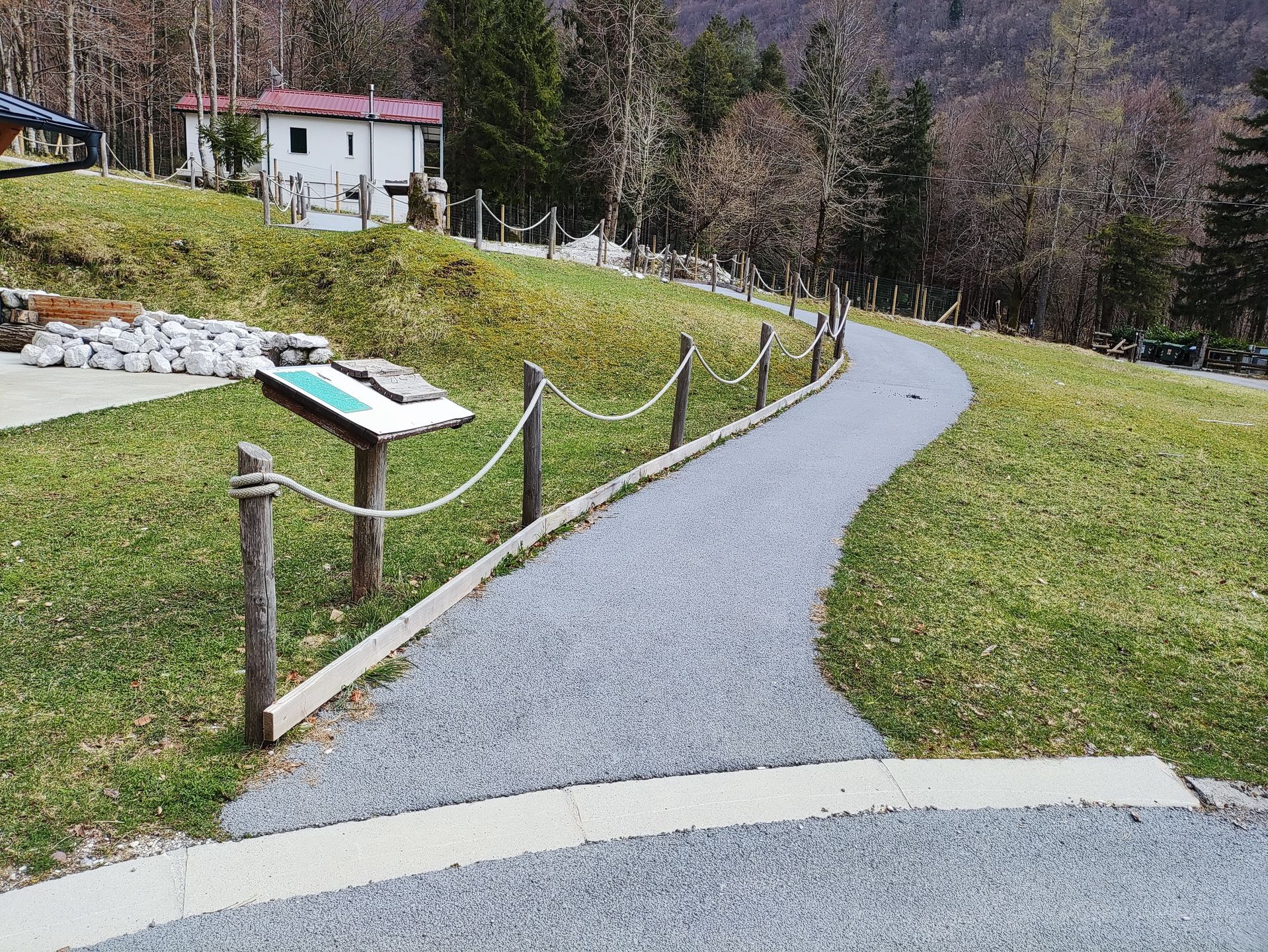
Initial section of the path
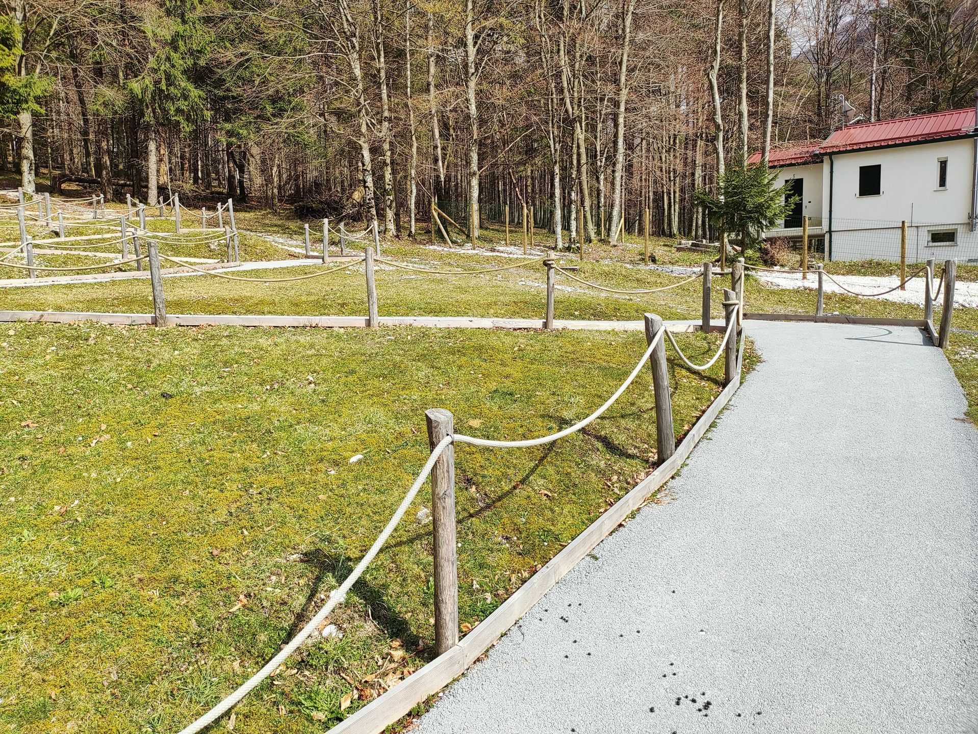
Development of the path towards the forest
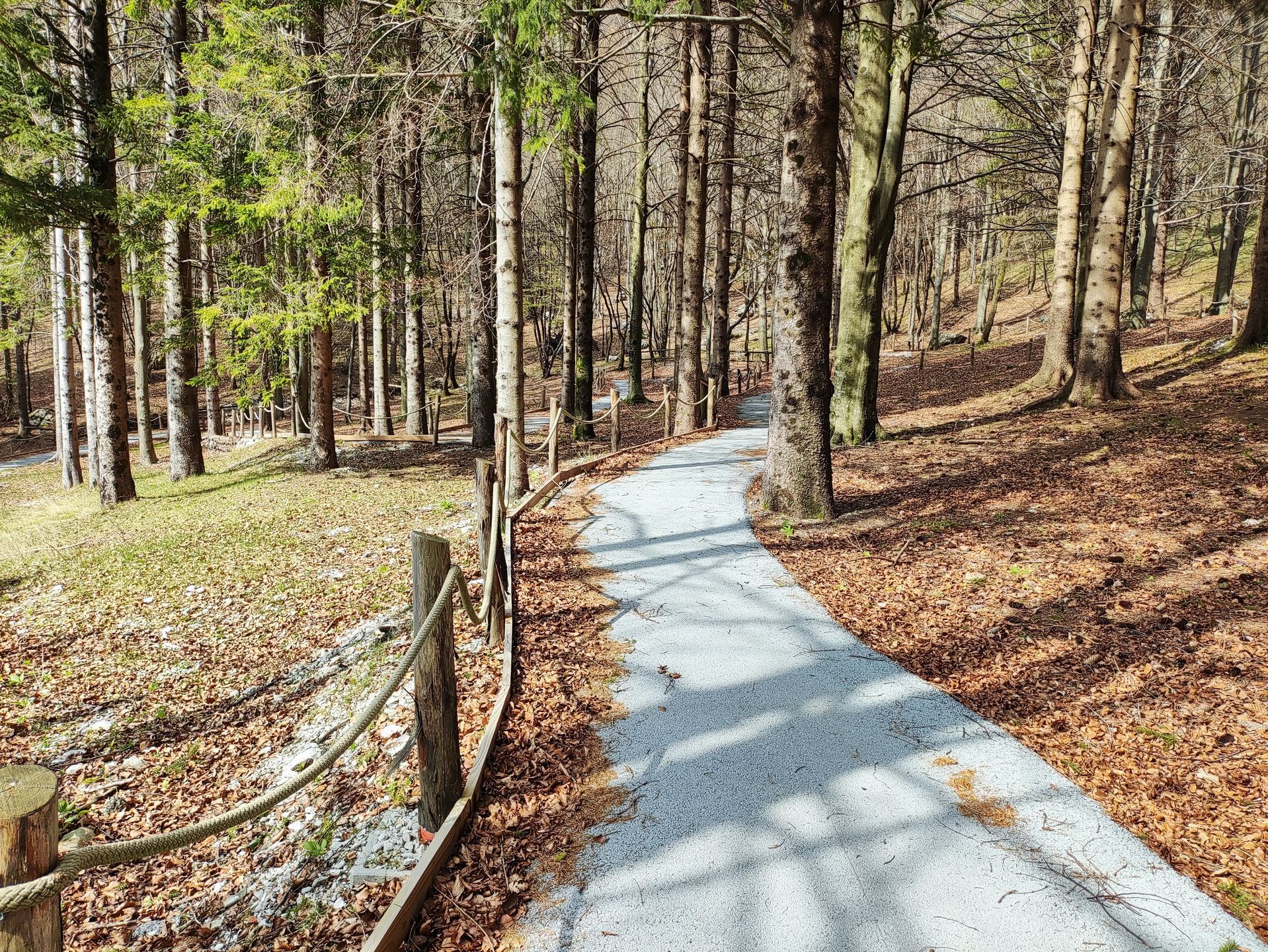
Section in the forest
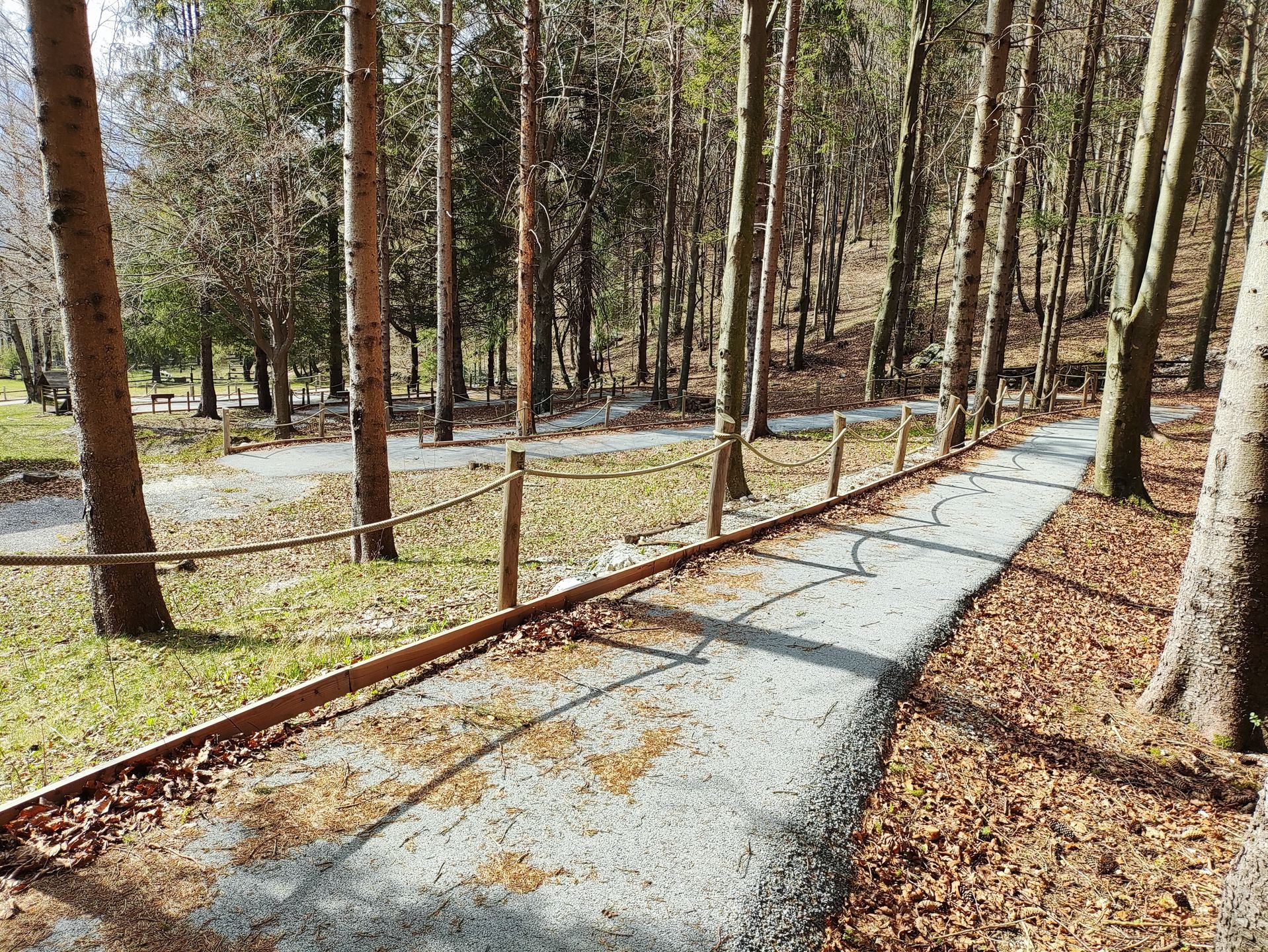
Section in the forest
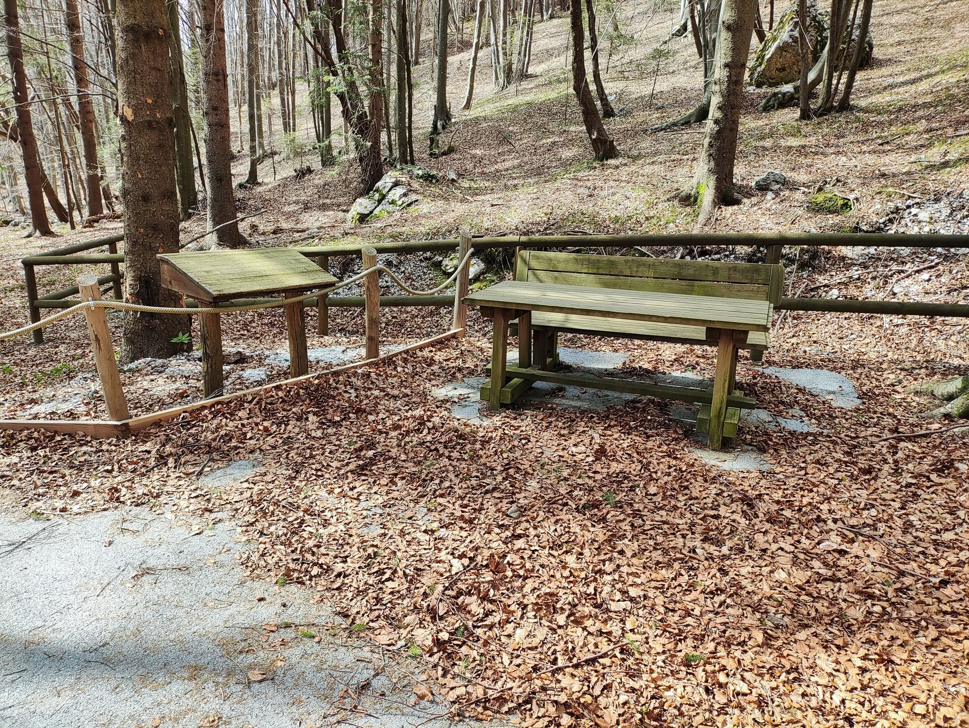
Rest area
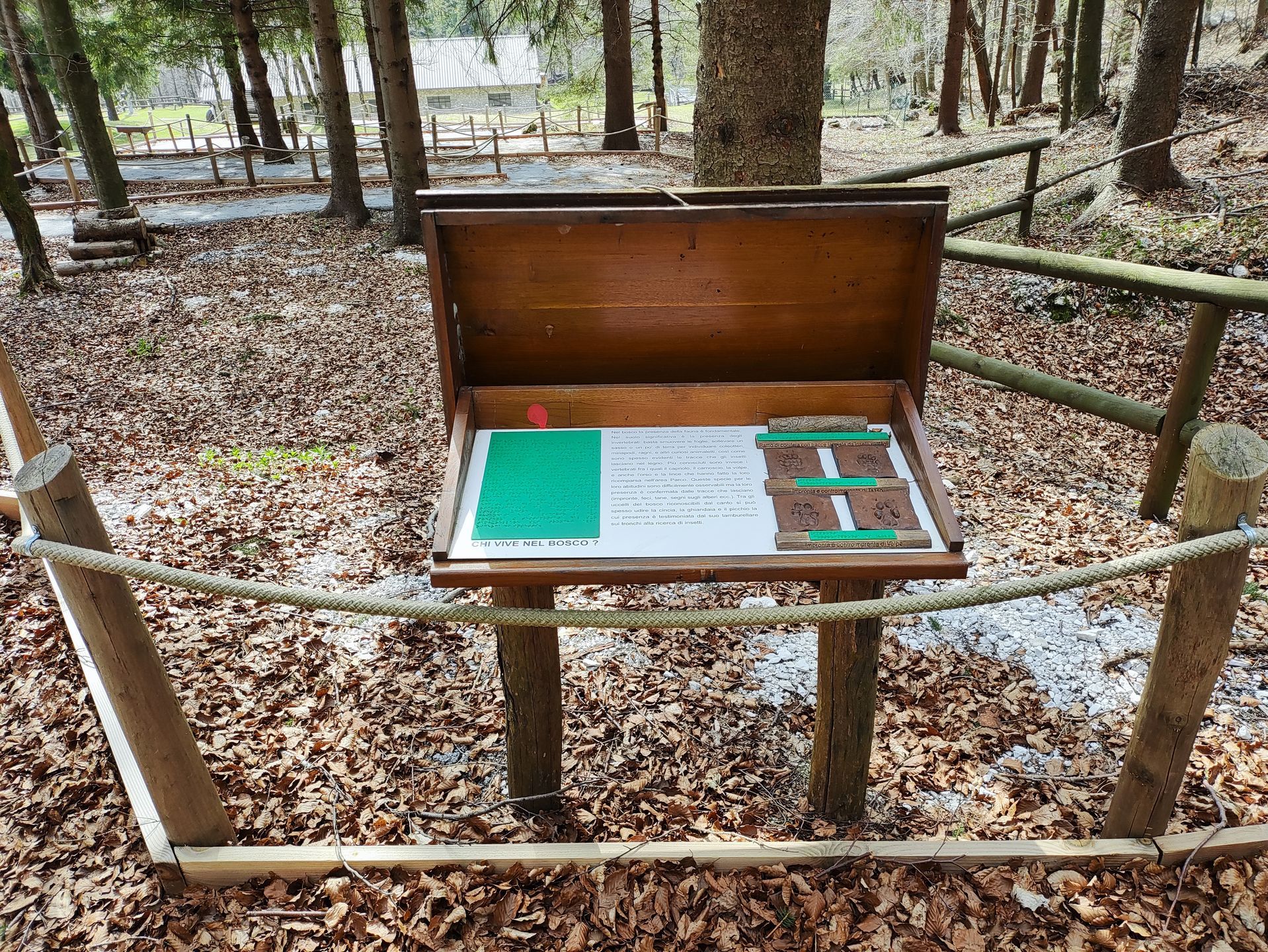
Display board
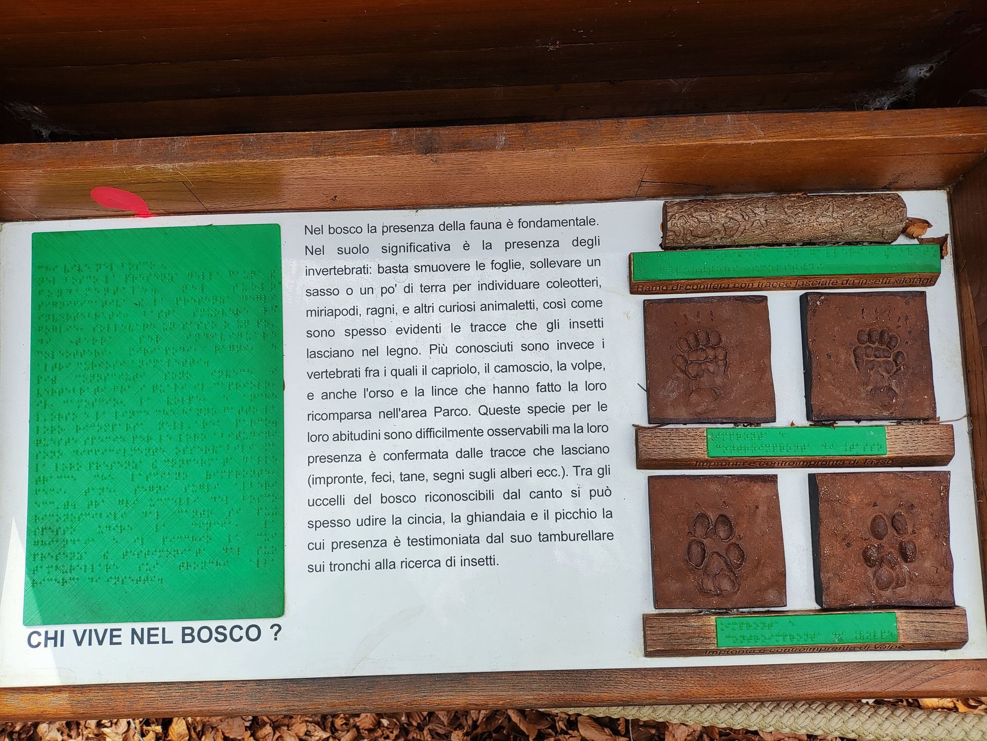
Detail of the board with braille and materials for tactile exploration
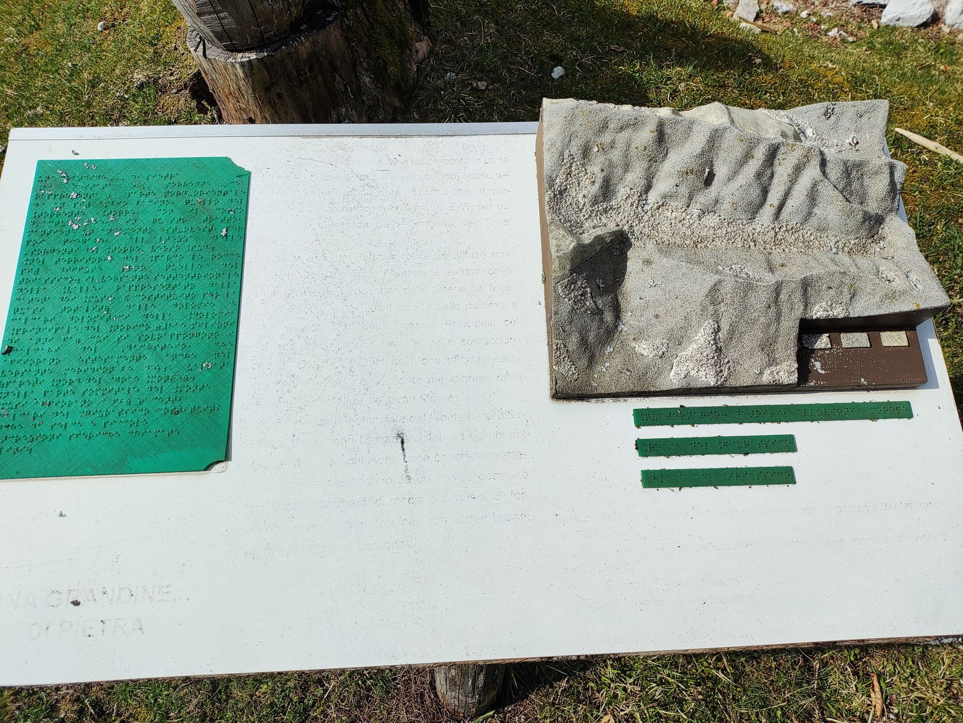
Detail of the board with text that is difficult to read
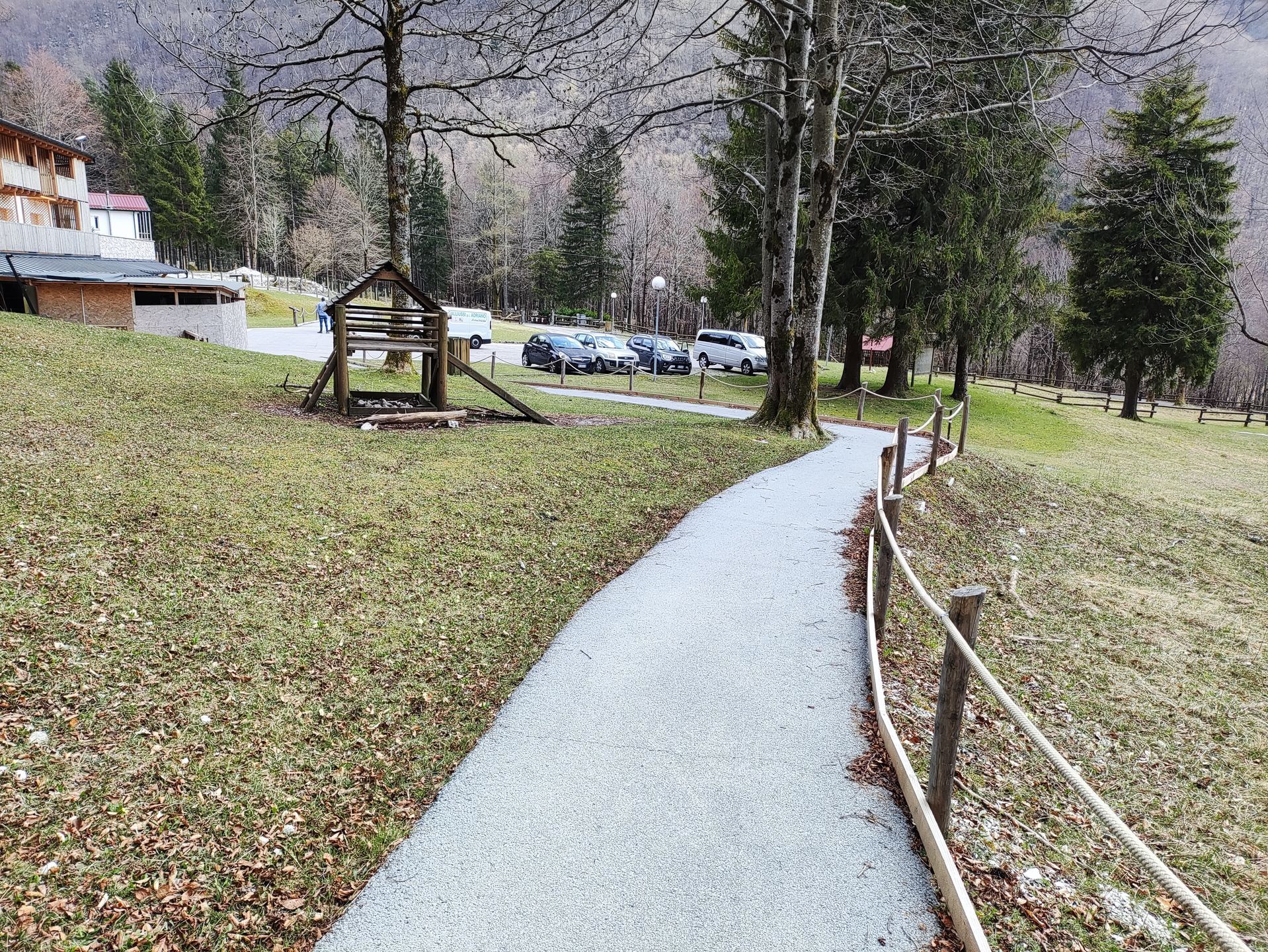
Final section of the path towards the parking lot
2.6
/3