 MAP
Marano Lagunare - Canal Novo Valley Nature Reserve

Sea
GENERAL INFORMATION
LAST INSPECTION DATE
16/11/2023
PLANNED ITINERARY
Marano Lagunare - Natural Reserve Valle Canal Novo
LENGTH
1120 meters
This is the path from the entrance to the ticket office.
Access to the Reserve is from Via delle Valli, next to which there is also a reserved parking area.
At the entrance there is a map -non tactile- useful for moving around and orienting within the Nature Reserve.
The path leading to the ticket office and subsequently to the Educational Cason is made of concrete gravel slabs 110 cm wide, generally characterized by a good state of preservation and accessibility.
In the building that houses the ticket office there is also a bar and a restroom.
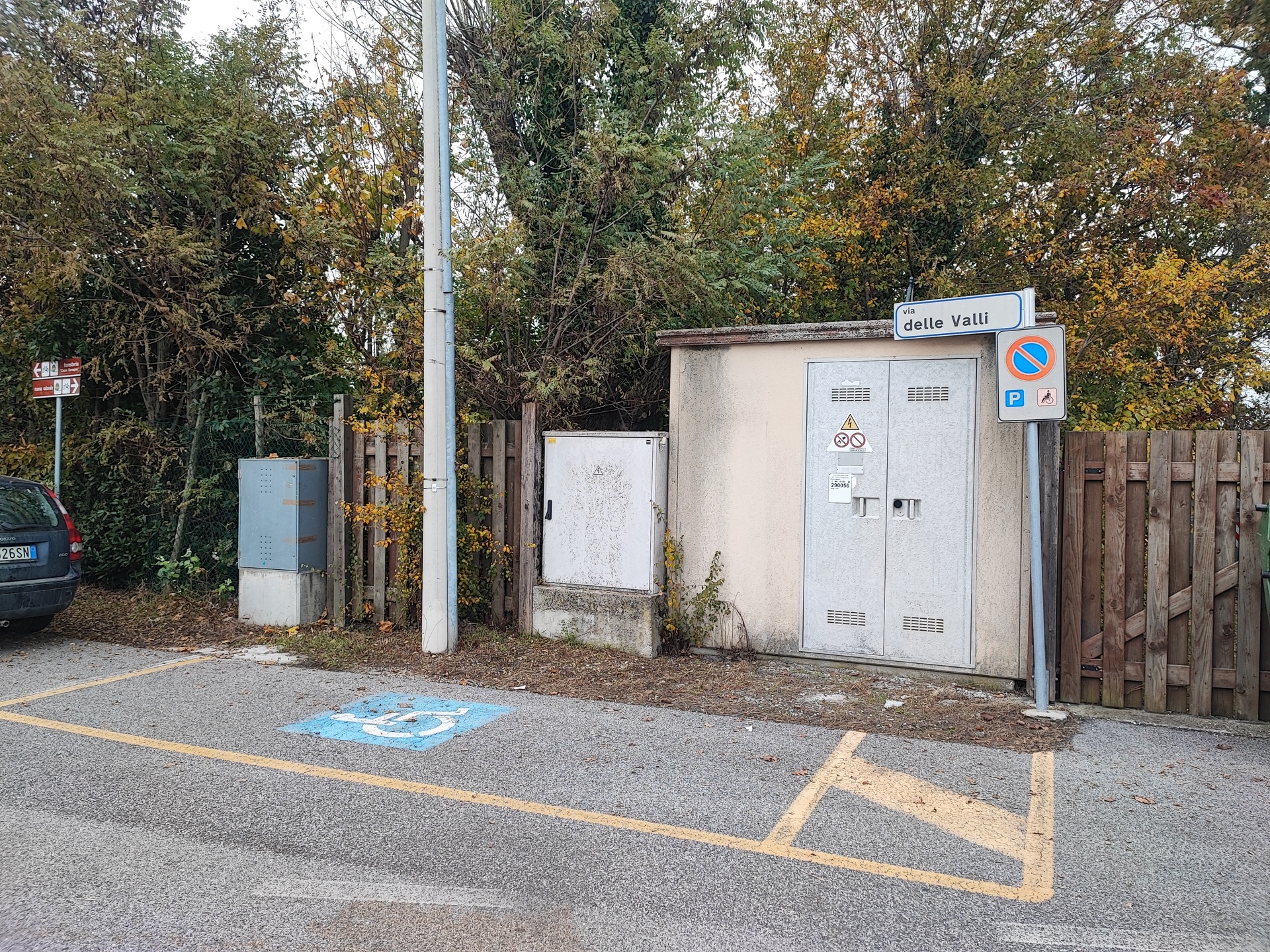
Parking
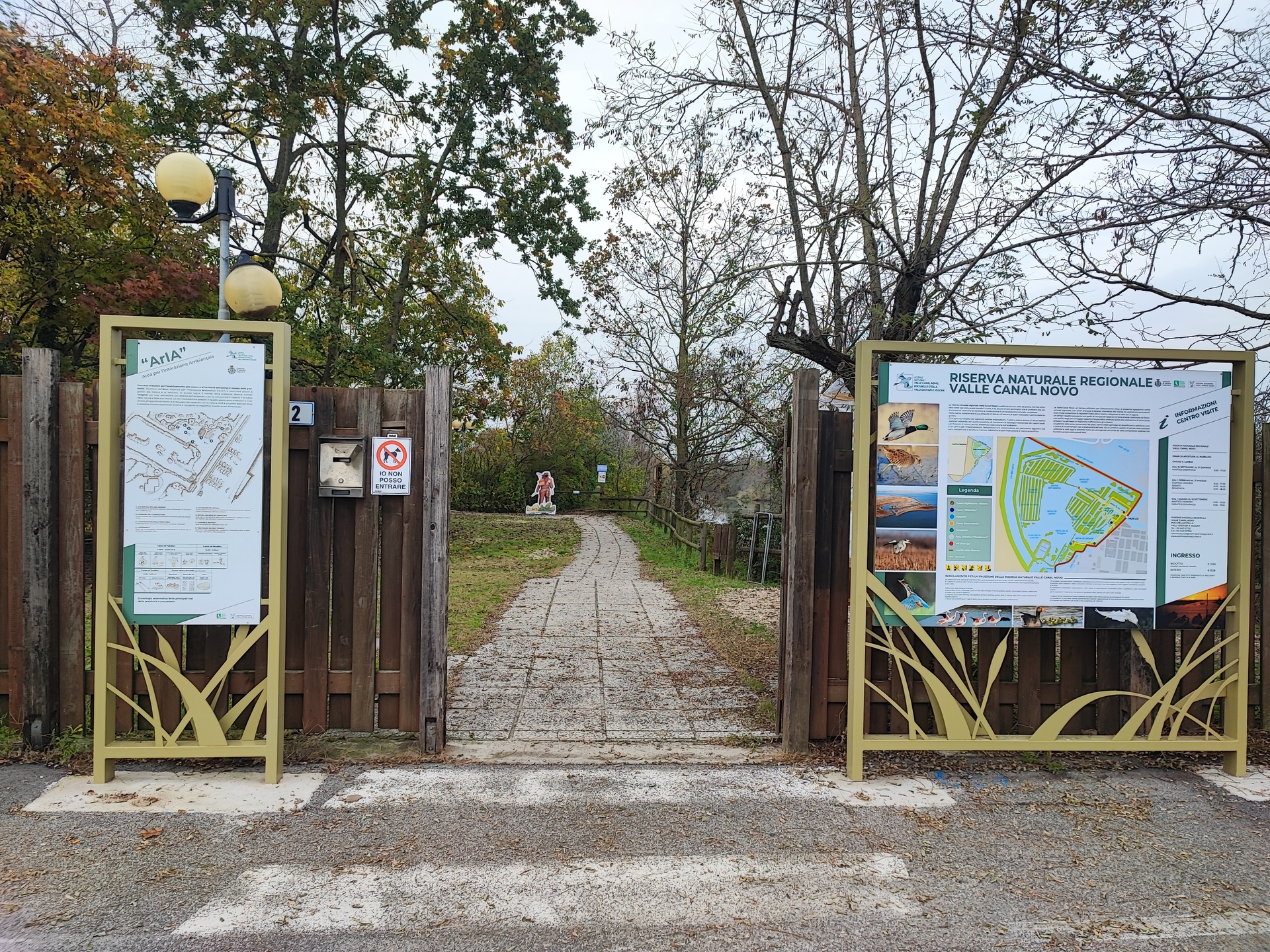
Entrance
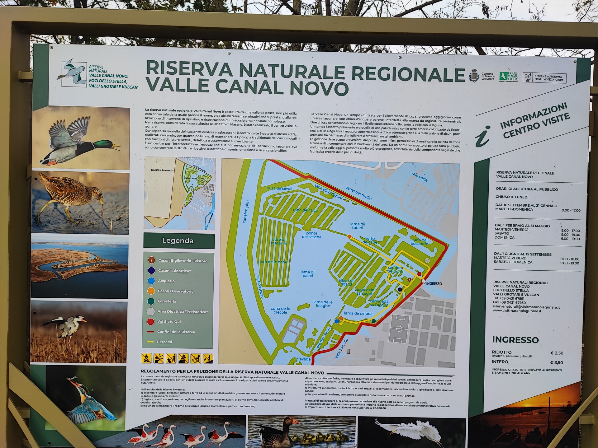
Sign at the entrance of the Reserve
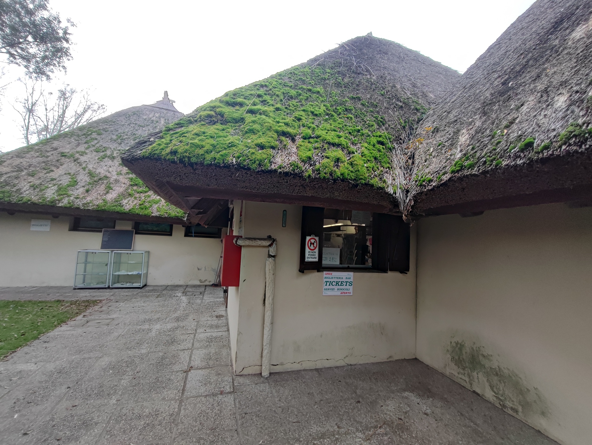
Ticket office
This is an "alternative" path that connects the Cadon Didattico with the Osservatorio Fotografico, called "Sentiero dei Tre Punti" because it is actually characterized by the presence of three pedestrian bridges.
The path has an average width of 100/110 cm on dirt, which, when it rains, can become less accessible due to the mud that forms. Along this stretch, there are three wooden bridges that are not well connected to the path: there is a ramp at the beginning and at the end of them, but this has a step of a few cm that does not ensure easy accessibility for wheelchair users.
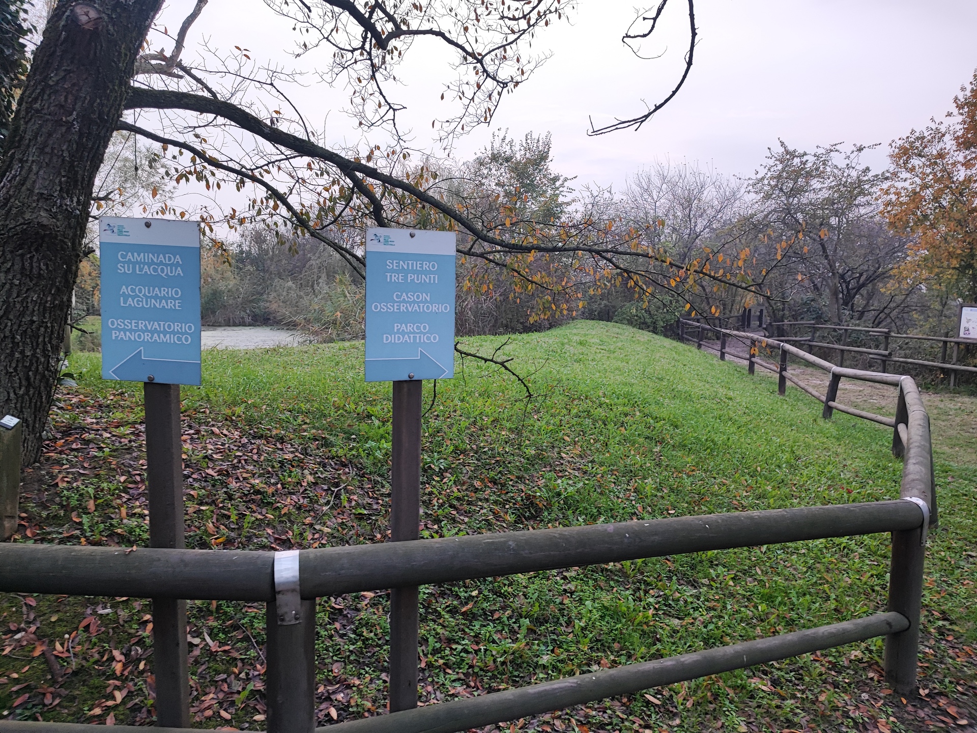
Start of the three bridges path
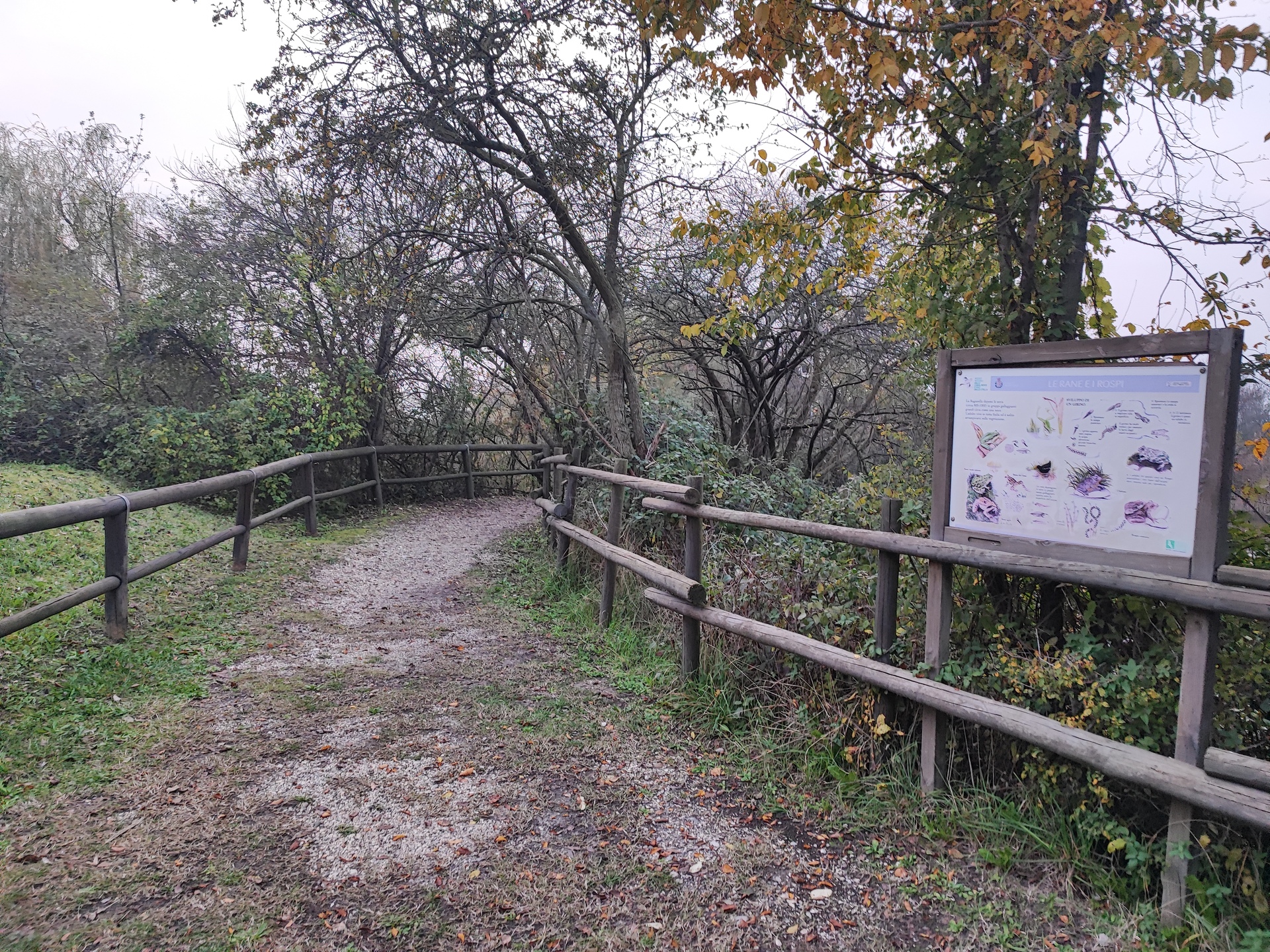
Example of path paving
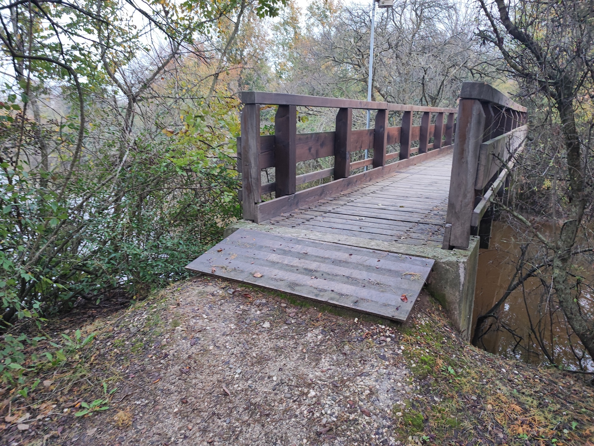
Detail of path / bridge connection
È the stretch that leads from the Cason Didattico to the Cason Fotografico along the straight road called "Verto de Cane", that is, a path protected on both sides by reeds.
È a dirt road with an average width of 110 cm that can become muddy on rainy days. The entire path is flanked by lagoon areas, lacking side protections. About halfway along the path, it is protected on the sides by a dense series of reed screens, useful for observing animals, especially birds. There are some windows at varying heights to take photographs without being noticed by the animals. At the end of the path, there is a wooden Cason elevated and not accessible due to the internal dimensions, the inadequate door opening, and the steps in front of the entrance to access it.
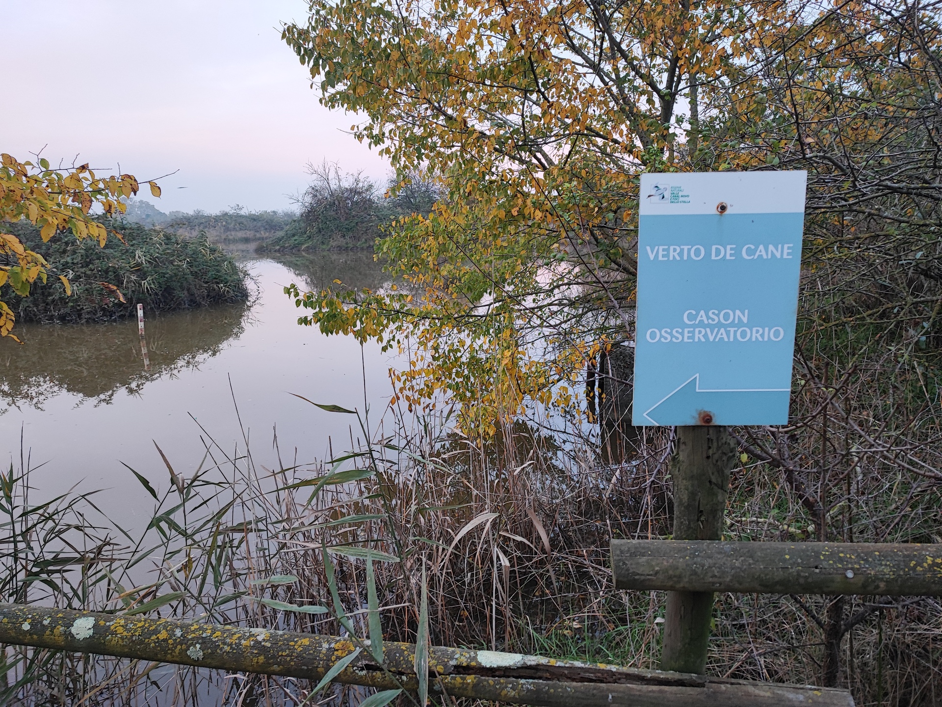
Start of the path sign
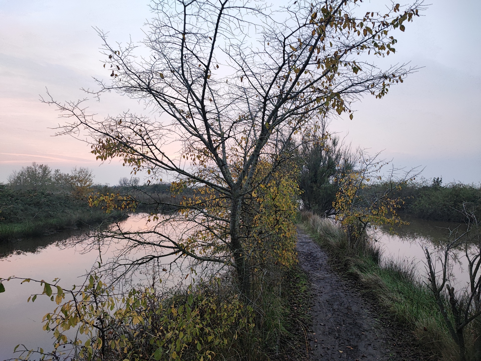
Start of the path
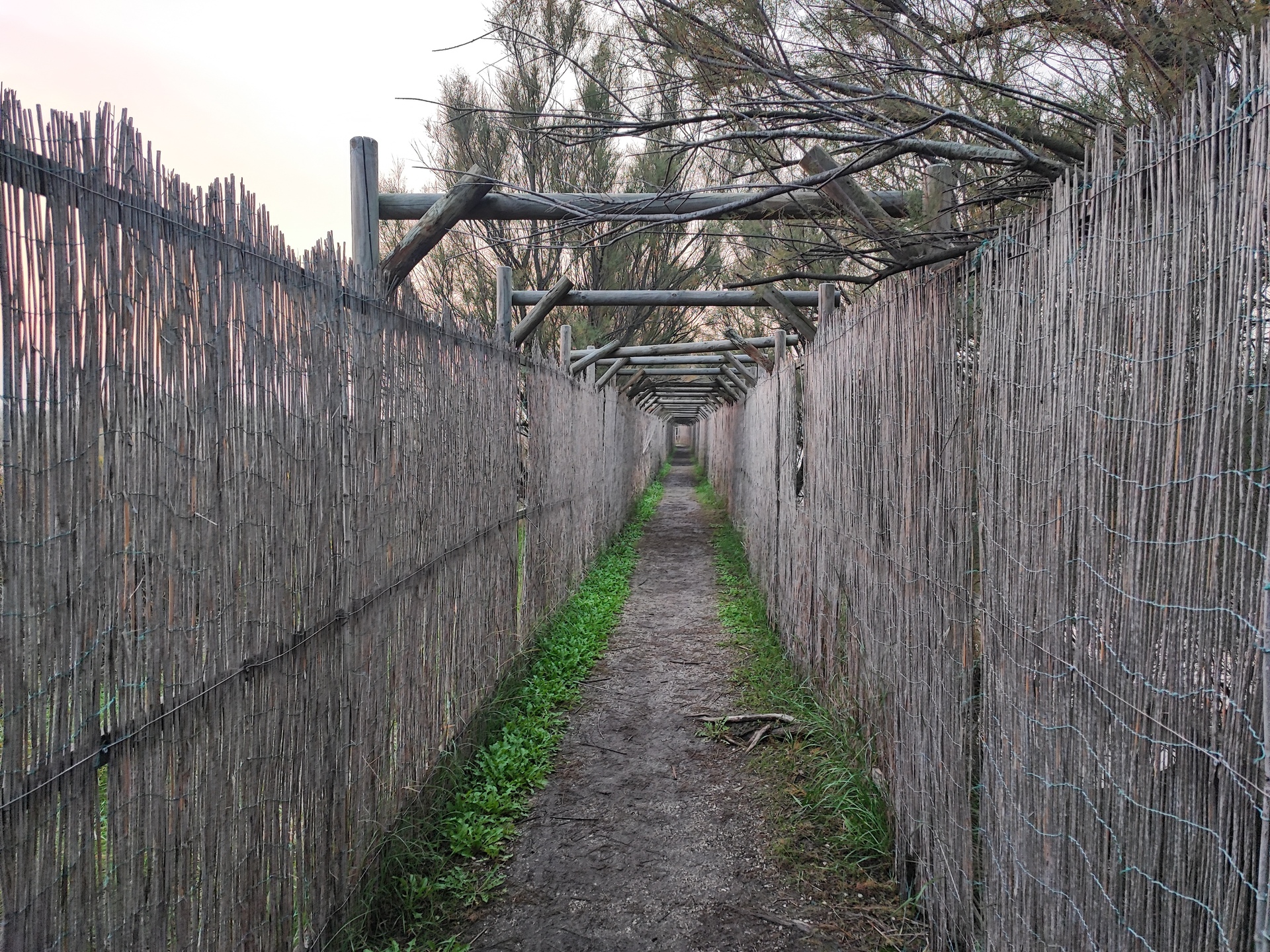
Section of the path protected by reeds
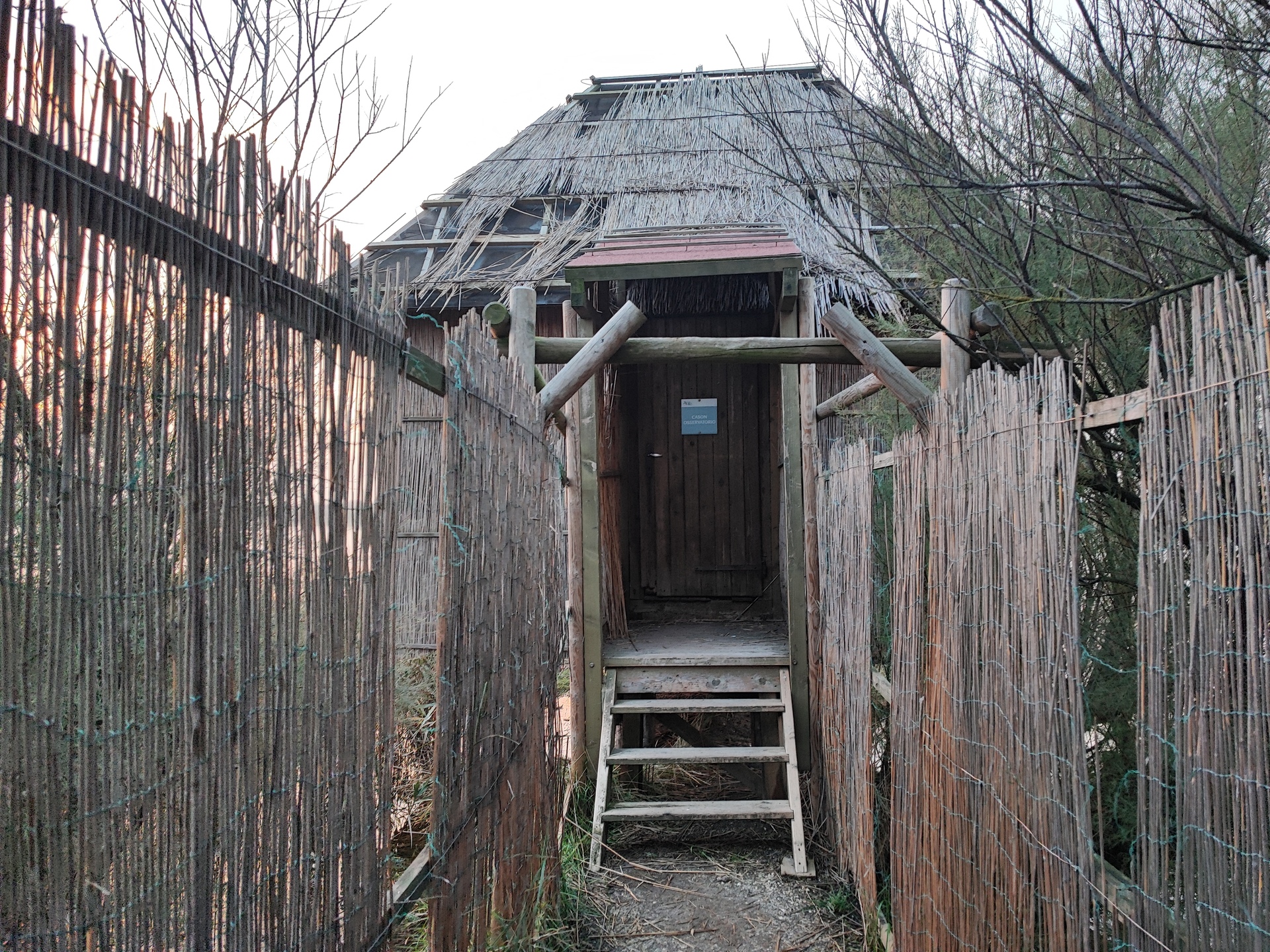
End of the path and arrival at the observatory
This is the path that leads from the Educational Cason to the Observatory and the Lagoon Aquarium.
The path is initially unpaved, followed by a long walkway one meter and twenty centimeters wide made of wooden slats - placed transversely - that crosses part of the lagoon valley.
After that, there is a surface of compacted gravel and asphalt, slightly uneven.
Along the path, there are some benches, and there are informative maps on the present flora and fauna, non-tactile, and some tactile plaques in Braille and with contrasting colors along the walkway in poor condition. The average width of the path is 120 cm.
The last twenty meters are characterized by fine but loose gravel, making it difficult to traverse.
At the end of the path, there is a cluster of buildings: the Lagoon Aquarium and the Panoramic Observatory; the latter is located on the first floor, above the lagoon aquarium, and can be accessed via a staircase or an external lift platform - currently not functioning - exposed to the elements.
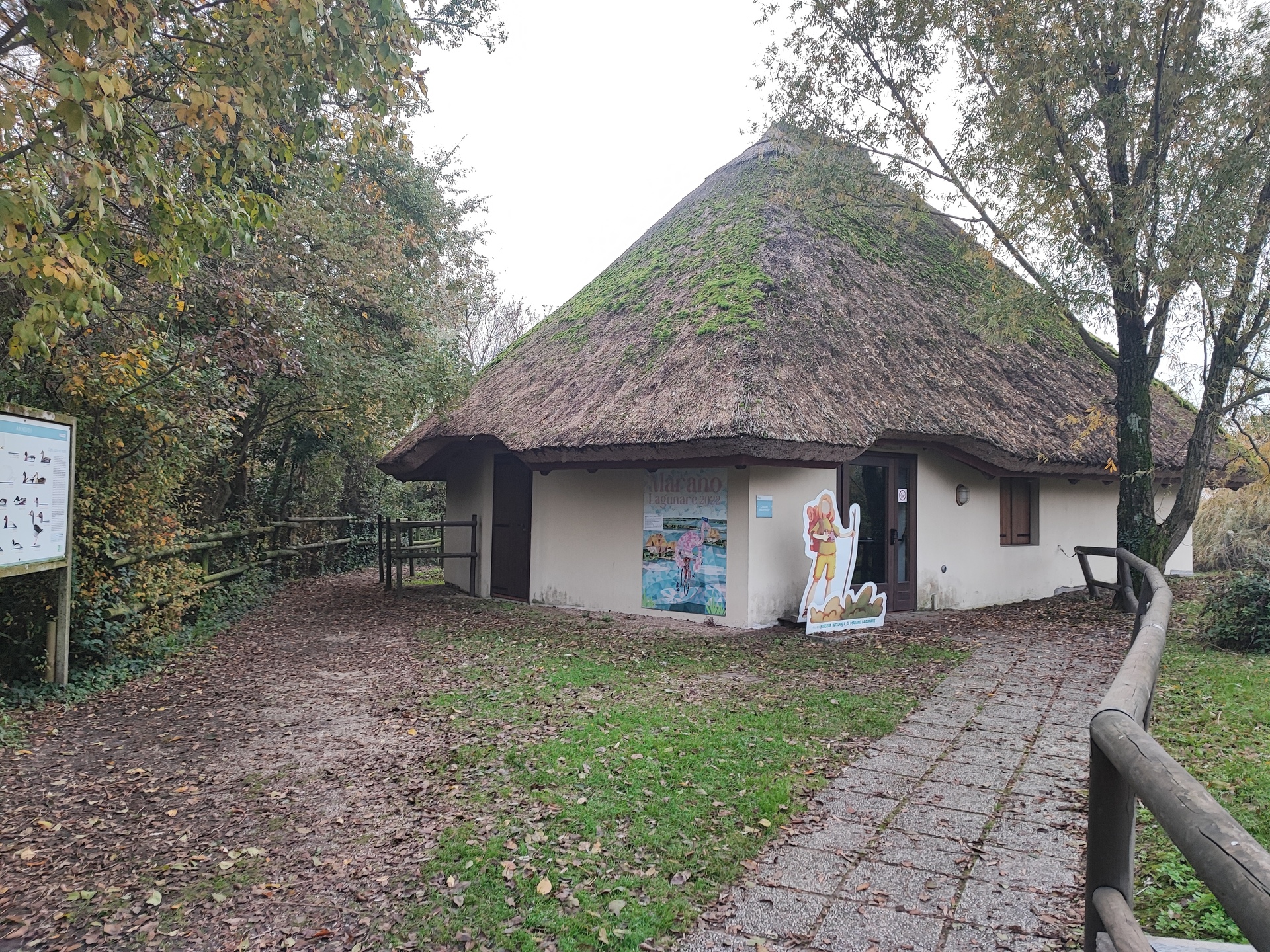
Start of the path section from the Didactic Cason
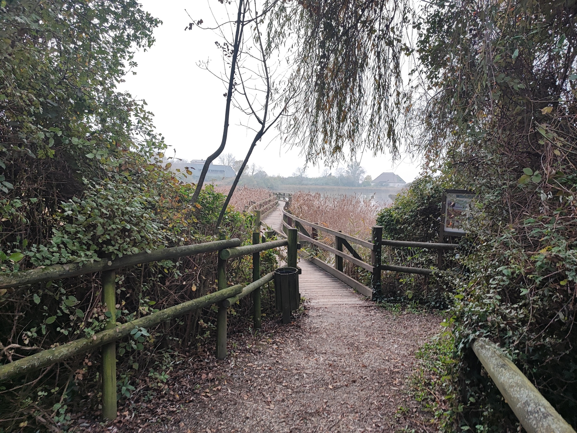
Path / bridge connection
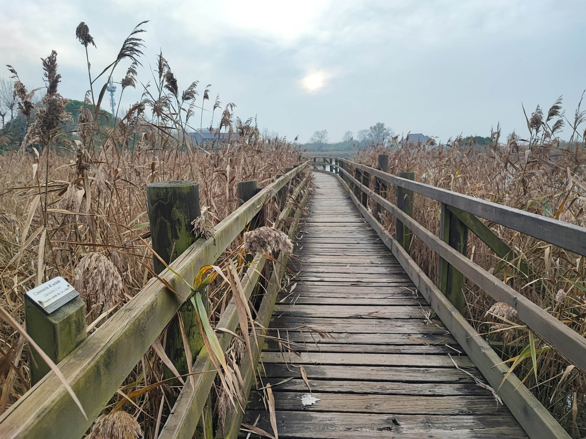
Bridge detail
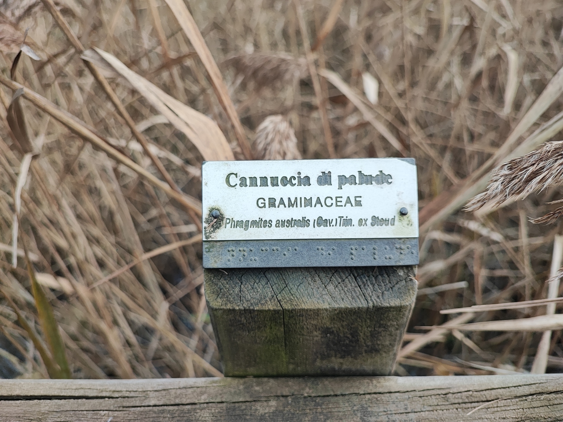
Detail of the tactile plaque along the path
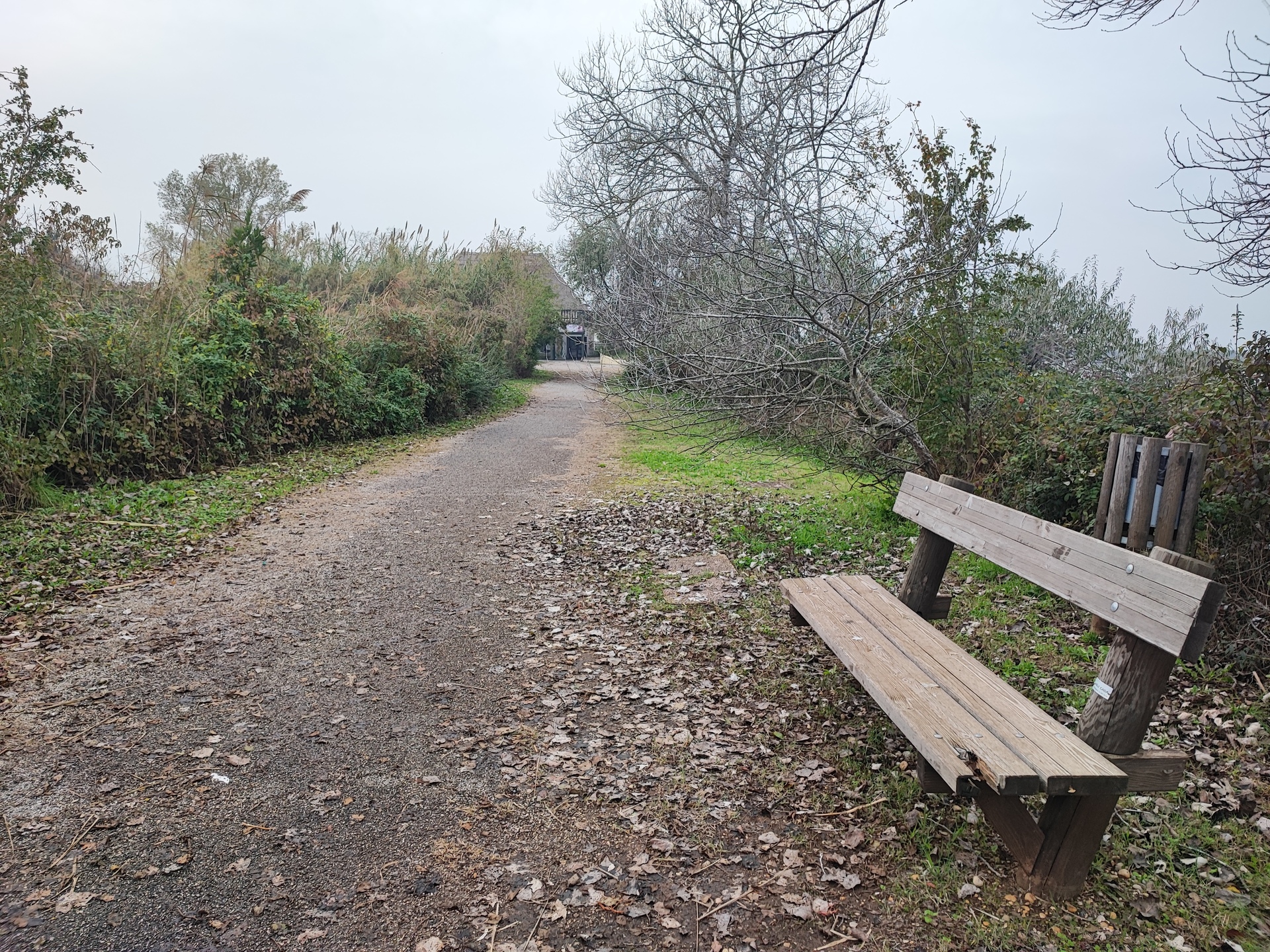
Path from the bridge to the aquarium
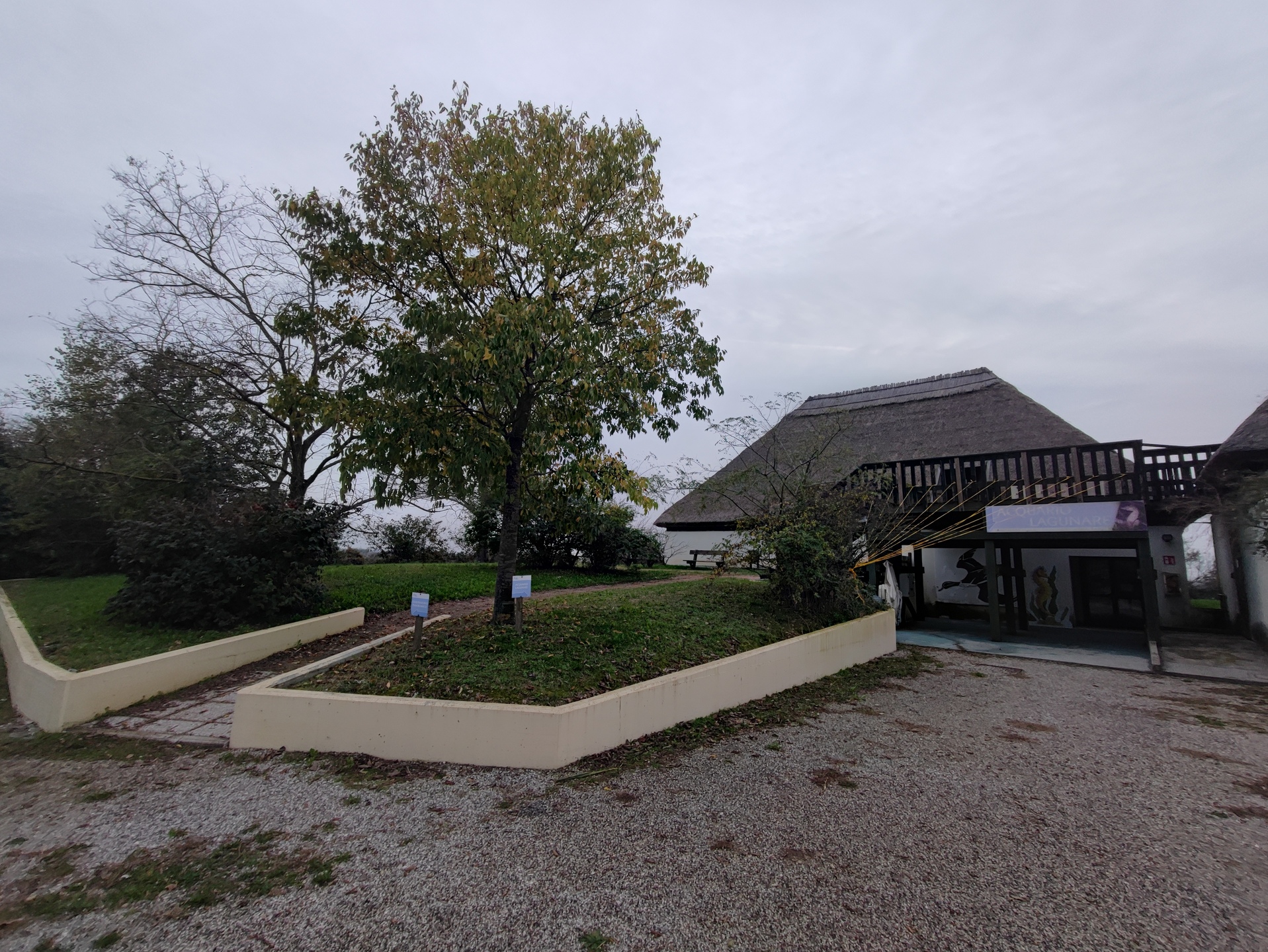
End of the path - aquarium and observatory
It is the path that leads from the entrance to the reproduction of a Paleolithic Village.
The flooring is made of beaten earth and grass, generally not very accessible. At the end of the path, there is a large open space without pathways.
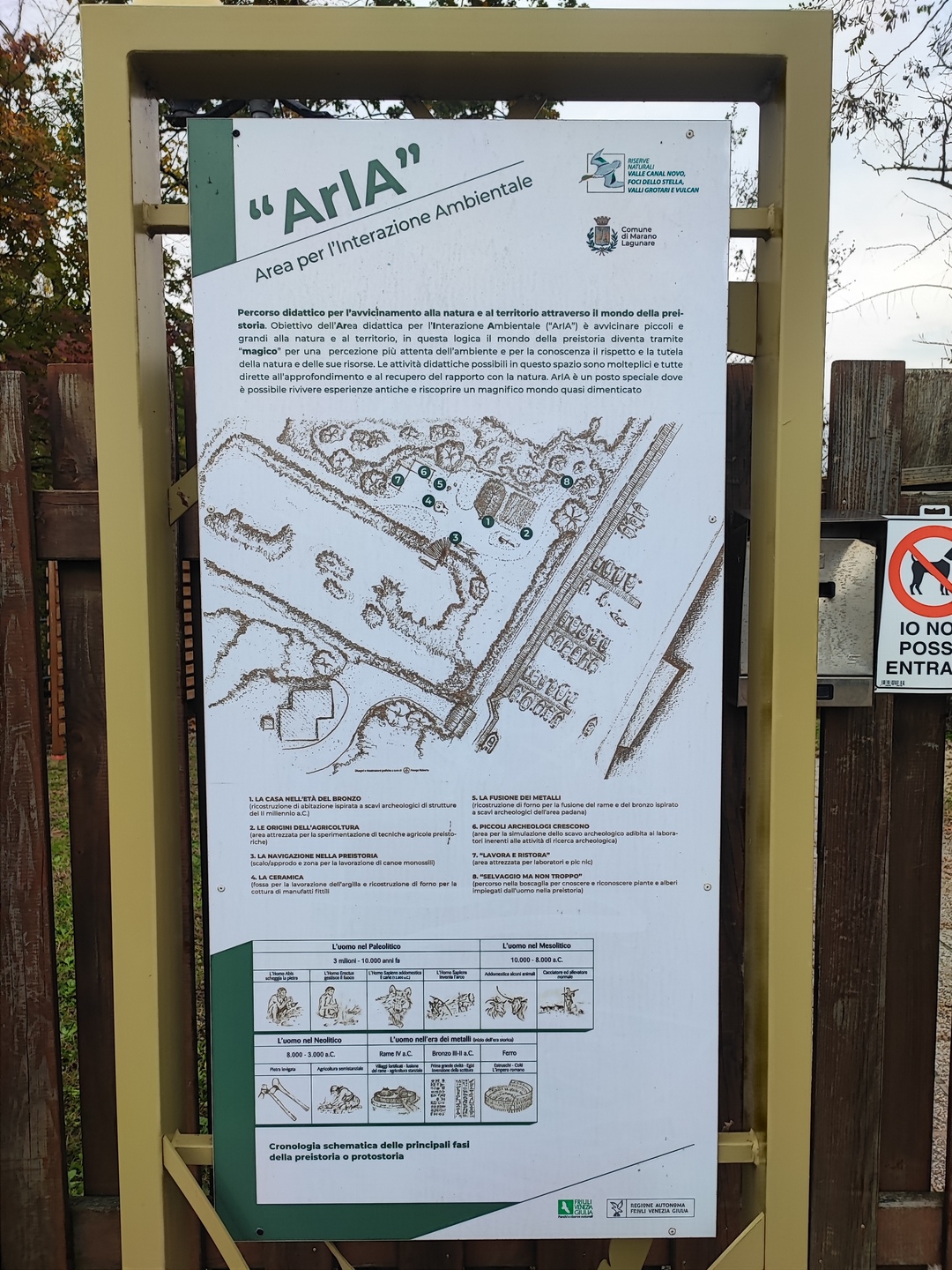
Sign with information about the Paleolithic Village
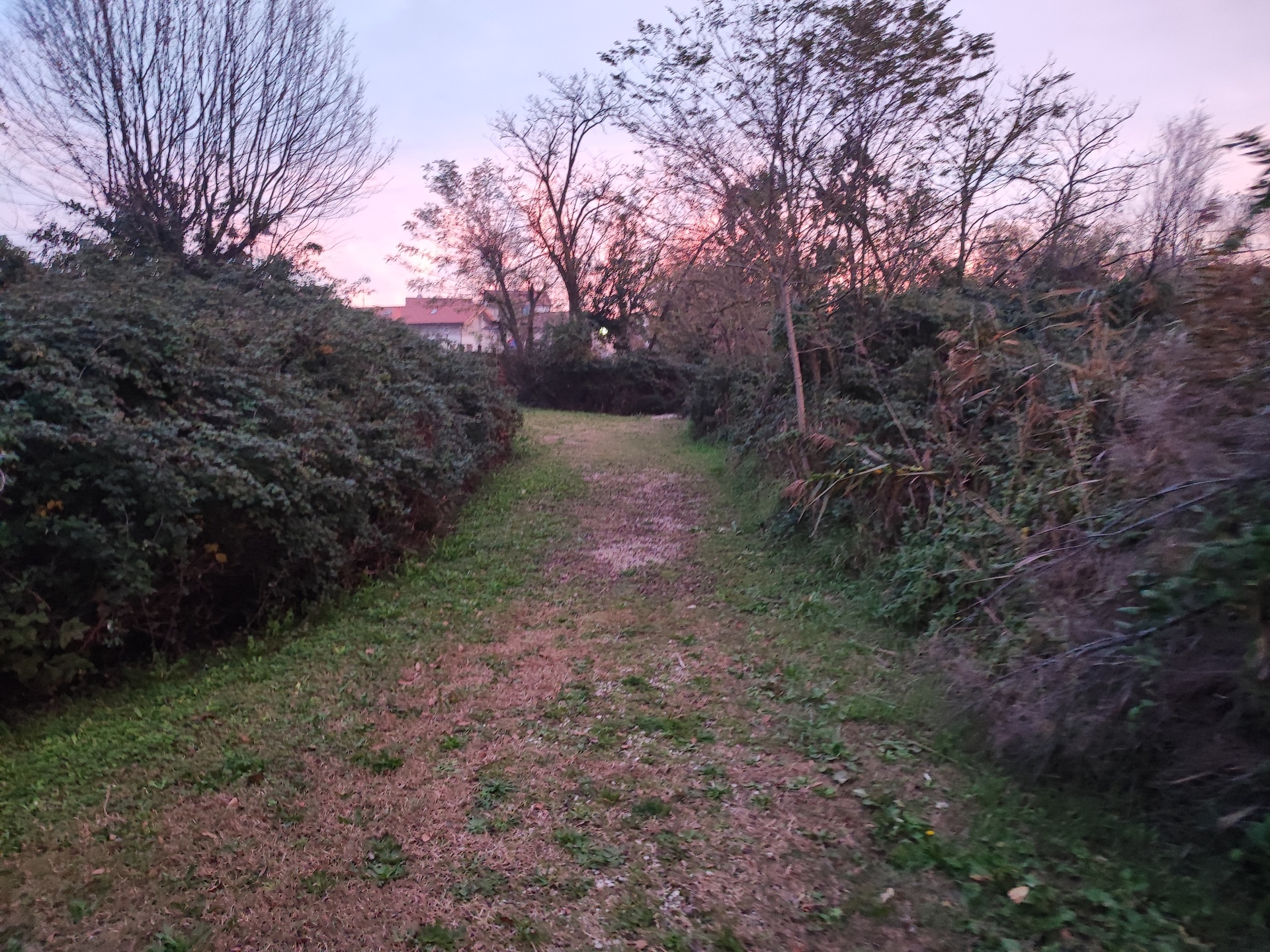
Path
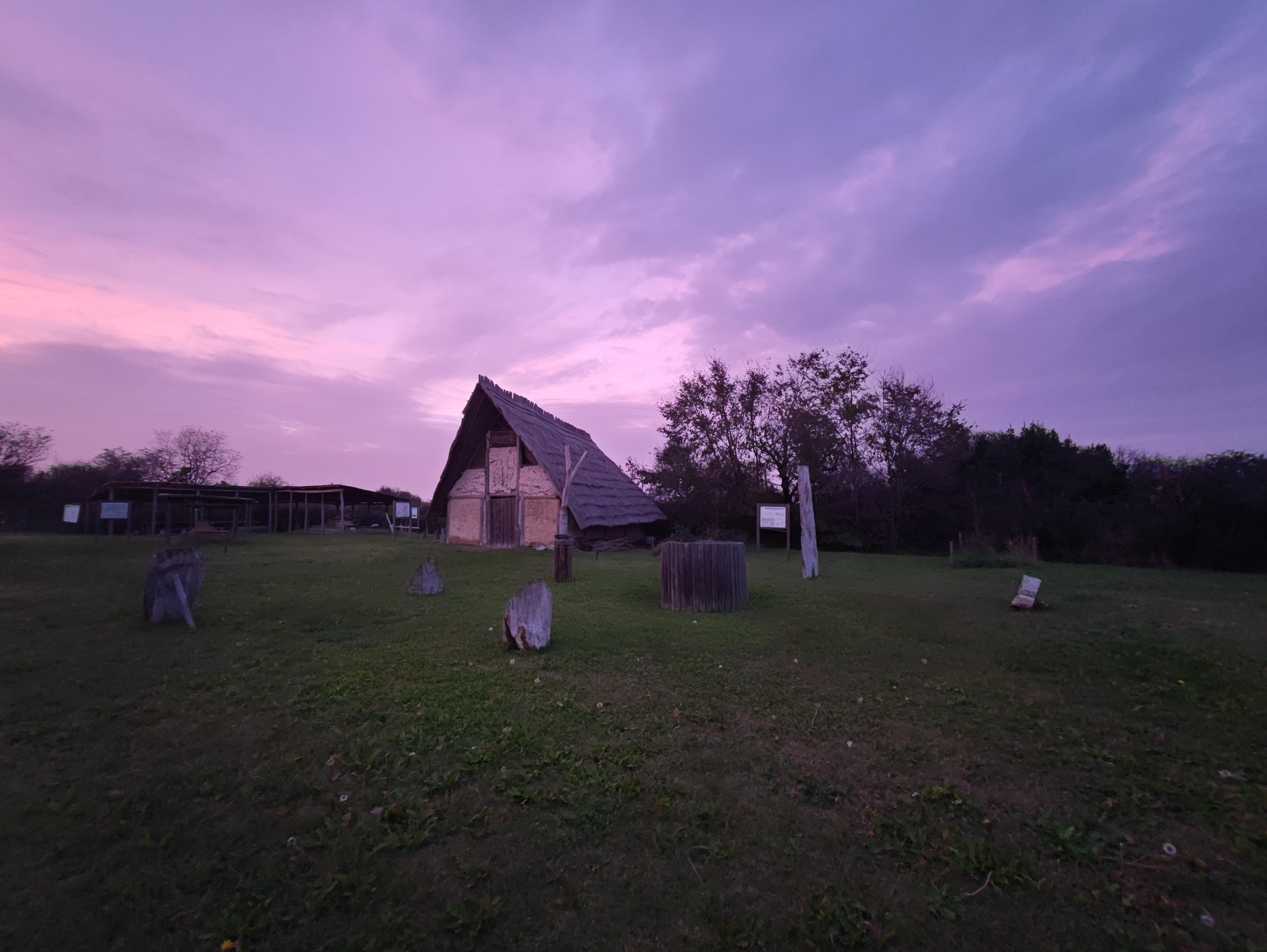
Paleolithic Village
2.8
/3
0.7
/3
2.7
/3
2.5
/3
1.5
/3