Duino - Accessible path Natural Reserve of the Cliffs of Duino

Sea
GENERAL INFORMATION
LAST INSPECTION DATE
11/01/2025
PLANNED ITINERARY
Duino - Accessible path Natural Reserve of the Cliffs of Duino
LENGTH
289 meters
DEPARTURE
Parking
The starting point of the path is from Provincial Road 2 in the locality of Duino. Near the starting point, there is a large deep gravel parking lot (Photo 1, 2). Along the sidewalk that connects the parking lot to the start of the trail, there are two reserved parking spaces in line, one of which is flush with the sidewalk (width 220 cm x length 535 cm) while the other has a step of 16 cm (Photo 4, 5).
The sidewalk connecting the center of Duino and the parking lot is 1 meter wide and is paved with concrete slabs without significant unevenness; proceeding from the parking lot to the start of the trail, the sidewalk widens to 150 cm (Photo 3). A few meters from the parking lot, there is a ramp 150 cm long with a slope of 9.8%.
Along the sidewalk, in a recess, there are two explanatory signs, one related to the thematic routes of tourist interest throughout the territory of Trieste and one specific to the Castle of Duino and the surrounding area; the panels are mounted on an inclined support without free space underneath with a minimum height of 81 cm. Lateral approach and change of direction are possible: the sidewalk is 150 cm wide.
From here, the slope of the sidewalk becomes 5.6% for a length of 16 meters, up to a widening in front of the start of the trail.
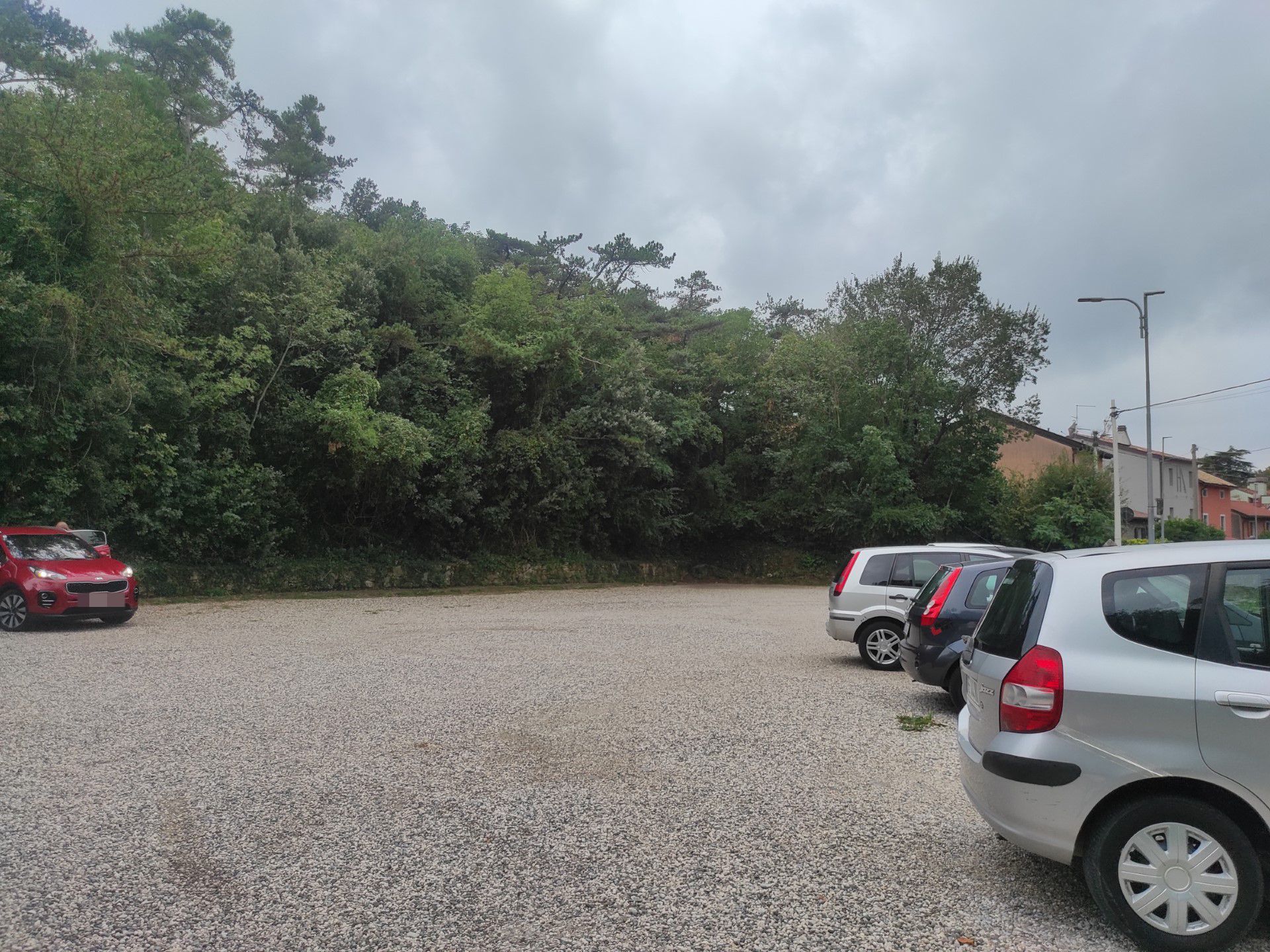
Photo 1
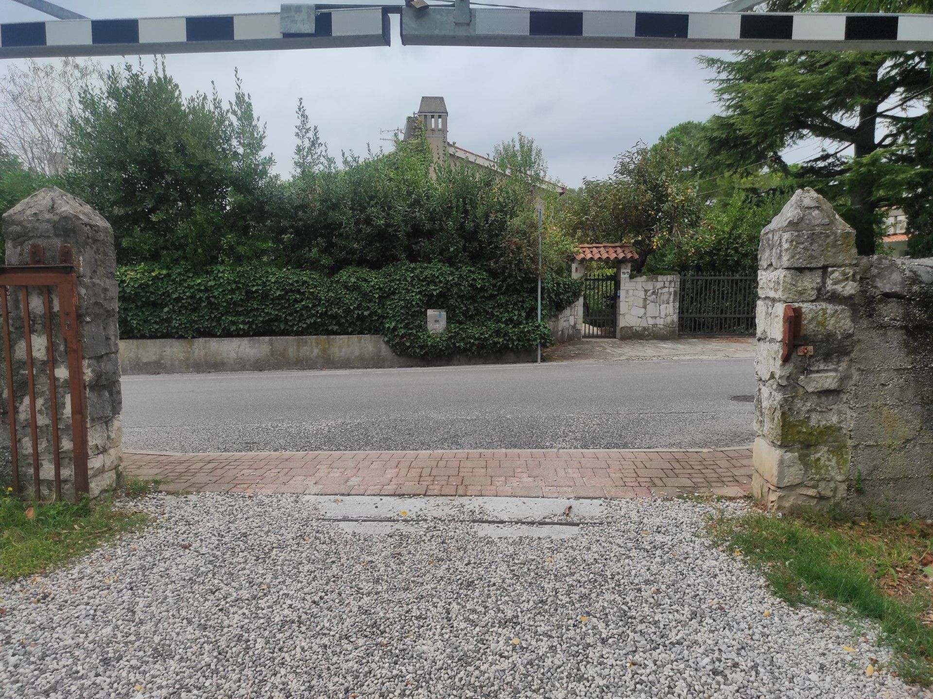
Photo 2
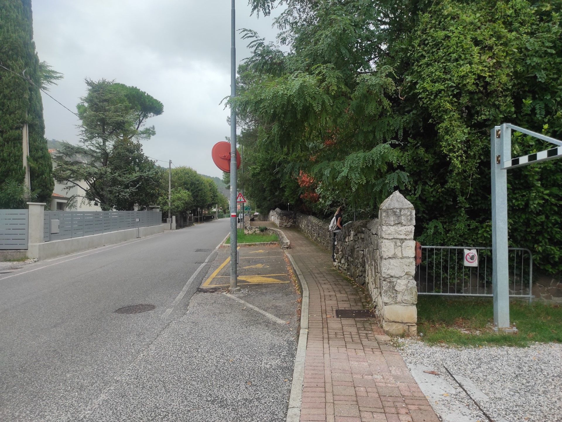
Photo 3
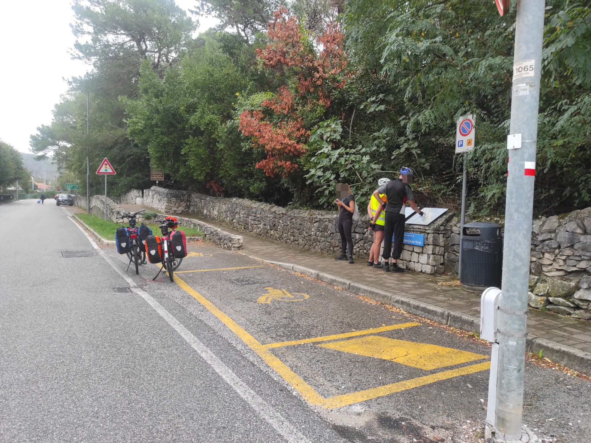
Photo 4
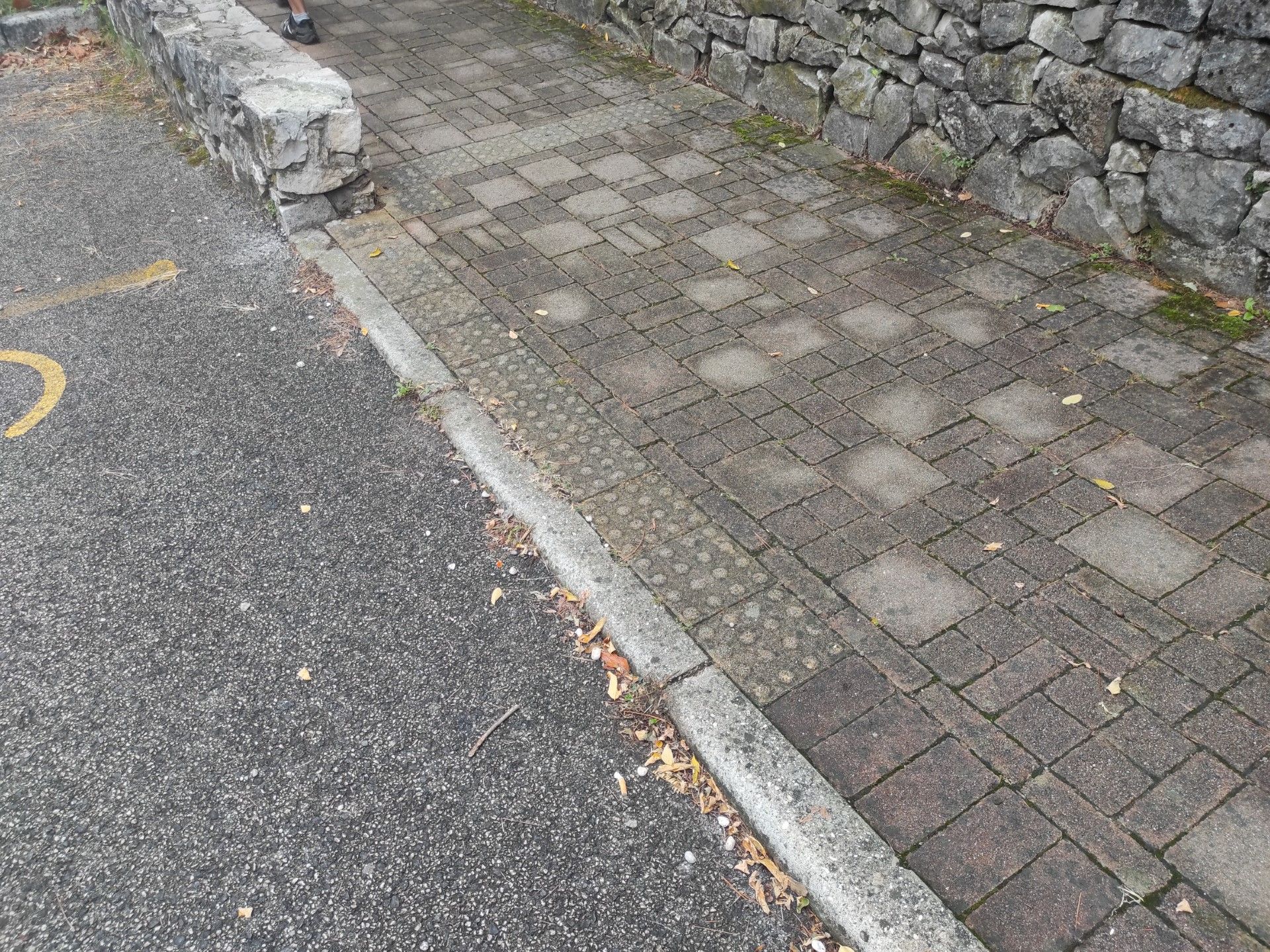
Photo 5
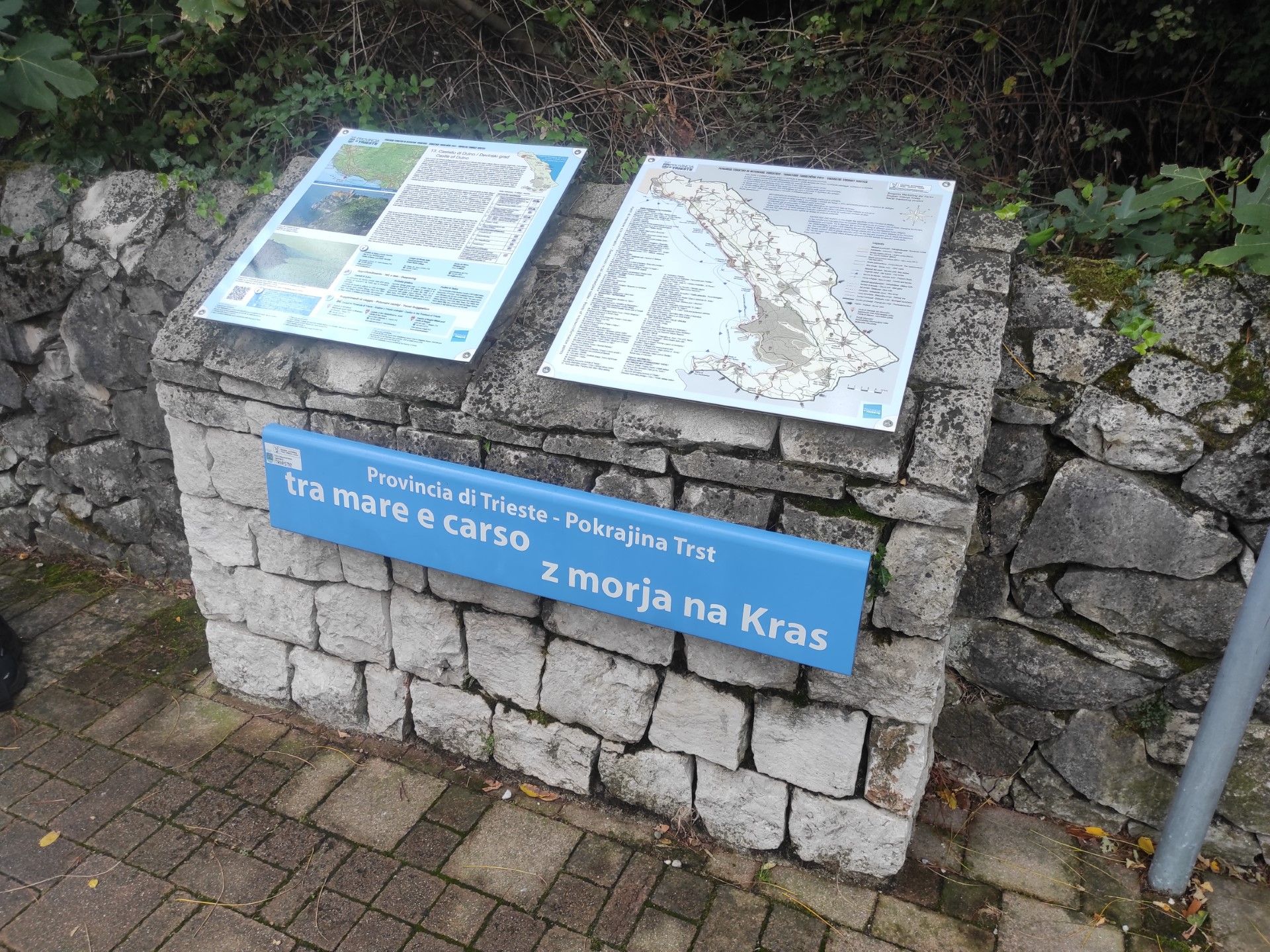
Photo 6
L'inizio del sentiero vero e proprio è segnalato da due paracarri ai lati del percorso (Foto 7). Da qui in poi il percorso è in salita delimitato in entrambi i lati da conci di pietra sbozzati e irregolari; si prosegue su pavimentazione in calcestruzzo con qualche sconnessione puntuale.
Dopo circa 5 metri dalla partenza è posto un pannello esplicativo (Foto 8) in posizione esterna al percorso pedonale non raggiungibile ad un'altezza minima di 112 e massima di 200 m. Il pannello contiene testi, schemi grafici e QRcode per l'accesso a guide interattive sulla flora e contenuti multimediali legati a Rainer Maria Rilke, cui è intitolato il sentiero. I testi del pannello sono scritti con font leggibile, nero su fondo azzurro o bianco e sono tradotti in 4 lingue: italiano, sloveno, tedesco ed inglese. La distanza obbligata dal pannello potrebbe renderne difficile la lettura.
Per i primi 20 metri si sale con una pendenza del 9,4%, intervallati da un pianerottolo (150x150cm).
In posizione esterna al percorso è presente una panchina, priva di adeguati spazi di approccio poichè si trova su fondo sterrato e il "cordolo" in pietre sbozzate ne ostacola il raggiungimento (Foto 9).
Dopo circa 30 metri troviamo un dislivello superabile o con una scala o mediante una serie di rampe con pendenza del 6,6% (Foto 10): la prima è larga 163 cm per una lunghezza 8 metri, con pianerottolo da 148 cm, la seconda è larga 130 cm ed è lunga 6,30, la terza è lunga 6,20 m e sono prive di parapetto.
Il percorso prosegue in salita per una decina di metri, presenta un piano orizzontale per poi riprendere in corrispondenza della curva con pendenza costante del 7,5% per altri 15 metri (Foto 11, 12).
Il fondo da qui si presenta sconnesso e interessato anche da depositi di materiale vegetale.
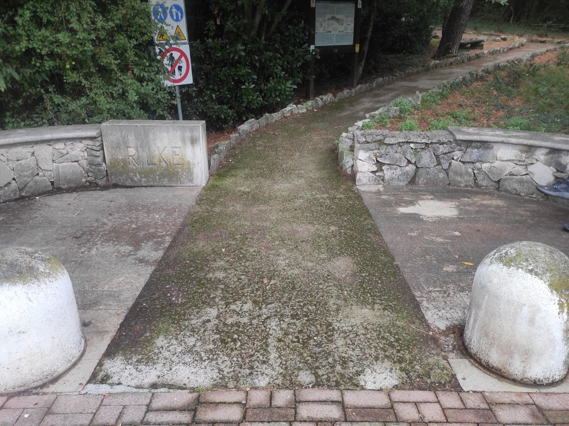
Photo 7
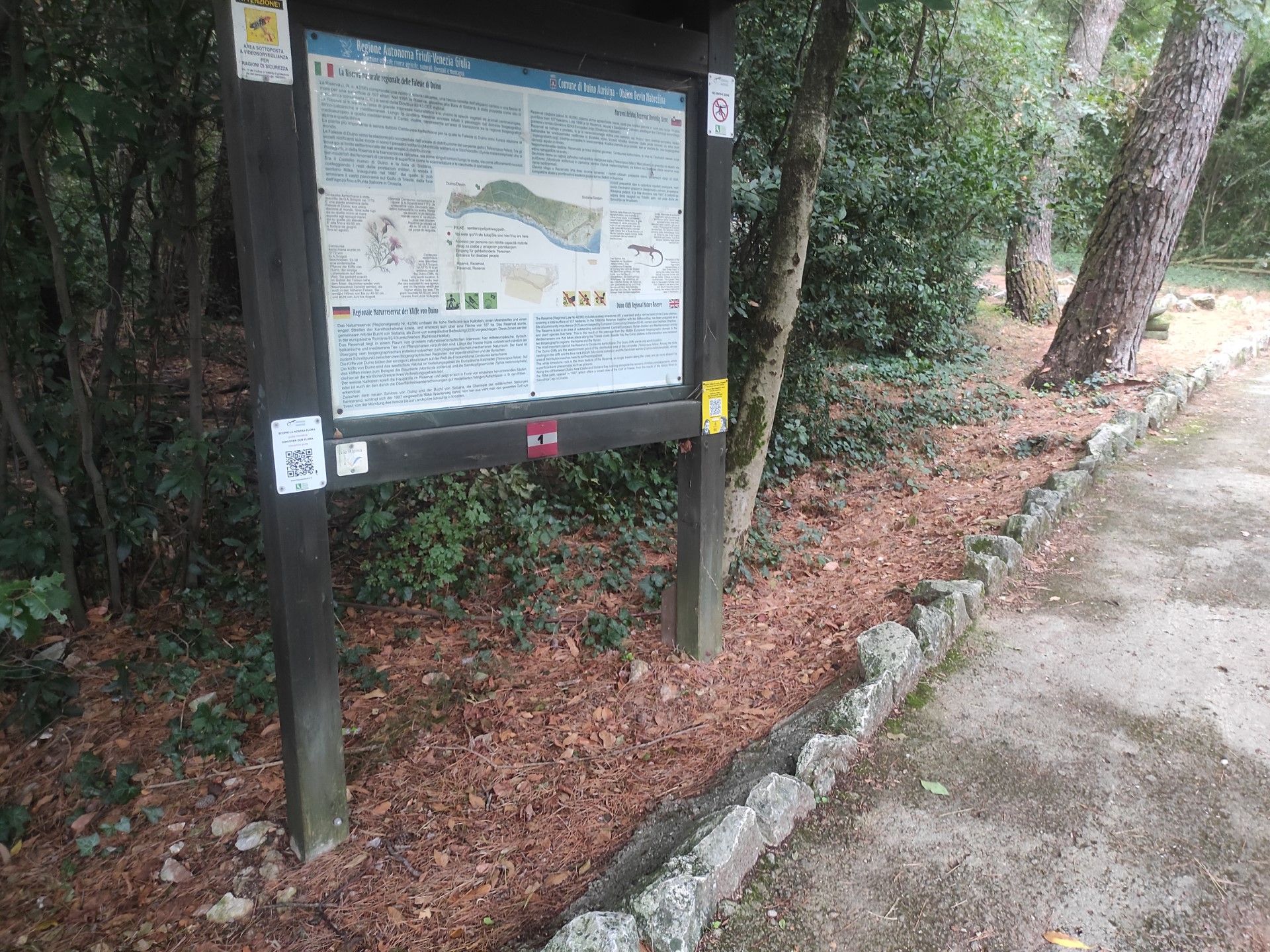
Photo 8
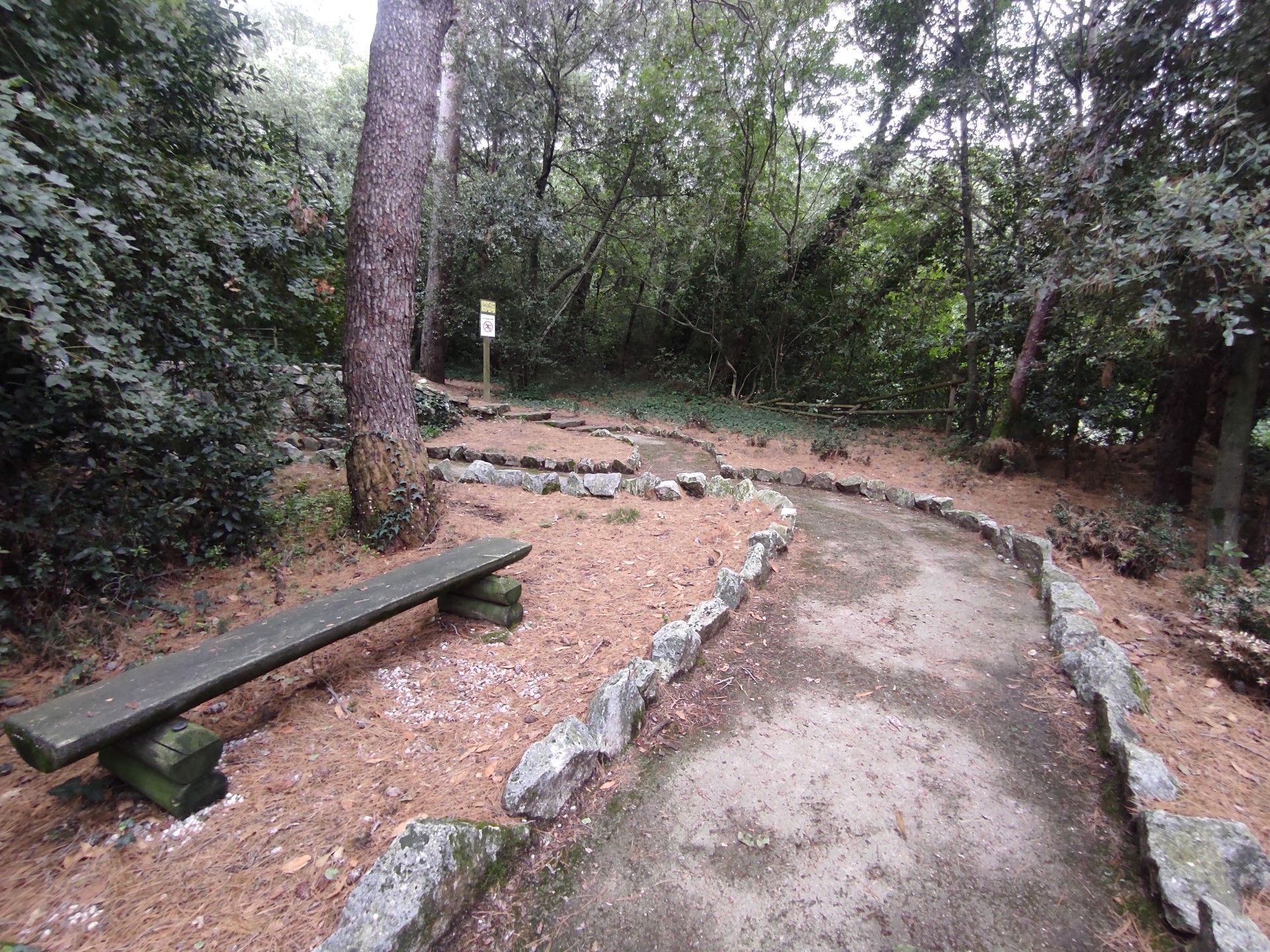
Photo 9
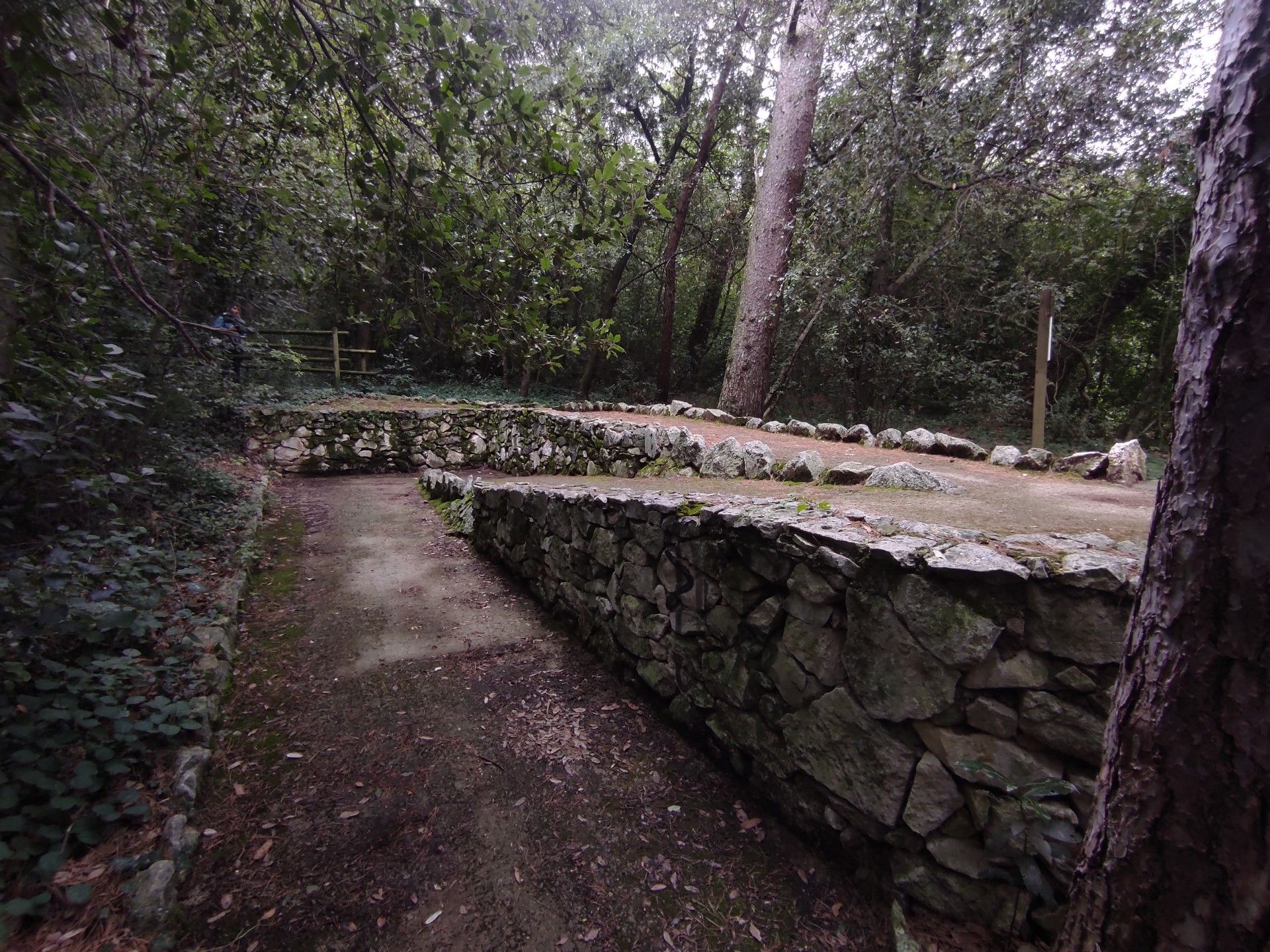
Photo 10
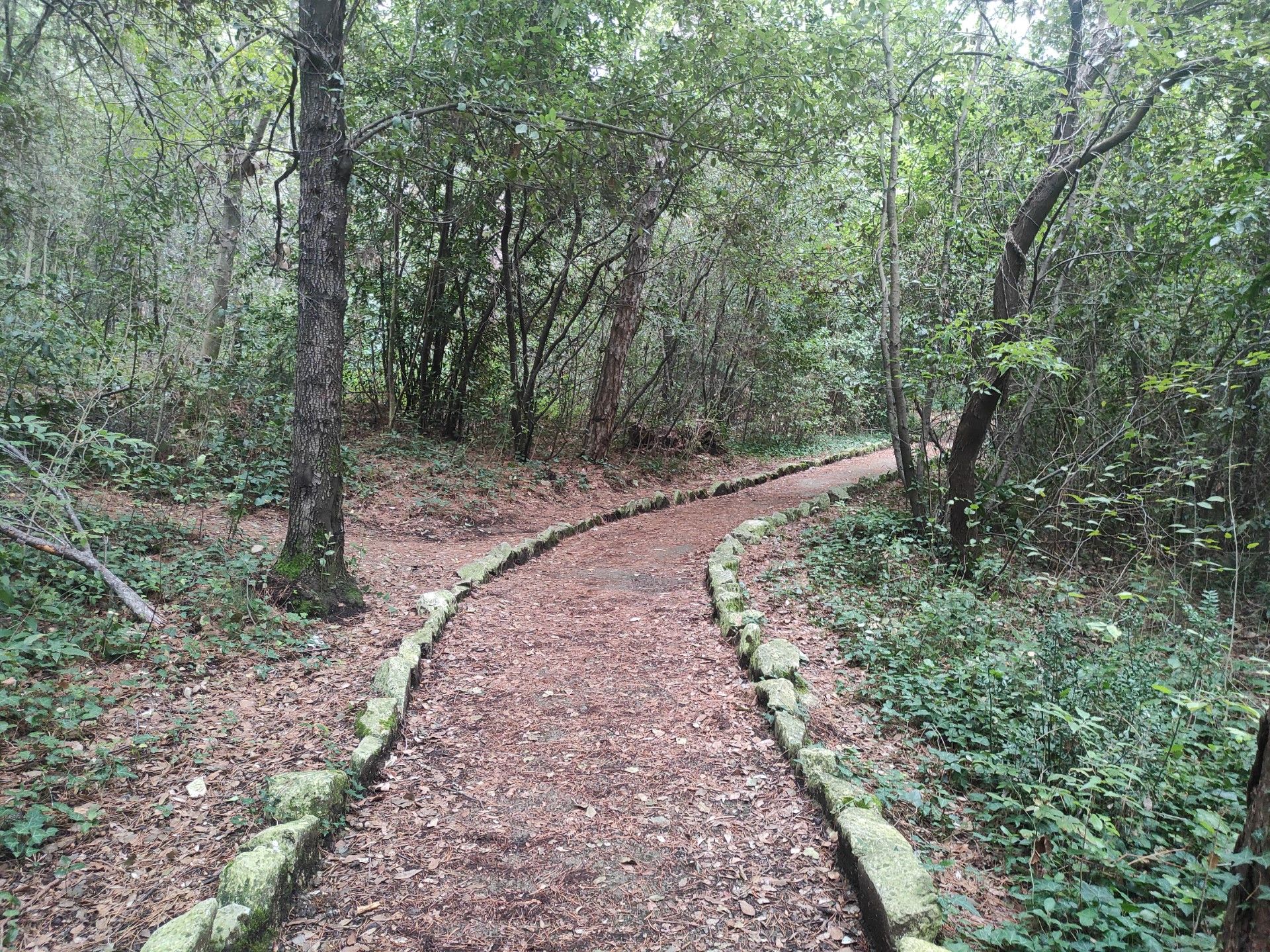
Photo 11

Photo 12
The path continues with a constant width of 150 cm, uphill with various flat areas alternating with sections with an average slope of 6.6% (Photo 13, 14). The surface becomes uneven in places, with bumps and subsidence of the pavement that is characterized in parts by coarse aggregates (Photo 15, 16, 17, 18).
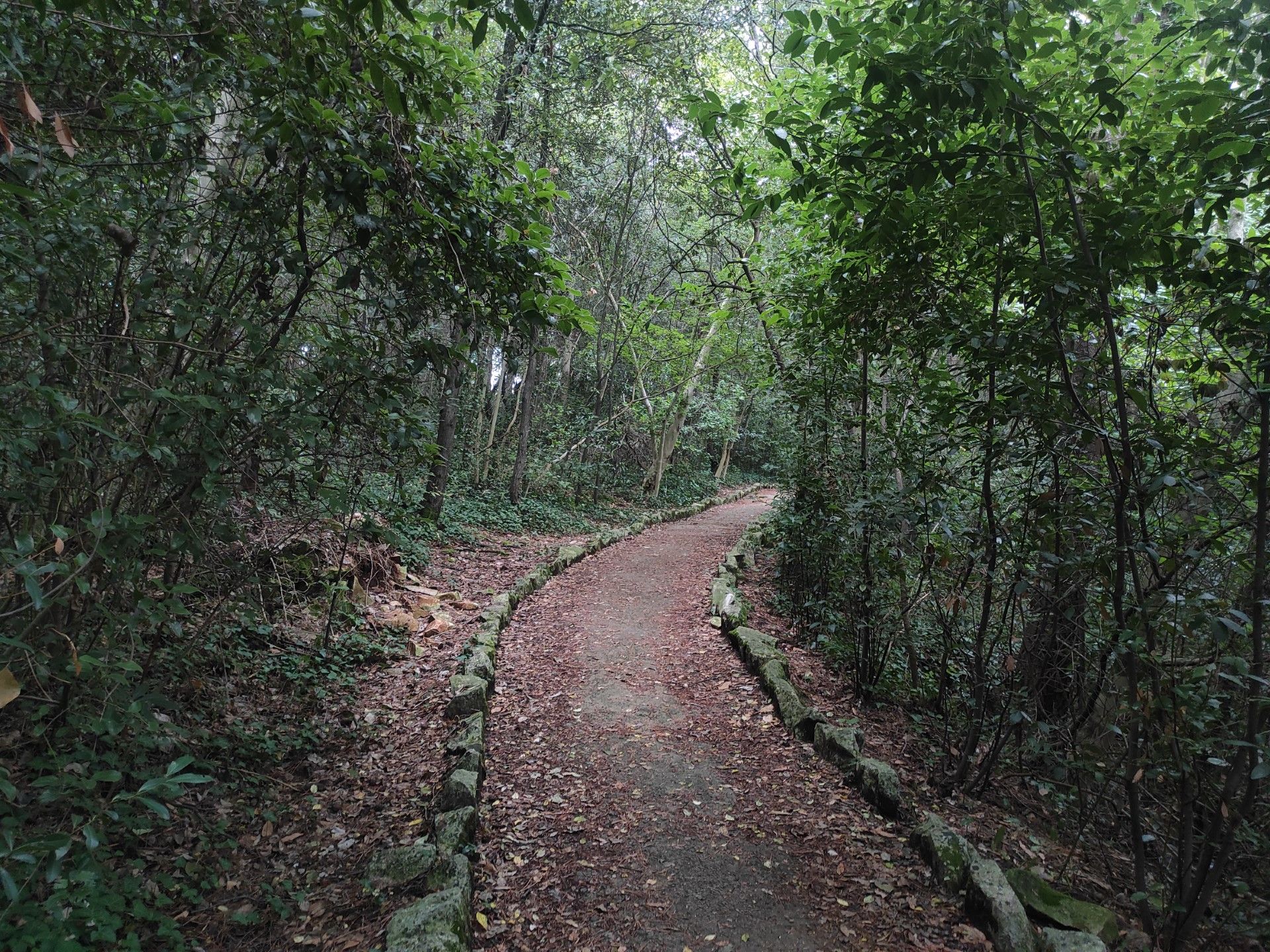
Photo 13
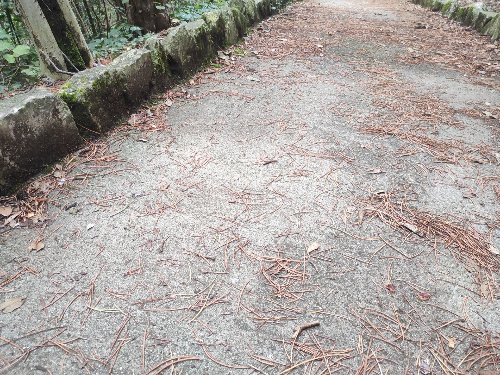
Photo 14
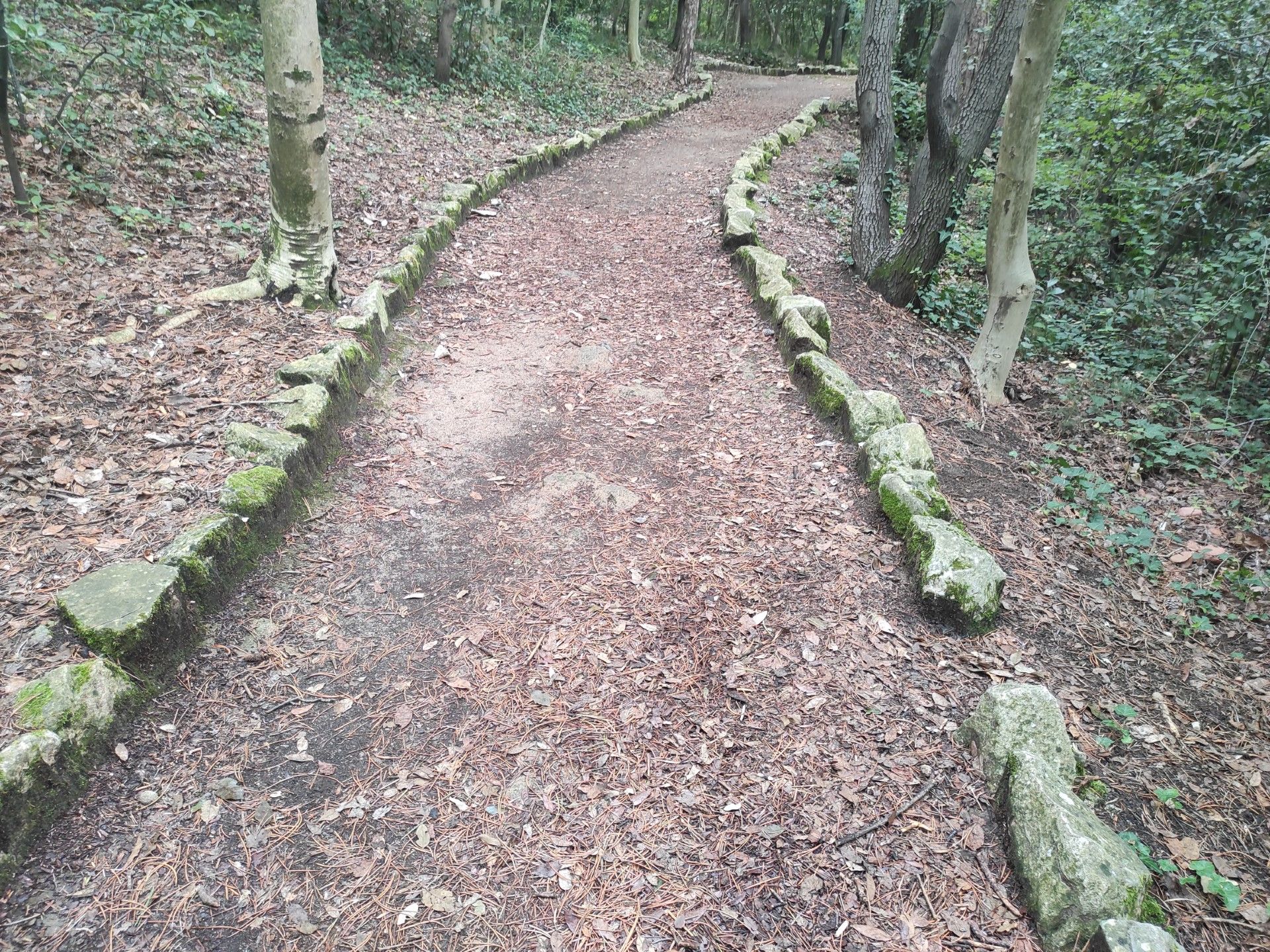
Photo 15

Photo 16
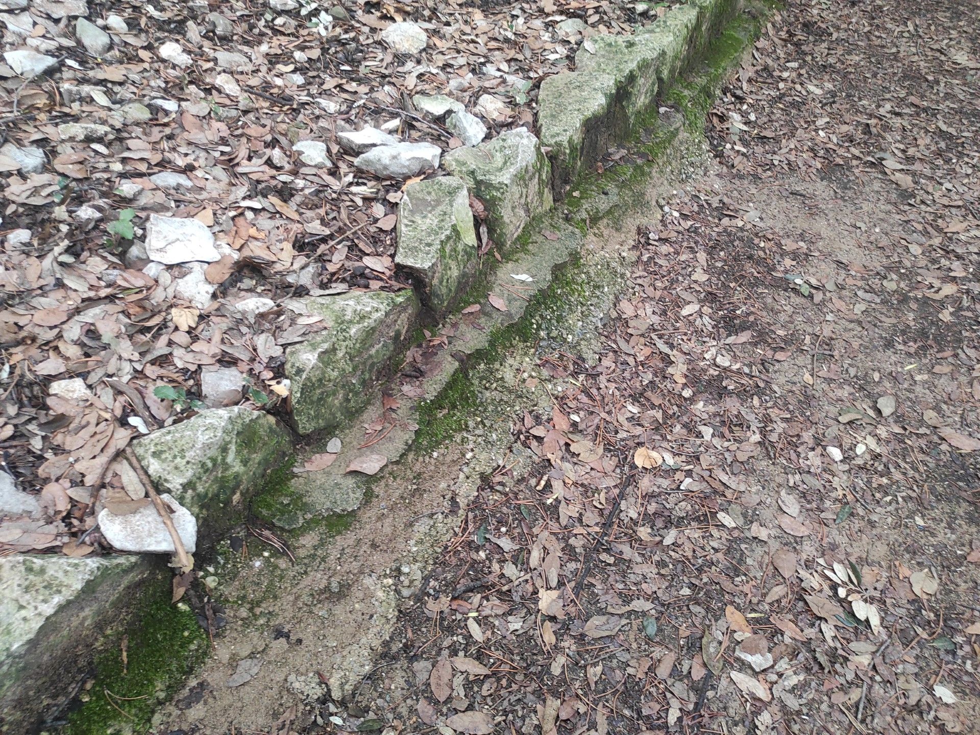
Photo 17
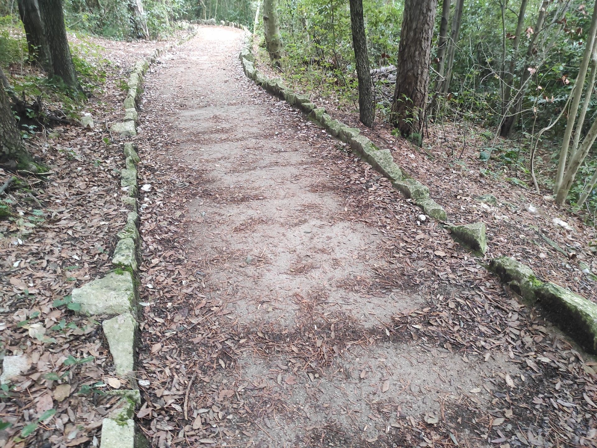
Photo 18
After this first stretch of ascent, the path presents a flat section of about 6 meters before beginning to descend (Photo 19) for about 6 meters with a slope of 17% until a flat widening (Width 3.98 m) with heavily eroded and uneven pavement.
The path continues on a slight incline for about ten meters, until reaching a new section with a slight descent (5.7%) with the presence of vegetation deposits and stones on the path.
The last section of the path (Photos 20, 21, 22) è is characterized by continuous pavement with slight unevenness in a slight ascent (2%) leading to the arrival point from which one can enjoy a panoramic view of the cliffs.
The area è is paved with compacted earth with erosions and unevenness. There is a wooden bench, without a backrest and armrests. The area è is protected by a wooden railing with a minimum height of 90 cm (Photo 23).
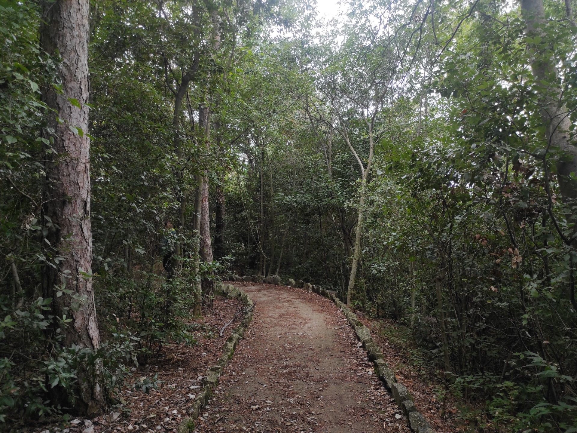
Photo 19
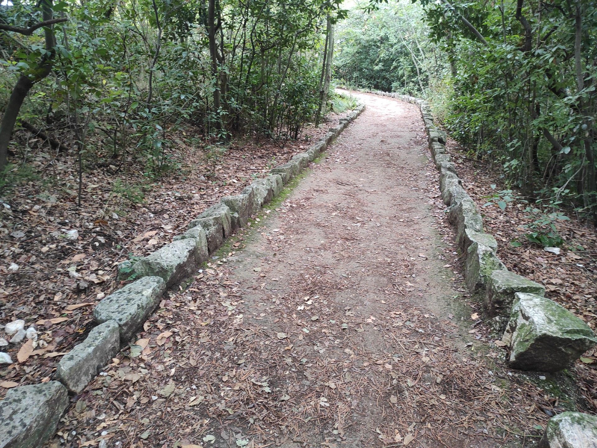
Photo 20
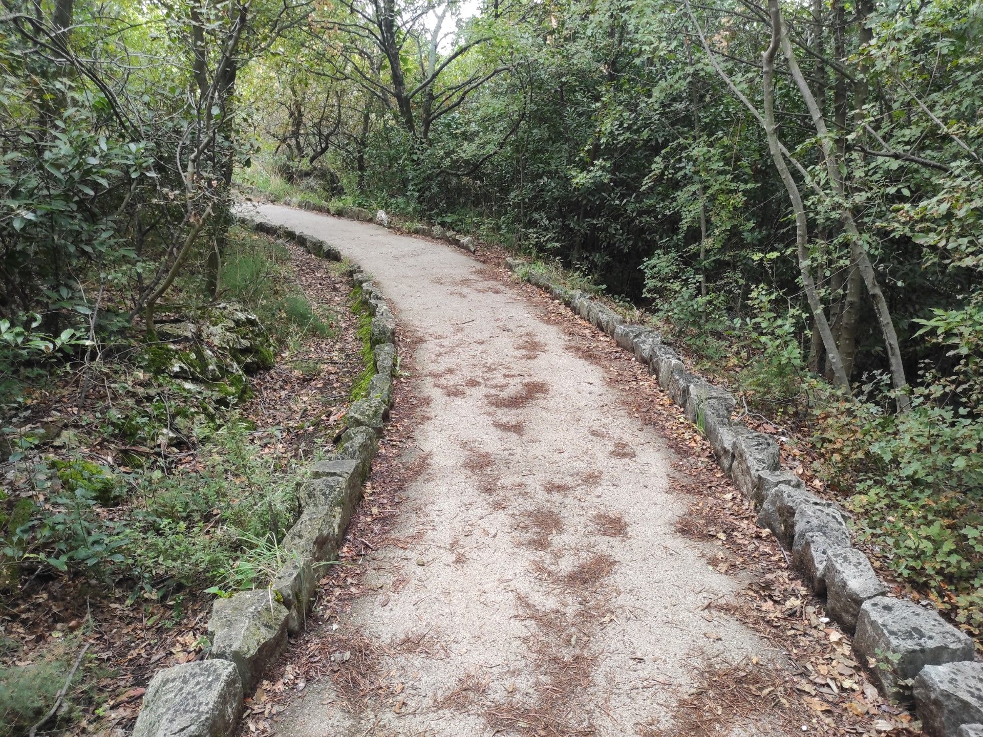
Photo 21
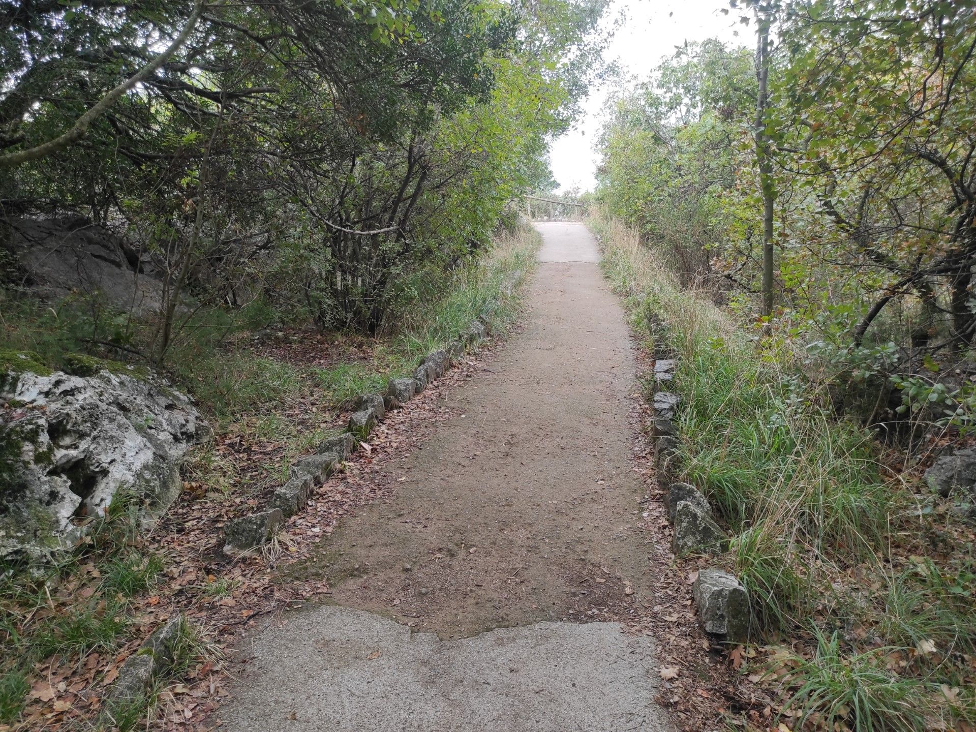
Photo 22
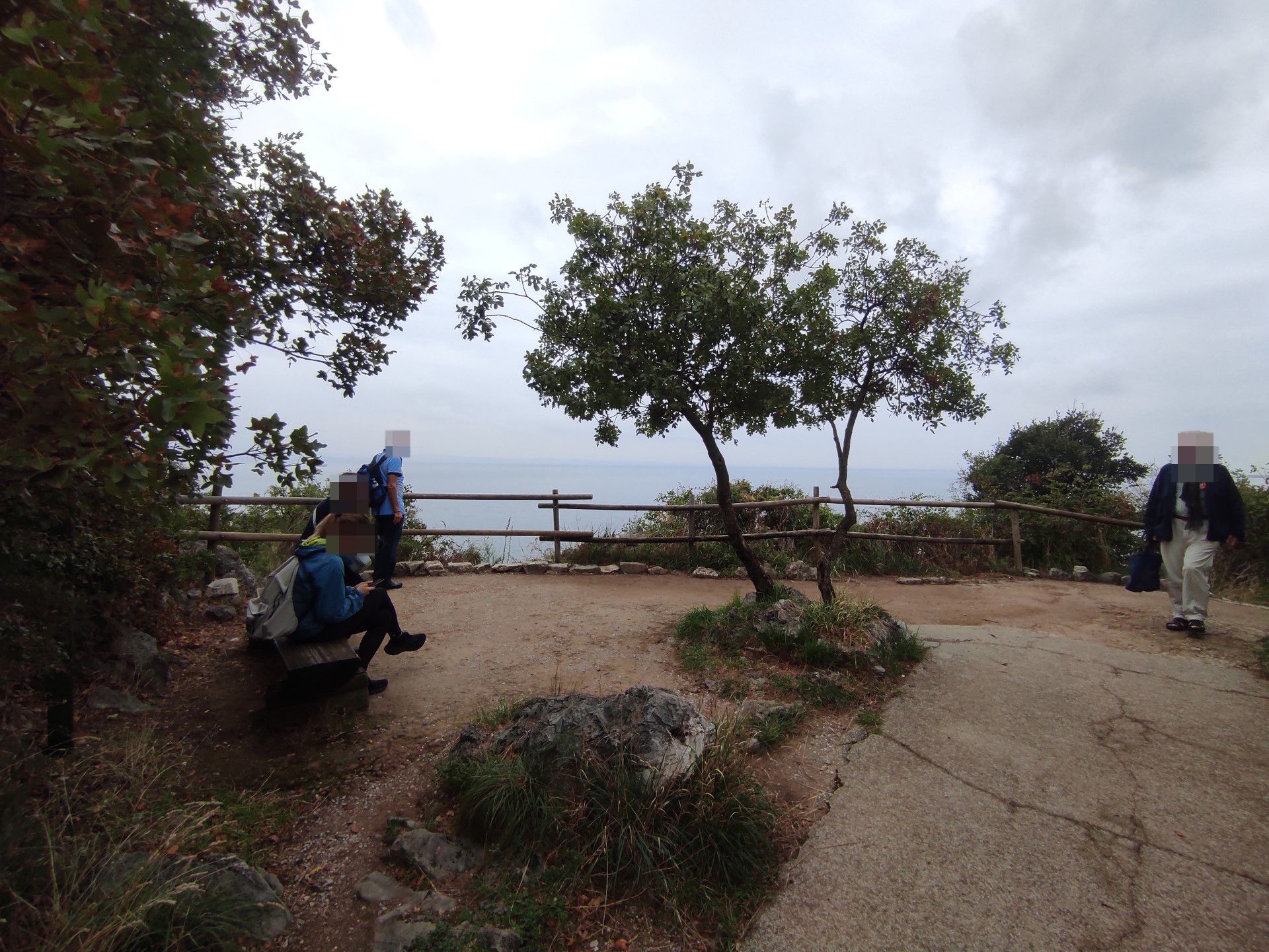
Photo 23