 MAP
Grado - Visit itinerary

Sea
GENERAL INFORMATION
LAST INSPECTION DATE
20/11/2023
PLANNED ITINERARY
Grado - Visit route
LENGTH
3472 meters
The path begins between Via Camperio and Riva San Marco and runs alongside the Porto Vecchio of Grado - where mainly sailing boats are moored - and on the other side, a series of shops and commercial activities.
The sidewalk, about 2.5 m wide, is made of architectural concrete with noble stone crossbands and is characterized by a slight slope towards the water.
There are two pedestrian paths, one on each side of the roadway, connected by pedestrian crossings with ramps that do not occupy the entire width of the sidewalk but ensure a continuous flat passage. In the middle of the path, there are also bollards for mooring boats and public lighting poles, which also leave a clear passage of at least 90 cm. Continuing along the path, towards the city center and the square, there is a bus stop and a parking area reserved for public use.
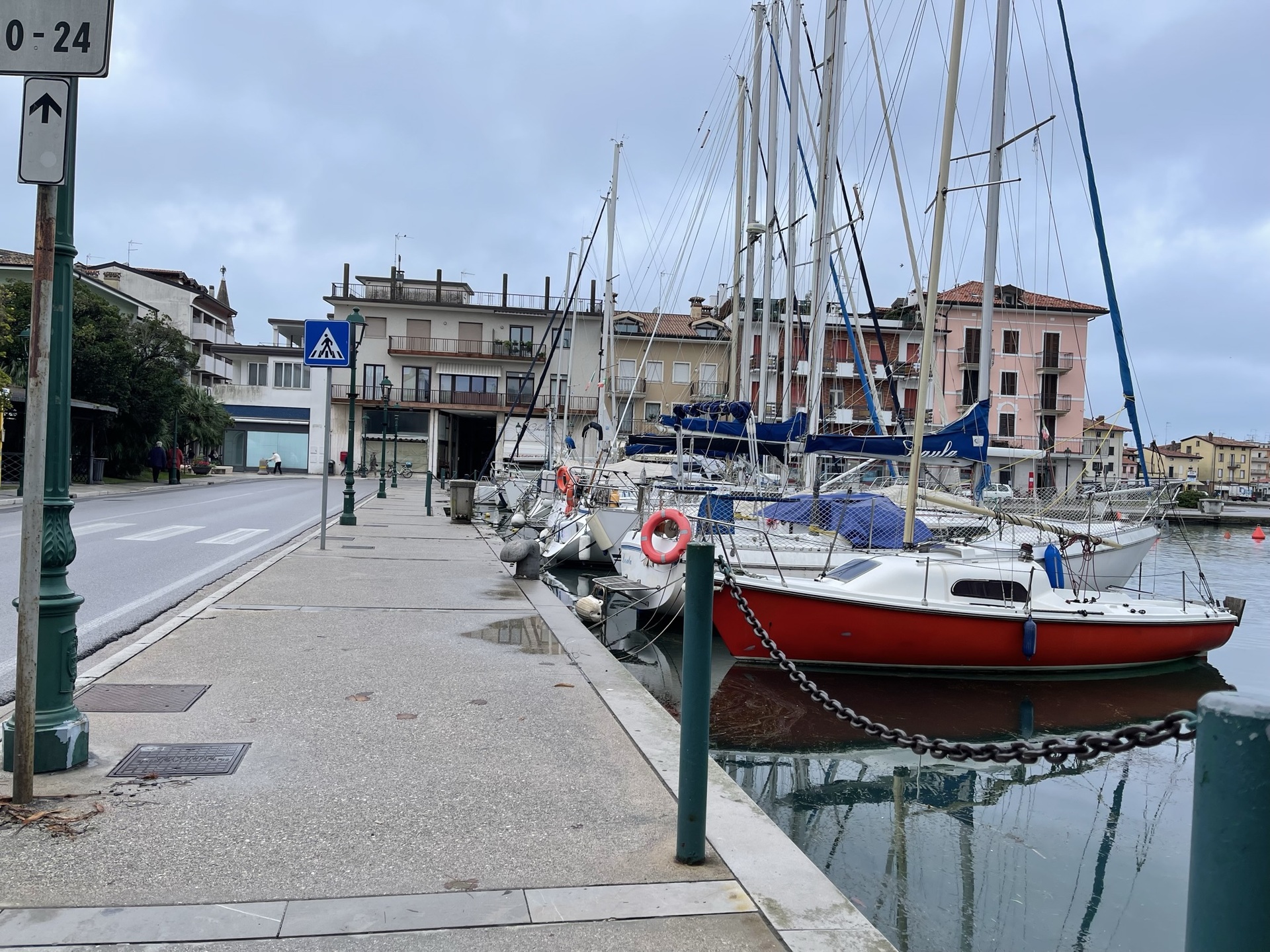
Start of the path
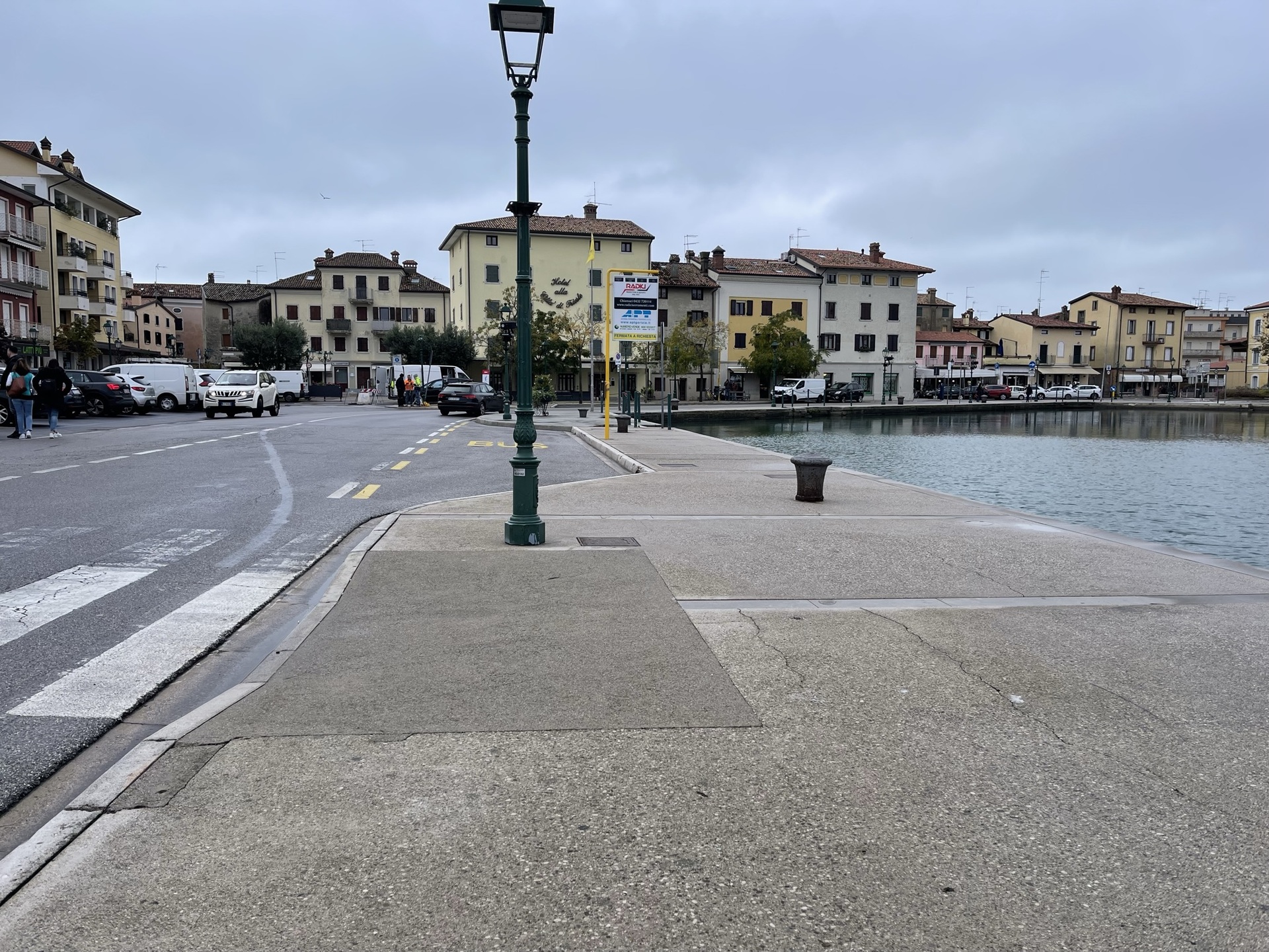
Bus stop
The second stretch, along Riva San Vito, è pedestrian. In the vicinity of the Bar al Porto, you can walk along the water on a noble stone pavement or further inland, alongside the buildings, on a pedestrian path made of concrete and porphyry cubes. Here you can also find round-based flower pots with seating.
At the beginning of the path, there is a private water taxi service, with a floating dock, that manages the transport of people and excursions to the islands of Barbana, to Portobuso, and visits to the casoni of the Lagoon. The other moored boats are mostly fishing boats; near the shore, there are nets and fishing equipment that occupy part of the walkway.
At the intersection between Riva dei Bersaglieri and Via Leopardi, the pedestrian area ends to continue with a one-way street accessible to cars. During the day, vehicle traffic è low and pedestrians walk safely along the asphalt roadway. There are no seats along the path.
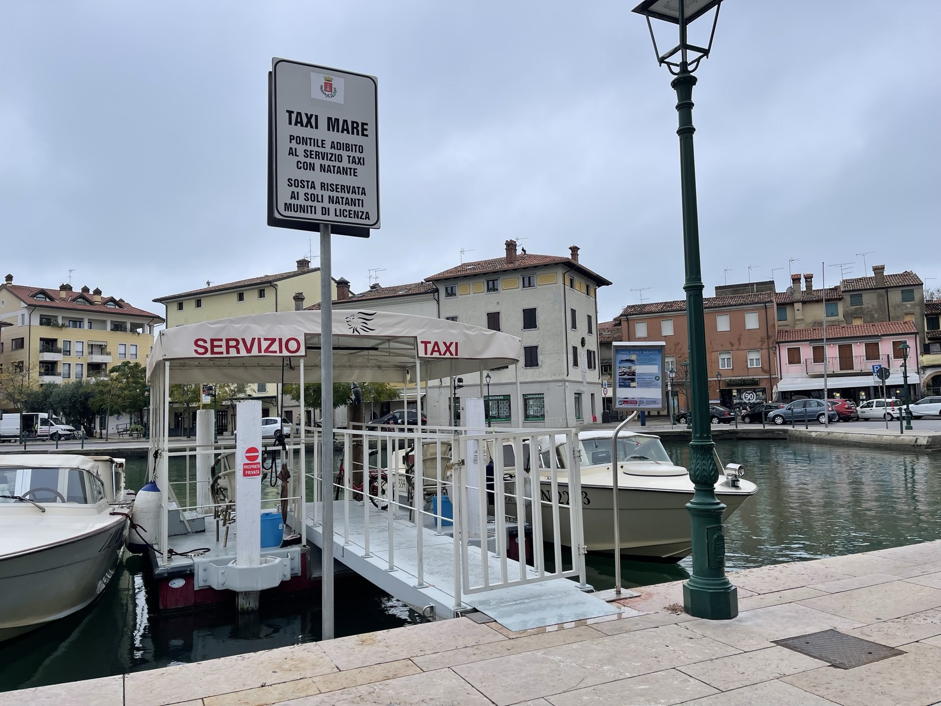
Private water taxi service
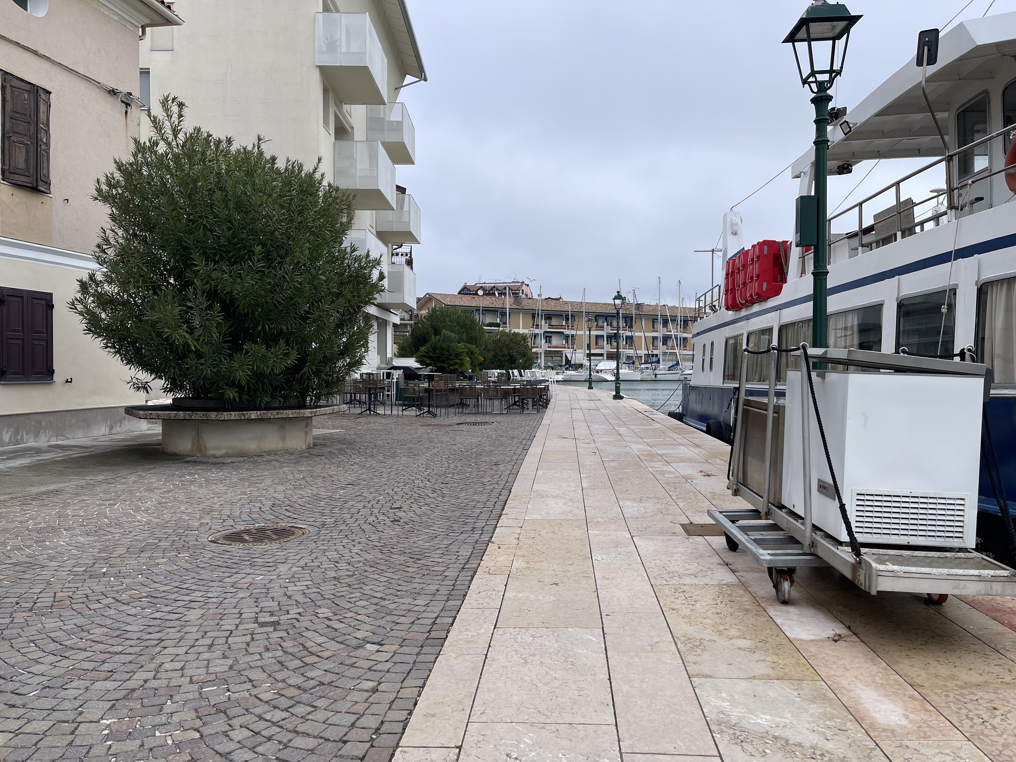
First part of the pedestrian path
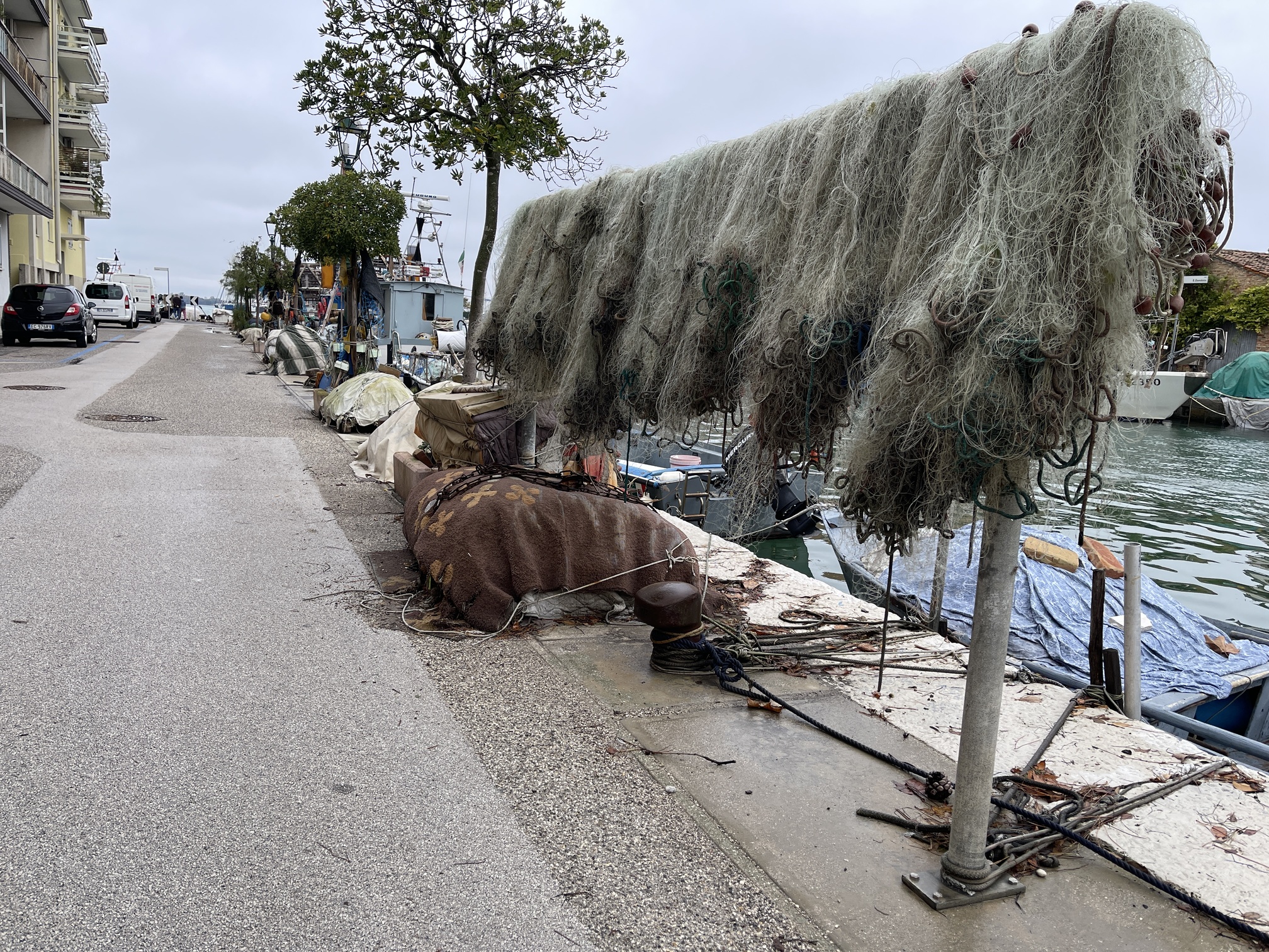
Mixed-use path
Near the intersection with Via Trieste, pedestrians can walk along the port's edge on a noble stone sidewalk in excellent condition. The view allows for observing the panorama of the lagoon and the trans-lagoon bridge. There are some reserved parking spaces, and below, at the roundabout, there is a bus stop with resting benches and a gazebo built in a neo-liberty style.
A little further ahead, the sidewalk ends, and it is therefore è necessary to descend and proceed along the paved road. The path continues alongside boat sheds and private homes.
From the intersection with Via Pampagnola, there is a sidewalk on each side, both in asphalt and raised, connected with ramps to the road and driveways. Some sections, especially near the driveways, have significant cross slope.
From the intersection with Via Pola, the path continues on Via Trieste, which resumes being a pedestrian area, characterized this time by a paving of porphyry cubes and pink stone slabs. The maintenance of the area is good, with trees, flower beds, and an area with benches.
After the pedestrian area, the path continues on Via Pisa, with a sidewalk on each side in asphalt, and on Riva Giovanni da Verrazzano, the latter being one-way, characterized by a sidewalk in porphyry and concrete and the other in cement. This is the least accessible section of the path as the concrete sidewalk is uneven, raised more than 25 cm from the roadway, and connected to it with short, very steep ramps: the bus stops are located on this side, making them inaccessible to people with mobility disabilities.
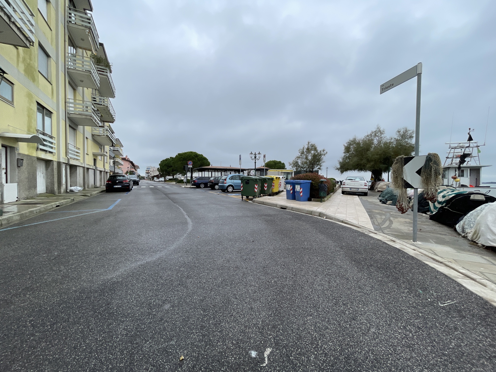
Pedestrian path "Belvedere" in Via Trieste
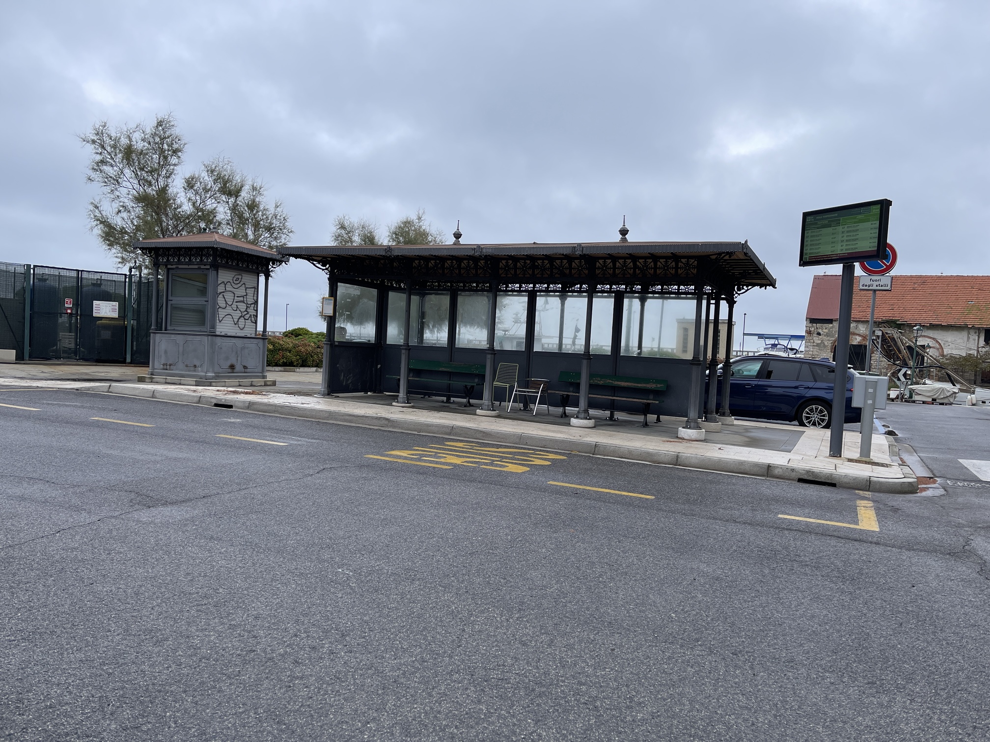
Neo-liberty bus stop gazebo
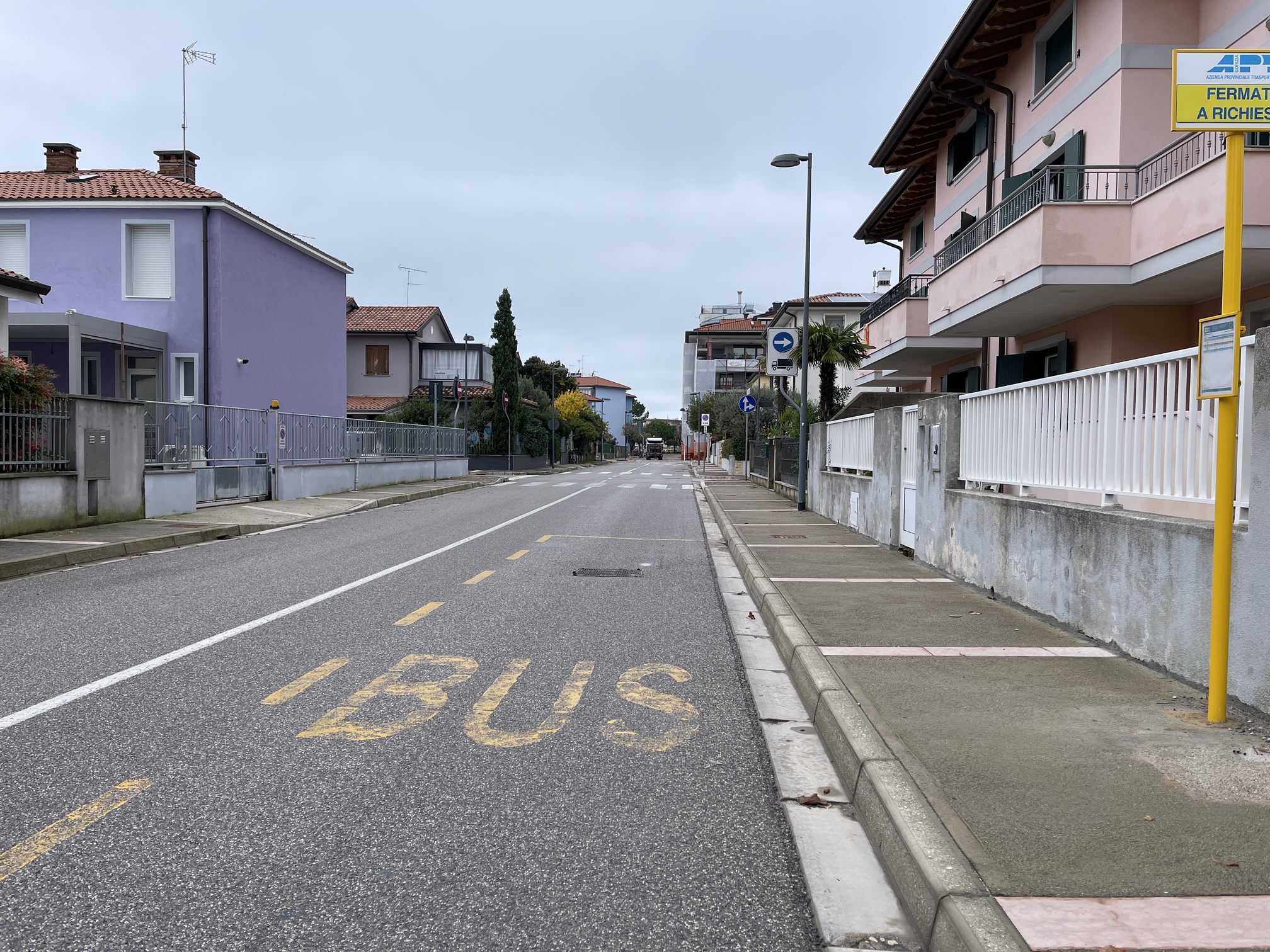
Via Trieste - sidewalks
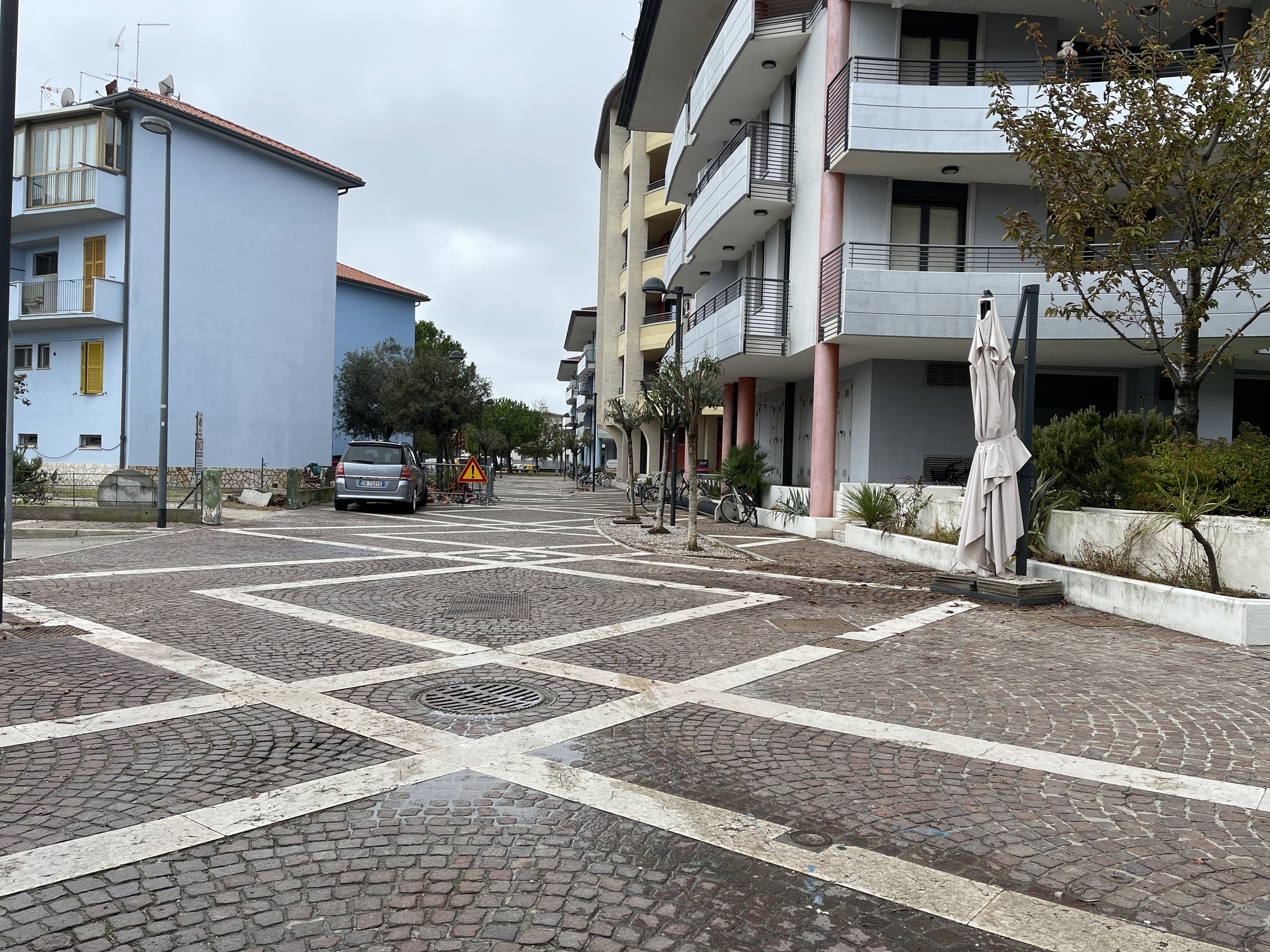
Pedestrian area
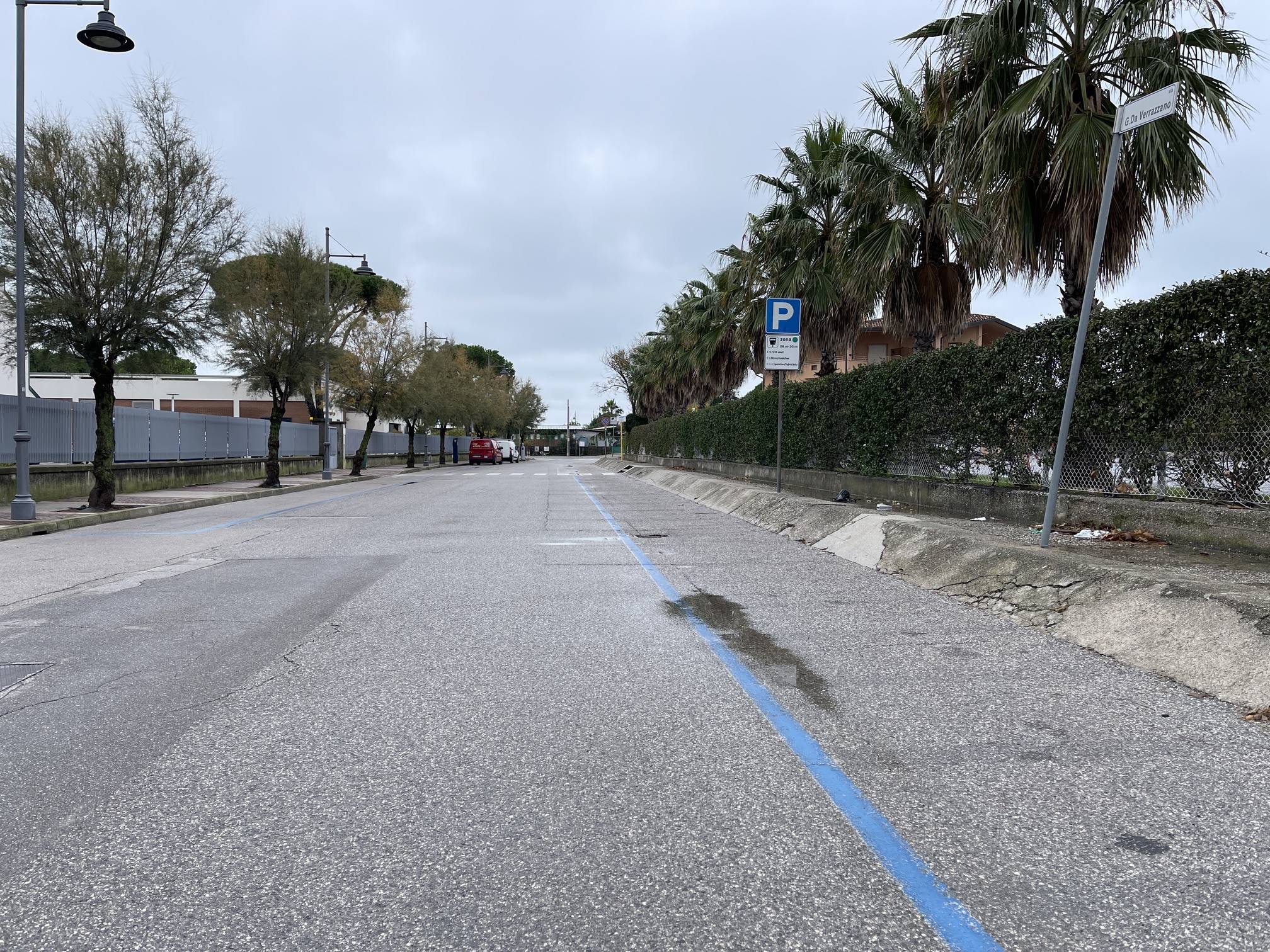
Riva Giovanni da Verrazzano
From Marina & Resort Porto San Vito, the route continues on Via Milano. The first section is one-way, with a porphyry and concrete sidewalk on one side - in continuity with that of Riva Giovanni da Verrazzano - and on the other a level pedestrian and cycling path. There are several fishbone parking spaces, including one reserved.
At the intersection with Via Zara, it is possible to access a sidewalk made of noble stone blocks and transverse porphyry strips that runs alongside the sea: this is a "belvedere" path wider than 2.5 meters equipped with lighting and benches.
For a good part of its length, the path is not protected towards the sea, but there is a containment wall towards the town that also serves as a natural guiding line. The last section of the path, from Belvedere Nazario Sauro, is instead protected by a railing. At this point (Largo della Vittoria) and at the end of the seafront section (Largo San Grisogono), there are two ramps with adequate slope connecting the seafront section with the internal pedestrian paths of the town. Along the route, however, the existing accesses consist only of stairs.
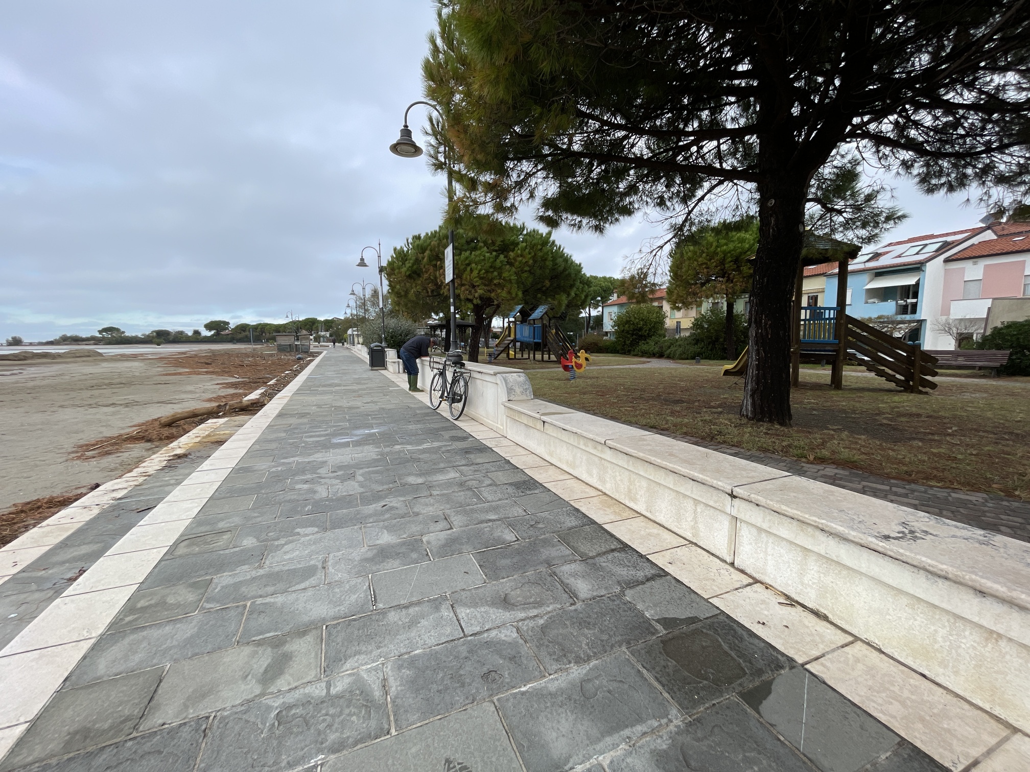
Seaside Path - 1
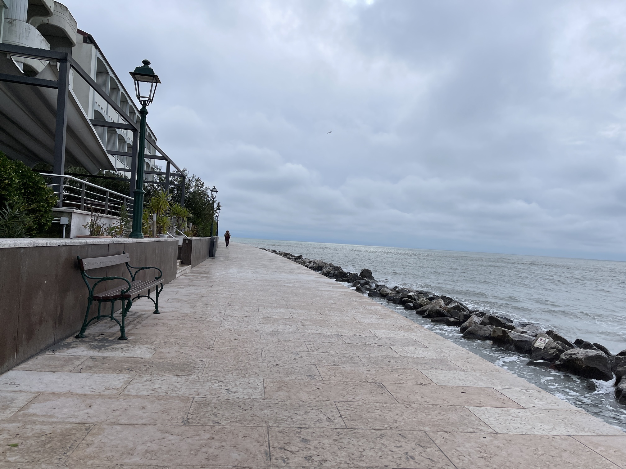
Seaside Path - 2
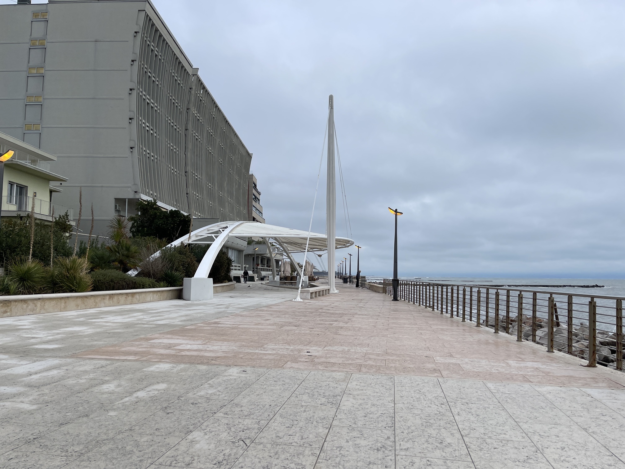
Seaside Path - section with railing
This last part of the route leaves the long beach to head towards the center of Grado. You will encounter a park with some benches and a fountain, characterized by a pavement made of porphyry cubes. Some sections made with this material are slightly uneven due to the presence of protruding roots.
The route continues on Via Marina, a pedestrian area with hotels and accommodation facilities on both sides; the pavement è is made of gray stone slabs. Turning left, you proceed along Via Orseolo II until you reach the dock. The ground material is always the same and is well maintained. Along these sections, there are some benches and bike racks.
The route concludes at the dock at the intersection with Via Francesco Morosini. You can reach the starting point by crossing the road.
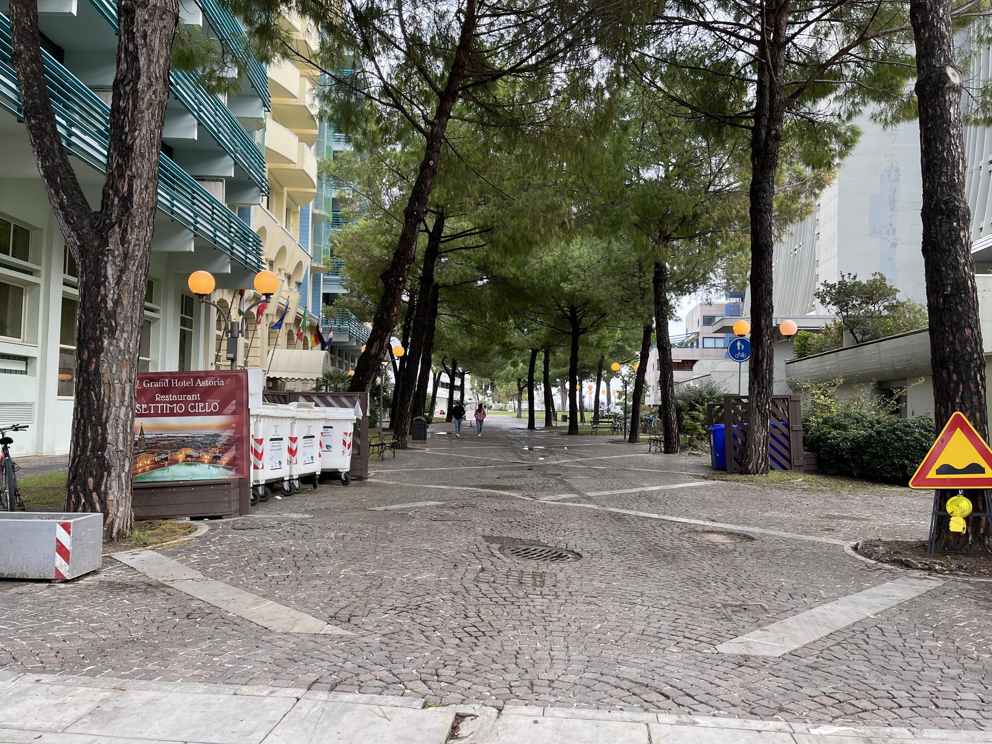
Largo San Grisogono
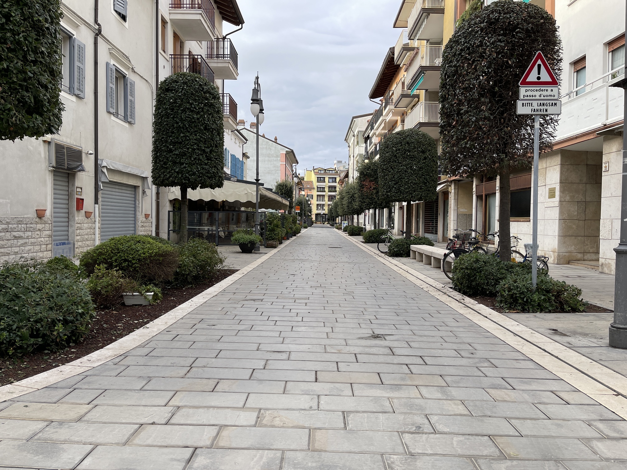
Via Marina
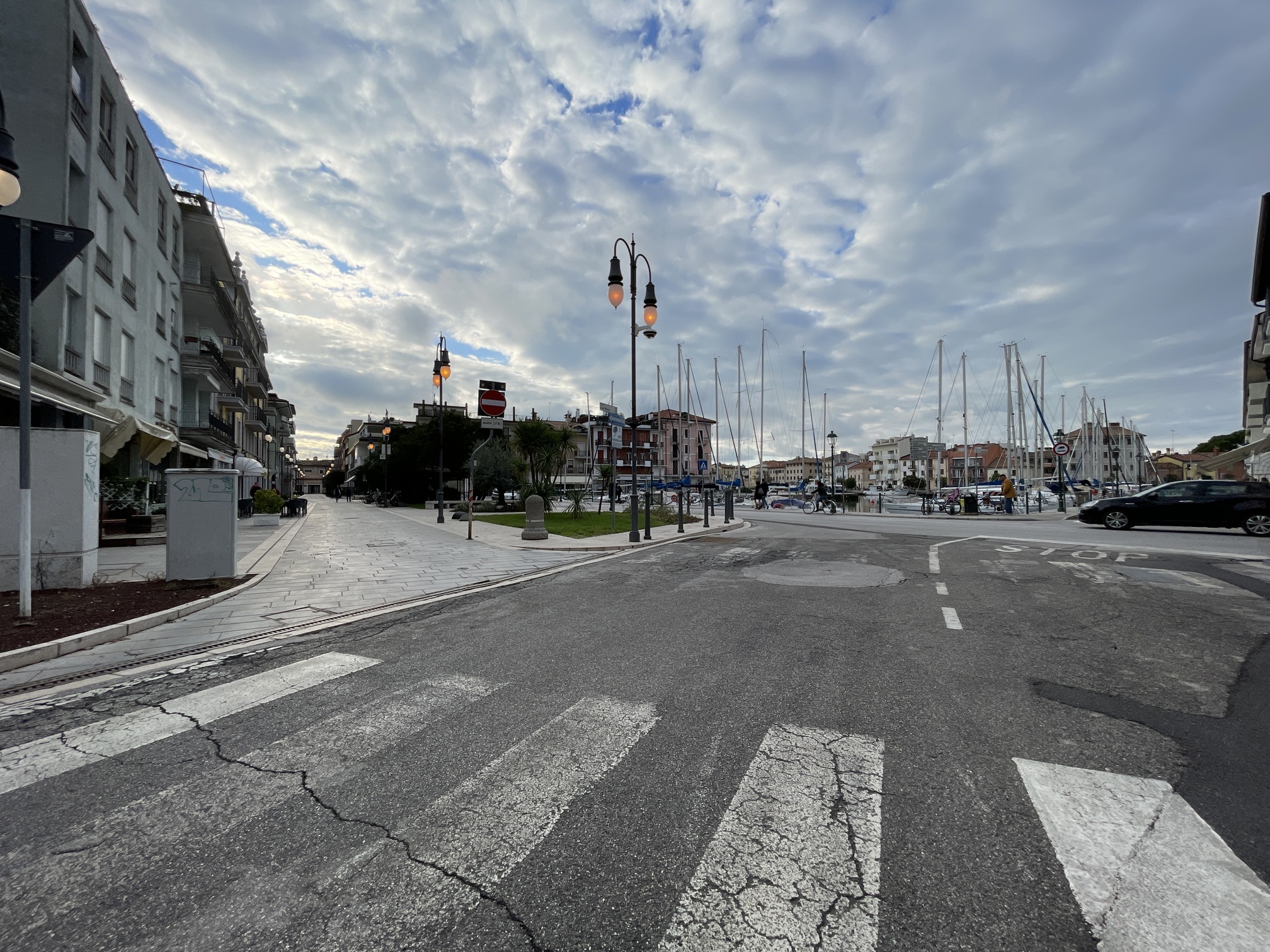
End of the route
2.5
/3
1.5
/3
2.2
/3
1.8
/3
2.0
/3
2.3
/3
2.0
/3
2.2
/3
2.2
/3
1.7
/3
2.1
/3
2.0
/3
2.0
/3
0.2
/3
2.2
/3
1.4
/3
2.8
/3
2.2
/3
2.6
/3
2.2
/3
2.8
/3
2.7
/3
2.1
/3
1.8
/3
2.5
/3
3
/3
2.8
/3
3
/3
2.2
/3
3
/3
2.7
/3
1.9
/3
2.8
/3
2.9
/3
2.6
/3
2.5
/3
2.2
/3