Zoppola - FVG in motion 10 thousand steps of health

Plain
GENERAL INFORMATION
LAST INSPECTION DATE
25/03/2024
PLANNED ITINERARY
Zoppola - FVG in motion 10 thousand steps of health
LENGTH
4200 meters
DEPARTURE
Via Leonardo da Vinci
The route begins on via Leonardo da Vinci, where there are numerous public buildings such as the Auditorium and the Library, and near a large parking lot, there is the explanatory sign of the 10,000 steps of Health FVG (photo 1, 2).
There are no indicator signs for the route, so reference is made to the map.
You cross the provincial road (via Giardini), which lacks an adequate pedestrian crossing (photo 3), and continue on the road in front (via Monti) where we find the first sign (Photo 4).
The road is without a sidewalk (Photo 5) but has very low traffic frequency.
Near a slight left curve, there is another indicator sign for the route (Photo 6).
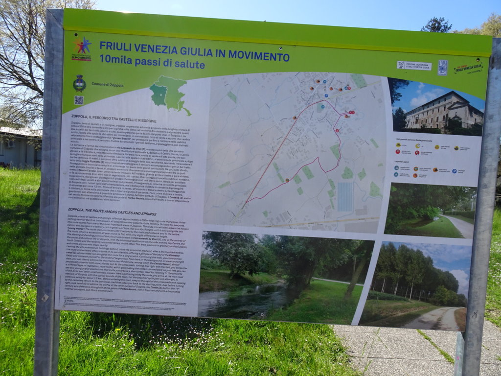
Photo 1 - Information board of the route
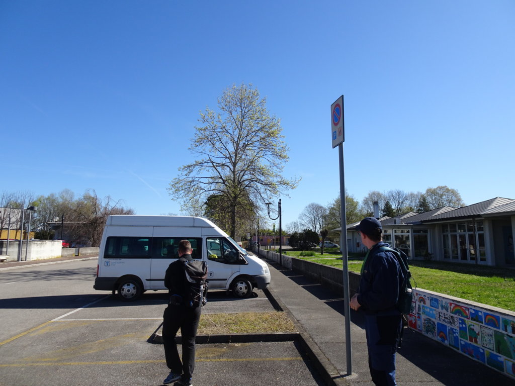
Photo 2 - Start of the route, parking on Leonardo da Vinci street
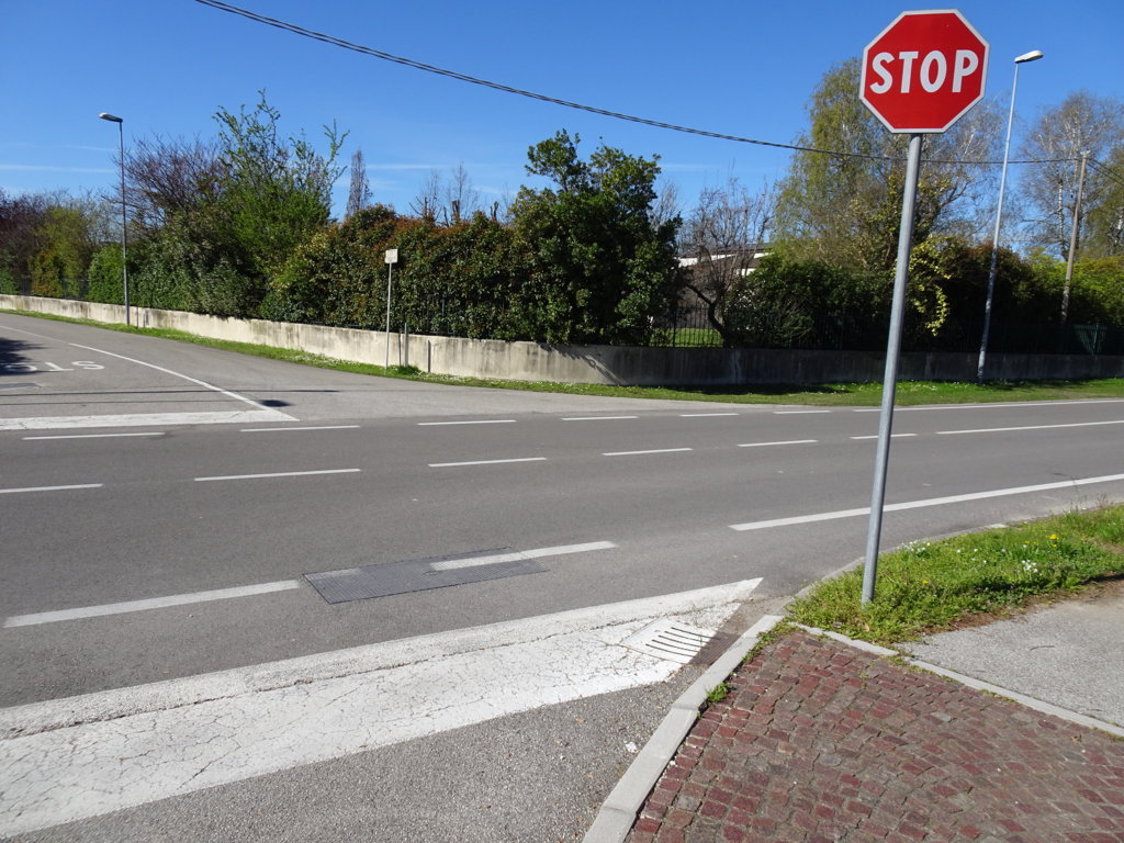
Photo 3 - Giardini street, without pedestrian crossings
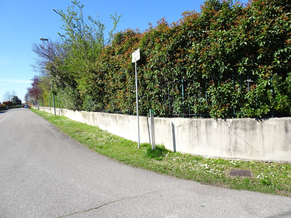
Photo 4 - Paved road via Monti, first route indicator sign
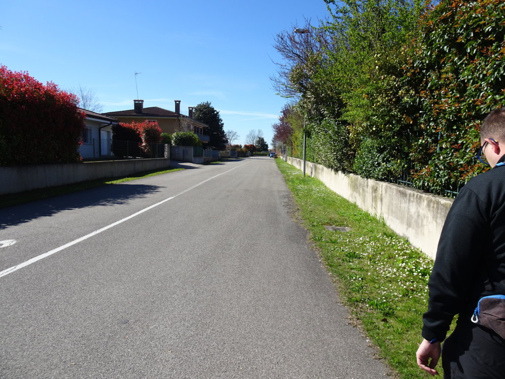
Photo 5 - Paved road without sidewalk but with very low traffic frequency
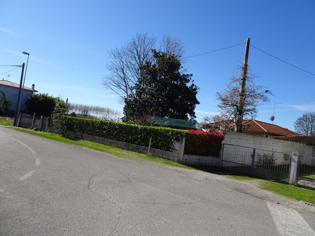
Photo 6 - Second route indicator sign at the curve
After a few meters, on the left, you can see the canal “Fiumetto” well described in the explanatory sign (photo 7).
You leave the houses behind to enter the fields.
After about 400 m from the start, you leave the paved road and continue on a comfortable dirt road (Photo 8).
After walking a few meters, you encounter and follow the canal again.
You continue the route in a rural setting, where there is a poplar grove in the distance and many trees both on the bank of the canal and along the sides of the road (Photo 9).
After 580 m from the start, the indicator sign (Photo 10) indicates to turn right.
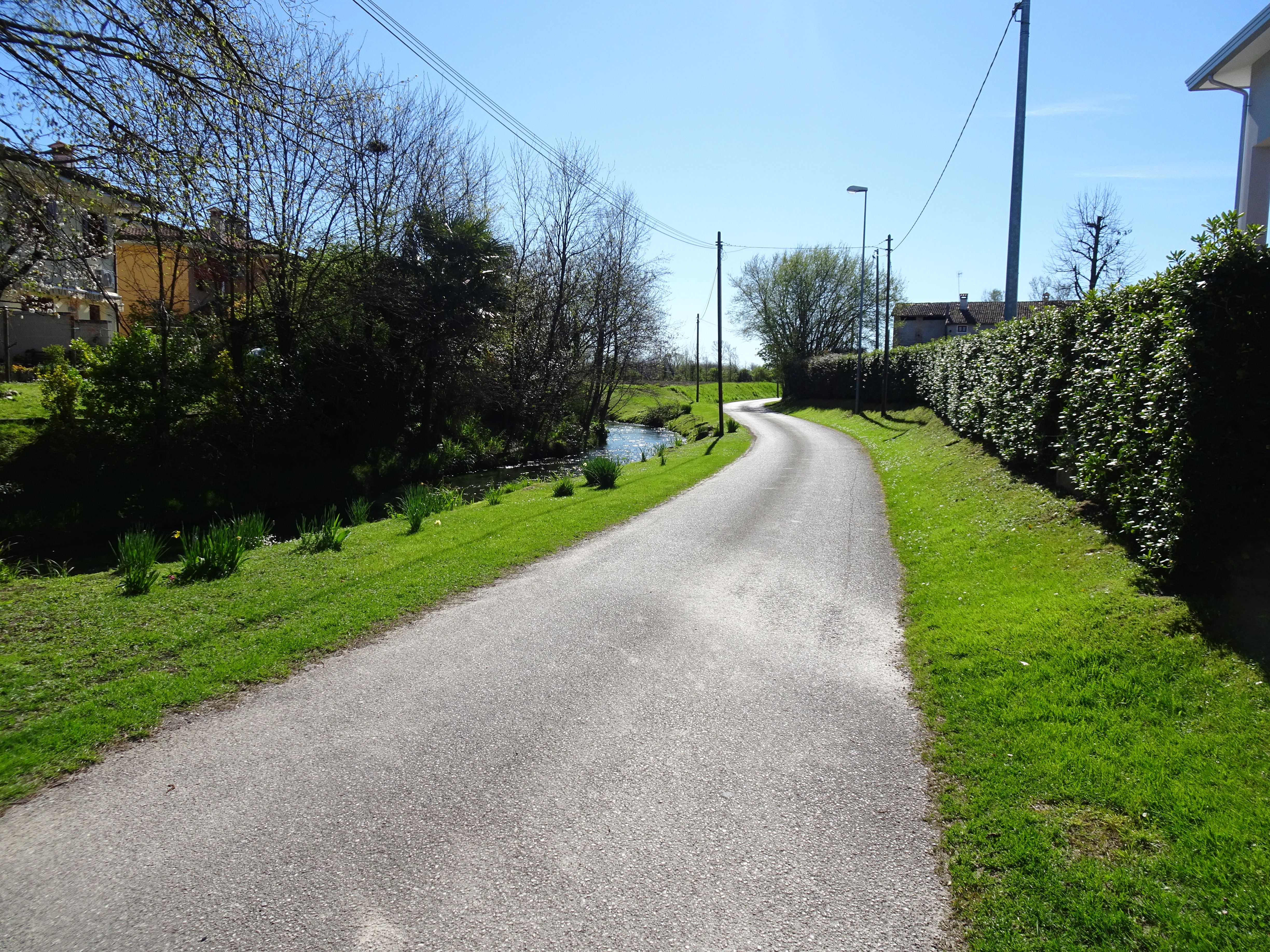
Photo 7 - Roggia “Fiumetto” alongside the path

Photo 8 - End of the paved road, beginning of the dirt road
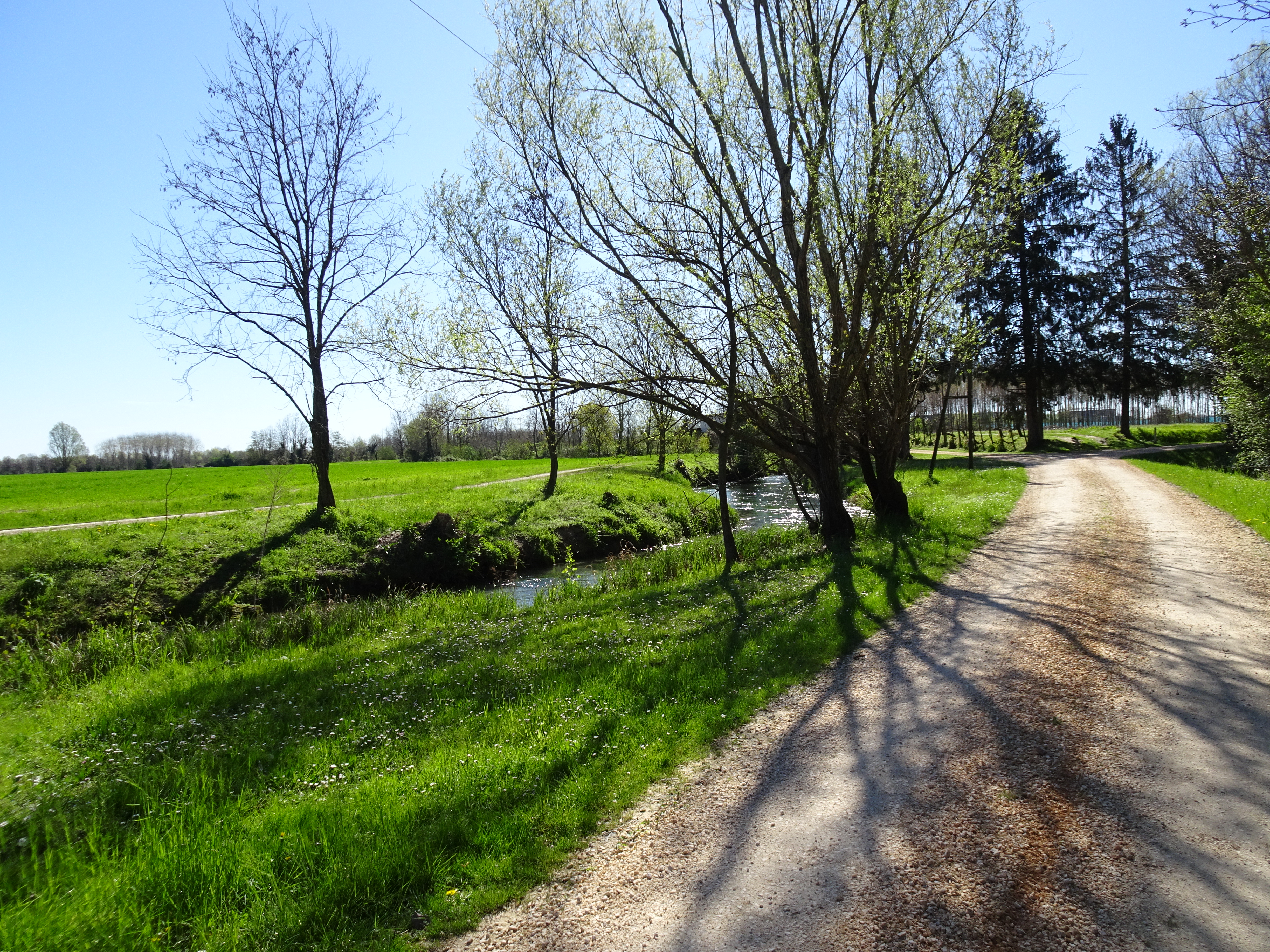
Photo 9 - Path in a rural context, with trees on the sides
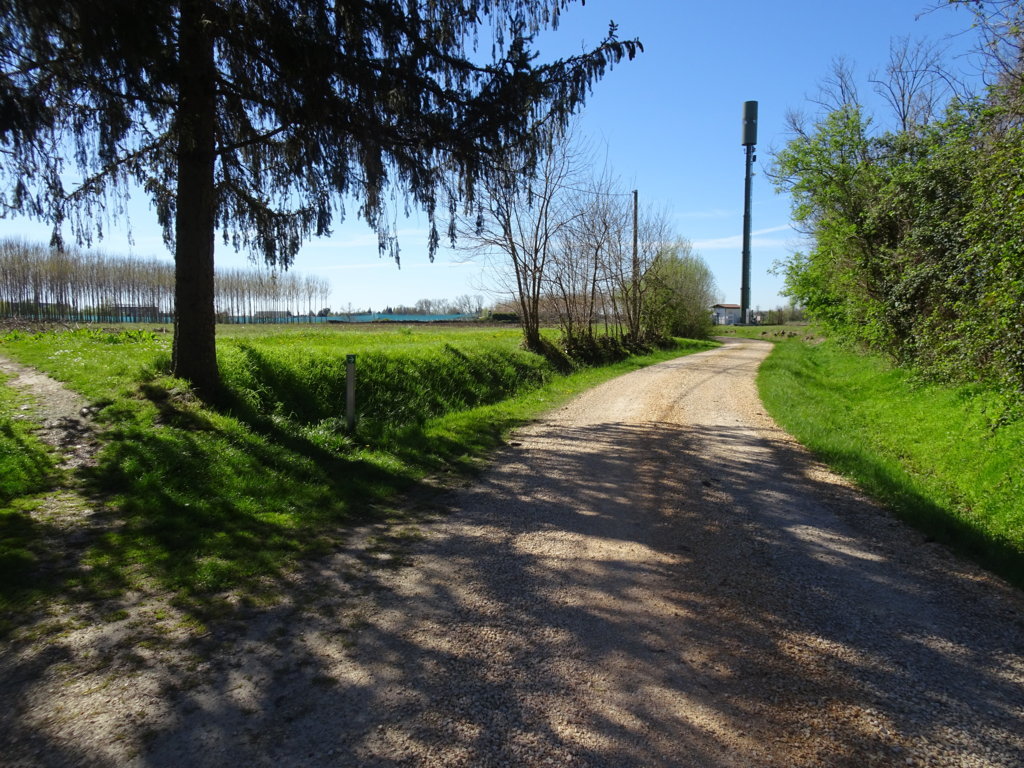
Photo 10 - Directional sign of the path indicates to continue to the right
After about 800 m, we reach an intersection where a clear sign (Photo 11) indicates the direction to the right (sign: via della Lonca) (Photo 12-14).
The white road, now devoid of trees, stretches between the fields, and in front of us, the outline of the Cavallo mountain group is clearly visible.
The path here presents a well-trodden and orderly surface, looking well-maintained.
1 km from the start, a directional sign indicates a left turn (photos 15-16). The surface is asphalted for a few meters before becoming unpaved again.
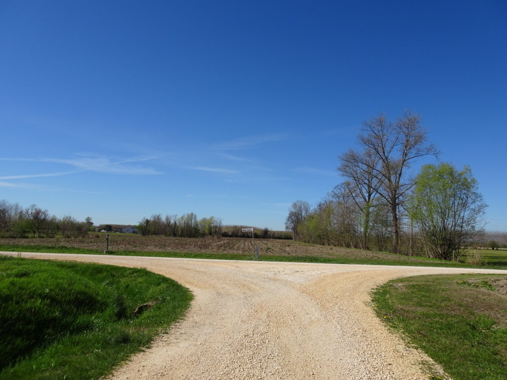
Photo 11 - Intersection, the indicator sign of the path indicates to continue right
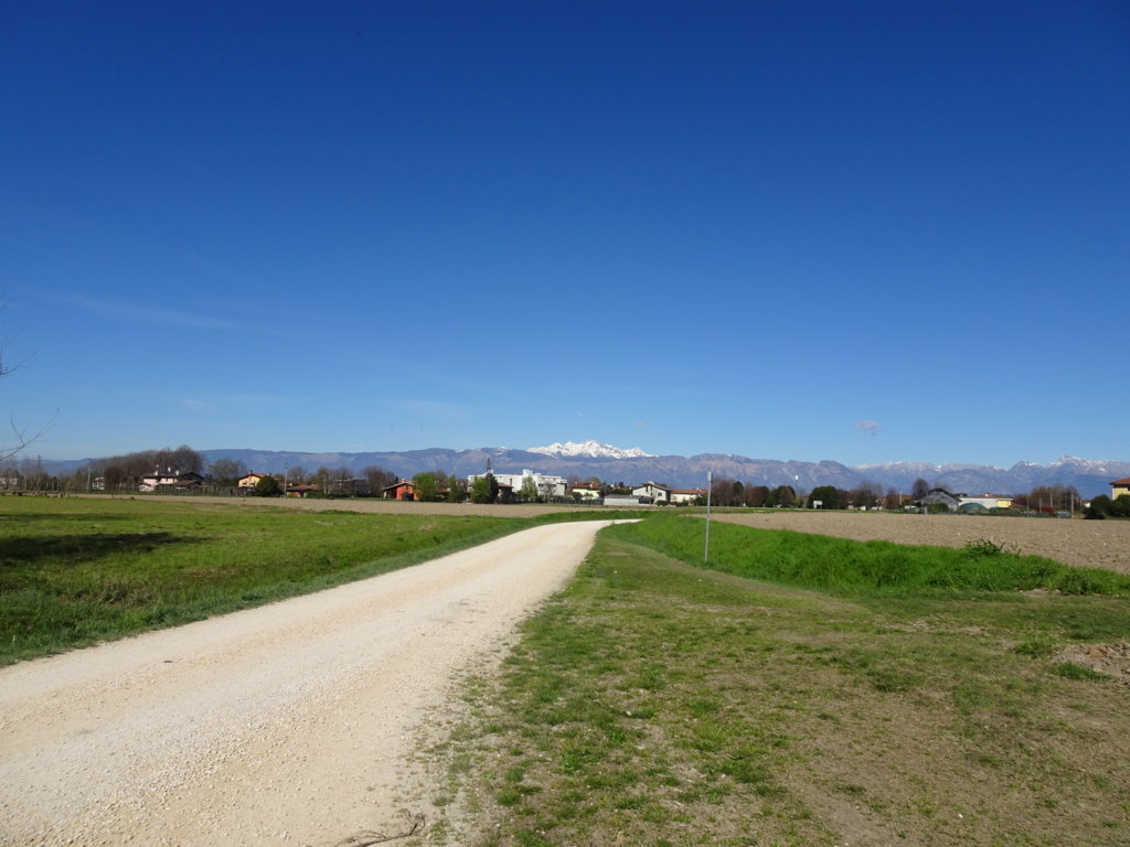
Photo 12 - Via della Lonca, dirt road
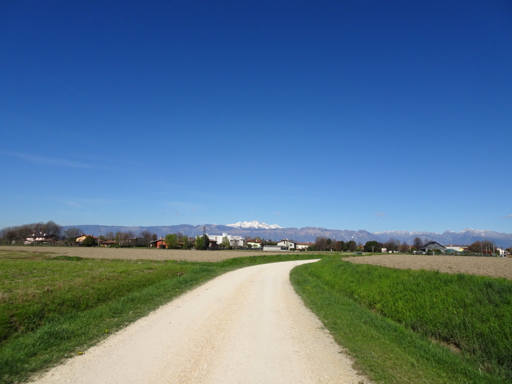
Photo 13 - Via della Lonca, dirt road
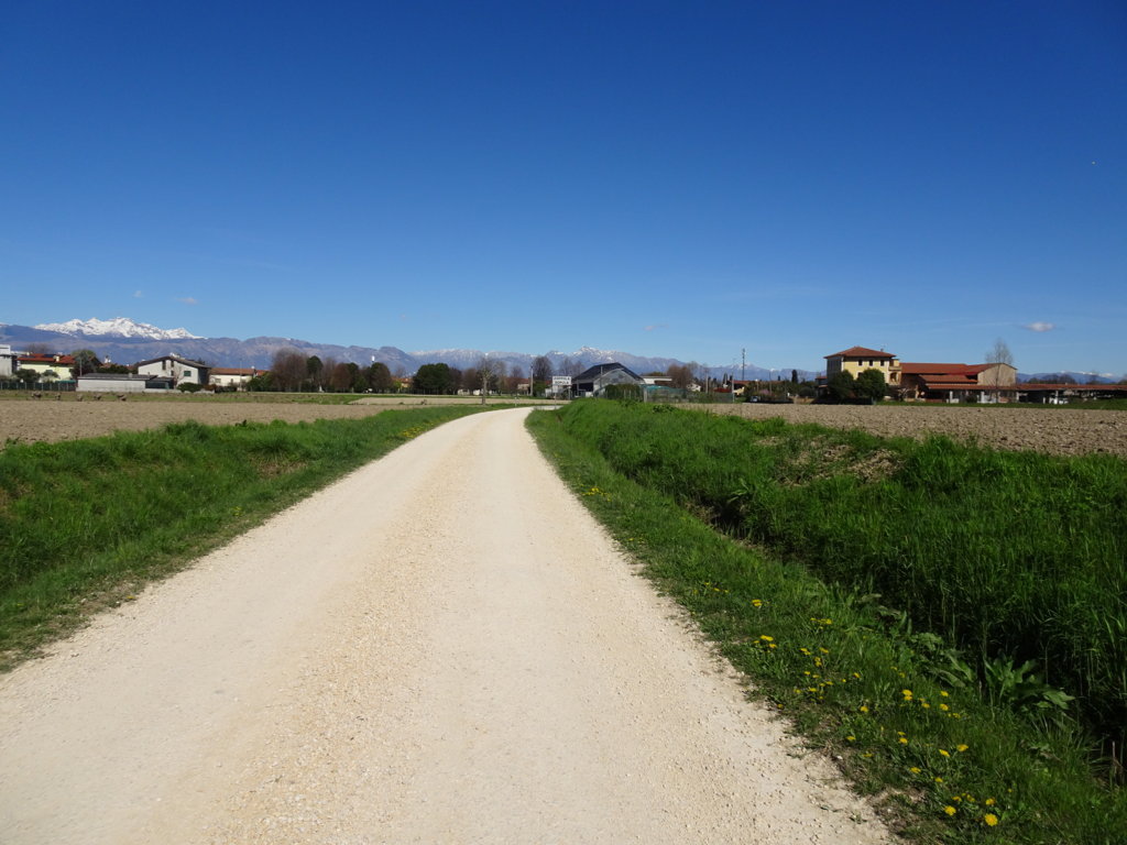
Photo 14 - Via della Lonca, dirt road
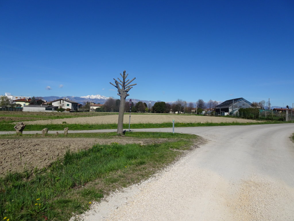
Photo 15 - At the end of Via della Lonca, the sign indicates to continue left
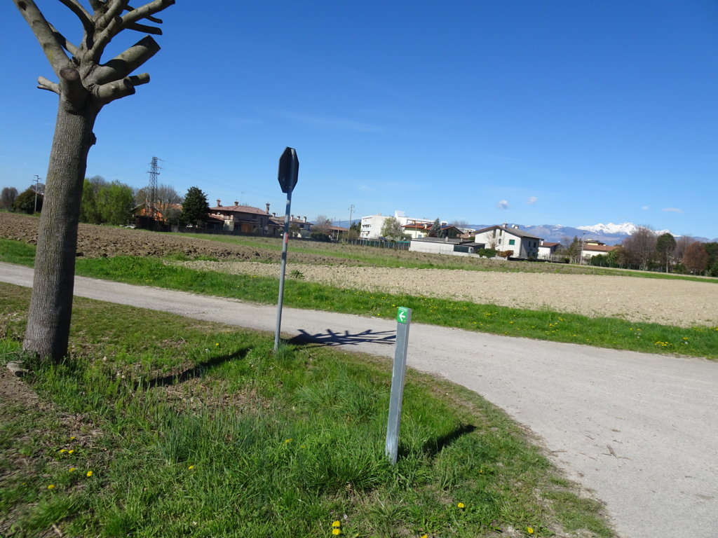
Photo 16 - At the end of Via della Lonca, the sign indicates to continue left
After about 1.5 km, you will pass a young poplar grove. You continue in an orderly rural environment (Photo 17-19).
After about 2.1 km from the start, you leave the dirt road and continue on asphalted ground.
Through a pedestrian crossing (Photo 20-22), you cross Provincial Road 6 to reach the cycle path and continue the route.
You continue for a long stretch on Provincial Road, first called via Montello (you pass the sign for loc. Cusano) and further on via Panciera (sign loc. Zoppola), remaining on the asphalted cycle path for more than 1 km.
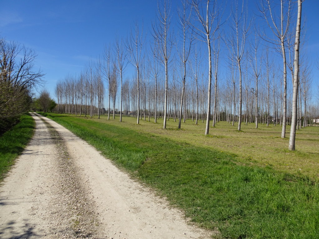
Photo 17 - Path on a dirt road next to a poplar grove
Photo 18 - Path in a rural environment with flowers

Photo 19 - Dirt path in a rural environment
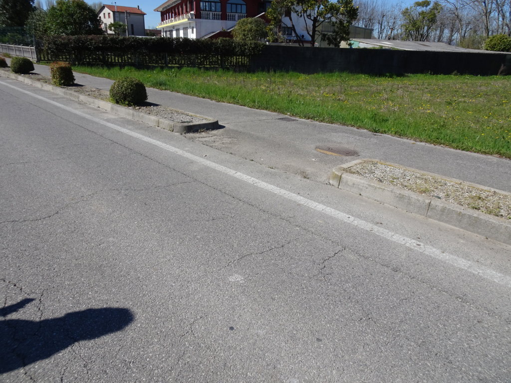
Photo 20 - Crossing Provincial Road 6
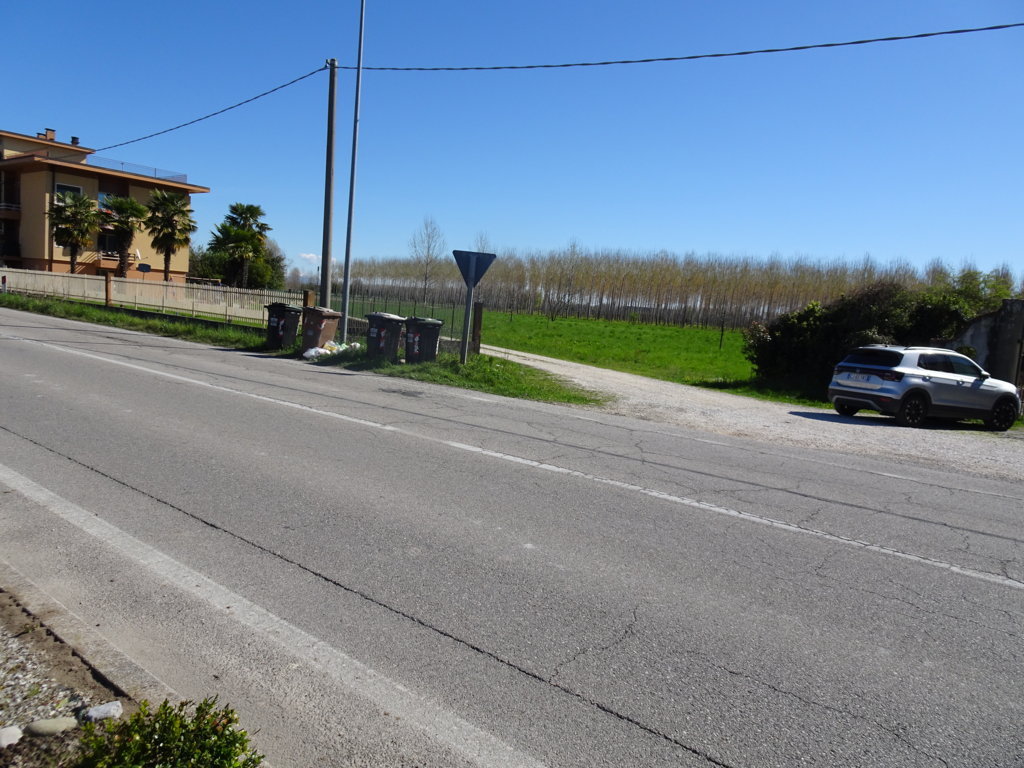
Photo 21 - Crossing Provincial Road 6
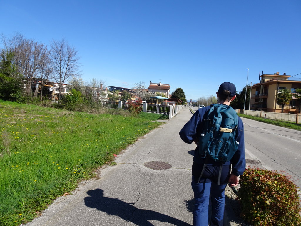
Photo 22 - Continuing on the bike path
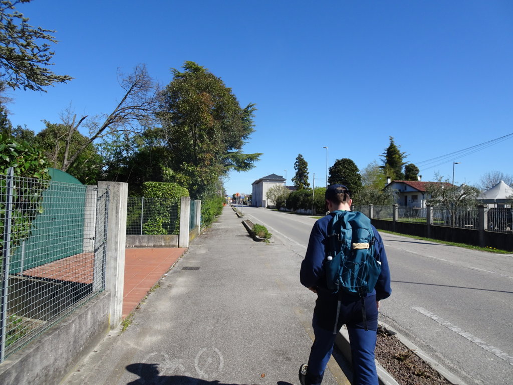
Photo 23 - The path continues on the bike path
Arriving at the junction with via Trieste, the cycle path ends (Photo 24).
Here, via Panciera bends towards the center of the village while the 10,000 steps route continues almost straight. Turning slightly left, you reach the pedestrian crossing, then you find the indication to turn right and continue on a somewhat uneven sidewalk (Photo 25) for cycling (Photo 26). After 3.5 km from the start, you arrive at via Trieste.
At the intersection with via Silvestri (Photo 27), there is a pedestrian crossing; continue straight on via Trieste (Photo 28), alongside the cemetery on the right.
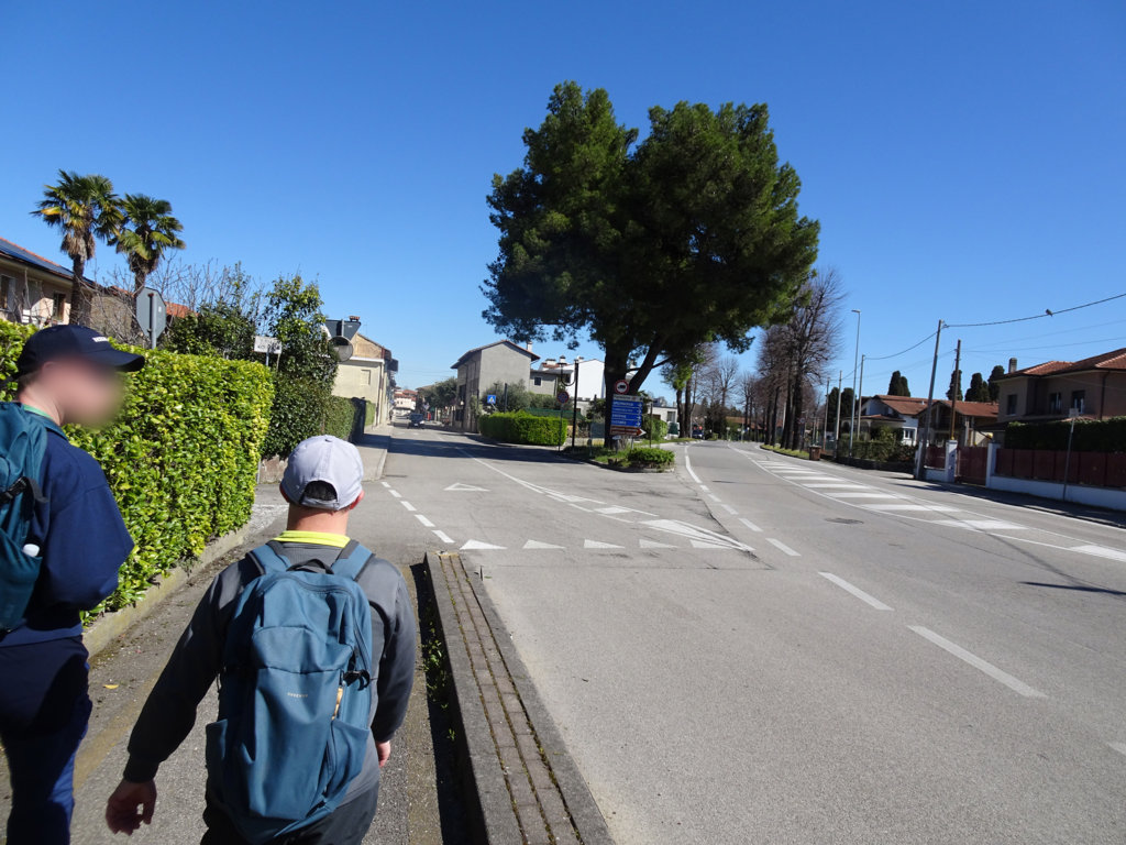
Photo 24 - Cycle path terminus at the junction with via Trieste
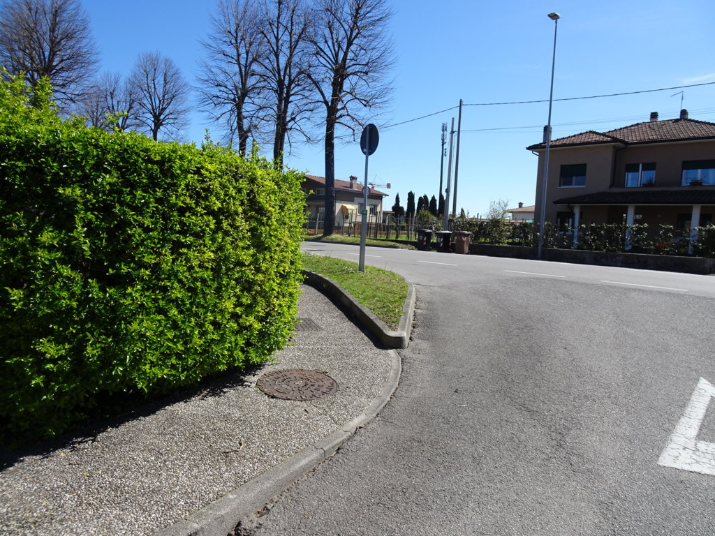
Photo 25 - The path continues on a sidewalk for cycling use
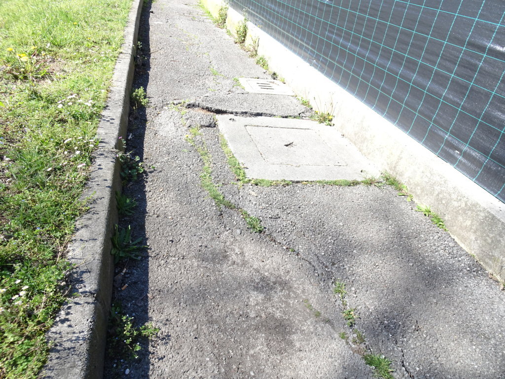
Photo 26 - Sidewalk with uneven concrete surface in places
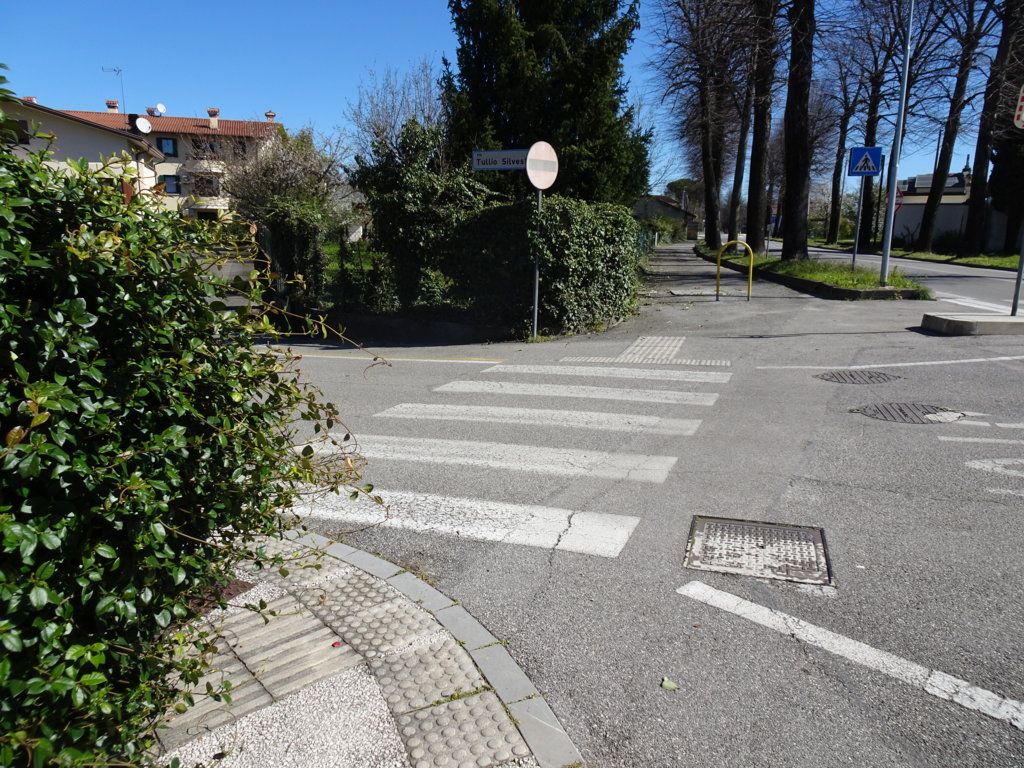
Photo 27 - Intersection with via Silvestri
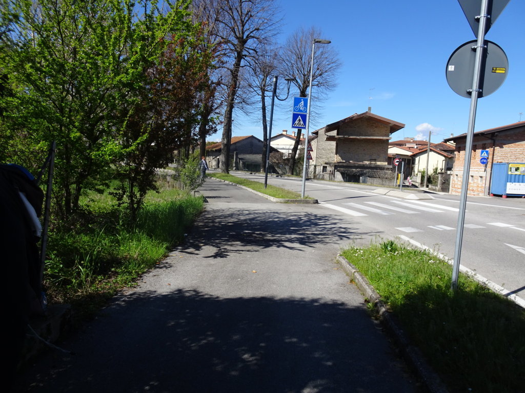
Photo 28 - Continuation on via Trieste
You reach a roundabout where there is a double pedestrian crossing (photo 29); turning right onto via Giardini there is a sign for the municipal auditorium.
The long road moves away from the center to reach the school area and finally the starting point at the Auditorium. It is necessary to cross pedestrian crossings without ramps but with a low curb (Photos 31-33).
The route of about 4.2 km ends near the parking lot of the Auditorium (Photo 34).
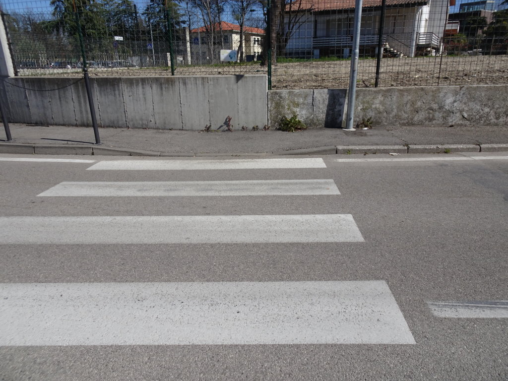
Photo 29 - Roundabout with pedestrian crossing
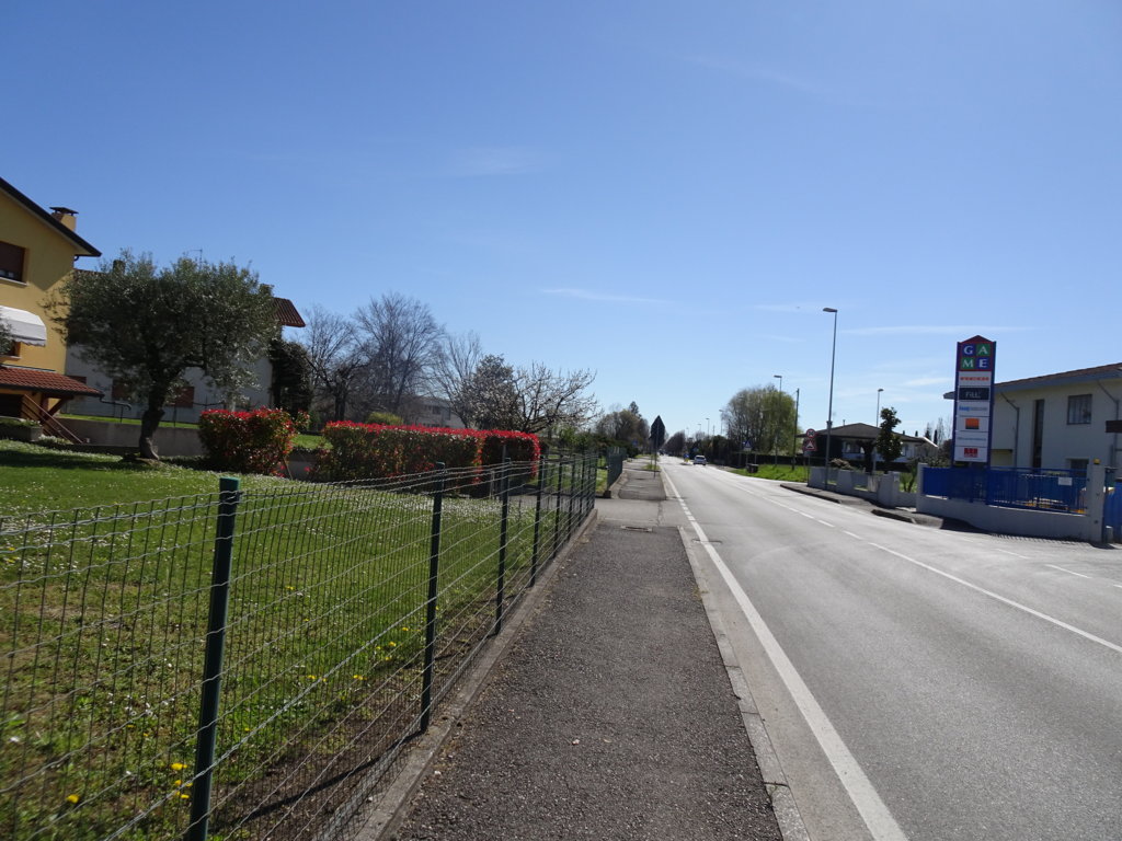
Photo 30 - Long road that leads away from the center and reaches the school area
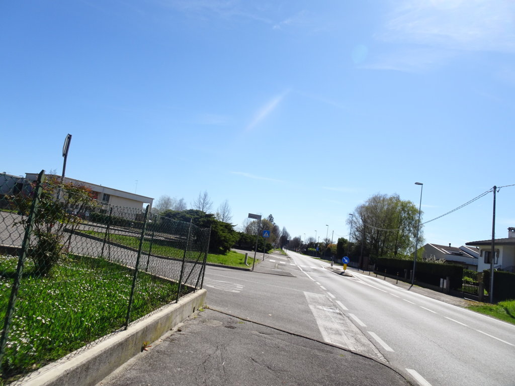
Photo 31 - Crossing without ramp but with low curb
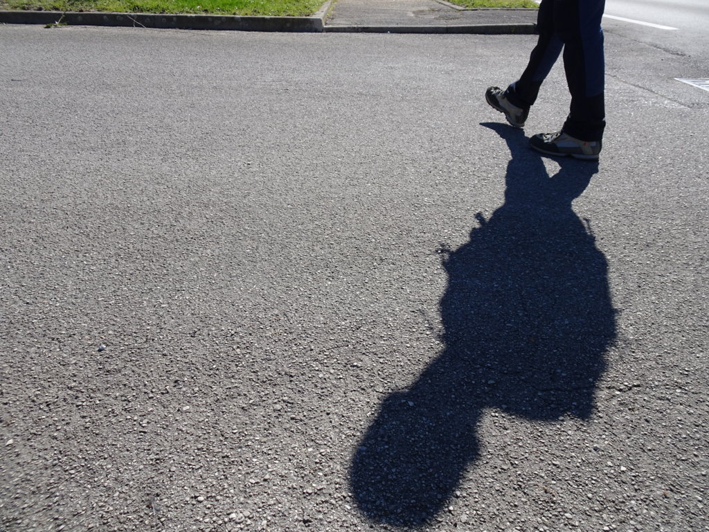
Photo 32 - Crossing without ramp but with low curb
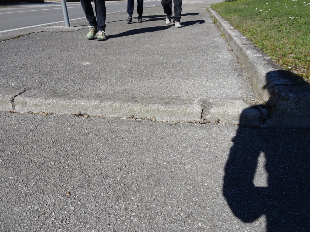
Photo 33 - Crossing without ramp but with low curb
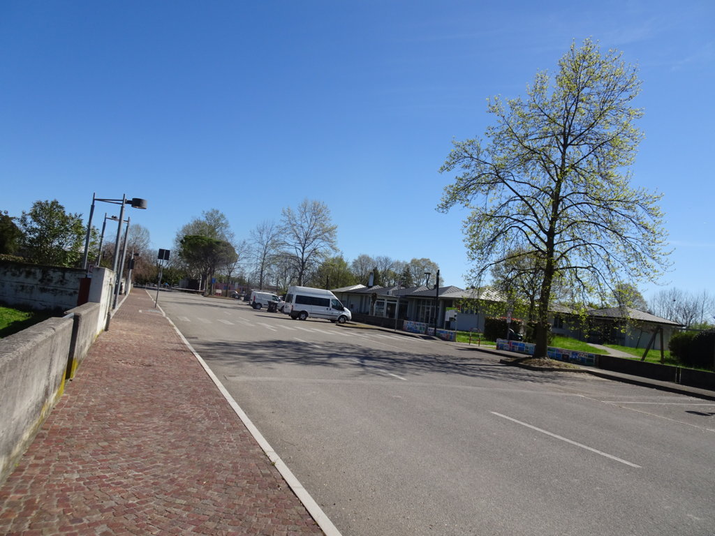
Photo 34 - Conclusion of the path at the Auditorium parking lot