Ruda - FVG in motion 10 thousand steps of health

Plain
GENERAL INFORMATION
LAST INSPECTION DATE
19/02/2023
PLANNED ITINERARY
Ruda - FVG in motion 10 thousand steps of health
LENGTH
9500 meters
The path begins near the parking area, located on via Gorizia close to the main square of the village, which is overlooked by the Town Hall, the Church, and the Recreation Center “Don Valeriano Lepre”.
The parking area has thirteen stalls oriented “in a fishbone pattern”. There are no parking spaces reserved for people with disabilities (Photo 1).
Near the parking area, there is an information panel with directions for the path (Photo 2).
After the short asphalted section of the parking lot, the path continues on a dirt road (Strada Clipigna), about 2 meters wide (Photo 3), whose surface is fairly even and solid; however, there is a possibility that, in case of rain, puddles may form (Photo 4-5).
After about 500 m, at the first fork, the correct direction is indicated by a sign made of laminated paper, fixed to a tree trunk and partially hidden by vegetation (Photo 6).
Continuing along the route suggested by the sign, the path continues on a dirt road. Puddles may form during rainy periods.
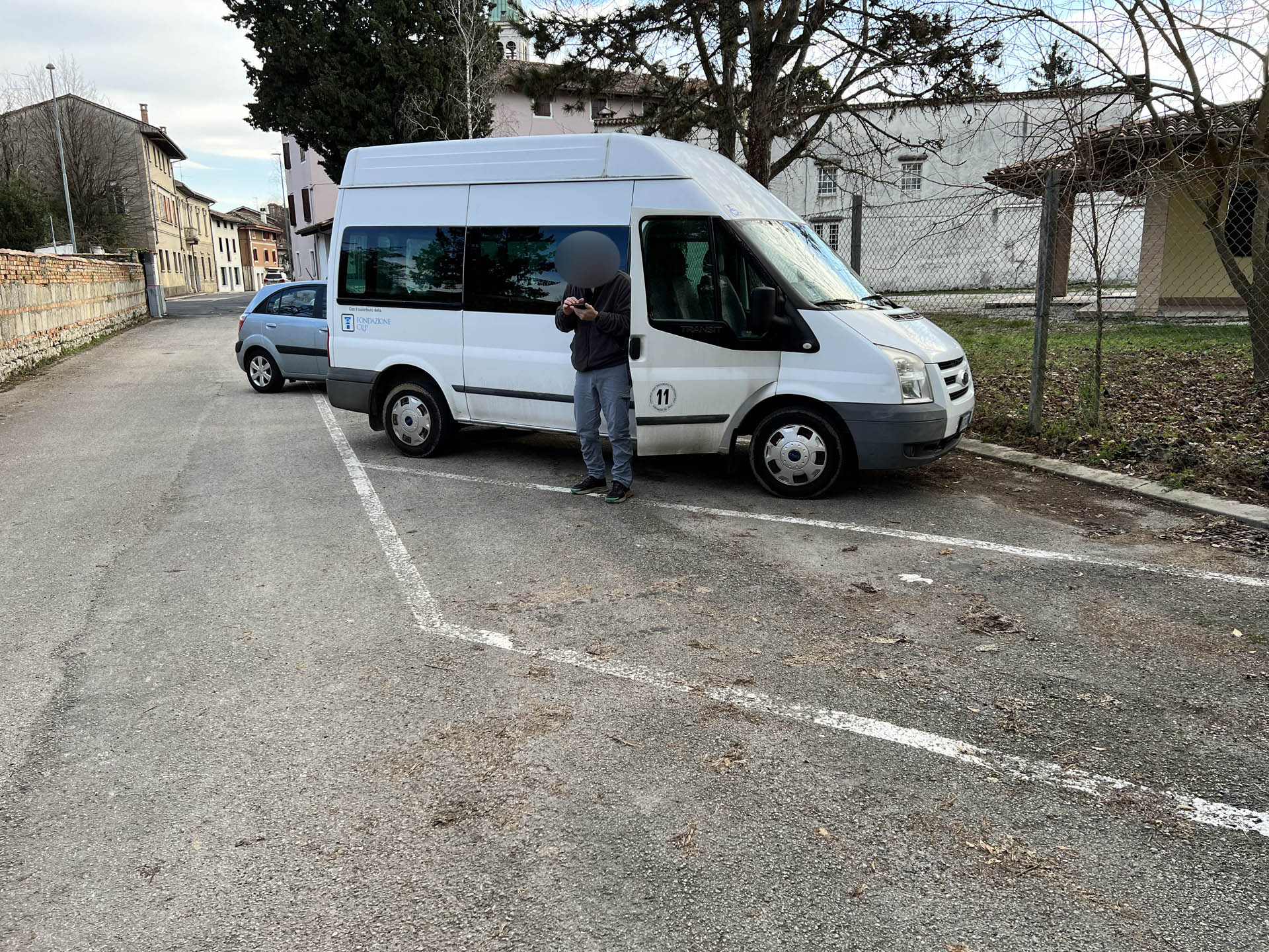
Photo 1 - Parking area without reserved spaces for disabled people
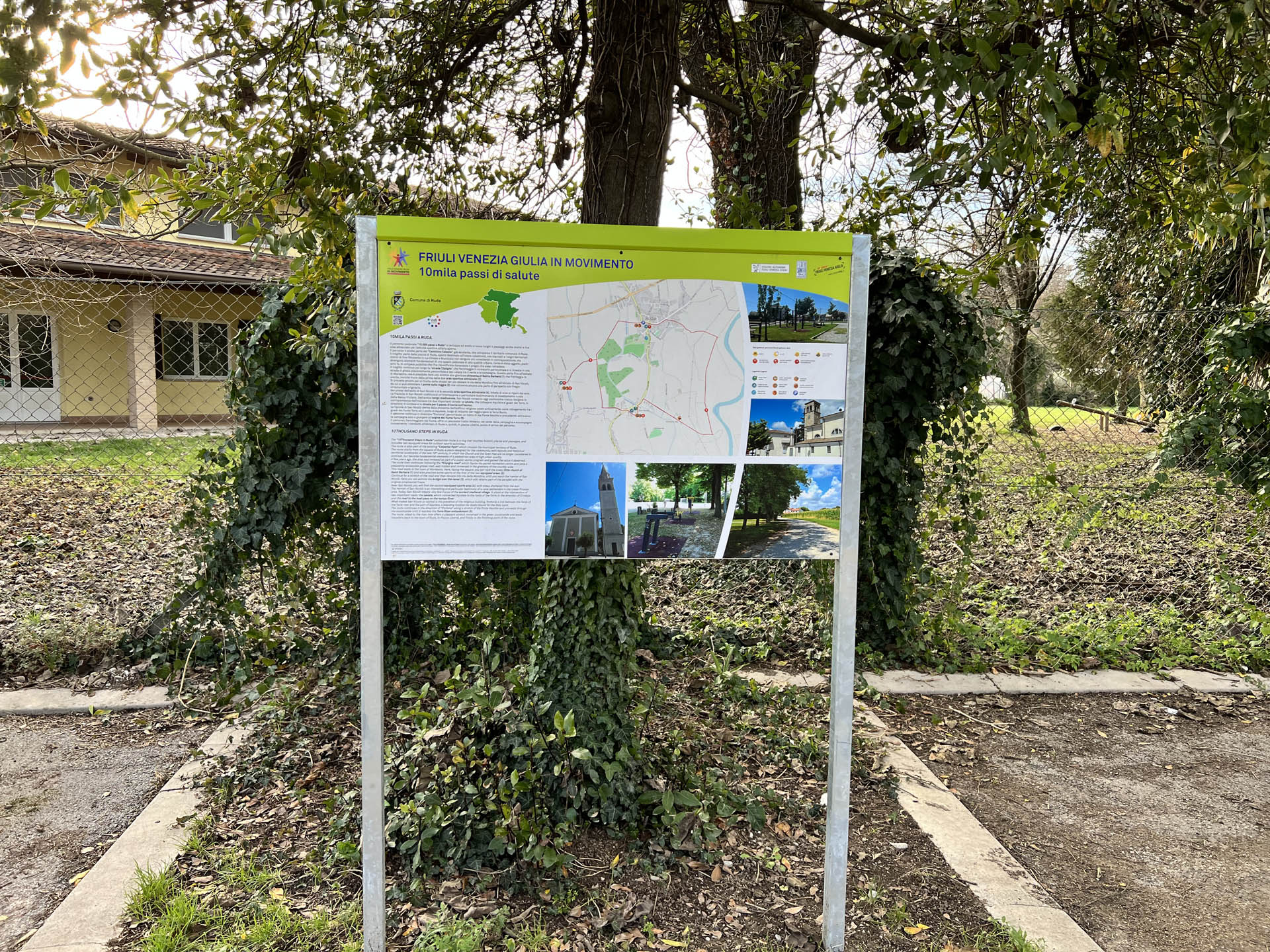
Photo 2 - Information panel
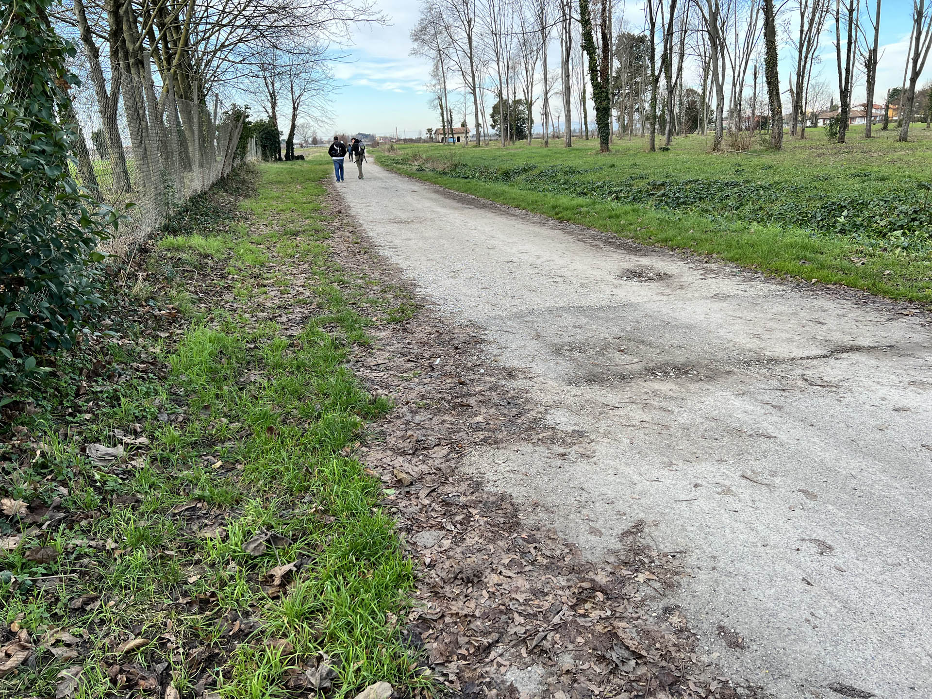
Photo 3 - Beginning of dirt road
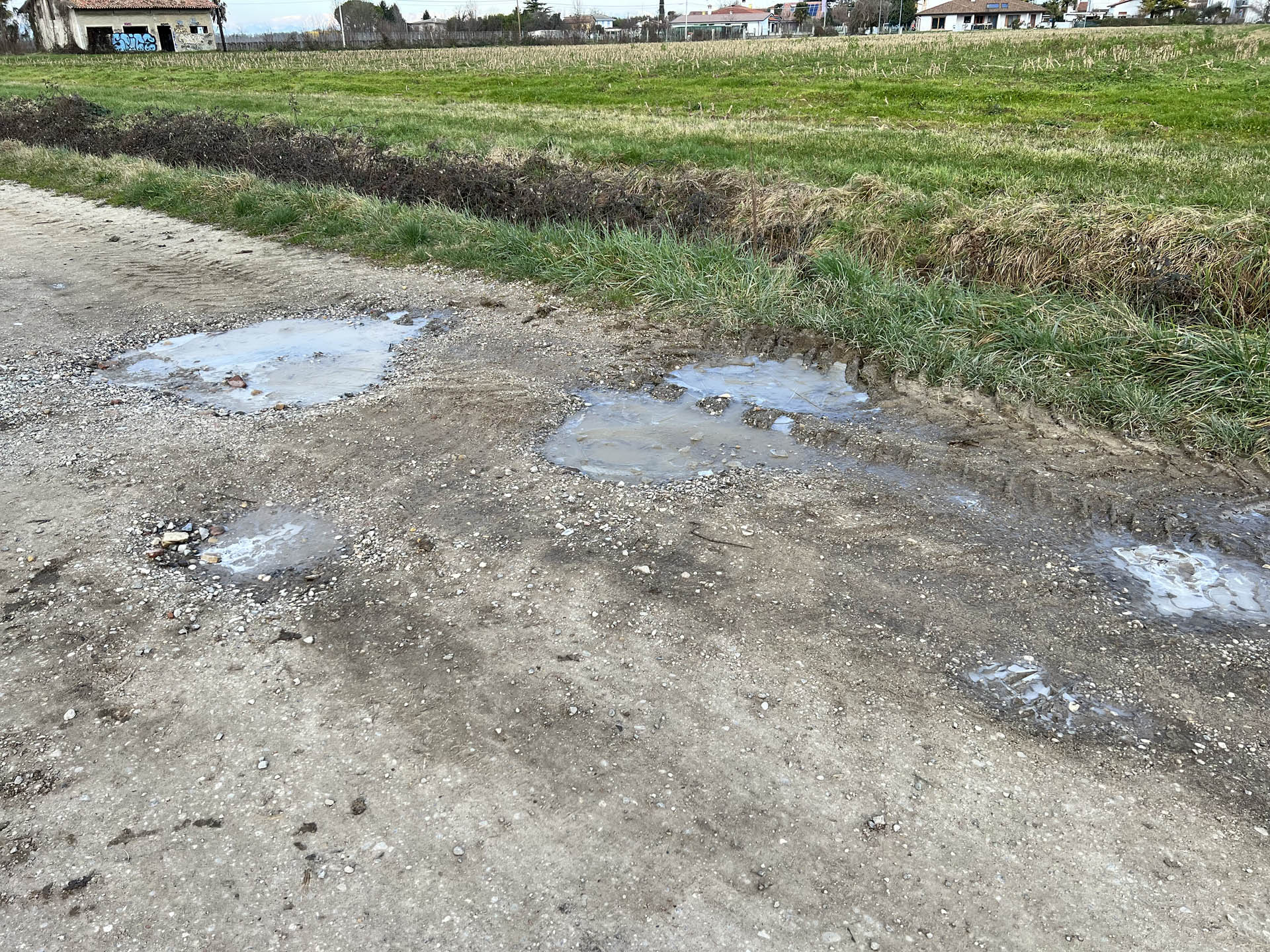
Photo 4 - Uneven dirt section
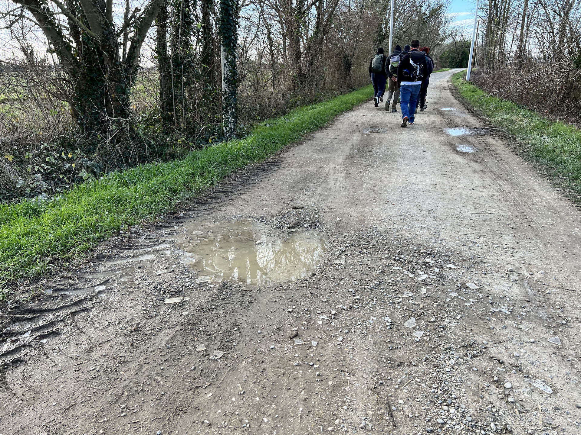
Photo 5 - Uneven dirt section
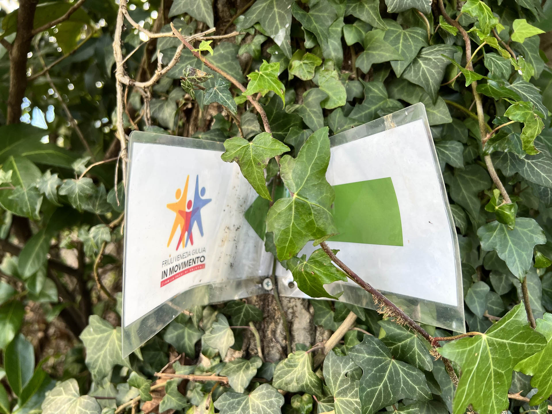
Photo 6 - Direction sign partially hidden by vegetation
After about 800 m, you reach a second fork where the ground is gravelly (Photo 7). From this point, you can choose to take an optional route that allows for a visit to the hamlet of Mortesins. The directions are given by signs representing a directional arrow on laminated paper placed on existing elements. (Photo 8-9)
Continuing towards the optional route, there is again a dirt path with fine gravel.
As you proceed along the path, you arrive near the settlement of Mortesins; to reach the octagonal church of S. Barbara, it is necessary to overcome a stretch of dirt road via a ramp, with a slope of about 10 degrees with a coarse gravel surface (Photo 10), and then immediately enter onto an asphalt road, open to vehicular traffic (Photo 11).
The left side of the sidewalk on Via della Resistenza in Mortesins has varying widths ranging from 120 to 50 cm, interrupted by numerous driveways; on the right side of the same street, the sidewalk is absent, with the presence of green areas; on this side, there is access to an equipped area with benches, tables, and children's games. Any movement in a wheelchair occurs on the roadway.
After visiting the church of Santa Barbara, you retrace the recently described stretch towards Ruda, until you reach the fork shown on the map.
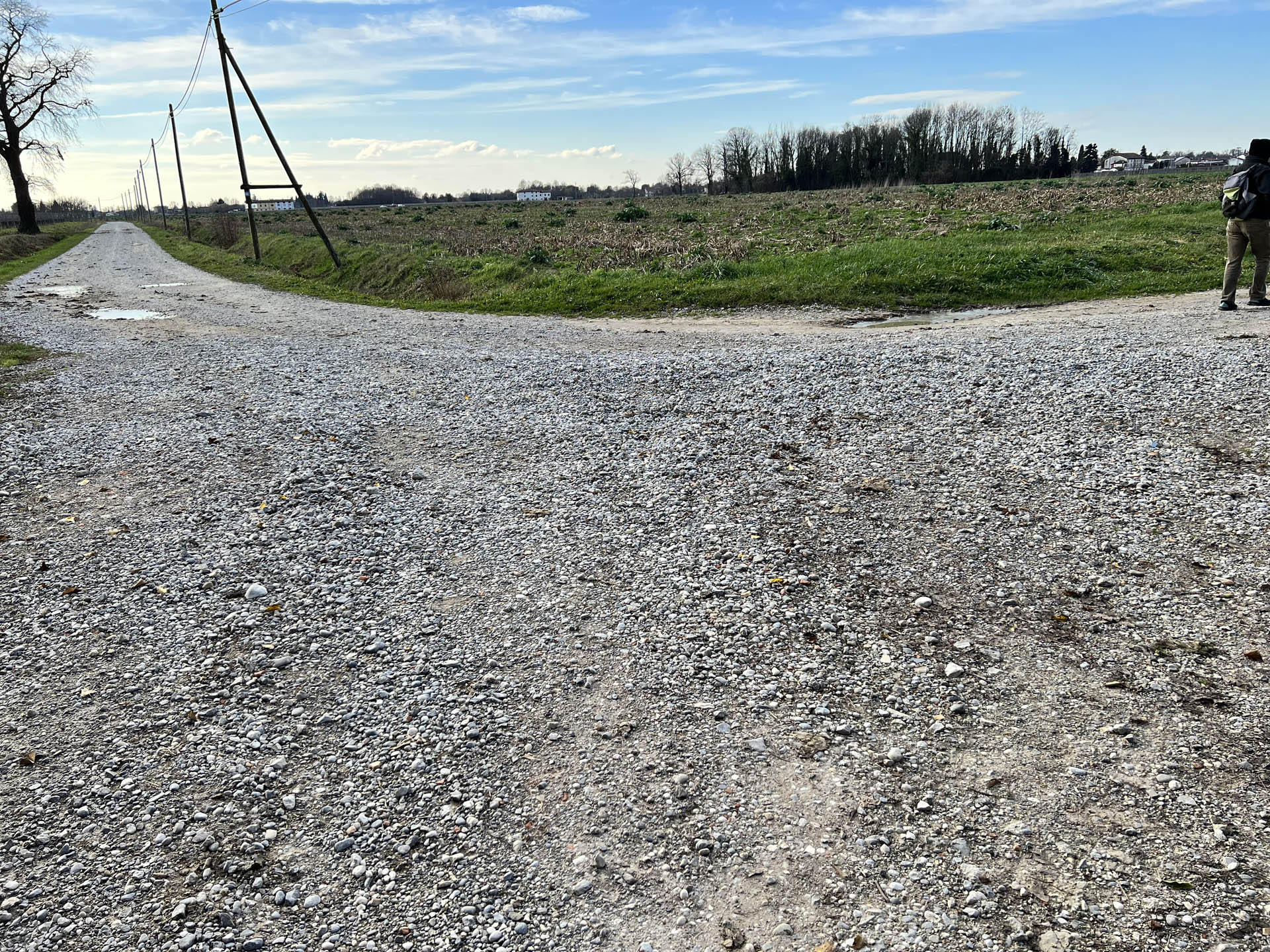
Photo 7 - Junction from which the optional path can be taken
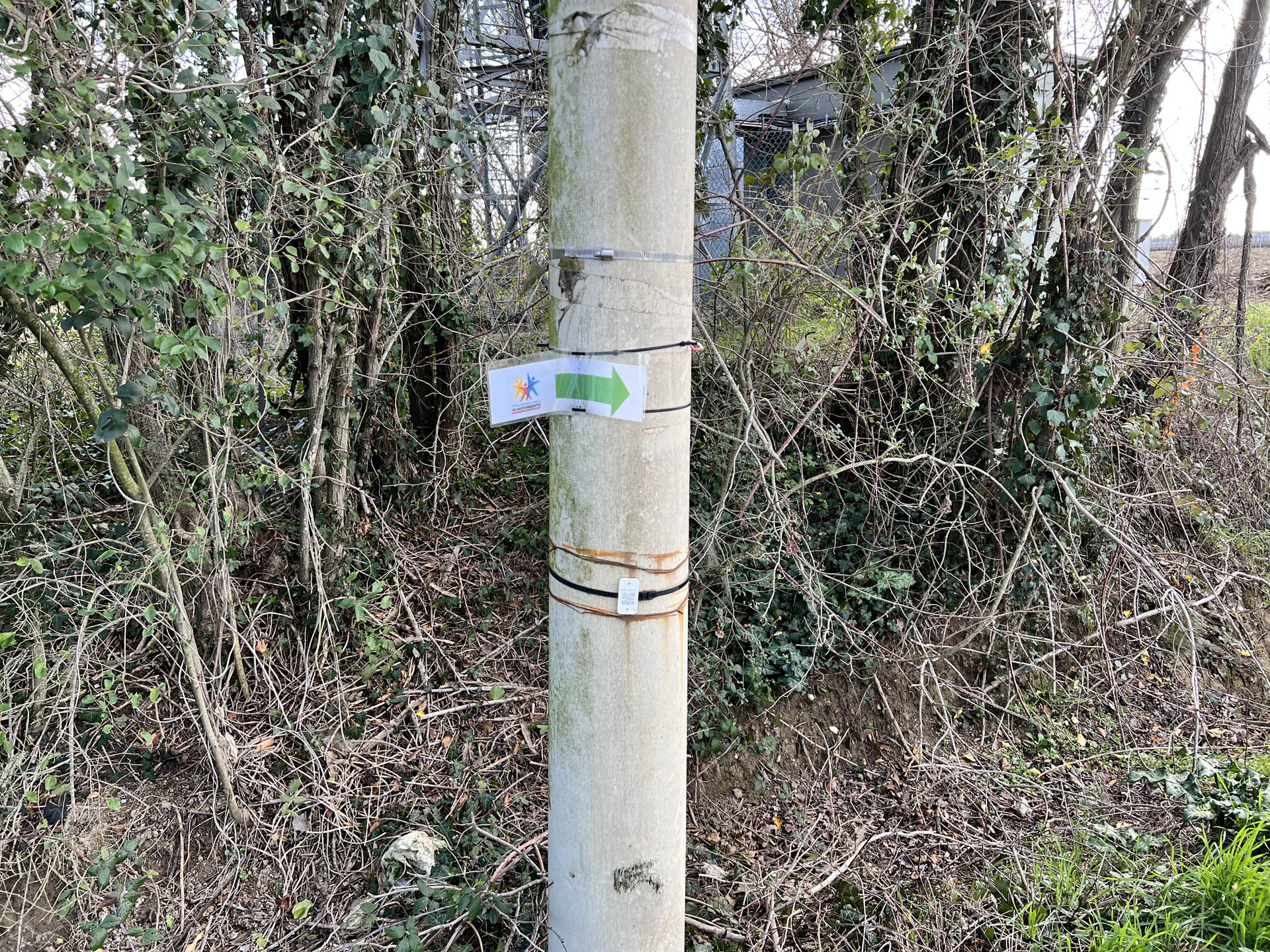
Photo 8 - Path indication sign
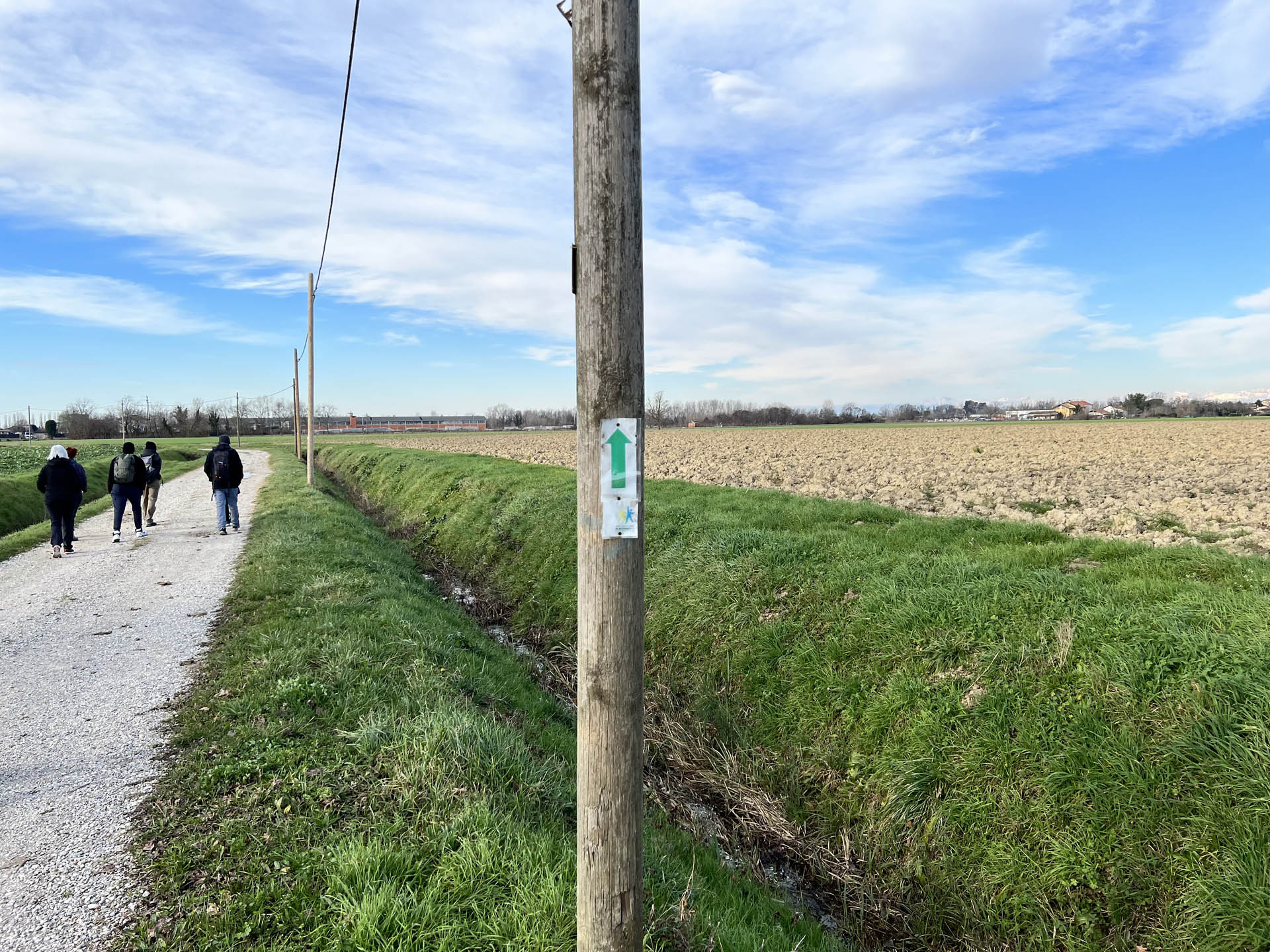
Photo 9 - Path indication sign
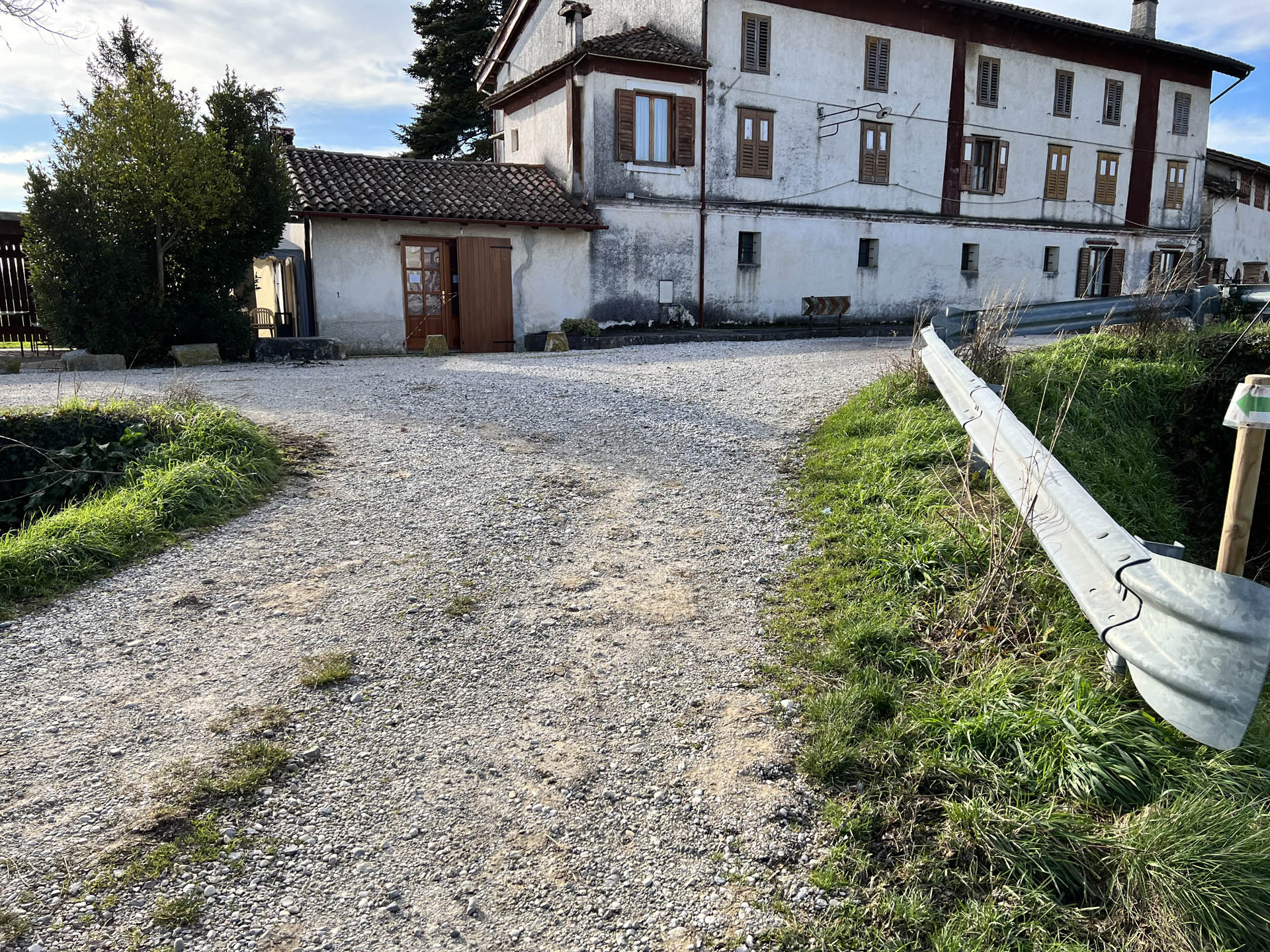
Photo 10 - Sloped path
Photo 11 - Continuation of the path on the sidewalk
The path resumes in a “loop” direction towards San Nicolò. In this section, the path is unpaved, with the presence of gravel and possible formation of puddles in case of rain (Photo 12)
After about a kilometer, the unpaved road ends and it is necessary to continue the loop on an asphalt road open to vehicular traffic; in this case, the direction indication is entrusted to a non-conventional sign fixed on a wooden pole (Photo 13). For about a hundred meters, this section must be traversed with great caution, as there are no sidewalks on either side of the road (Photo 14).
The inhabited center of the hamlet of San Nicolò is characterized by the presence of a sidewalk with a width of 40 cm (Photo 15 and 16)
Continuing on via della Mondina towards the east, the sidewalk has a section of 100 cm (Photo 17), interrupted in several places by the presence of numerous driveways, which create curbs up to 5 cm high on the sidewalks themselves (Photo 18).

Photo 18 - Driveways without ramps for descent
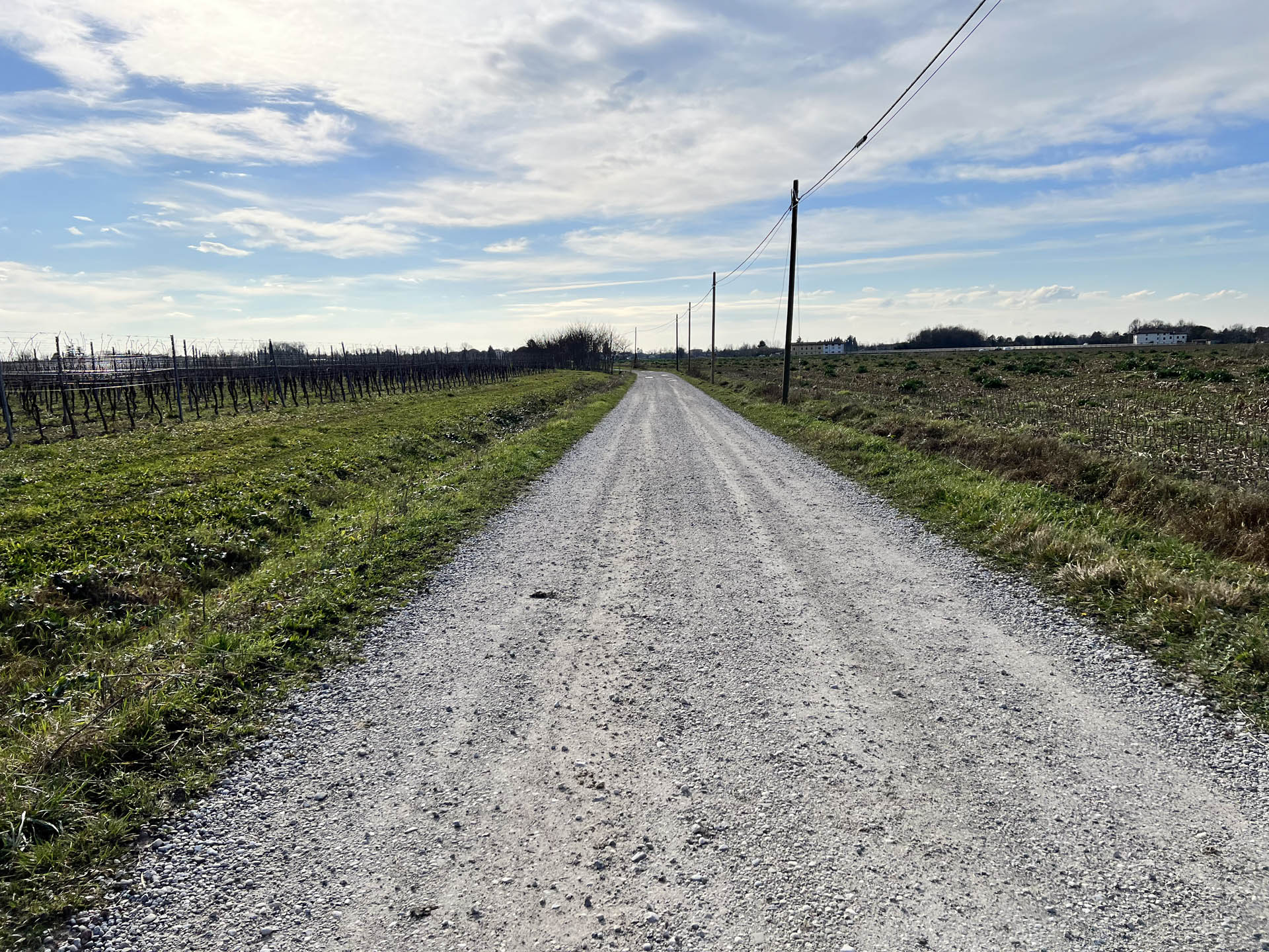
Photo 12 - Path on dirt road towards San Nicolò
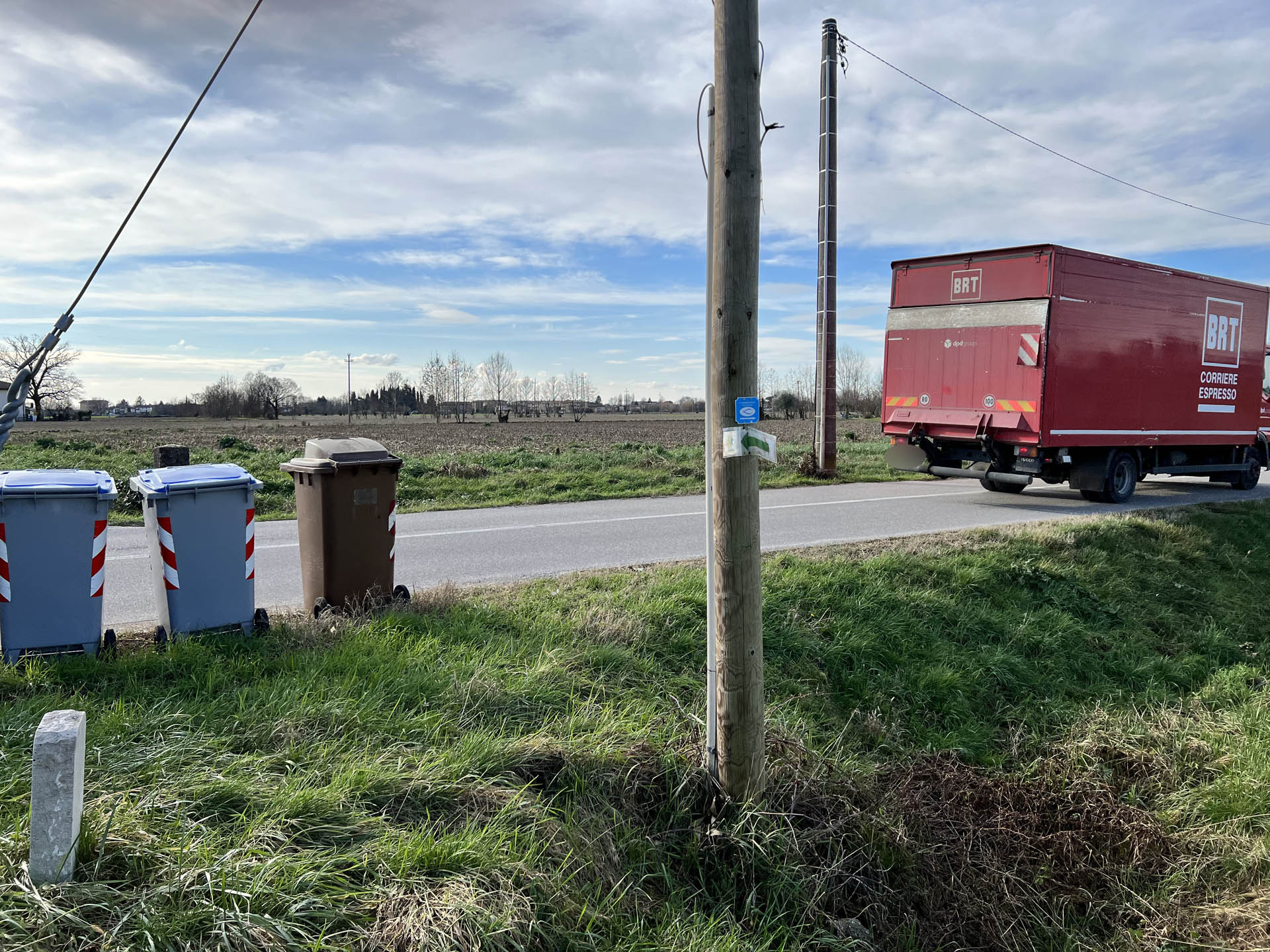
Photo 13 - Path indication sign
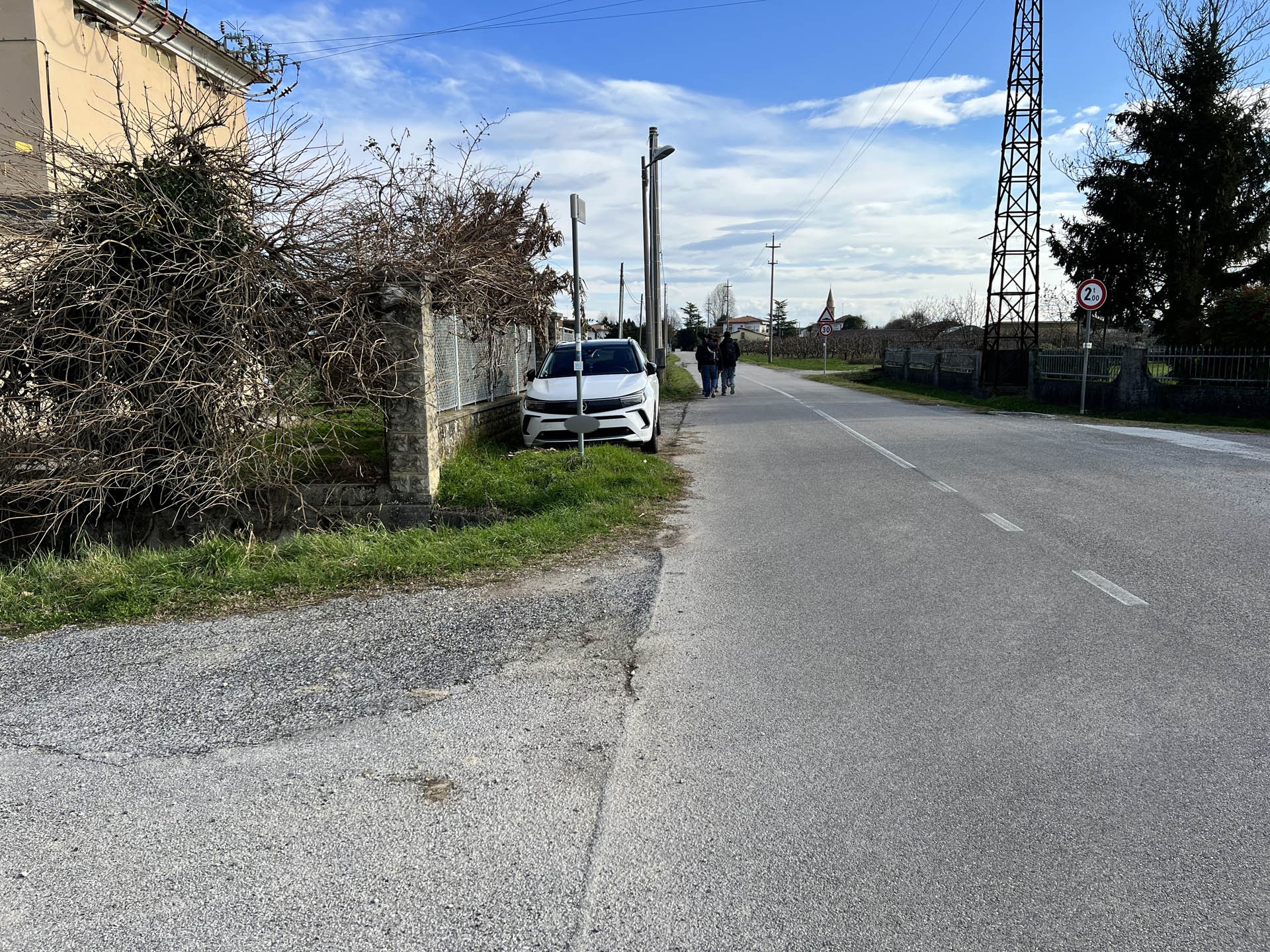
Photo 14 - Path on the edge of the road
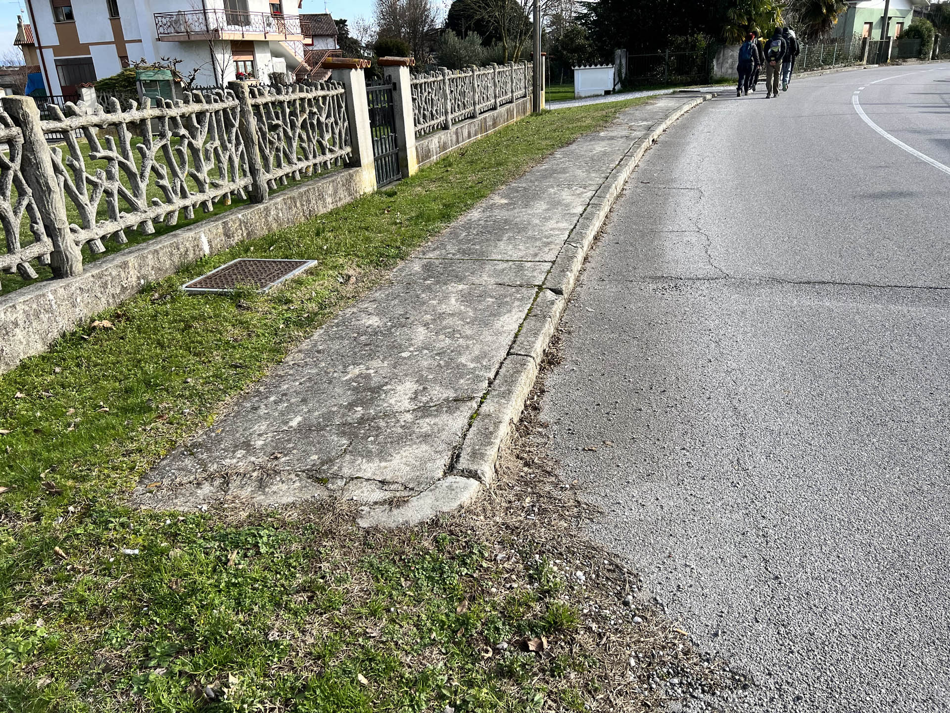
Photo 15 - Uneven sidewalk
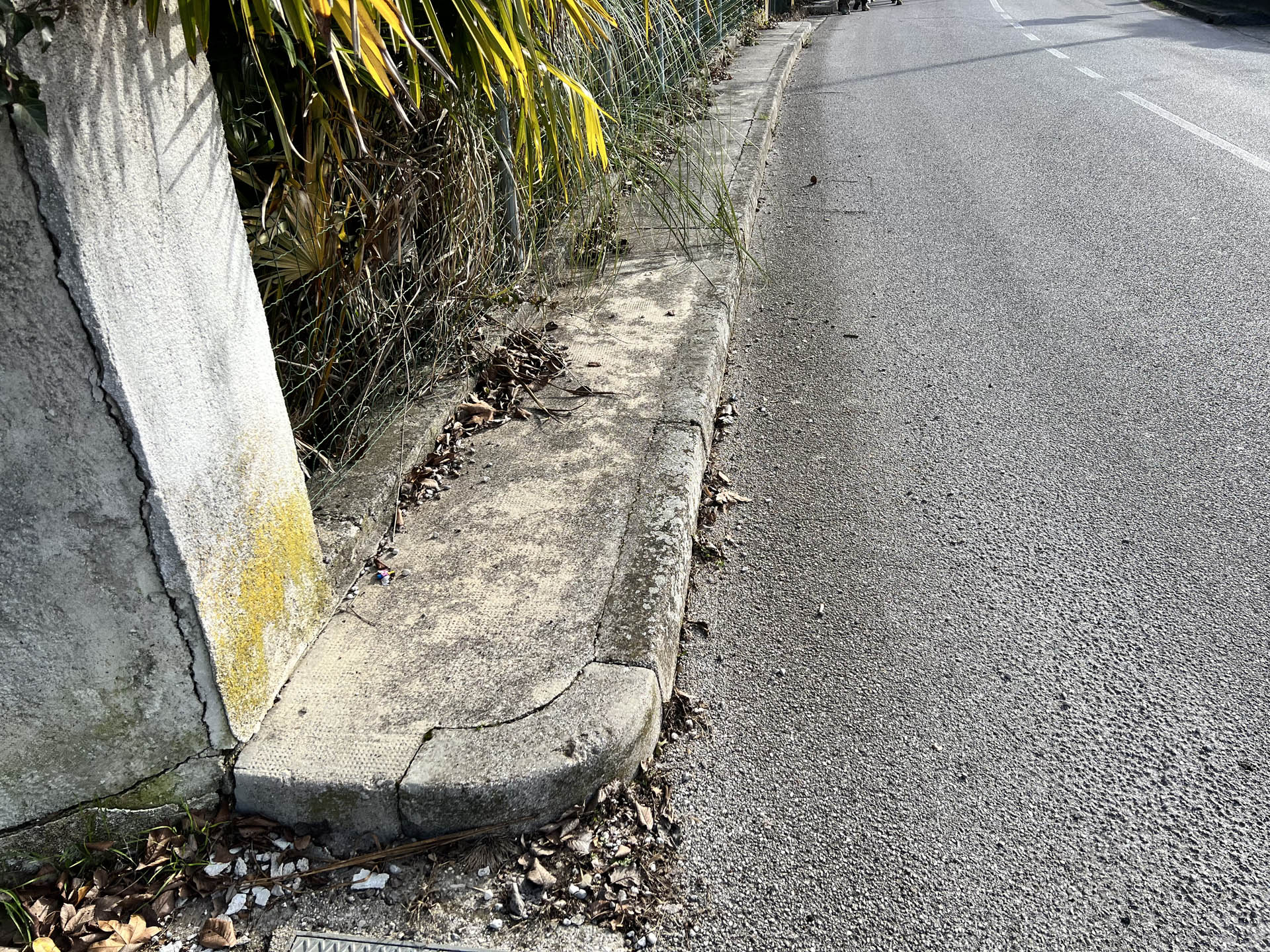
Photo 16 - Uneven sidewalk, continuation on the edge of the road
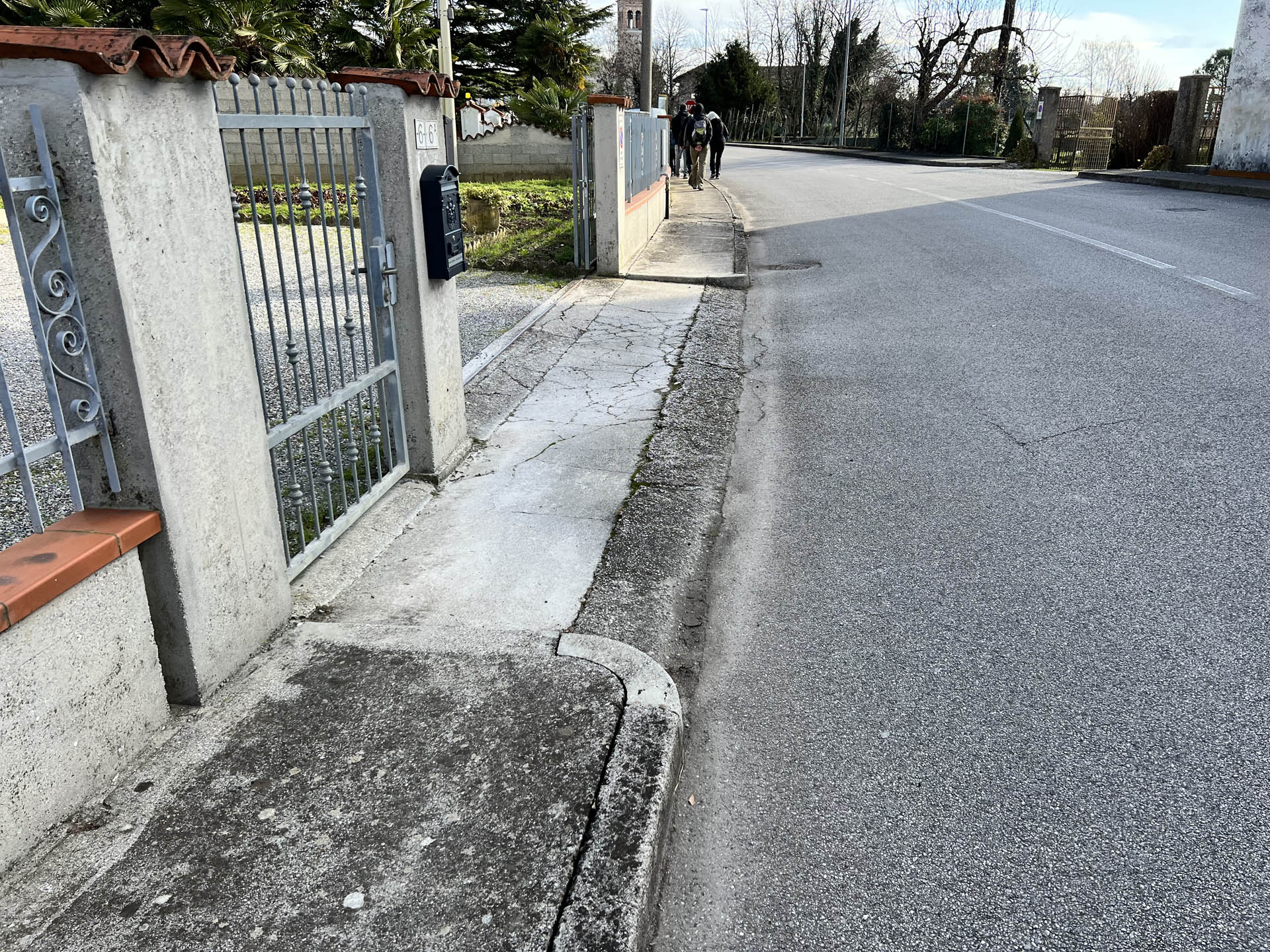
Photo 17 - Driveways without ramps for descent
Near the Church of San Nicolò, one arrives at a paved area where some commercial establishments are located; this space is partly used as a parking lot and partly open to vehicular traffic (Photo 19). It is necessary to cross it to reach the first useful pedestrian crossing that allows safe passage for people to reach the Church.
The pedestrian lines end with a ramp that safely allows access to the sidewalk on the right side of Via Grado (Photo 20). The width of the sidewalk is about 130 cm.
The sidewalk continues up to the area in front of the church (Photo 21) and then stops (Photo 22).
This means that one must walk about ten meters on the paved road to reach a small resting area with benches and a public fountain with drinking water (Photo 23).
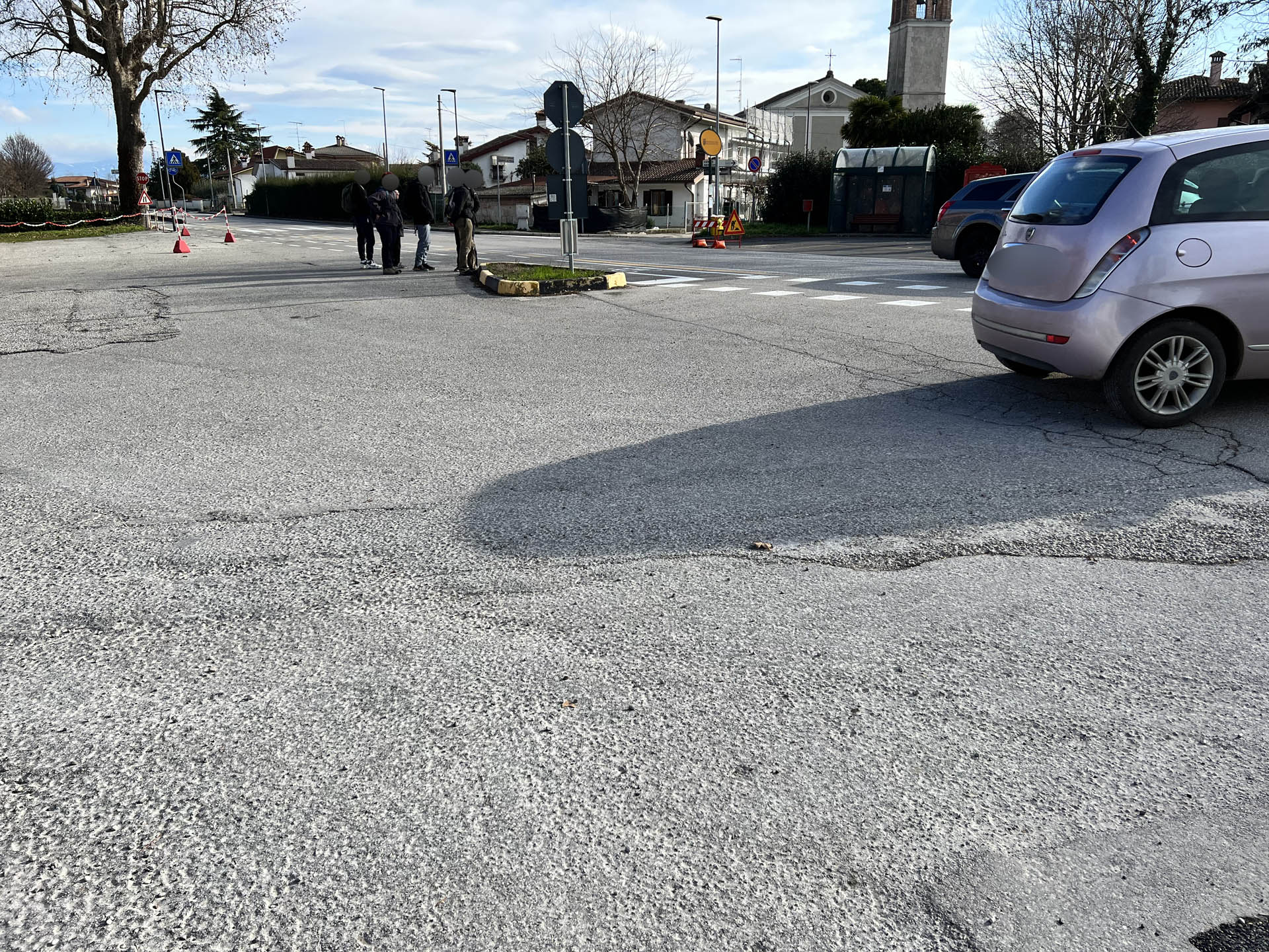
Photo 19 - Area to cross to reach the pedestrian crossing
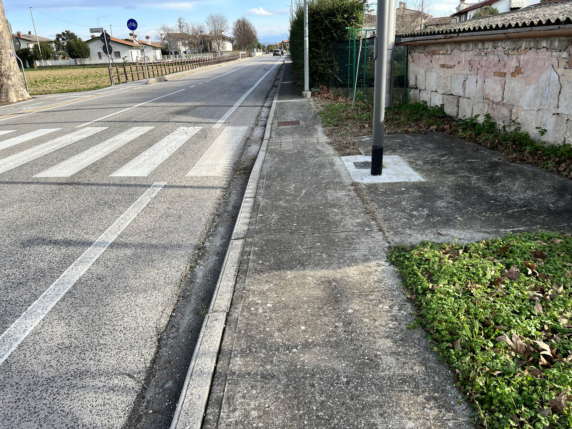
Photo 20 - Continuation of the path on the sidewalk
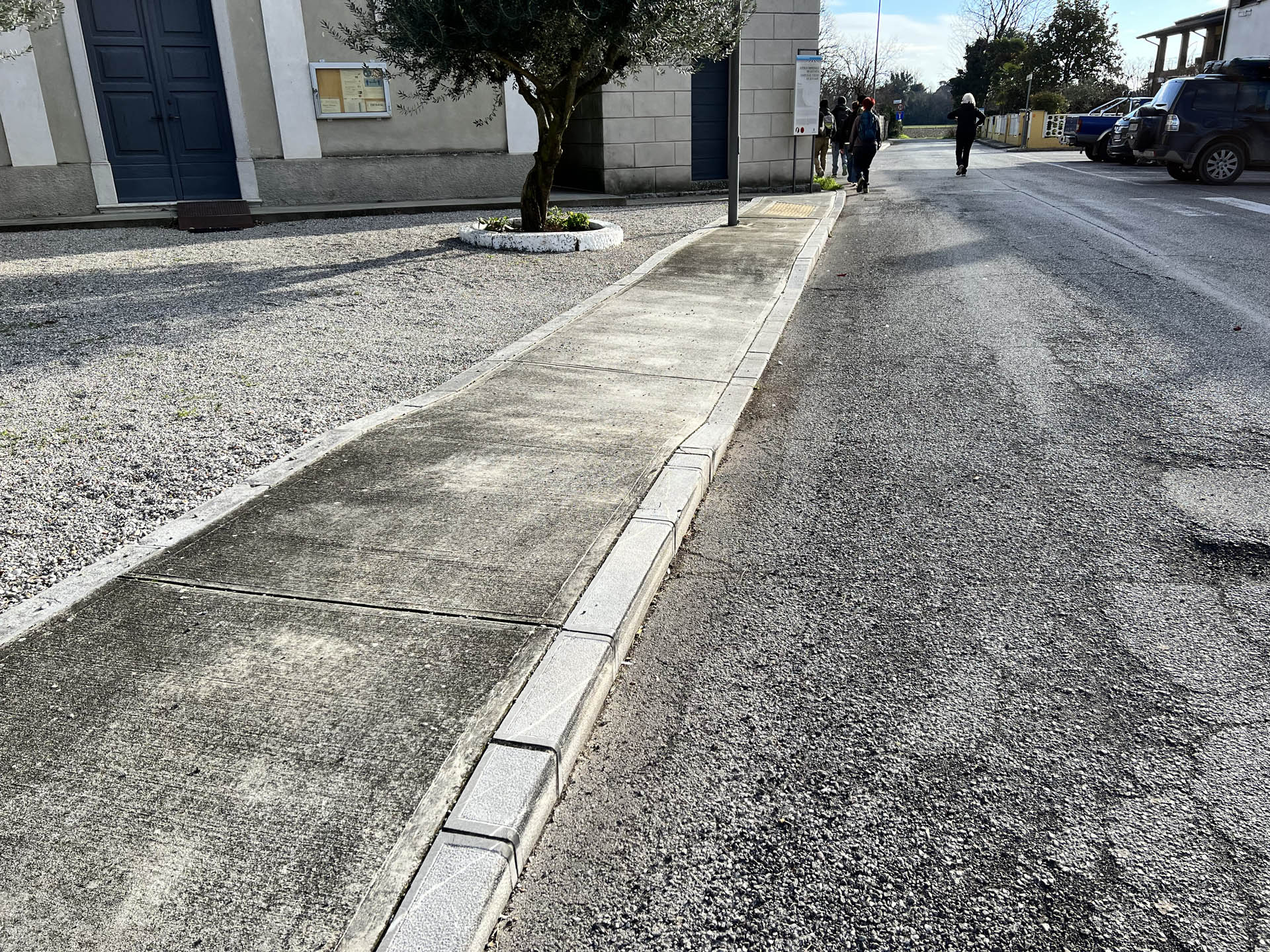
Photo 21 - Path on the sidewalk
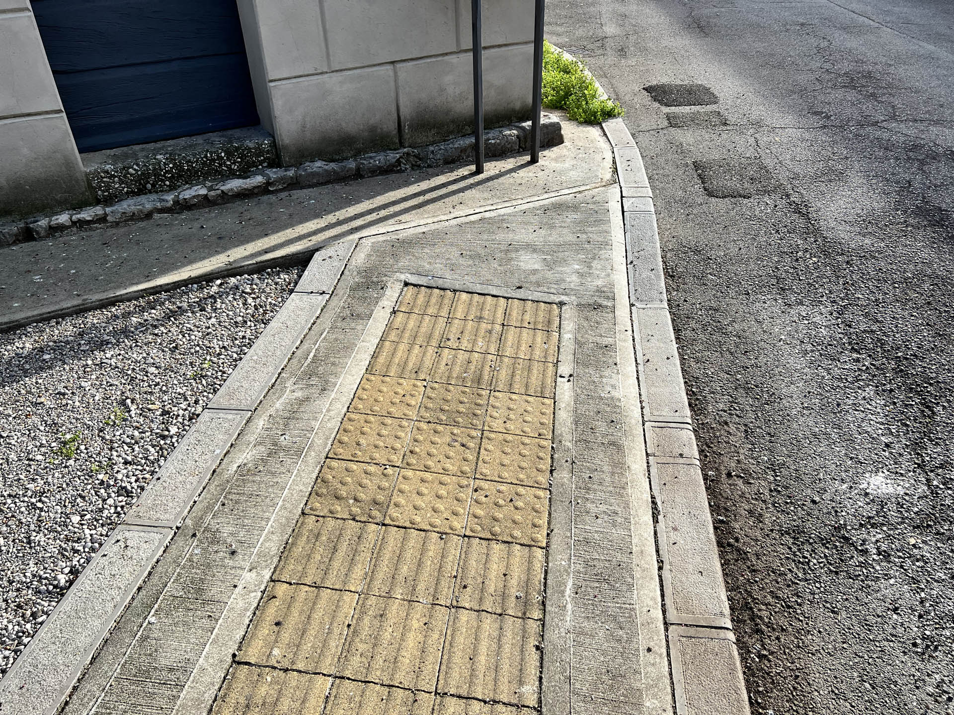
Photo 22 - Sidewalk interruption at the corner with the church
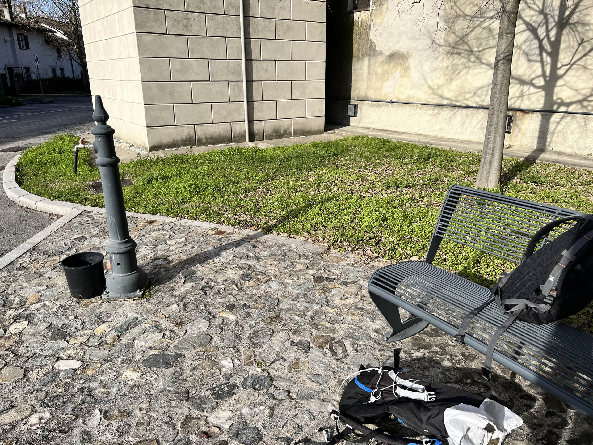
Photo 23 - Rest area with benches and drinking water fountain
Continuing on a low-traffic paved road, the sidewalk reappears on the left side of the roadway with a width of about 150 cm. However, its usability is hindered by the presence of bins (Photo 24). Subsequently, the sidewalk narrows to 50 cm before ending at Vicolo dei Crociati. The path continues on a low-traffic paved road (Photo 25).
One hundred meters further on, the path with a paved surface ends and for the next 50 meters, it leads onto a stretch with a gravel surface and low vehicle traffic (Photo 26), which leads to the intersection with Jevada street, the continuation of Via Grado previously crossed (Photo 27).
At this point, to follow the route, it is necessary to continue for a stretch on Jevada Street towards Ruda, then cross it and access the bike path on the opposite side. In this case, the path requires great caution as the stretch has heavy vehicle traffic, there is no sidewalk on one side (Photo 28), and there is no pedestrian crossing (Photo 29).
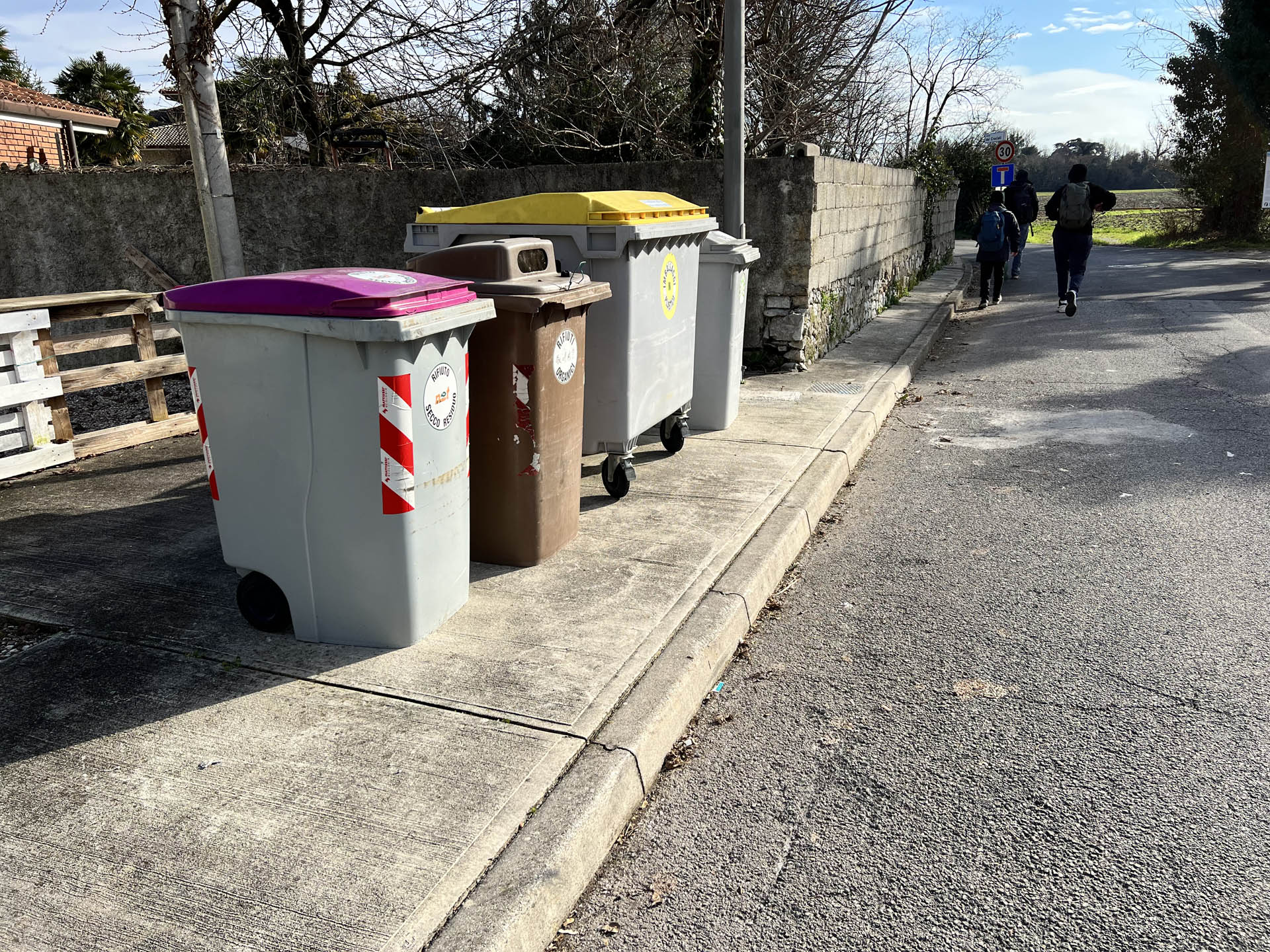
Photo 24 - Sidewalk travel obstructed by bins
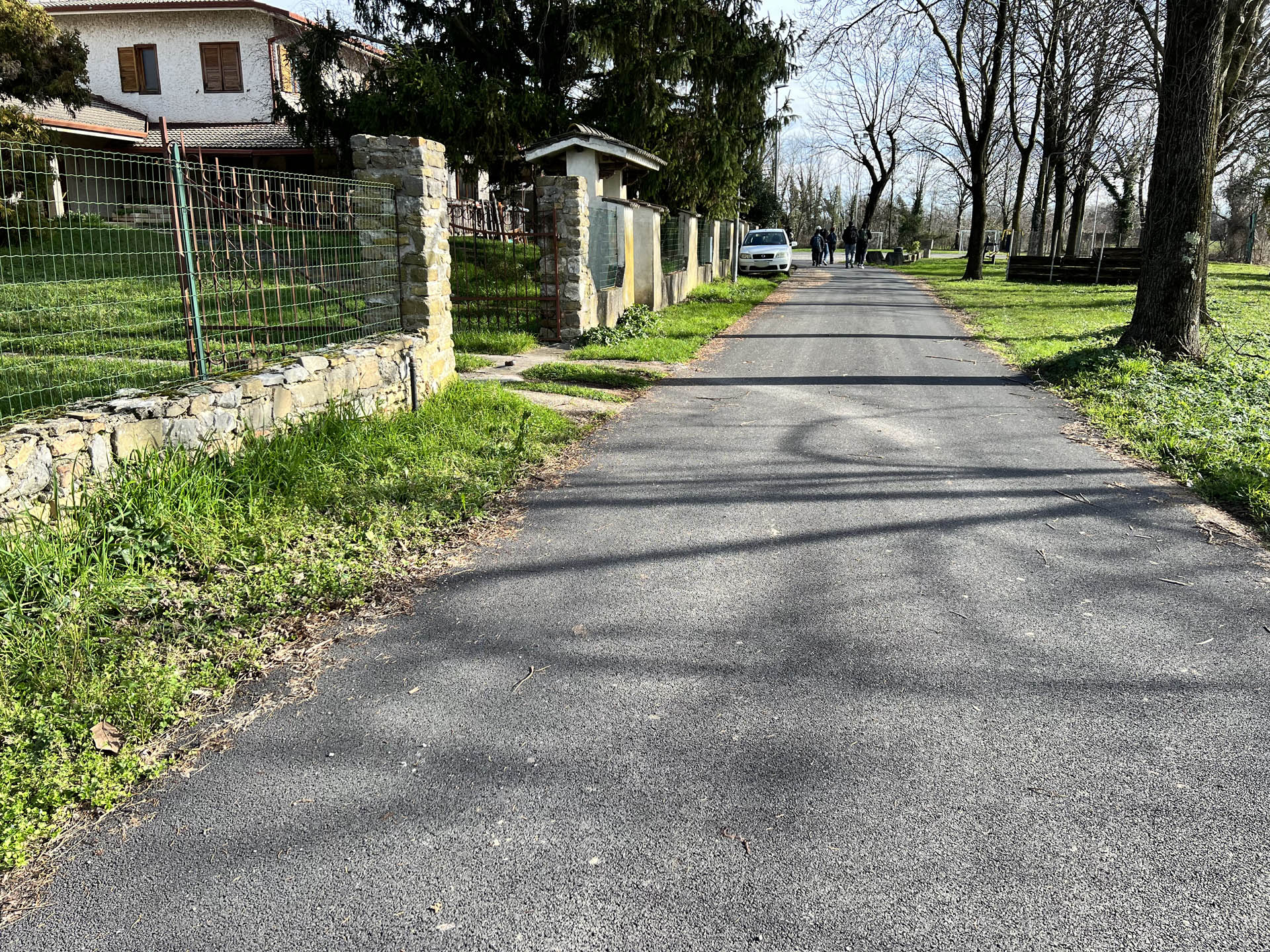
Photo 25 - Continuation on paved road
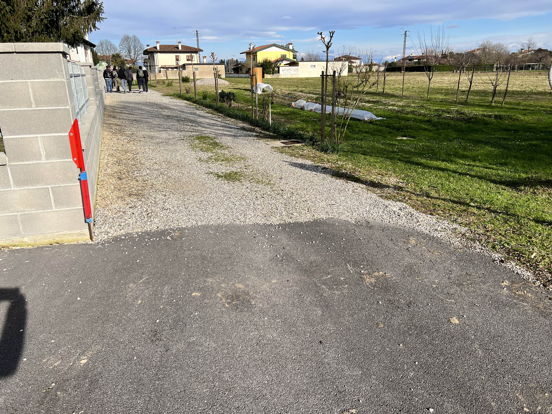
Photo 26 - Stretch of unpaved path
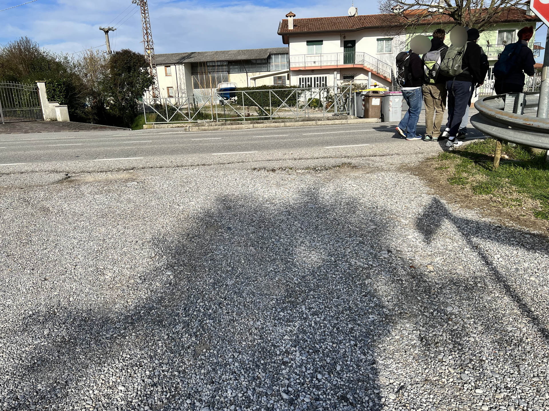
Photo 27 - Turn on a heavily trafficked road
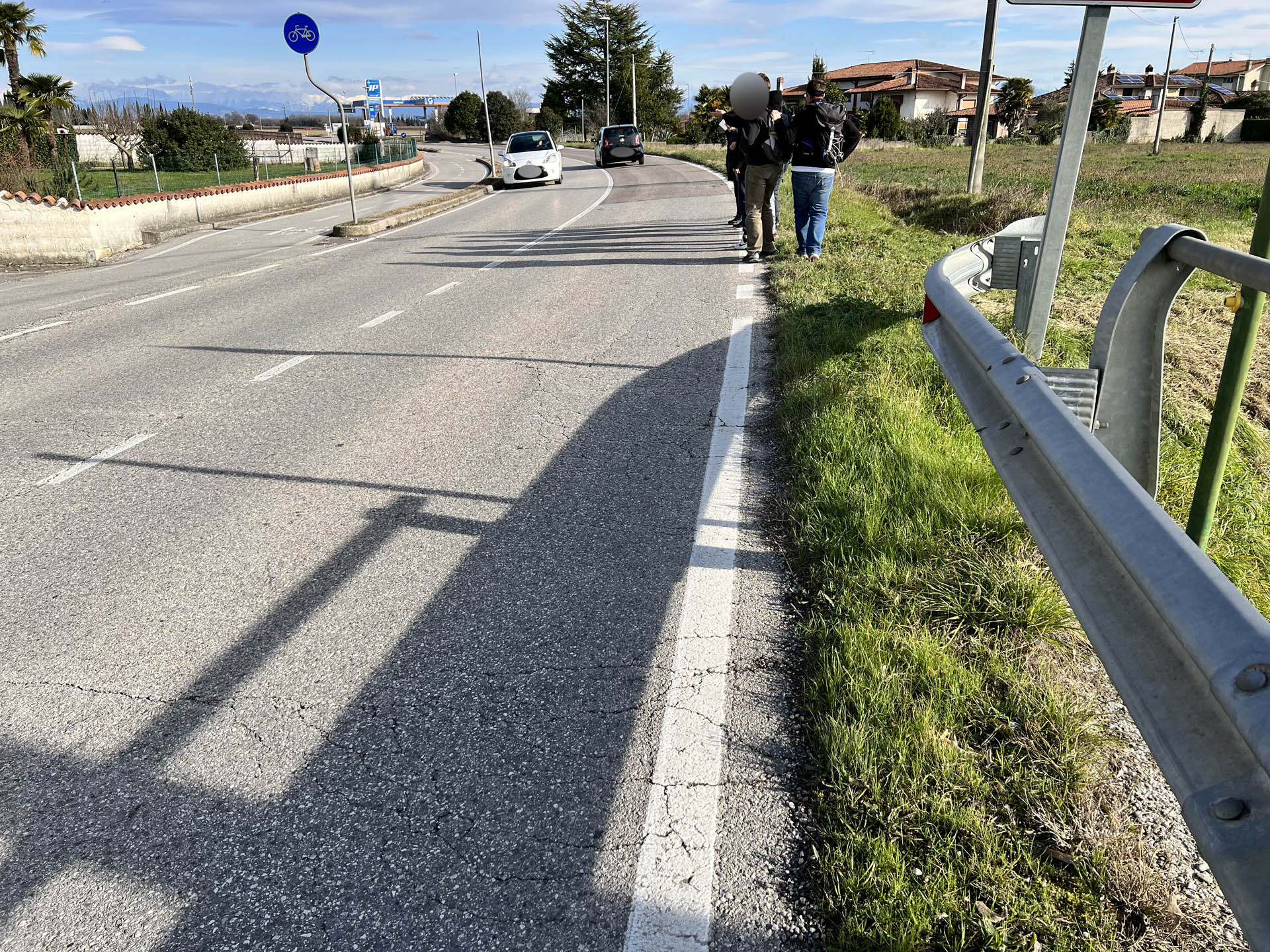
Photo 28 - Absence of sidewalks and safe pedestrian crossings
Photo 29 - Continuation on bike path
Continuing for one hundred meters on the bike path (Photo 30), there is again a sign indicating the route on laminated paper, which indicates the crossing of Jevada Street at a point where there is no safe pedestrian passage (Photo 31 and 32)
Crossing Jevada Street again, there is a sign on laminated paper, fixed on a vertical stop sign (Photo 33) that indicates the direction of the route that winds along Ponte Vecchio Street, until reaching the bank of the Torre River.
The path continues on an asphalt road, with medium vehicle traffic, where there are no sidewalks on the sides of the roadway. The presence of artificial bumps on the roadway is noted (Photo 34 and 35).
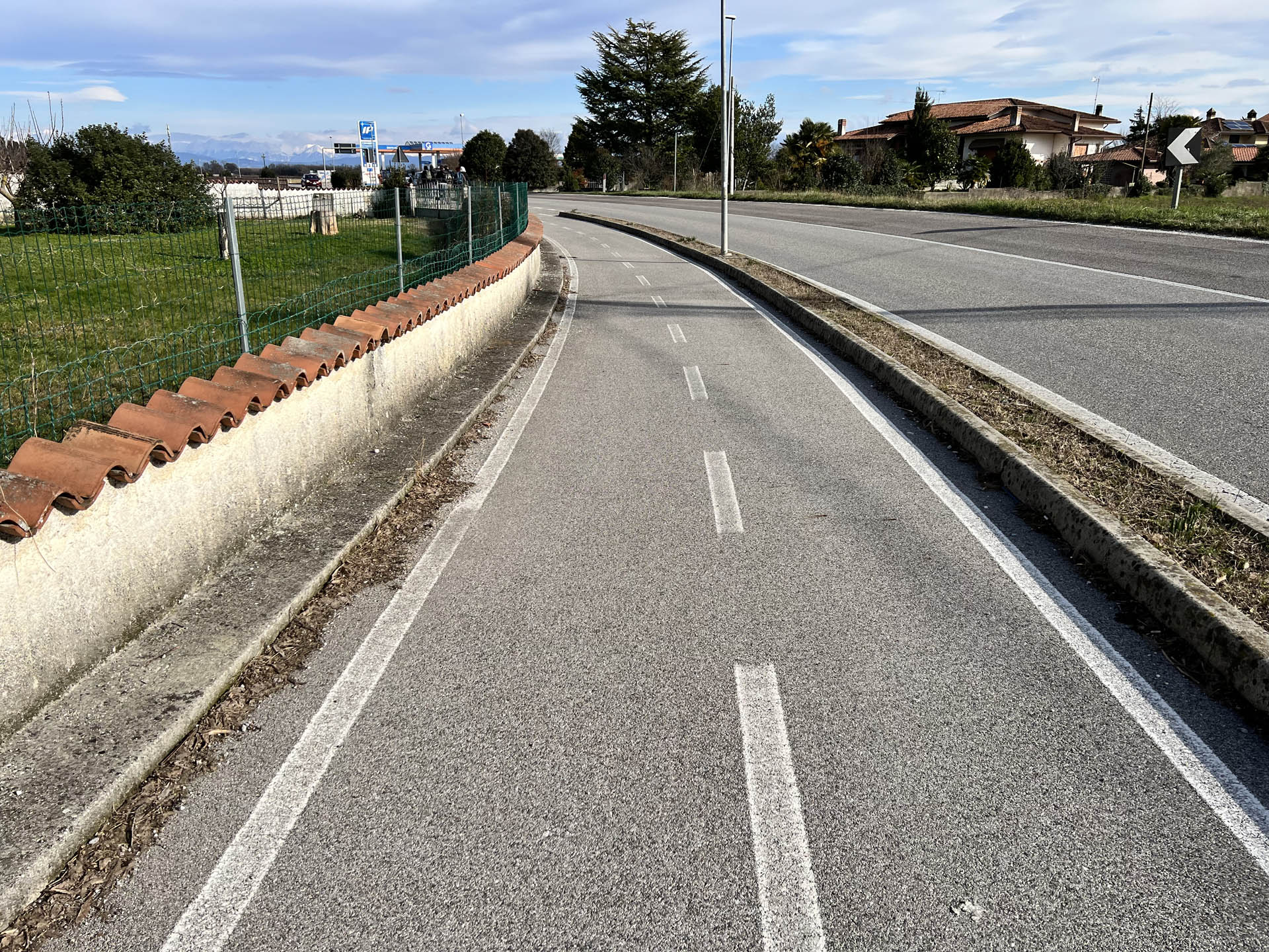
Photo 30 - Path on paved bike lane
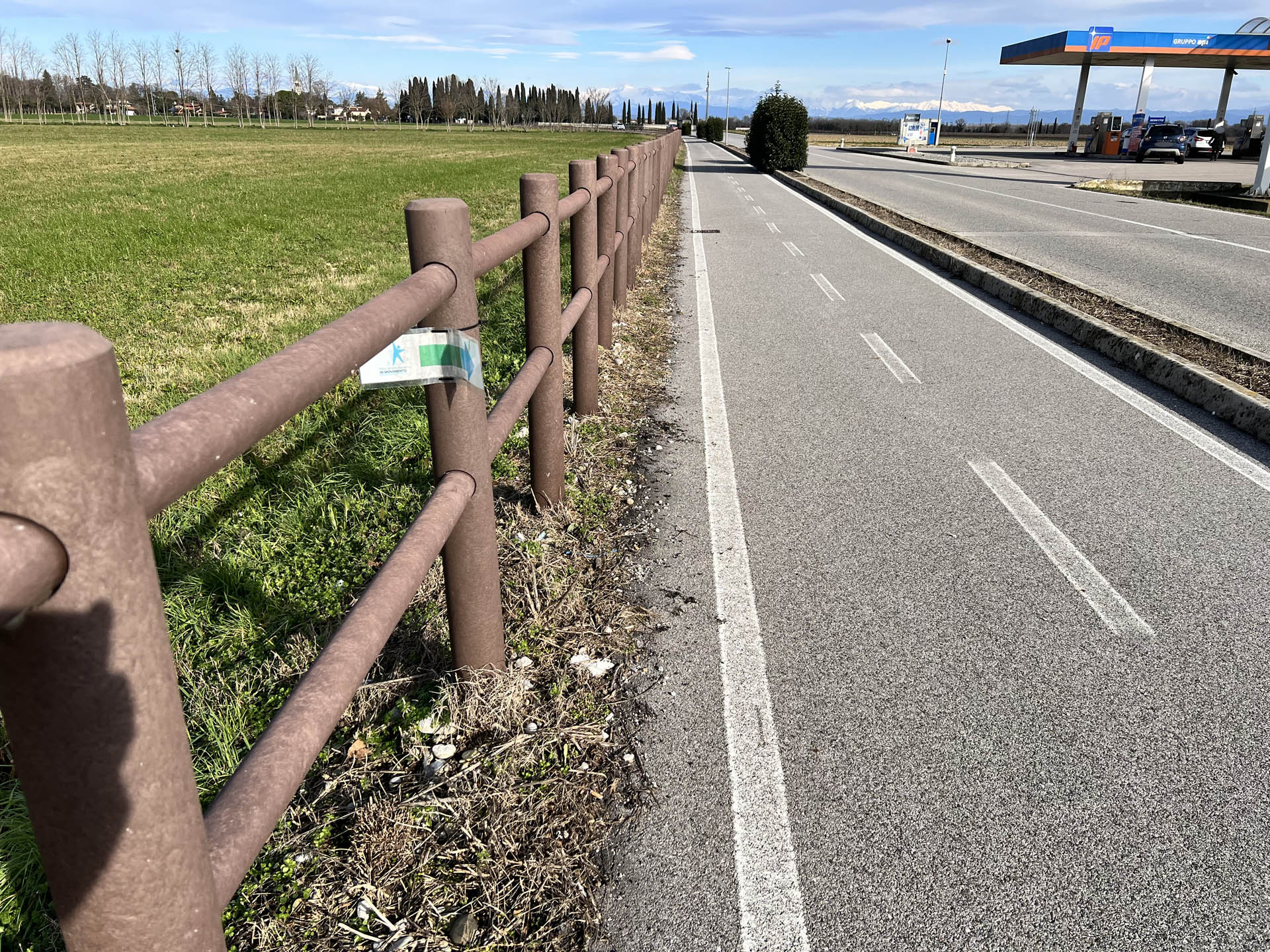
Photo 31 - Path indication sign
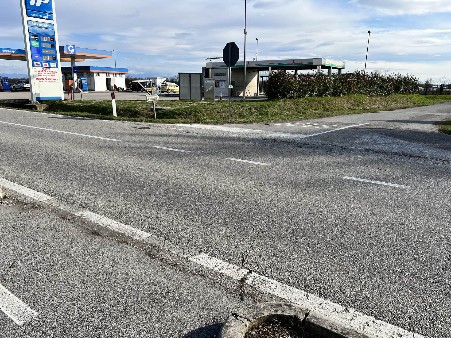
Photo 32 - Continuation of the path towards the side road on the right
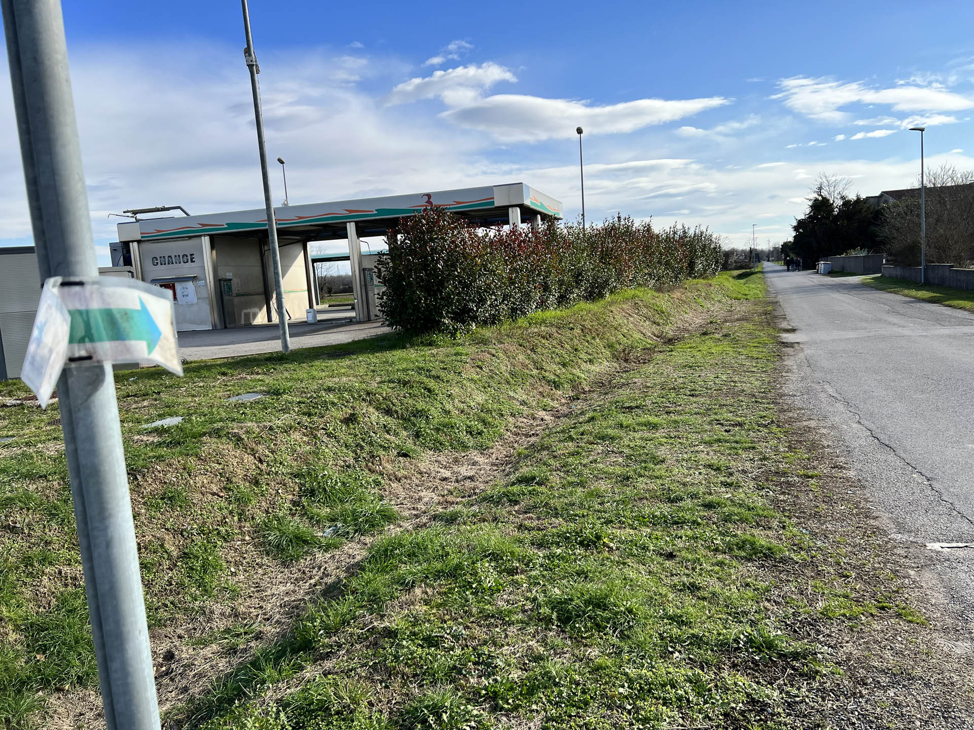
Photo 33 - Path indication sign
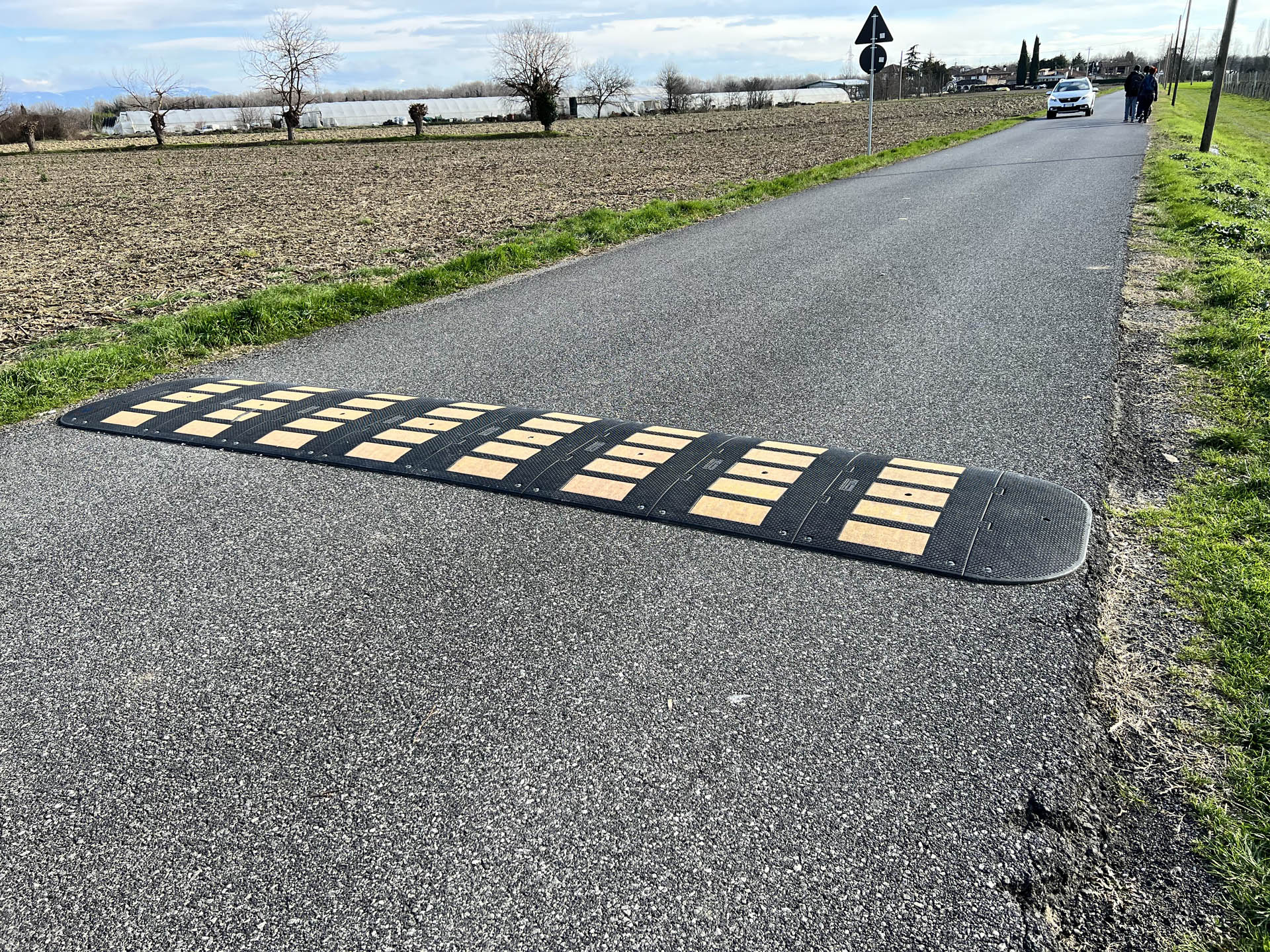
Photo 34 - Paved road with speed bumps
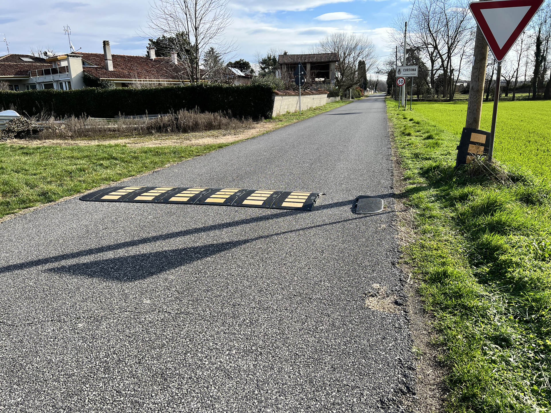
Photo 35 - Paved road with speed bumps
In the locality of Cortona, the route requires a detour onto a side road, crossing Via Ponte Vecchio at a point without pedestrian crossings (Photo 36).
Continuing on the side road (Photo 37), the surface changes from paved to quite uneven dirt, with the presence of dips, holes, and stones (Photo 38).
After about 500 meters, the section ends with a slight ascent to the Torre River; the path bends left for about 90 degrees, then runs alongside the bank on the right. There is a significant downhill slope at this point, with an inclination of about 10 degrees (Photo 39).
The path continues for about 2 km alongside the bank; the surface is grassy and earthy with dips and possible puddles forming in case of rain (Photos 40 and 41). There are also deep ruts left by passing agricultural vehicles. Directional signage is present on laminated paper fixed to a tree trunk (Photo 42).
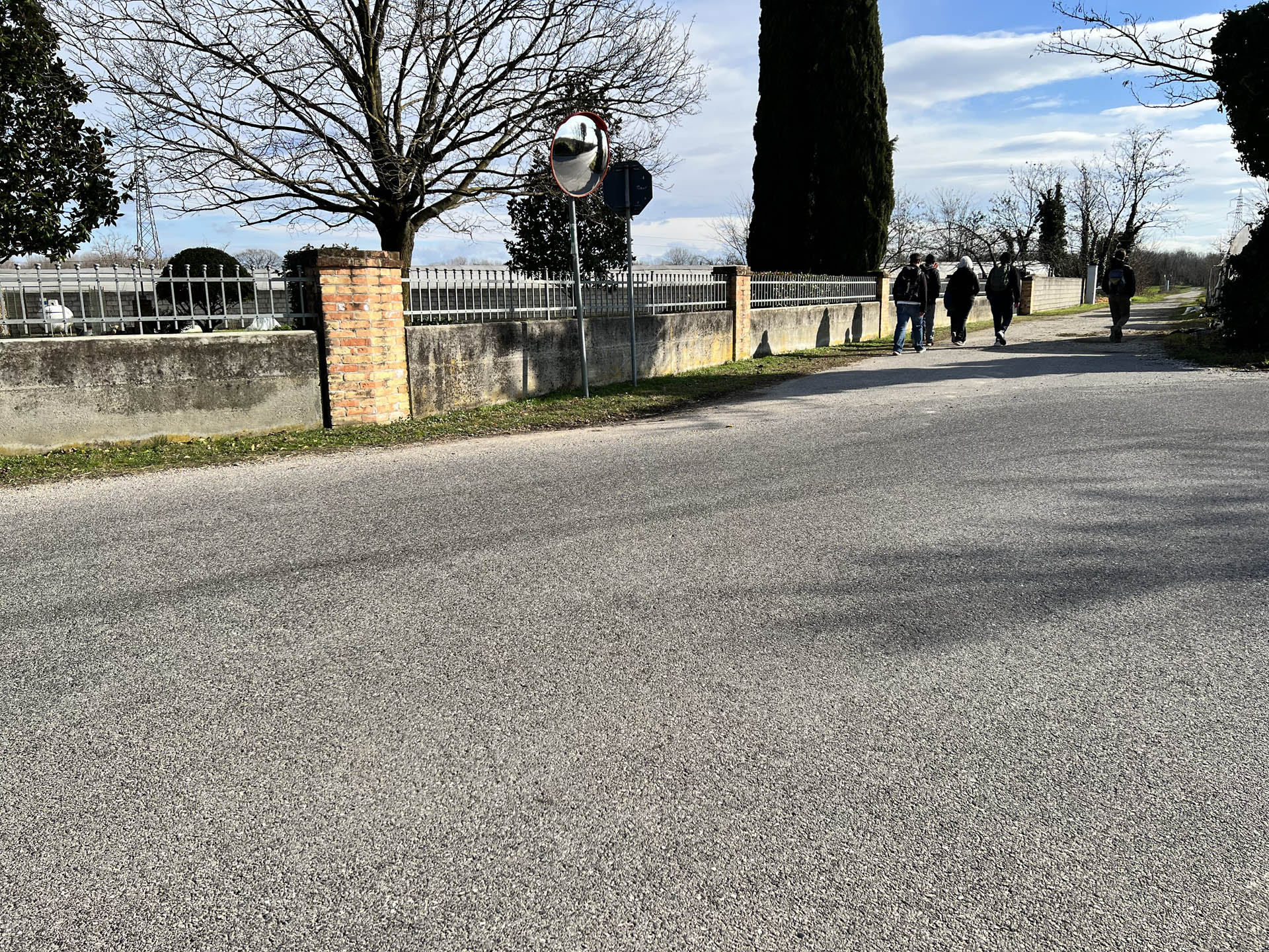
Photo 36 - First pedestrian crossing
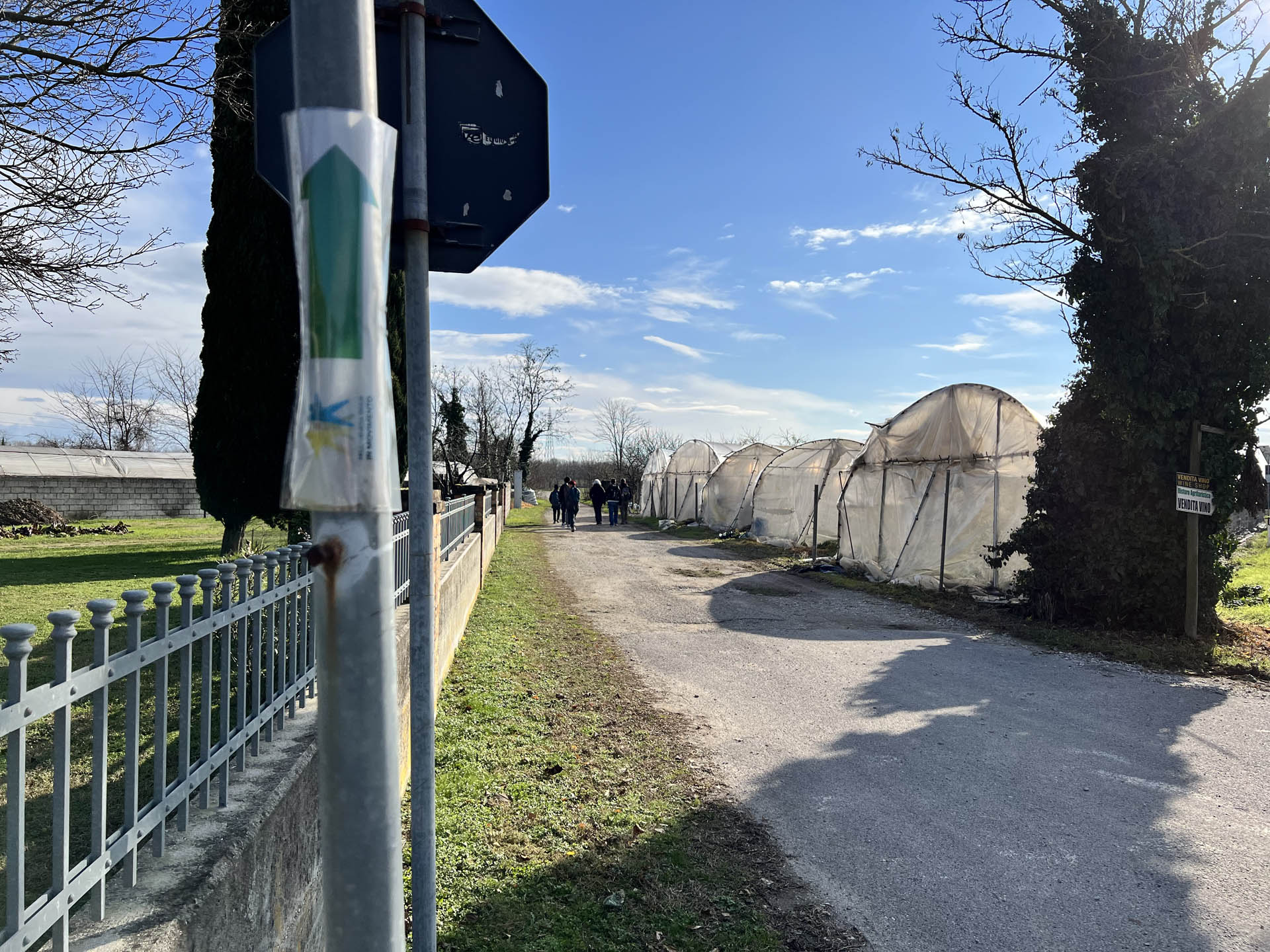
Photo 37 - Path on bumpy asphalt road
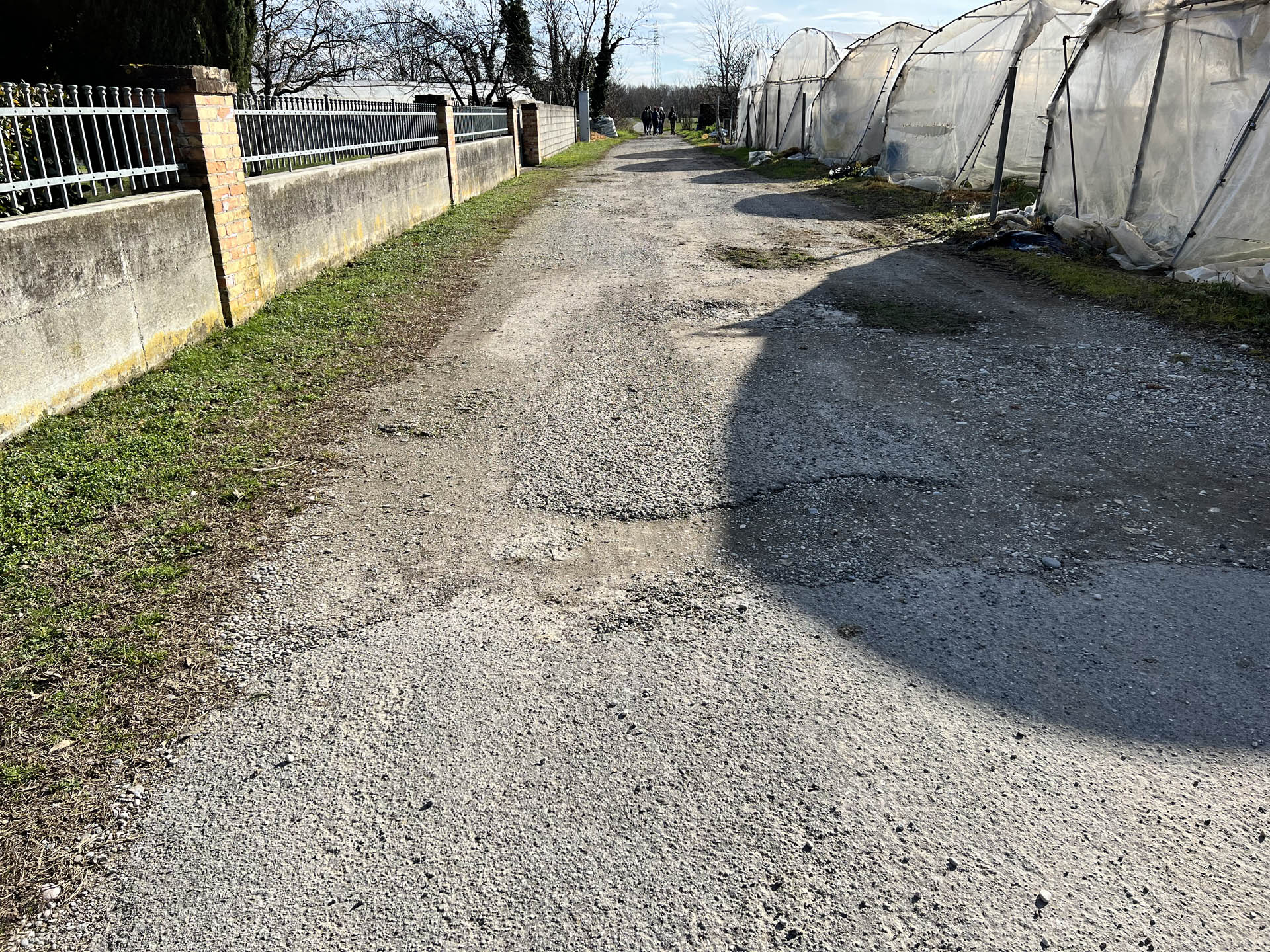
Photo 38 - Path on bumpy asphalt road
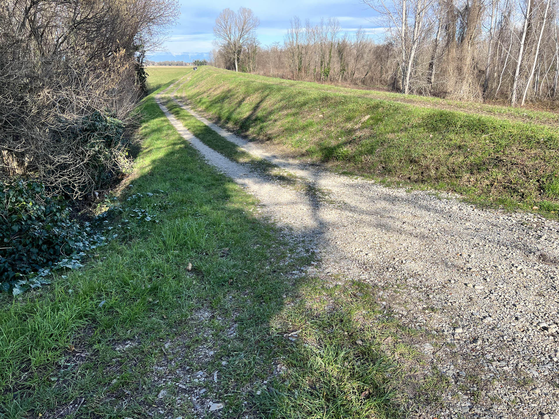
Photo 39 - Continuation on dirt road
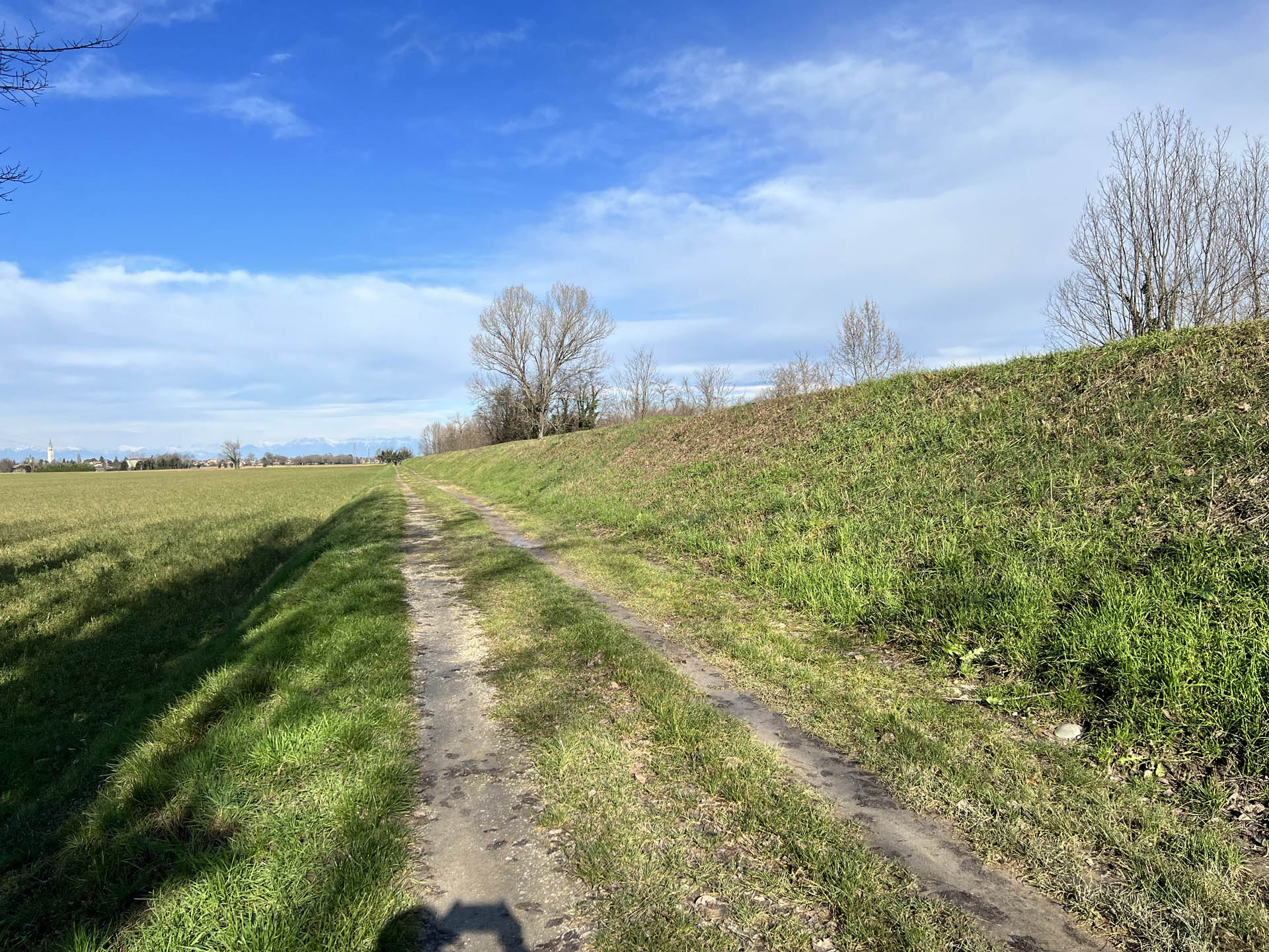
Photo 40 - Path on dirt road
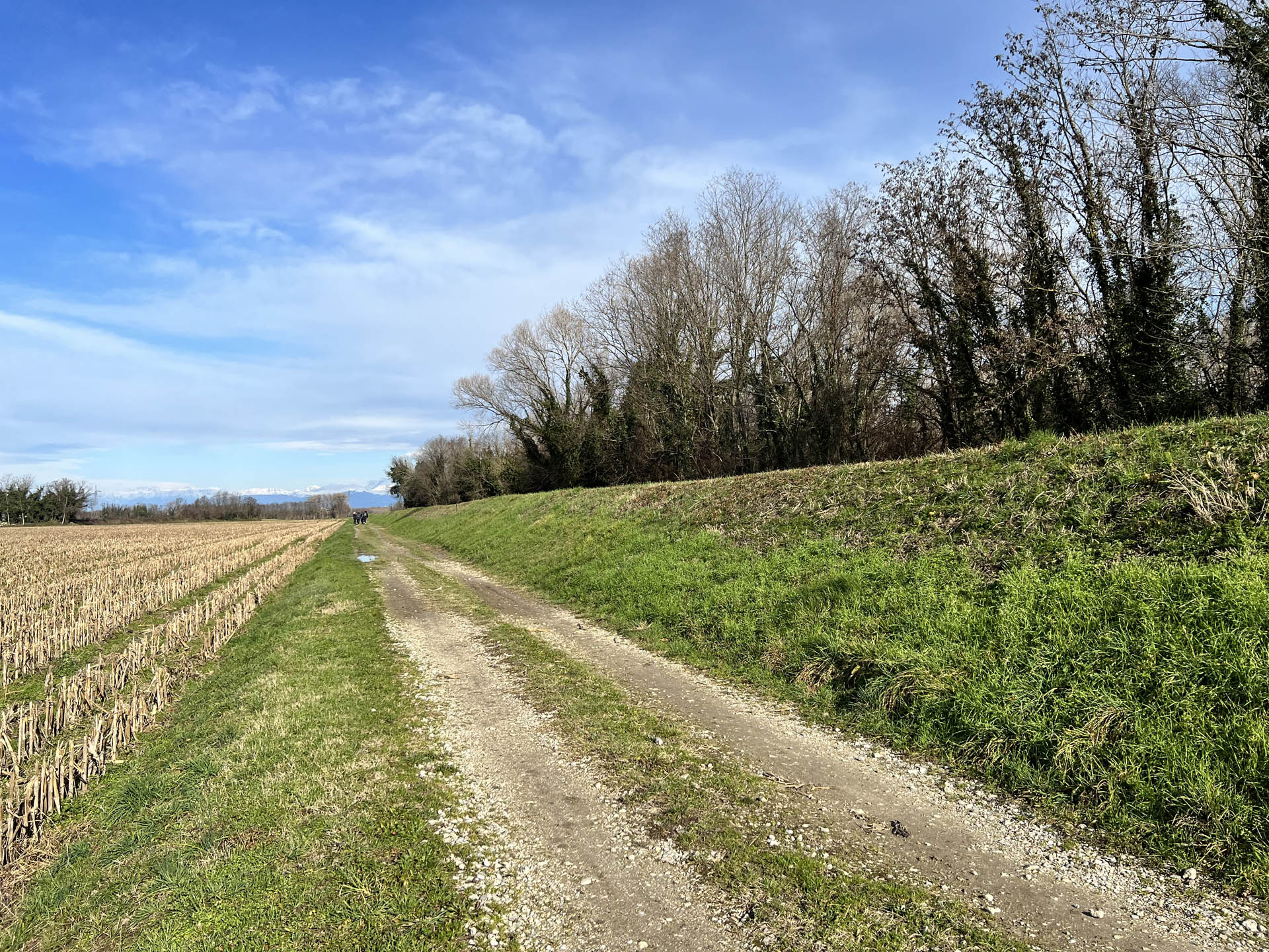
Photo 41 - Path on dirt road
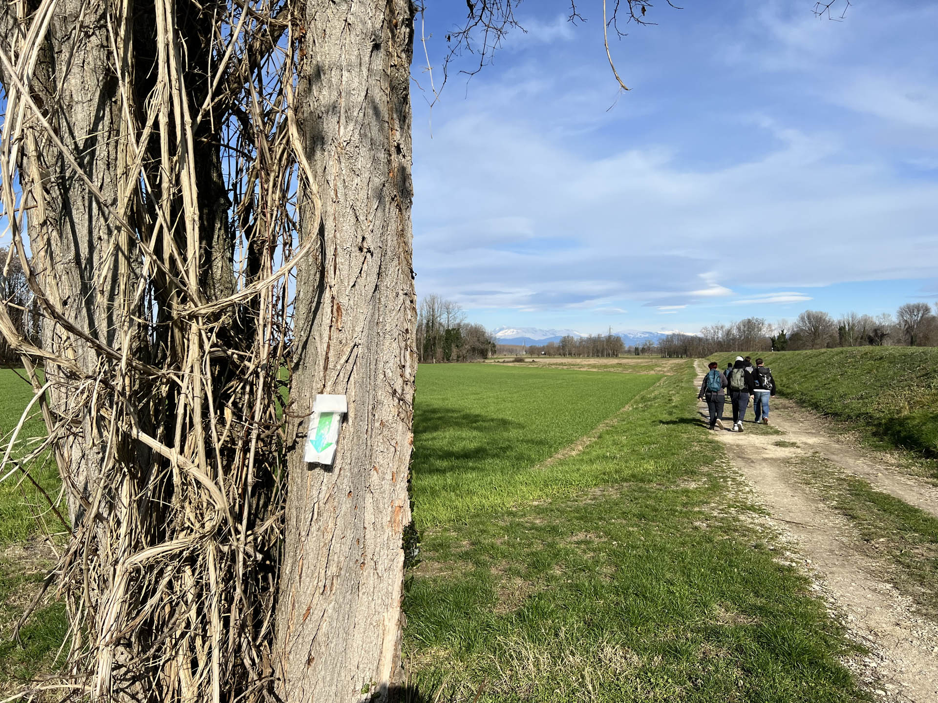
Photo 42 - Path indication sign fixed to a tree
You leave the embankment by turning left, towards Ruda (Photo 43); the change of direction is indicated by a sign made of plastic-coated paper, fixed on a road sign pole (Photo 44).
After about 500 m, the dirt road ends in a clearing with a gravel surface (Photo 45); once passed, the path resumes on Via Torre, an asphalt road open to vehicular traffic (Photo 46). The first 100 meters of Via Torre are without sidewalks; subsequently, near the inhabited area, there is a sidewalk about 150 cm wide with a 5 cm access curb (Photo 47).
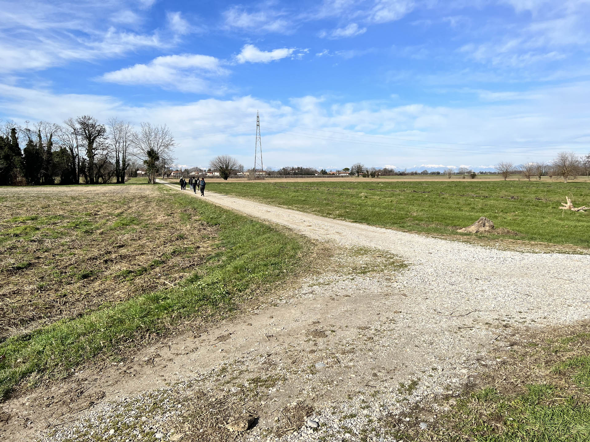
Photo 43 - Turn left towards Ruda
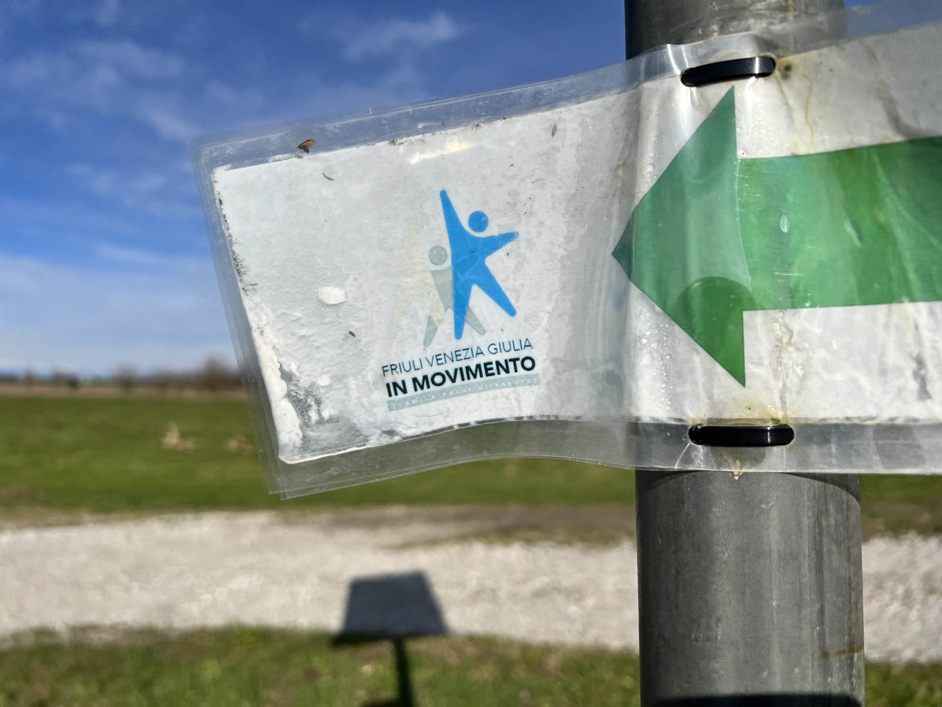
Photo 44 - Path indication sign

Photo 45 - Gravel widening
Photo 46 - Continuation on paved section
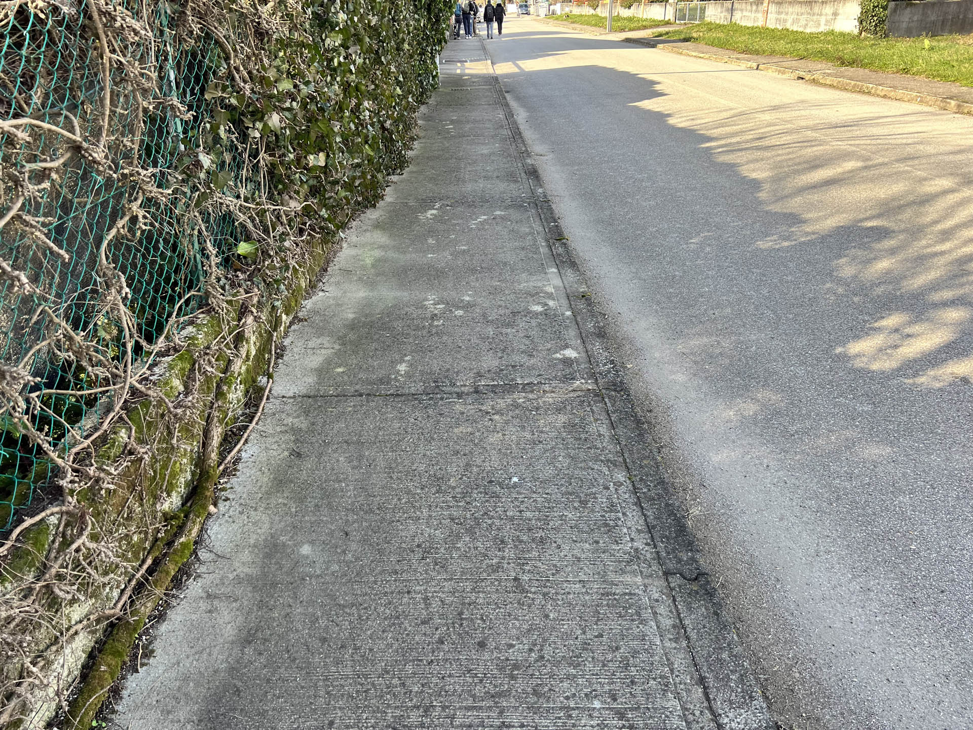
Photo 47 - Continuation on sidewalk
The sidewalk è interrupted by numerous driveways, equipped with ramps (Photo 48); there è also the presence of public lighting poles on the pedestrian area that reduce the space for transit to about 120 cm (Photo 49). Near the first intersection with a secondary road, the sidewalk ends without a ramp for descent.
After the intersection, continuing on Via Torre, the path on the sidewalk è hindered by the presence of a curb of about 8 cm; the passage is then made difficult also by the presence of poles of various types and bins for green waste placed on the pedestrian area (Photo 50-51).
Continuing along the route, the sidewalk that borders provincial road 8, Ruda - Villesse can now be traversed without problems and has a width of about 150 cm (Photo 52).
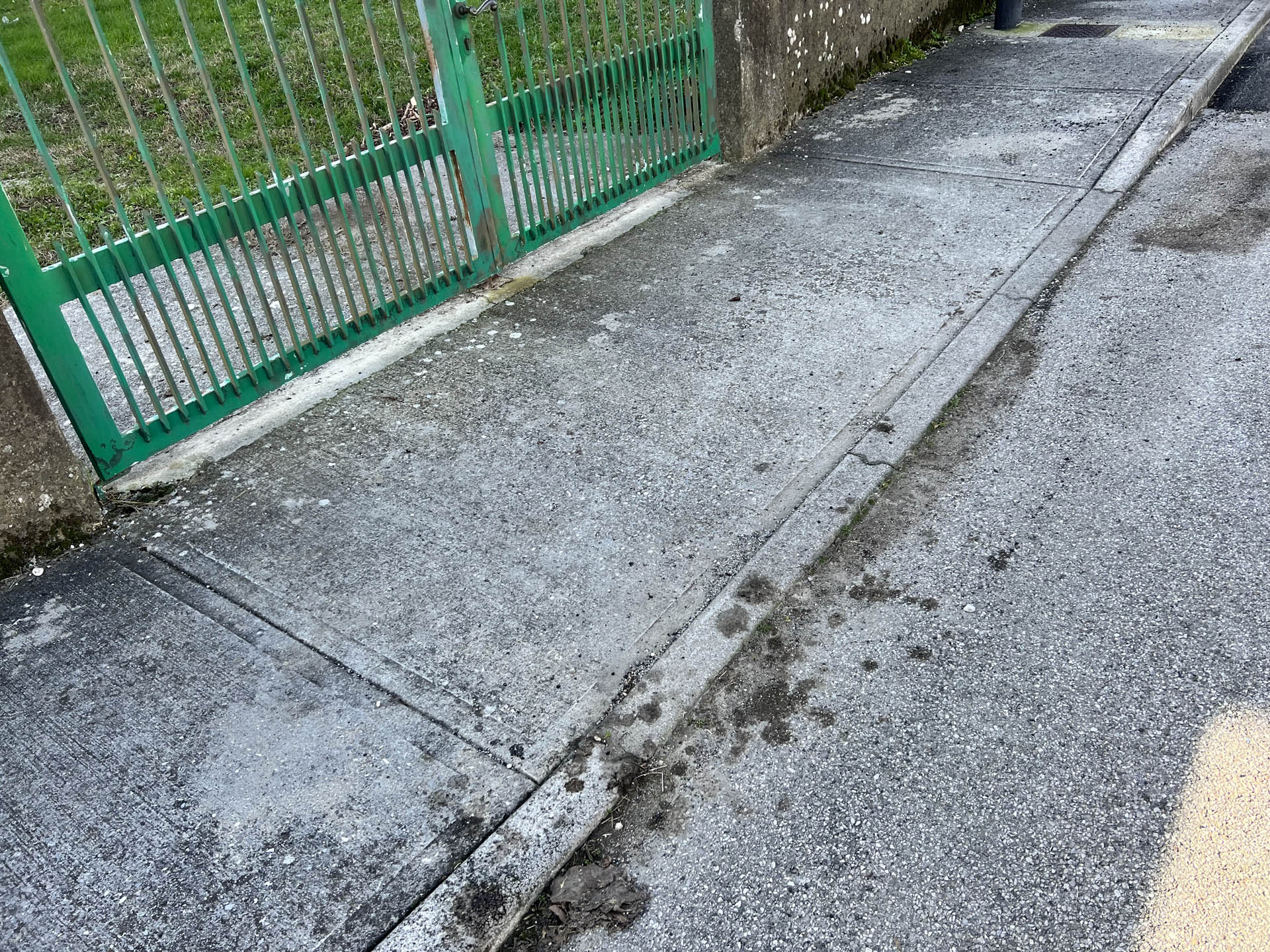
Photo 48 - Driveways equipped with ramps
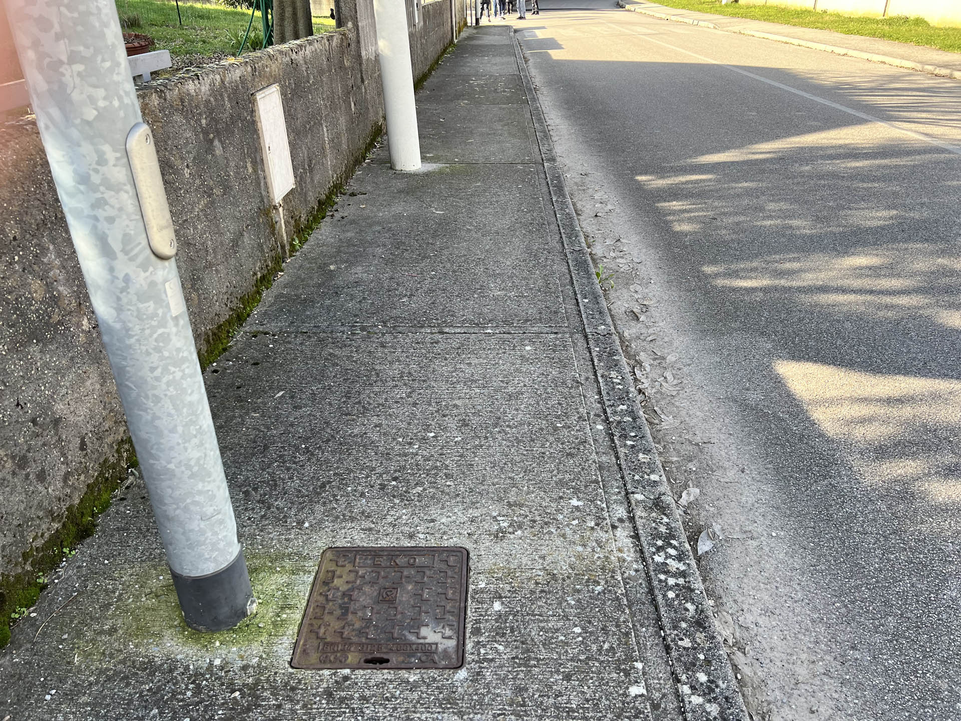
Photo 49 - Path narrowing due to light poles
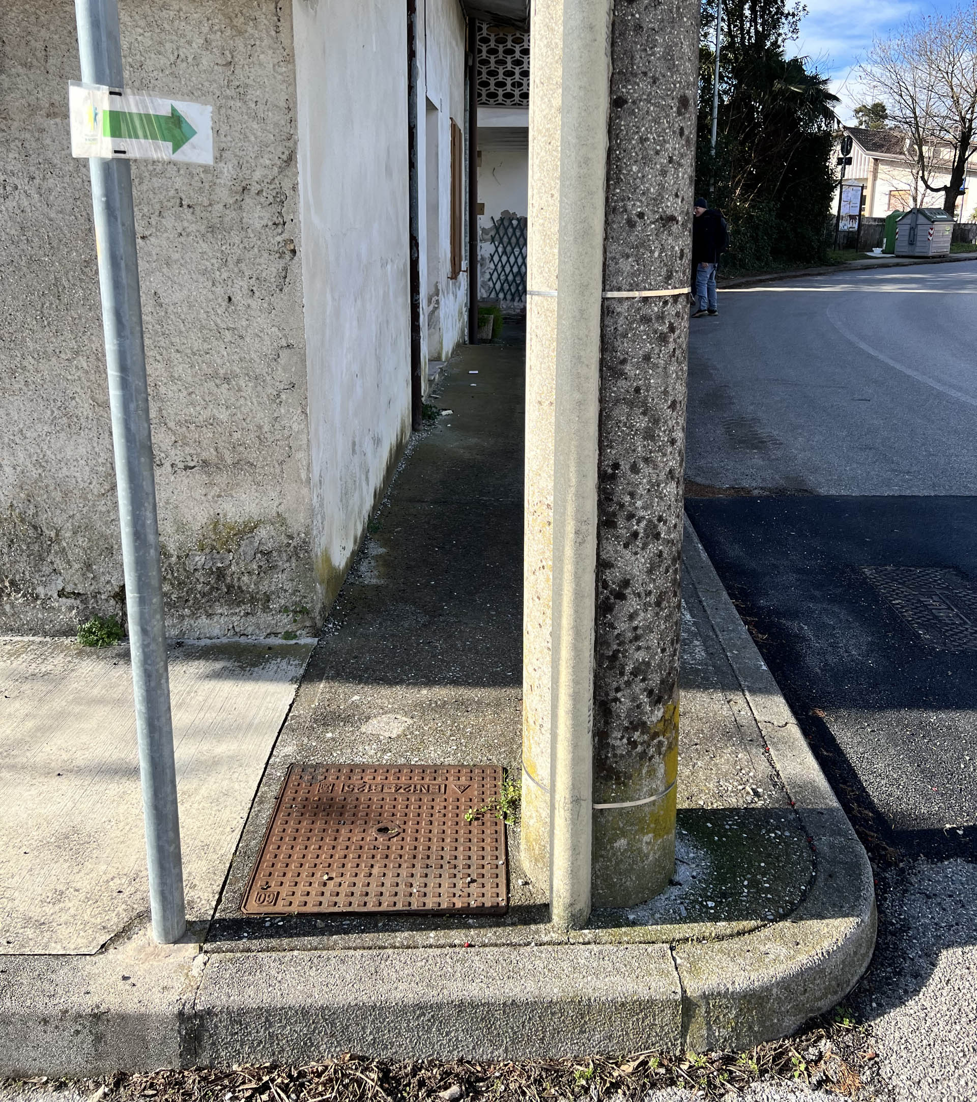
Photo 50 - Continuation on sidewalk with high curb
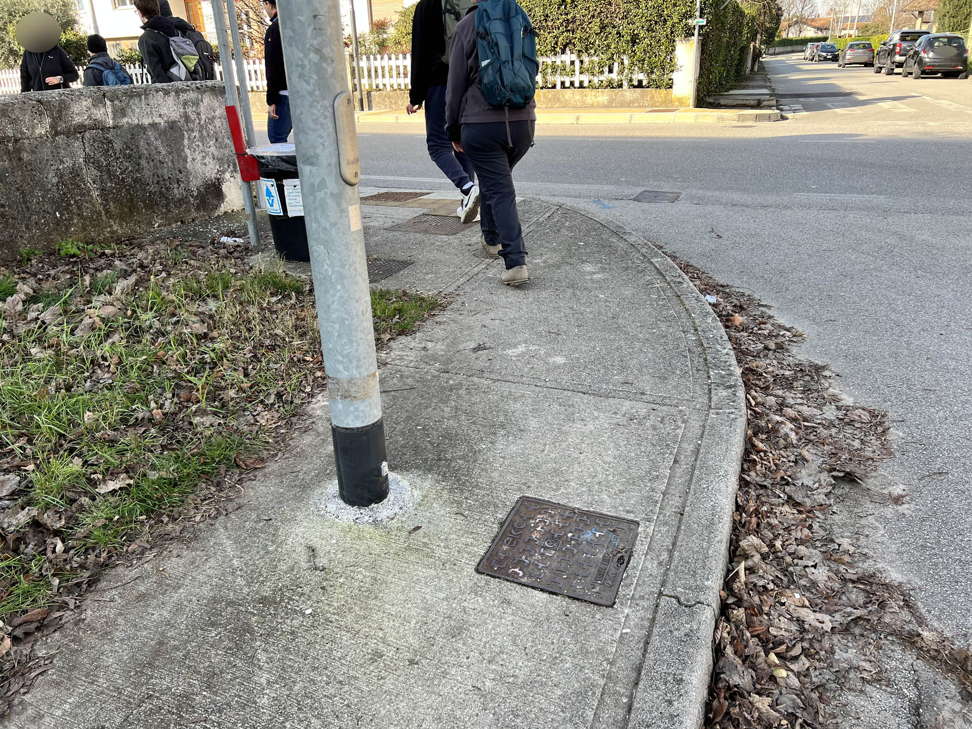
Photo 51 - Path narrowing due to poles and bins

Photo 52 - Path on sidewalk
Near the parish church of the village, the immediately following section forces pedestrians to walk on the roadway, as the sidewalk is almost completely occupied by the presence of bins for waste collection (Photo 53).
After passing the bins, the sidewalk is again passable, with a width reduced to about 1 meter (Photo 54).
Near the pedestrian crossing on SP 8 (Photo 55), which leads to the main square of the village, passage on the sidewalk is obstructed by the presence of a public lighting pole (Photo 56) and by tables and chairs from a public establishment (Photo 57).
Just before reaching the parking lot, the starting and ending point of the route, there is a public lighting pole that narrows the pedestrian area to about 70 cm (Photo 58).
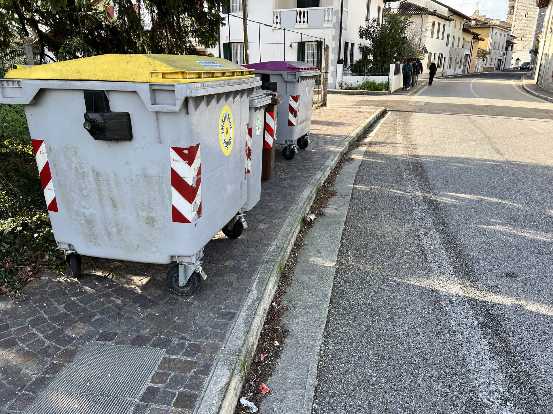
Photo 53 - Sidewalk section impassable due to dumpsters
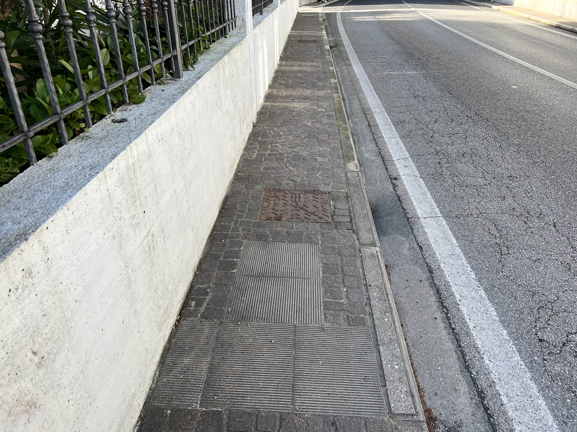
Photo 54 - Continuation of the path on the sidewalk
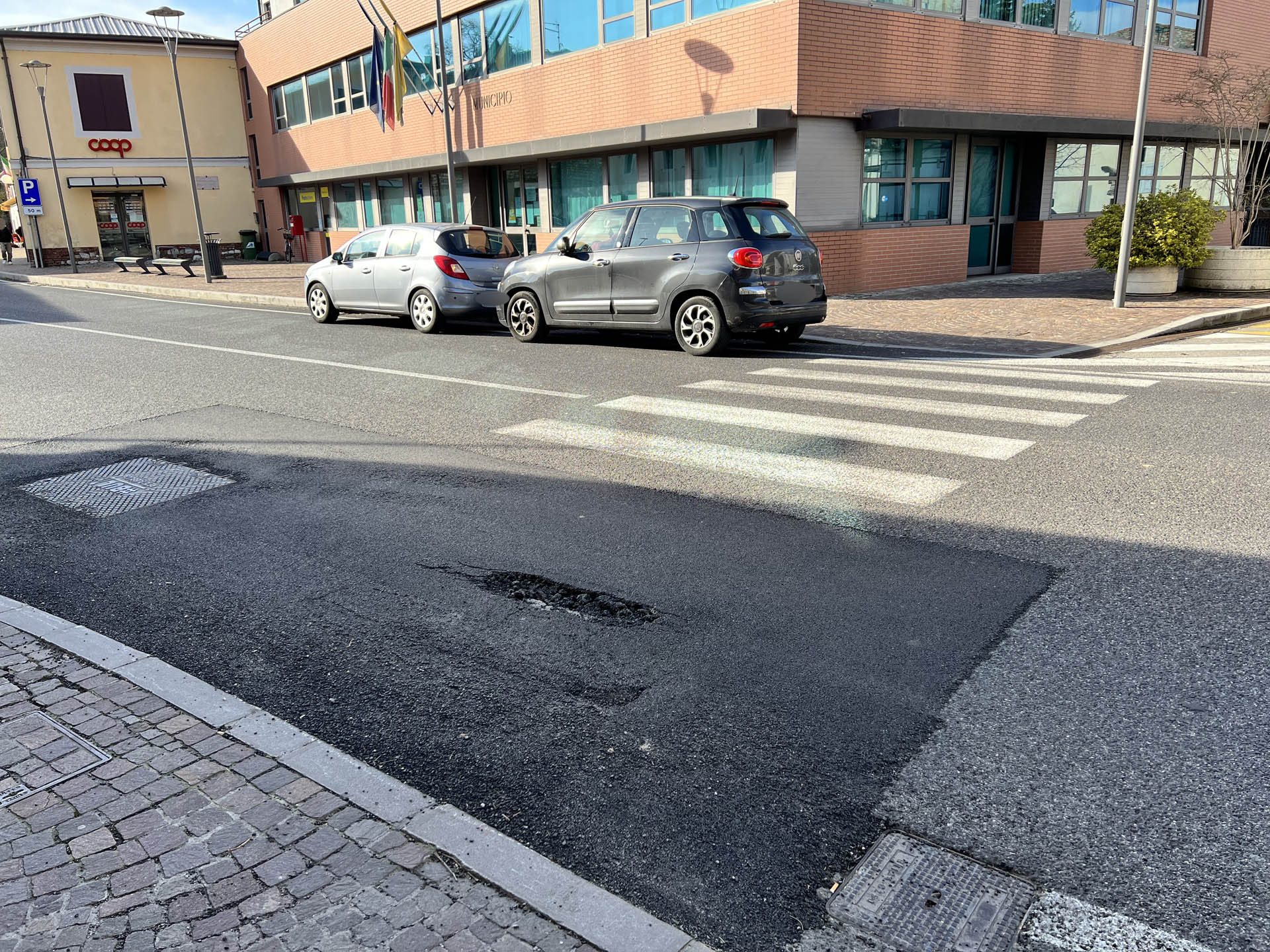
Photo 55 - Pedestrian crossing on SP8
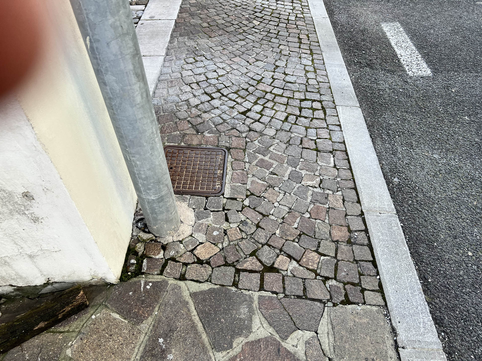
Photo 56 - Sidewalk narrowing due to light pole
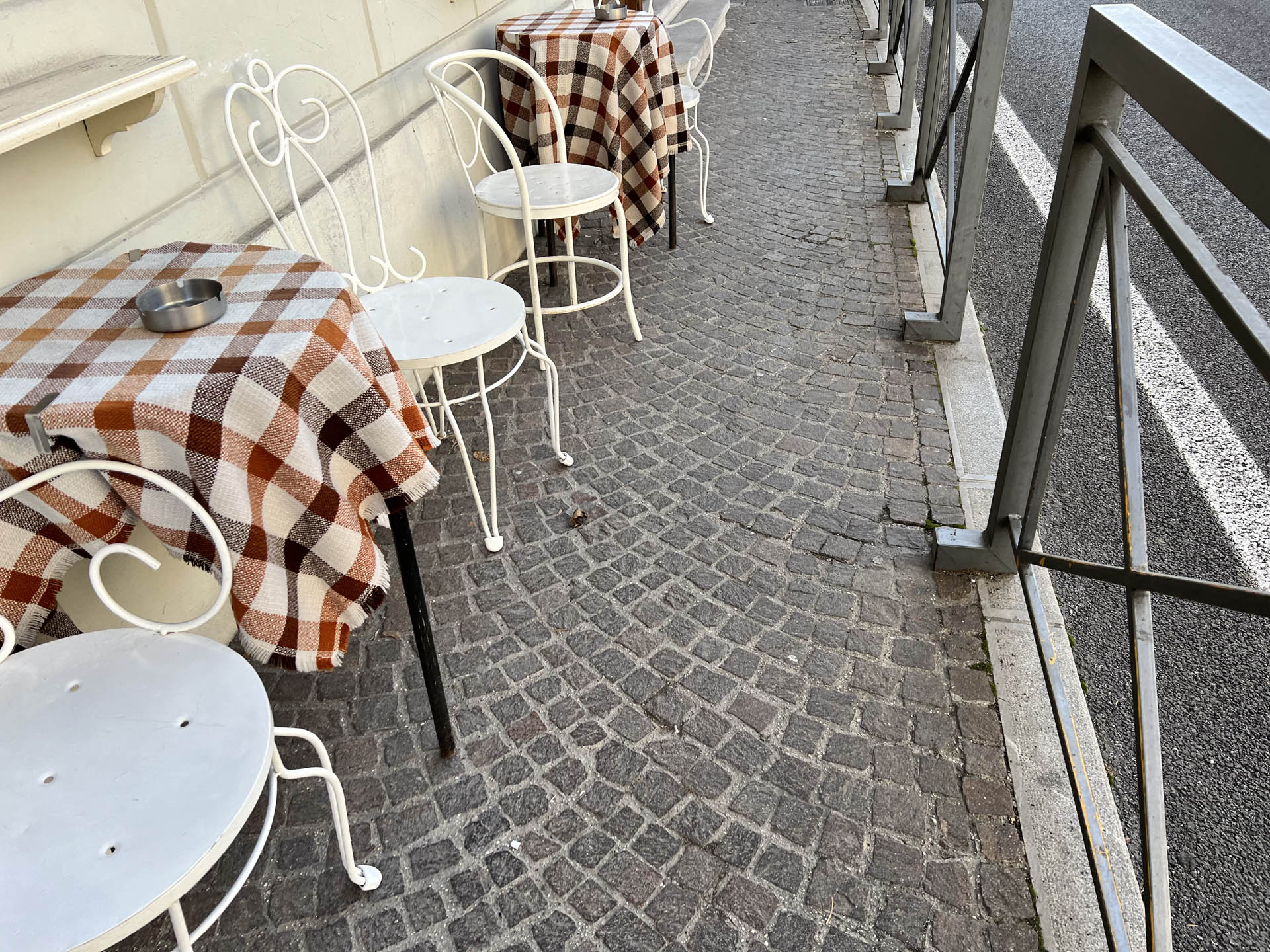
Photo 56 - Sidewalk narrowing due to tables and chairs
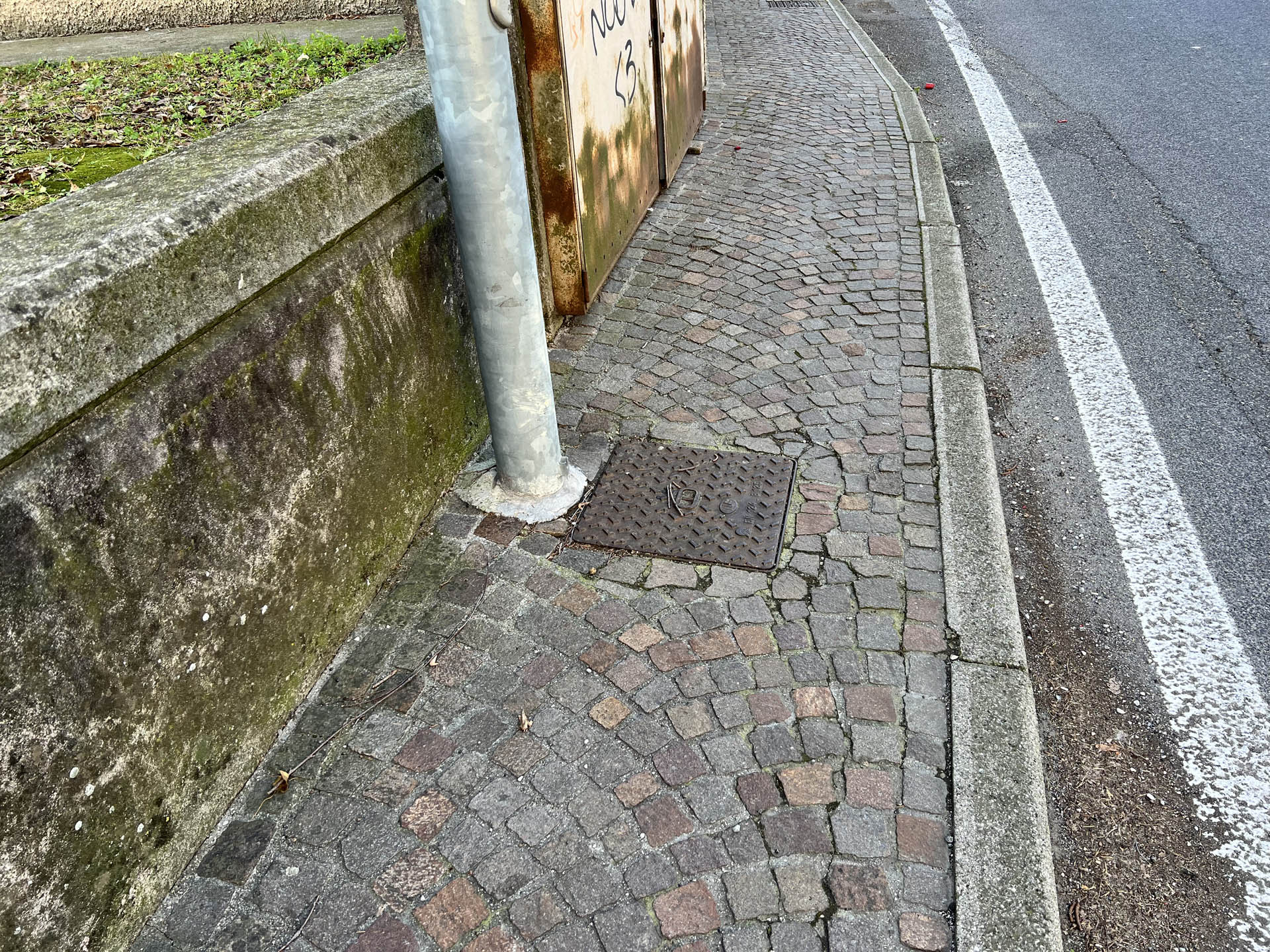
Photo 58 - Sidewalk narrowing due to light pole