Azzano Decimo - FVG in motion 10 thousand steps of health

Plain
GENERAL INFORMATION
LAST INSPECTION DATE
25/03/2024
PLANNED ITINERARY
Azzano Decimo - FVG in motion 10 thousand steps of health
LENGTH
5779 meters
DEPARTURE
Via Divisione Julia
The complete Path consists of 3 Circuits
which can be distinguished by type and carried out separately:
-
A circular path in the area of the "Basic Sports Center" where a route is marked on a gravel path of about 1.2 km with a comfortable homogeneous shape (a very used route for jogging) that runs alongside several sports fields (soccer, baseball/softball), tennis, basketball...) equipped with benches and also several outdoor fitness exercise machines.
-
An urban path that starts from the same point and extends along the cycle-pedestrian path, sidewalks, and squares of the city, with numerous pedestrian crossings regularly accompanied by ramps and crosswalks and many indicator signs (see photo) for a length of about 3.5 km.
-
At a certain point in the urban path (about 1.8 km) the “Dote Circuit” is inserted, a walk of about 900 m that includes a paved linear section and a linear unpaved section (also used for the return, which gives access to a larger green area) and a short loop section with natural or gravel ground.
Access:
Near the Palazzetto dello Sport, on via Divisione Julia, there is a descriptive sign of the 10,000 steps of health paths.
Nearby there are some parking lots: one near the Kindergarten, another on the path of the Palazzetto dello Sport, and finally several other parking lots on the opposite via Monticco
On this occasion, not following the order presented on the sign, we first followed the urban path (2°) in which we included the short Dote path (3°) and finally, to conclude, we carried out the Sports Center path (1°)
Path 2 (first part).
We start from the descriptive Sign(Photo 0), located near the Palazzetto dello Sport (via Divisione Julia) and cross the road, as indicated by the signs (regularly present throughout the urban path), to continue on via Monticco (Photo 1).
The cycle-pedestrian path in this section has a paved bottom; it crosses pedestrian crossings and finally continues left on via Vallares (the necessary crossings - stripes and signs on the signs are always present (see e.g. details Photo 2).
We pass from via Vallares to via Manias (Photo 3).
The cycle-pedestrian section ends and continues on the sidewalk. A little further on, turn right onto via Pezzut (Foto 4).
In two points of the path (details Photo 5), the sidewalk has ramps with a height difference of a few centimeters.
After via Pezzut, continue left on via dei Gelsi (Foto 6).
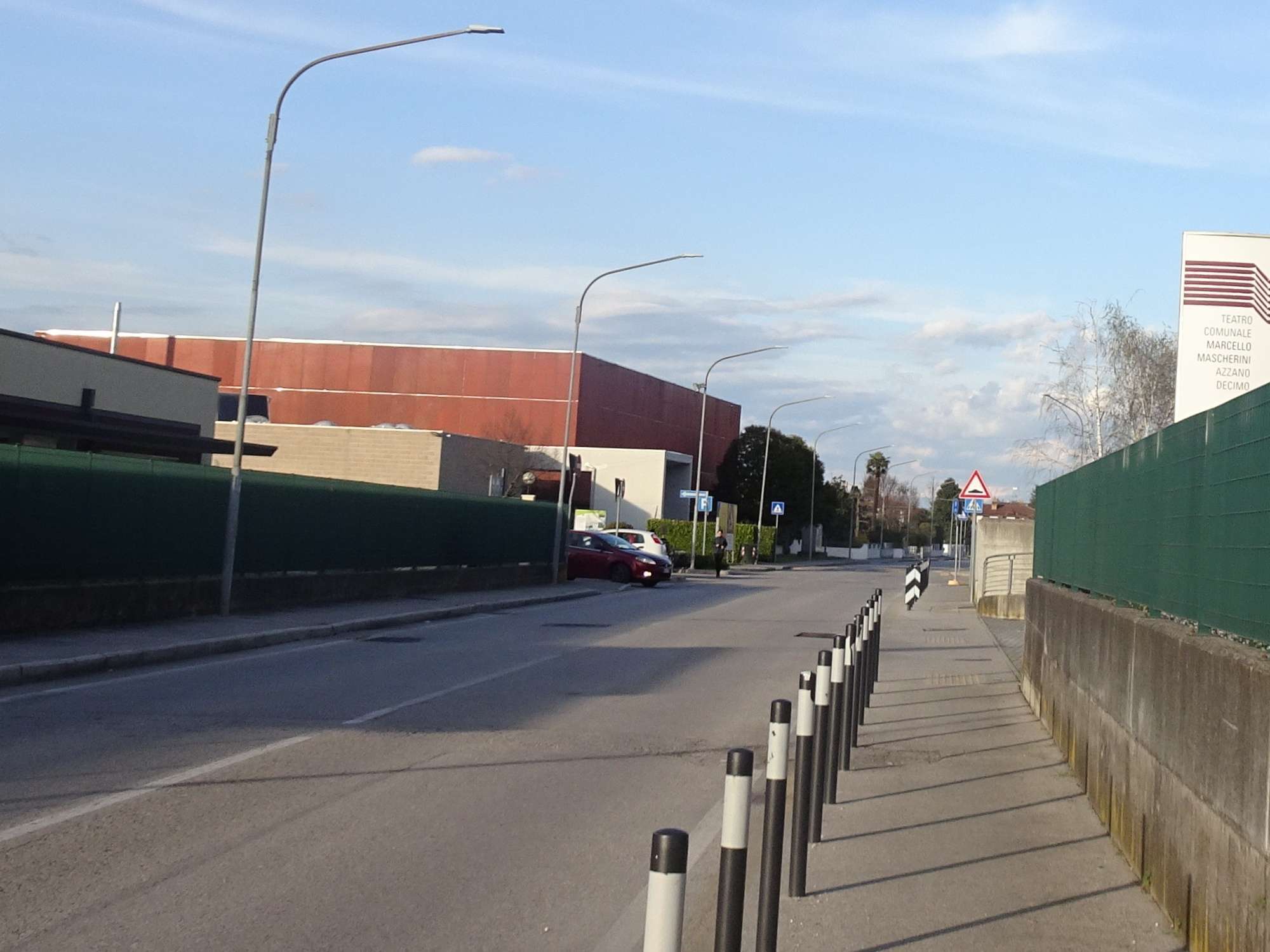
Photo 0 - Sports Hall, via Divisione Julia
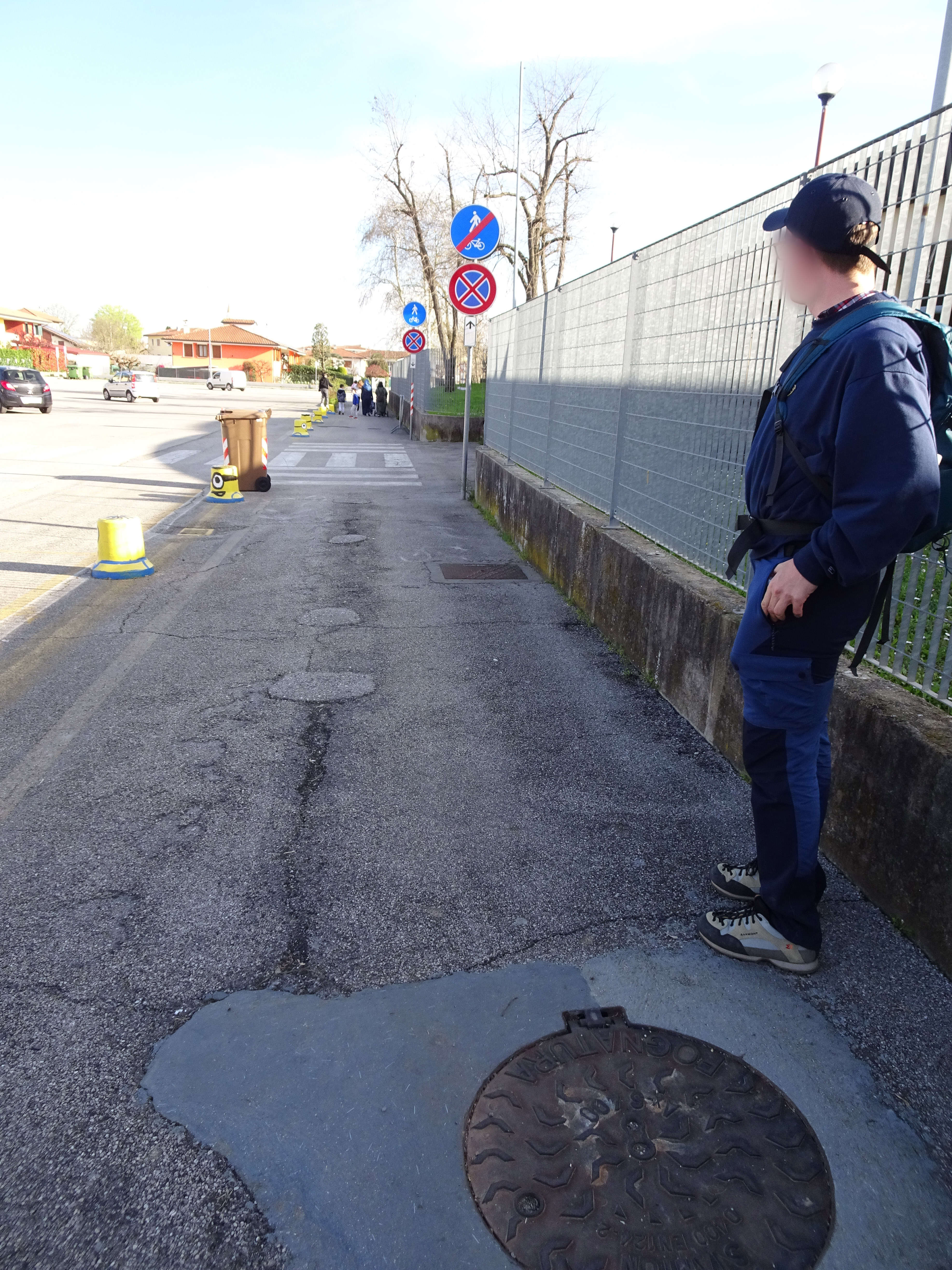
Photo 1 - Via Monticco, paved road
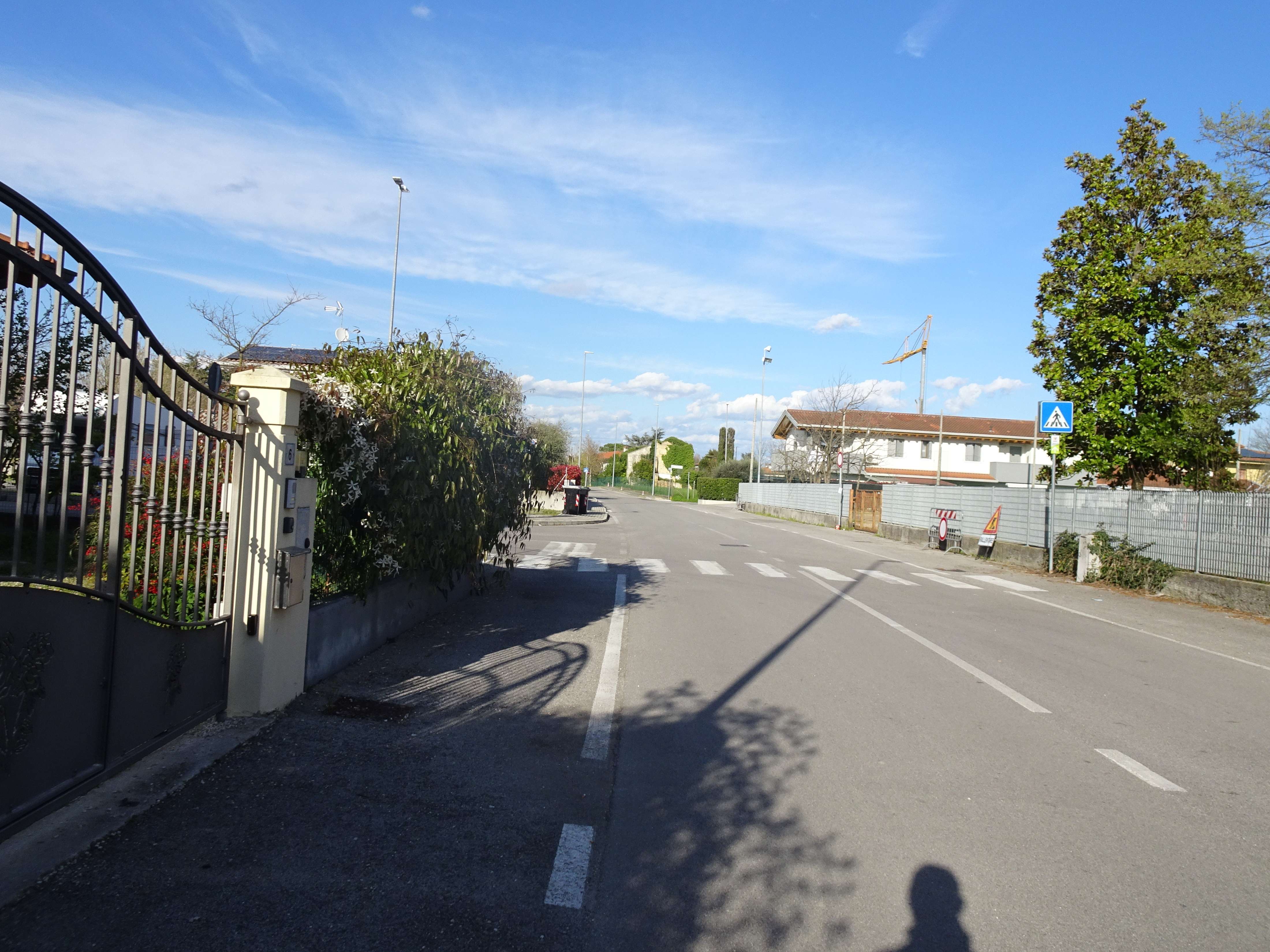
Photo 2 - Pedestrian and cycling path on paved ground
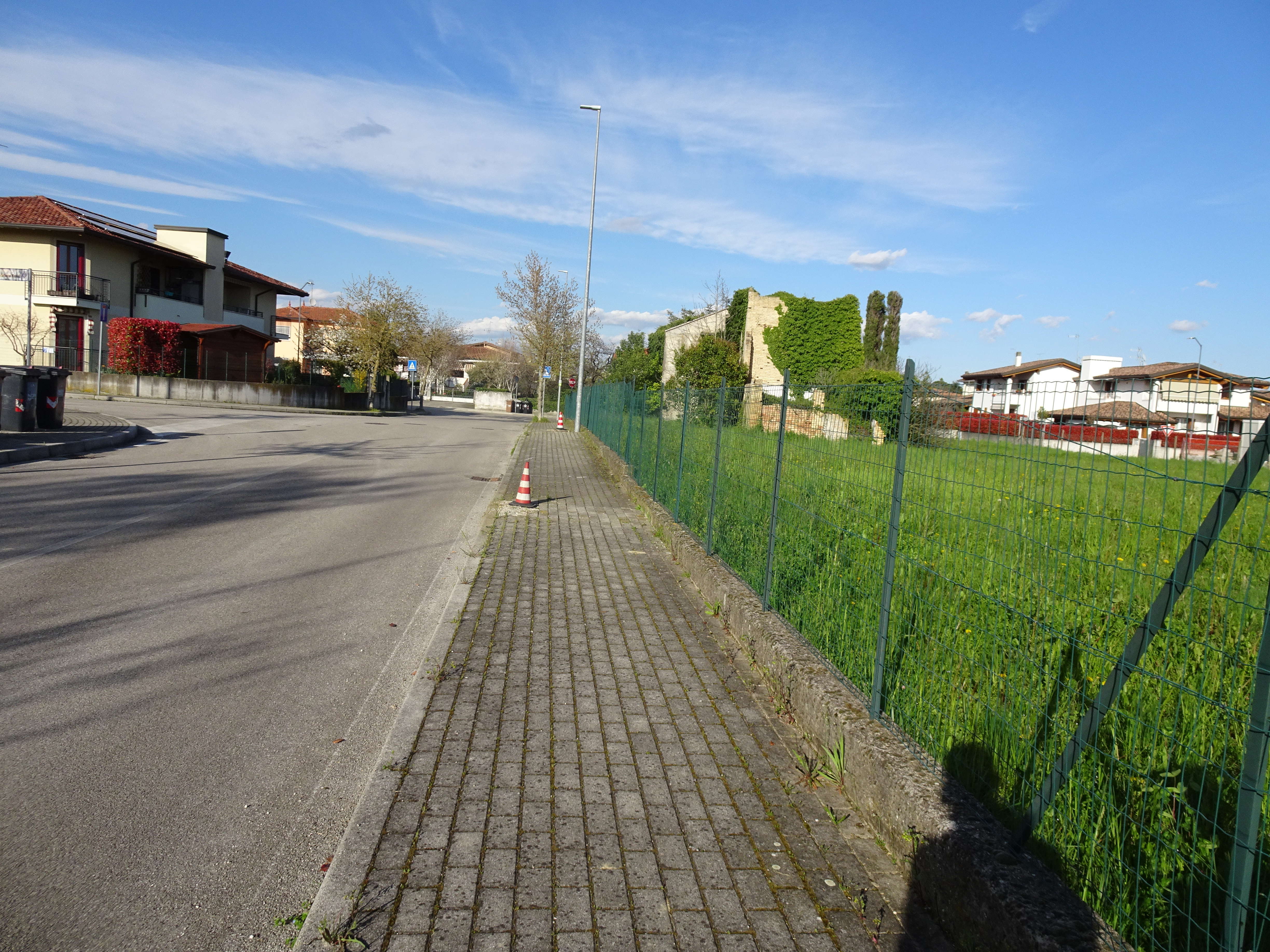
Photo 3 - Via Manias, the path continues on the sidewalk
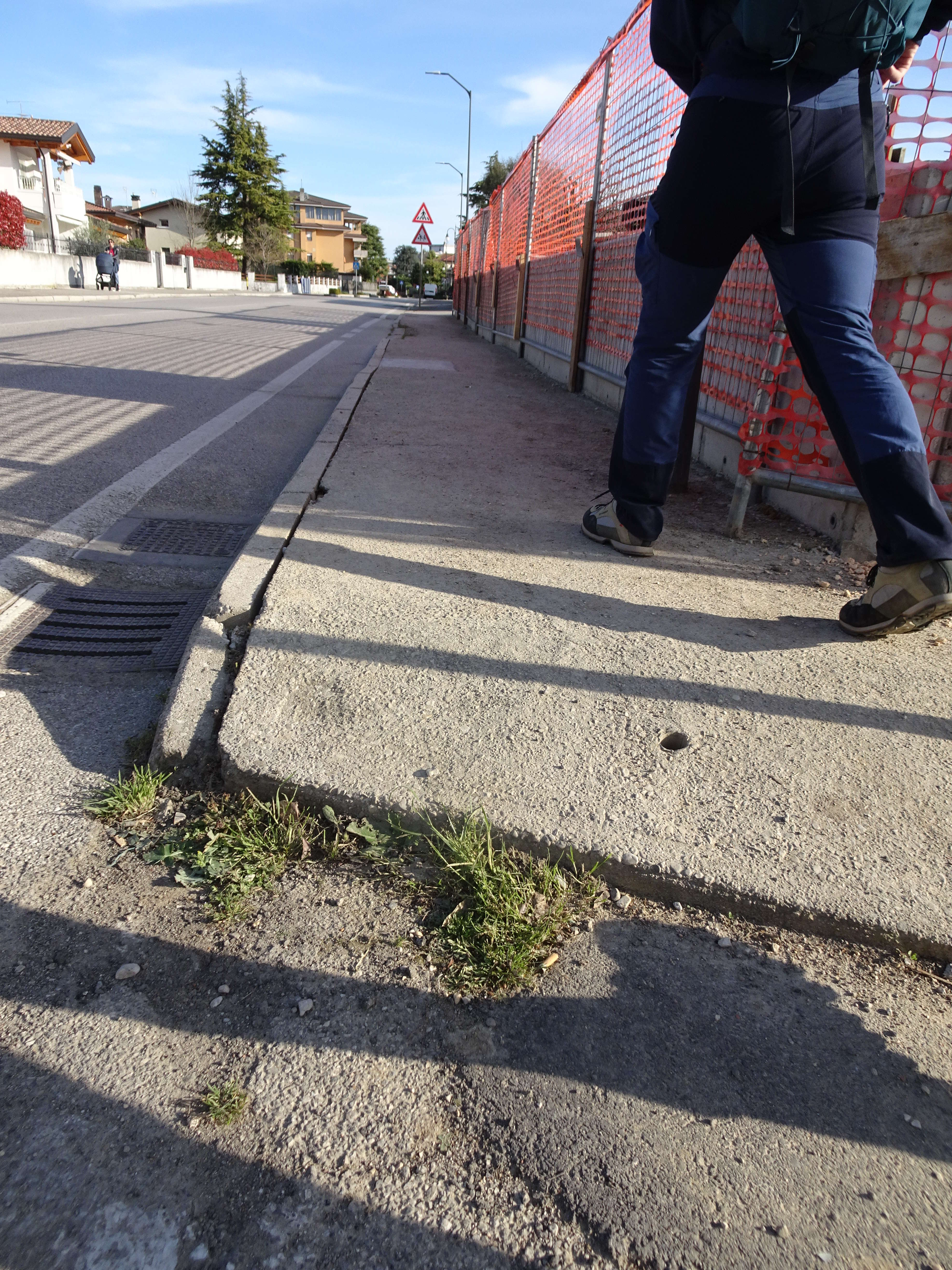
Photo 4 - Sidewalk on via Pezzut
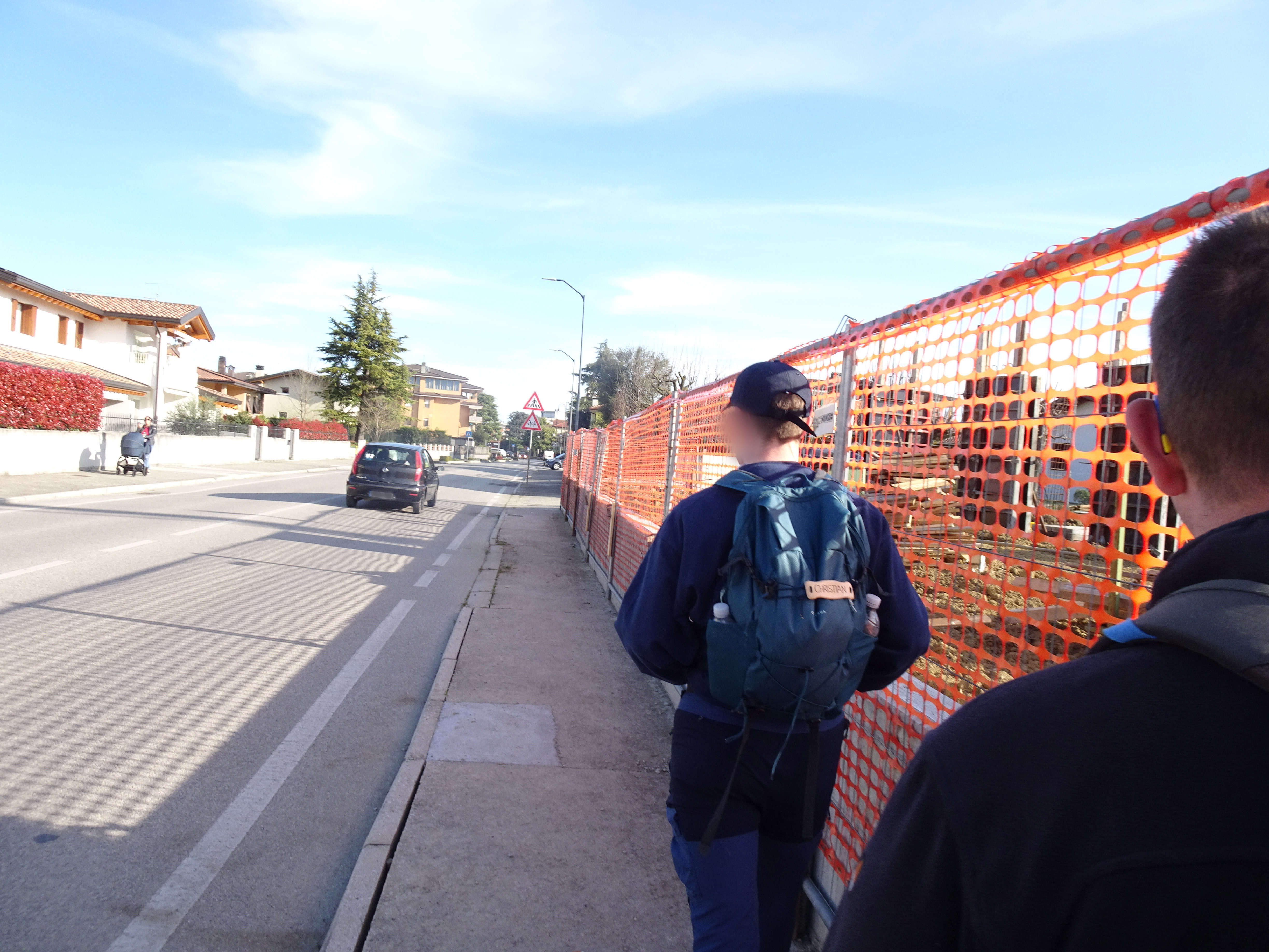
Photo 5 - Sidewalk with ramps with a few cm of elevation difference
Photo 6 - Sidewalk on via dei Gelsi
The road makes a double curve (photos 7 and 8) and after a long straight stretch (Photo 9) è necessary to turn into via del Olmi (the arrow sign is visible on the right) (Photo 10) – in this stretch you are about 1 km from the start.
Upon reaching the intersection with via dei Faggi (Photo 11) you must turn right – as indicated – to make a safe crossing: after a few meters on via dei Faggi you cross and turn left. A few meters further, following another crossing, you turn right, resuming via degli Olmi (Photo 12).
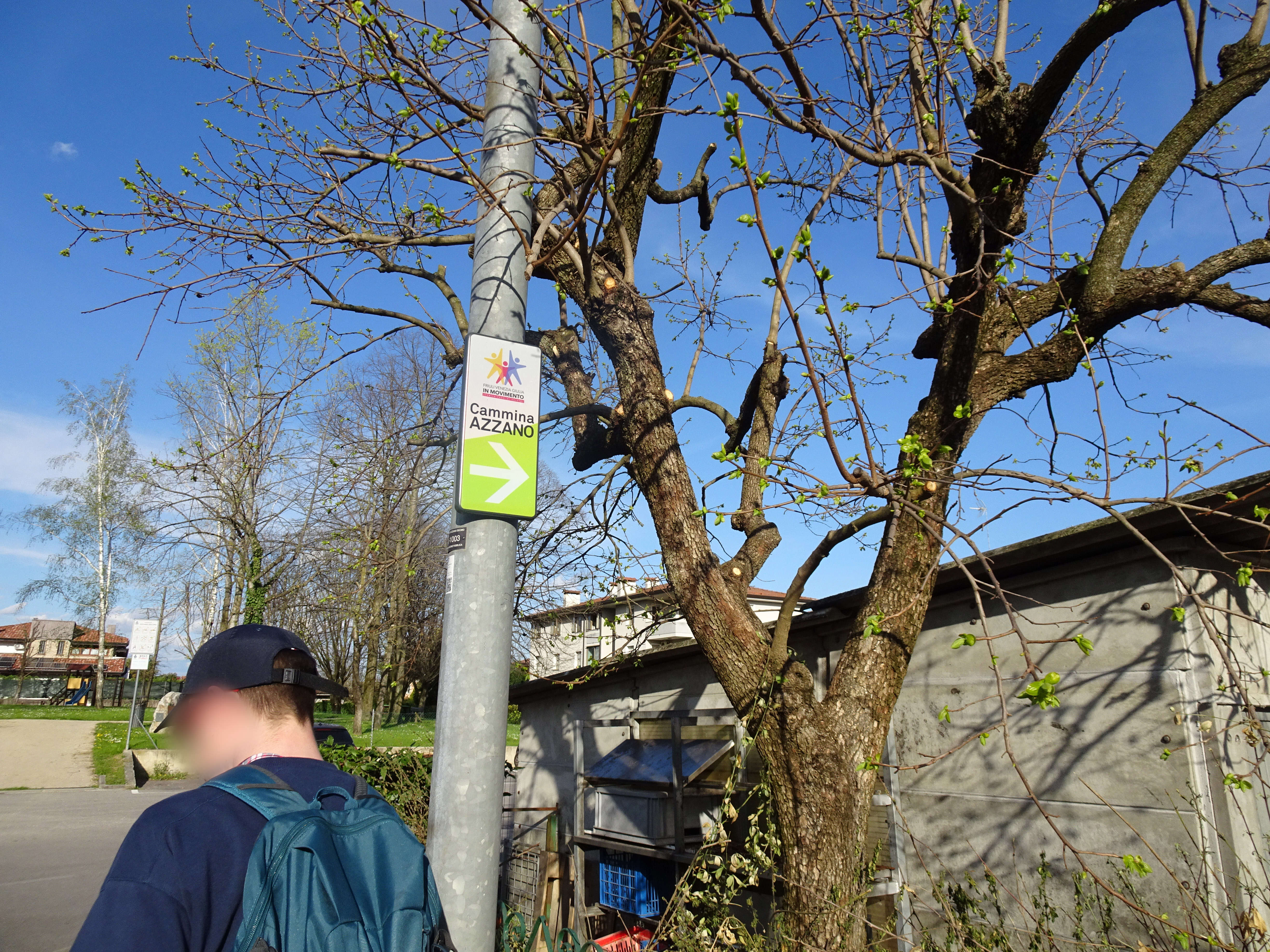
Photo 7 - The path indicator sign shows a curve
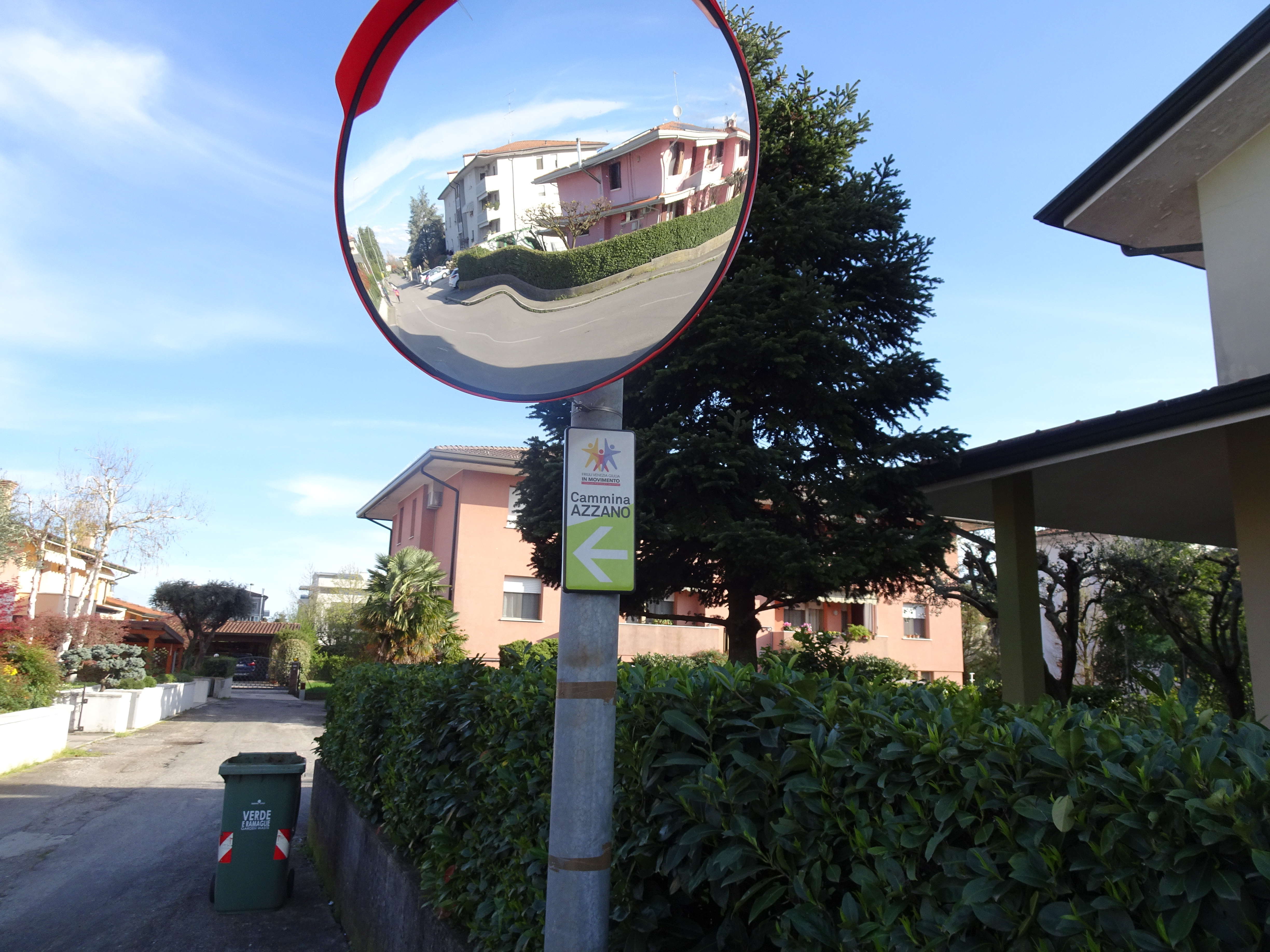
Photo 8 - The path indicator sign shows a curve
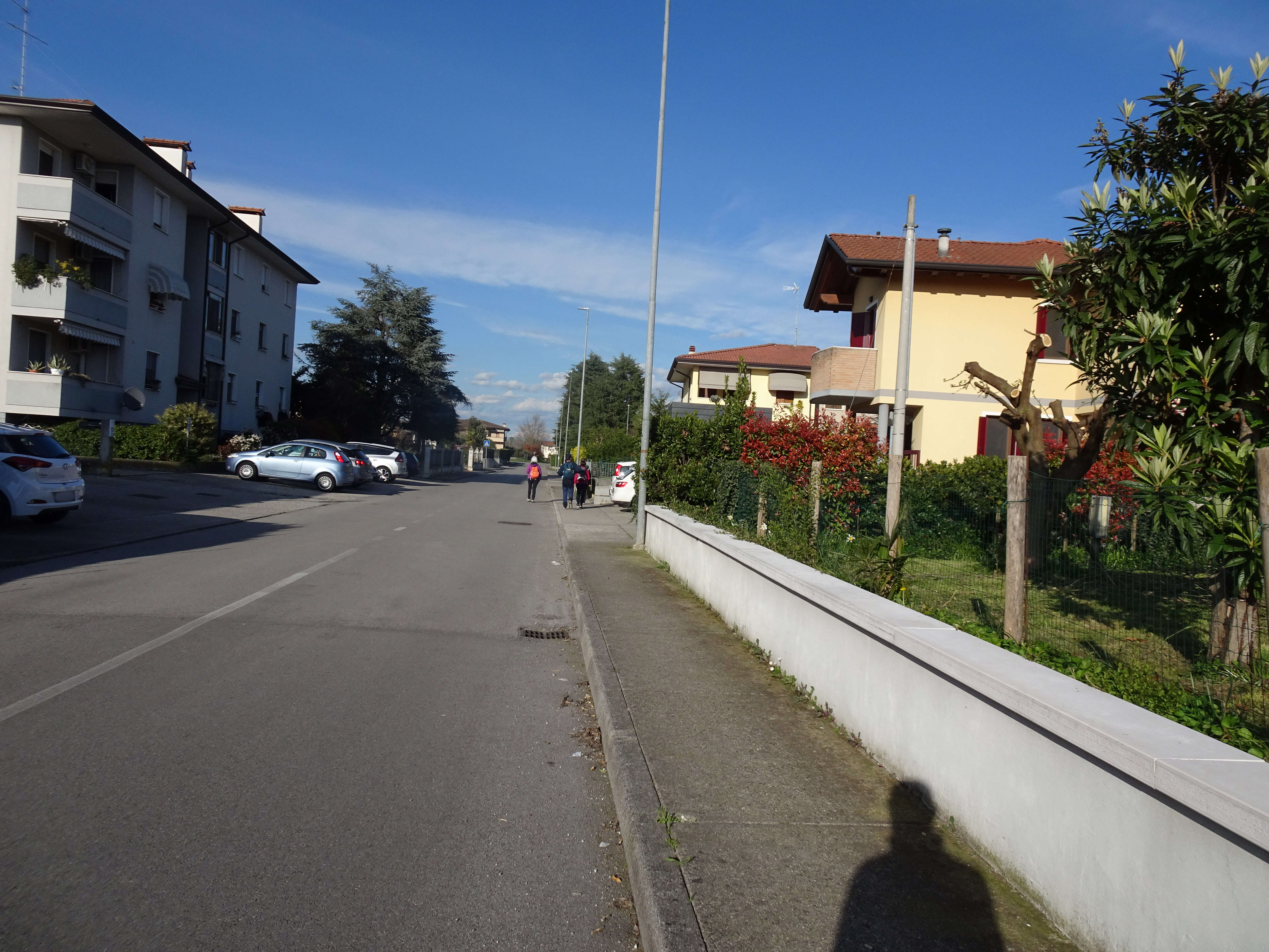
Photo 9 - Long straight section on the sidewalk
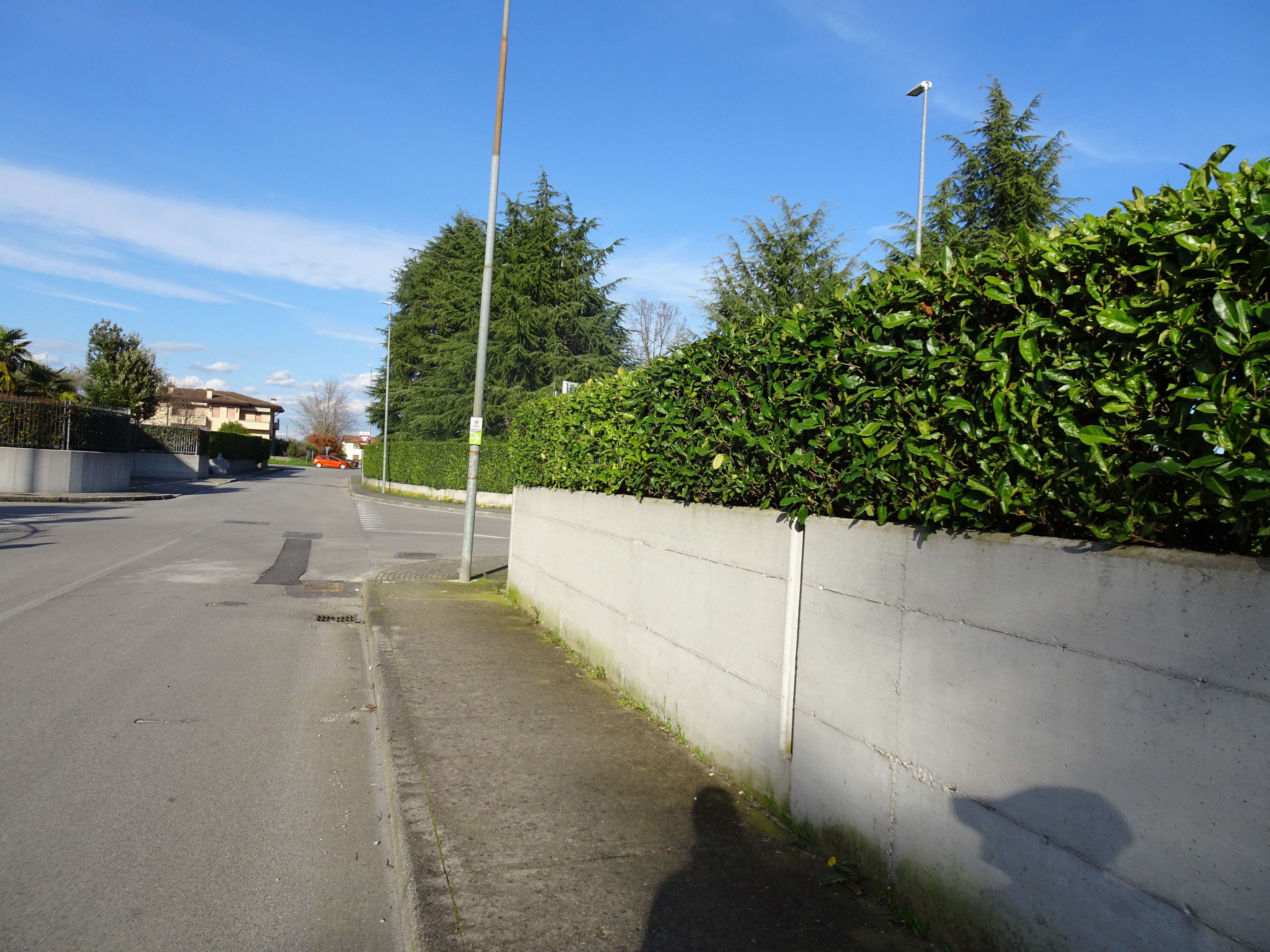
Photo 10 - Sidewalk on via degli Olmi
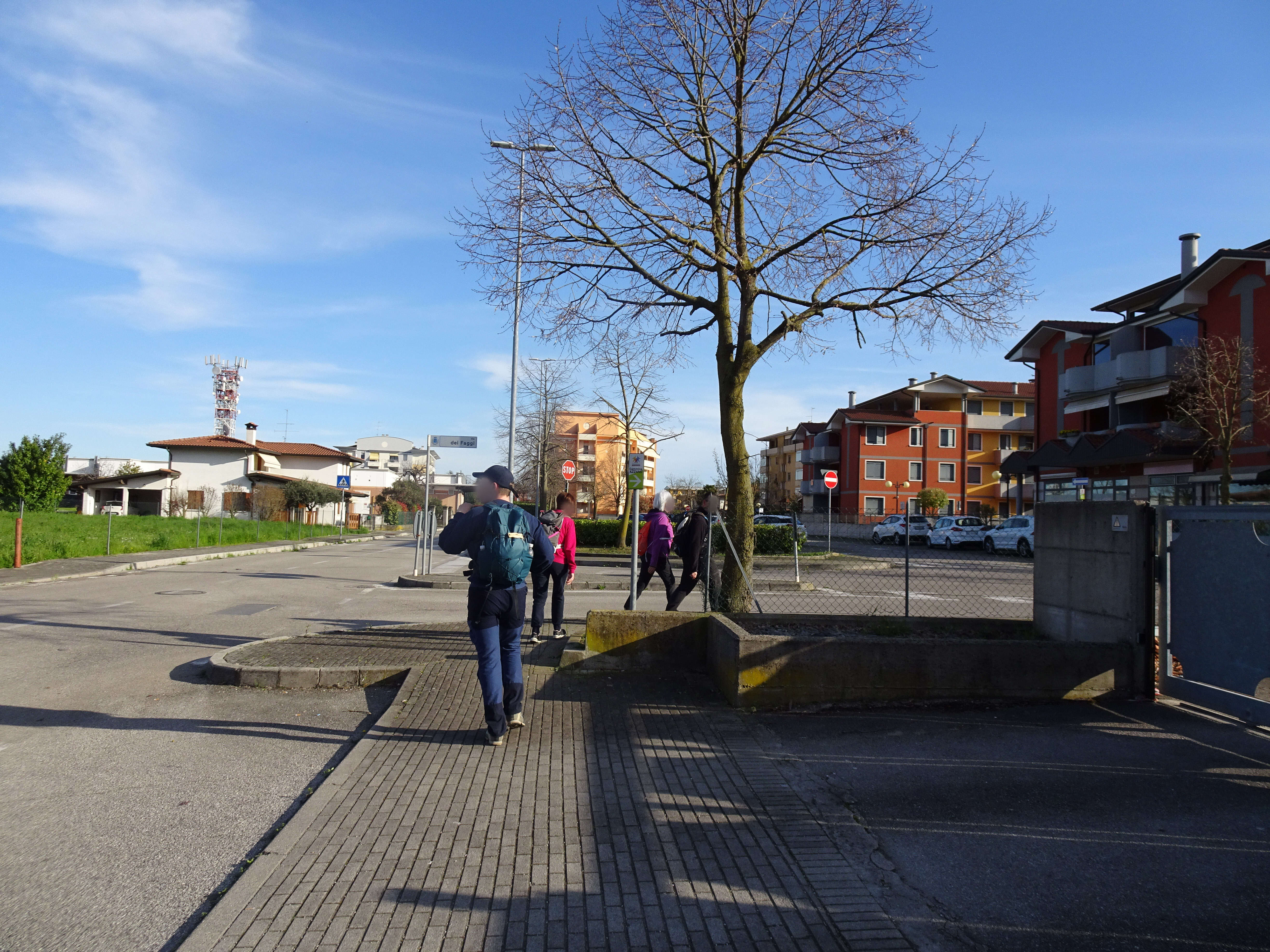
Photo 11 - Turn right at the intersection with via dei Faggi
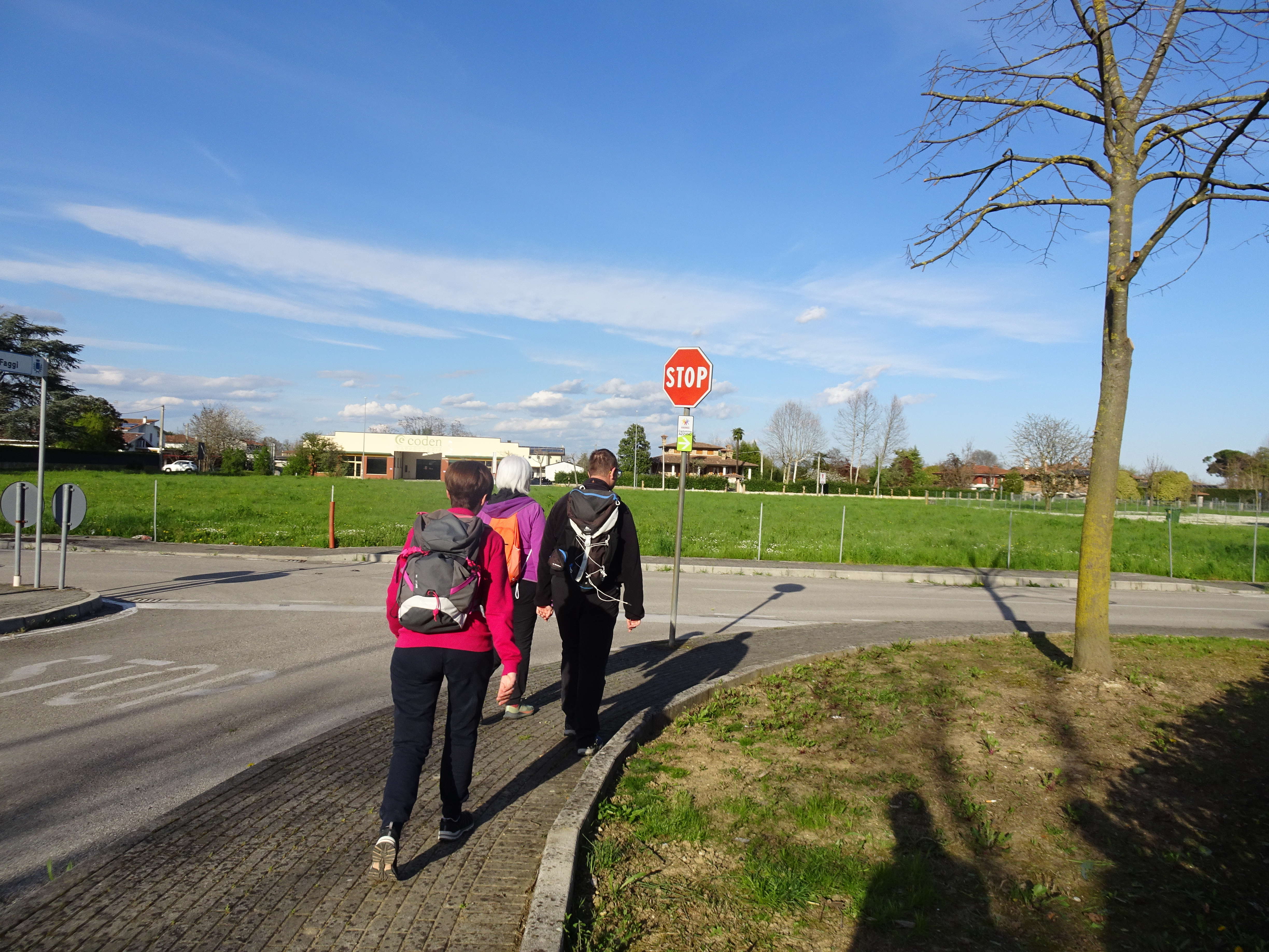
Photo 12 - Turn right to resume the path on via degli Olmi
Continuing, there are other slightly shifted crossings (photo 13), until reaching an intersection where you turn left onto Via Verdi, where there are other pedestrian crossings in line (Photo 14).
The urban roads here have a fair traffic density, so you need to pay attention during crossings.
You continue straight on the sidewalk. Upon reaching the entrance of Piazza Libertà, you follow the indication and turn left into the pedestrian area.
After crossing the square towards the Town Hall, at 1.6 km from the start, you encounter the fountain (Photo 15).
From the Town Hall, you continue to the right as indicated (Photo 16) and leave the pedestrian area, through a slightly downhill stretch (Photo 17), without difficulties, towards the sports field.
After completing the descent and making a crossing, you turn right near the football field. About 1.8 km from the start, on Via U. Saba, there is the sign for the “10 thousand steps FVG” at the beginning of route 3 “of the Dote” (Photo 18).
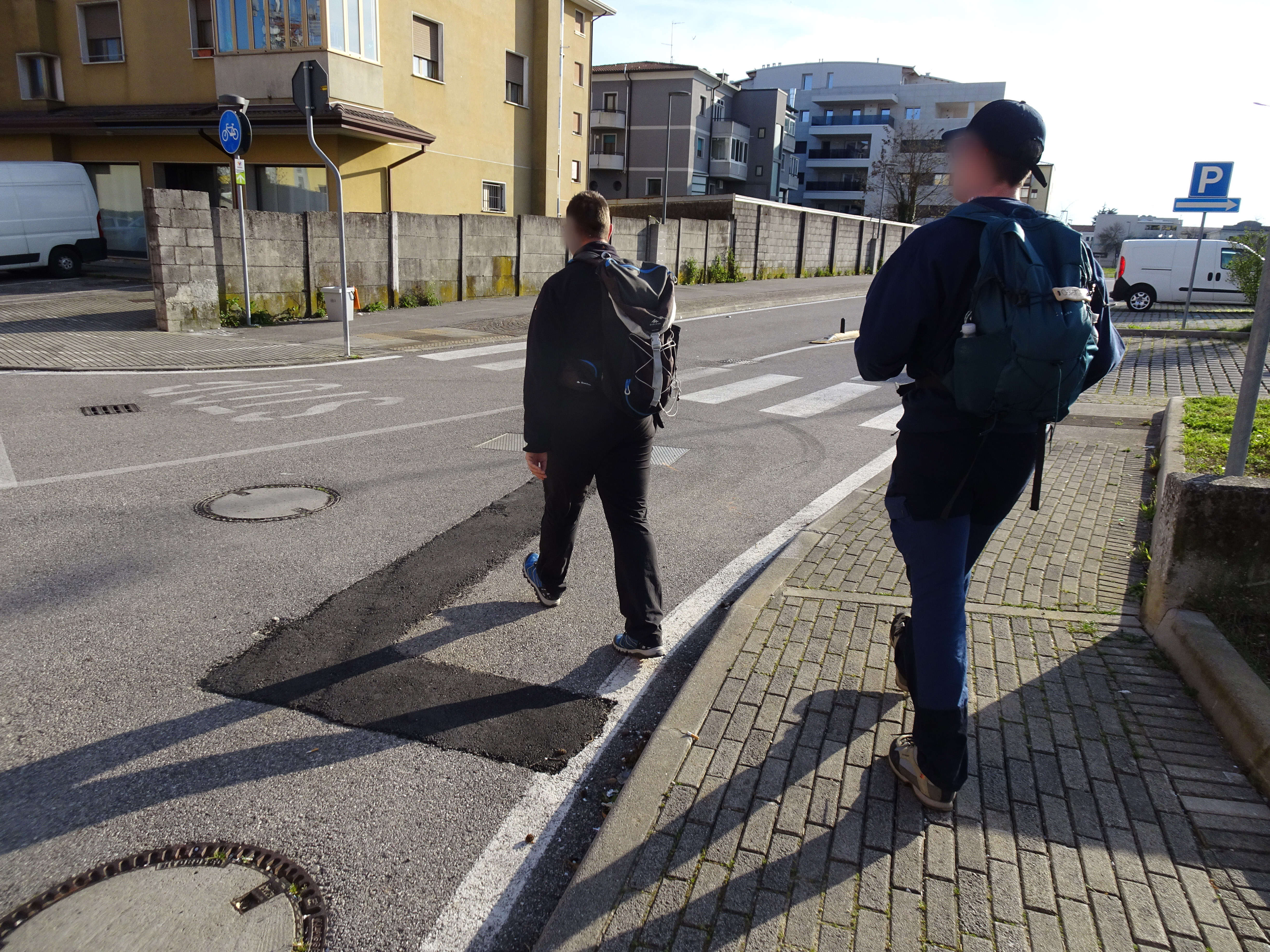
Photo 13 - Pedestrian crossing
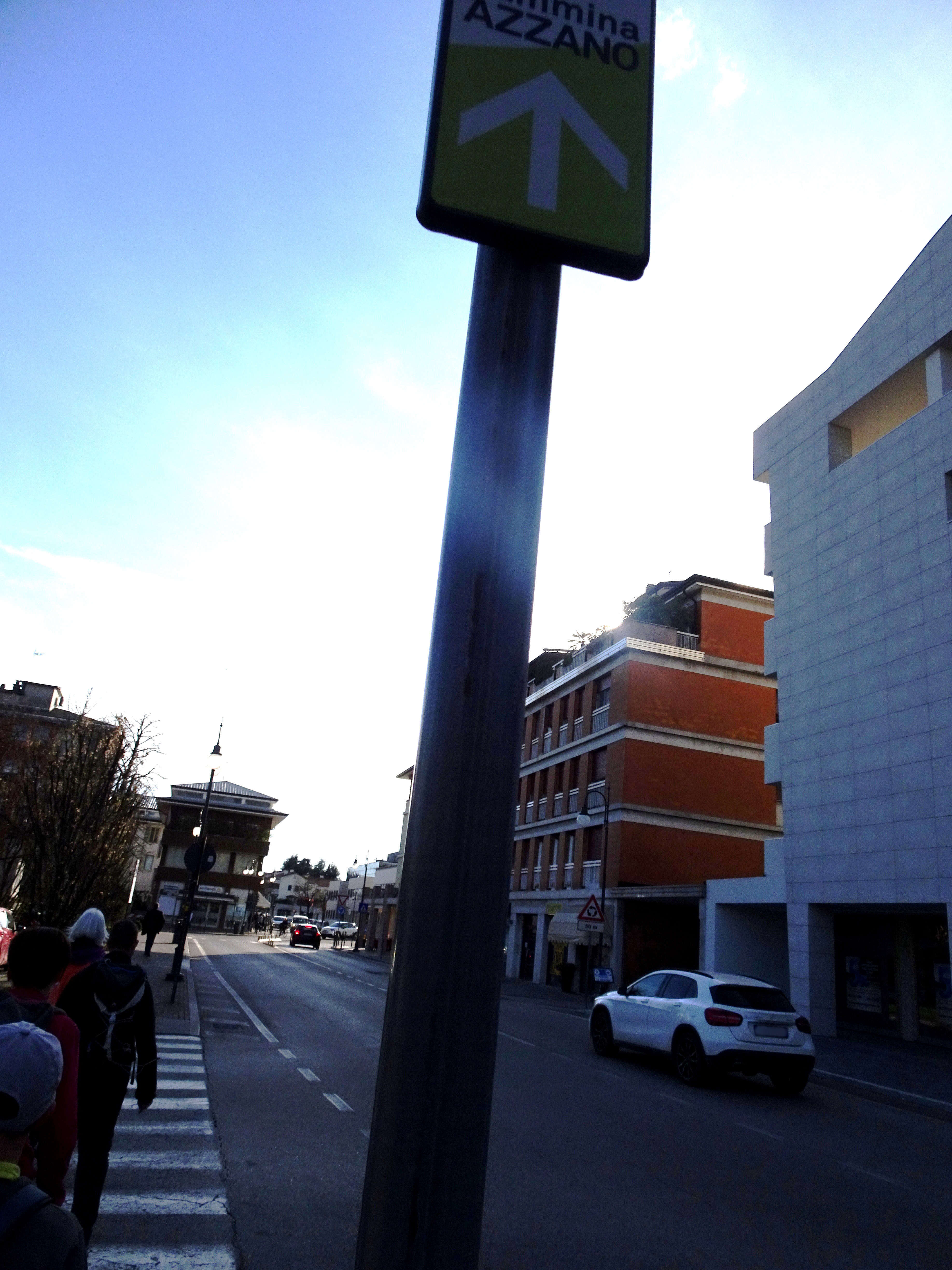
Photo 14 - Pedestrian crossings on Via Verdi
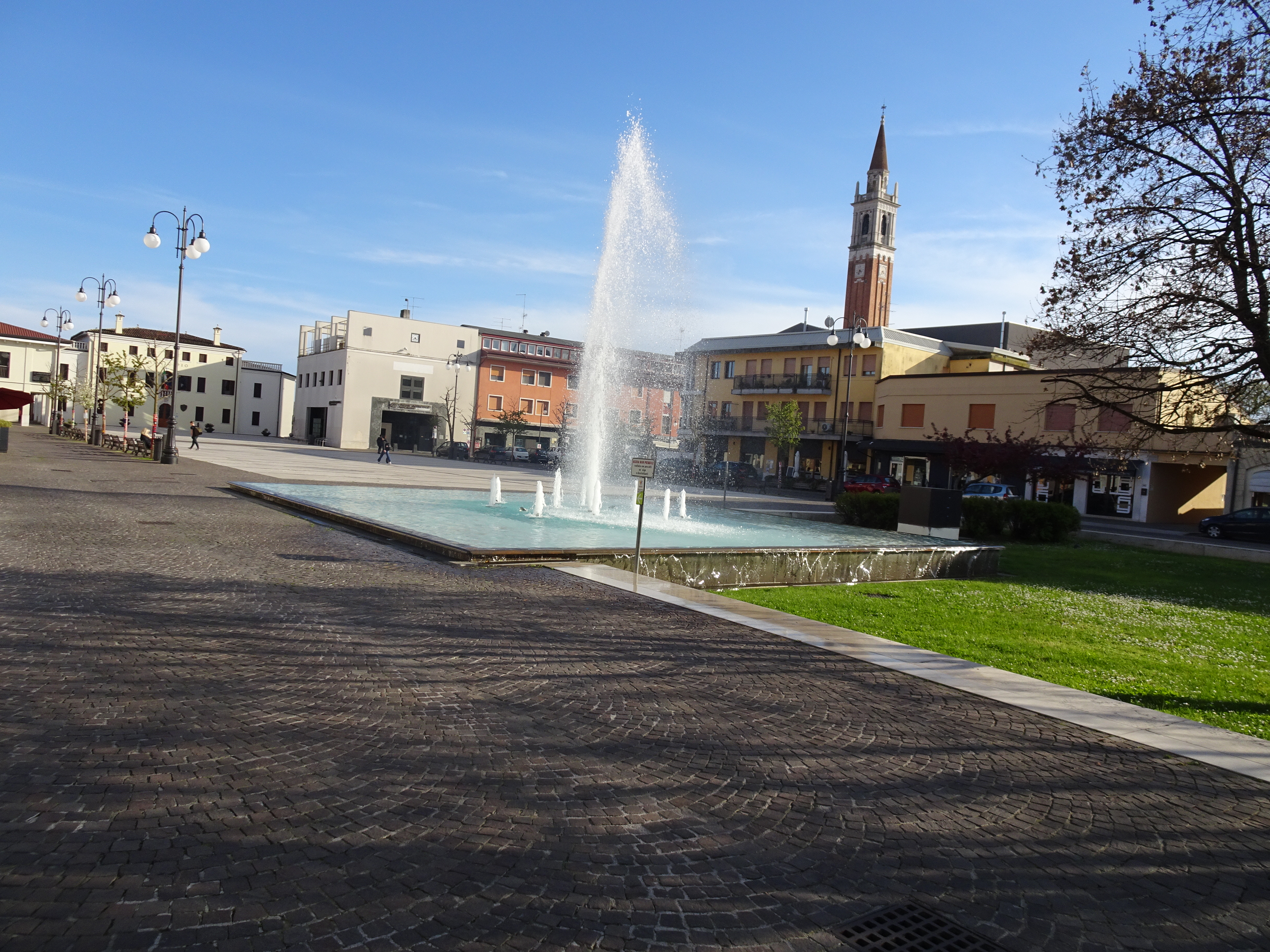
Photo 15 - Square with fountain
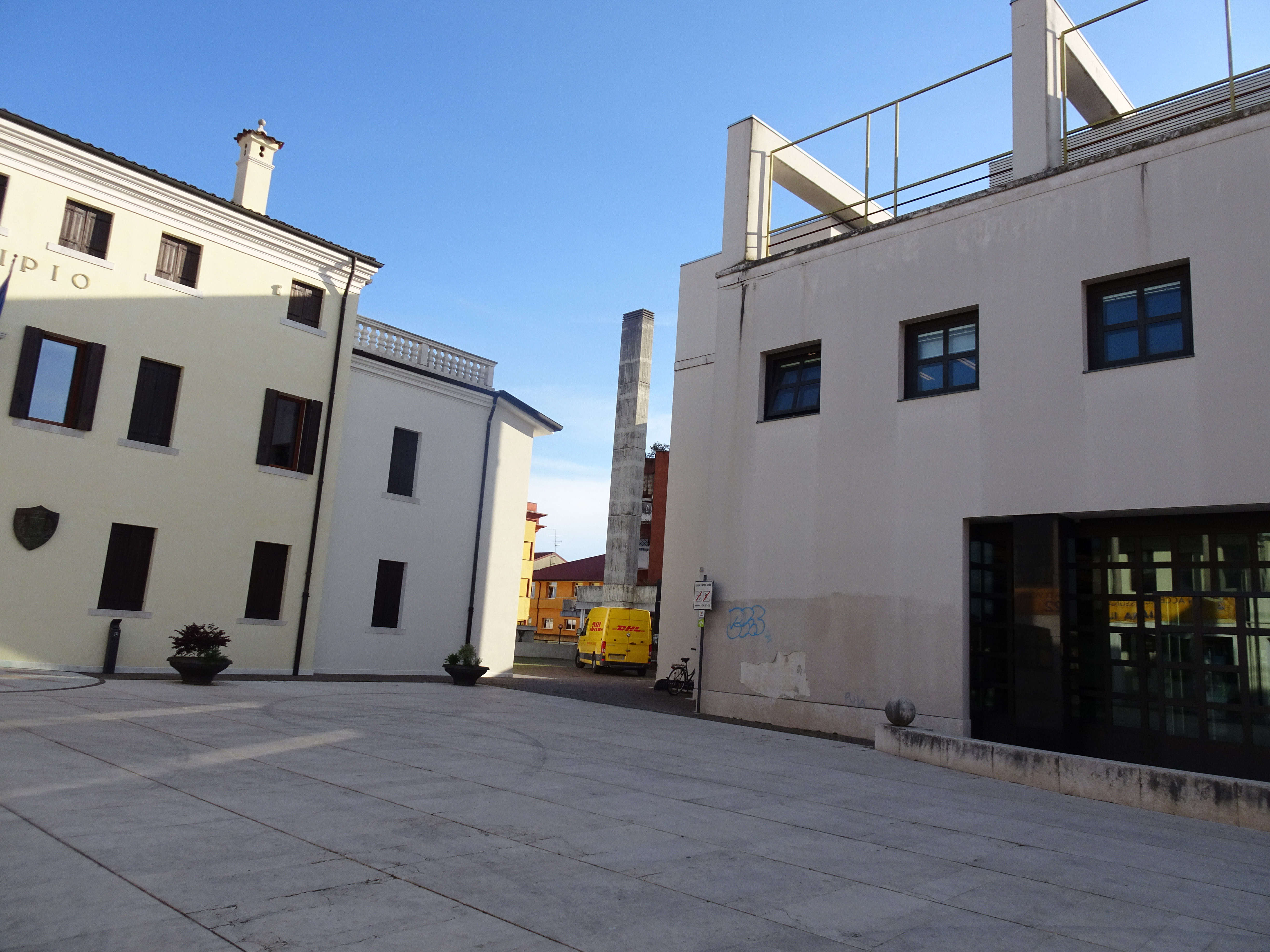
Photo 16 - From the town hall the path continues to the right
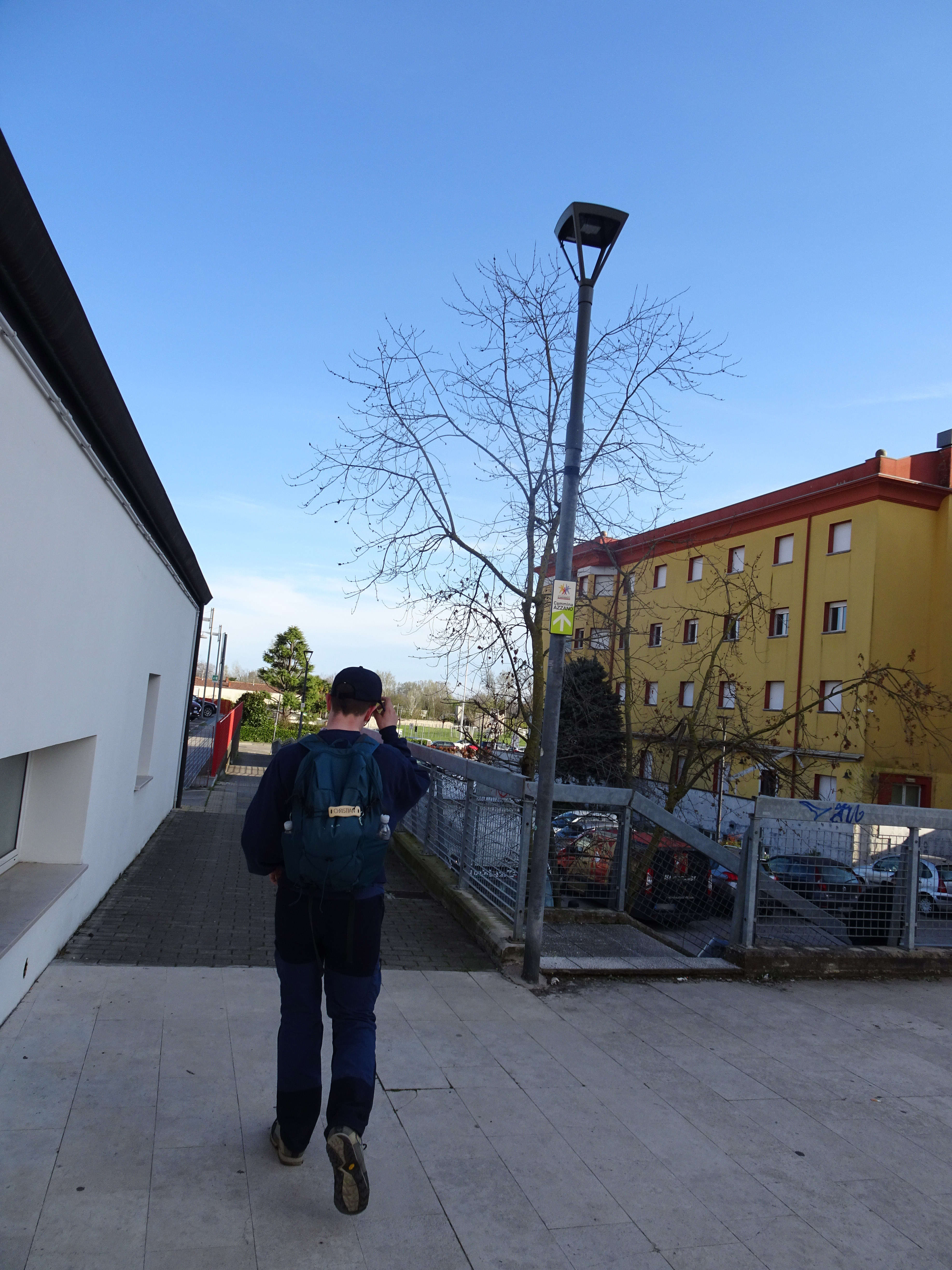
Photo 17 - Slightly downhill section towards the sports field
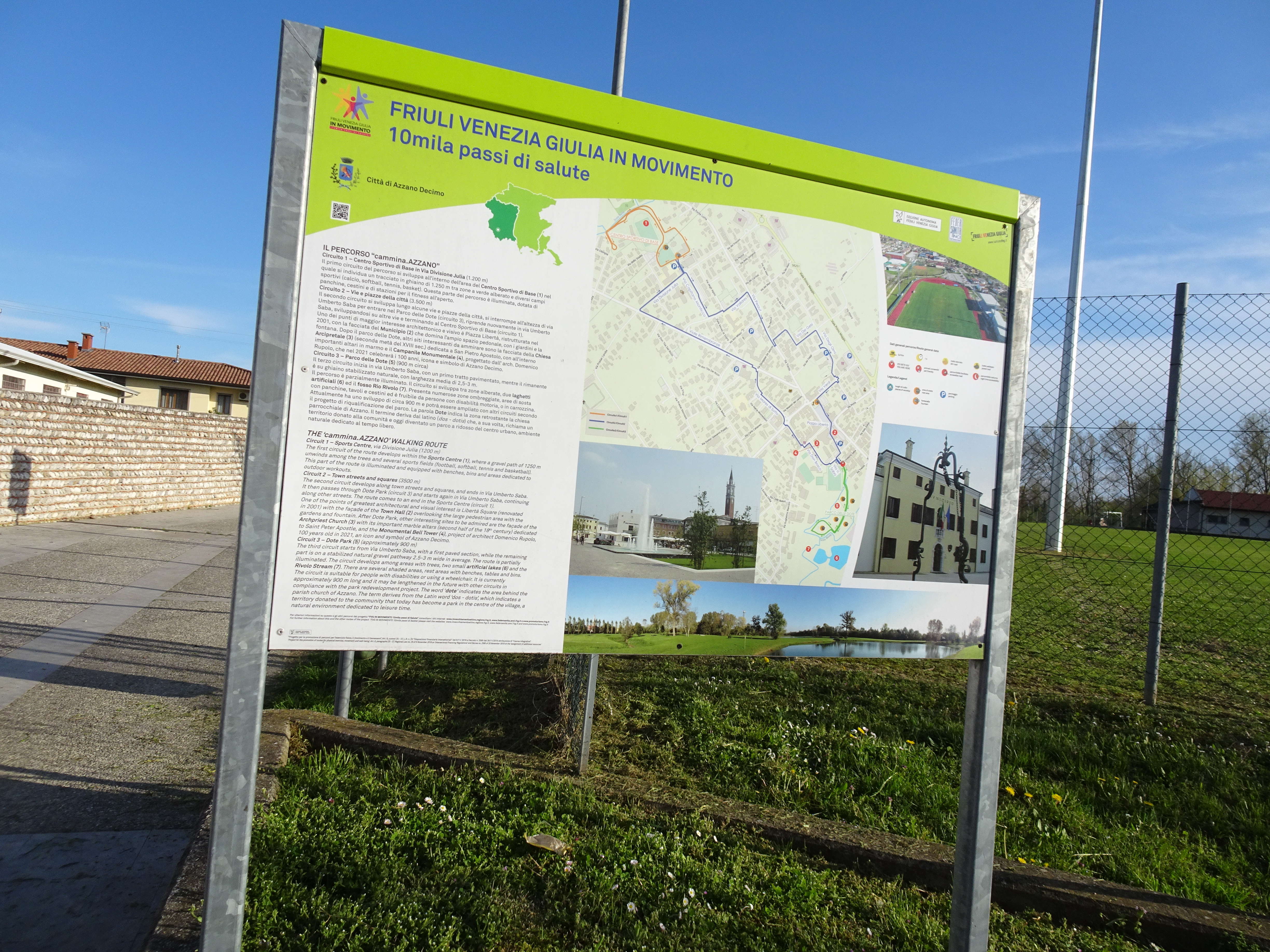
Photo 18 - Informative sign of the path
Percorso 3.
Ora si inserisce il percorso indicato come percorso 3° nel cartellone (percorso della Dote, vedi foto 18 - 22).
Dopo aver superato il primo ponticello, si gira a destra dove si trova l’indicazione del “Parco della Dote”. Il primo tratto presenta un fondo cementato e lastricato e costeggiato da un muro in pietra (Foto 19) sulla sinistra e dal campo sportivo sulla destra. Il tratto lastricato termina con uno slargo e si prosegue la passeggiata all’interno del parco su vialetti con fondo in ghiaia (Foto 20).
Il Parco della Dote è costituito da numerosi ponticelli in legno ed è attrezzato con panchine e cestini. Attraversato il primo ponticello si svolta a destra e poi a sinistra come da indicazione. Giunti ad un piccolo incrocio si prosegue a destra. In questo tratto non è presente il segnale indicatore dei 10 mila passi. Mantenendo la destra, (Foto 21) si compie un piccolo anello e si ritorna al ponticello sopra menzionato. Il ritorno è previsto sullo stesso tracciato dell’andata, dapprima sul vialetto in ghiaia e poi sul tratto lastricato e cementato (Foto 22).
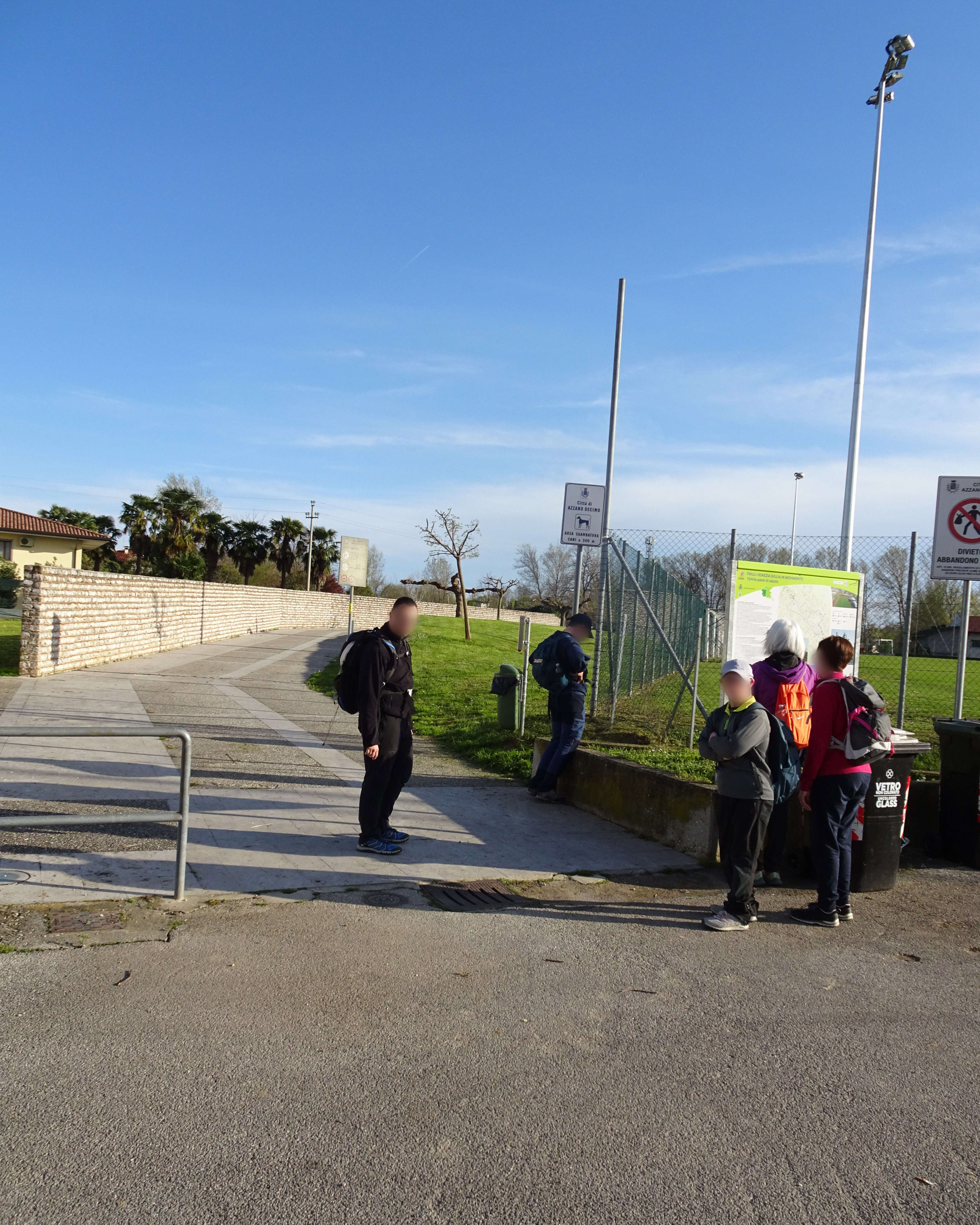
Photo 19 - Section of the path with a cemented and paved surface, bordered by a stone wall
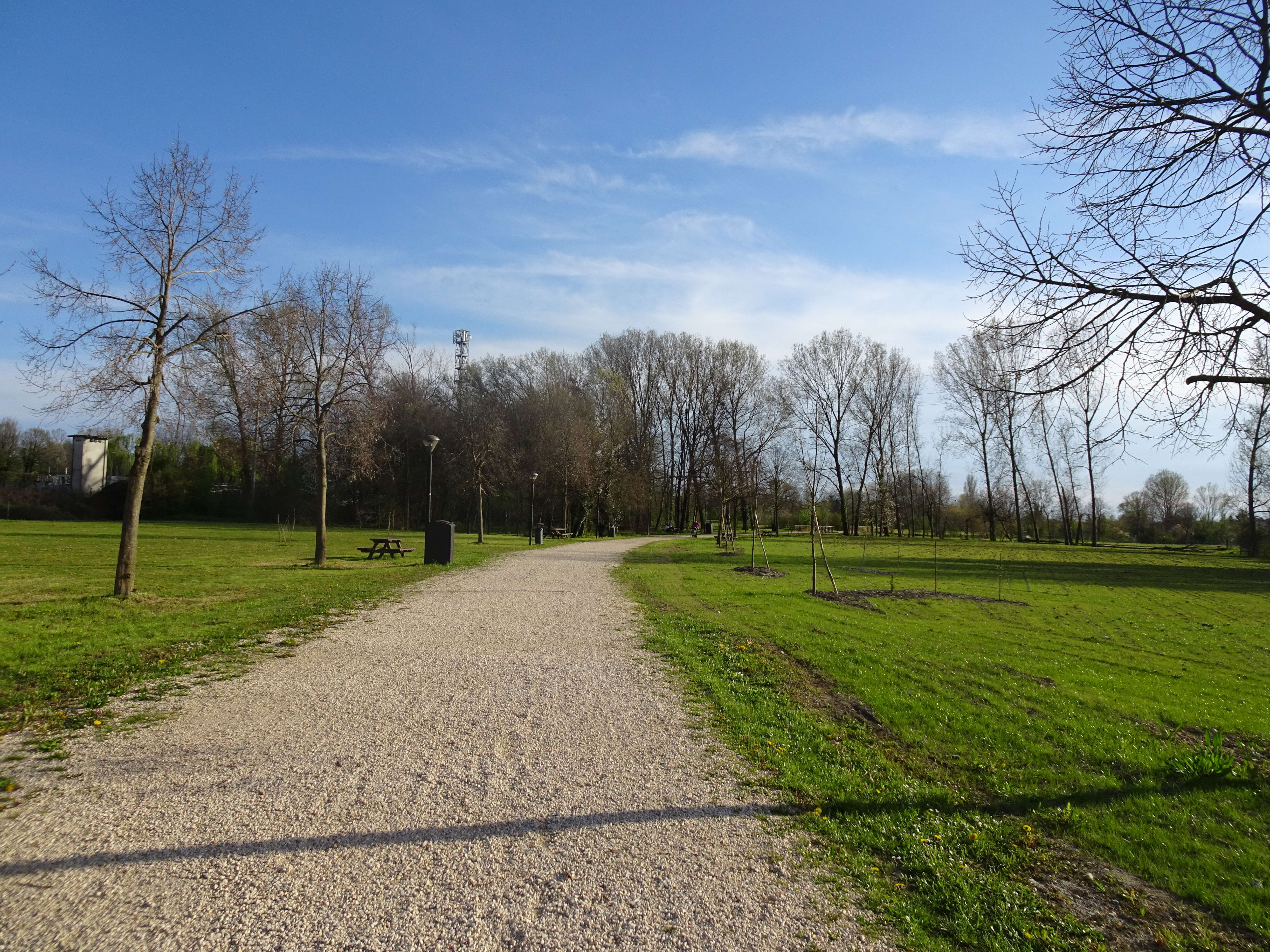
Photo 20 - Pathway with a gravel surface inside the park
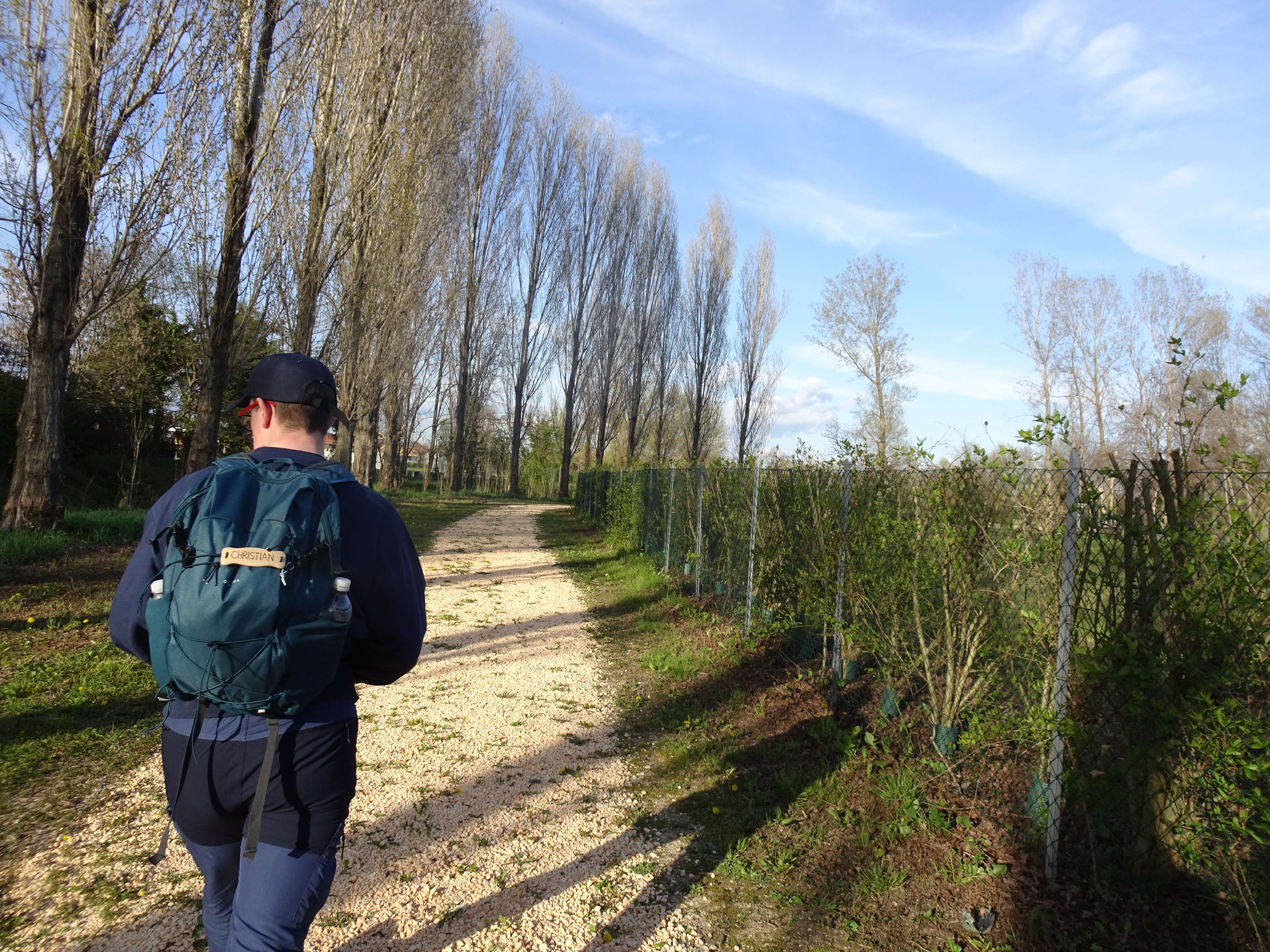
Photo 21 - Gravel path
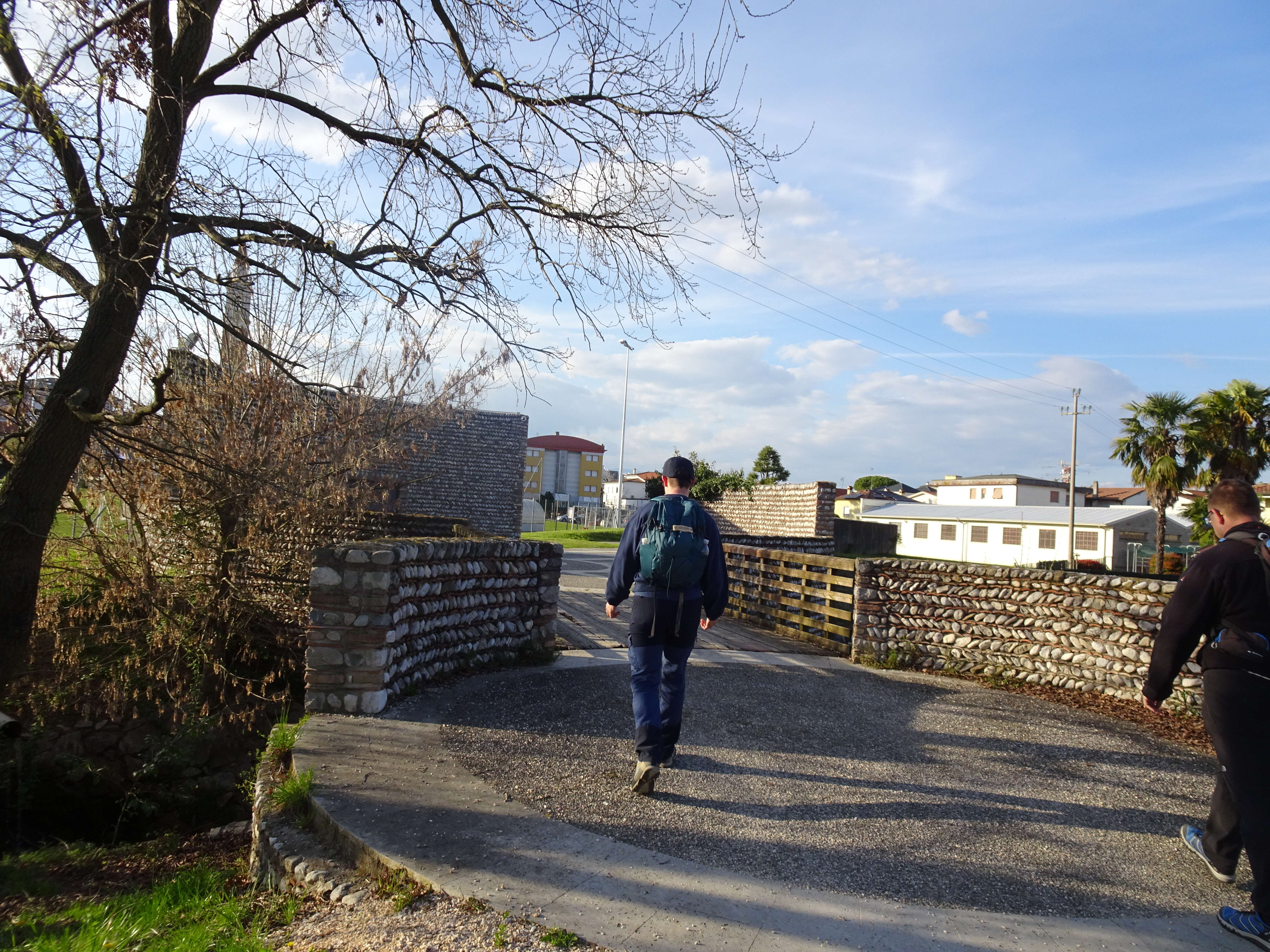
Photo 22 - Section of the path with a cemented and paved surface
Path 2 (second part)
At 2.7 km from the start, you arrive again at the explanatory sign of the 10 thousand steps and resume the urban path.
From the explanatory sign, turn left, and continue left again. Now the sports field is behind you (Photo 23 from behind).
The stretch of road is again on the sidewalk, easy to navigate, equipped with ramps for crossings (at one point there are bins that make passage less convenient).
As indicated, leave via Saba (Photo 24) and continue on via Don Bosco, towards the bell tower now clearly visible (Photo 25-26), about 3 km from the start (2.1 urban + 900 Dote)
At the end of Piazza Libertà (Photo 27) turn left and reach a pedestrian crossing; the sign indicates to turn right (via Mores di Sotto) (Photo 38), where, to reach the appropriate sidewalk, it is necessary to undertake a pedestrian crossing.
Upon reaching a roundabout, turn as indicated for a double pedestrian crossing. After the roundabout, continue straight ahead.
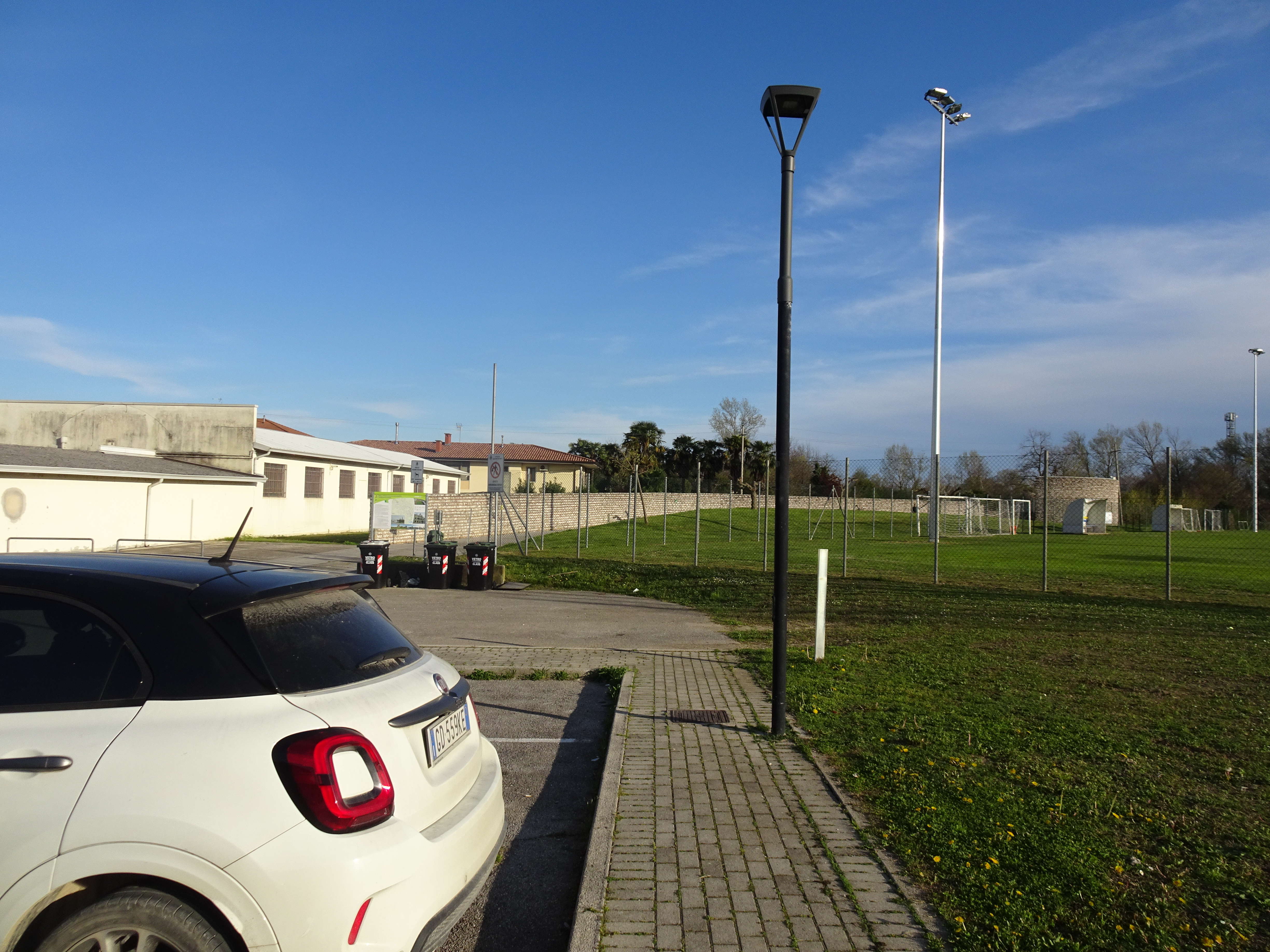
Photo 23 - Continuation of the path to the left, leaving the sports field behind

Photo 24 - End of via Saba and continuation on via Don Bosco
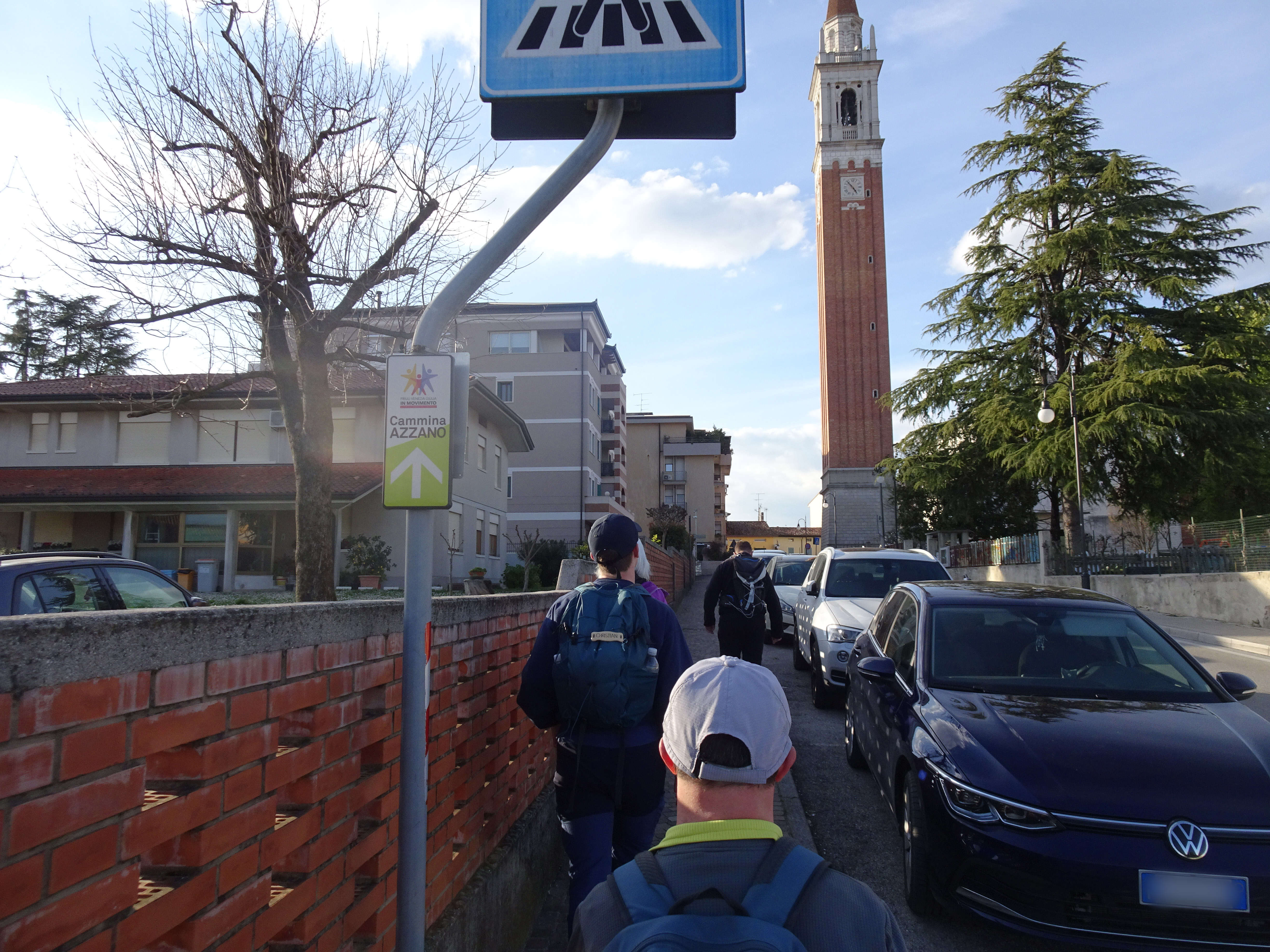
Photo 25 - Continuation on the sidewalk in via Don Bosco, towards the bell tower

Photo 26 - Continuation on the sidewalk in via Don Bosco, towards the bell tower
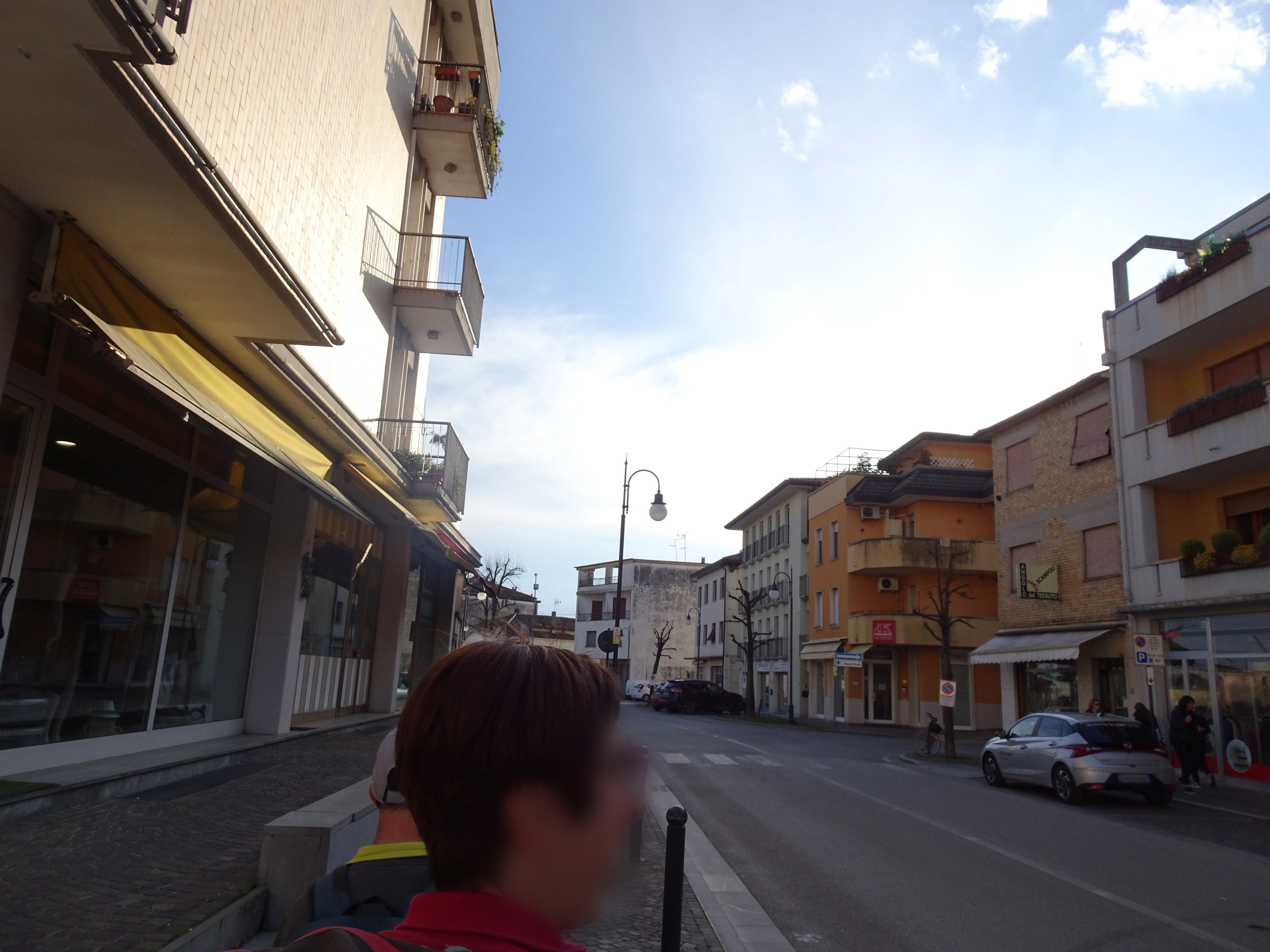
Photo 27 - At the end of piazza libertà continue to the left
Photo 28 - Turn right into via Mores di Sotto
All’incrocio con via Cattaneo si attraversa la strada per raggiungere un restringimento dove è necessario intraprendere un altro attraversamento per raggiungere il marciapiede, in alcuni tratti dissestato. Proseguendo, per raggiungere la parte destra della strada, si deve attraversare la strada. A seguito di un nuovo passaggio pedonale, si svolta a sinistra e in seguito a destra su via Mores di Sotto.
Attraversata la strada davanti alla scuola, si svolta a sinistra su via delle Rimembranze (Foto 29). Si prosegue dritti a lungo, con qualche passaggio pedonale ben segnalato. In questo tratto il marciapiede è largo e ben strutturato. La strada ha una buona densità di traffico a scorrimento veloce (Foto 30).
Al km 4,1 dalla partenza (3,2 km + 900 m) si deve svoltare a destra (Foto 31) e si giunge in via Divisione Julia e dopo ulteriori 300 m ca. (Foto 32) si è arriva al punto di partenza, davanti al cartellone esplicativo di nei pressi del Palazzetto dello Sport.
Photo 29 - Turn left onto Via delle Rimembranze
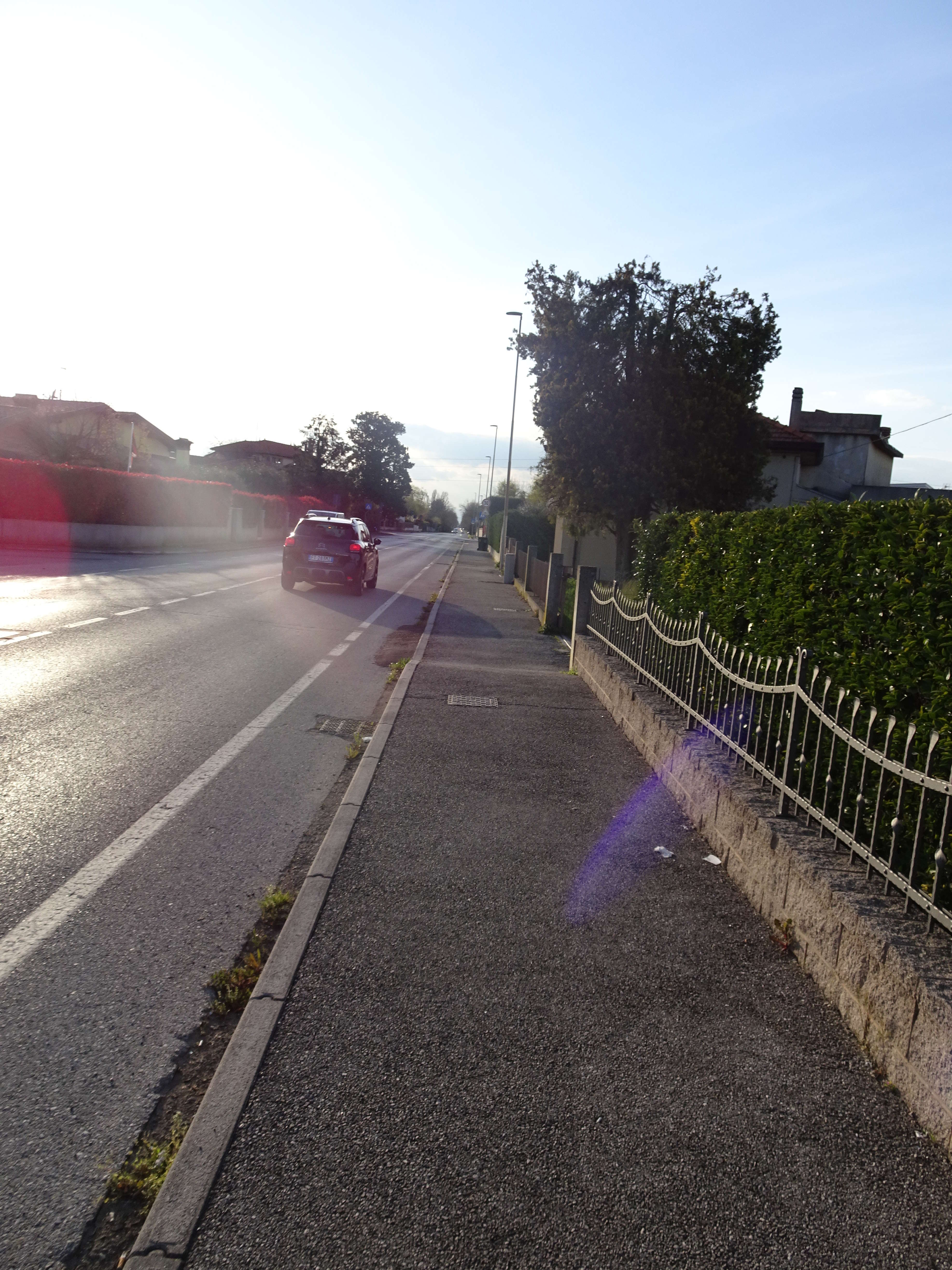
Photo 30 - Path on a wide and well-structured sidewalk
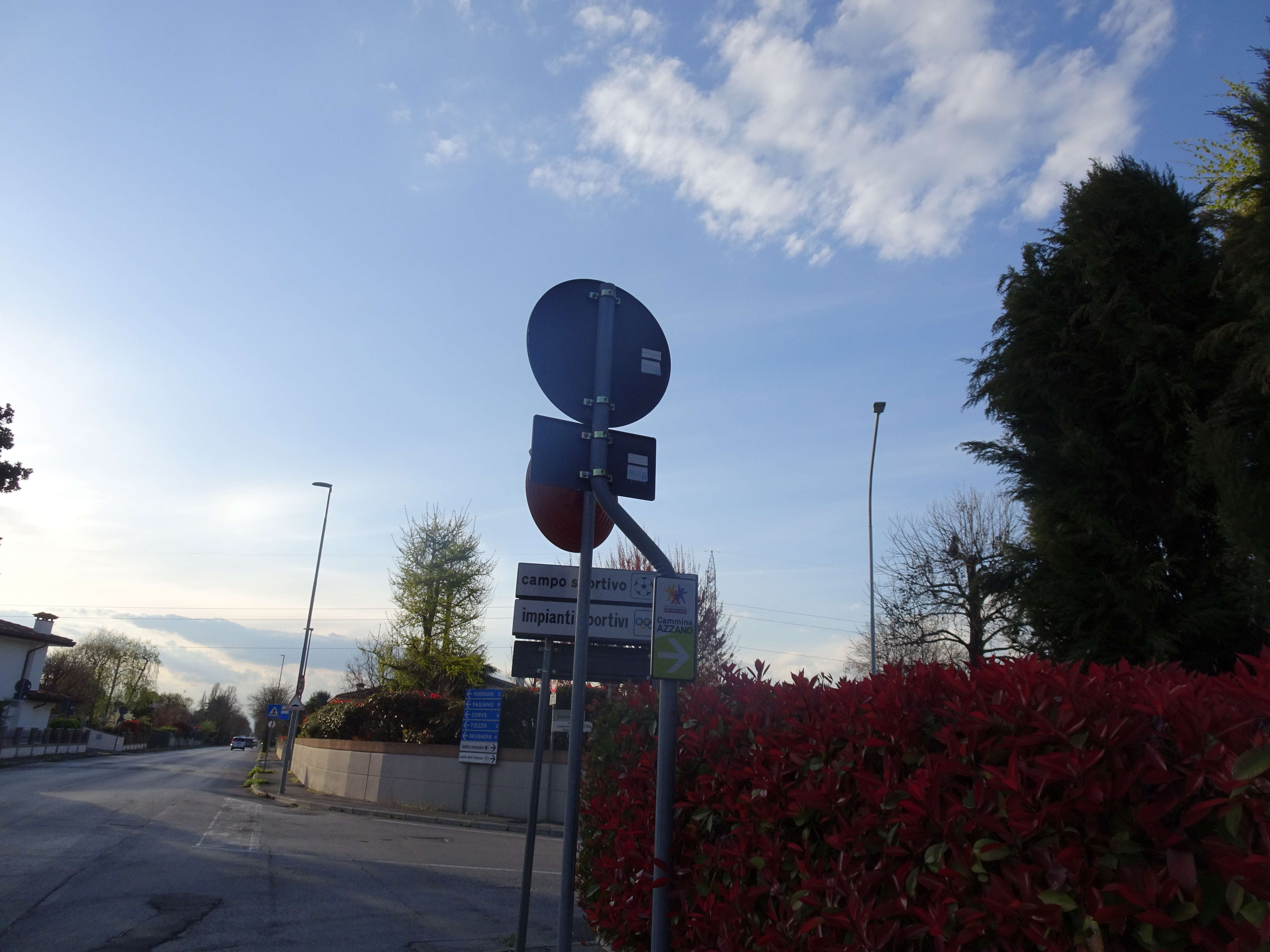
Photo 31 - Turn right on the path
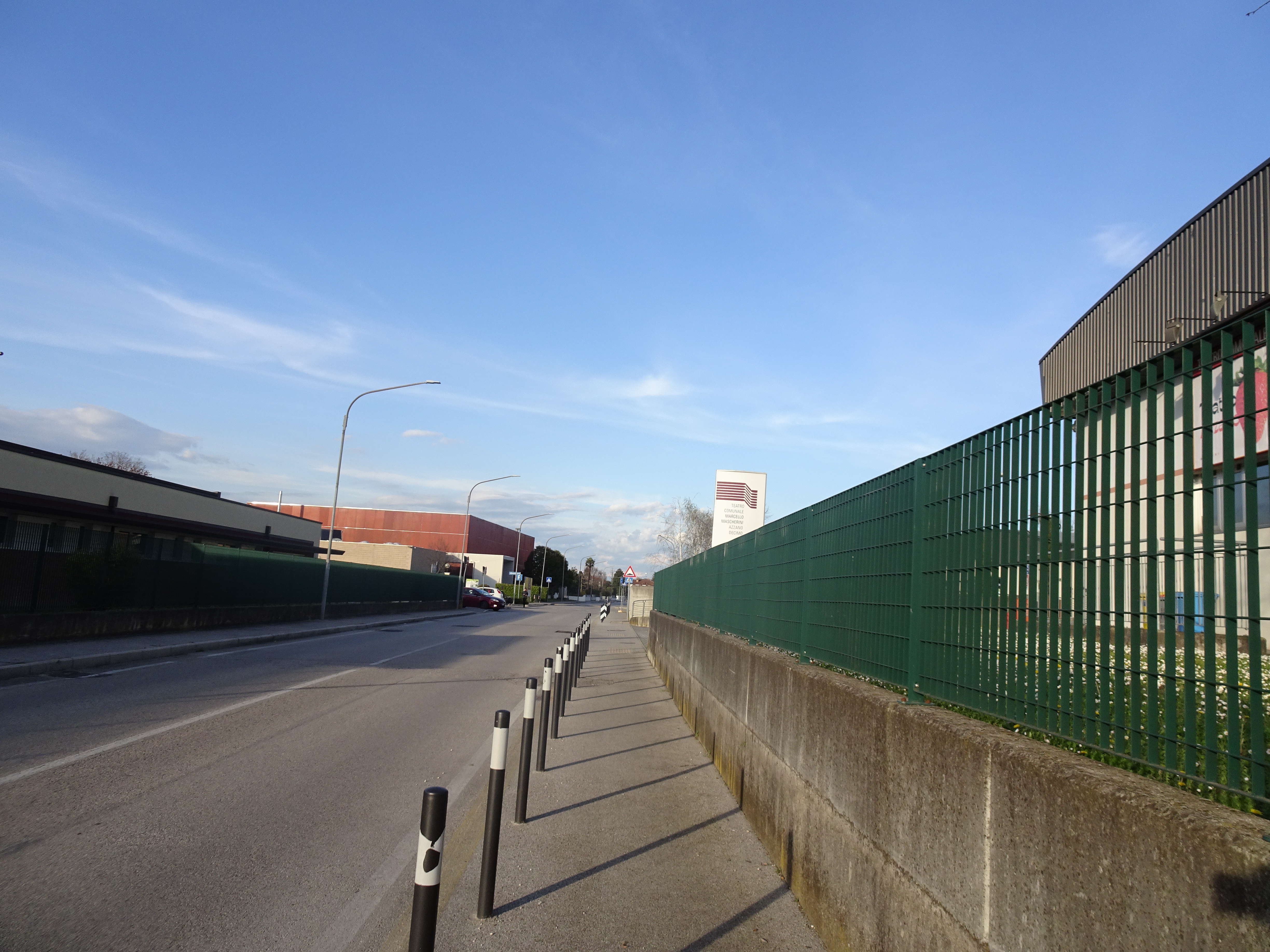
Photo 32 - Via Divisione Julia until reaching the starting point
Route 1.
You embark on route 1°. The circuit within the sports fields is oriented clockwise, where at the entrance of the route there is a sign indicating a left turn. Inside the circuit that passes by various sports fields (Photo 33), there are gymnastic equipment for outdoor sports (Photo 34). The paths that make up the route have a gravel surface and are surrounded by greenery (Photo 35 and 36). The circular route of about 1.2 km for 25 minutes of walking continues towards the Sports Hall (Photo 37), the starting point of the last circuit.
The total of the 3 routes is about 5.6 km. We covered them in about 1h 30’.
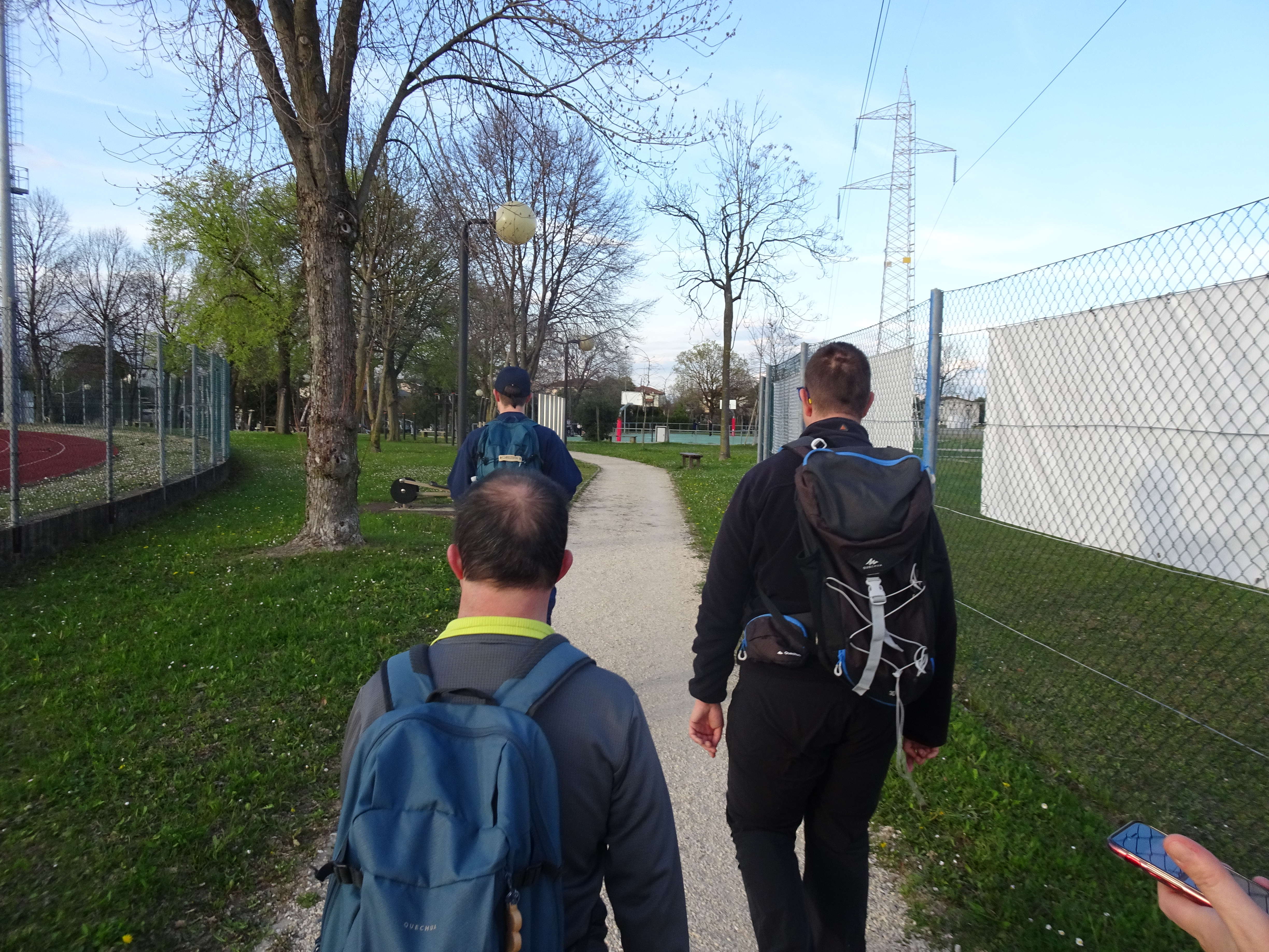
Photo 33 - Path next to the sports fields
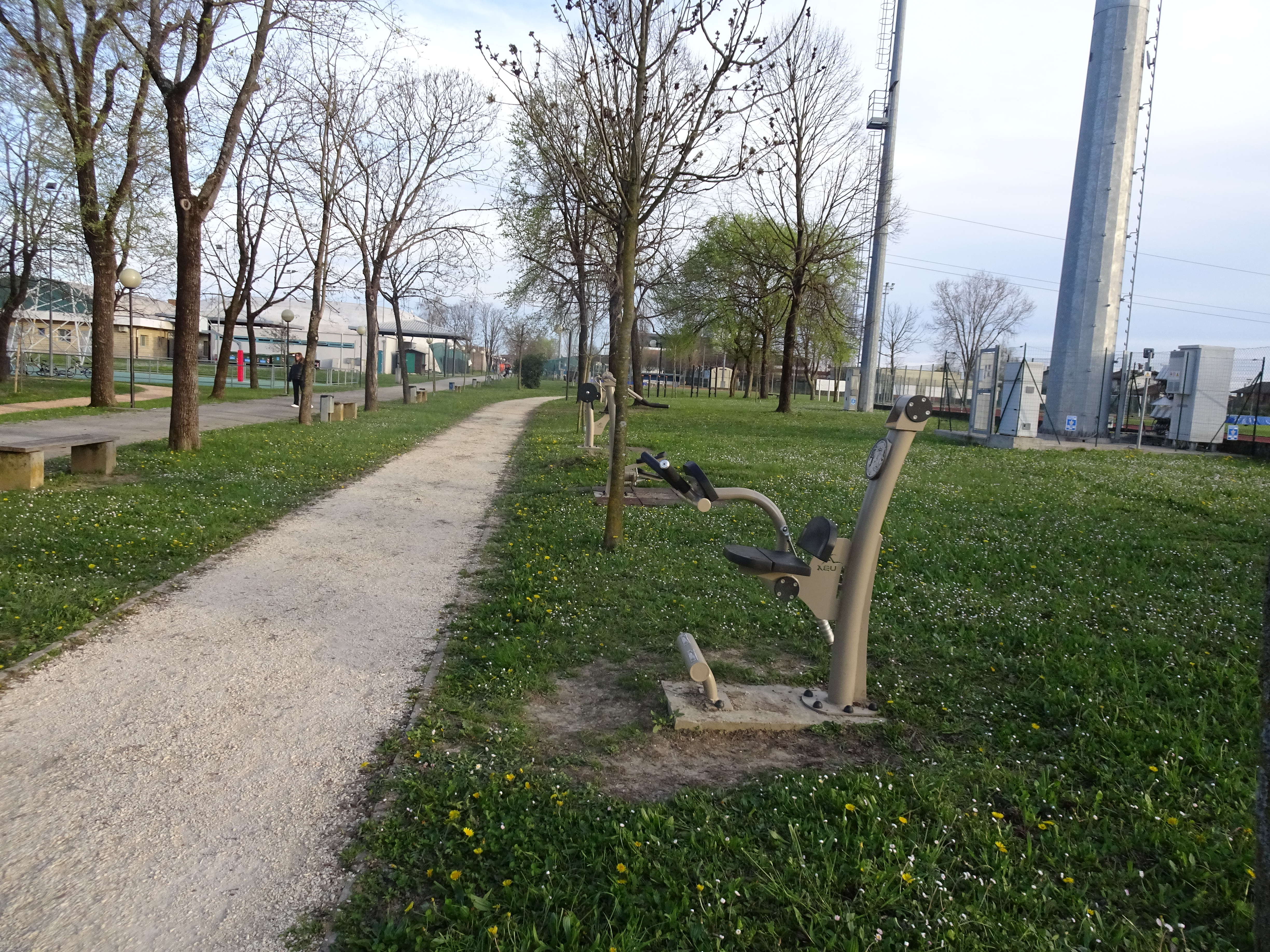
Photo 34 - Gym equipment for outdoor sports
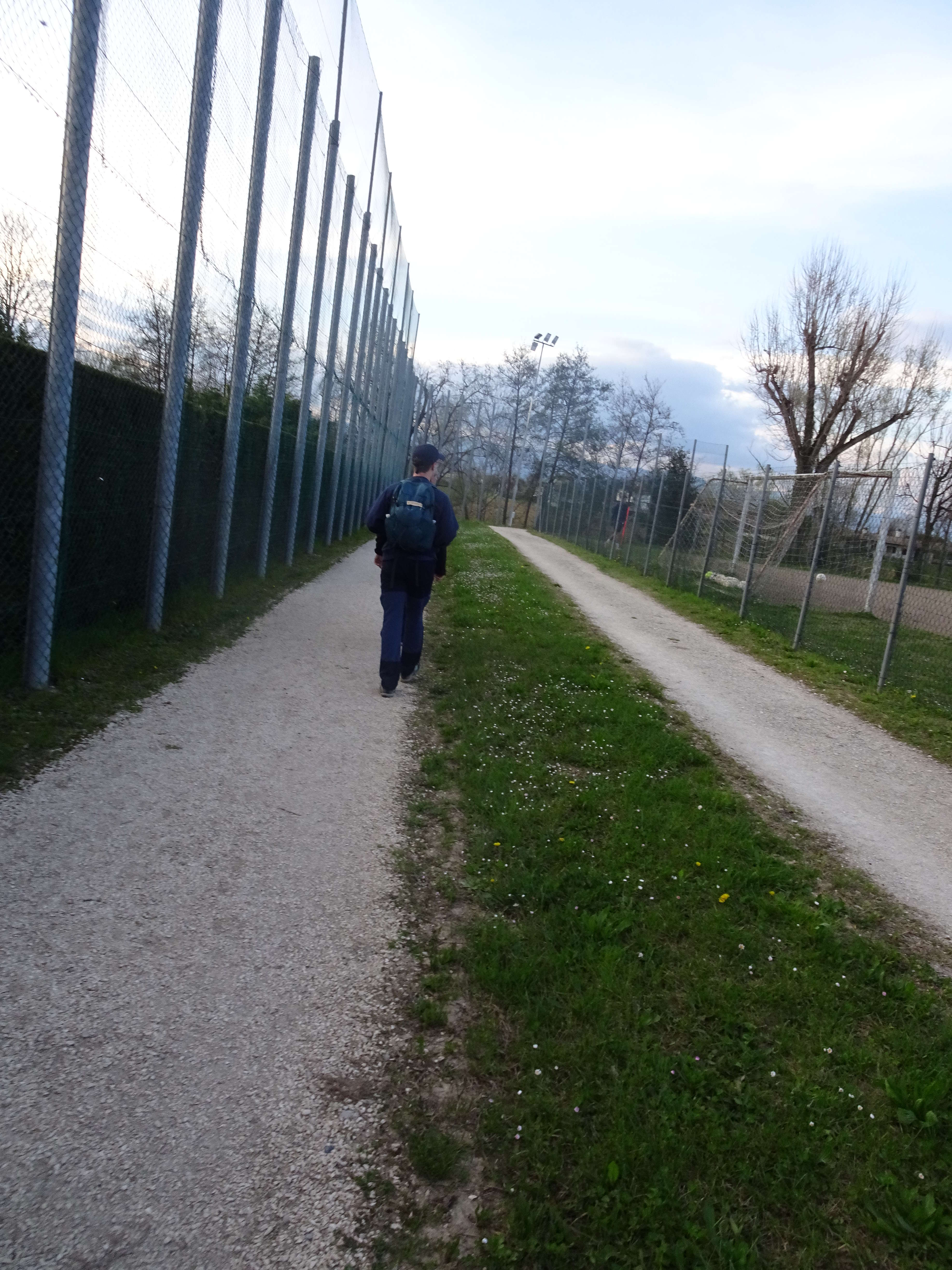
Photo 35 - Pathway with gravel surface surrounded by greenery
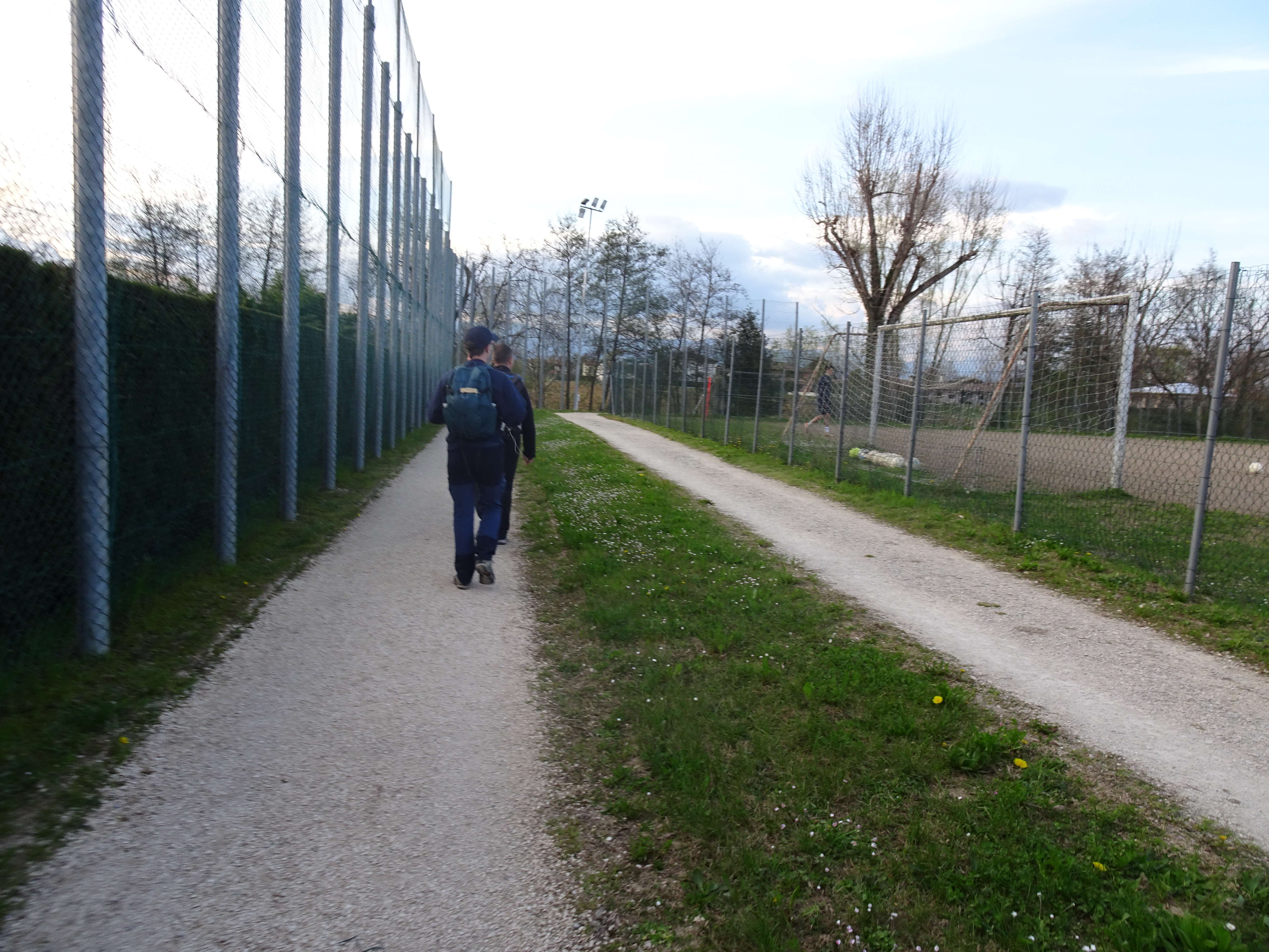
Photo 36 - Pathway with gravel surface surrounded by greenery
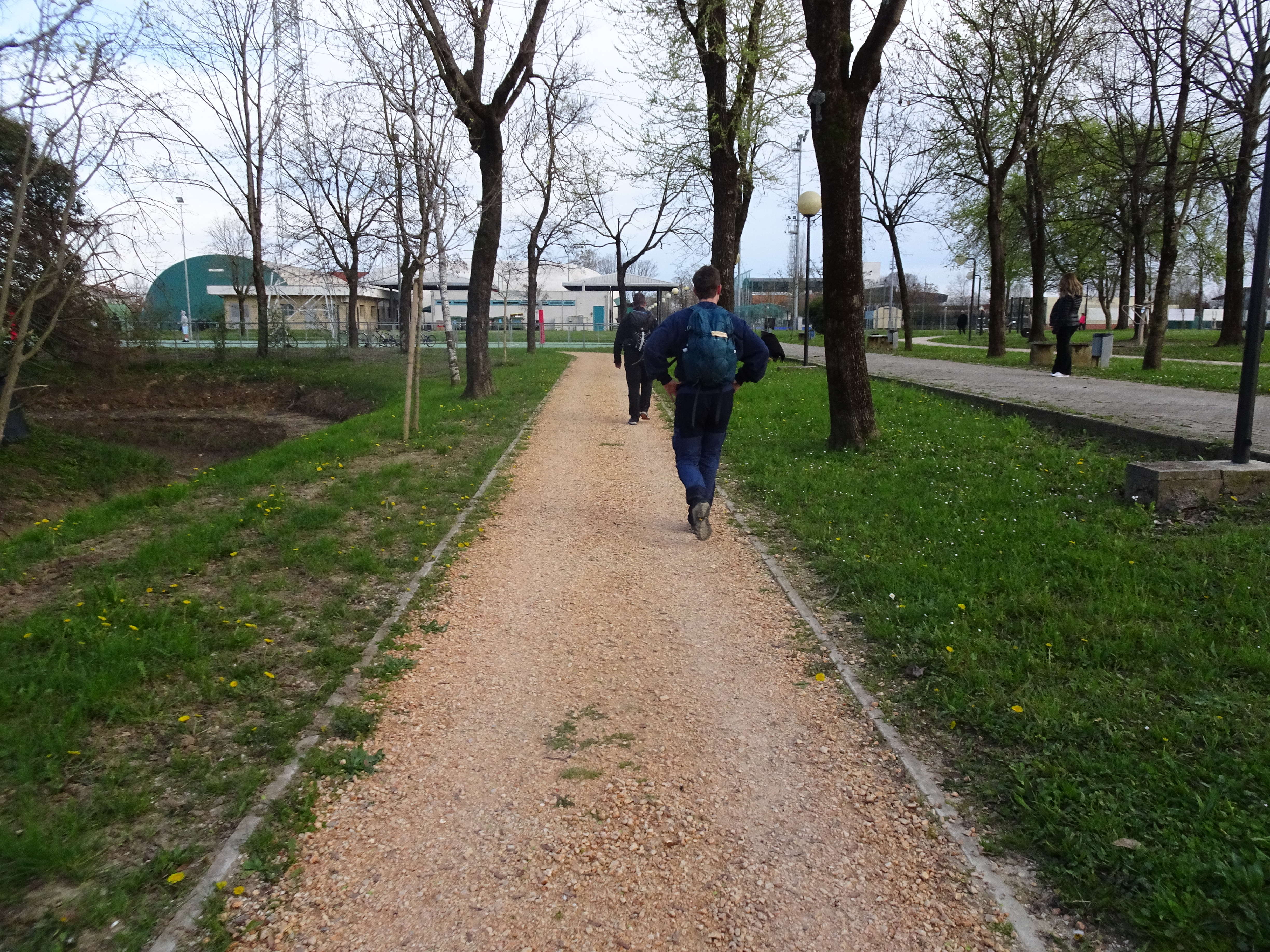
Photo 37 - Path continues towards the Sports Hall