Cavazzo Carnico - FVG in motion 10 thousand steps of health

Mountain
GENERAL INFORMATION
LAST INSPECTION DATE
05/04/2024
PLANNED ITINERARY
Cavazzo Carnico - FVG in motion 10 thousand steps of health
LENGTH
6000 meters
The start of the path is located near the area of the Somplago hydroelectric power station on the outskirts of the village, on the road that from Somplago proceeds counterclockwise along the west side of Lake Cavazzo.
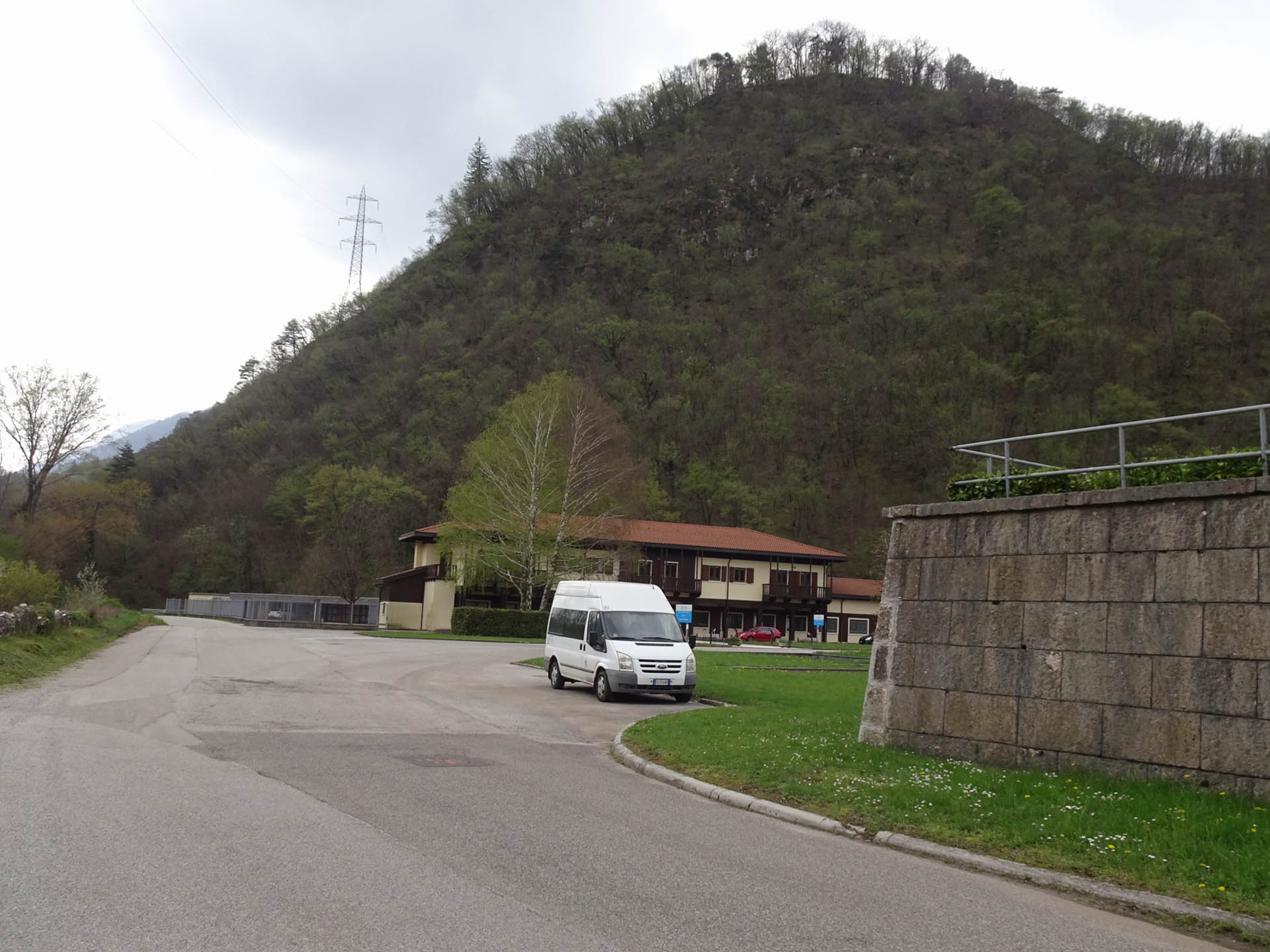
Near the information panel, there is no defined parking area, but there are spaces owned by the hydroelectric power station (Photo 1). The path begins on a dirt road that crosses a green area (Photo 2-3) near the shores of the lake. The green area is equipped with benches and bike racks. At this point, the road curves and reaches the point where the information panel of the 10,000 steps FVG is located, 250 m from the parking lot (Photo 4).
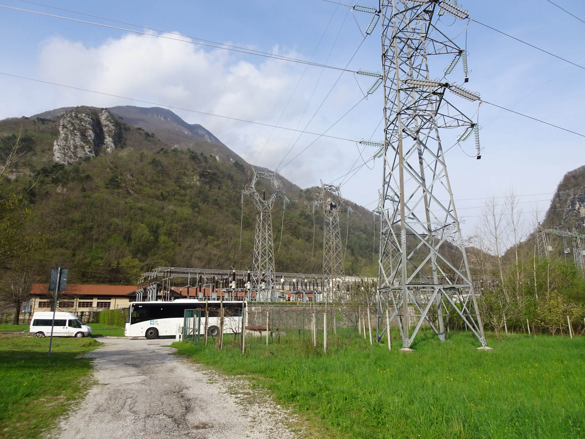
Photo 1 - Departure from the hydroelectric power station
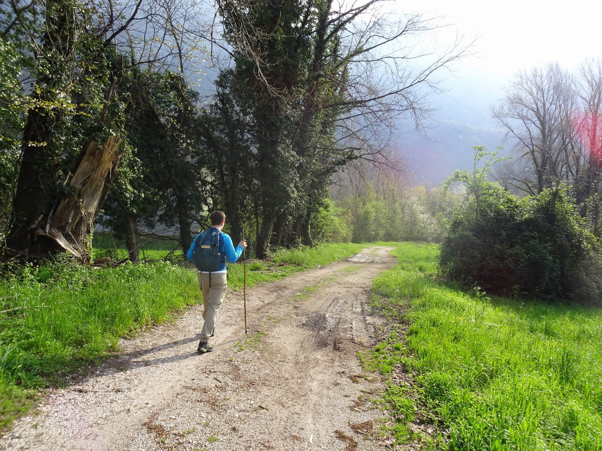
Photo 2 - Path on dirt road
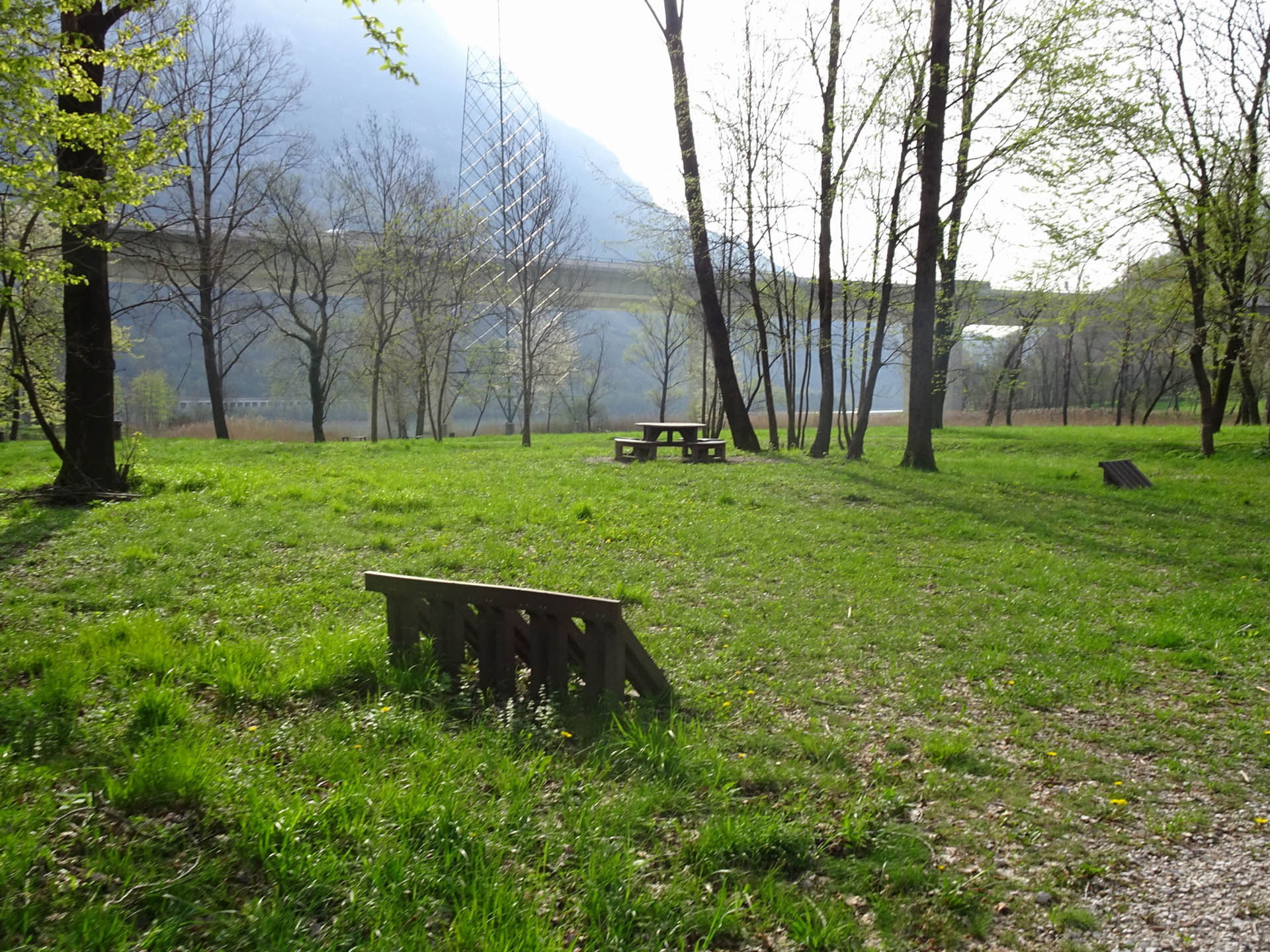
Photo 3 - Path on dirt road
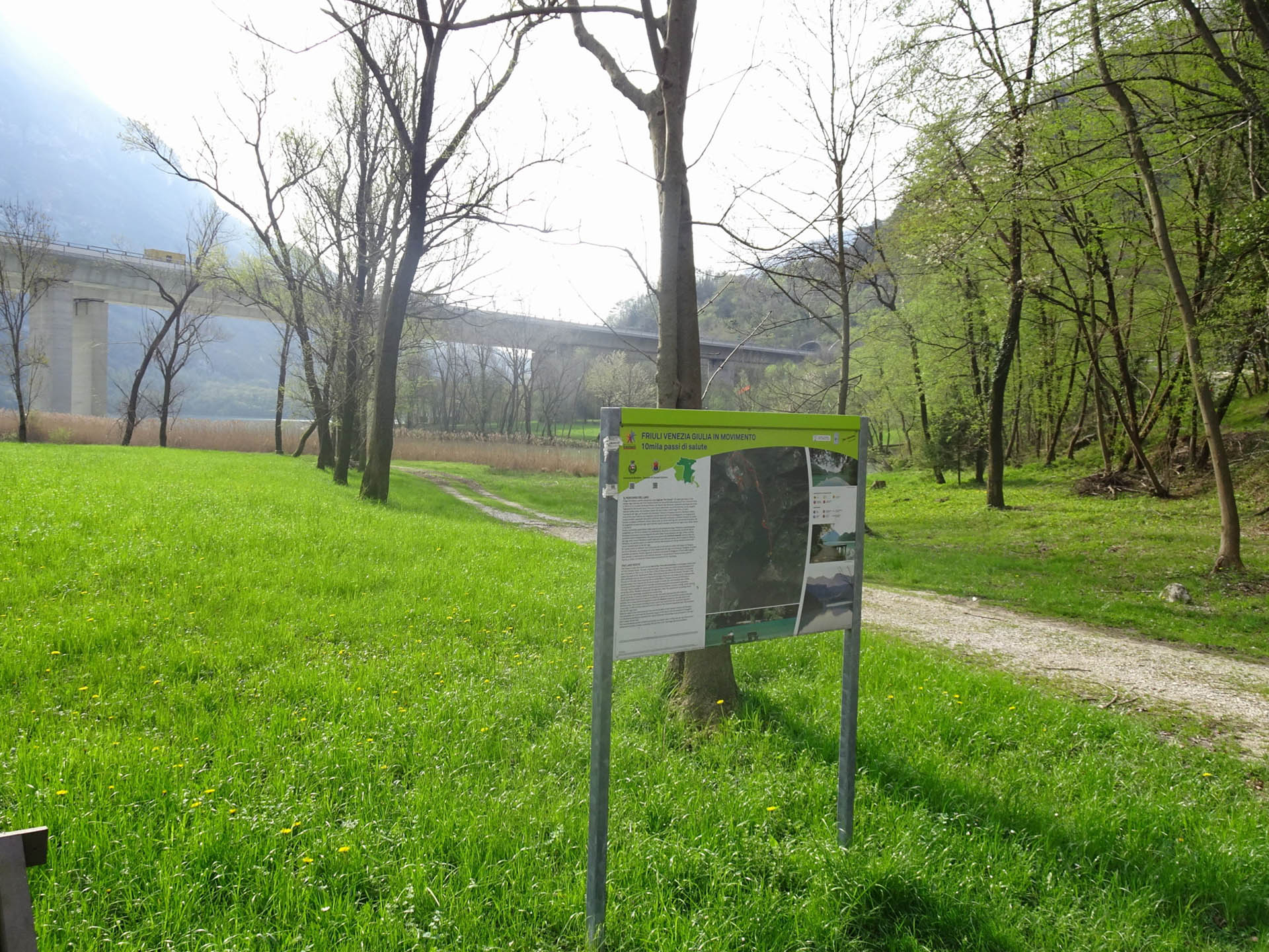
Photo 4 - Information panel
From the main dirt road, other paths branch off towards the lake (Photo 5) marked on the map and outlined on the signboard.
Returning to the paved road, one proceeds south along the shores of the lake. The road is smooth and lightly trafficked, following the lake's banks with wide curves (Photo 6) interspersed with straight sections (Photo 7). To cross the lake's depressions, the road becomes a bridge (Photo 8). One continues under the highway viaduct (Photo 9).
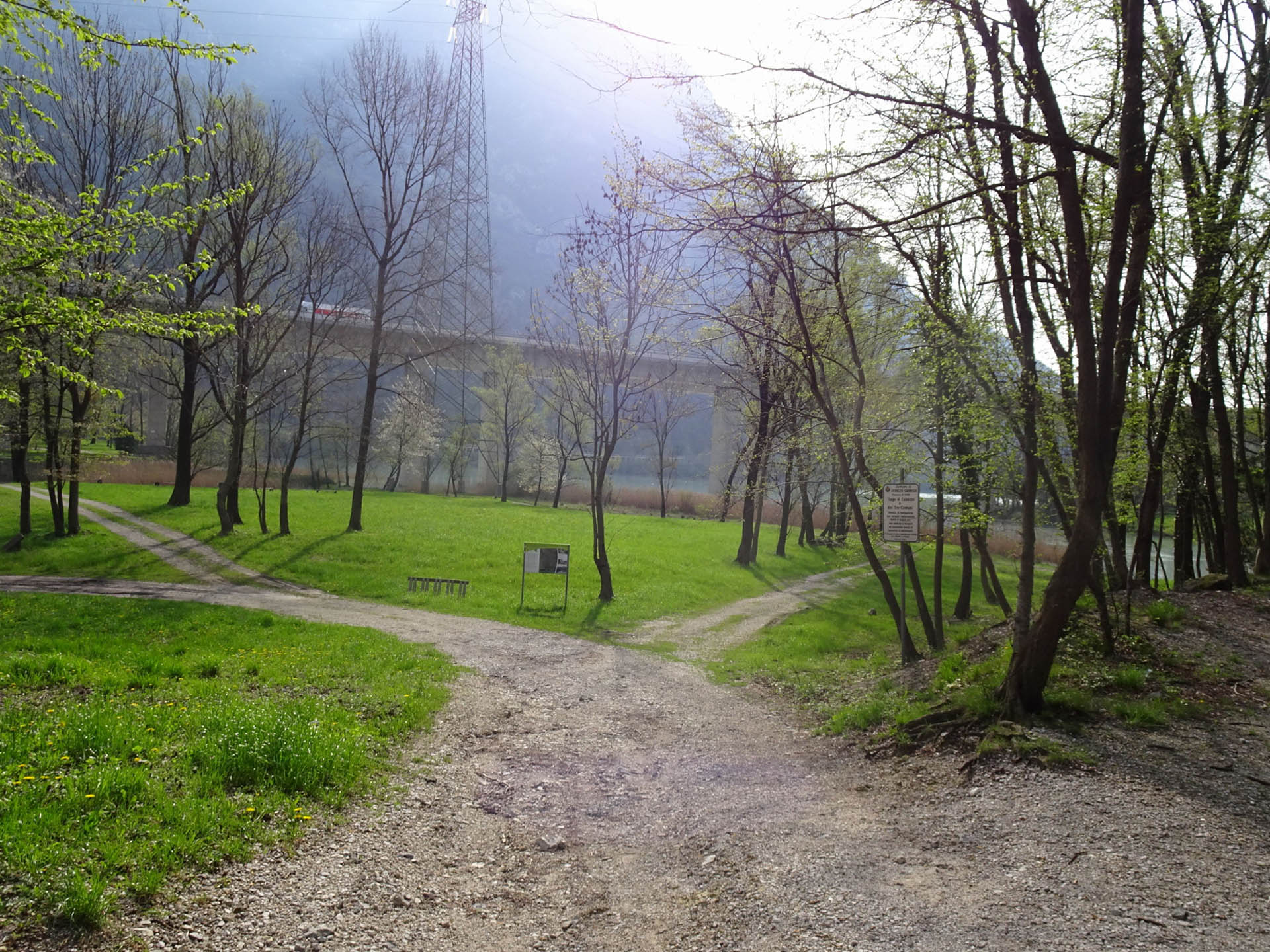
Photo 5 - Path on dirt road
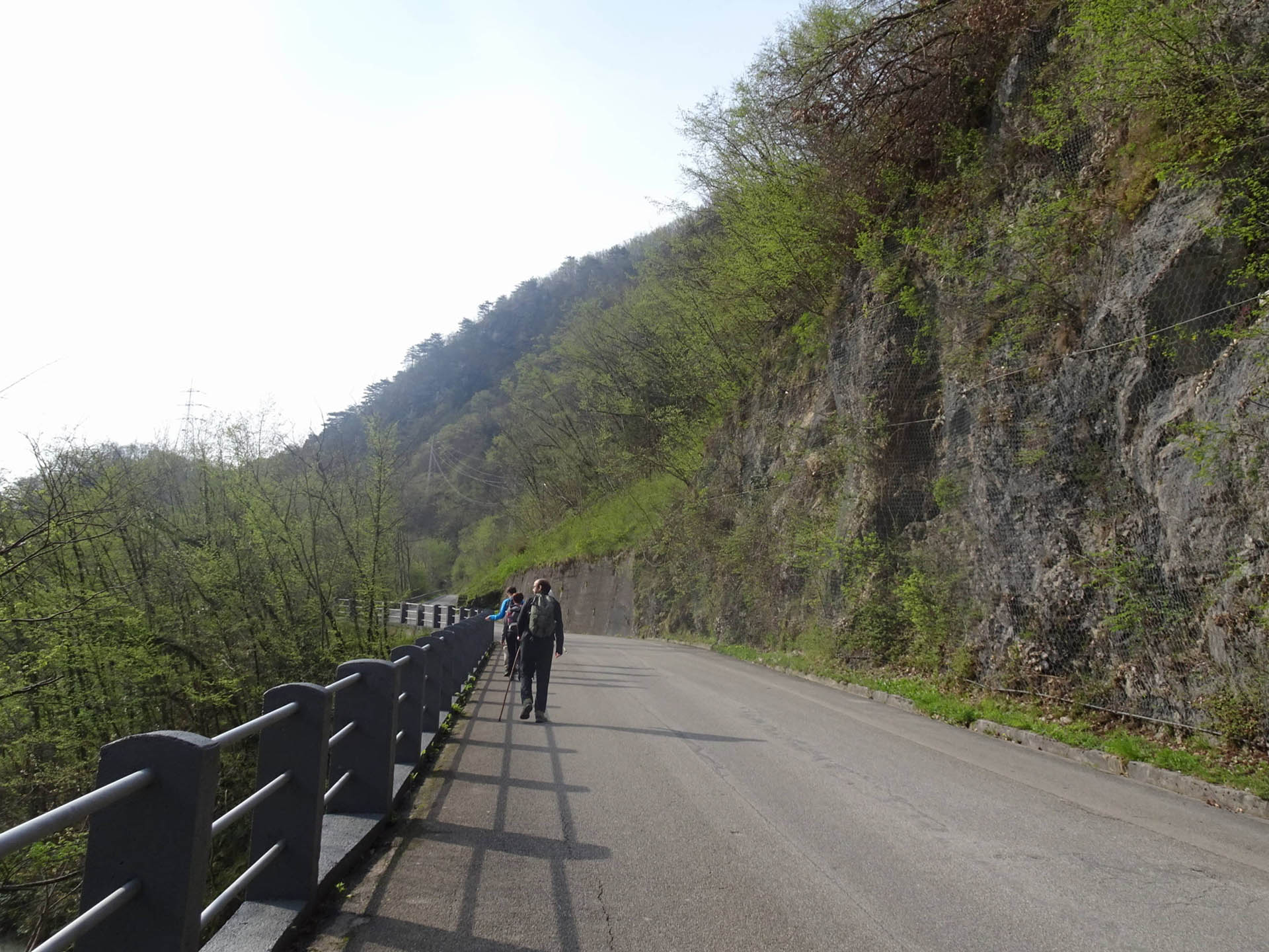
Photo 6 - Path on paved road
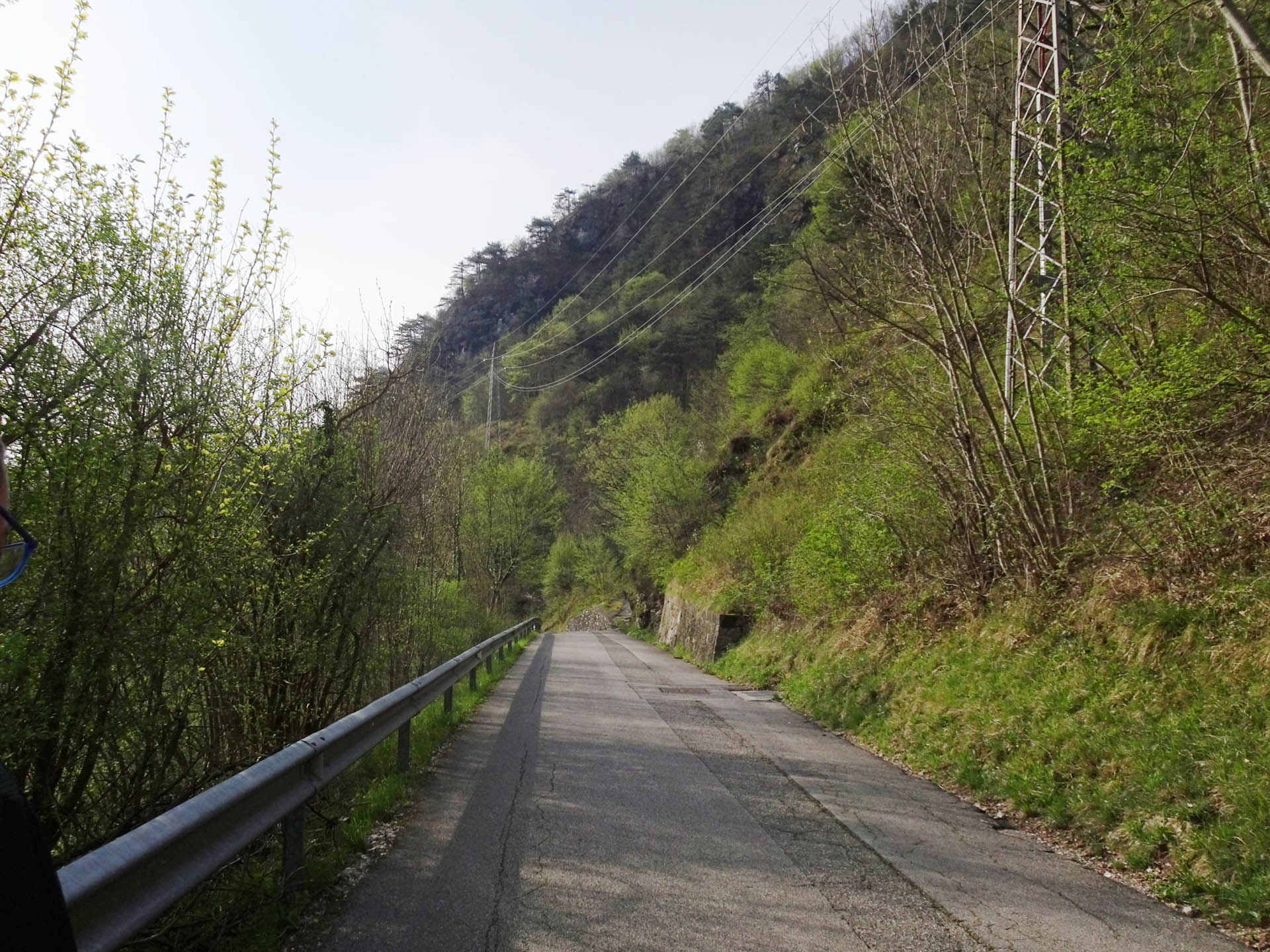
Photo 7 - Path on paved road
Photo 8 - Path on paved road
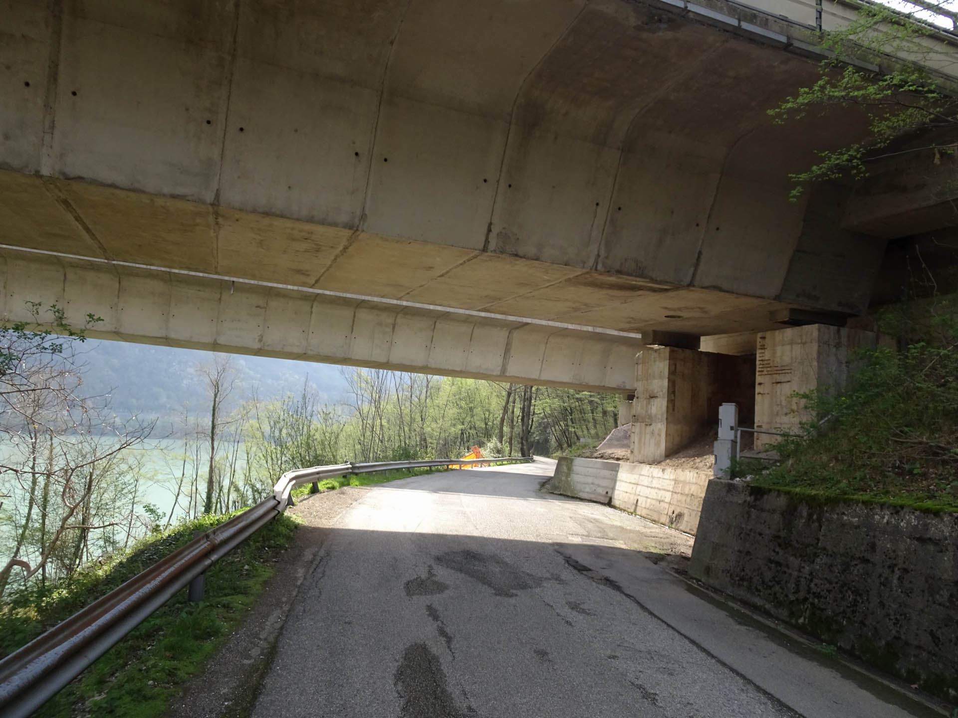
Photo 9 - Path on paved road
1 km from the start, you reach the border sign between the Municipality of Cavazzo (Photo 10) and that of Trasaghis. At 1.3 km, you arrive in the locality of Ponta da Muela (Photo 11). After 200 m, you cross the bridge over the rio Cruzio (Photo 12). At 1.7 km from the start, through a slight descent, you pass a solitary house in the locality of Cuarnissit. At 2 km from the start, there is a sailboat rental (Photo 13).
At 2.3 km from the start, you leave the road to descend towards the lake (Photos 14-15), via a path that features a bench and stairs with high steps (Photo 16).
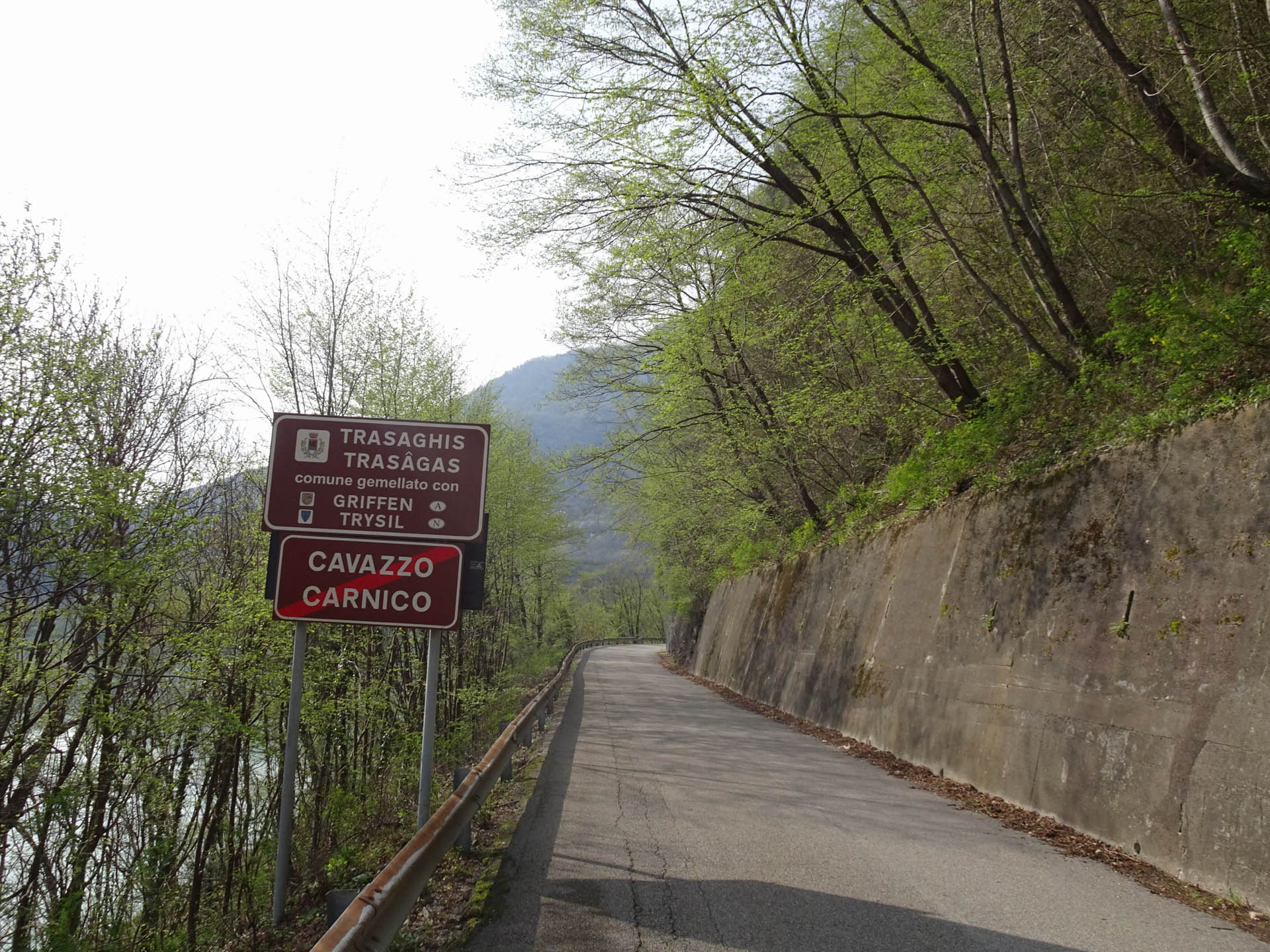
Photo 10 - Path on paved road
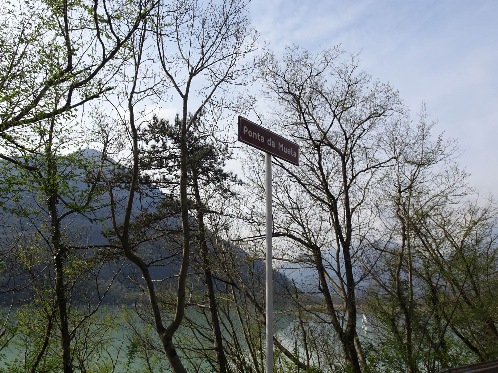
Photo 11 - Sign for the locality Ponta da Muela
Photo 12 - Path on paved road
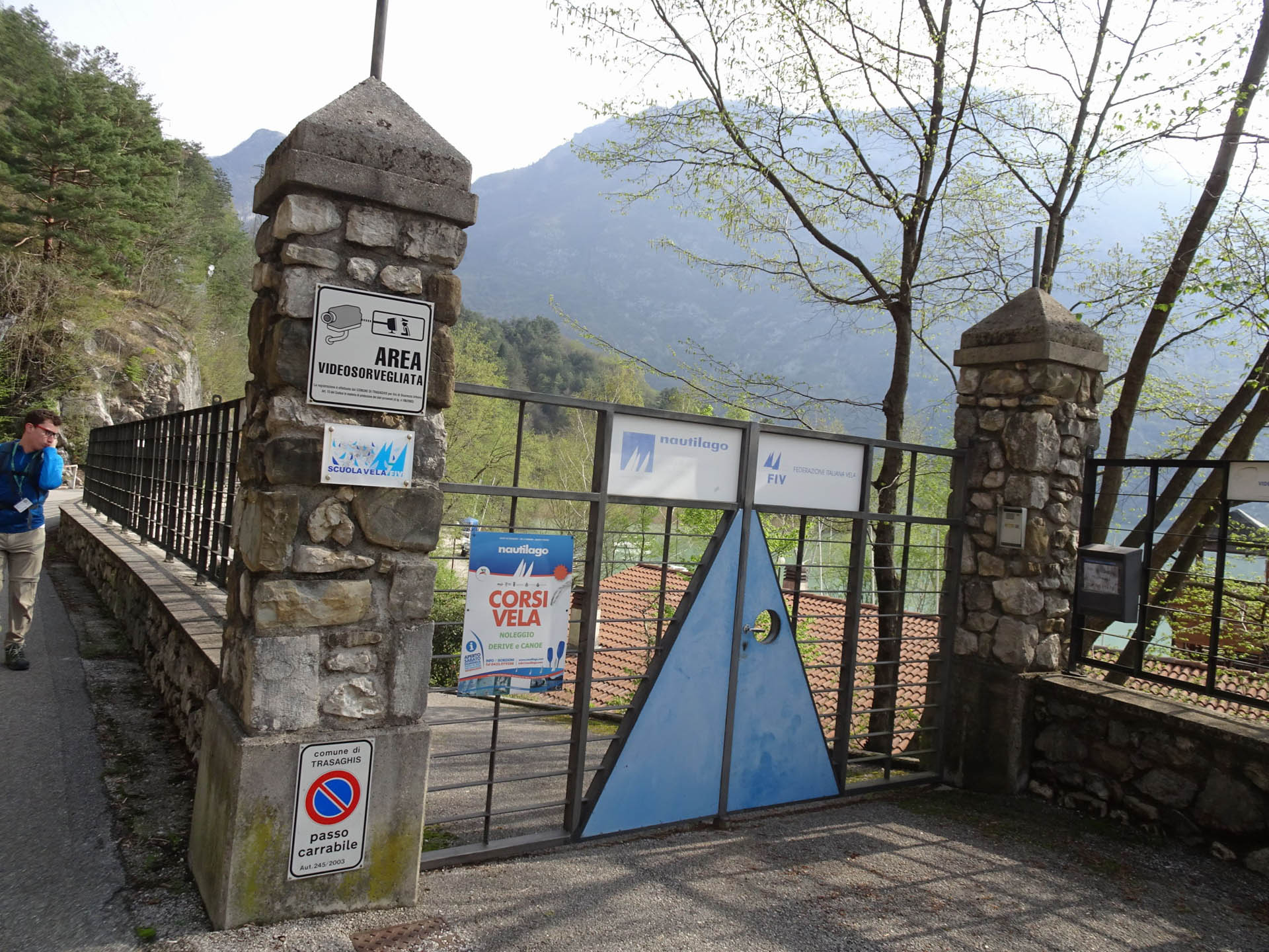
Photo 13 - Sailboat rental
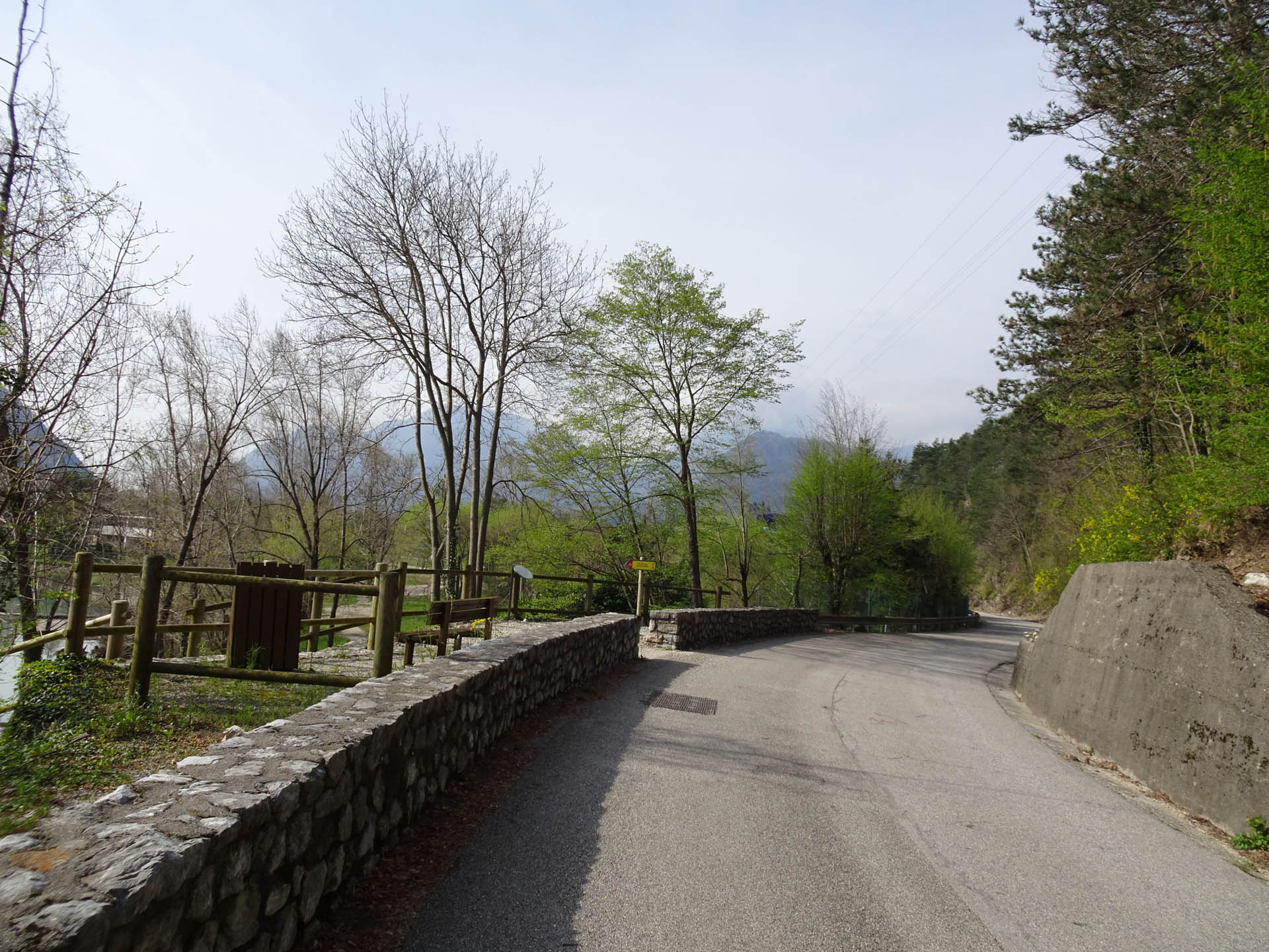
Photo 14 - Path on paved road
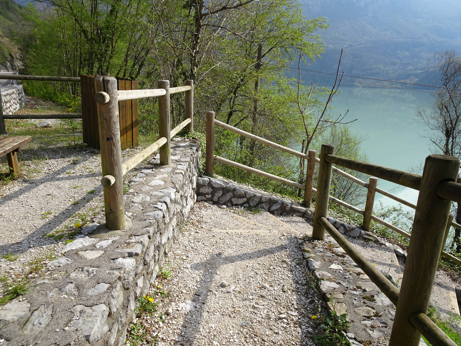
Photo 15 - Descent on steps
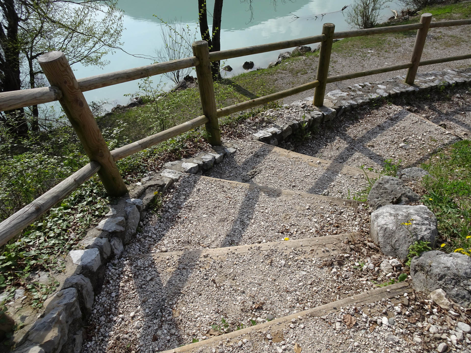
Photo 16 - Descent on steps
After passing the steps, you reach a gravel path (Photo 17). At 2.6 km from the start, you cross a wooden bridge over the Riu da Cout (Photos 18, 19), and continue on the path leaving the Trilago hotel on the right (Photo 20).
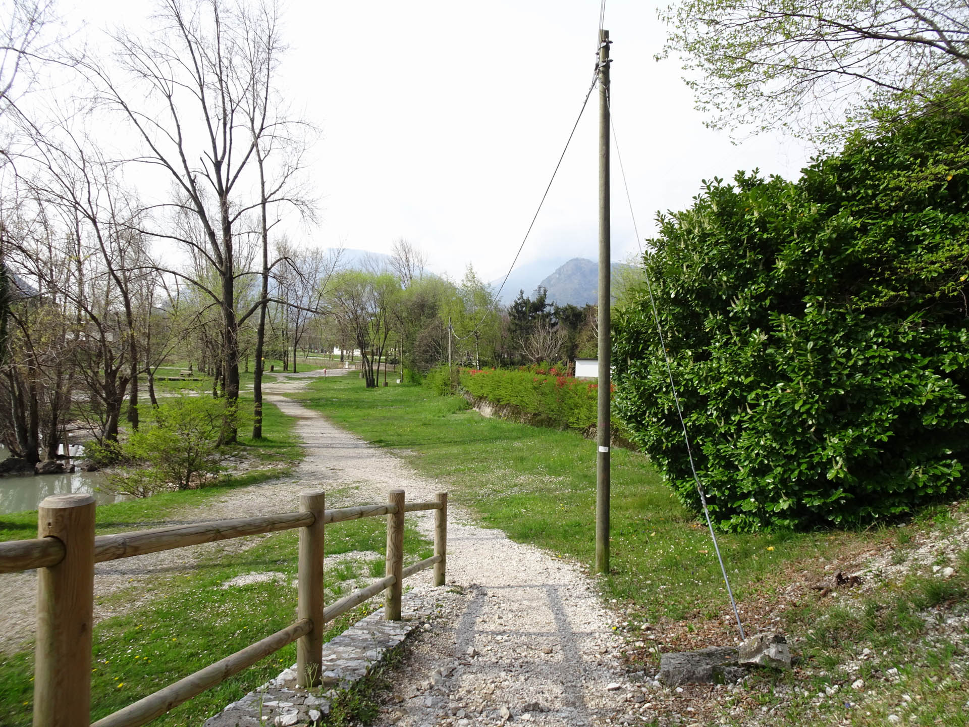
Photo 17 - Path on gravel walkway
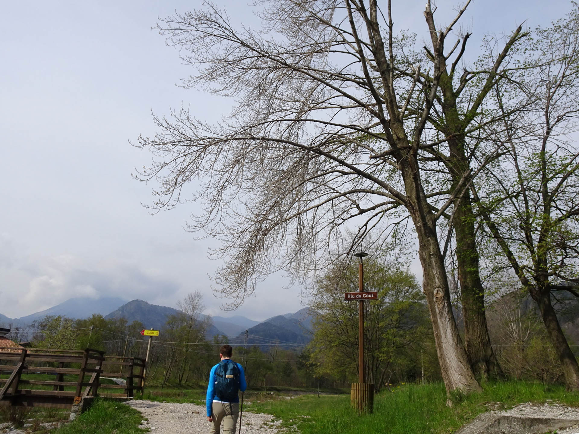
Photo 18 - Path on gravel walkway
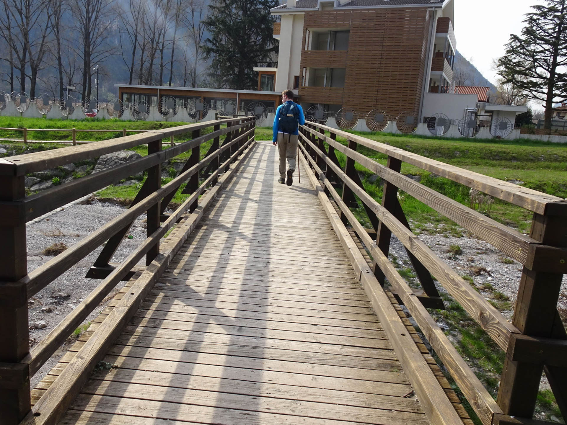
Photo 18 - Wooden bridge
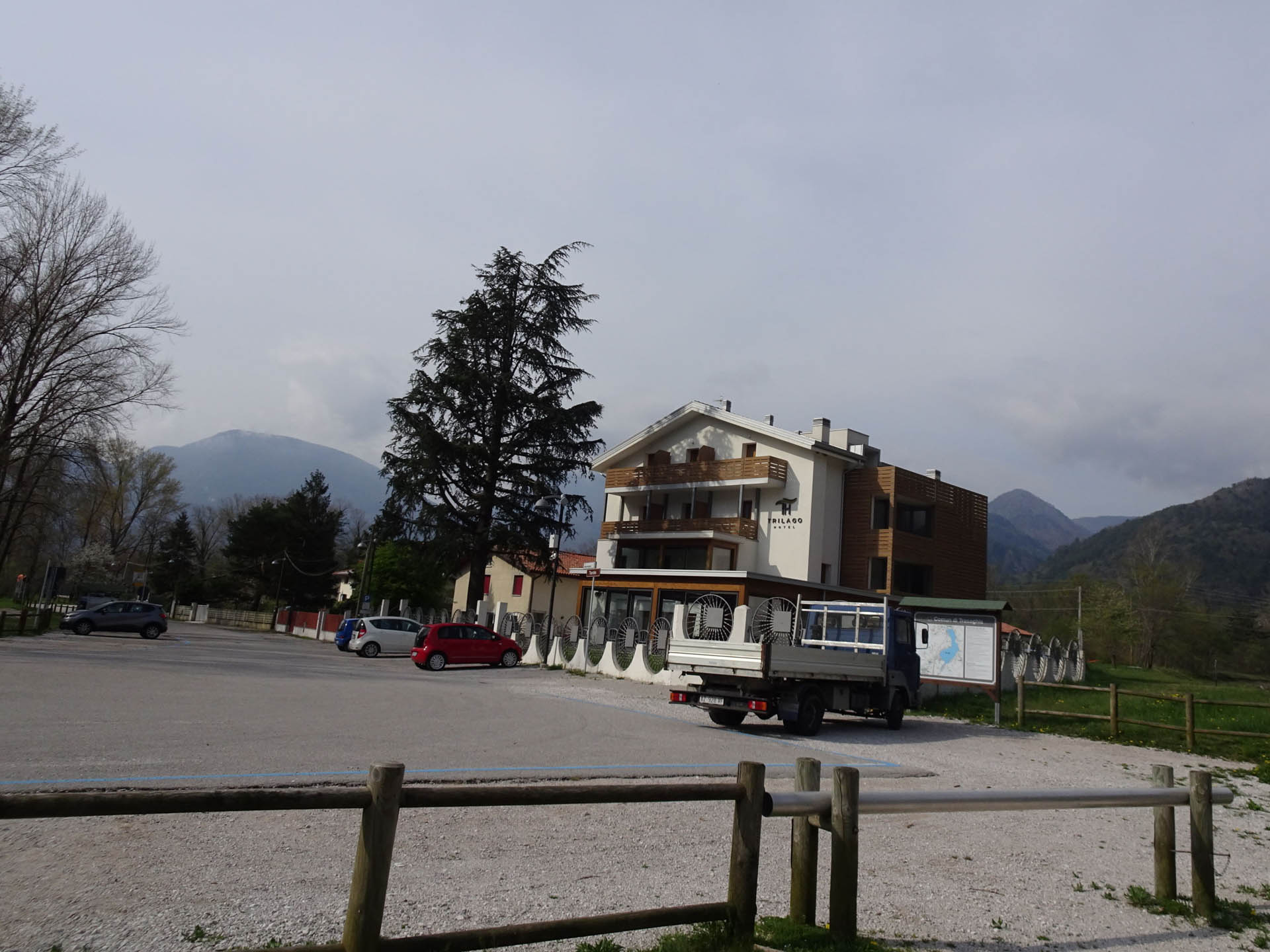
Photo 20 - Hotel Trilago
The path follows the marshy shores of the lake that enclose the picturesque landscape of the lake (Photo 21-22). The dirt road is followed until reaching, at km 3.3 from the start, a wooden bridge (Photo 23). Two more bridges are crossed, one larger and the other smaller (Photo 24-25), until reaching the wooded parking area (Photo 26) and subsequently the equipped area with benches and services.
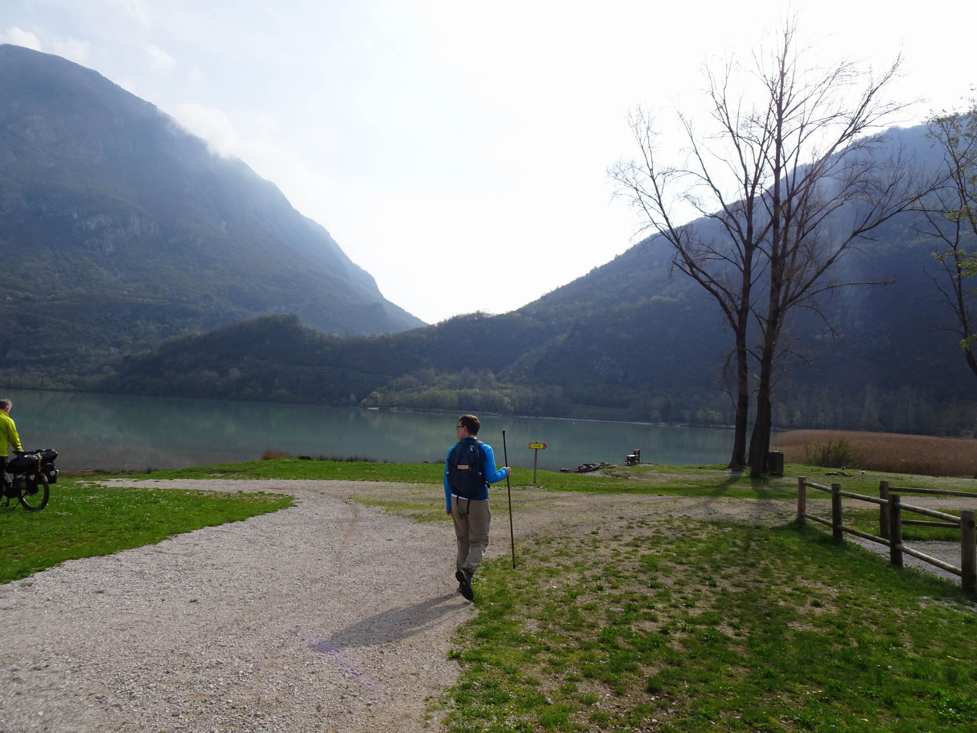
Photo 21 - Path on dirt road
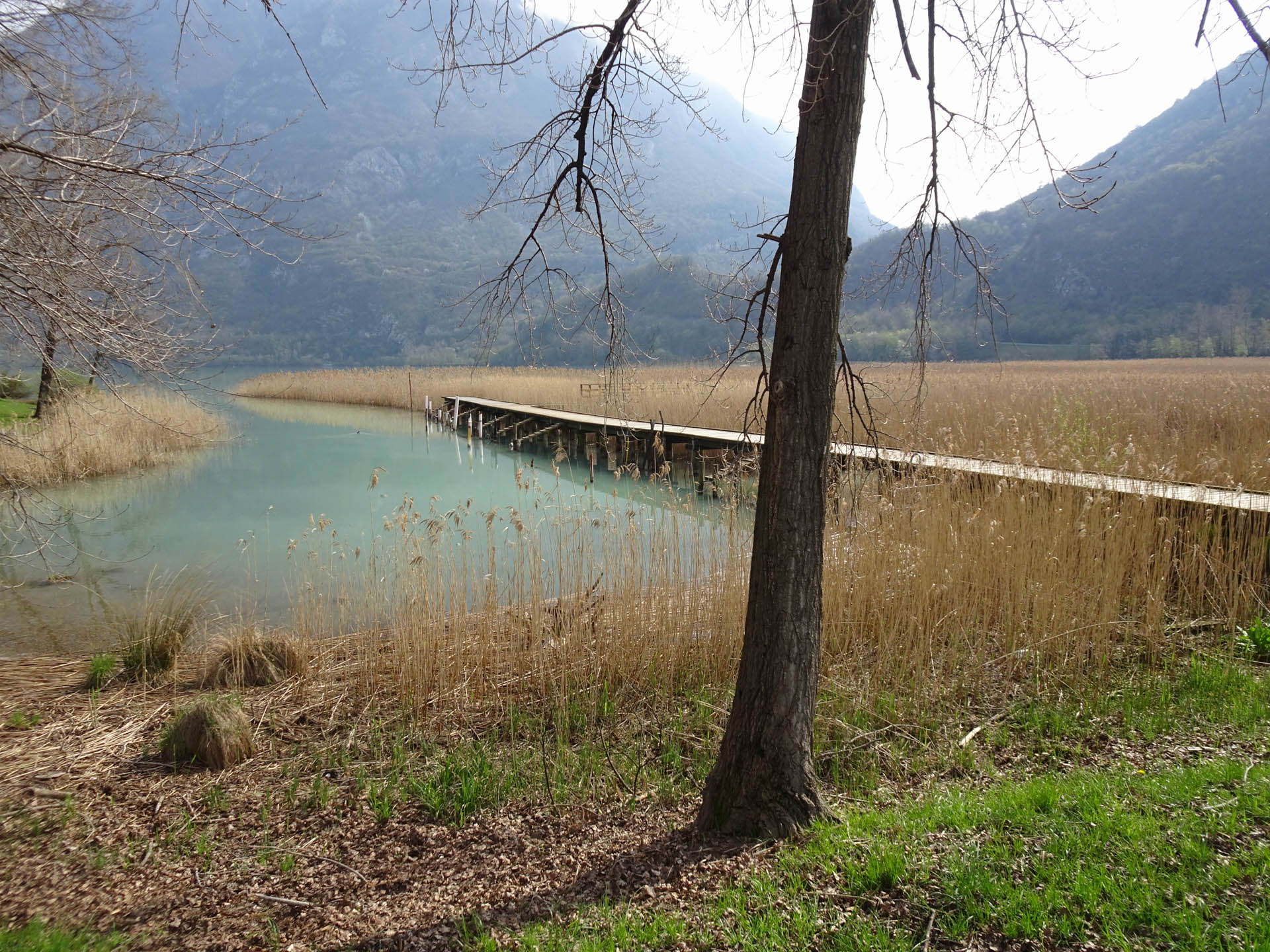
Photo 22 - View of the lake
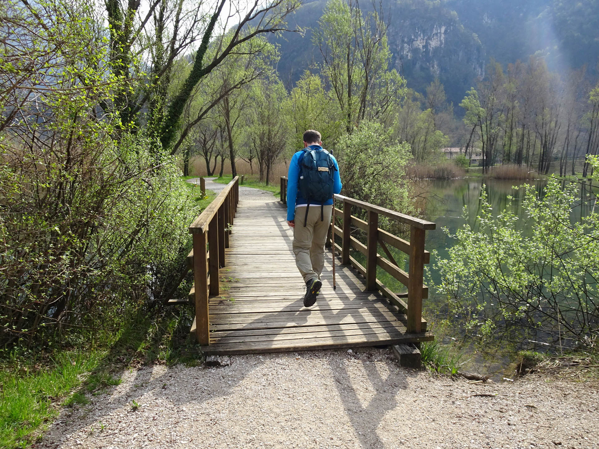
Photo 23 - Passage on wooden bridge
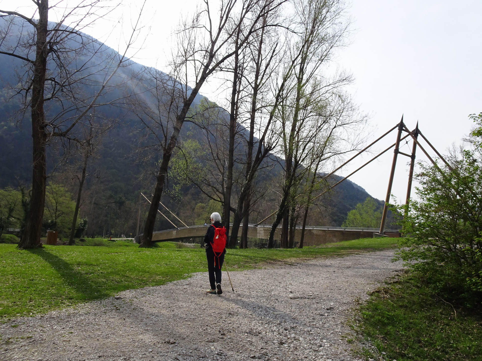
Photo 24 - Path on gravel road
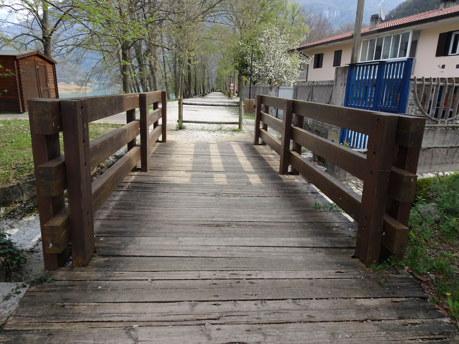
Photo 25 - Passage on wooden bridge
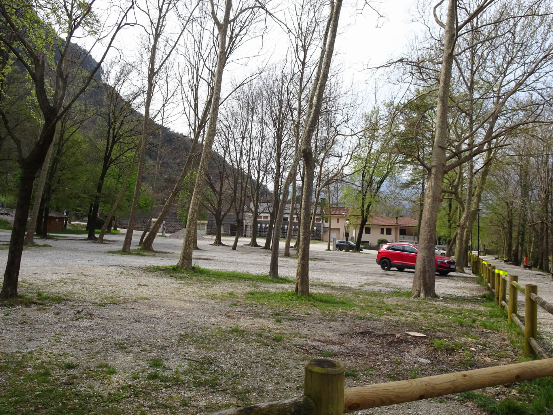
Photo 26 - Shaded parking
You continue along the walkway that runs alongside the lake (Photo 27-28) and crosses the area designated for bathing. You cross a wooden bridge (Photo 29) and after 4 km from the start, you cross the border between the municipality of Trasaghis and Bordano (Photo 30).
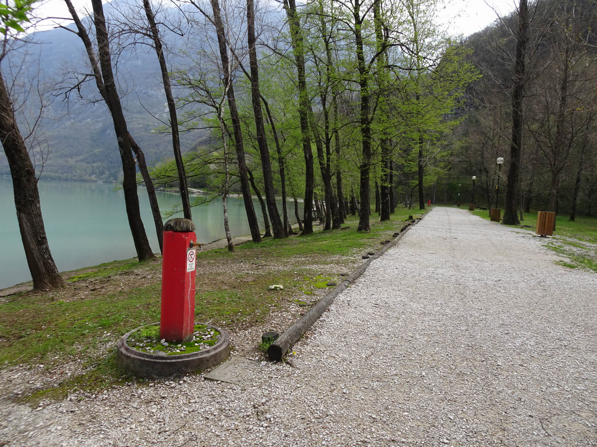
Photo 27 - Gravel path
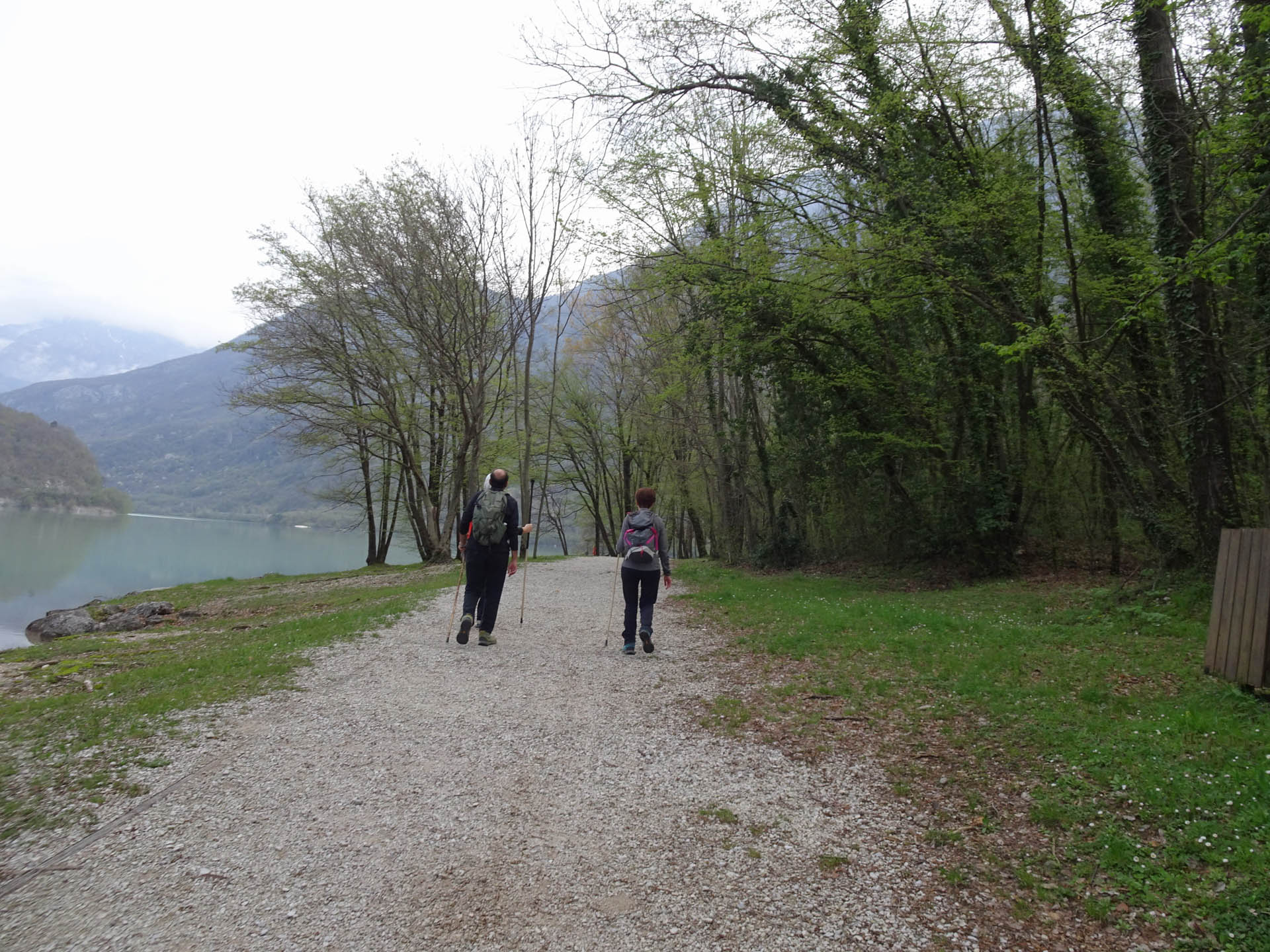
Photo 28 - Gravel path
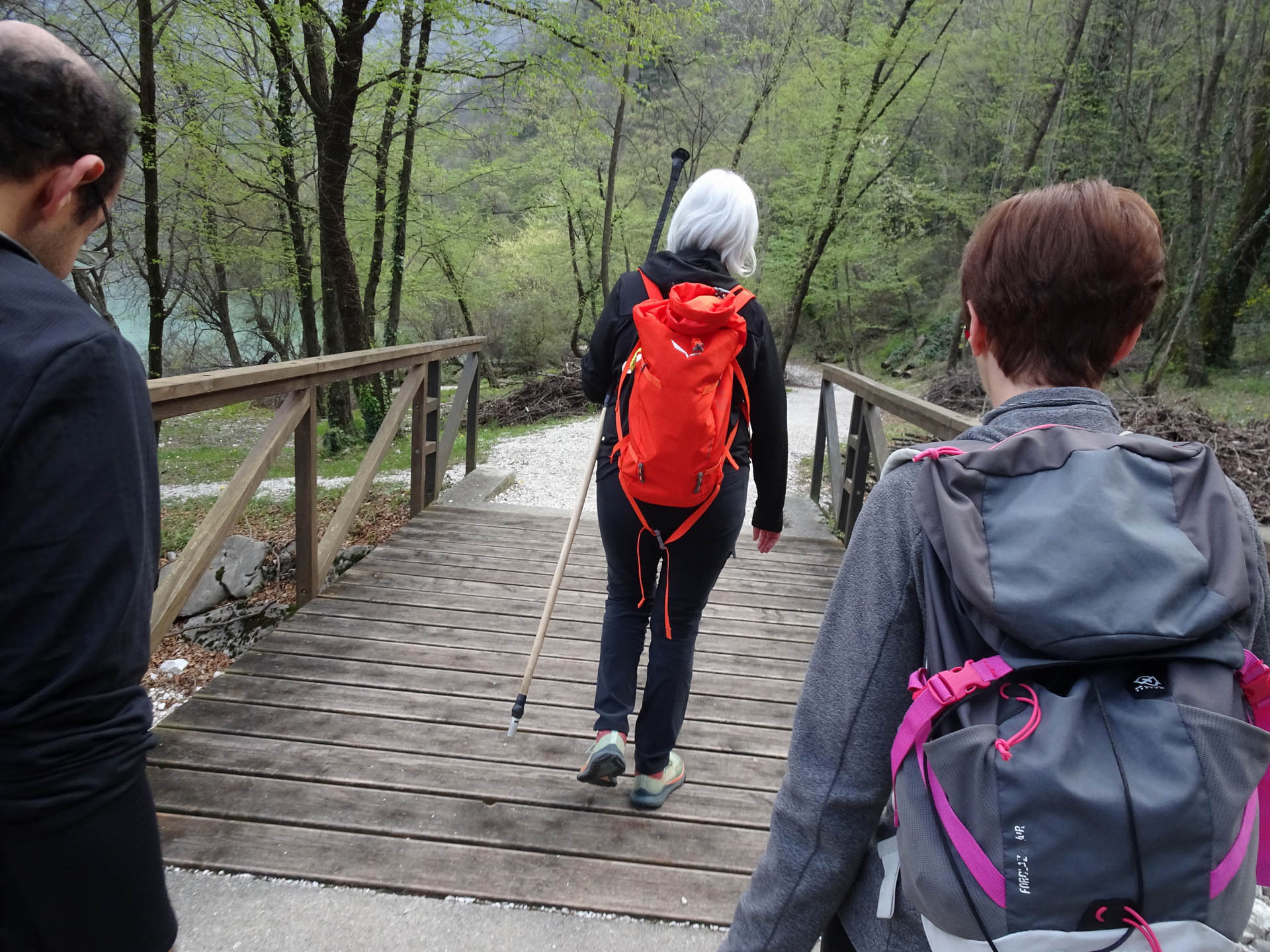
Photo 29 - Passage on wooden bridge
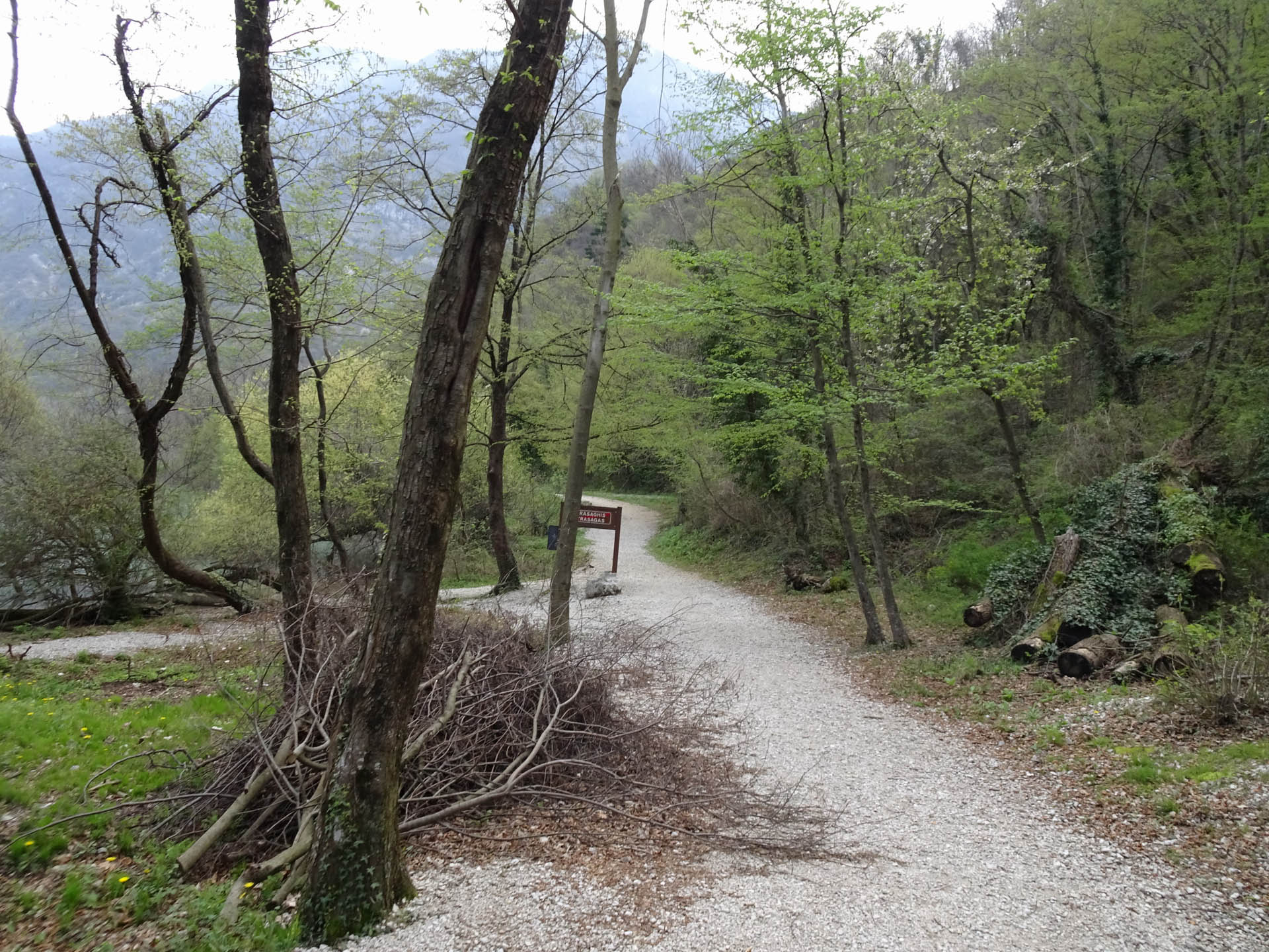
Photo 30 - Gravel path
During the walk, you will cross some wooden walkways (Photo 31-32) and in some sections the road has a gravel surface (Photo 33-34) and at km 5 from the start, you arrive at the area of the Ecomuseum of Bordano. Here there is the information panel of the 10,000 steps (Photo 35-36).
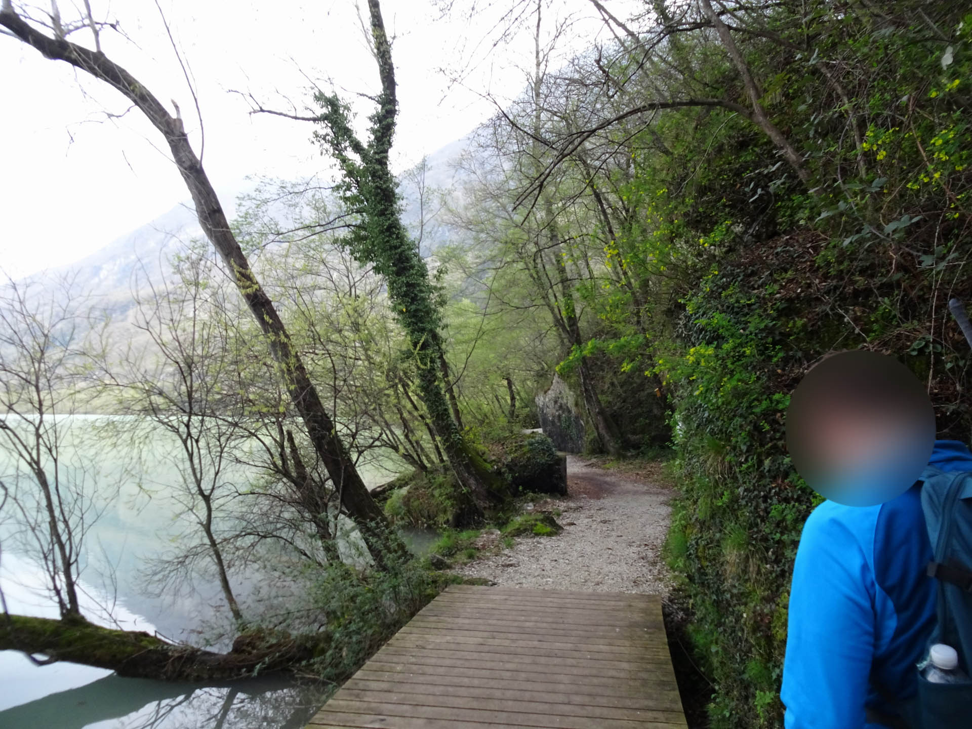
Photo 31 - Passage on wooden walkway
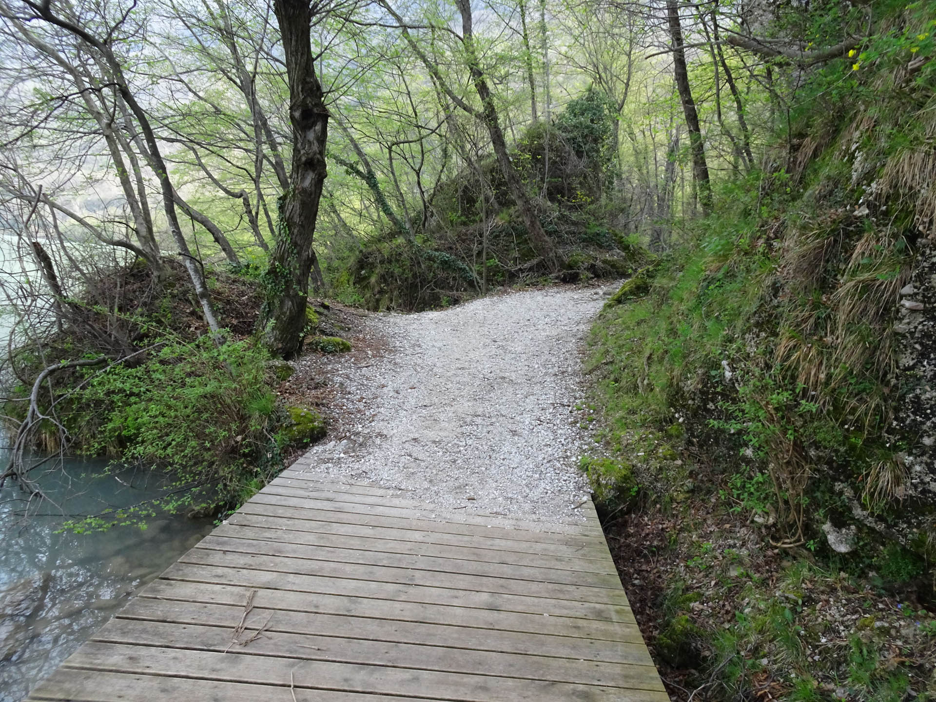
Photo 32 - Passage on wooden walkway
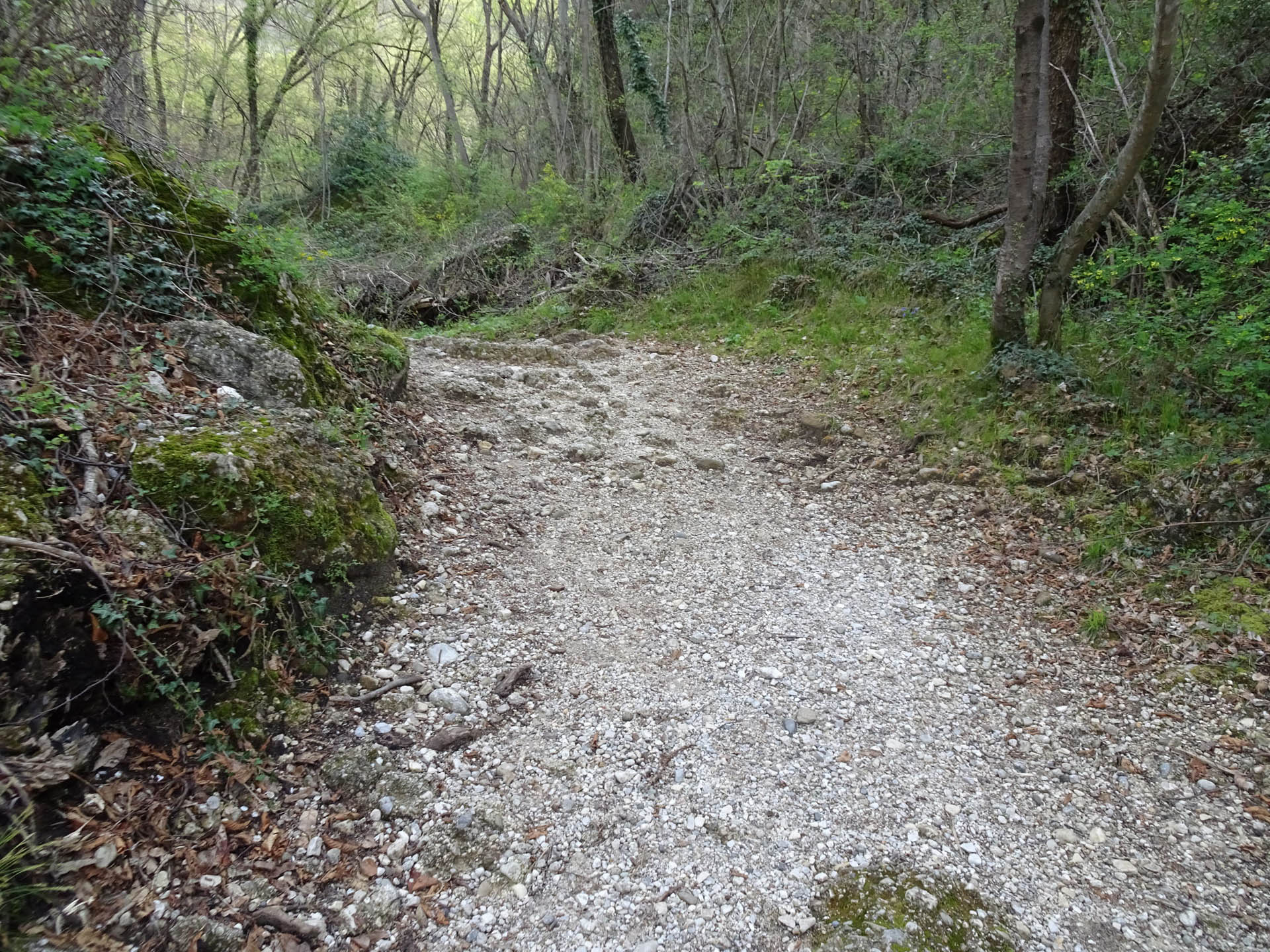
Photo 33 - Path on gravel and stone road
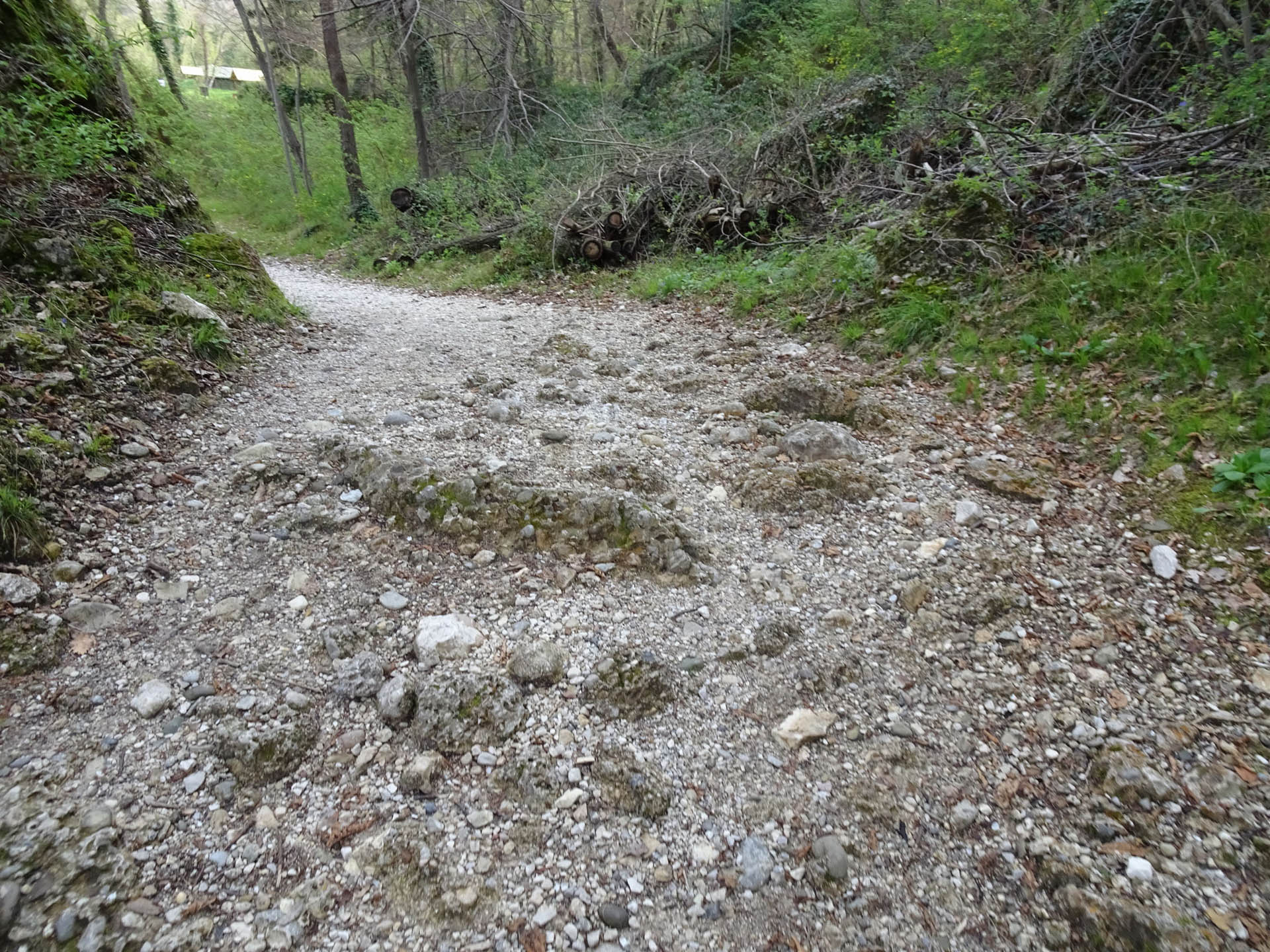
Photo 34 - Path on gravel and stone road
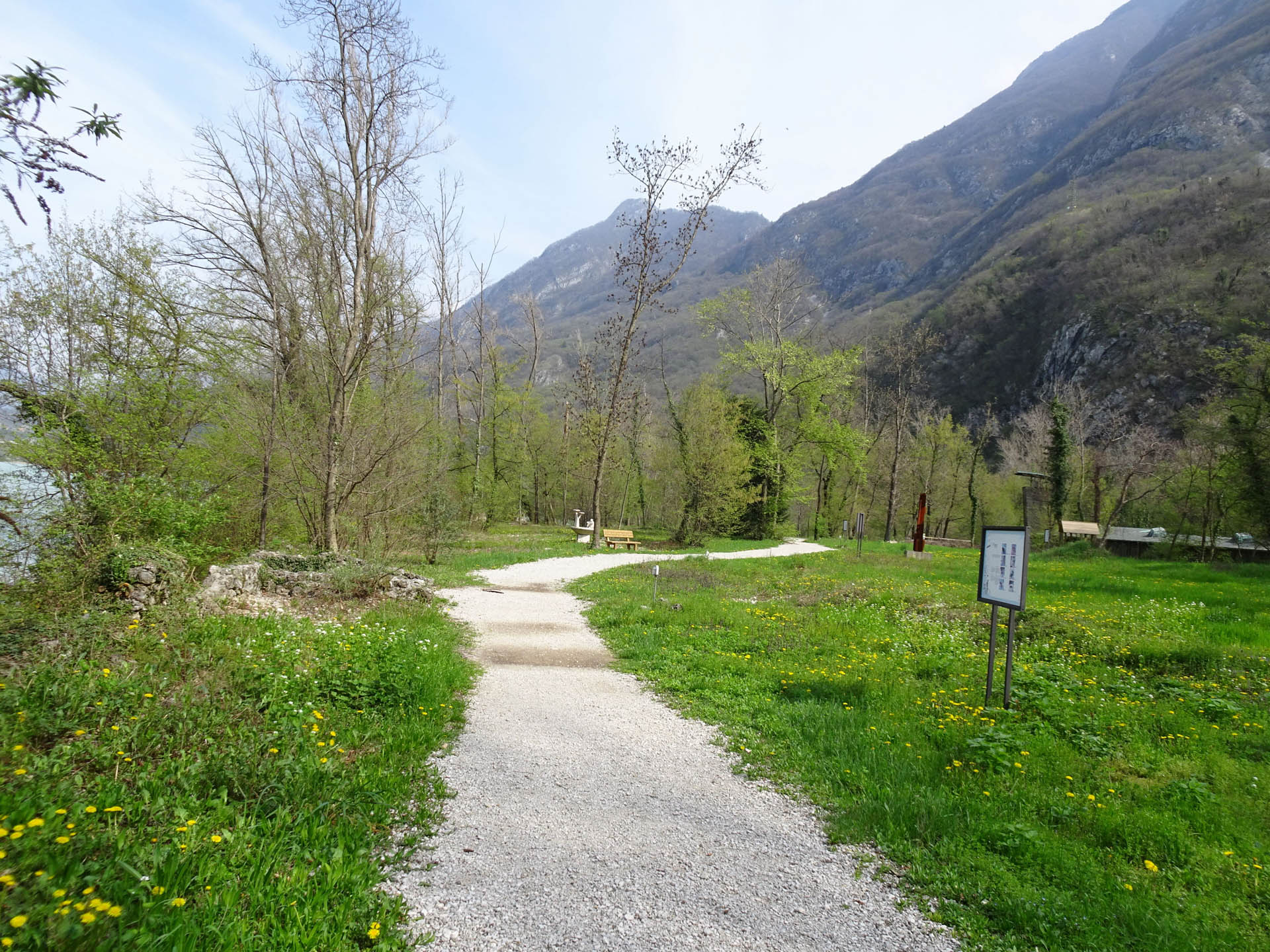
Photo 35 - Path on gravel road
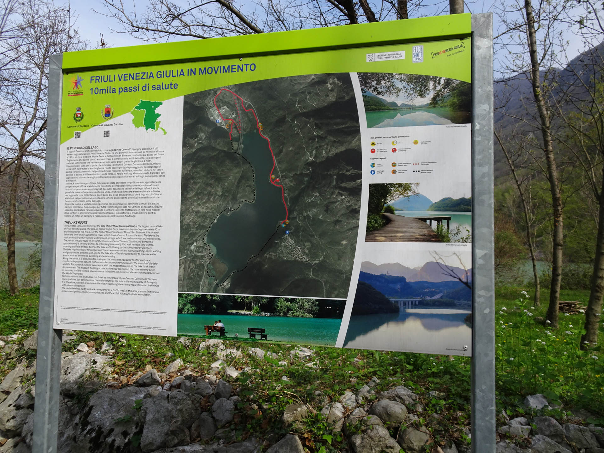
Photo 36 - Information panel
You continue along the lake on a path with gravel and stones (Photos 37 and 38-39).
At 5.7 km from the start, there is a catchment area without a crossing bridge that can only be crossed by walking through the watercourse (Photo 40-41). Once crossed, you proceed on the gravel path (Photo 42).
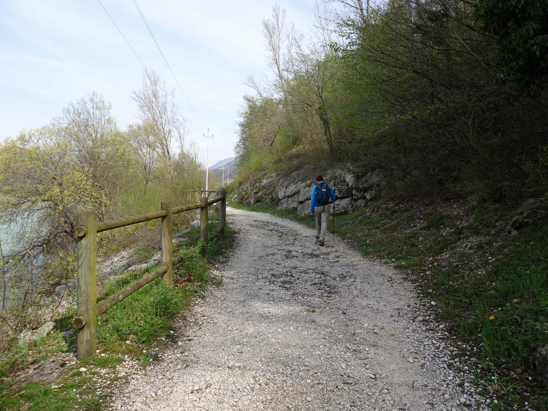
Photo 37 - Gravel road path
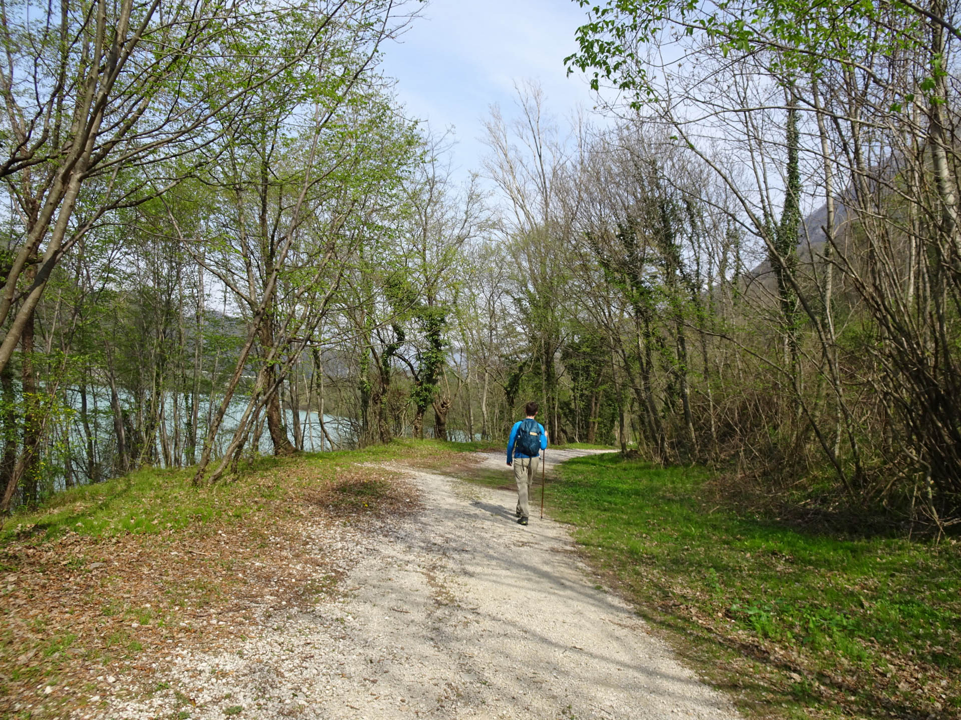
Photo 38 - Gravel road path
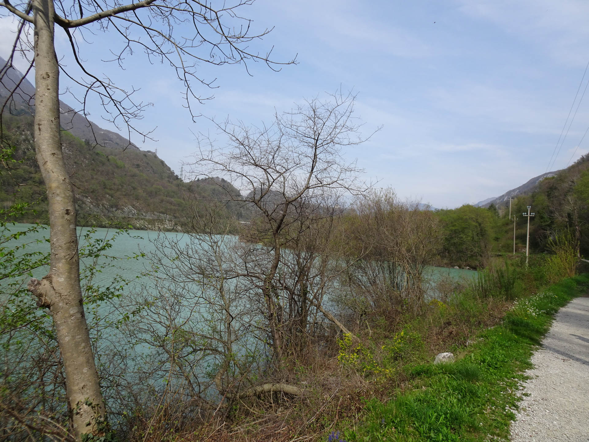
Photo 39 - Gravel road path
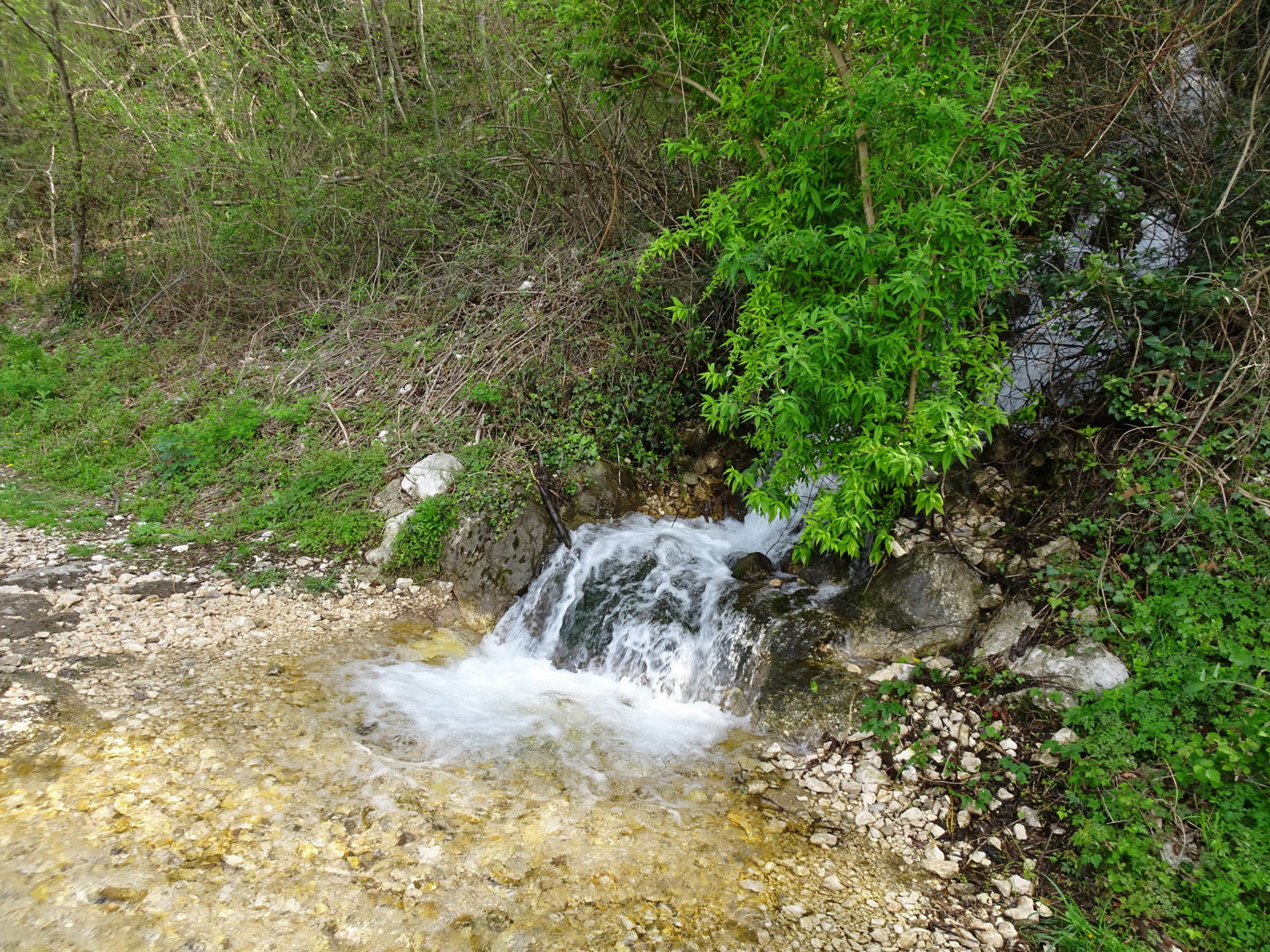
Photo 40 - Drainage
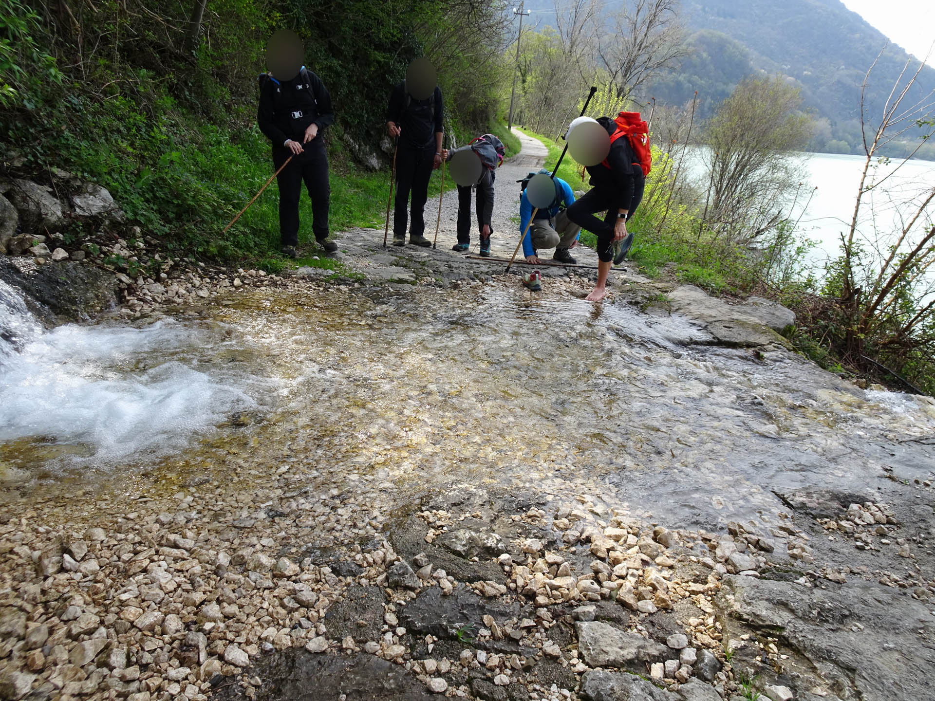
Photo 41 - Drainage
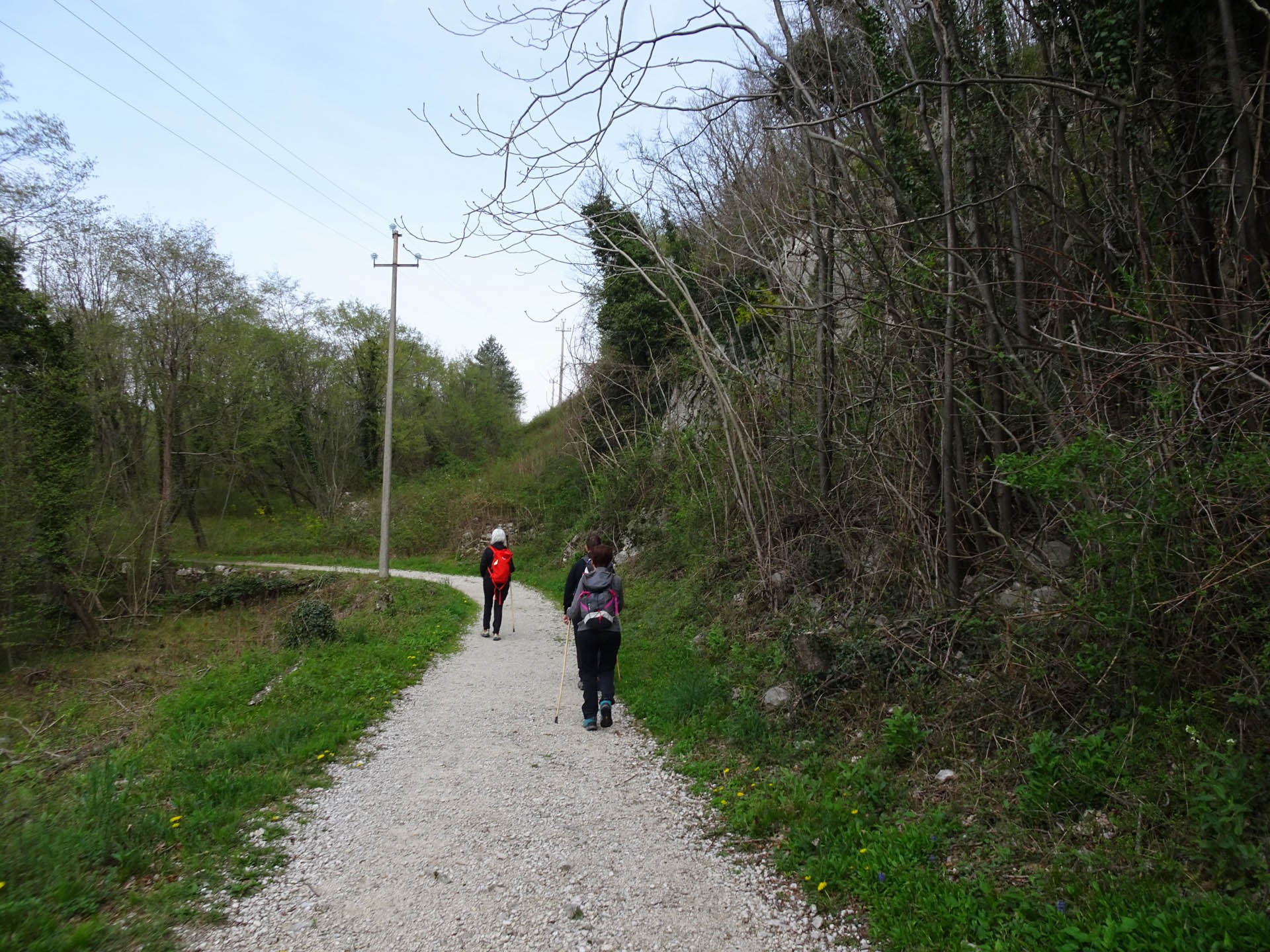
Photo 42 - Gravel road path
The path proceeds through a forest where the ground becomes uneven (Photo 43-44).
Continuing, there is a staircase with high steps (Photos 45-46) and follows a stretch where the path, between the lake below and the dirt road above, narrows. On the lake side, the path is protected by a wooden fence (Photos 47-48).
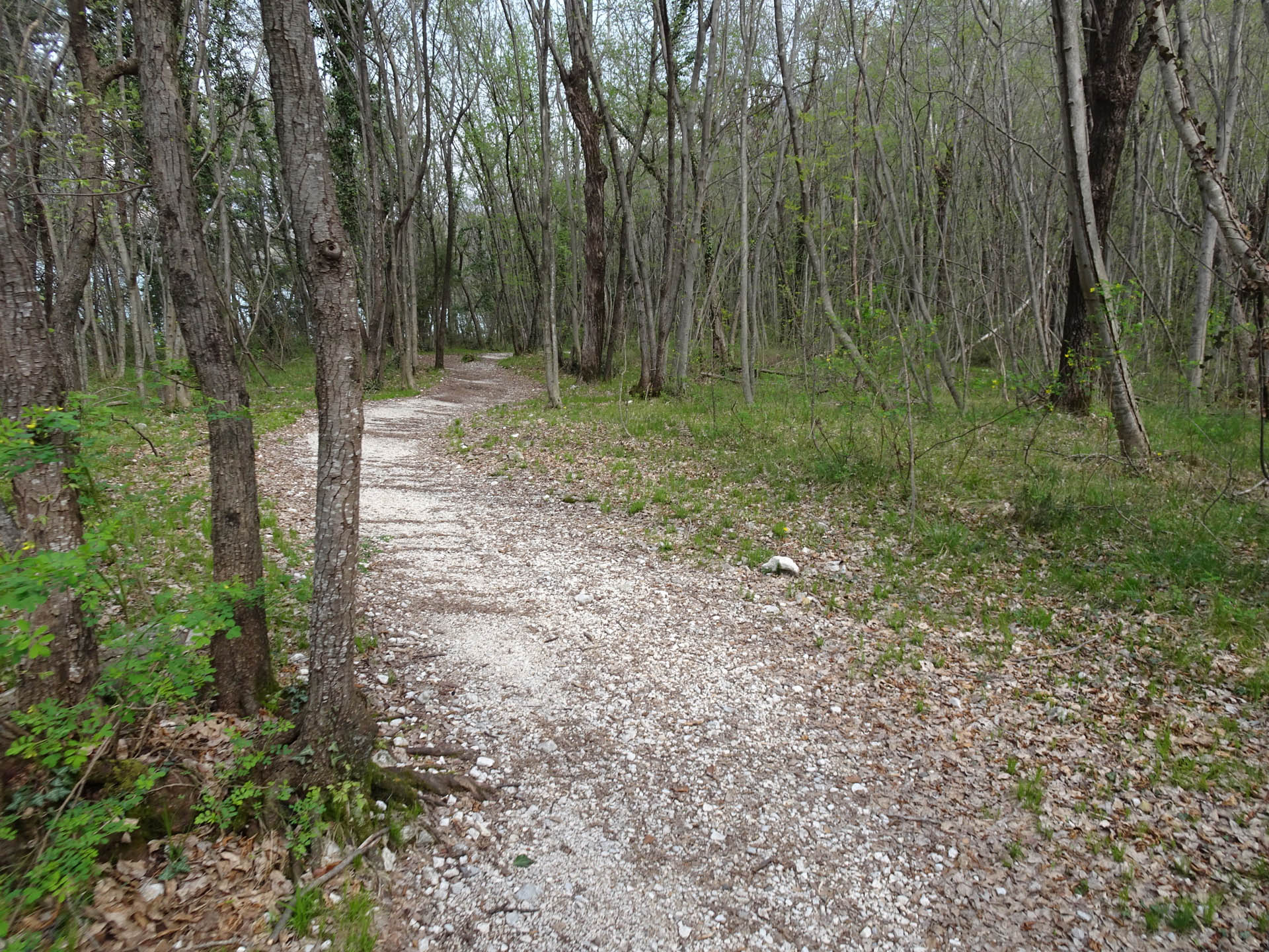
Photo 43 - Path on gravel trail
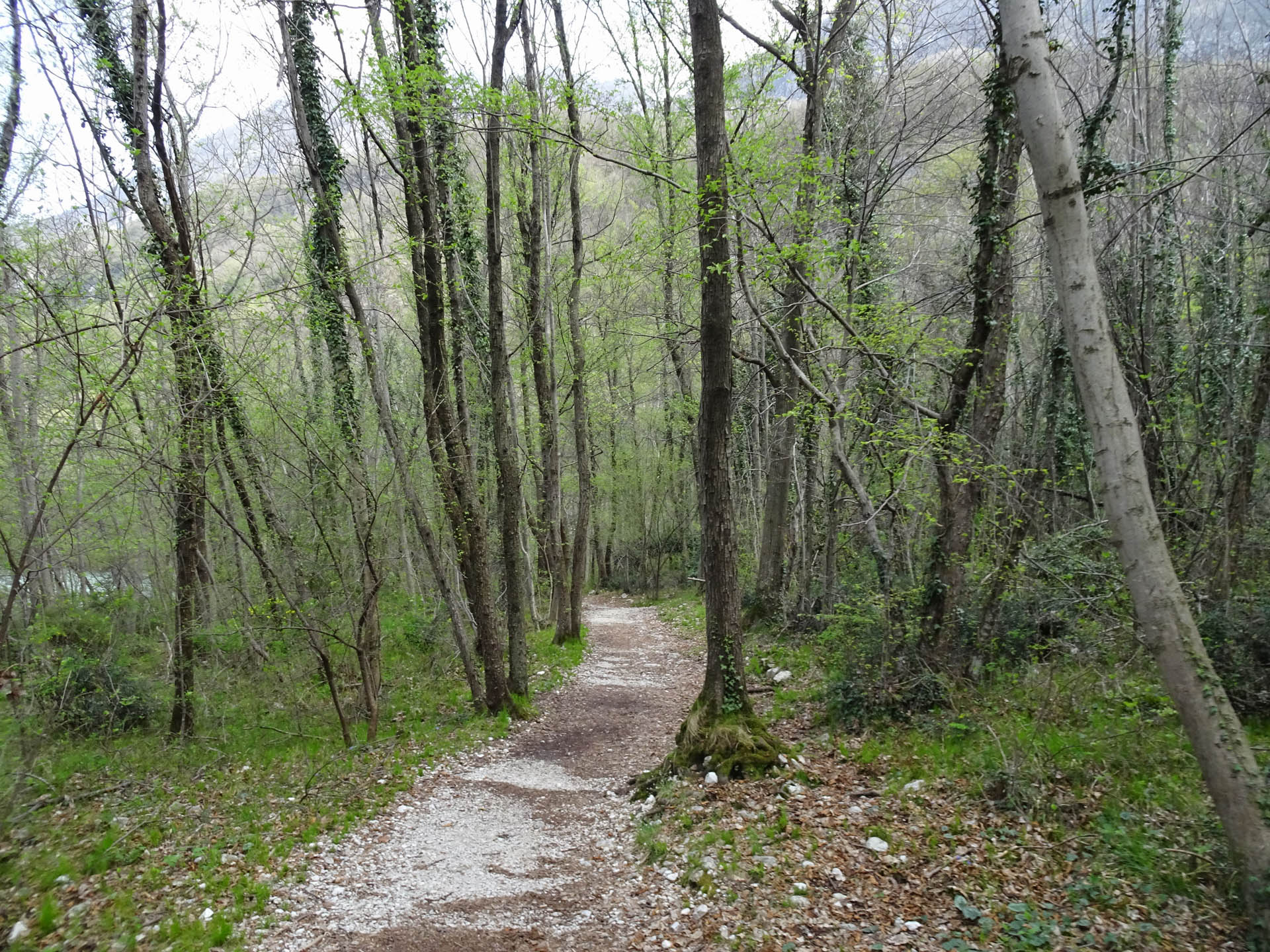
Photo 44 - Path on gravel trail
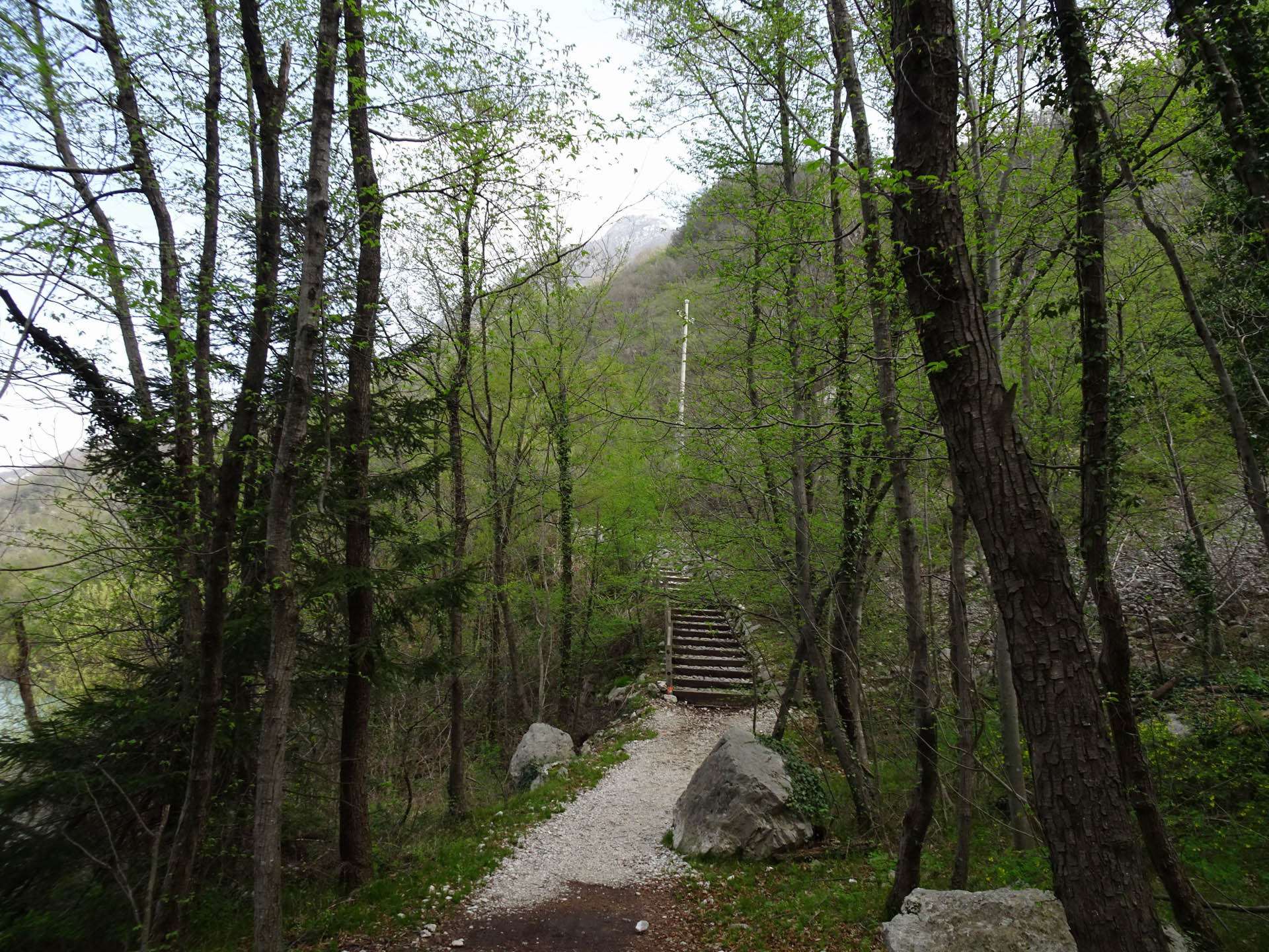
Photo 45 - Staircase with stone steps

Photo 46 - Staircase with stone steps

Photo 47 - Path on gravel trail
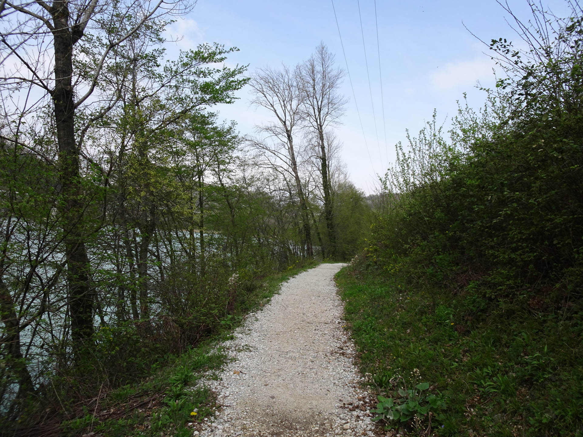
Photo 48 - Path on gravel trail
The route resumes descending on a rough stretch with medium-sized stones (Photo 49-50). Continuing, two walkways are crossed and another walkway is reached (Photo 51-52).
Just after 7 km, another walkway is reached that curves (Photo 53, 54) and shortly after, another short bridge with a higher step (Photo 55).
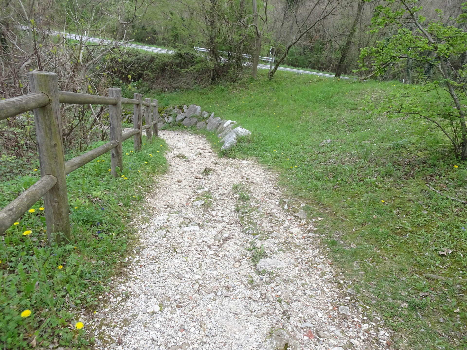
Photo 49 - Path on gravel trail
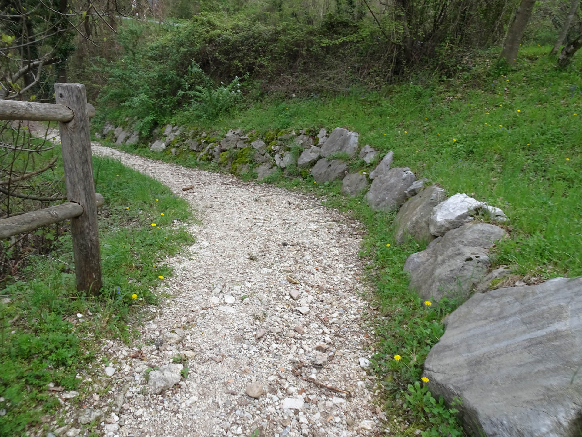
Photo 50 - Path on gravel trail
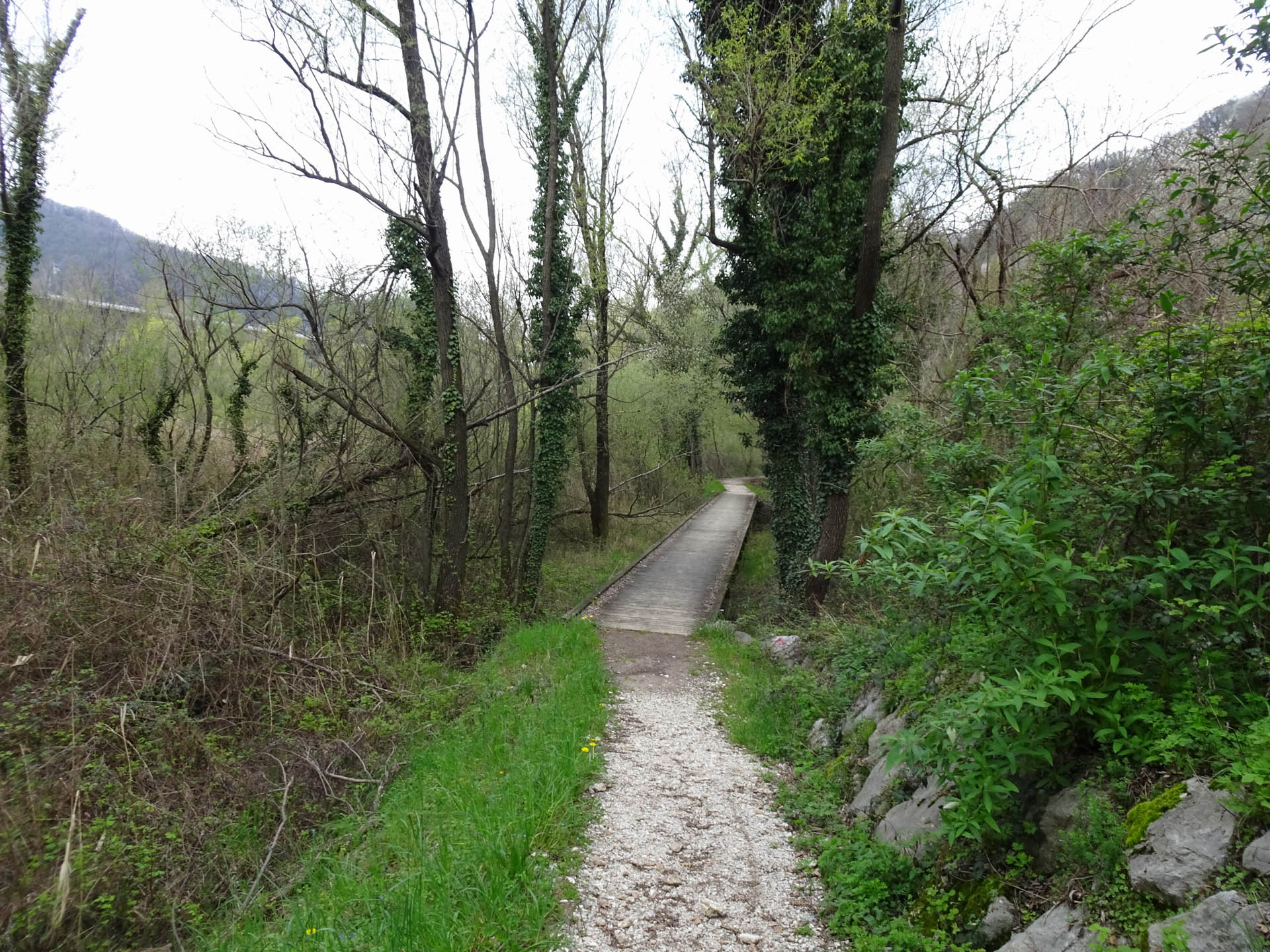
Photo 51 - Path on wooden walkway
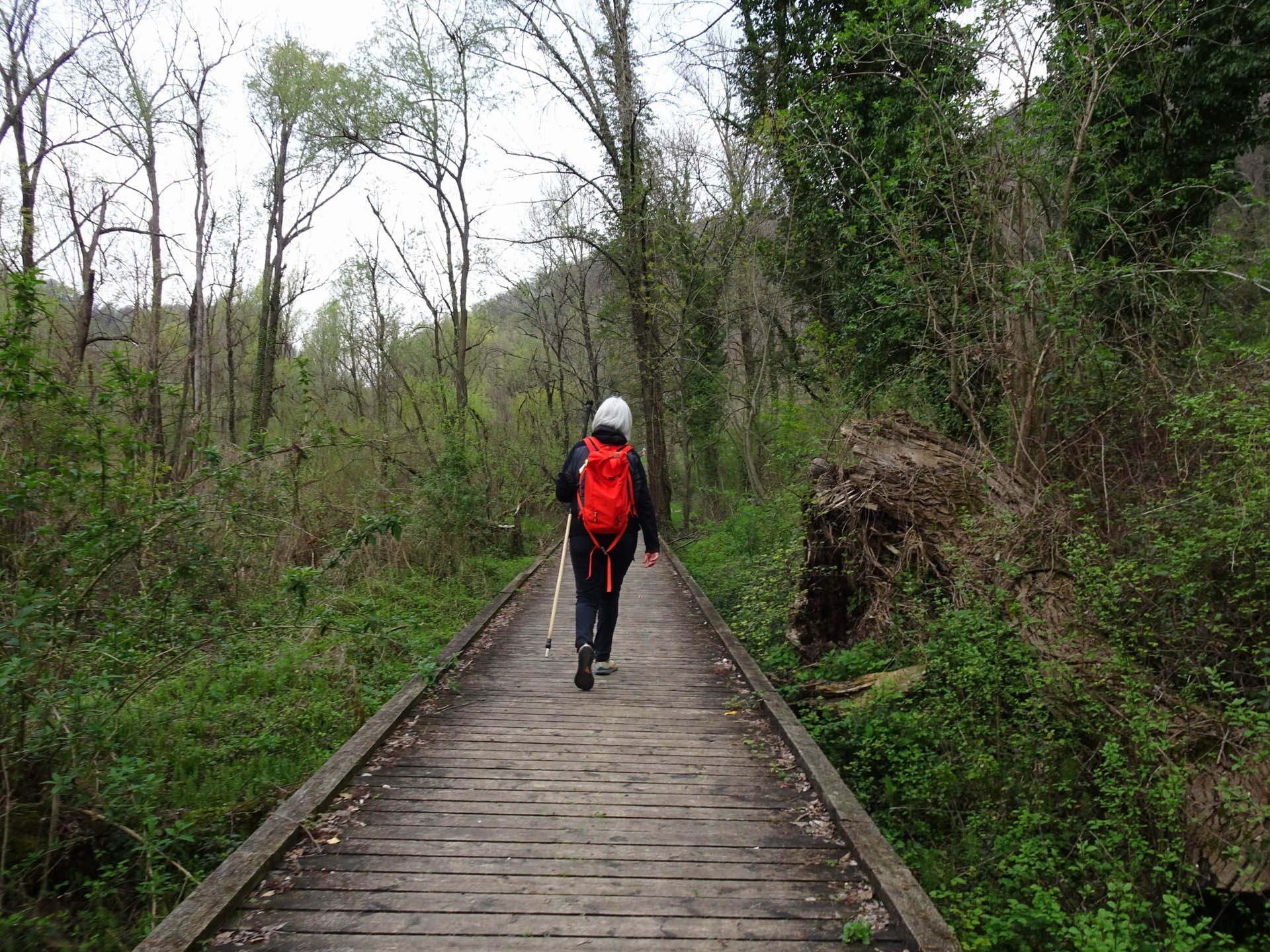
Photo 52 - Path on wooden walkway
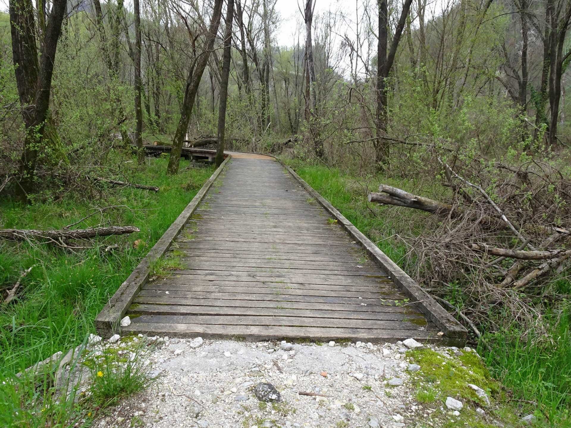
Photo 53 - Path on wooden walkway
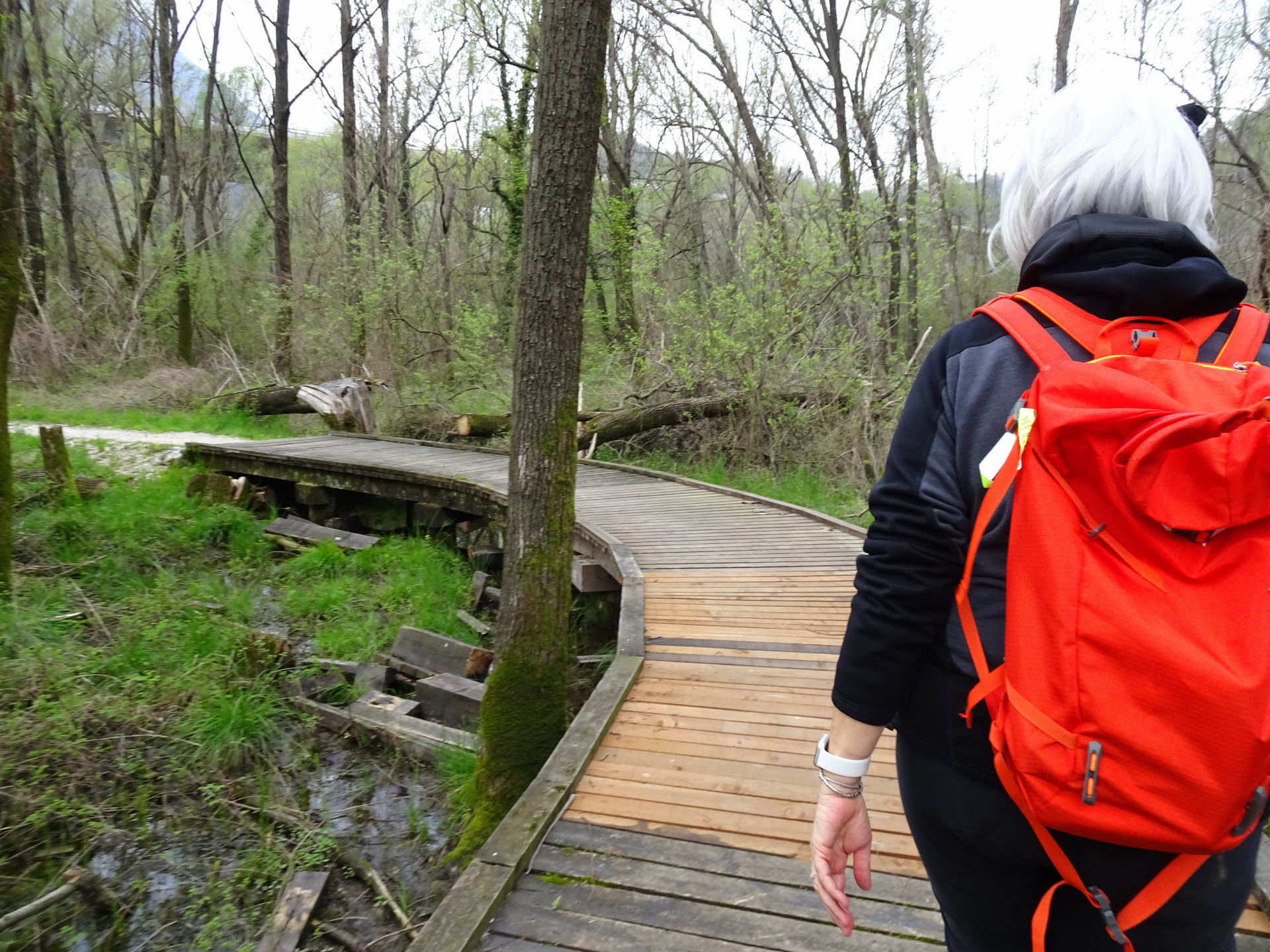
Photo 54 - Path on wooden walkway
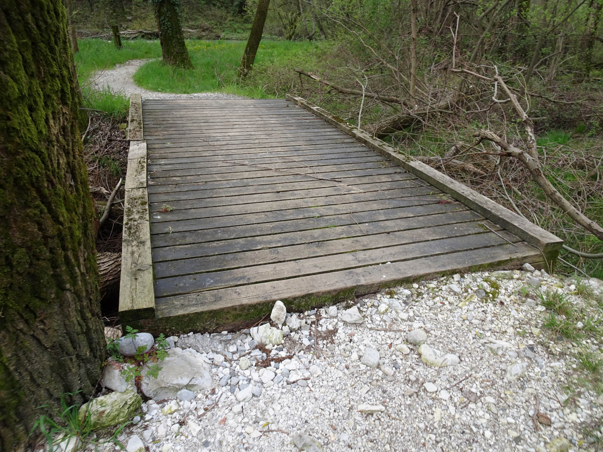
Photo 55 - Path on wooden walkway
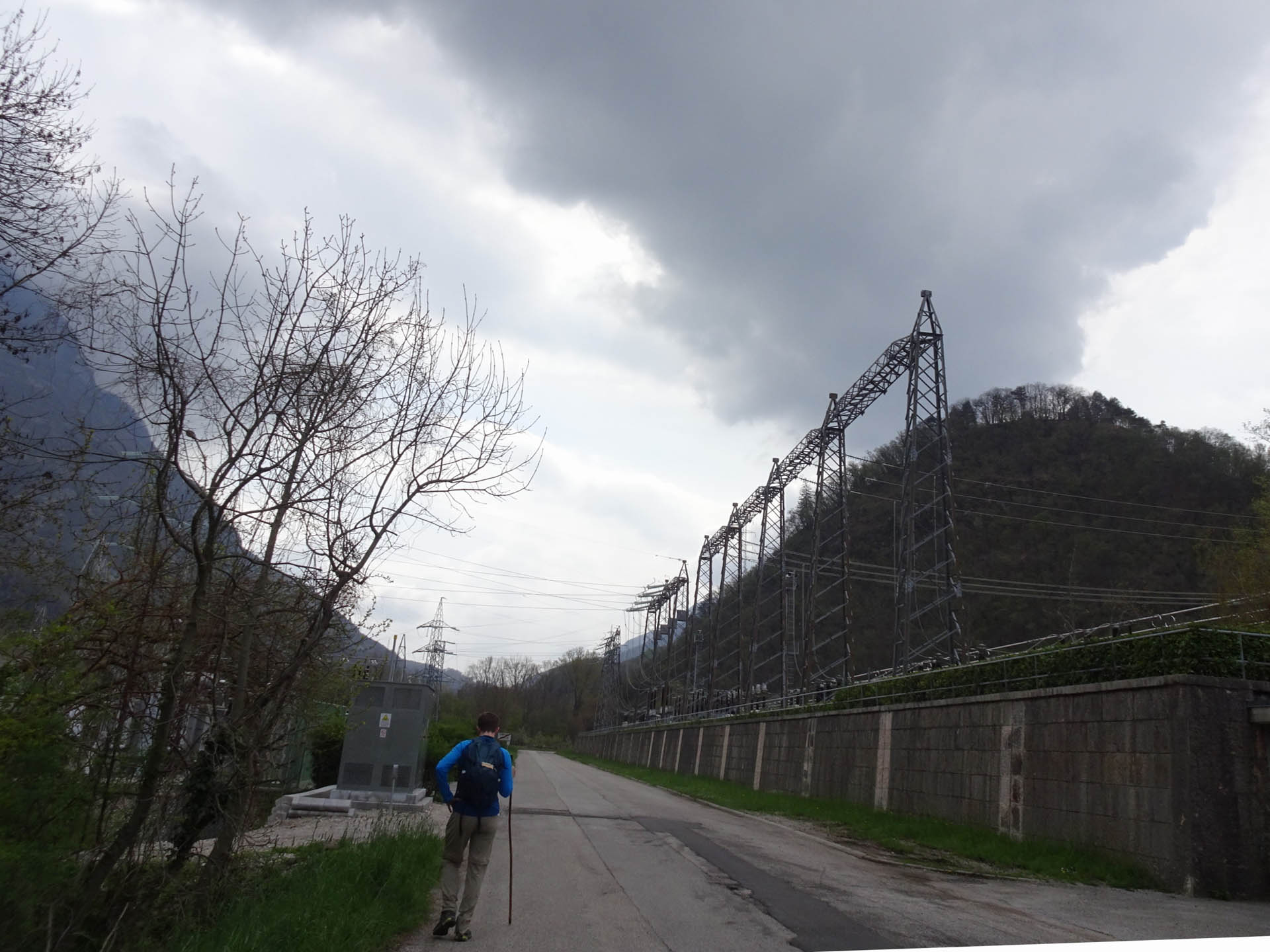
Proceed towards Somplago and cross the highway viaduct (Photo 56).
At the intersection with the main road, near Somplago, there is a sign indicating the route (Photo 57).
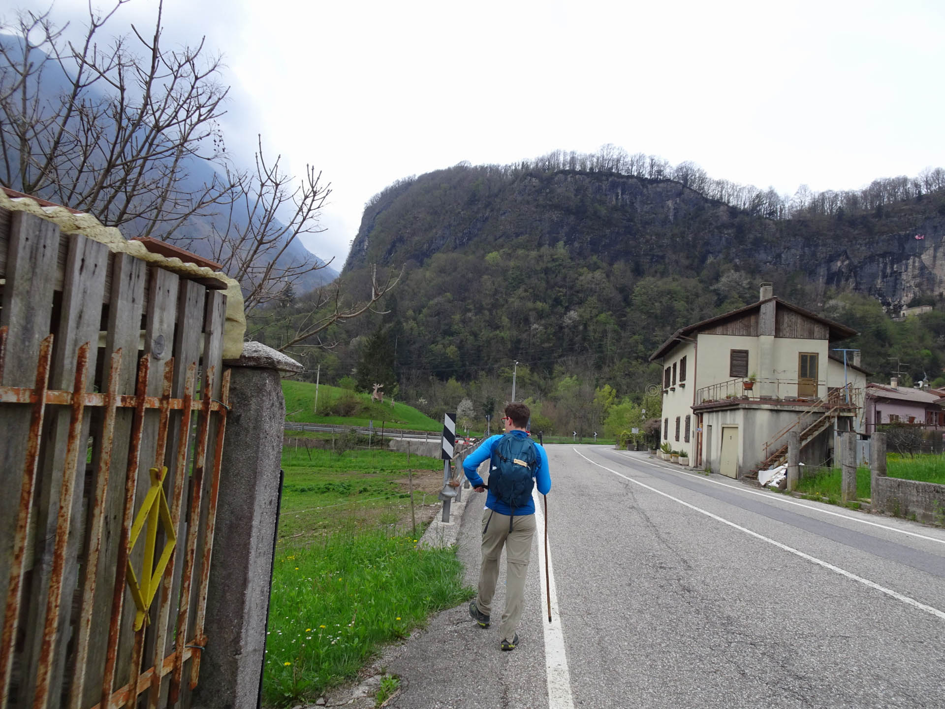
Continue on a narrow walkway, then inevitably proceed along the edge of the road (Photo 58, 59). A little further on, at km 7.7 from the start, leave the main road and continue left on a paved road (with low traffic intensity)
The last stretch of the route is characterized by the view of the Power Plant and the loop ends by returning to the parking lot (Photo 60-61)
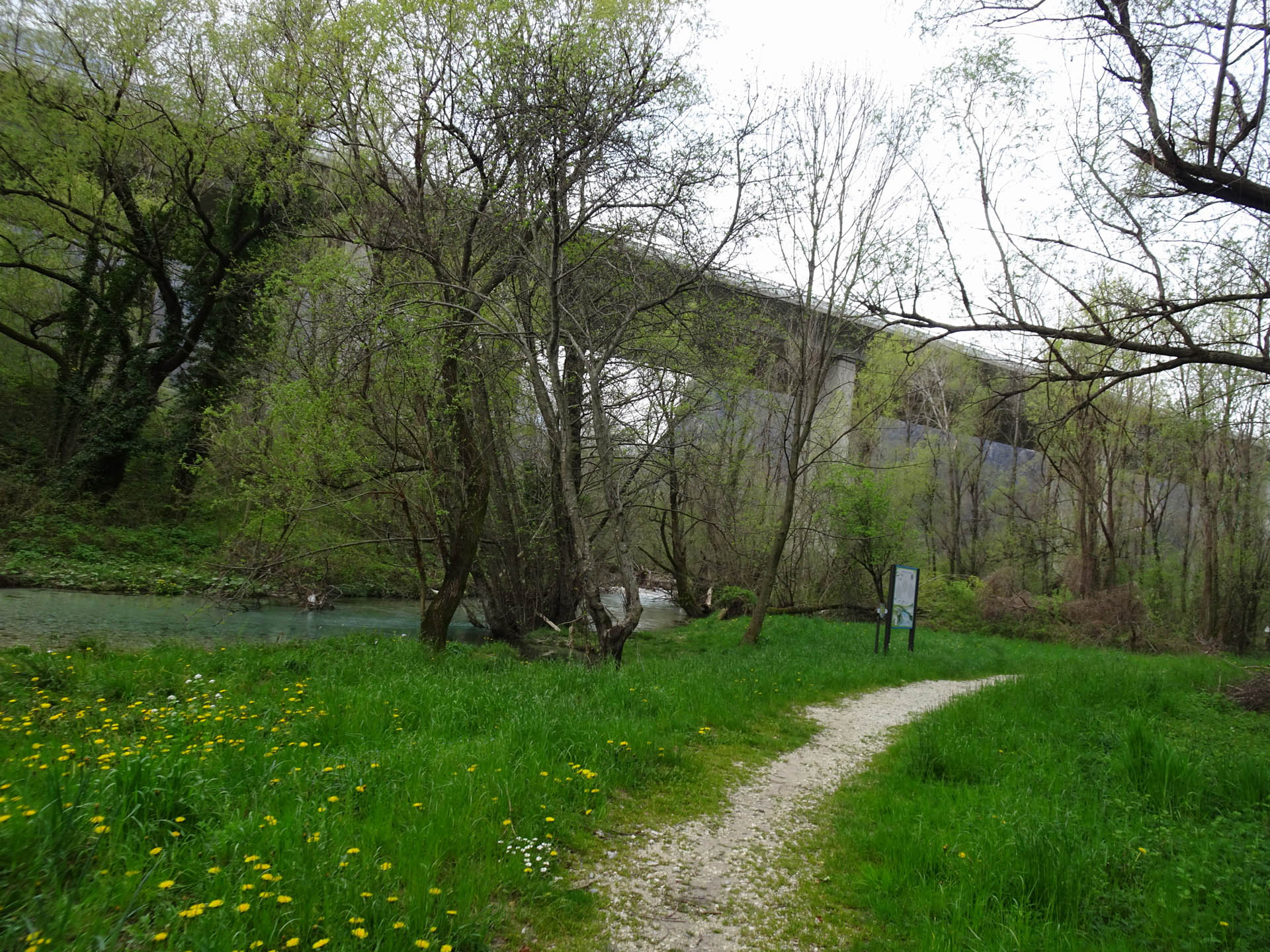
Photo 56 - Path on dirt trail
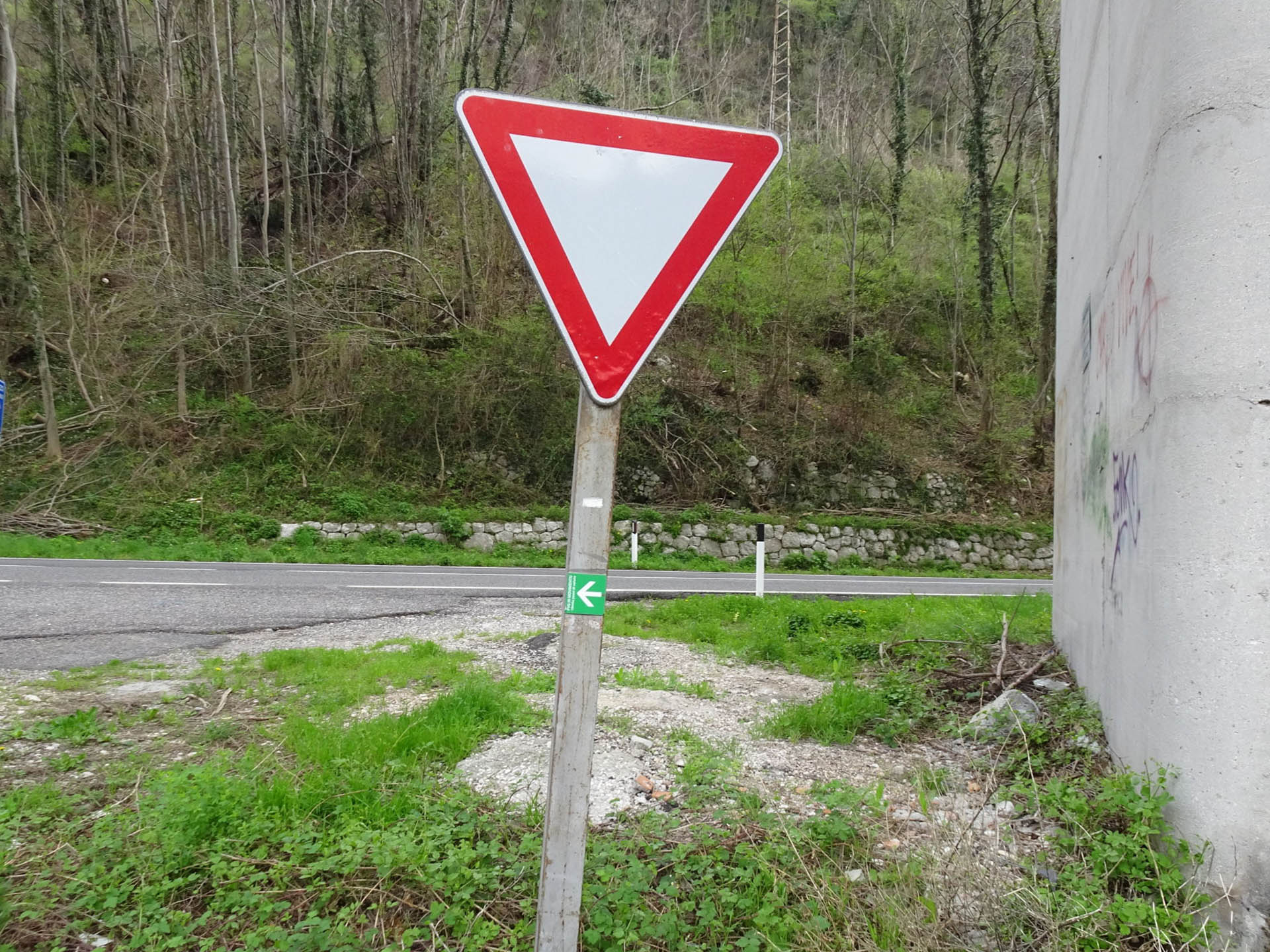
Photo 57 - Path indication sign
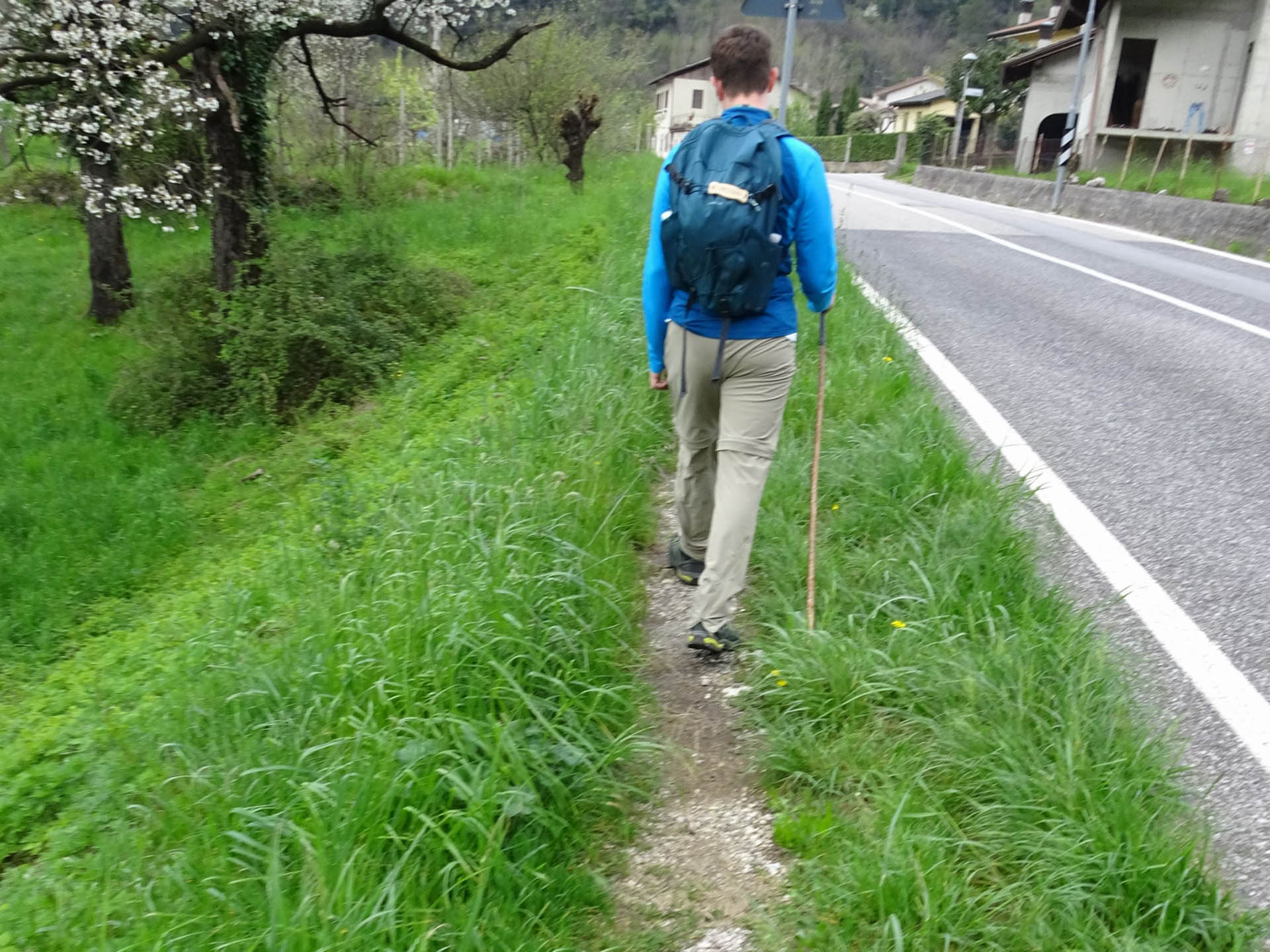
Photo 58 - Narrow walkway
Path 59 - Path on paved road
Path 60 - Path on paved road
Path 61 - Starting point