Duino - Path from the Fisherman's Village to the Church of St. John in Tuba

Sea
GENERAL INFORMATION
LAST INSPECTION DATE
18/11/2023
PLANNED ITINERARY
Duino - Path from the Fisherman's Village to the Church of St. John in Tuba
LENGTH
1661 meters
DEPARTURE
Parking of the Fisherman's Village
The path starts from the Fisherman's Village between Duino and Monfalcone, in a small bay equipped with a port. The settlement has been known since 1994 for the world-renowned discovery of a medium-large dinosaur fossil at the former limestone quarry. The route leads to another natural wonder, the Timavo Mouths, a karst river that certainly constitutes one of the most exceptional hydrogeological cases of the karst phenomenon: its course is approximately 70 km long and unfolds in a hidden network of underground waterways that re-emerge near the Church of San Giovanni in Tuba, the endpoint of the route and a magnificent architectural example built between 1399 and 1472 - with subsequent alterations until the 17th century - and rising on remains existing since the 6th-5th century AD.
The starting point is the parking lot in front of the port (Photo 1). In the parking lot, the vertical signage of a reserved space is visible (Photo 2), but it does not have any delimitation or an easy pavement; the parking area is indeed on vegetated ground with grass and gravel bordered by a rounded concrete curb, while the maneuvering area is asphalted (Photo 3).
Continue west along the asphalt road that runs alongside the Port (Photo 4, 5, 6) for about 170 m. The road has no sidewalk. After that, a slight ascent of about 80 meters, with a gentle slope of 2.1%, leads to a curve after which there is a descent with a slope of 2.4% (Photo 7).
The road narrows slightly to 4 m in width, with two-way traffic for cars and no sidewalk, with some sporadic unevenness due to patches or manholes not flush (Photo 8, 9). The road then continues straight until a dense thicket (Photo 10).
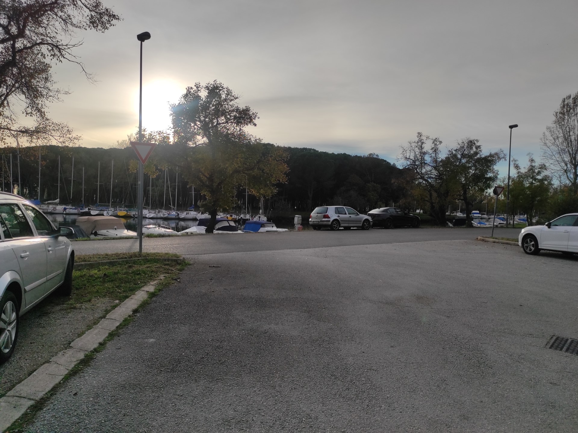
Photo 4
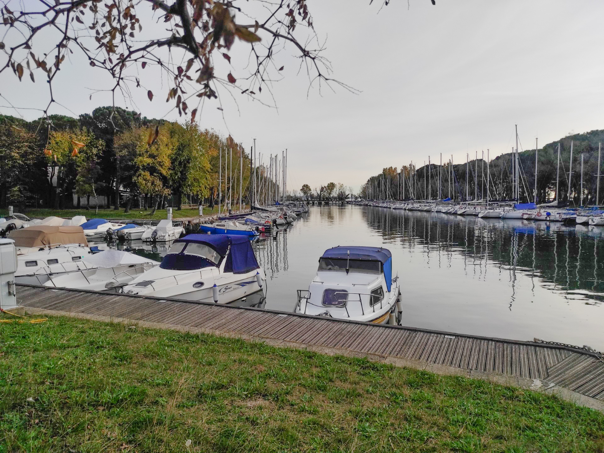
Photo 5
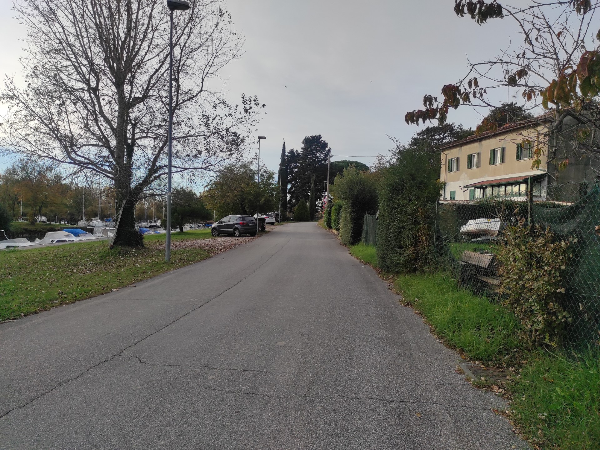
Photo 6
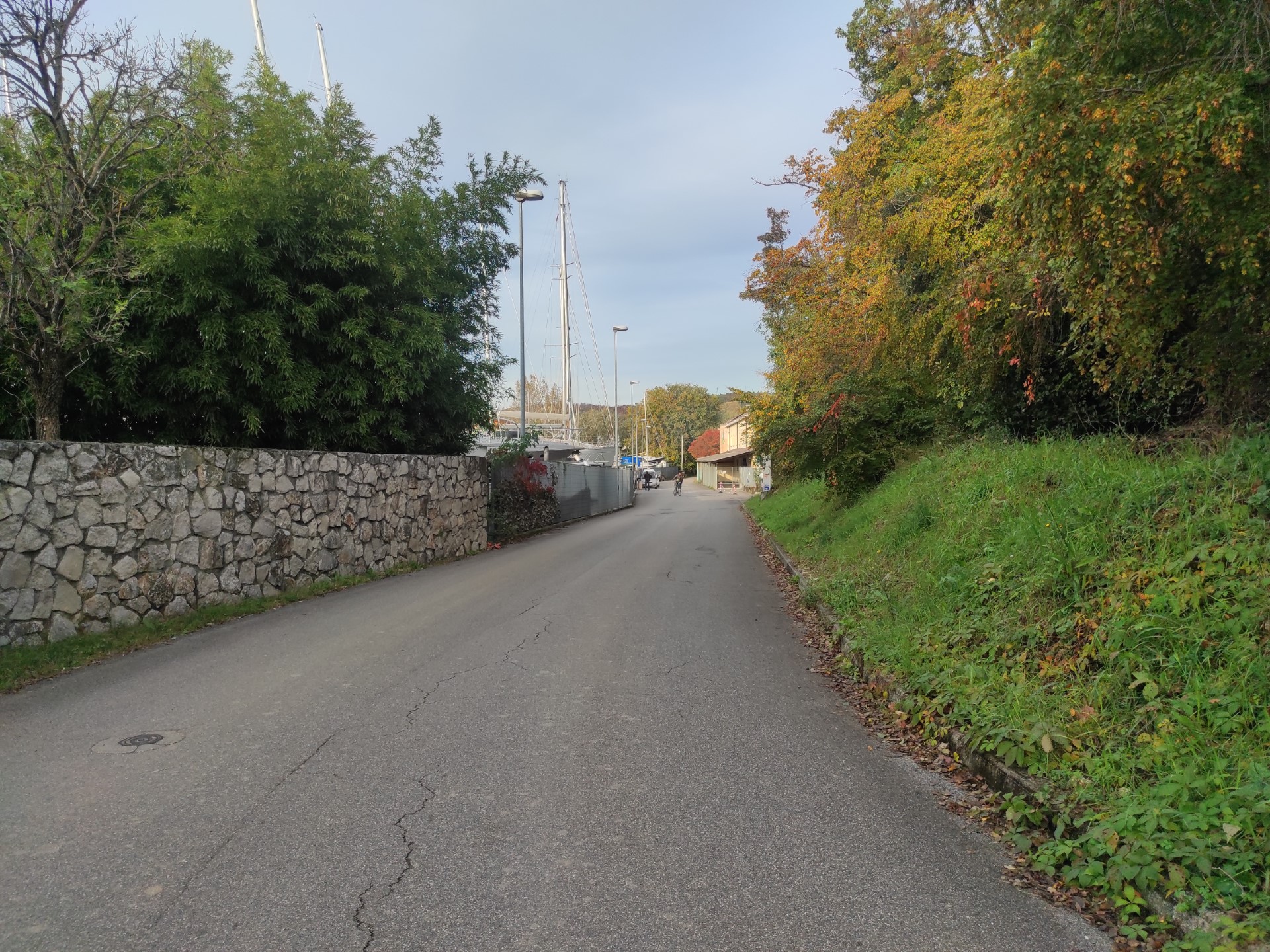
Photo 7
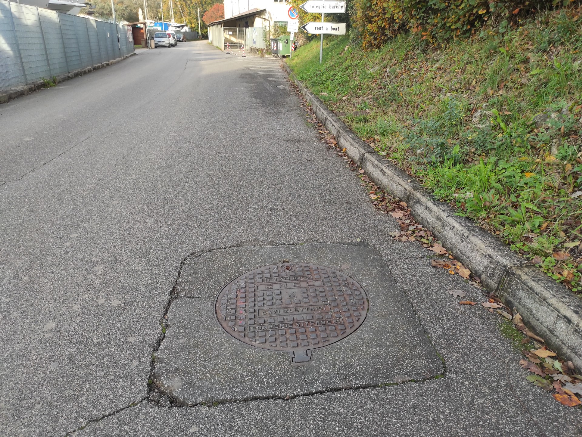
Photo 8
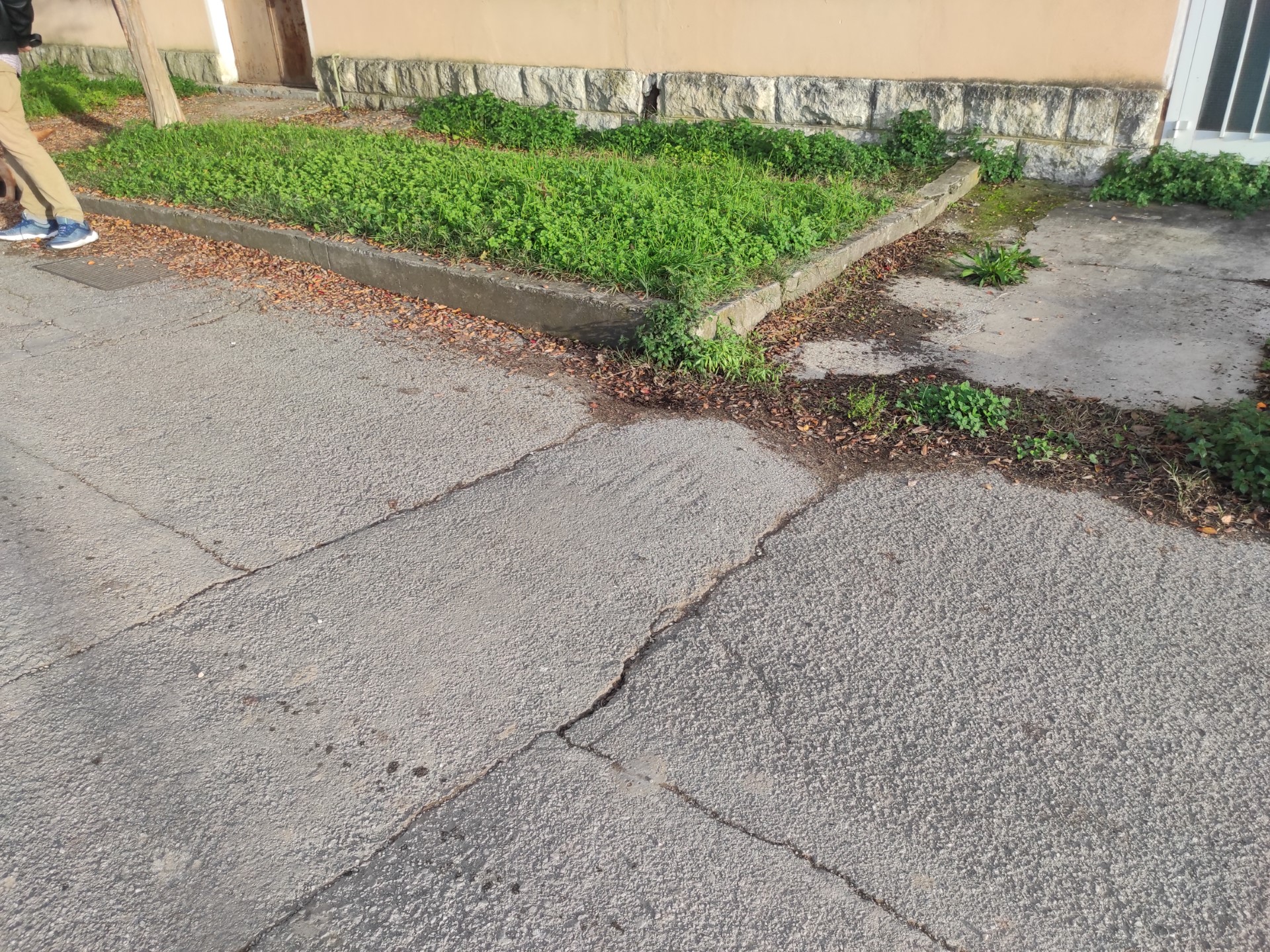
Photo 9
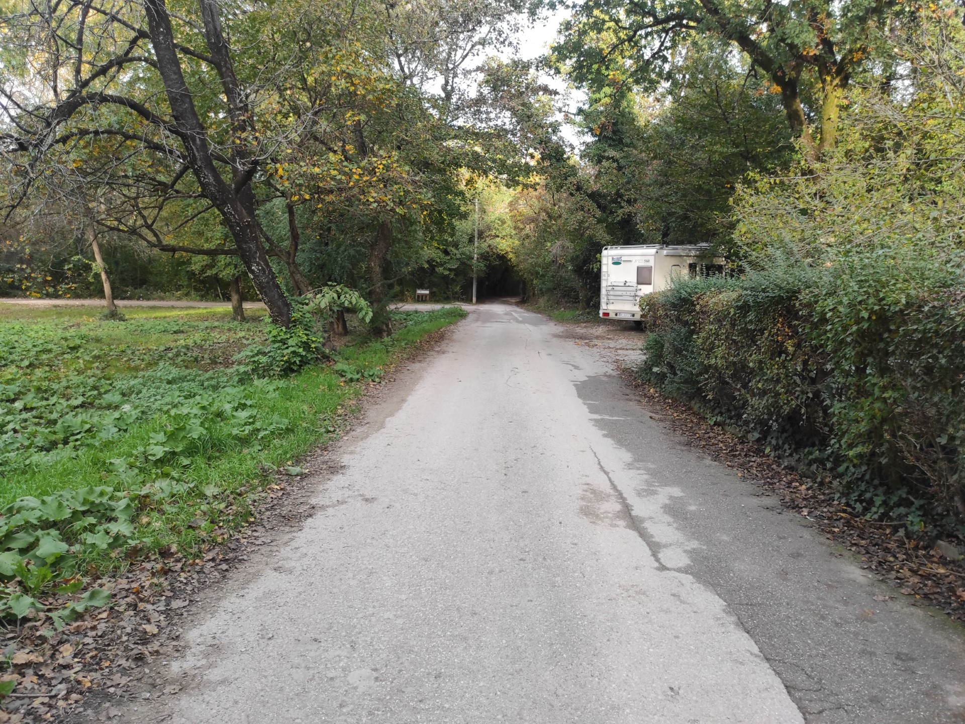
Photo 10
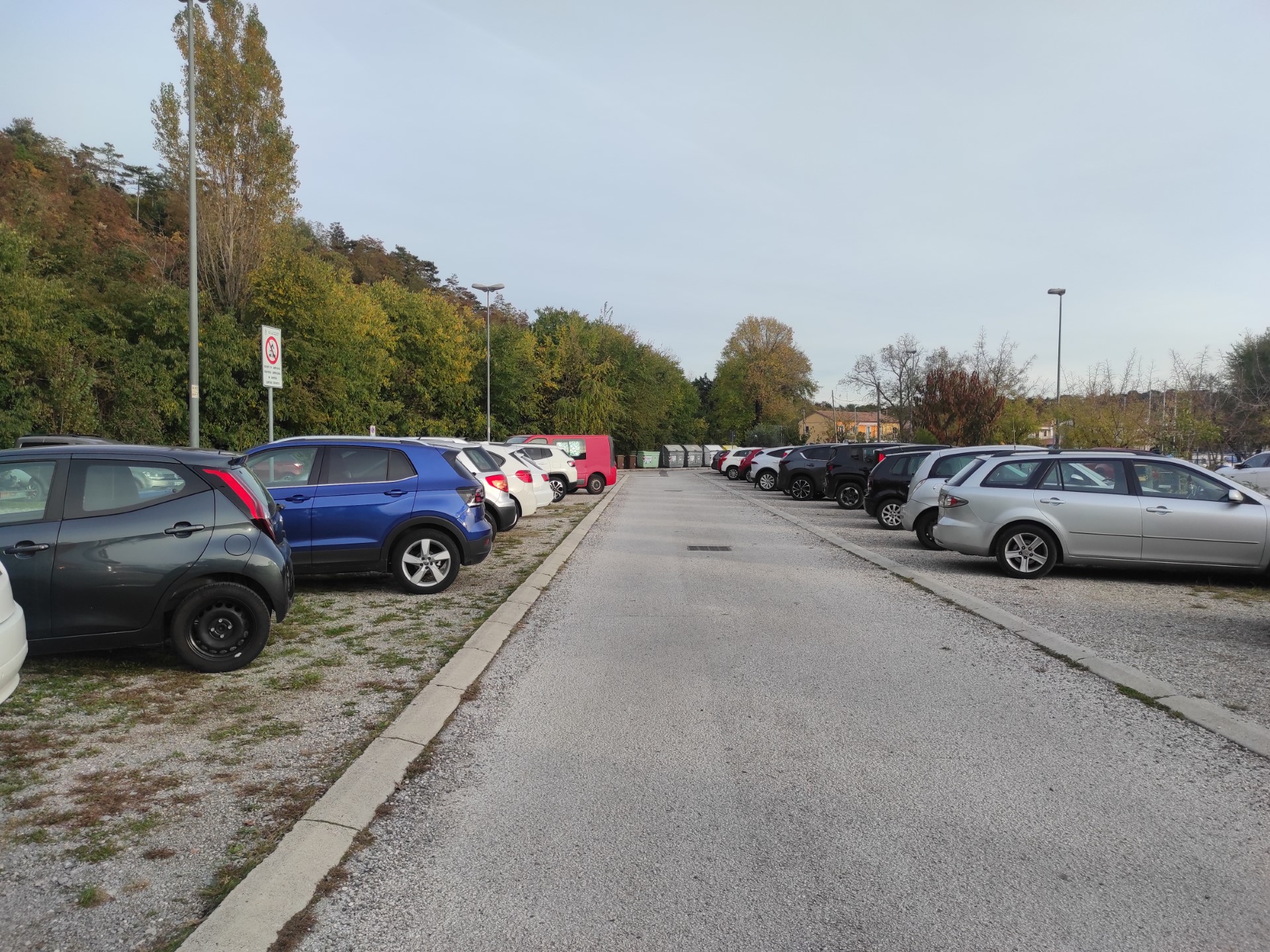
Photo 1
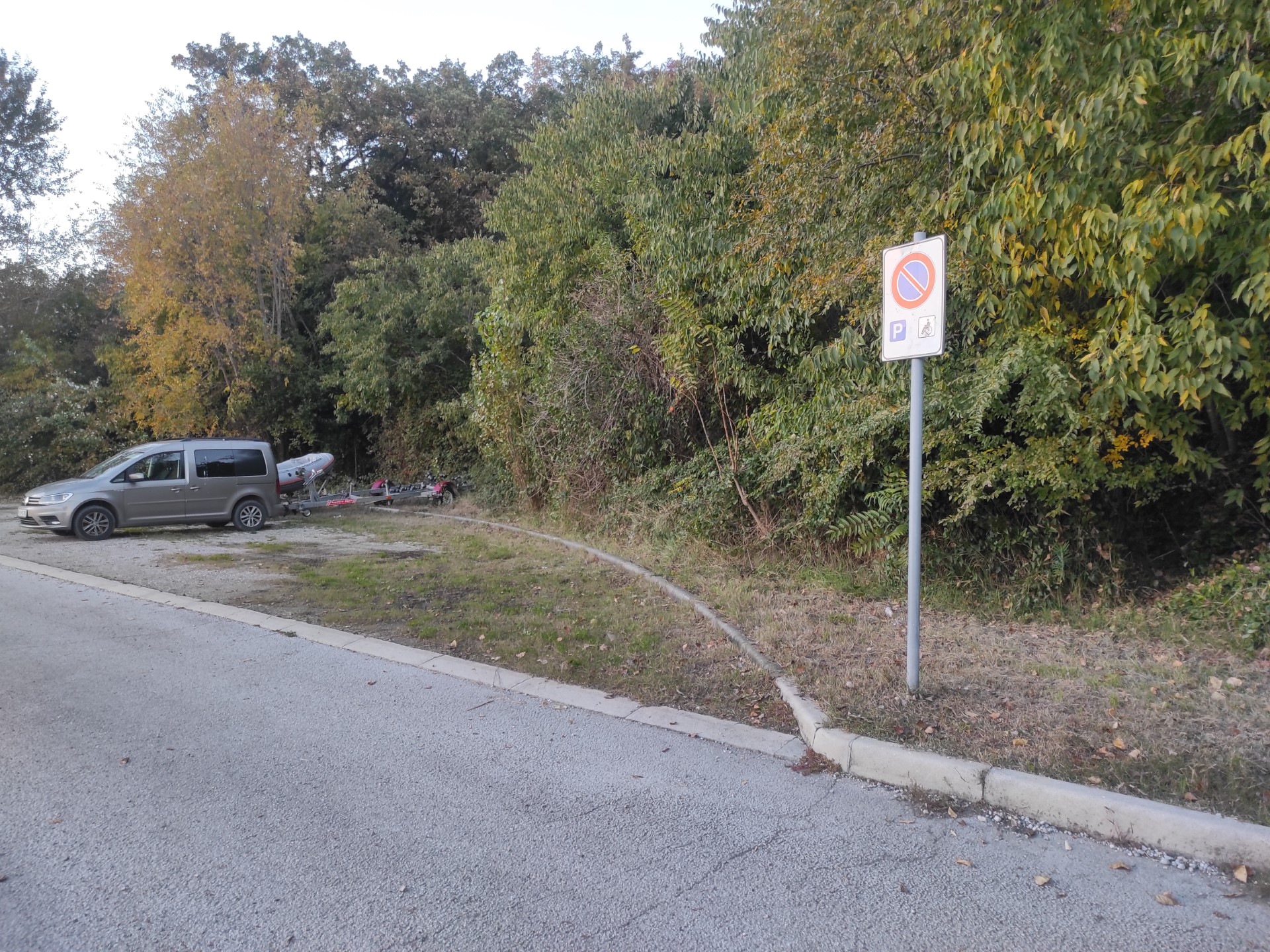
Photo 2
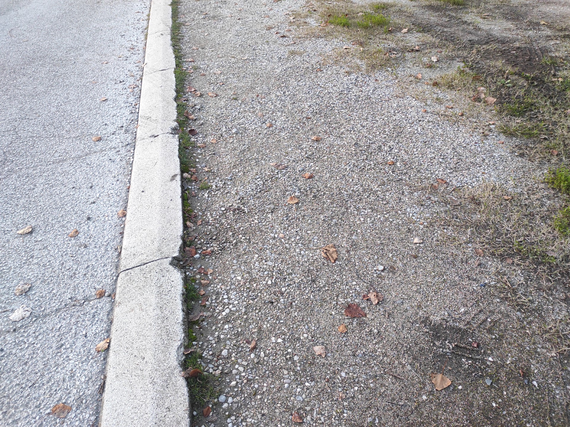
Photo 3
Upon reaching the forest, for the next 600 meters the stretch of road is frequented only by the frontists; the surface is asphalt and flat, and the presence of the dense tree canopies provides shade for almost the entire route.
At the time of the survey, in some sections the roadside on the right shows muddy areas or protruding vegetation (Photo 11).
After passing the small shrine, a gate (always open) is crossed with the indication of the CAI Path in white and red (650 meters from the start). From this point, among the shady foliage of the riparian vegetation, the III branch of the Timavo can be glimpsed (Photo 15).
The surface has some unevenness in places, but most of the path consists of a homogeneous fine-grained road surface on the right edge with a width of about 100 cm, while in the center of the road and on the left the asphalt is coarser with large gravel (Photo 14, Photo 16). Both sides of the road have protruding vegetation in places.
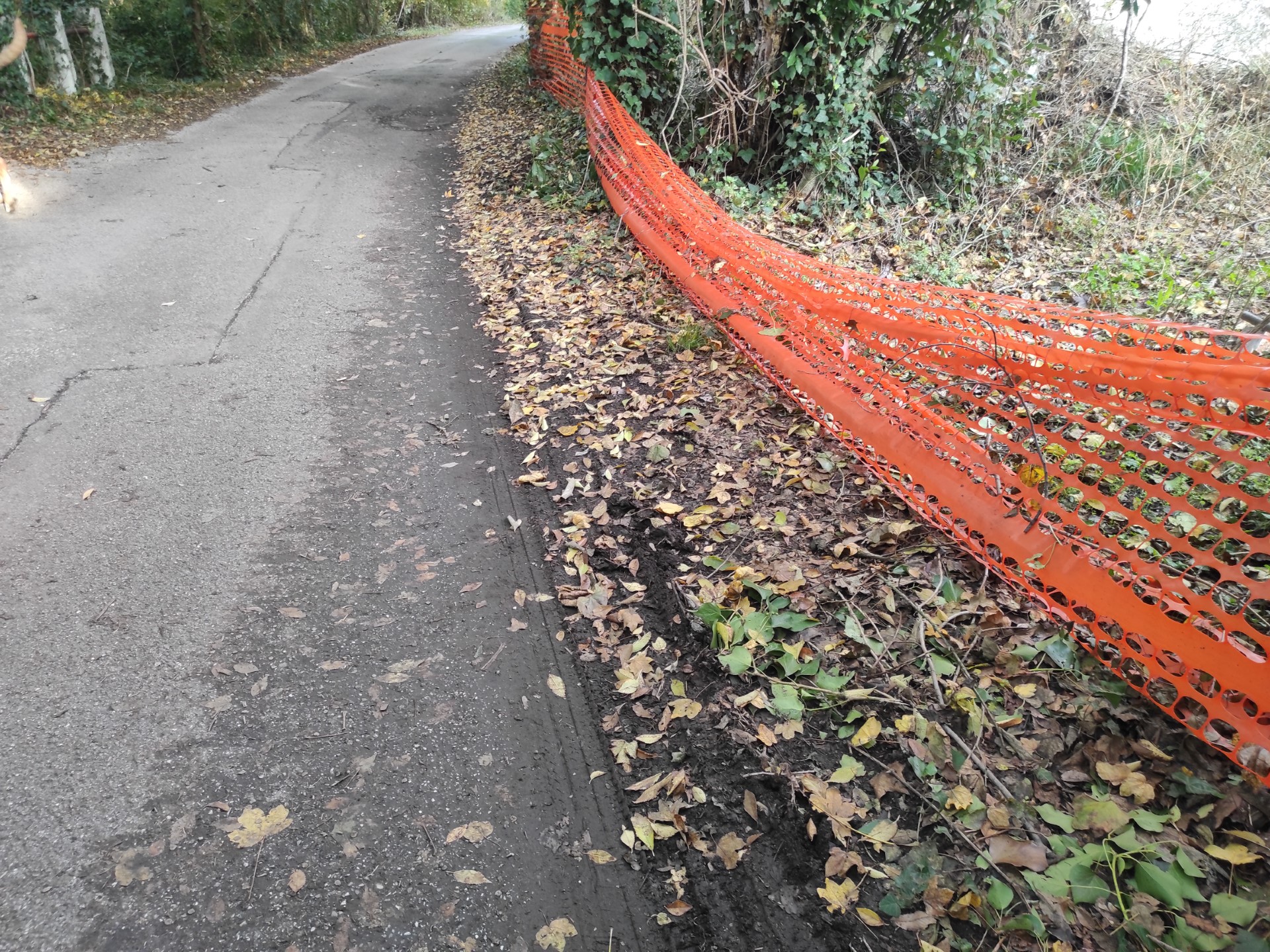
Photo 11
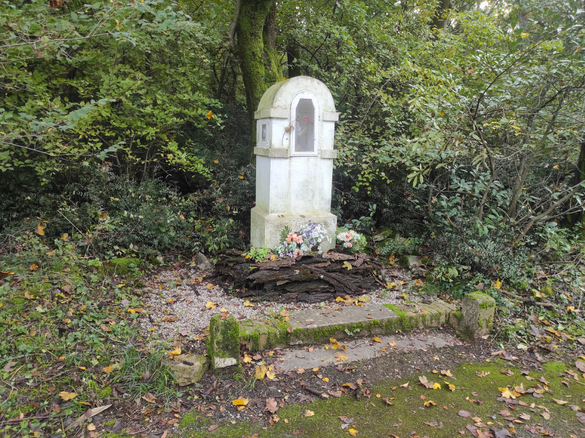
Photo 12
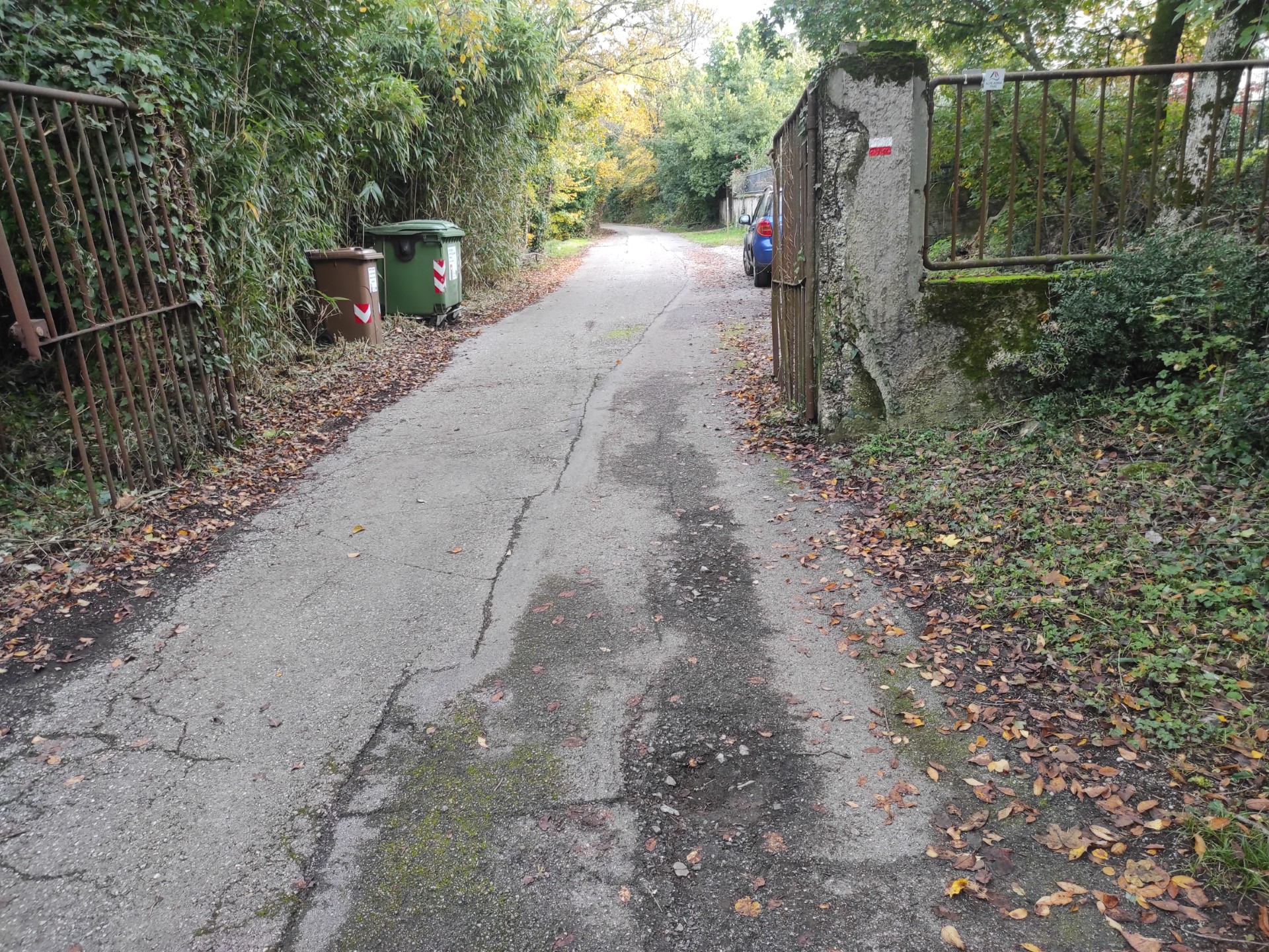
Photo 13
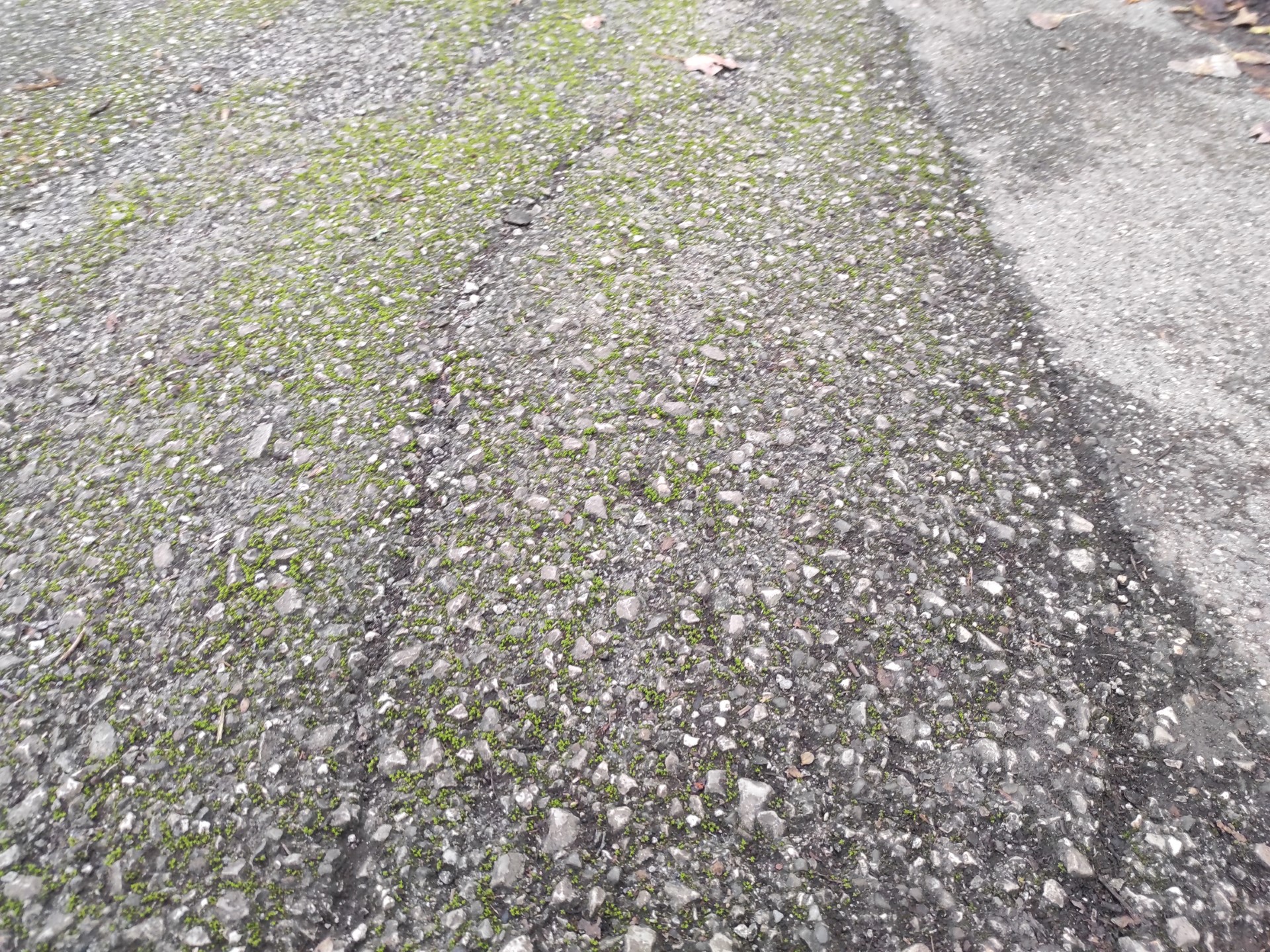
Photo 14
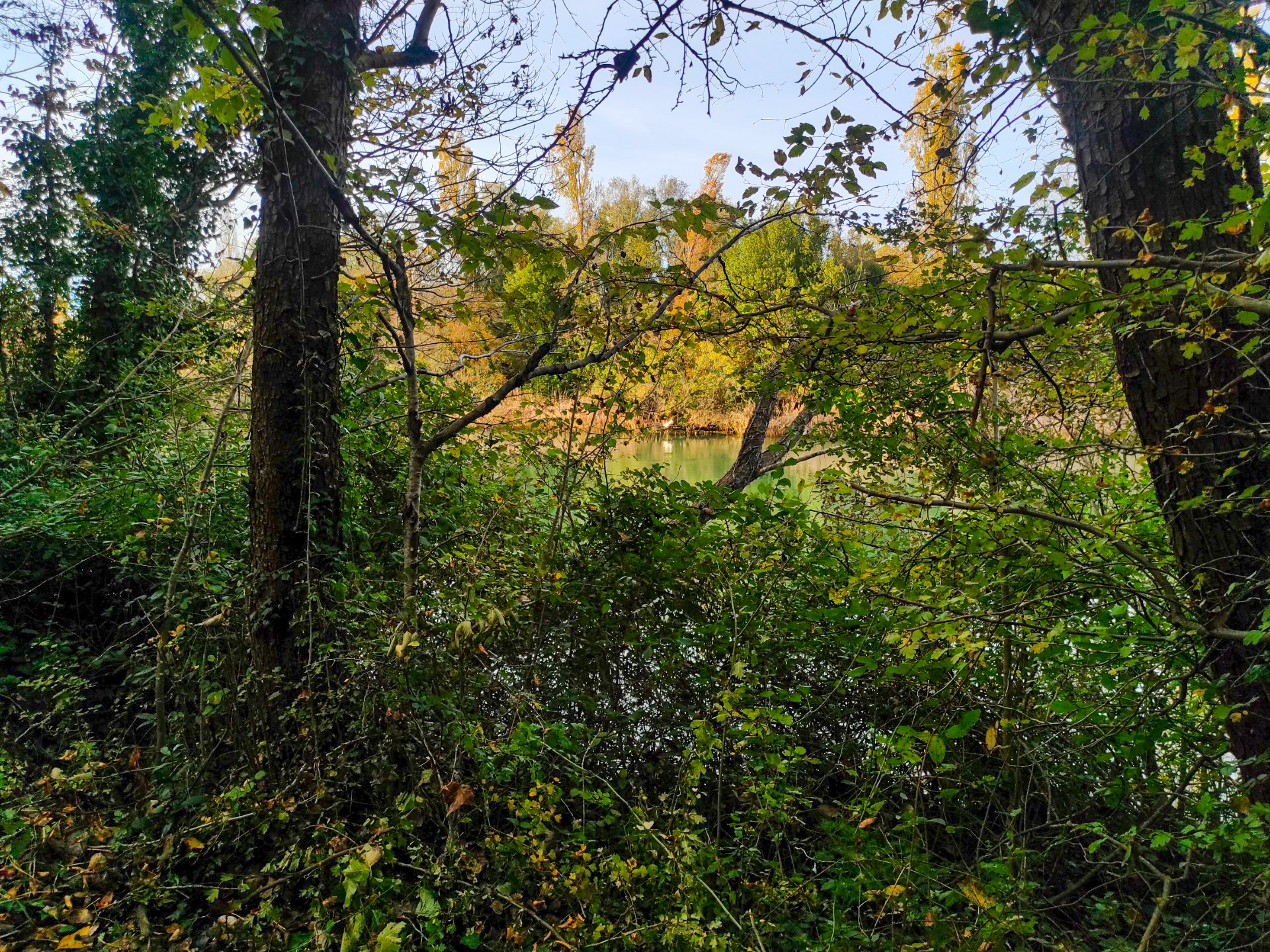
Photo 15
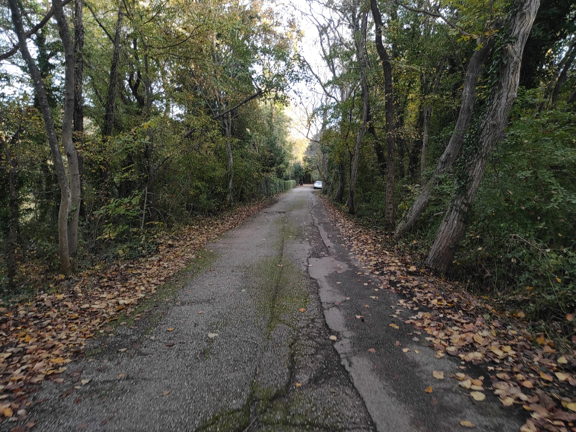
Photo 16
At 940 meters from the start, the paved path ends and a dirt road begins, slightly uphill with gravel, including large-sized stones, mixed with dirt (Photo 17) and also characterized by some depressions and holes.
After about fifteen meters, continue straight at the fork (Photo 18) and follow the Timavo for about 150 meters of dirt road (Photo 20). Here, the vegetation thins out, leaving more space for the splendid views of vineyards on the right (Photo 21) and the karst river on the left (Photo 22, 23). At the time of the survey, there was a depression with mud in this stretch of road (Photo 24, 25).
After about twenty meters, the road gradually widens at the mouth of branch III of the Timavo, whose bank is made with a large concrete curb, lacking a railing, which can be used, with caution, also as a seat (Photo 26).
At km 1.14, there is an explanatory sign on the left (Photo 27) regarding the route, identified in this sign as "S1", a section "Sb" and then resumes as "S1" until the Church of San Giovanni in Tuba; the sign contains a map with highlighted routes in yellow and red on a satellite aerial view, difficult to read, and textual and photographic content regarding the hydraulic complex of the Timavo placed between 100 and 173 cm from the ground. The sign is located 3 meters from the dirt road on grassy and muddy ground at a lower elevation than the road.
From the sign, keep to the left and then to the right following the white and red indication of the CAI Path (Photo 28), along a dirt path with a slope of 4.4%.
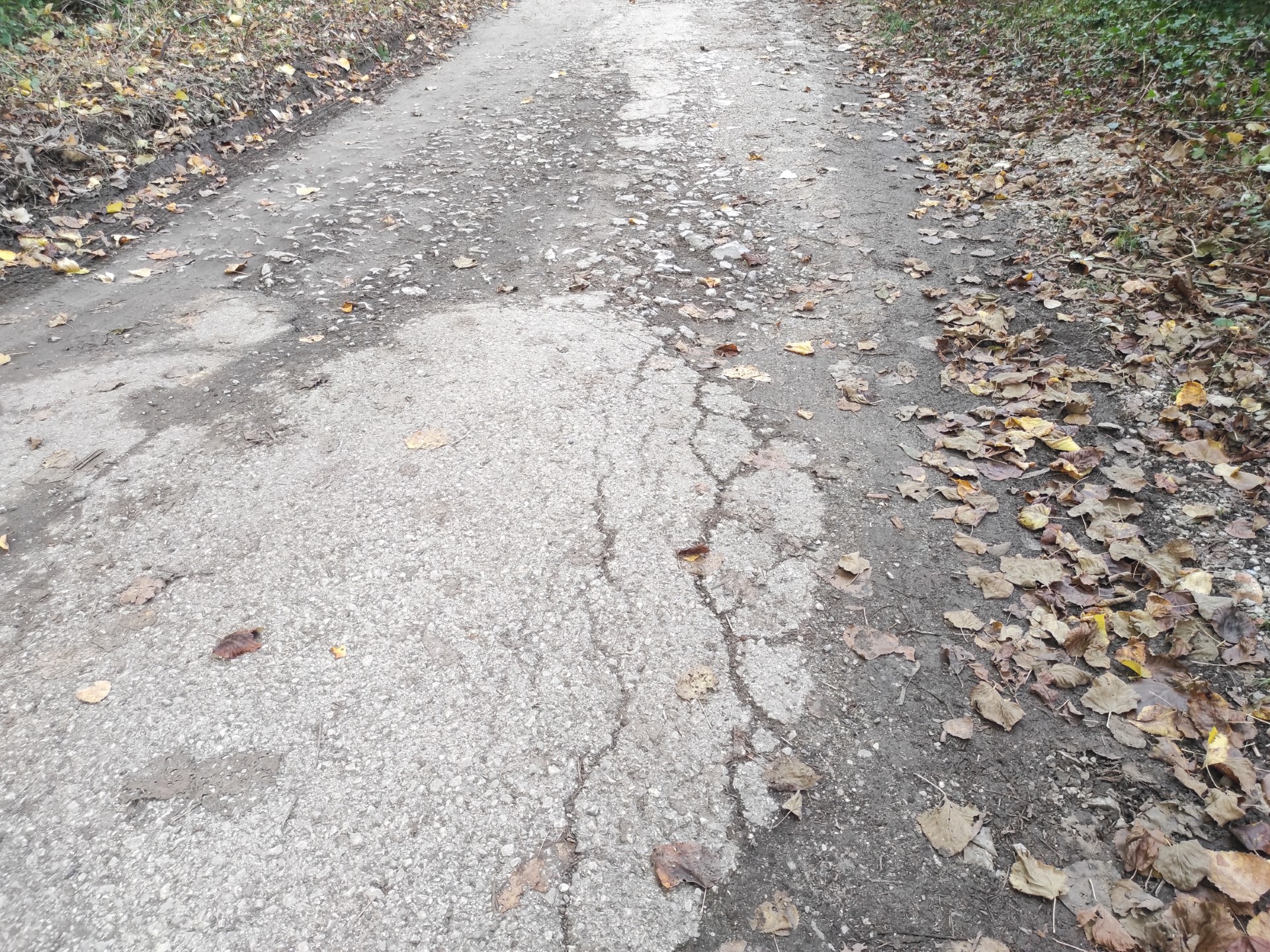
Photo 17
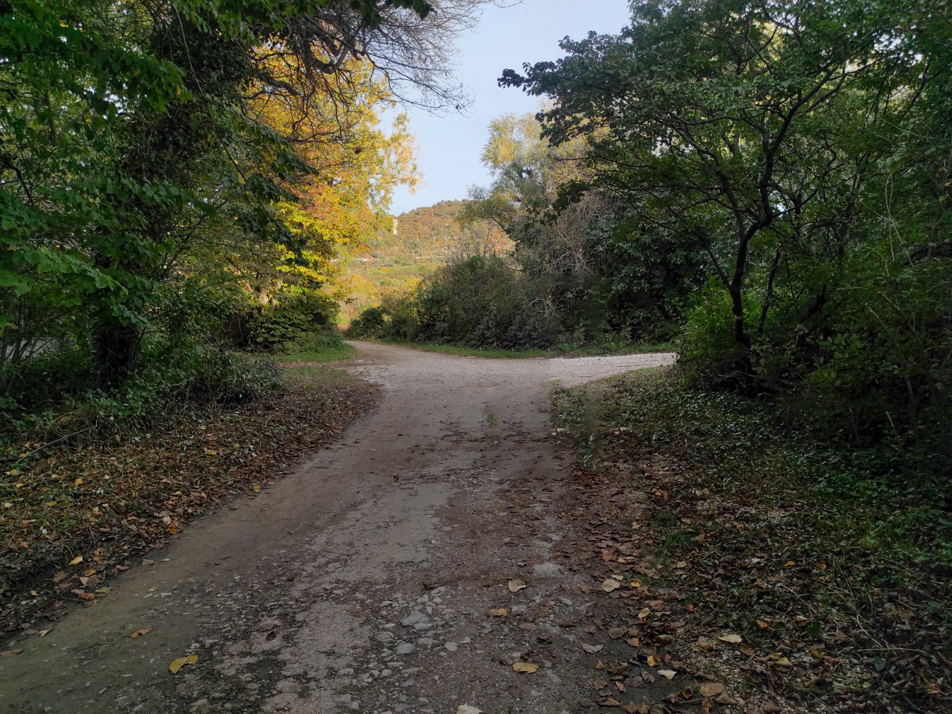
Photo 18
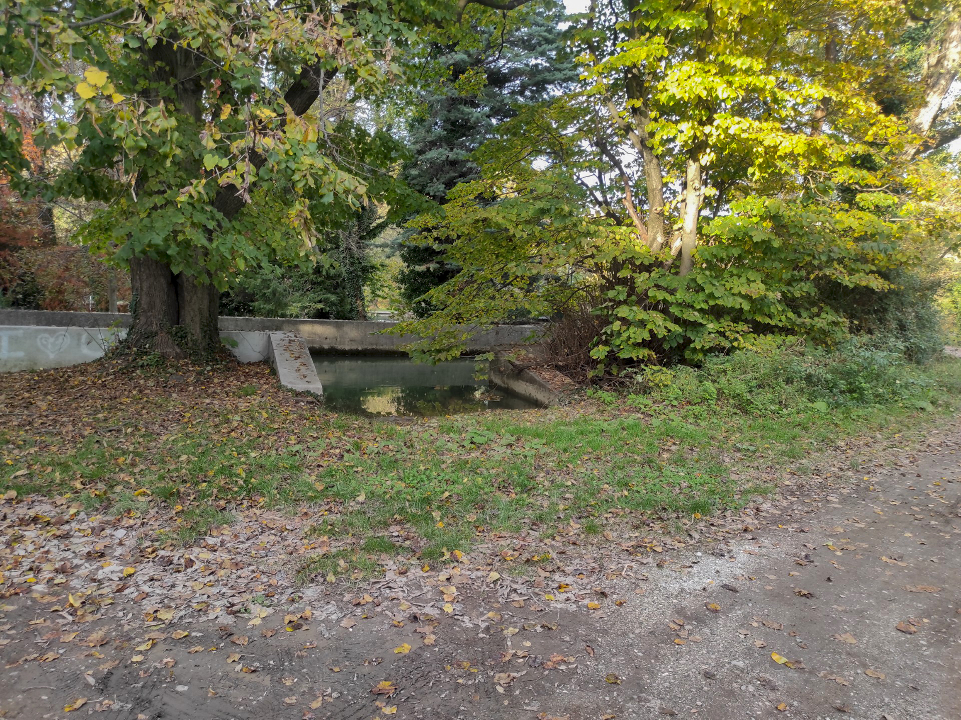
Photo 19
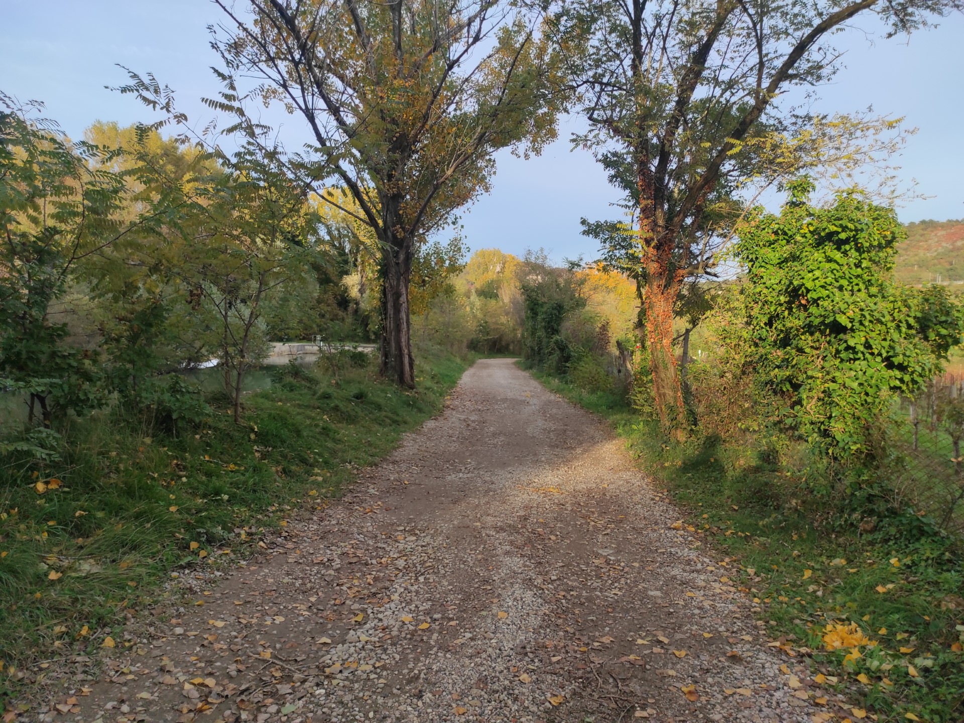
Photo 20
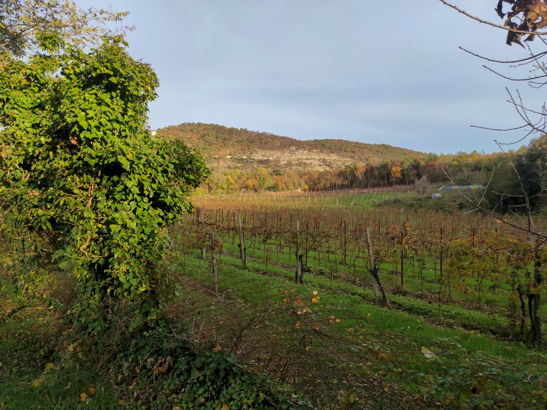
Photo 21
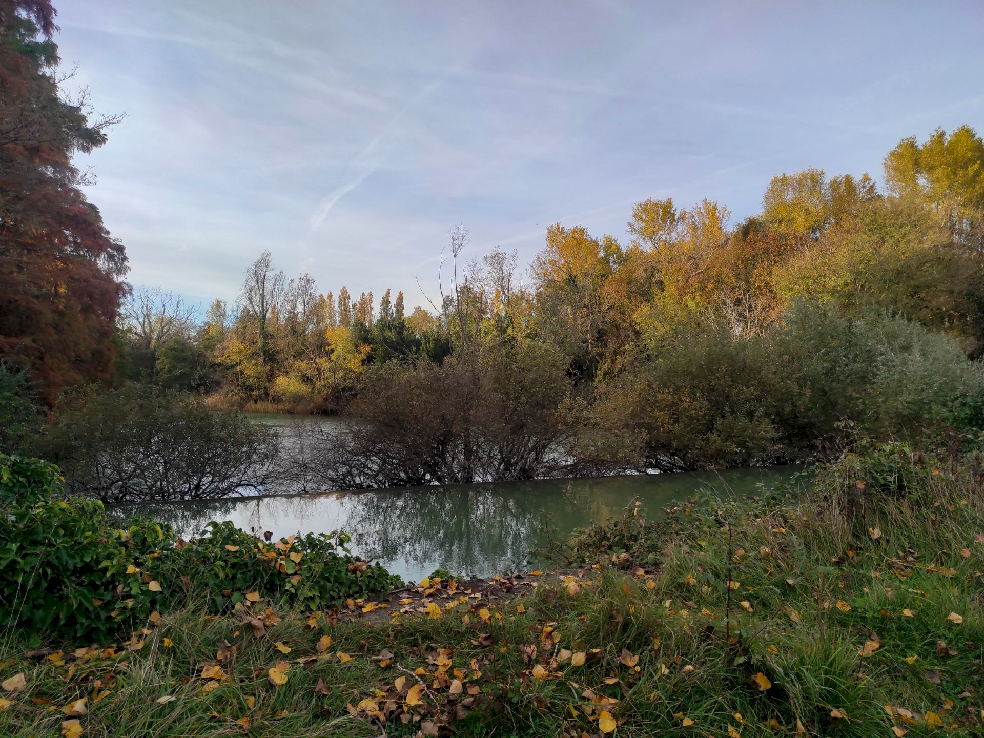
Photo 22
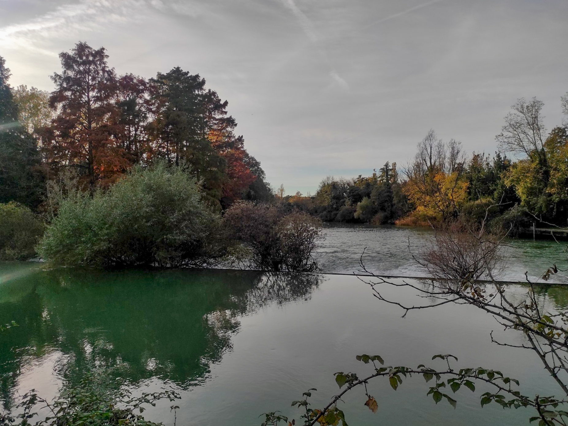
Photo 23
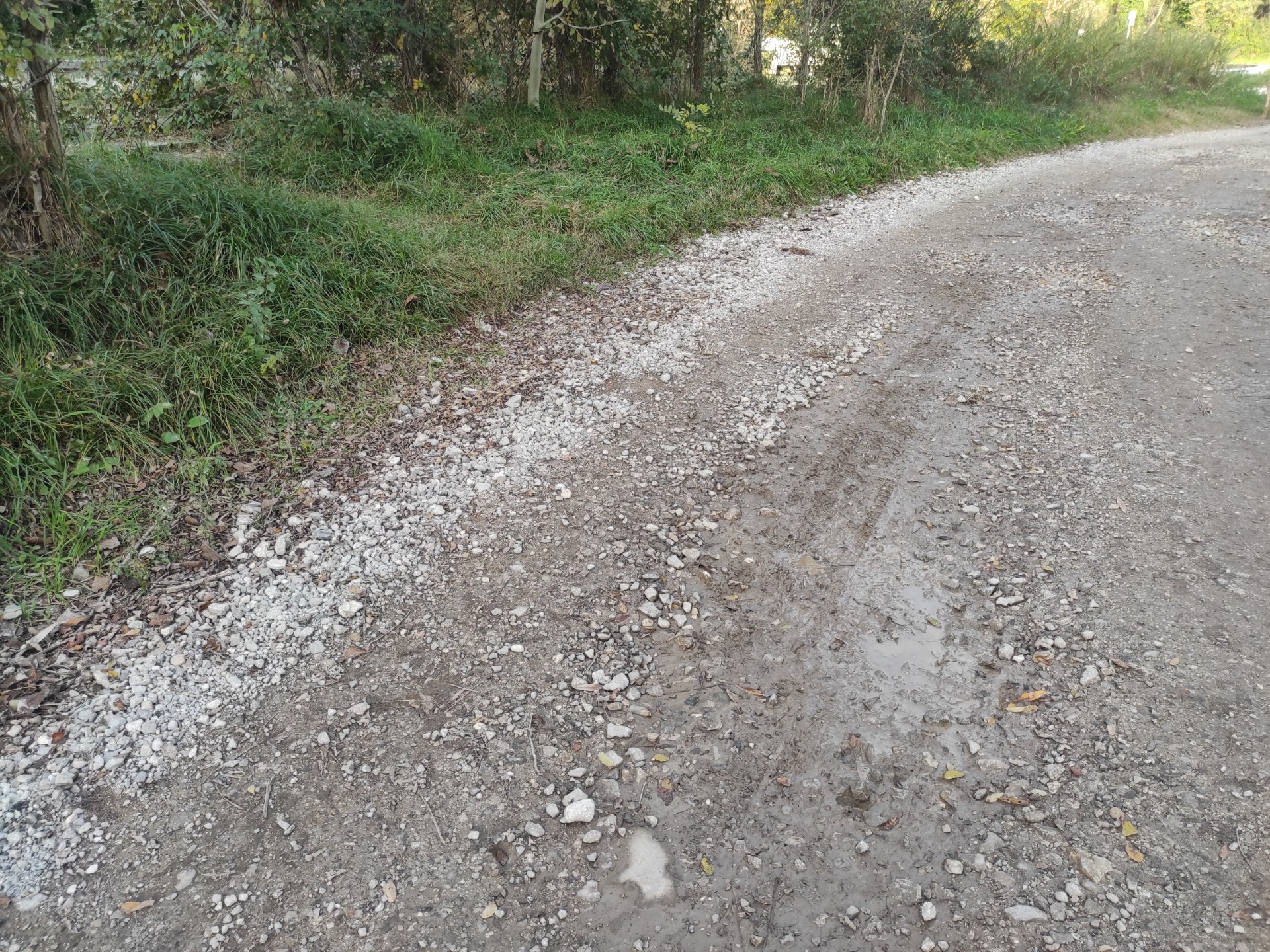
Photo 24
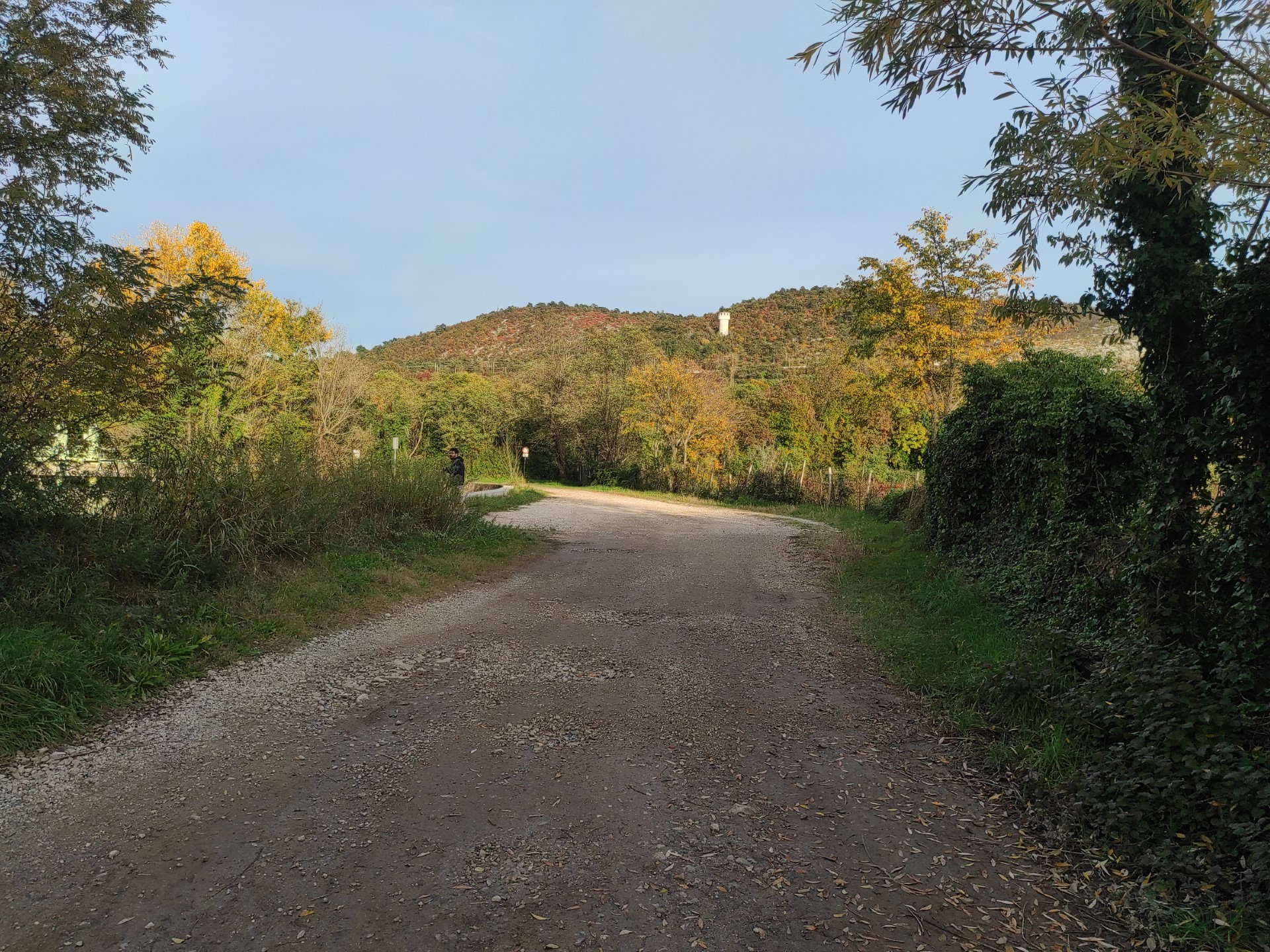
Photo 25
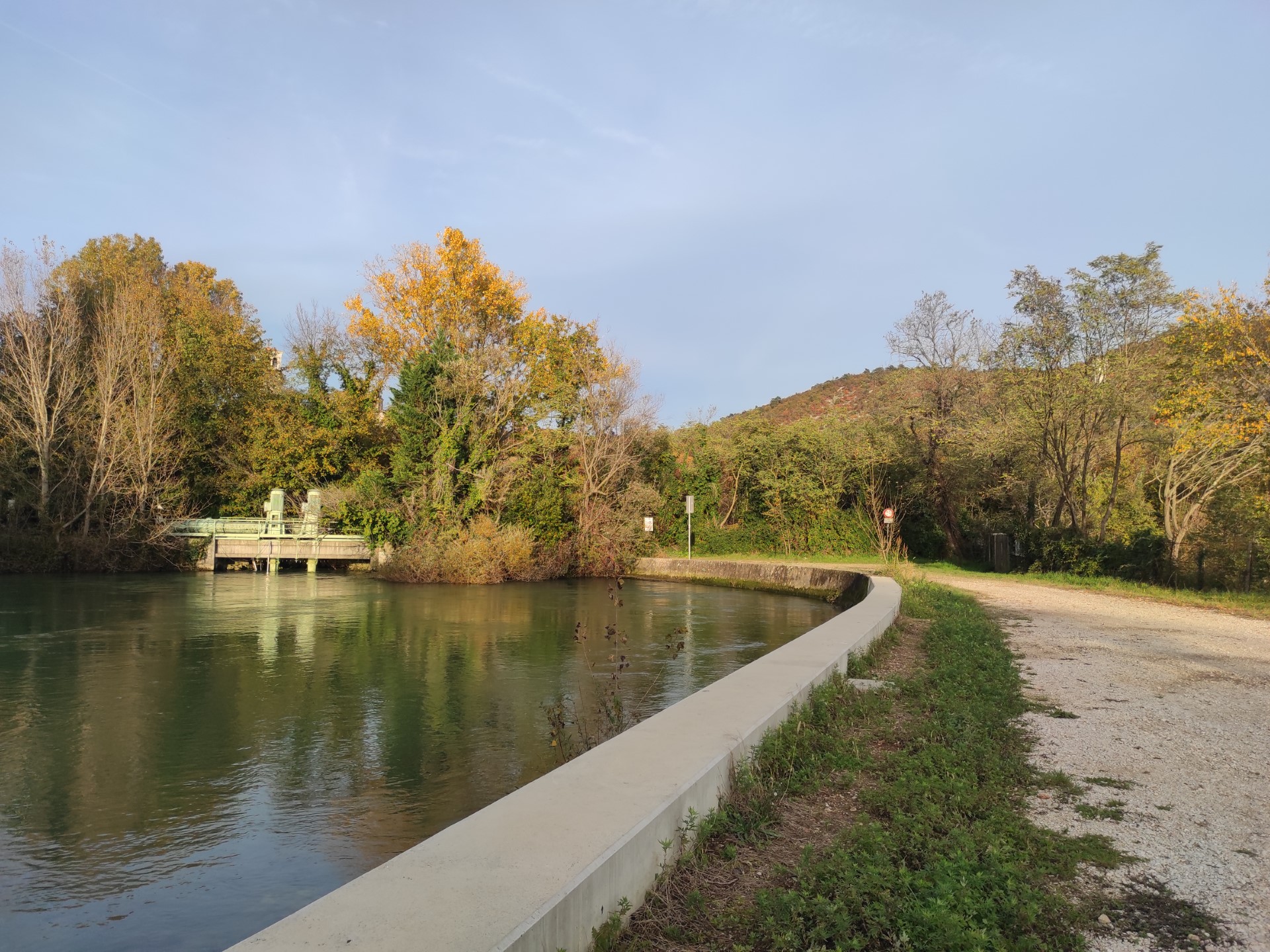
Photo 26
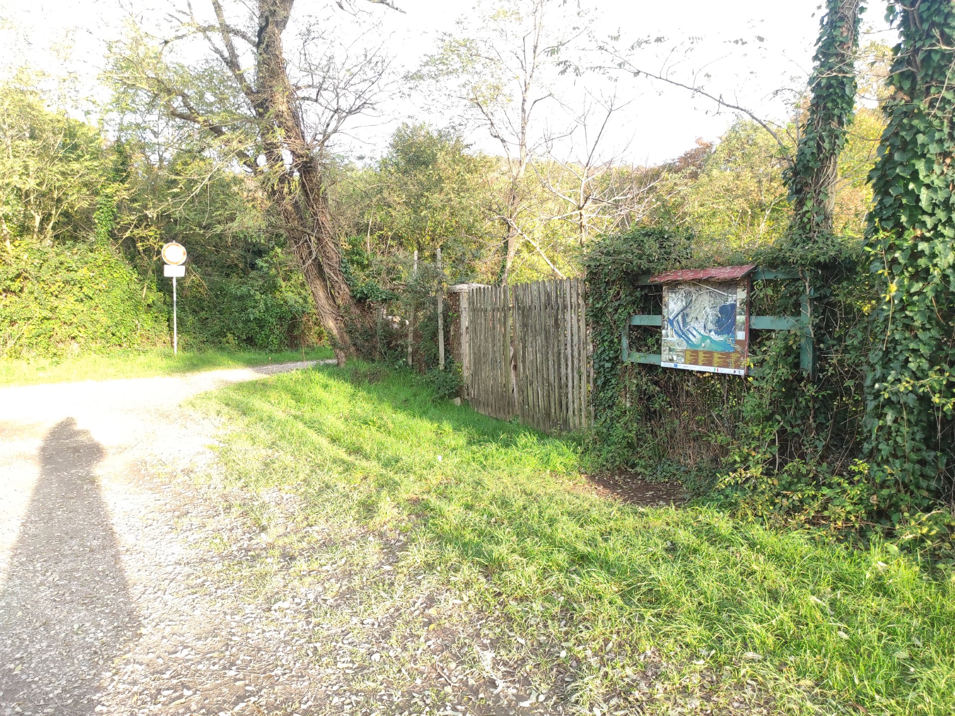
Photo 27
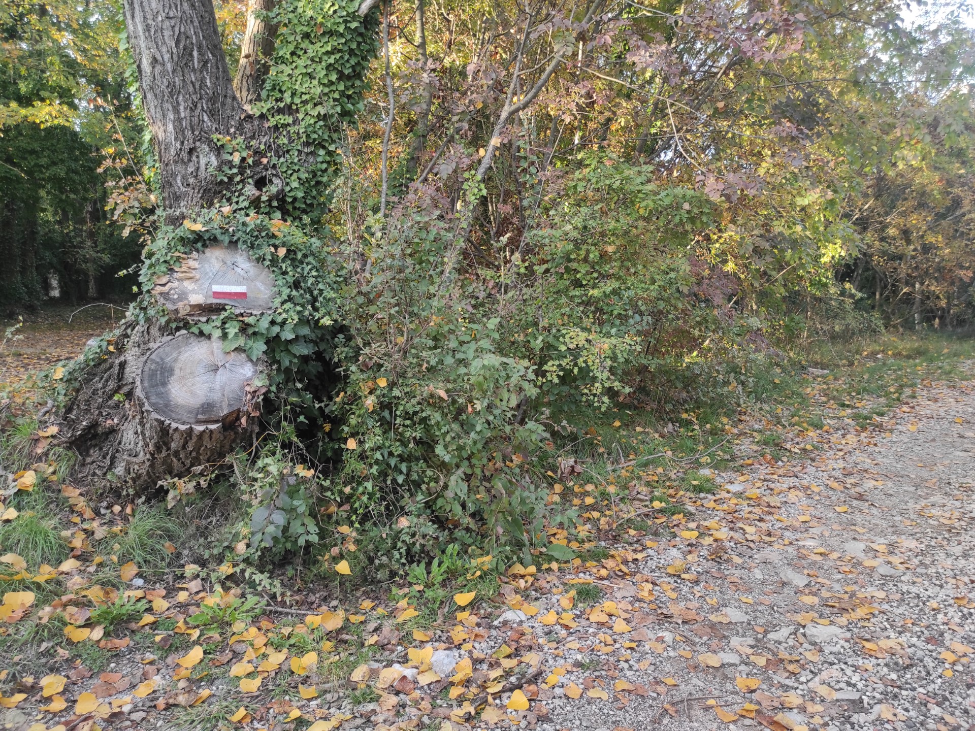
Photo 28
From this point onwards, the path becomes more challenging: starting with a slope of 4.4% (Photo 29) and a width of about 250 cm, it gradually becomes more rugged with a passage of about 30 meters over transverse stone slabs, heavily uneven and with a high longitudinal slope (between 21.1% and 28%) and transverse (Photo 31,32,33).
Subsequently, the path resumes a mixed surface of gravel and earth uphill (slope 14%) for about 10 meters, before descending for about 15 meters (Photo 34).
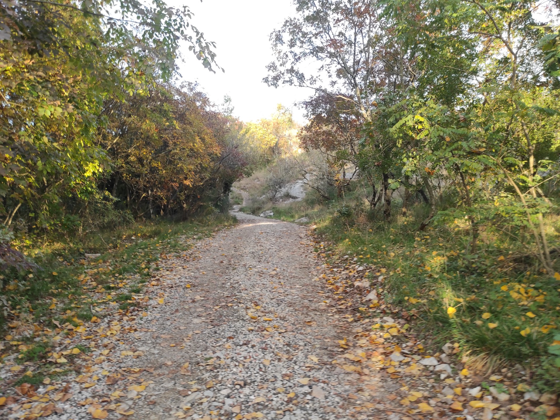
Photo 29
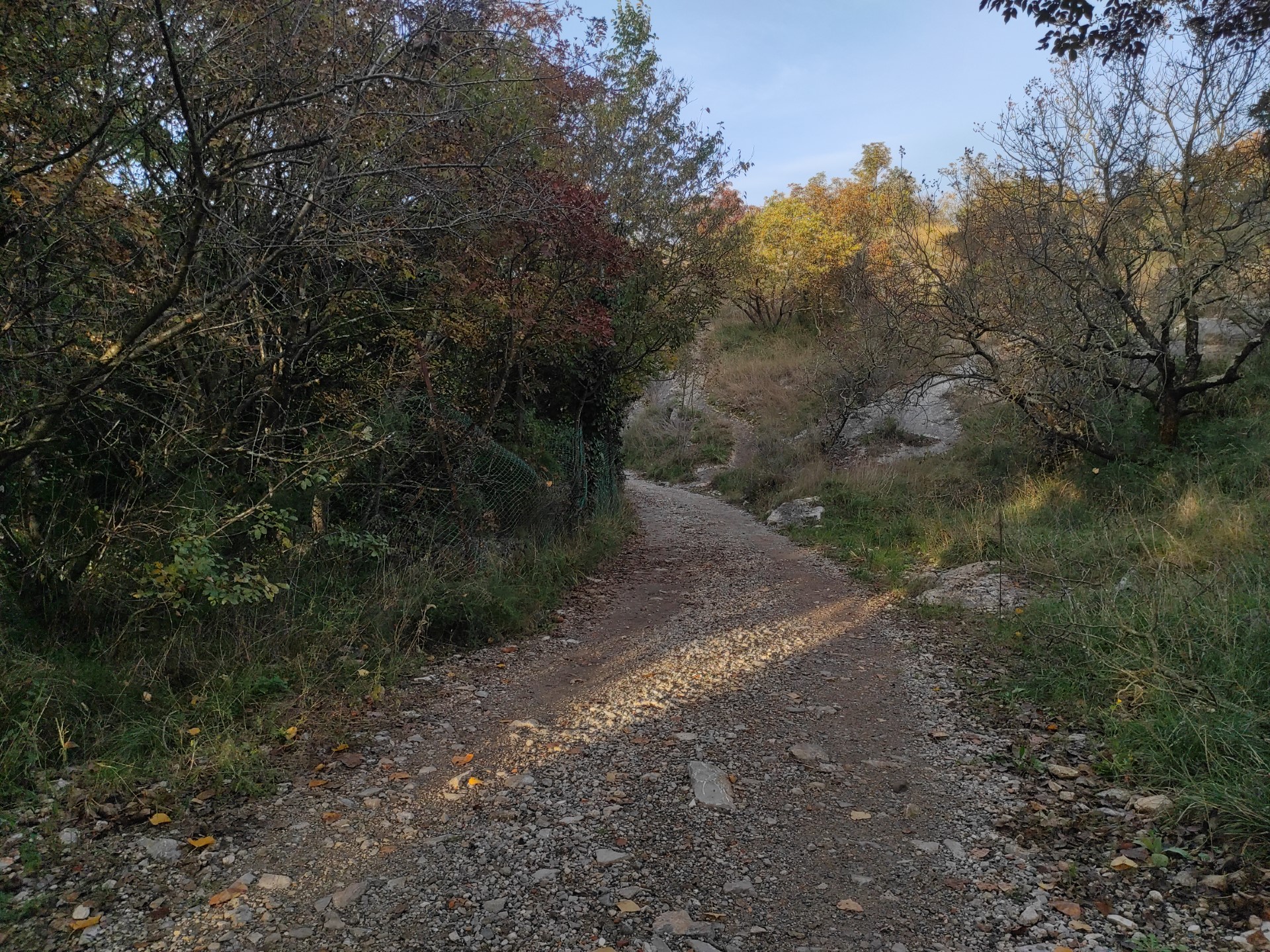
Photo 30
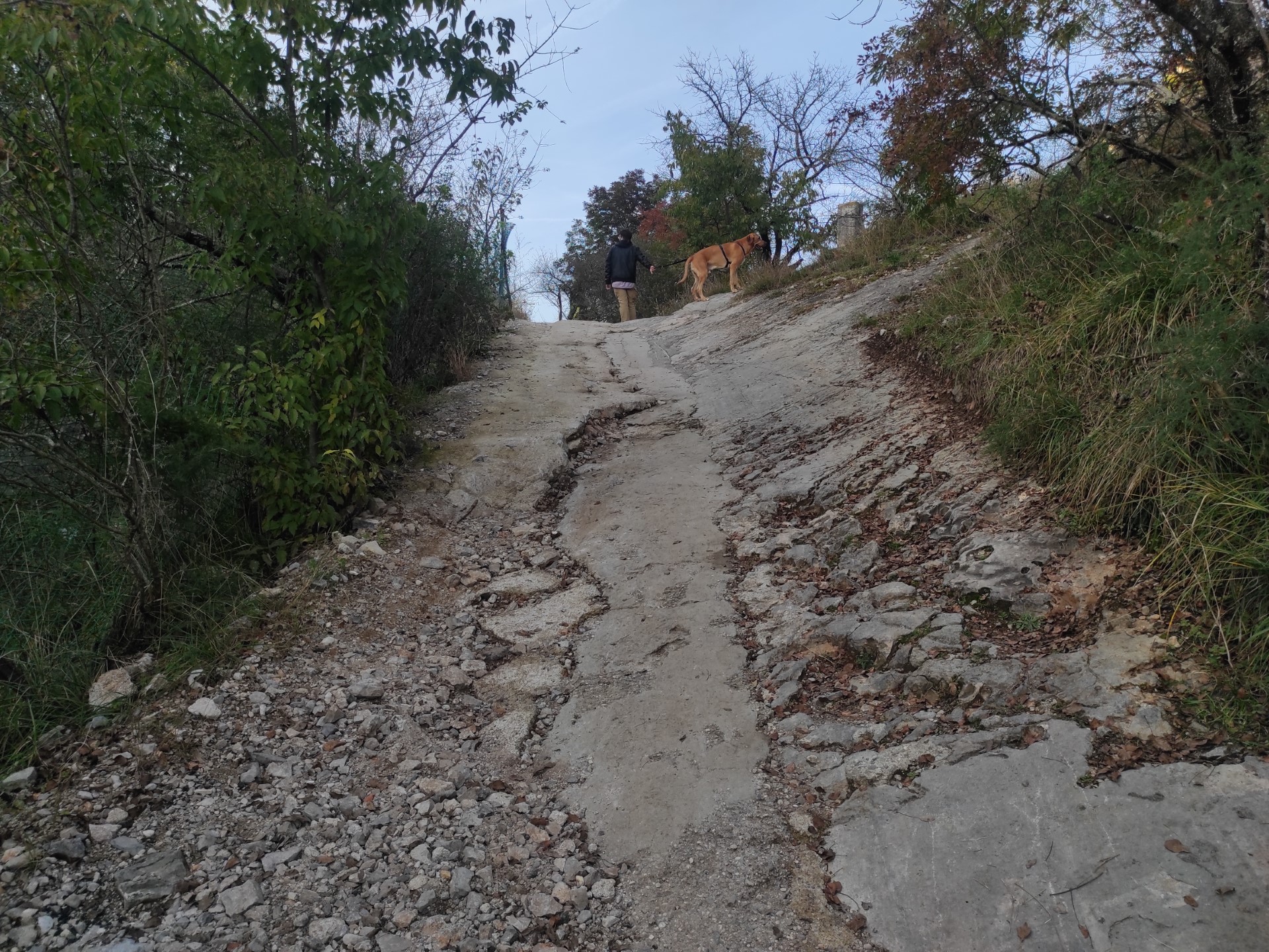
Photo 31
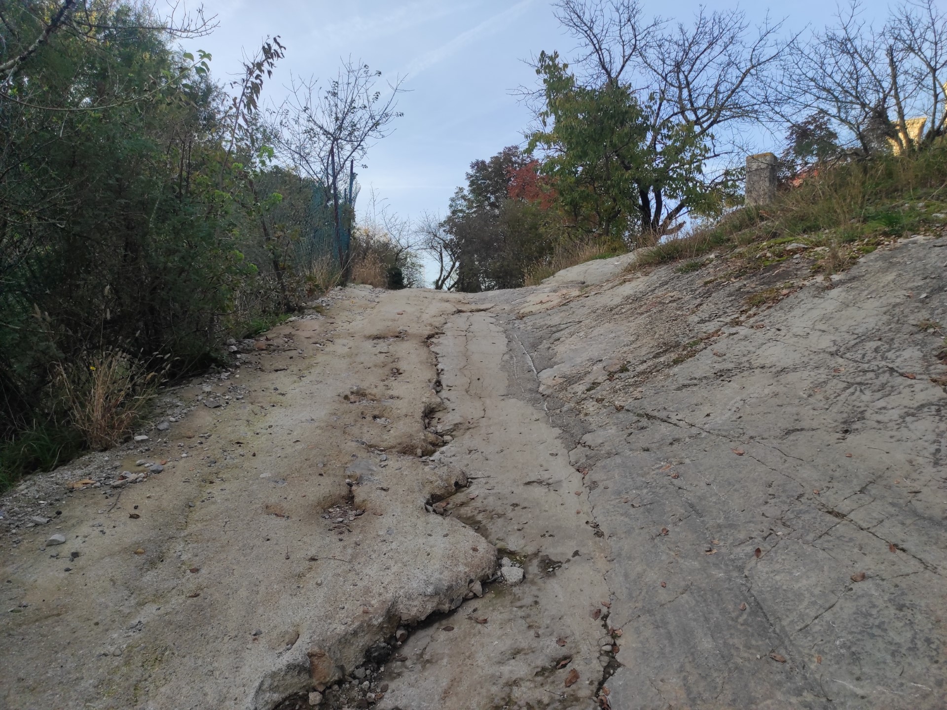
Photo 32
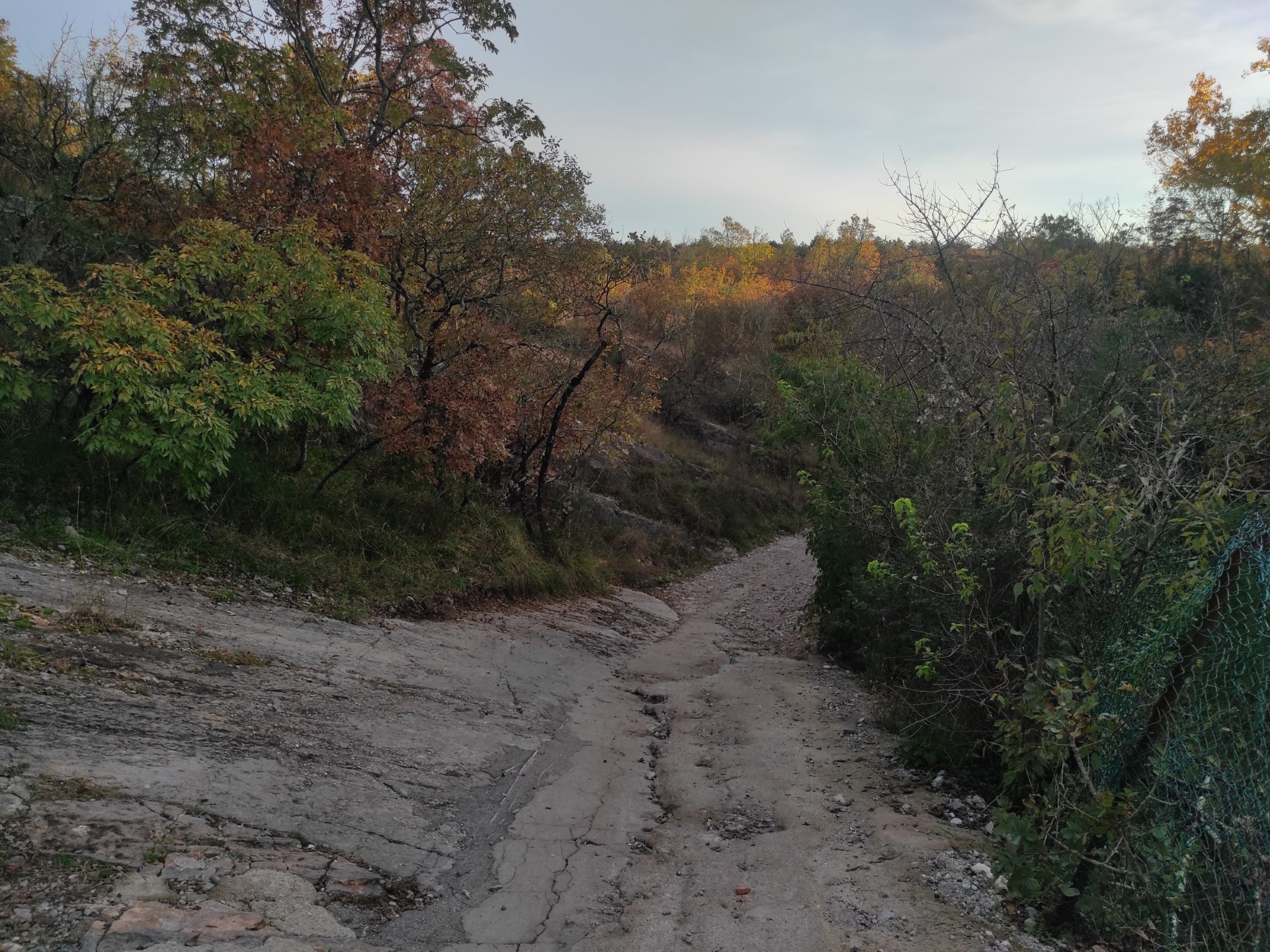
Photo 33
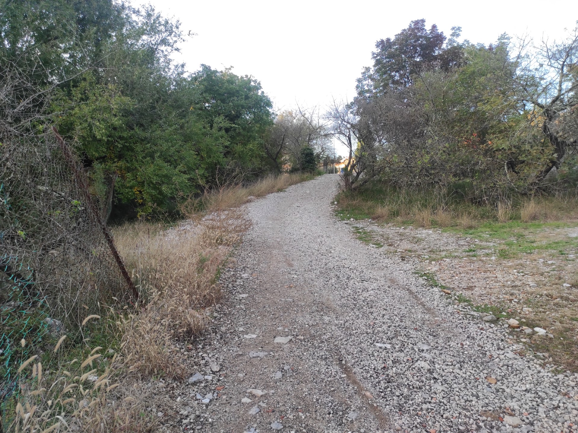
Photo 34
A stretch of asphalt path runs alongside the Strata Statale 14 for a few meters (Photo 35). The path descends for about 20 meters with a slope of 17% until reaching a flat area with an information sign (Photo 36).
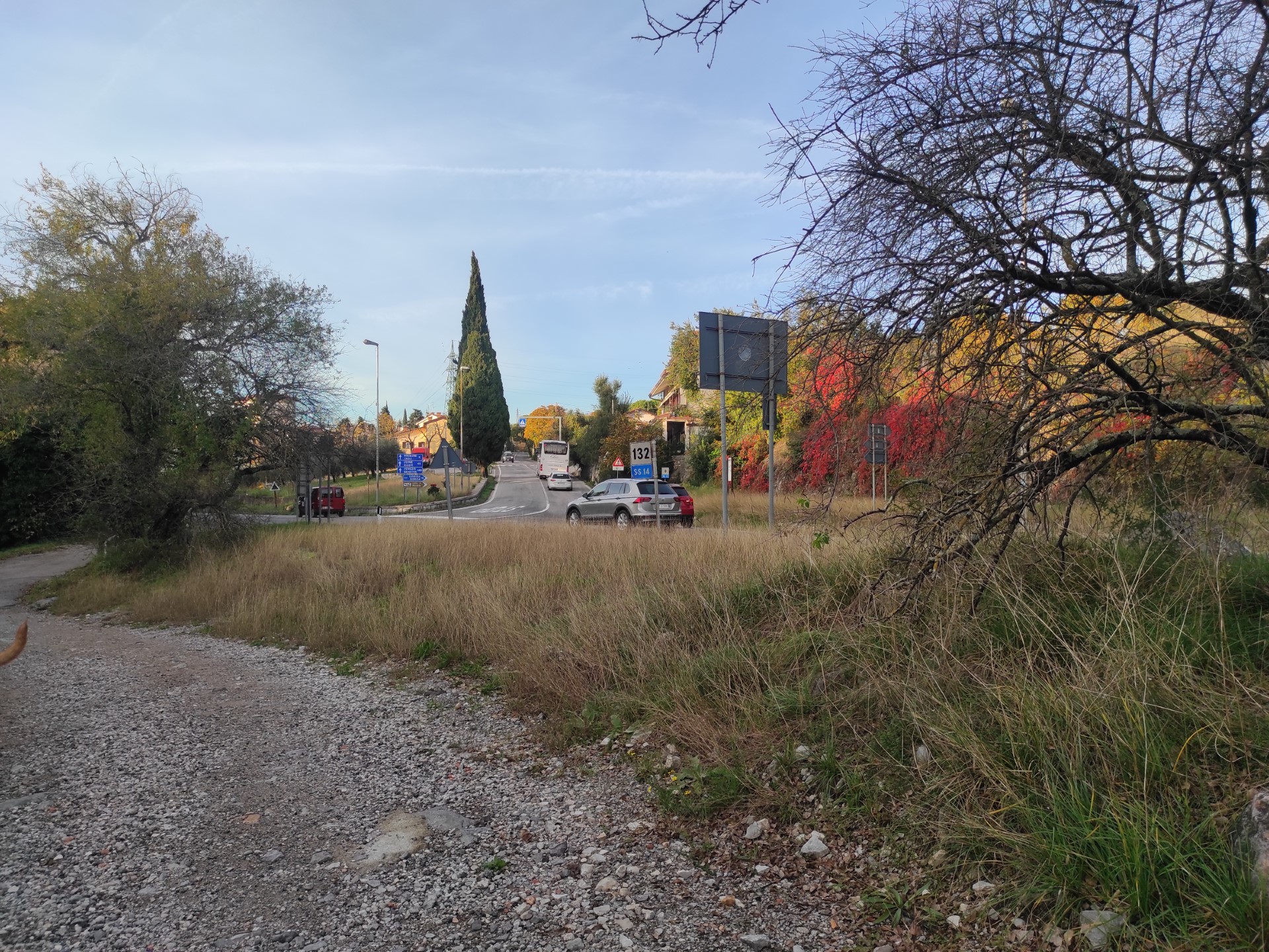
Photo 35
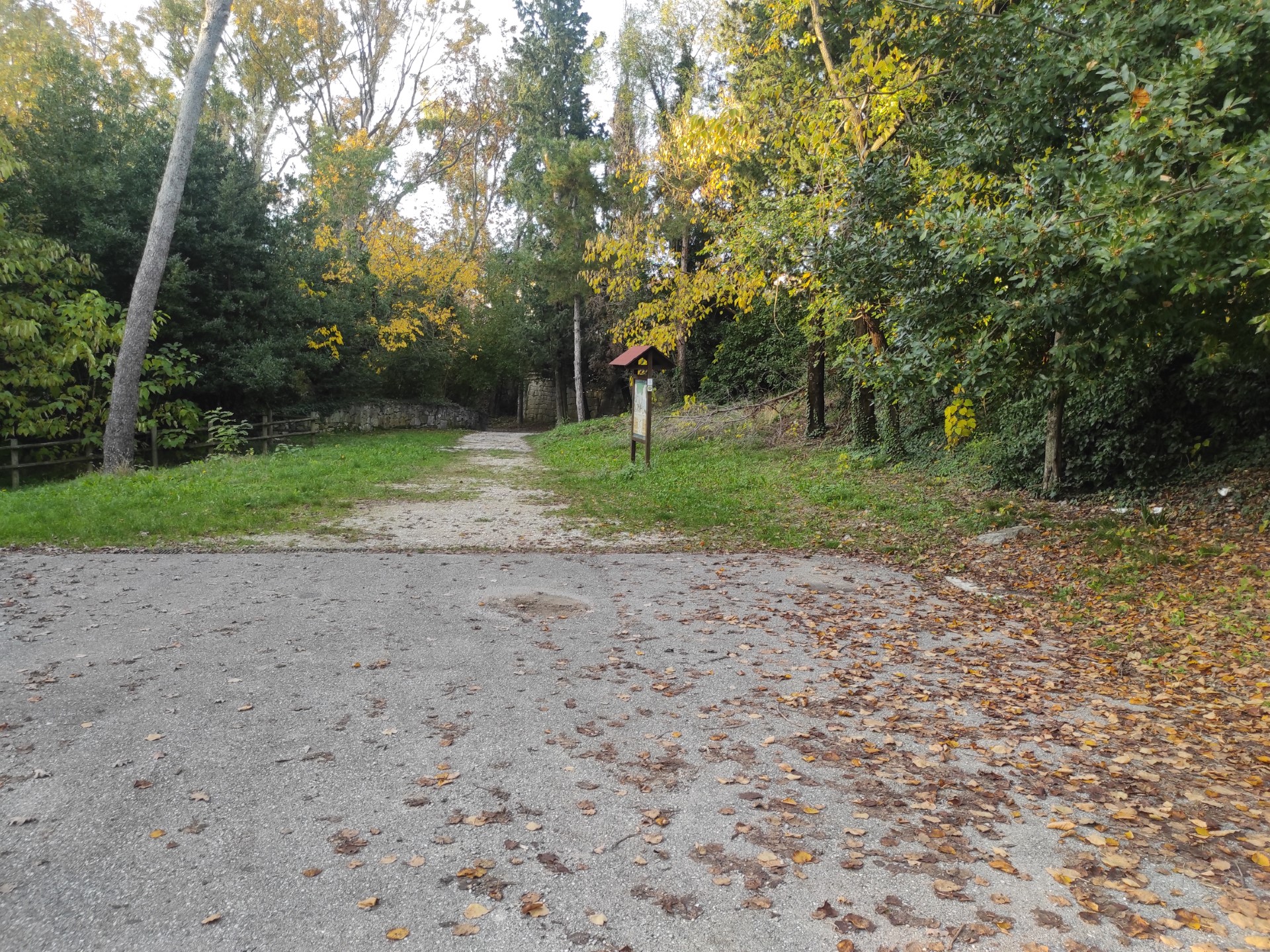
Photo 36
After about ten meters from the end of the paved section, an information sign (Photo 38) provides information on the natural aspects of the area with indications on the flora and fauna through colorful images and small caption text; the panel è is placed on grassy ground 2 meters from the path, at a height between 72 cm and 180 cm and is poorly readable at the time of the survey due to the reflection of light on the panel material.
Here the path descends in elevation over approximately 40 meters; along the road there are 4 water collection channels made of stone and concrete, placed transversely to the path (Photo 37, difficult to cross with a wheelchair). The path curves downward with a slope of 15.8% (Photo 39, 40).
Once the curve is passed, one arrives at the flat area of the church of San Giovanni in Tuba, which can be glimpsed from the path (Photo 42).
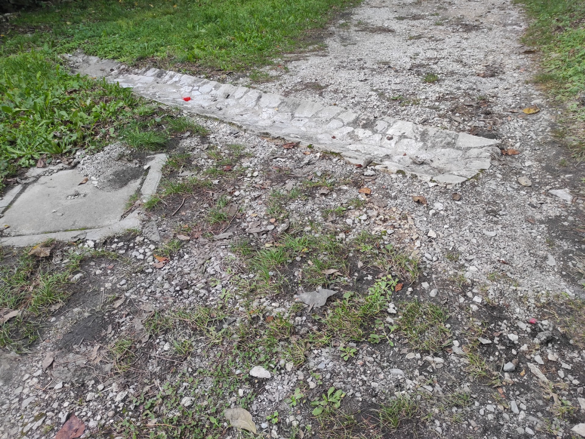
Photo 37
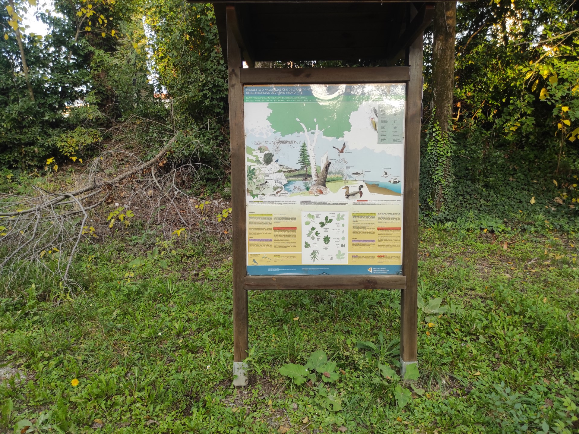
Photo 38
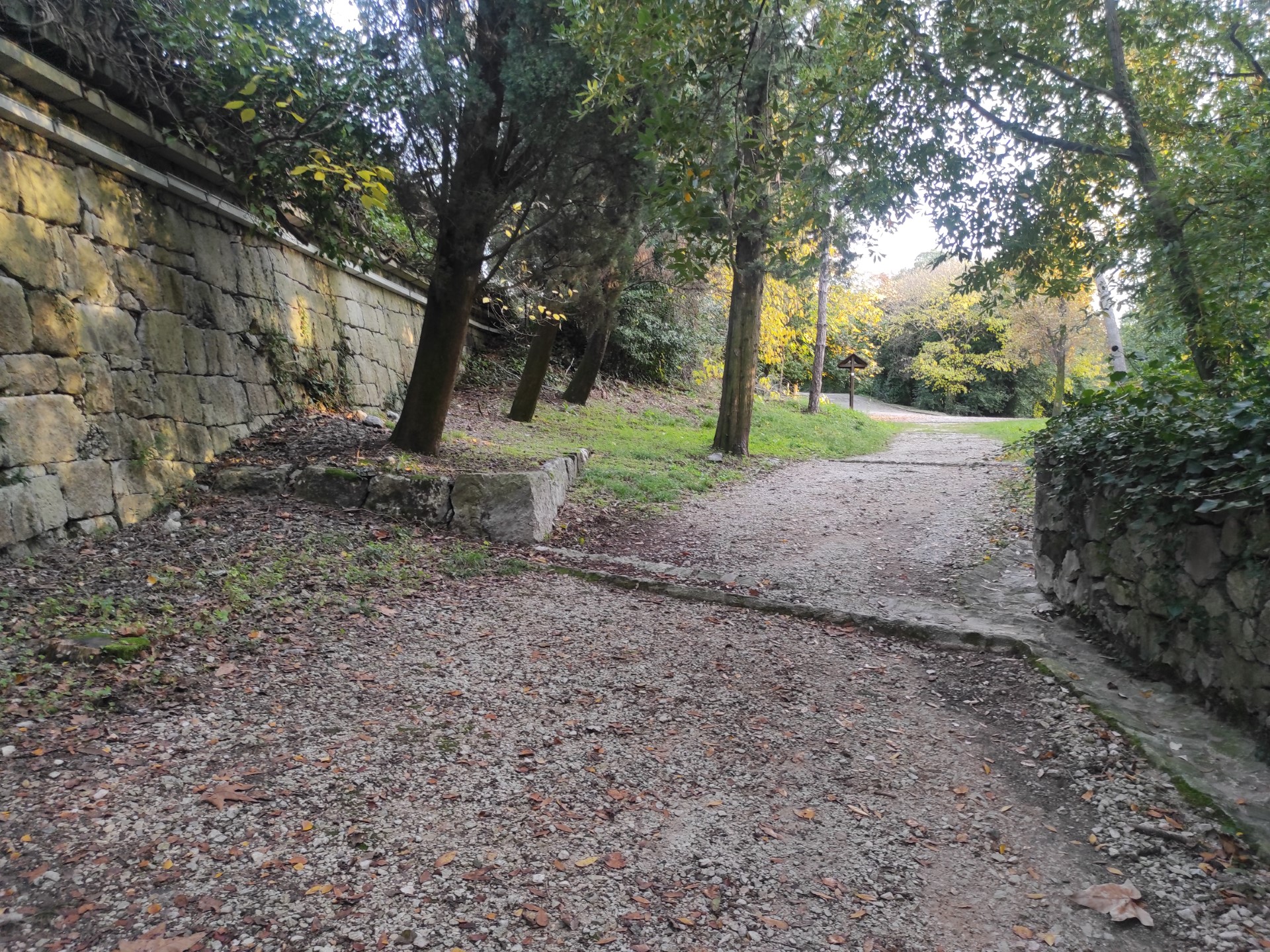
Photo 39
Photo 40
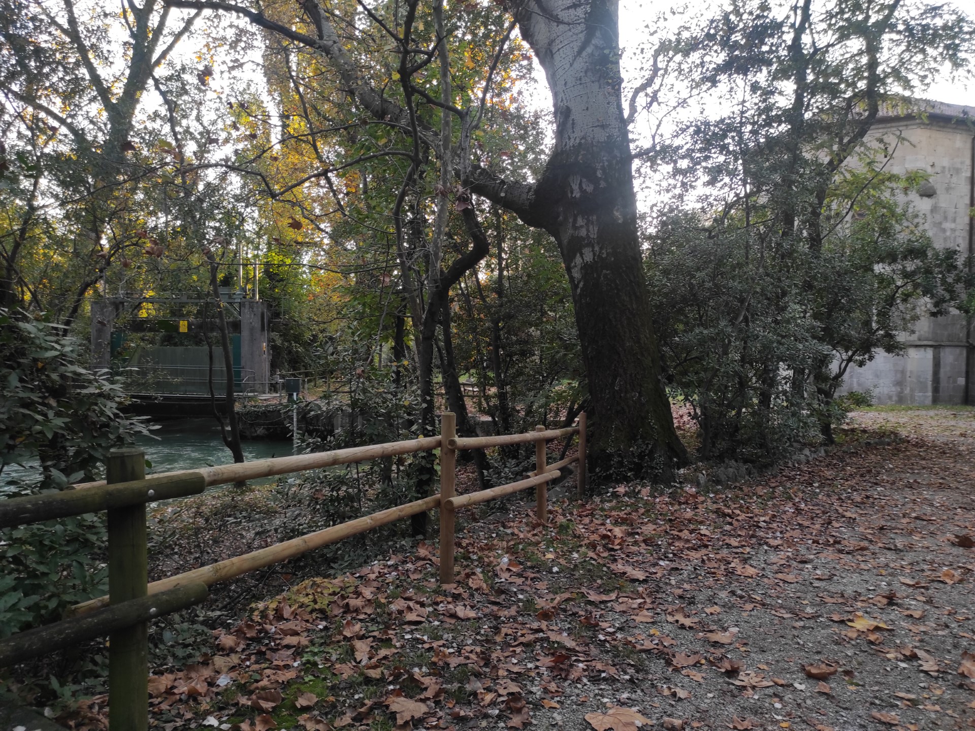
Photo 41
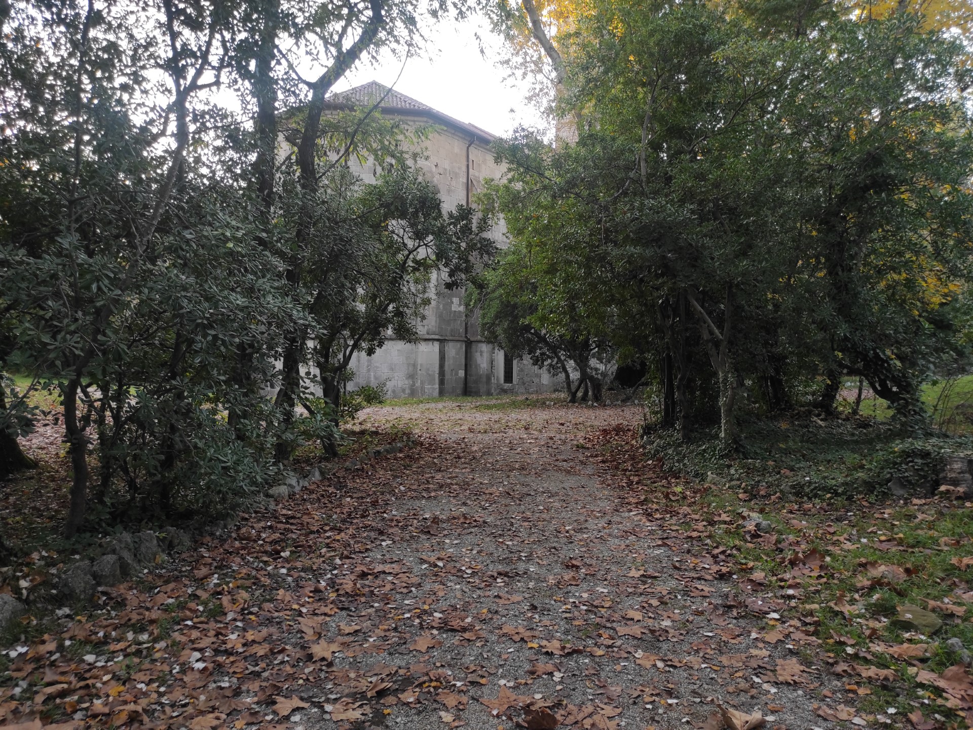
Photo 42
The descent to the springs is effectively inaccessible for wheelchair users, who can still enjoy the view from a higher vantage point. To reach the bank, there are 4 stone steps (Photo 43, 45), with a variable rise (average height = 16 cm) and a tread of about 80 cm. The grassy and earthy bank, rich in protruding roots, slopes down towards the swirling waters of the Timavo and is unprotected (Photo 44, 46).
Not far away, there is a fixed bench with a wooden seat and backrest. The seat is 40 cm deep and 40 cm off the ground (Photo 47).
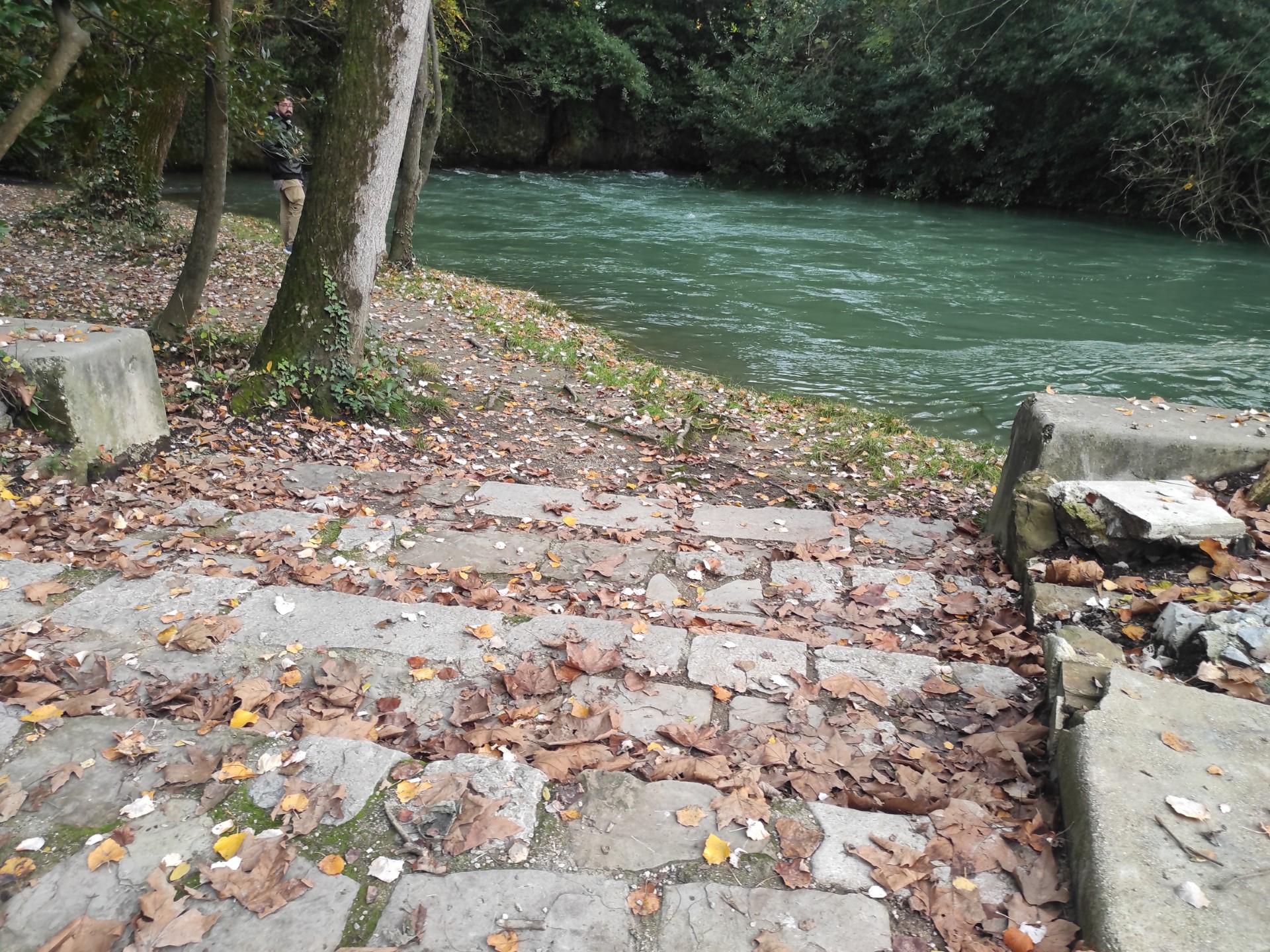
Photo 43
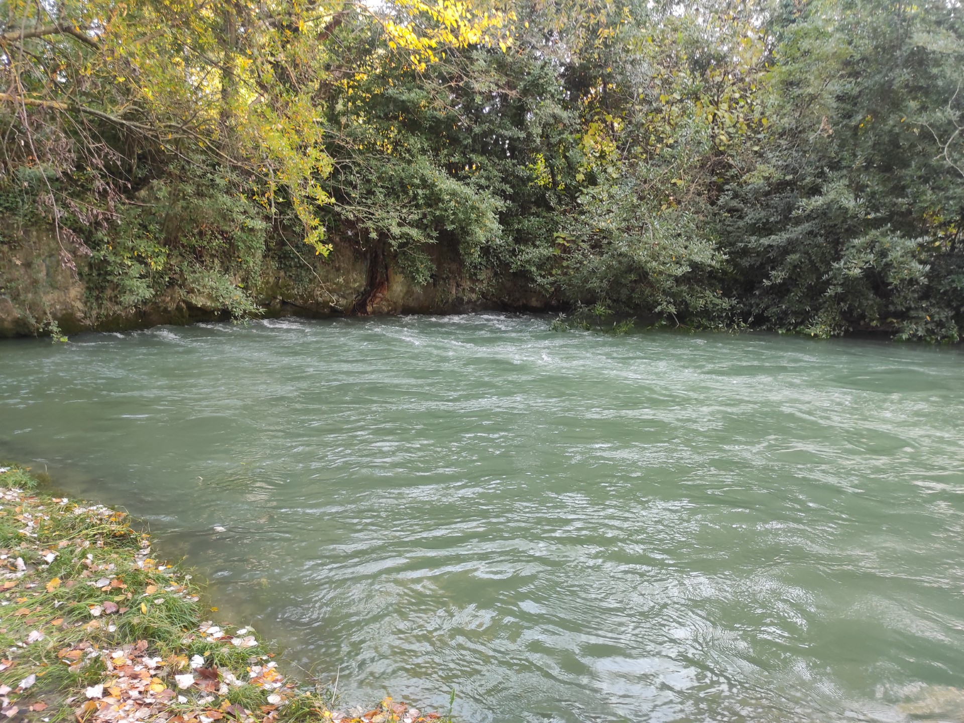
Photo 44
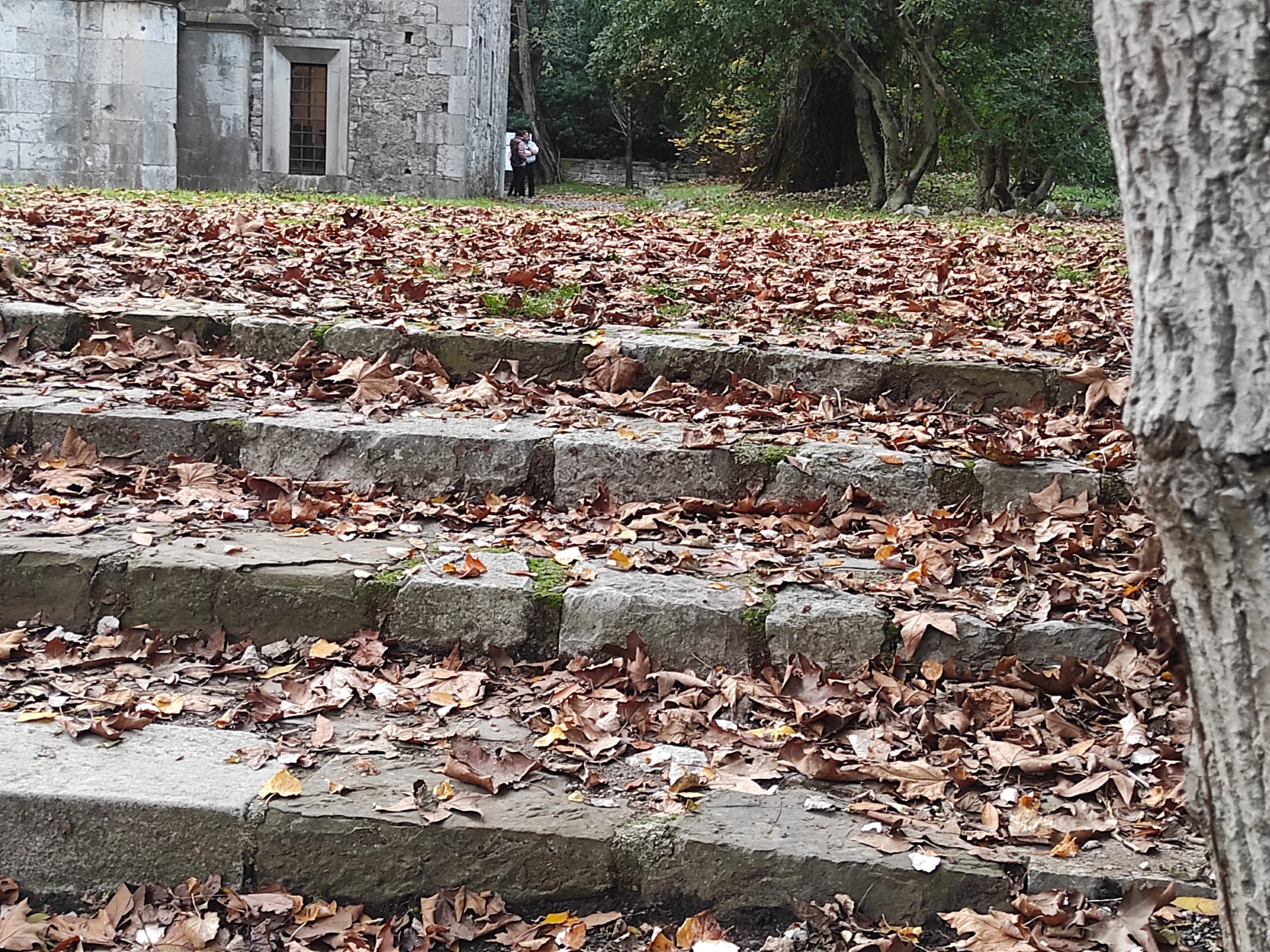
Photo 45
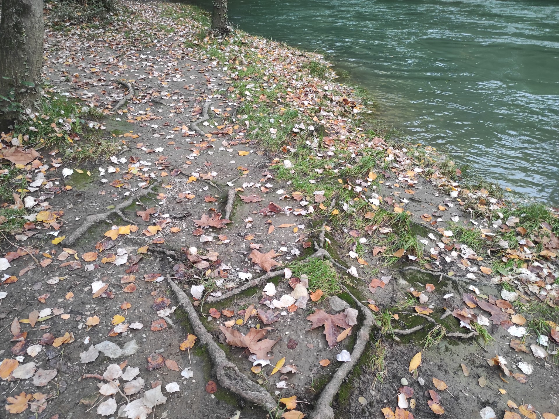
Photo 46
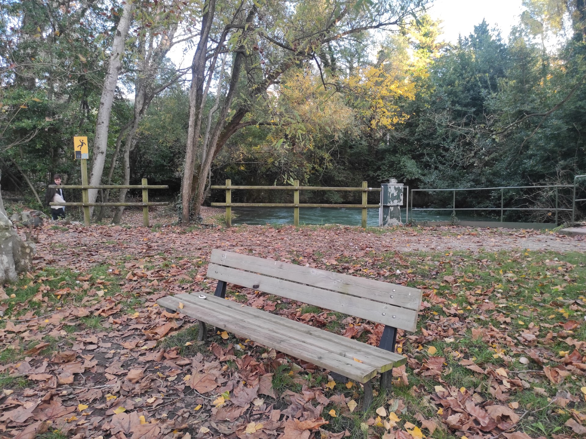
Photo 47
From the bench, you can observe the splendid late-Gothic apse of the Church of San Giovanni in Tuba. A gravel path surrounds it (Photo 48) and leads to the entrance.
An explanatory sign (Photo 49) is placed about two meters from the raised paved area at the entrance, which is accessed by a step; the approach for a person in a wheelchair is blocked by an additional step of about 16 cm. Diagrams and drawings explain the stratigraphy of the building and are accompanied by texts translated into three languages (Italian, Slovenian, and English).
The height difference between the path leading to the parking lot and the church's forecourt is connected by two steps spaced apart with flush stone paving (Photo 50). Alternatively, the path that surrounds the church leads towards the springs of the Timavo, and from that point, the gravel path continues slightly uphill.
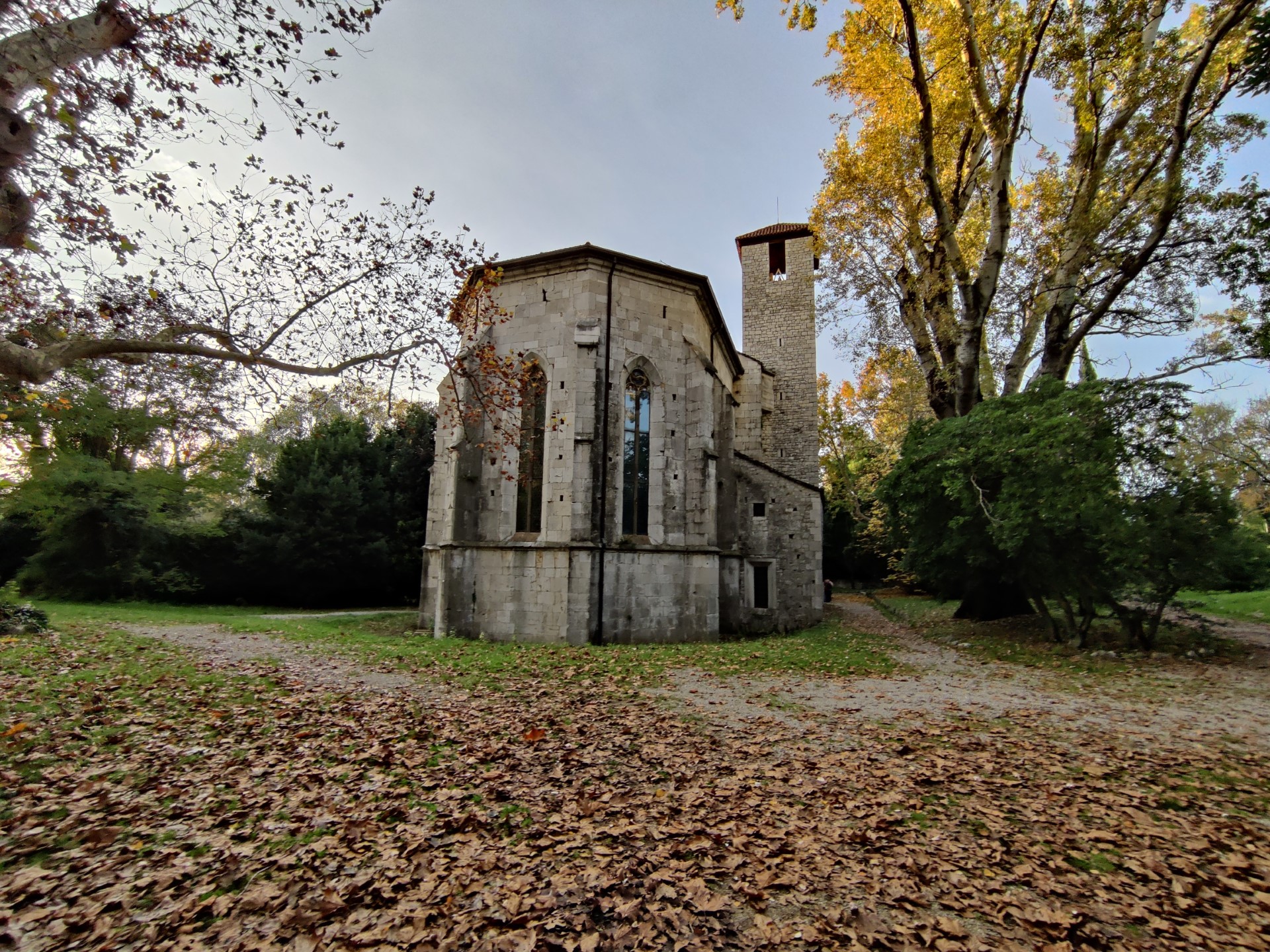
Photo 48
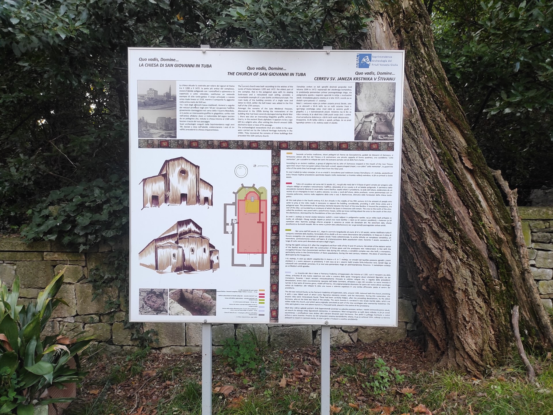
Photo 49
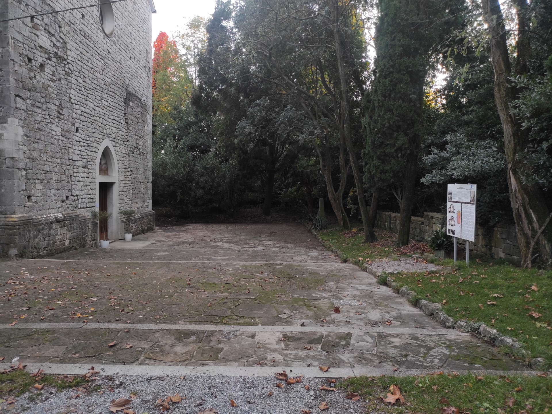
Photo 50
The Timavo Mouths are also connected to the San Giovanni parking lot. From here, the path is very short (about 130 meters) and free of rough or steep terrain. In fact, from the mouths, if we head west along the Church of San Giovanni in Tuba, the path surface is fine gravel on a slight incline (Photo 51).
A first information sign with characteristics similar to the previous one (H from the ground 73 and height 180 cm) illustrates the phenomenon of Karst and the case of Timavo with illustrations and texts written in small (Photo 52); subsequently, towards the parking lot, there will be another one with similar characteristics that illustrates the historical aspects of the site (Photo 56).
A little further on, another panel informs about the area’s paths on a satellite photographic map, similarly to the sign near the Timavo Mouth III. It is placed in an elevated position reachable by a step of about 17 cm, about 3 meters from the path on sloping grass; the approach for a person in a wheelchair is not possible (Photo 53). The long staircase near this panel leads to the State Road 14, close to the bus stop.
After about ten meters, on the left, a pair of panels on an inclined plane illustrate the thematic paths of tourist interest in the entire area of the province of Trieste; the first panel illustrates the area of Duino (Photo 51): the map is very small, the texts are dense and long, in black characters on a white background, well readable and translated into three languages (Italian, Slovenian, and English) enriched with photographs and diagrams. The second panel presents the map of the entire province with numbered paths and a corresponding legend. There are no texts in braille or tactile maps. The metal structure has a height of 76 cm with space underneath for a correct approach even for people in wheelchairs (Photo 55).
The gravel path ends at km 1.51 and is connected to the asphalt by a drain with a height difference of about 3 cm at the time of the survey (Photo 57). Immediately on the left is the large asphalt parking lot without reserved spaces (Photo 58), only 130 meters from the Timavo mouths and 100 from the Church of San Giovanni in Tuba.
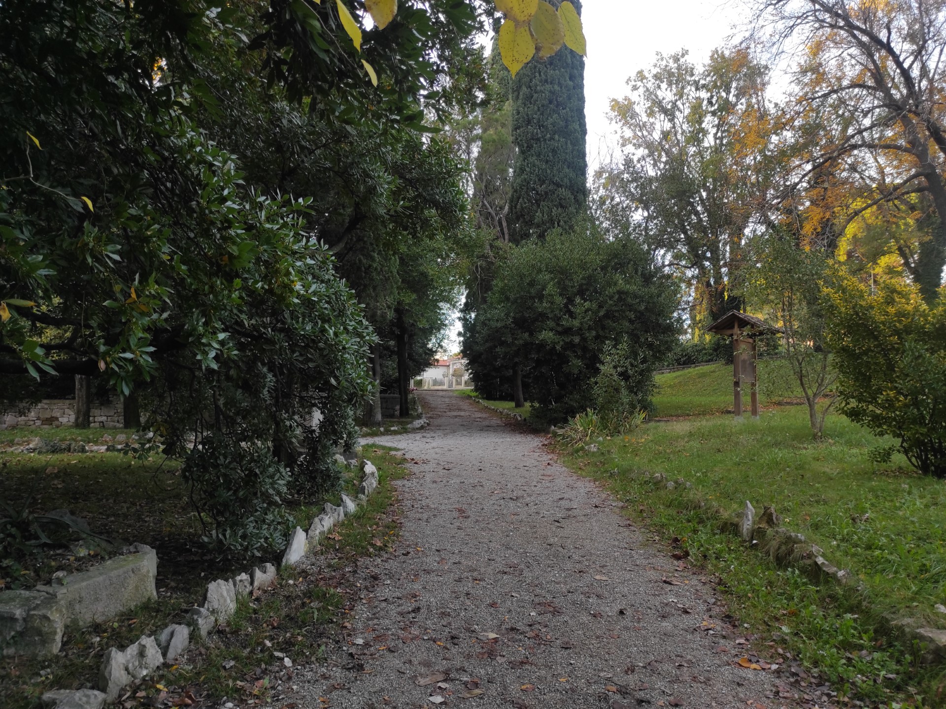
Photo 51
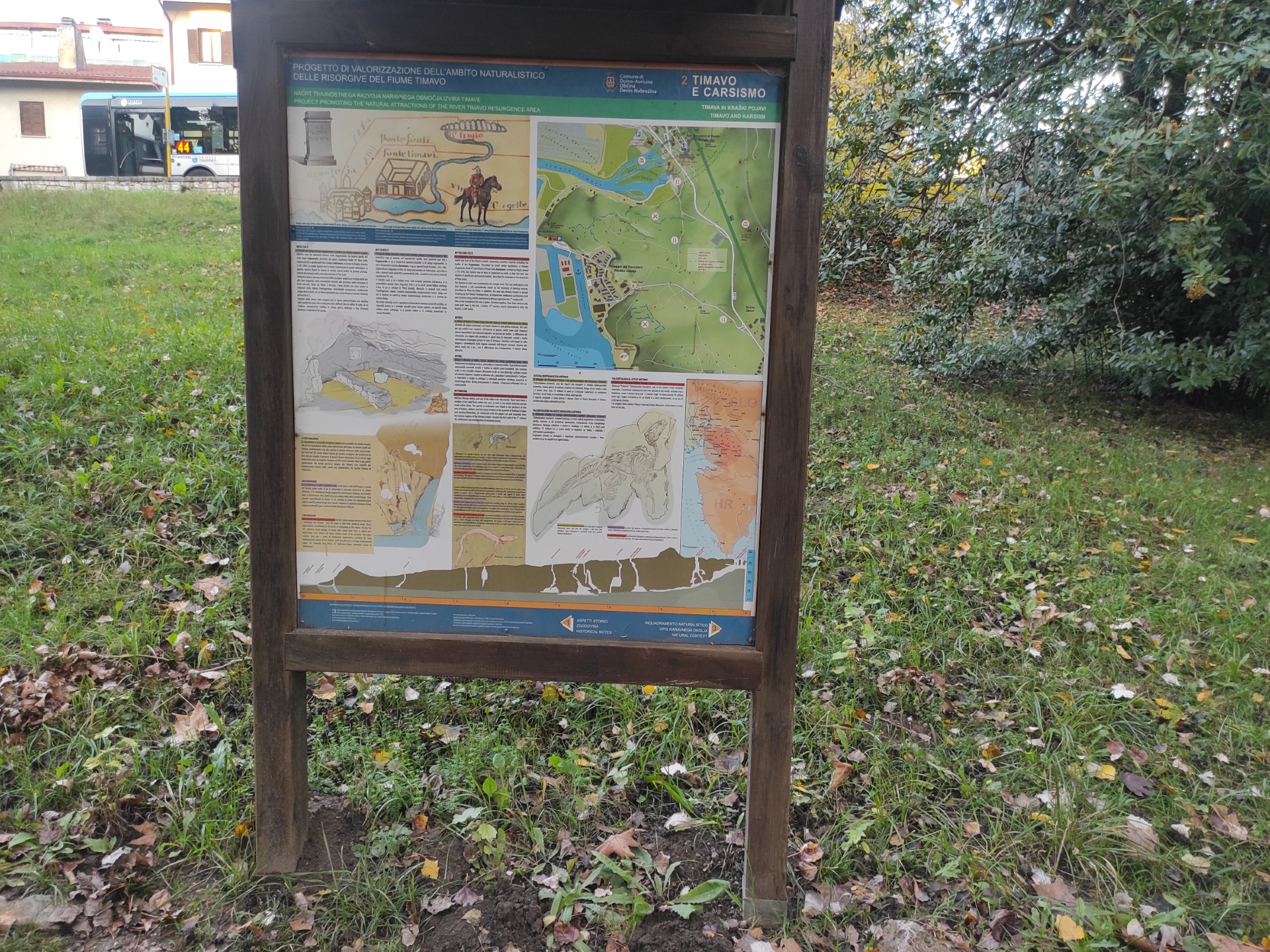
Photo 52
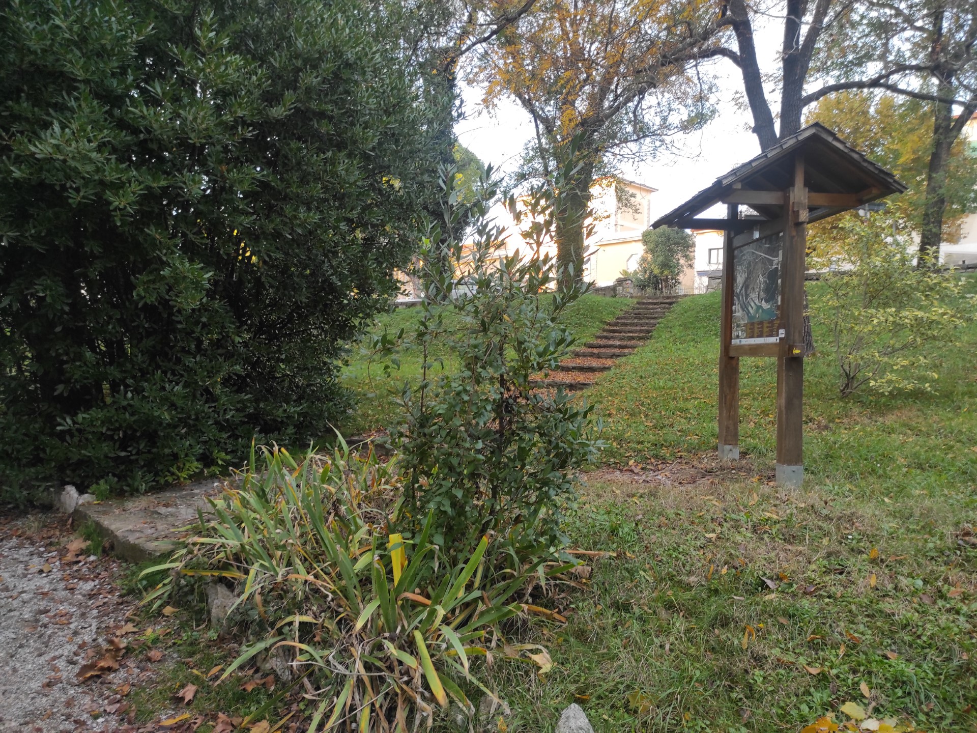
Photo 53
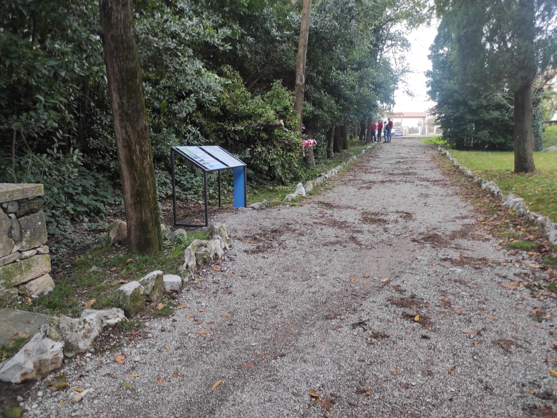
Photo 54
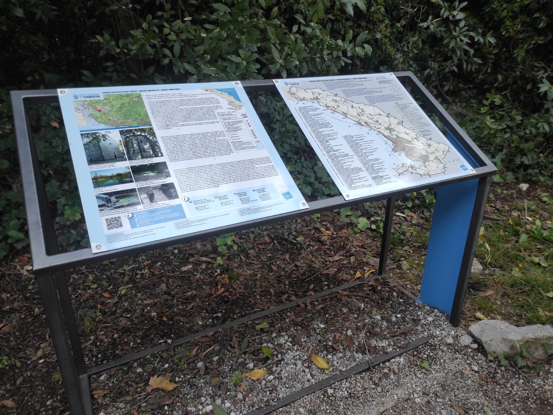
Photo 55
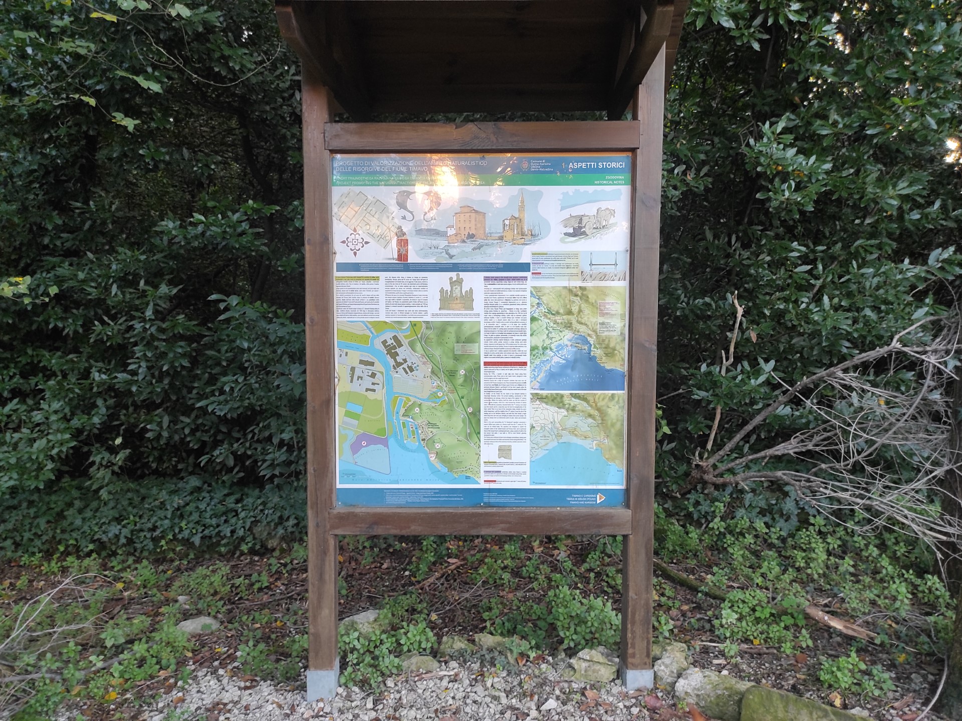
Photo 56
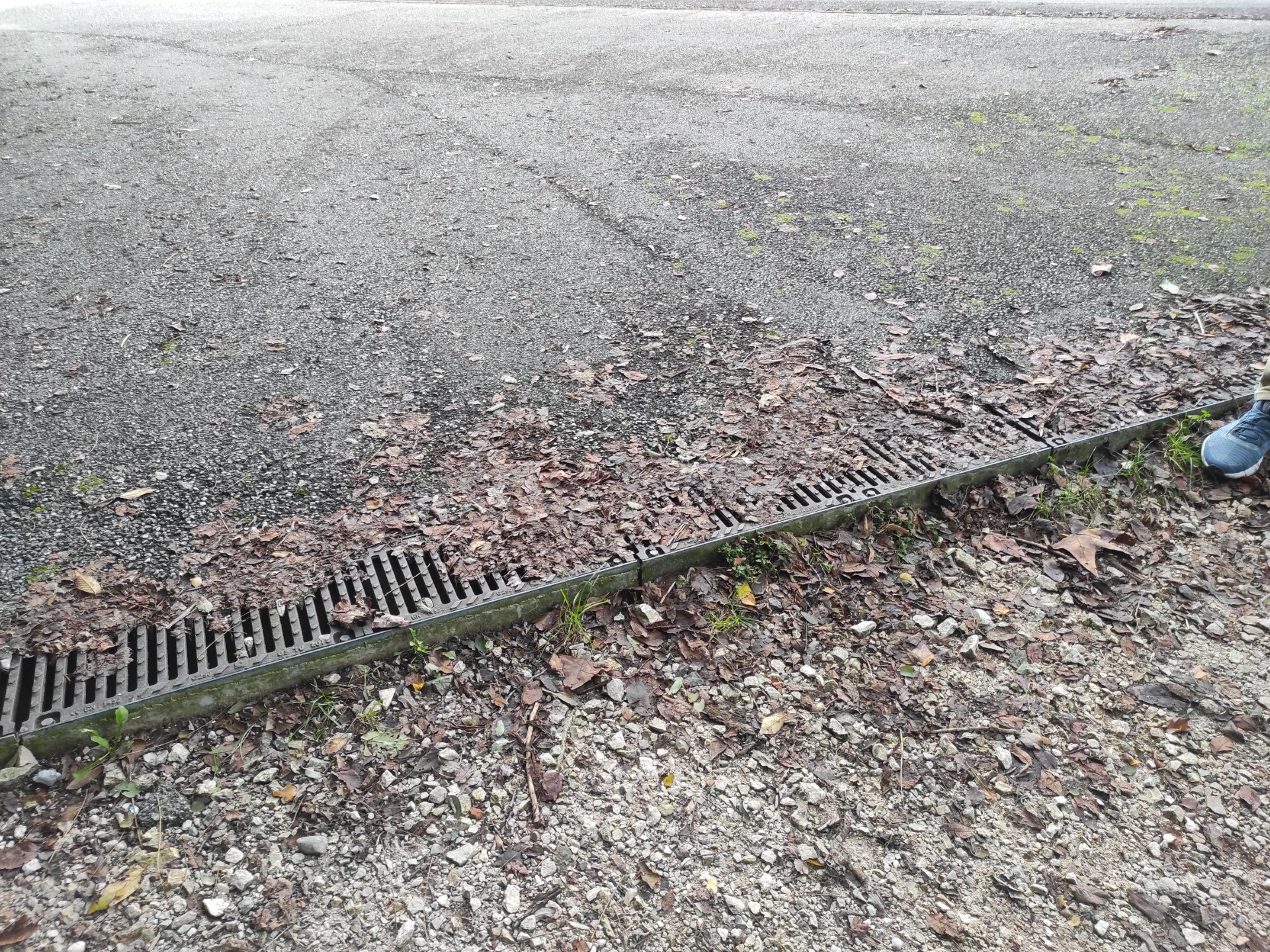
Photo 57
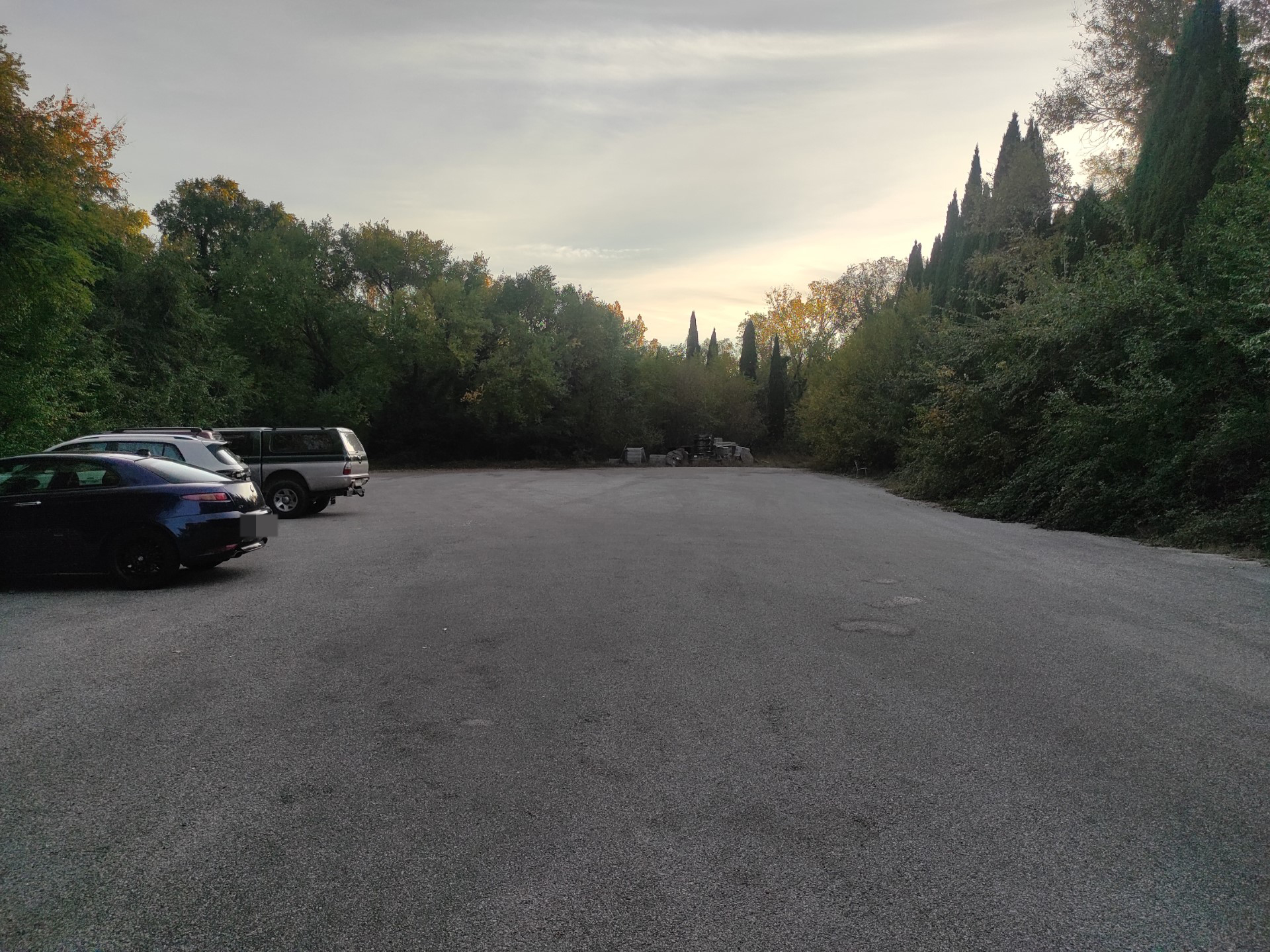
Photo 58