Povoletto - FVG in motion 10 thousand steps of health

Hill
GENERAL INFORMATION
LAST INSPECTION DATE
17/04/2023
PLANNED ITINERARY
Povoletto - FVG in motion 10 thousand steps of health
LENGTH
4700 meters
DEPARTURE
Savorgnano al Torre, locality Cortale
The route, called "Along the Torre Stream", develops in the territory of the municipality of Povoletto and has a circular shape, although it provides for two starting points: the main one is in the locality of Primulacco, the secondary one near Savorgnano al Torre.
The route begins from the starting point of Savorgnano al Torre, in the locality of Cortale. The parking area, a very large dirt square, is located next to the sports field adjacent to provincial road 77, just after crossing the bridge over the Torre towards Savorgnano. There are no reserved parking spaces for people with disabilities (Photo 1).
There are no signs with the description of the 10,000 steps or indicator signs in the immediate vicinity.
Using the map, one walks towards the bank of the Torre stream, crossing it, and then takes a path with a gravel dirt surface (Photo 3); this path represents a sort of connector that links the starting point of Savorgnano with the main circular route.
The connecting section continues for about 300 m (Photo 4 and Photo 5): at the connection point between the connector and the circular route, there is a directional sign (Photo 6).
The loop is traveled in a clockwise direction (Photo 7).
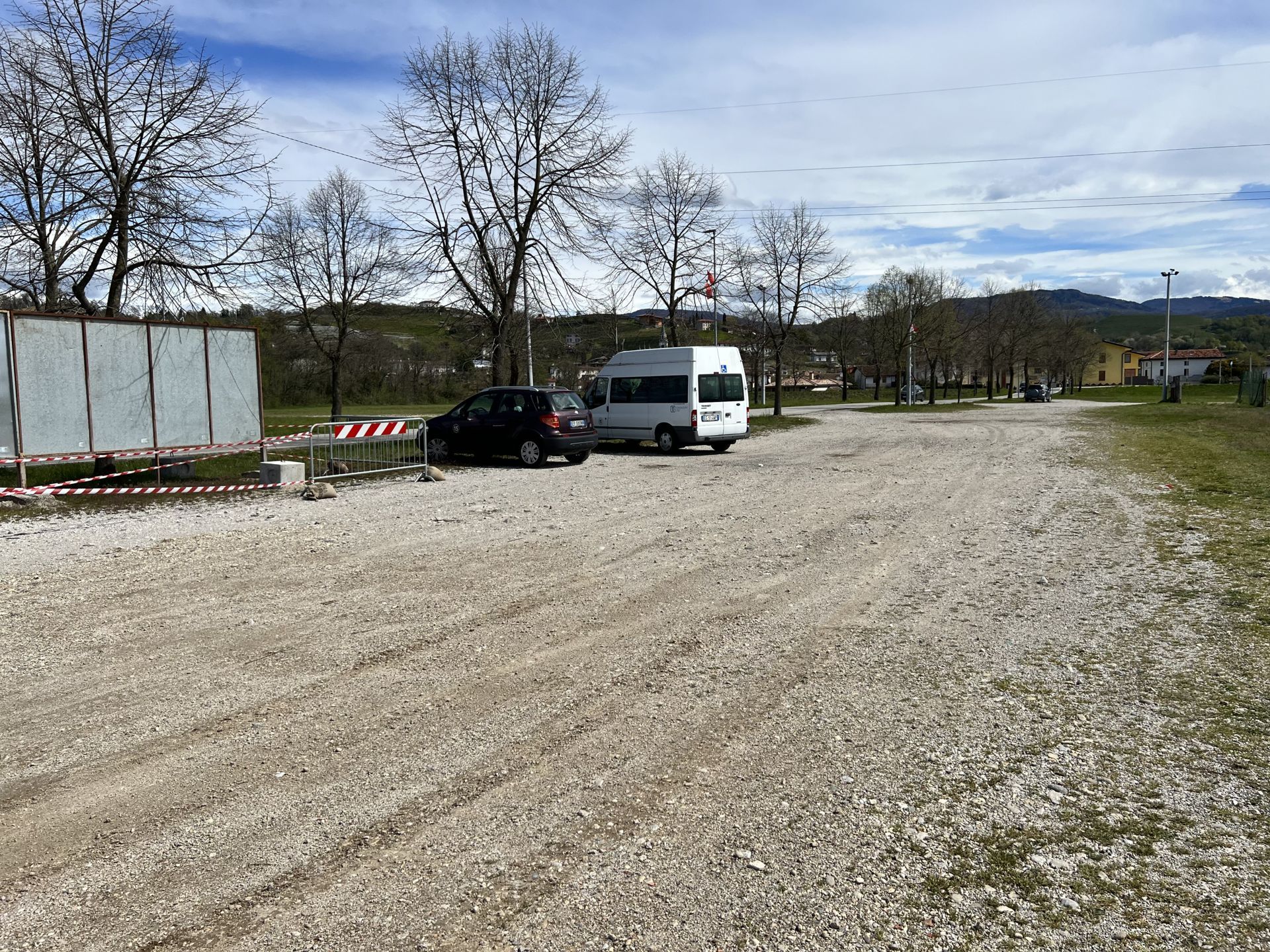
Photo 1 - Wide dirt square with parking
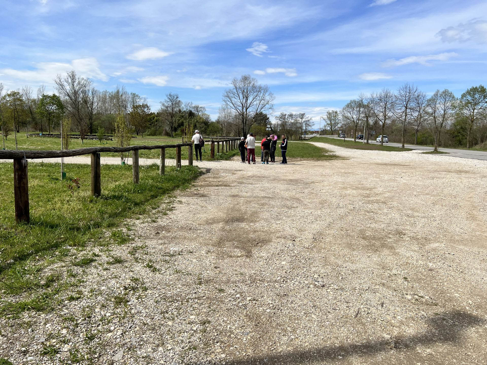
Photo 2 - Wide dirt square
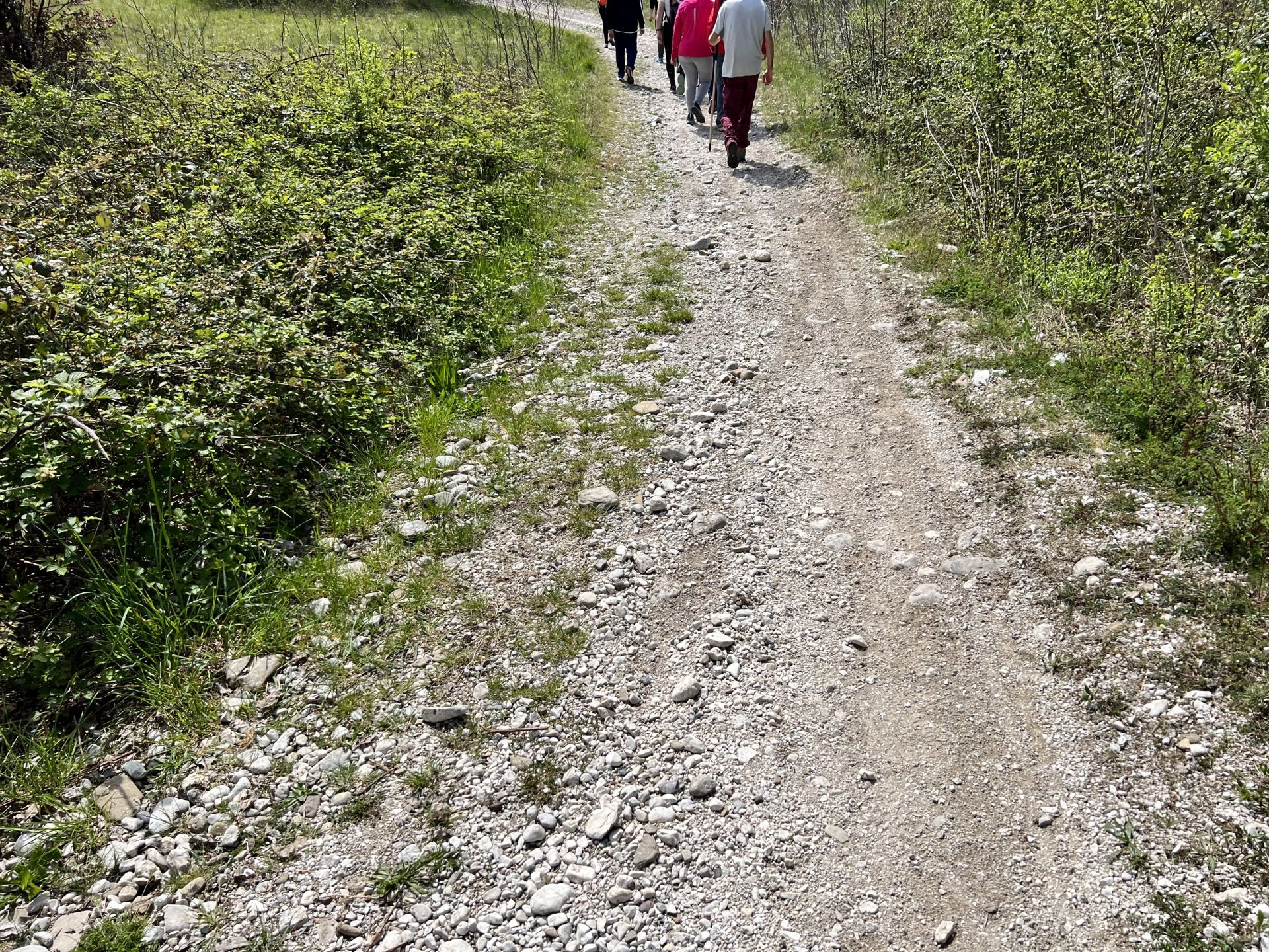
Photo 3 - Start of the trail with gravel dirt surface
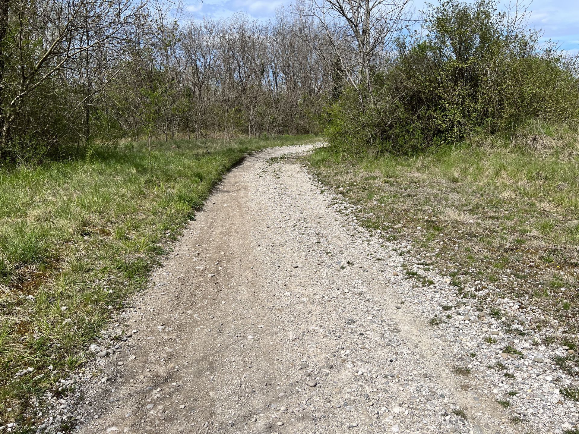
Photo 4 - Gravel dirt path
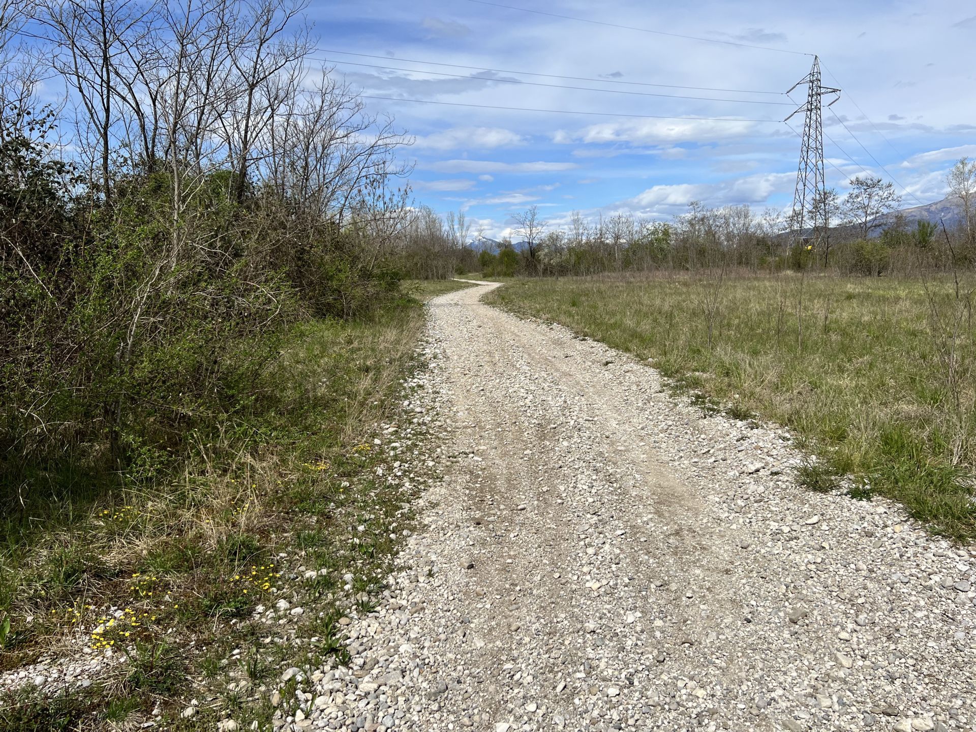
Photo 5 - Gravel dirt path
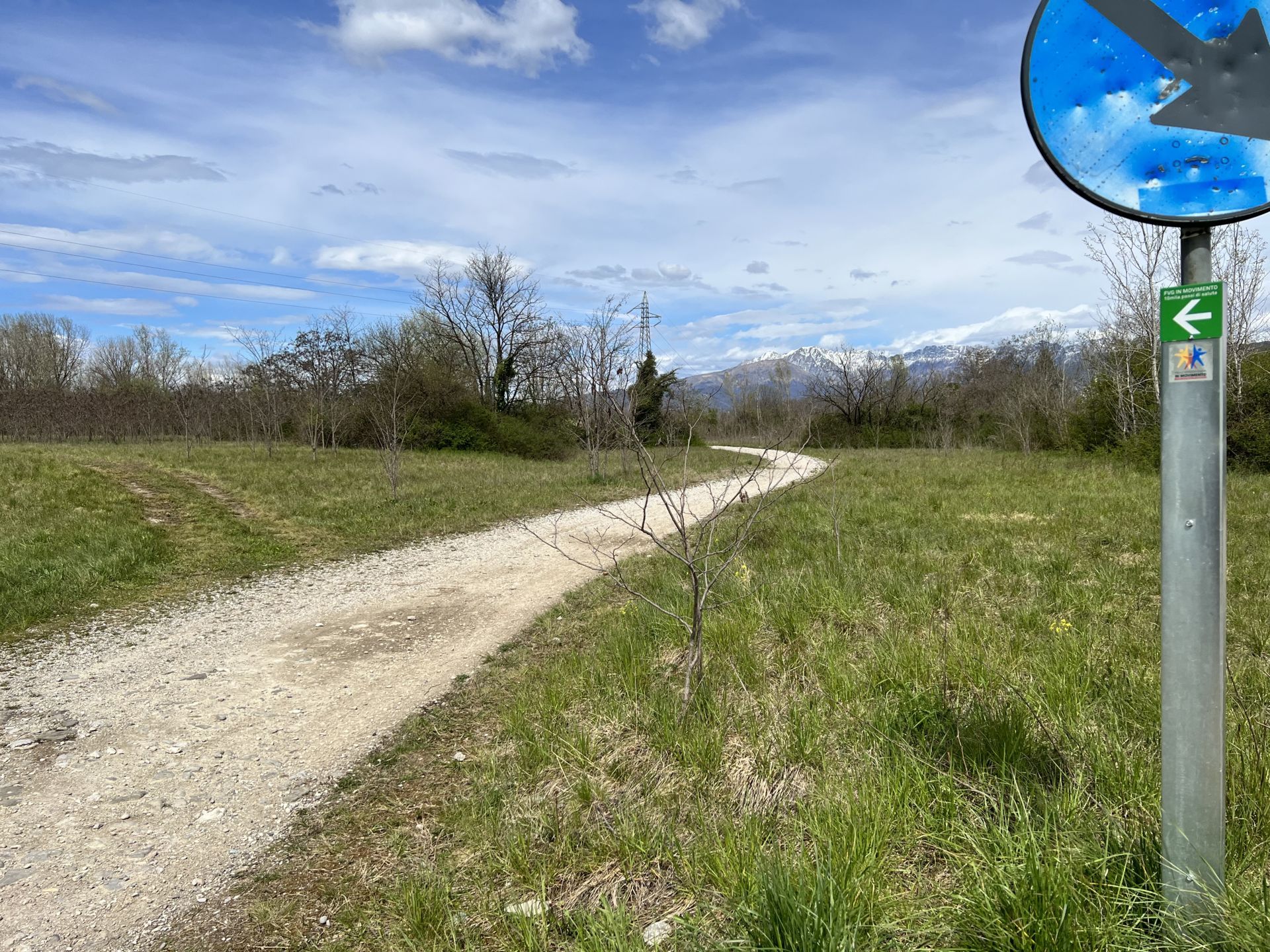
Photo 6 - Gravel dirt path
Photo 7 - Start of the loop trail
It is noted that the arrows on the indicator posts along the path, visible in the photos, do not correspond to the direction of travel as the original structure of the path, also shown on the map and the information board, indicates departure from Primulacco (main) and a counterclockwise route. However, the change in the direction of travel does not affect the recognition of the path.
The initial stretch of road is about 3-4 meters wide with a compact dirt surface and fine gravel (Photo 8); the presence of dips and puddles is noted (Photo 9 and Photo 10).
The path continues for 600 meters: the surface is still compact with fine gravel present in some medium-sized sections, and the path does not present particular difficulties (Photo 11 and Photo 12).
At km 0.950 from the start, the dirt road has slight ups and downs, and the surface is characterized by the emergence of large stones. (Photo 13 and Photo 14).
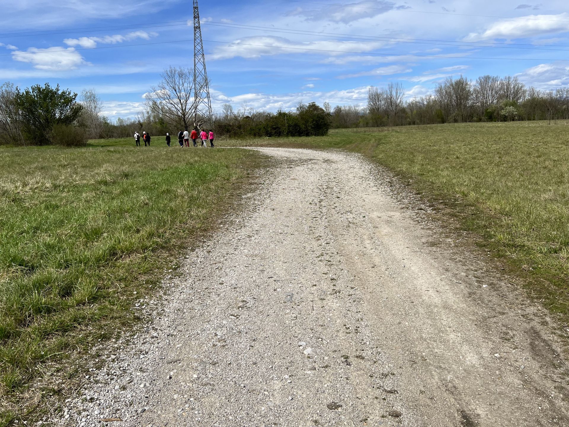
Photo 8 - Dirt path with fine gravel
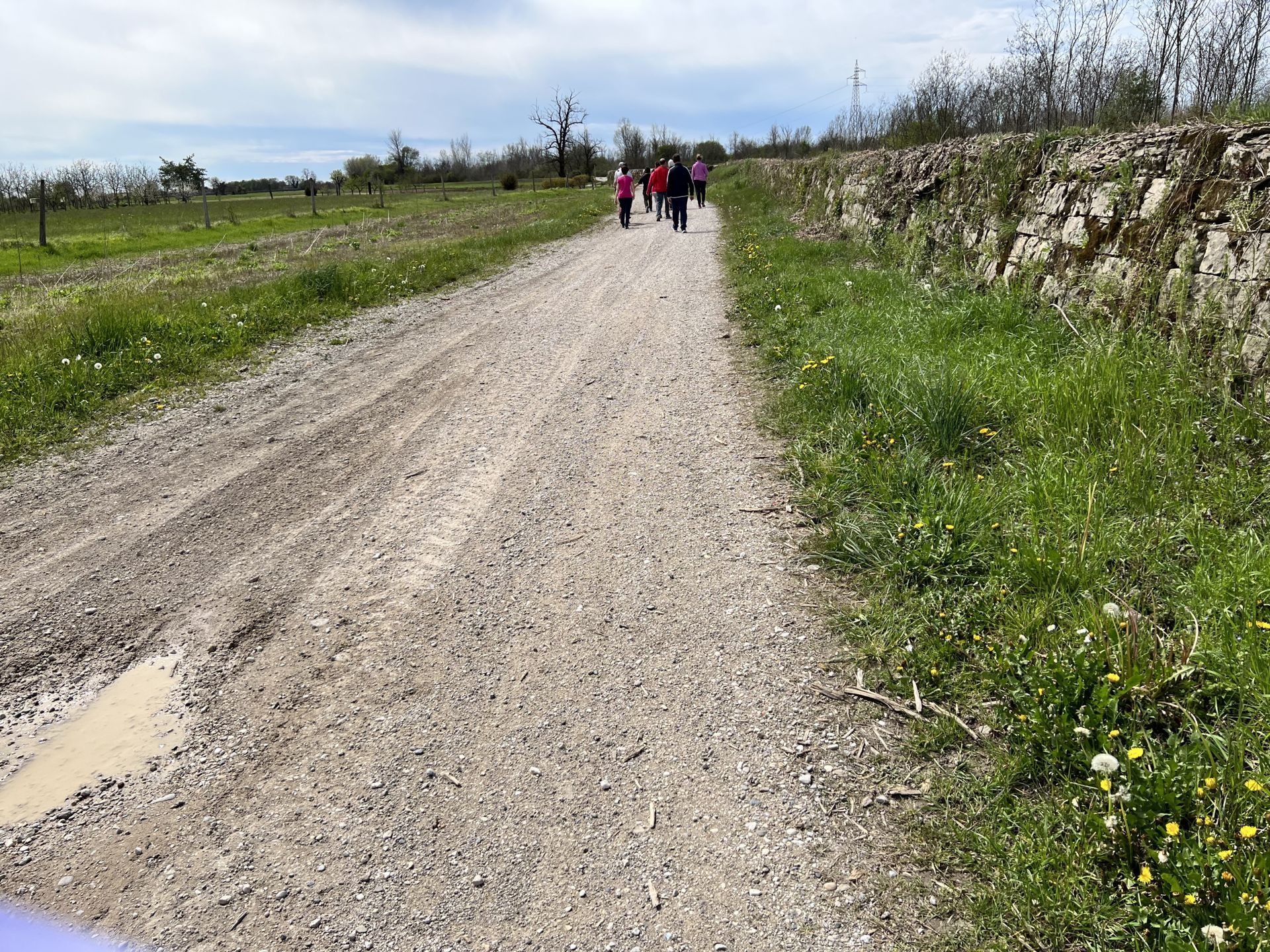
Photo 9 - Dirt path with possible dips and puddles
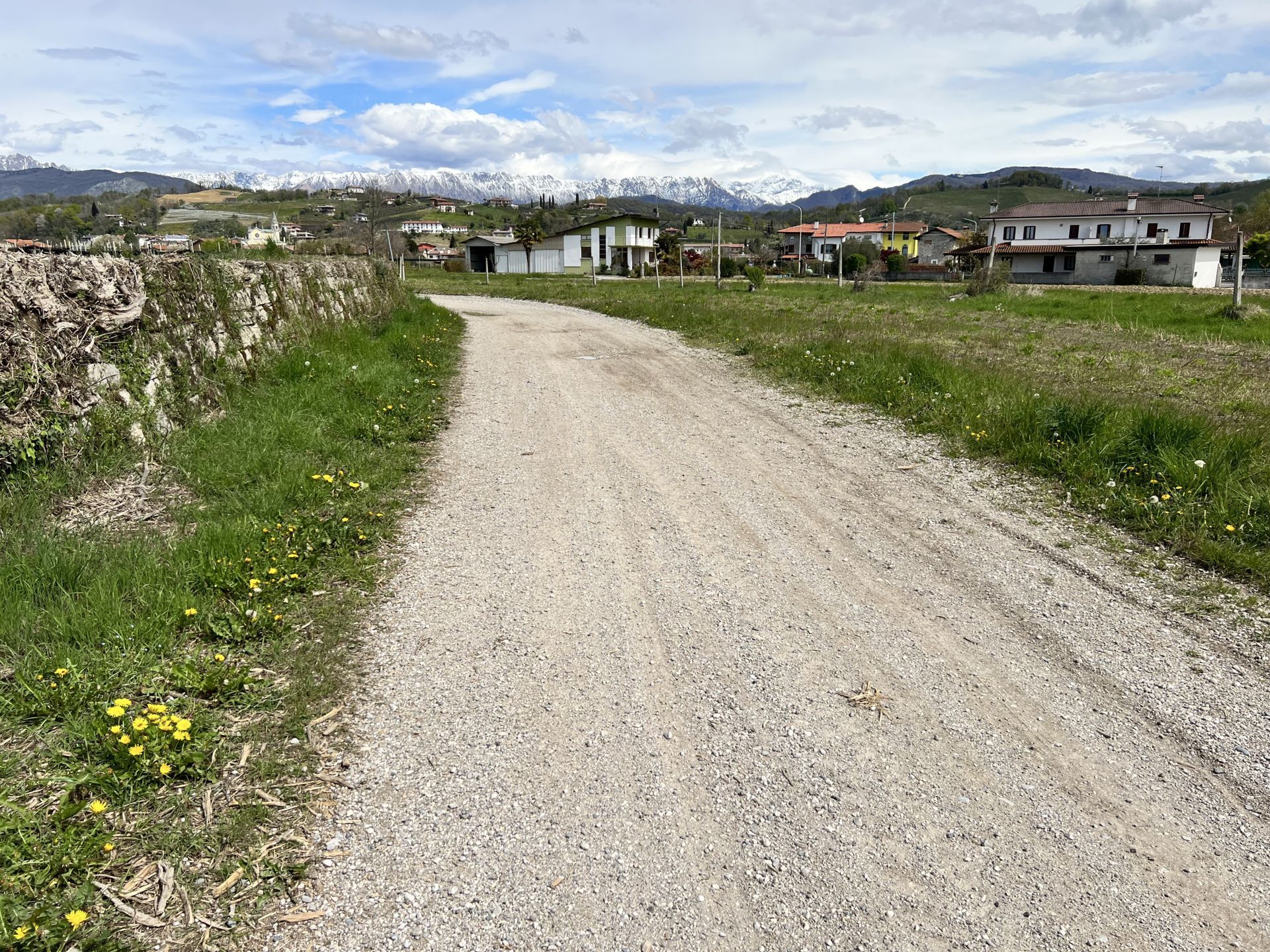
Photo 10 - Dirt path with possible dips and puddles
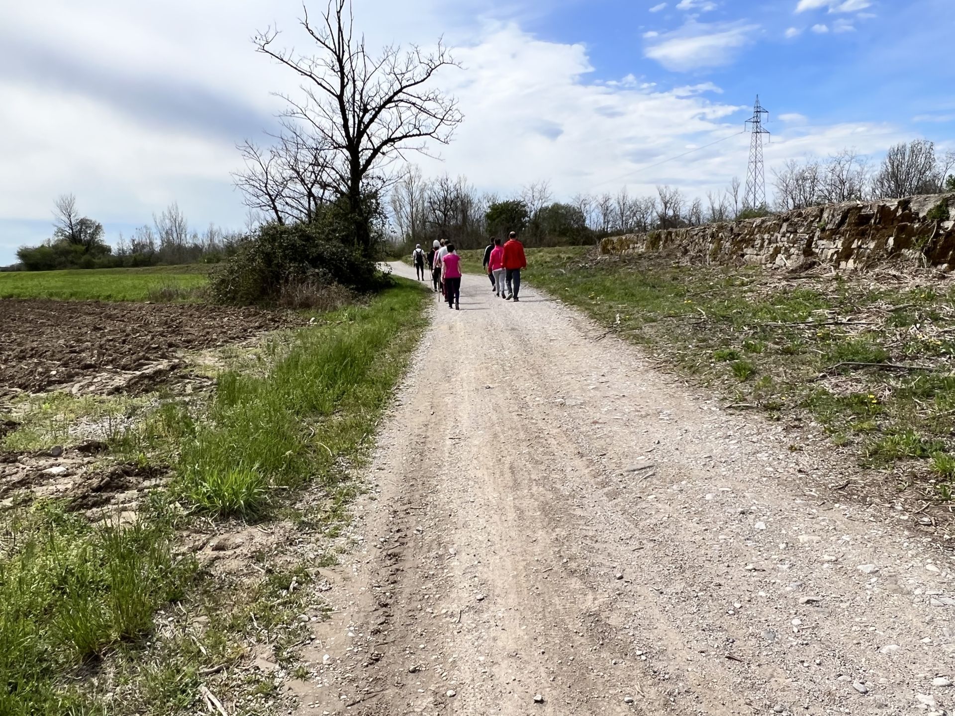
Photo 11 - Dirt path with fine gravel
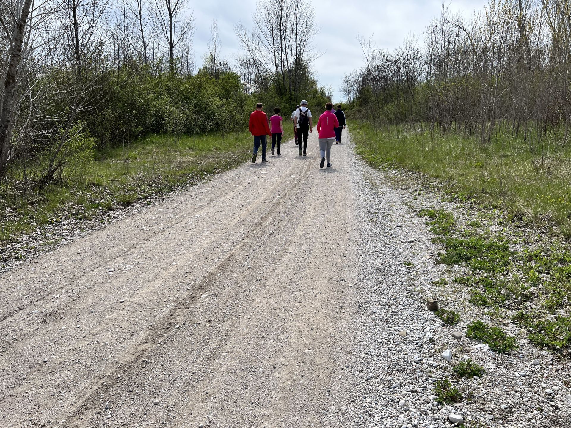
Photo 12 - Dirt path with fine gravel
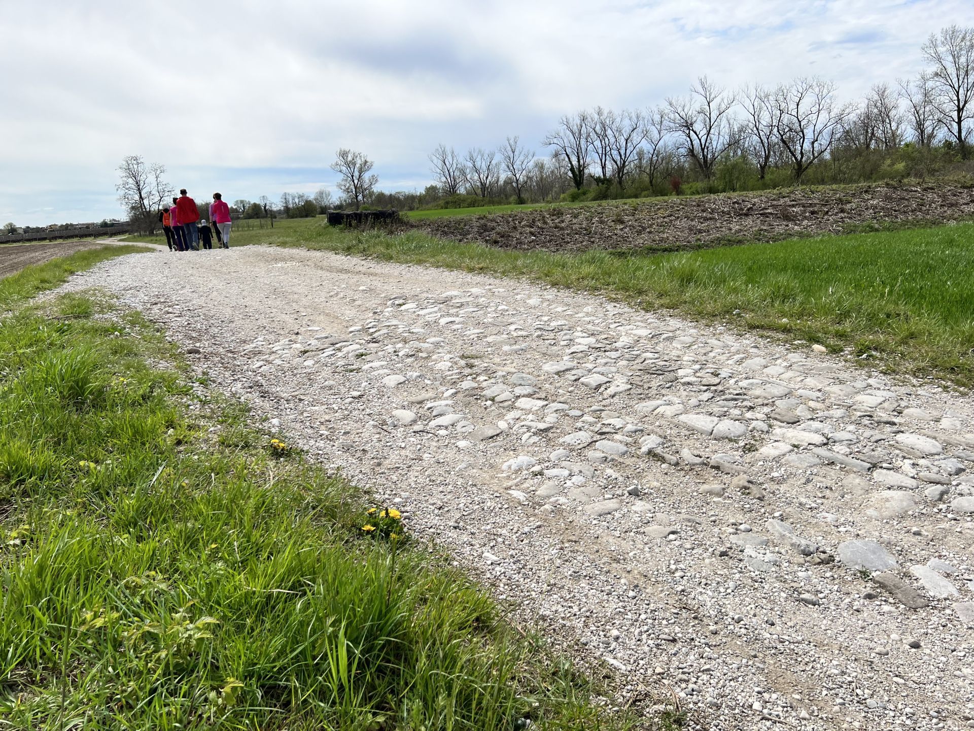
Photo 13 - Dirt road with slight ups and downs and presence of large stones
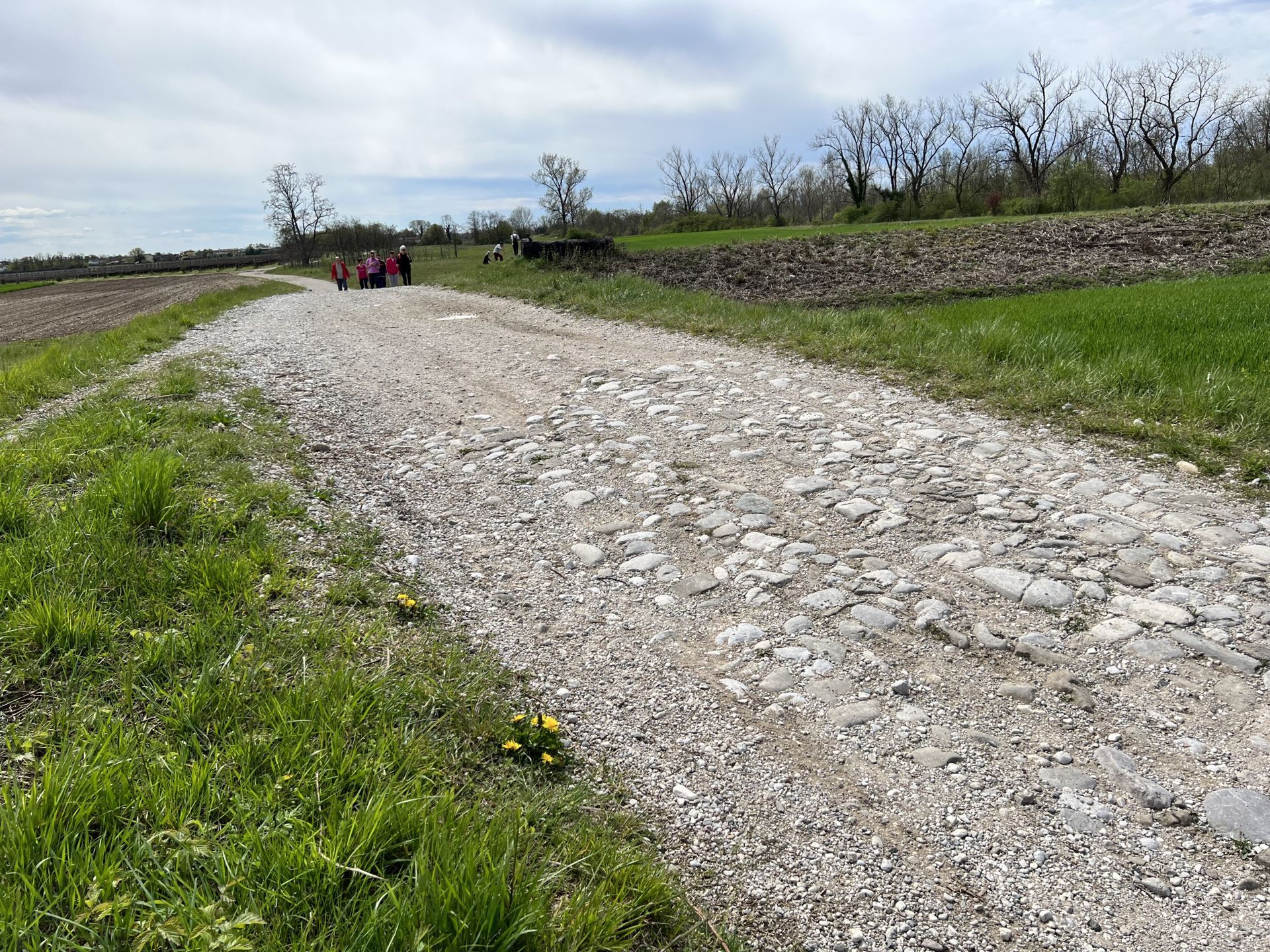
Photo 14 - Dirt road with slight ups and downs and presence of large stones
After about 1 km from the start, the documented path leaves the dirt track and climbs onto a small embankment; È it is necessary to rely on the map to take the right direction as there are no indicator signs (photo 15).
The path on the embankment is about 50 cm wide and is characterized by two tracks of earth separated by a grassy strip (Photo 16). The path's surface has irregularities and in some sections is uneven (Photo 17 and Photo 18). Since it is located at a higher elevation compared to the surrounding land, it is possible to see in the distance on the right, the bed of the Torre stream and on the left the cultivated fields (Photo 19). At this point, the two resting areas indicated on the information board of the 10,000 steps are not present.
At about 2.350 km from the start, the path on the embankment is abruptly interrupted by the intersection with the main dirt track. (Photo 20).

Photo 15 - Continuation of the path above a small embankment
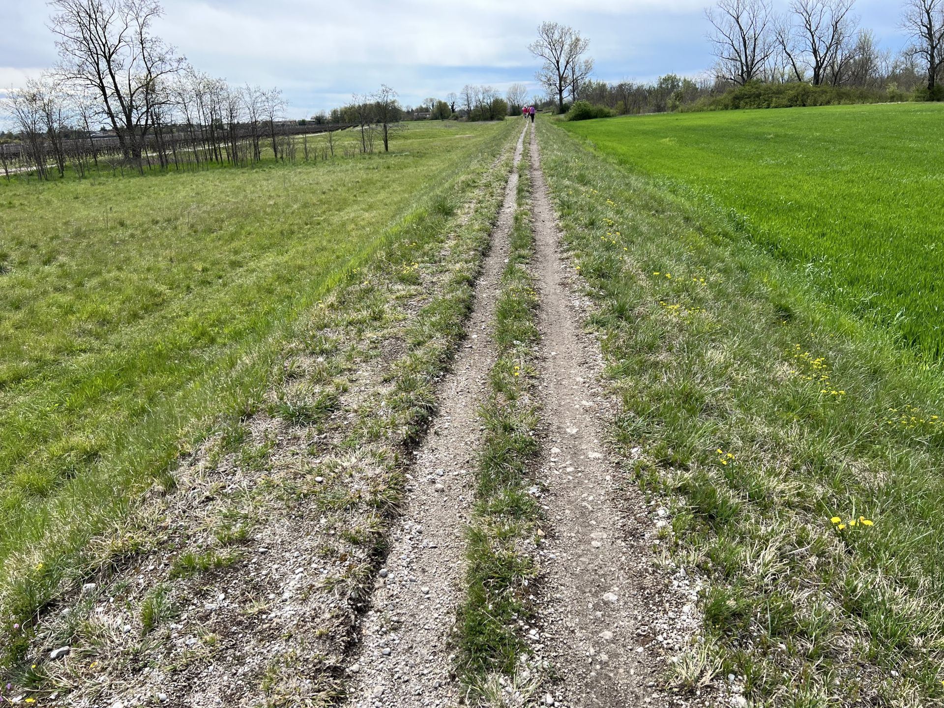
Photo 16 - Path about 50 cm wide, unpaved and grassy
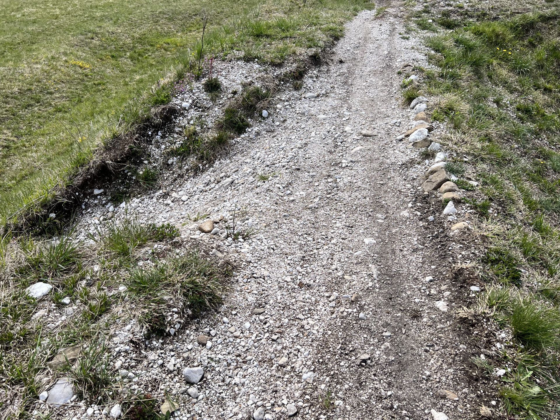
Photo 17 - Path with irregularities and uneven in some sections
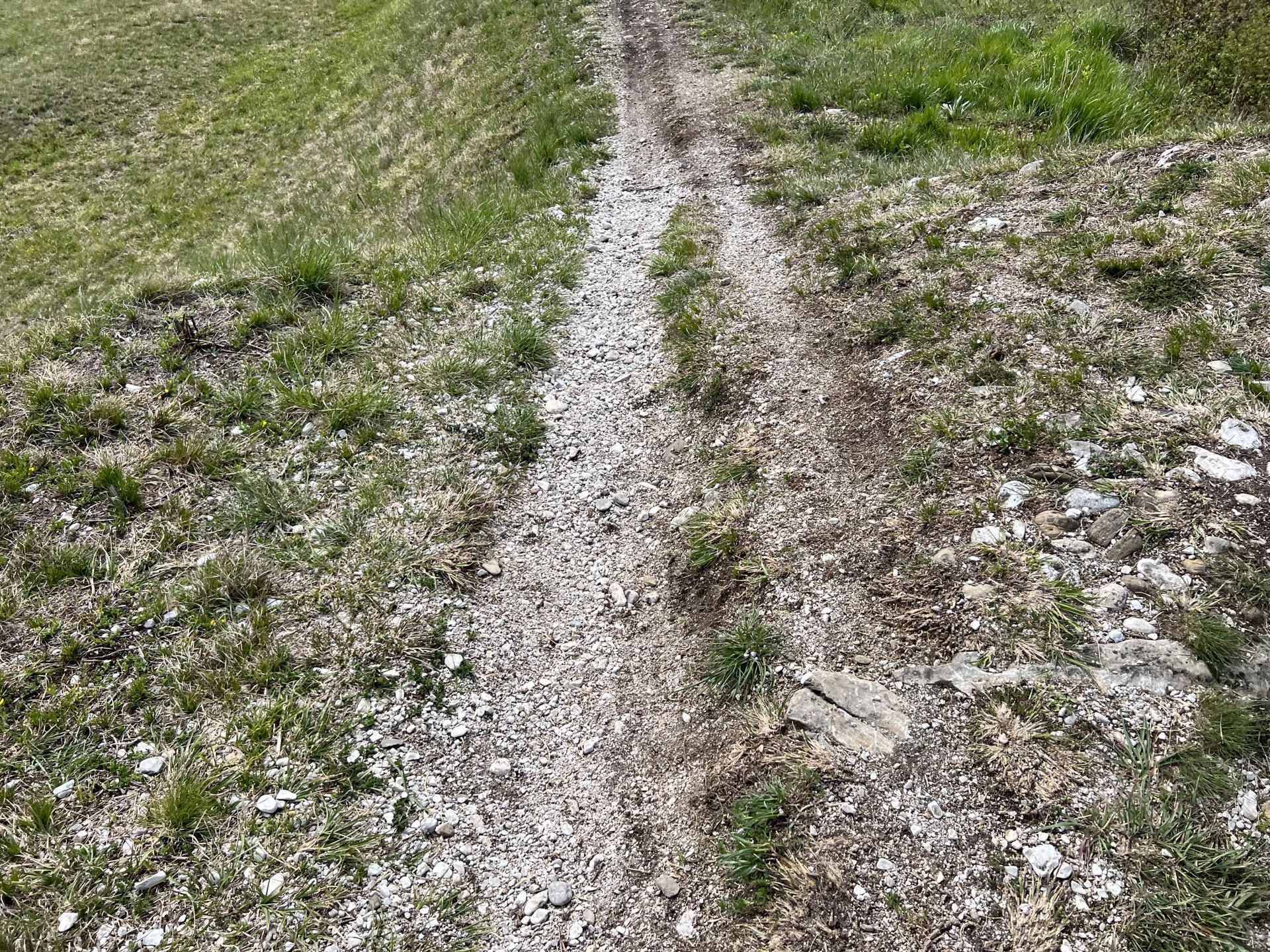
Photo 18 - Path with irregularities and uneven in some sections
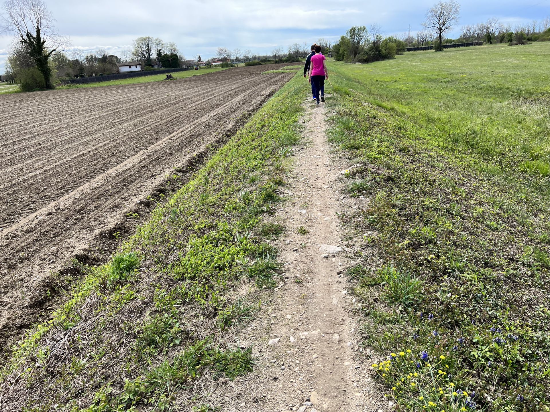
Photo 19 - The Torre stream is visible on the right from the path
Photo 20 - Interruption of the path on the embankment
To descend from the embankment onto the path, there is a first very steep ramp, with an incline of about 15 degrees (Photo 21). To ascend the embankment, however, it is necessary to take a second ramp with an incline of 10 degrees (Photo 22 and Photo 23).
You continue again on the embankment (Photo 24). At about 2.600 km from the start, the path on the embankment undergoes a significant narrowing; there is a sign indicating the 10,000 steps route (Photo 25)
It is necessary to traverse the last stretch of the embankment with caution, as it has an uneven surface and wooden planks to balance on (Photo 26).
Photo 21 - Descent from the embankment via a very steep ramp
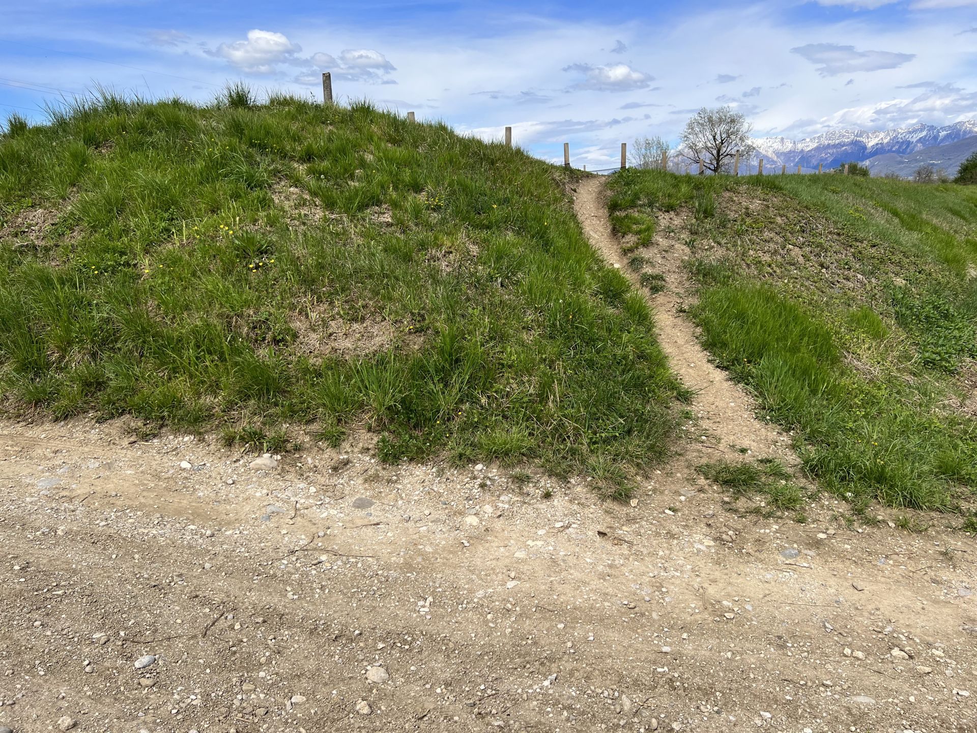
Photo 22 - Ascent of the embankment via a ramp (slope about 10 degrees)
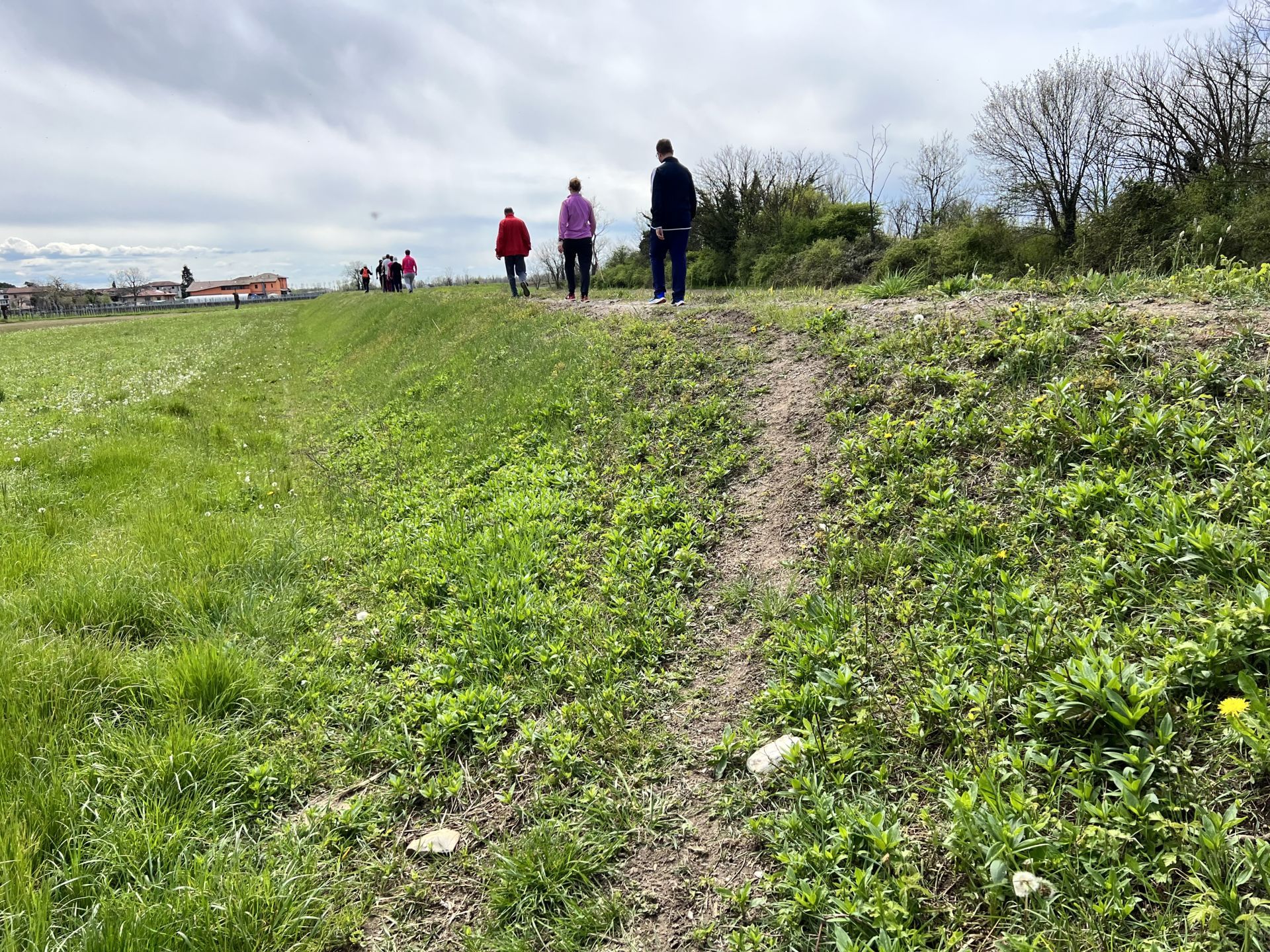
Photo 23 - Ascent of the embankment via a ramp (slope about 10 degrees)
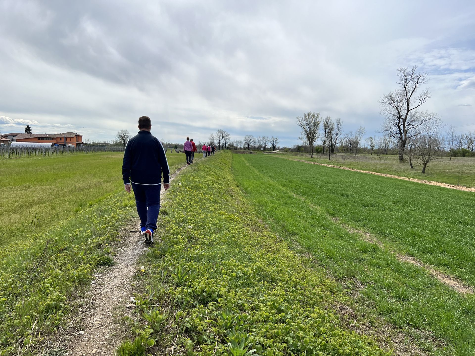
Photo 24 - Path on the embankment
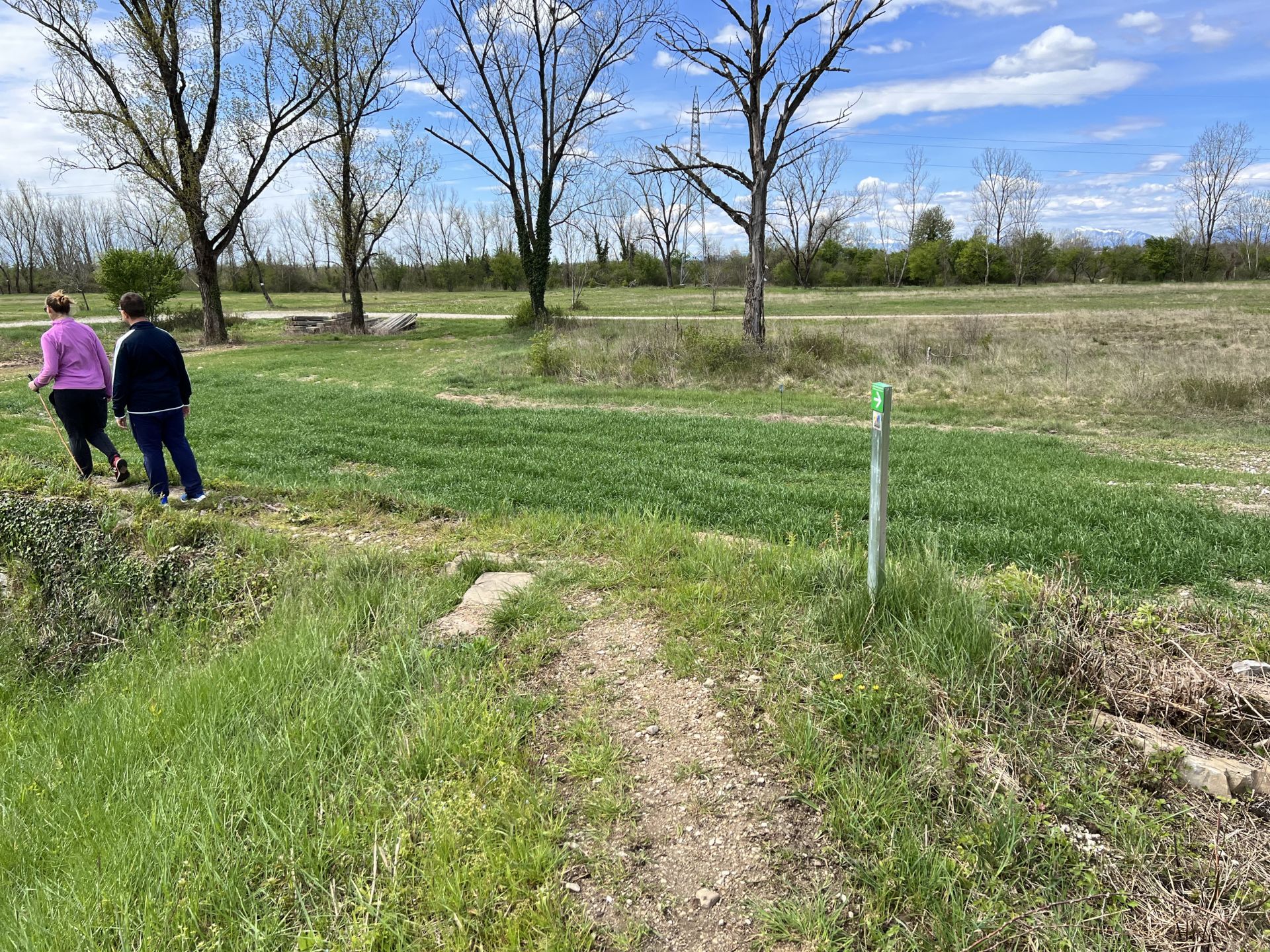
Photo 25 - Path on the embankment (presence of directional indicator sign)
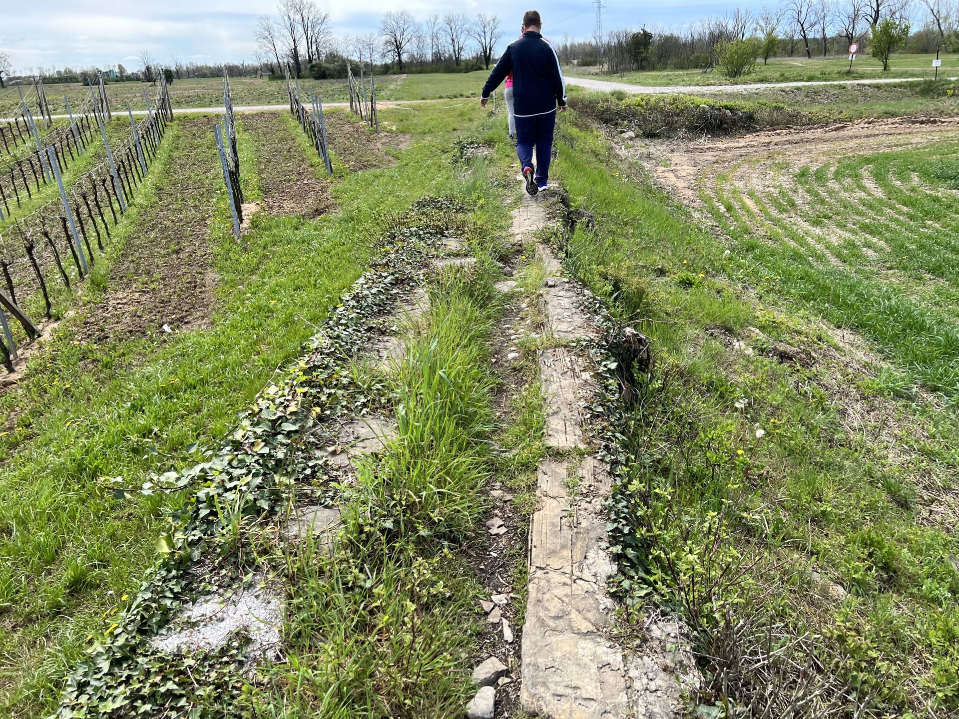
Photo 26 - Last stretch of the path on the embankment with uneven ground and wooden planks
At km 2.700 from the start, you descend from the embankment and walk along a large dirt path. In the locality of Primulacco, near the small church of San Nicolò and a refreshment point, there is also the information board for the 10,000 steps, as this is the main starting point of the route (Photo 27 and Photo 28).
You continue to complete the route always in a clockwise direction, taking the right branch at the next fork (Photo 29); in this stretch, the ground has large scattered stones, making it difficult to traverse (Photo 30).
At km 2.860 from the start, there is a fork. Since there are no indicator signs, it is necessary to rely on the map which suggests turning left, towards the bed of the Torre (Photo 31); the ground is unpaved, with gravel present (Photo 32).
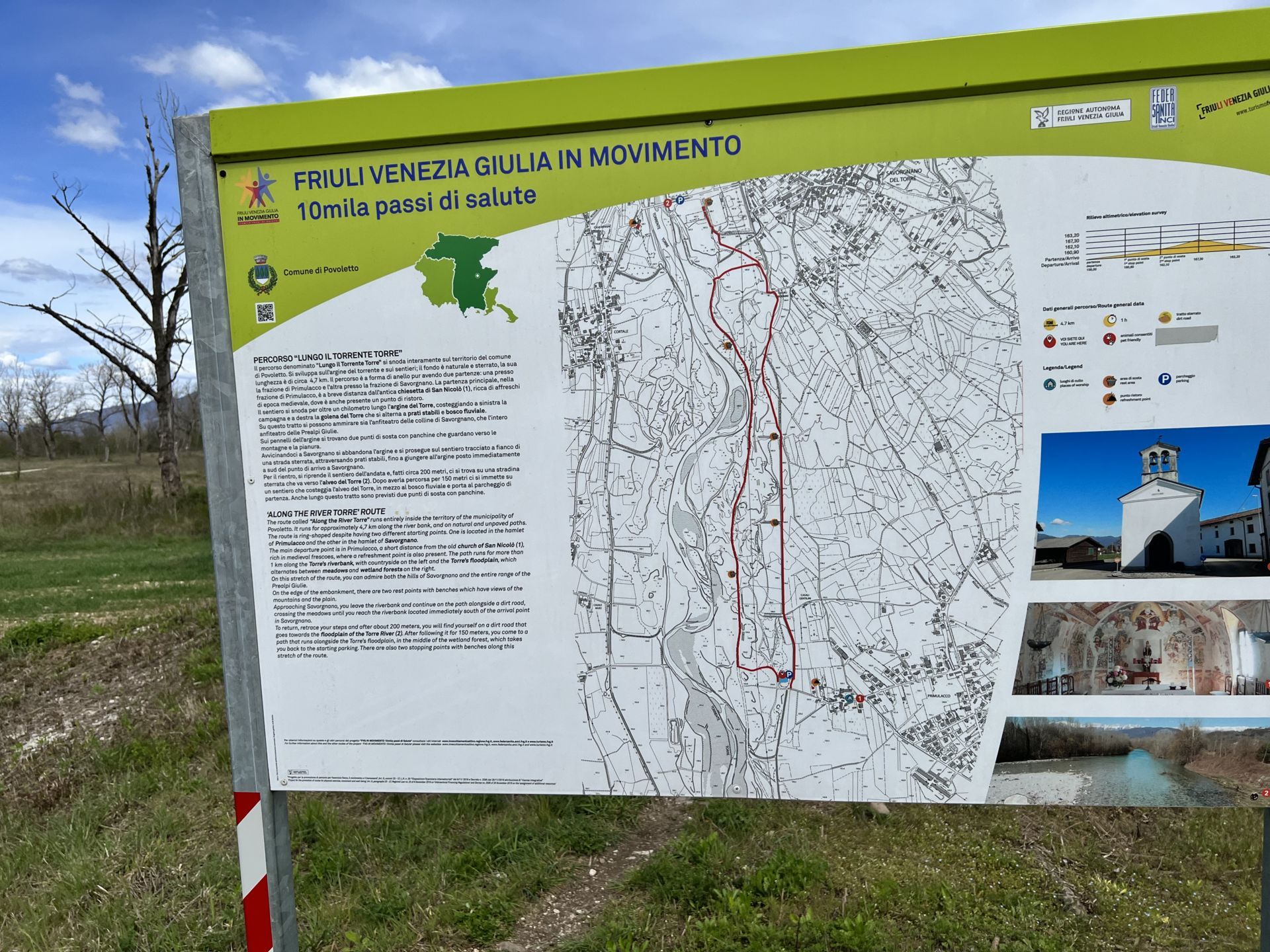
Photo 27 - Information sign
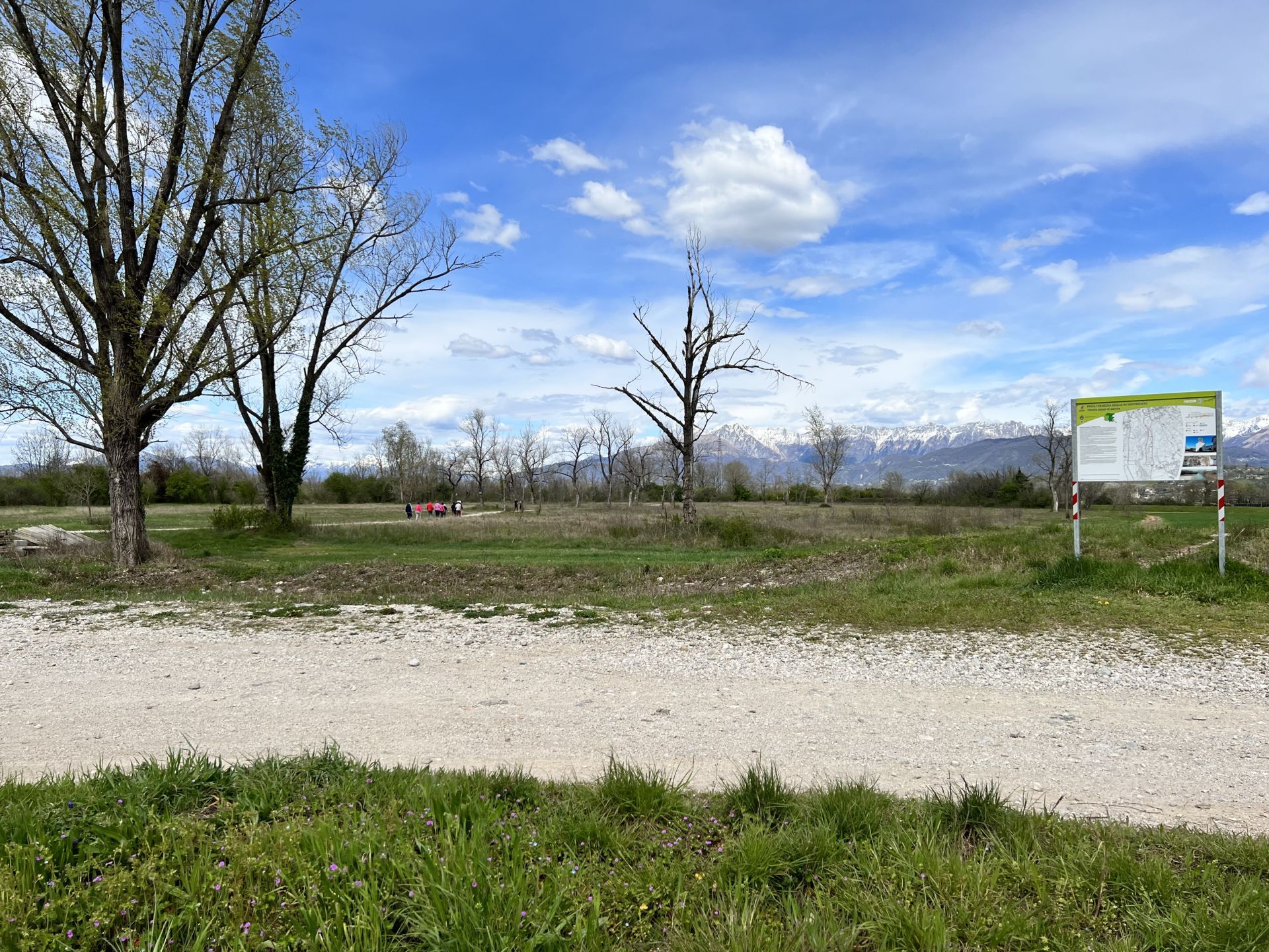
Photo 28 - Dirt path
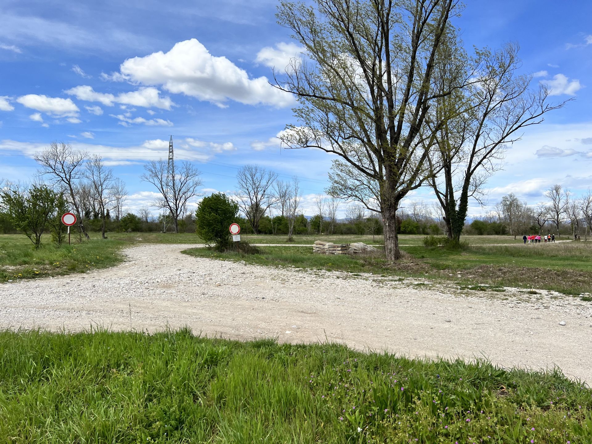
Photo 29 - Fork, the path continues on the right branch
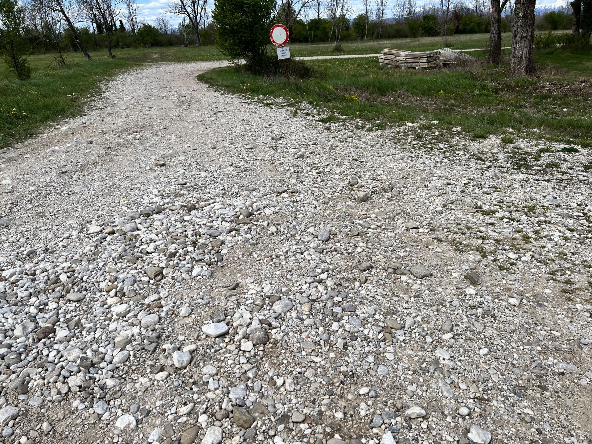
Photo 30 - Dirt path with large stones
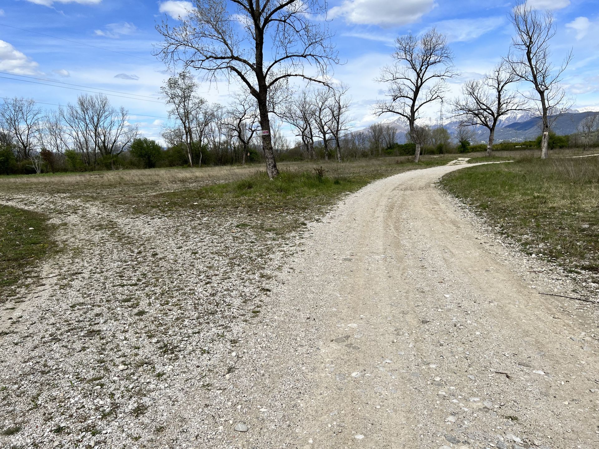
Photo 31 - Fork, the path continues on the left
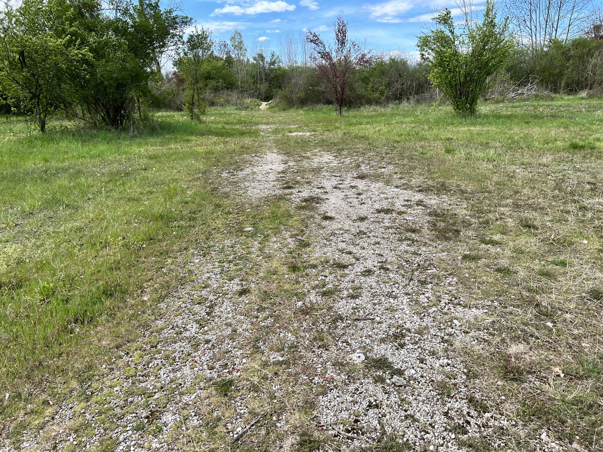
Photo 32 - Dirt path
At km 2.960 from the start, it is necessary to cross a small embankment about 1 meter high (Photo 33) and then continue on a dirt and undulating path (Photo 34); in this section, there are medium-sized stones on the path.
From km 3.000 to km 3.100, there is a stretch of track that resembles the bed of a stream: there are large loose stones, hazardous for walking (Photo 35).
After the stony area, a small dirt path is taken, whose track is about 30 cm wide (Photo 36). At times, the surface of the track becomes gravelly with some embankments about 1 meter high (Photo 37 and Photo 38).
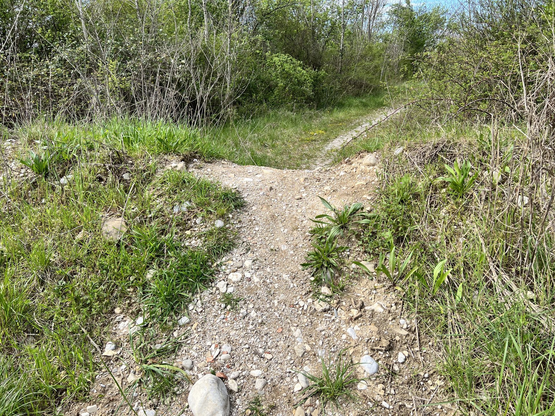
Photo 33 - Embankment about 1 meter high
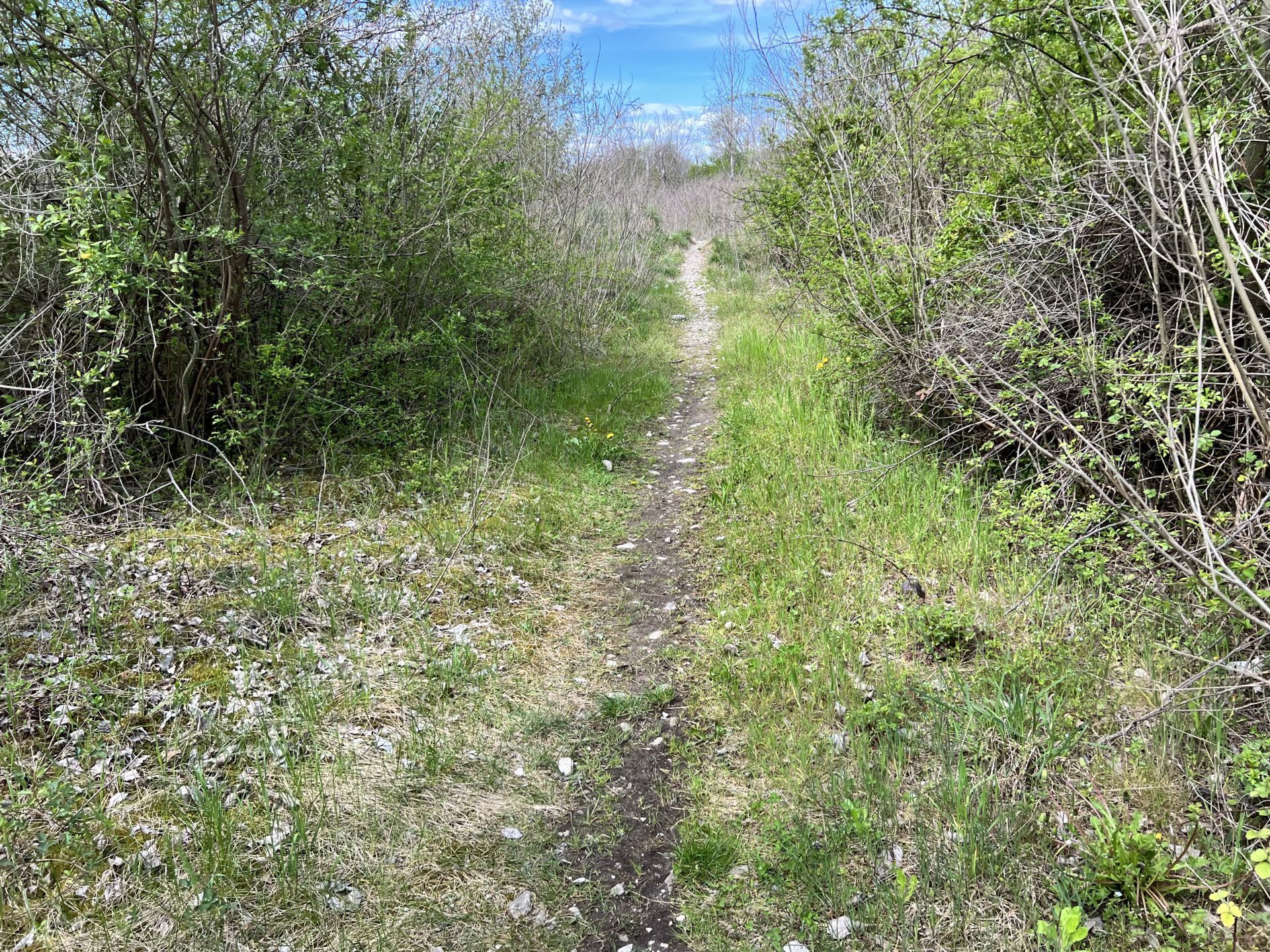
Photo 34 - Dirt path that is uneven with the presence of stones
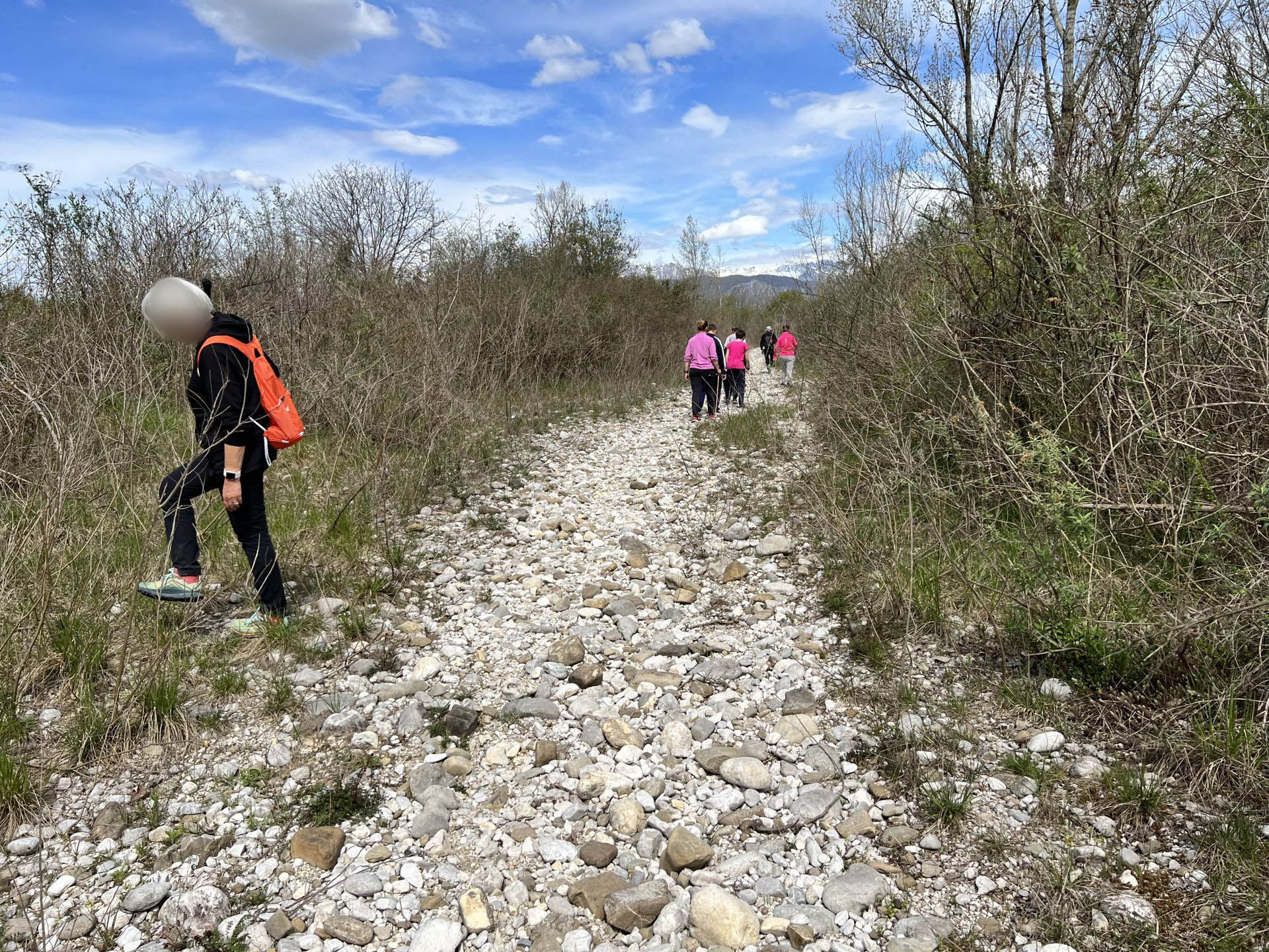
Photo 35 - Dirt path with large rocks present
Photo 36 - Very narrow dirt path
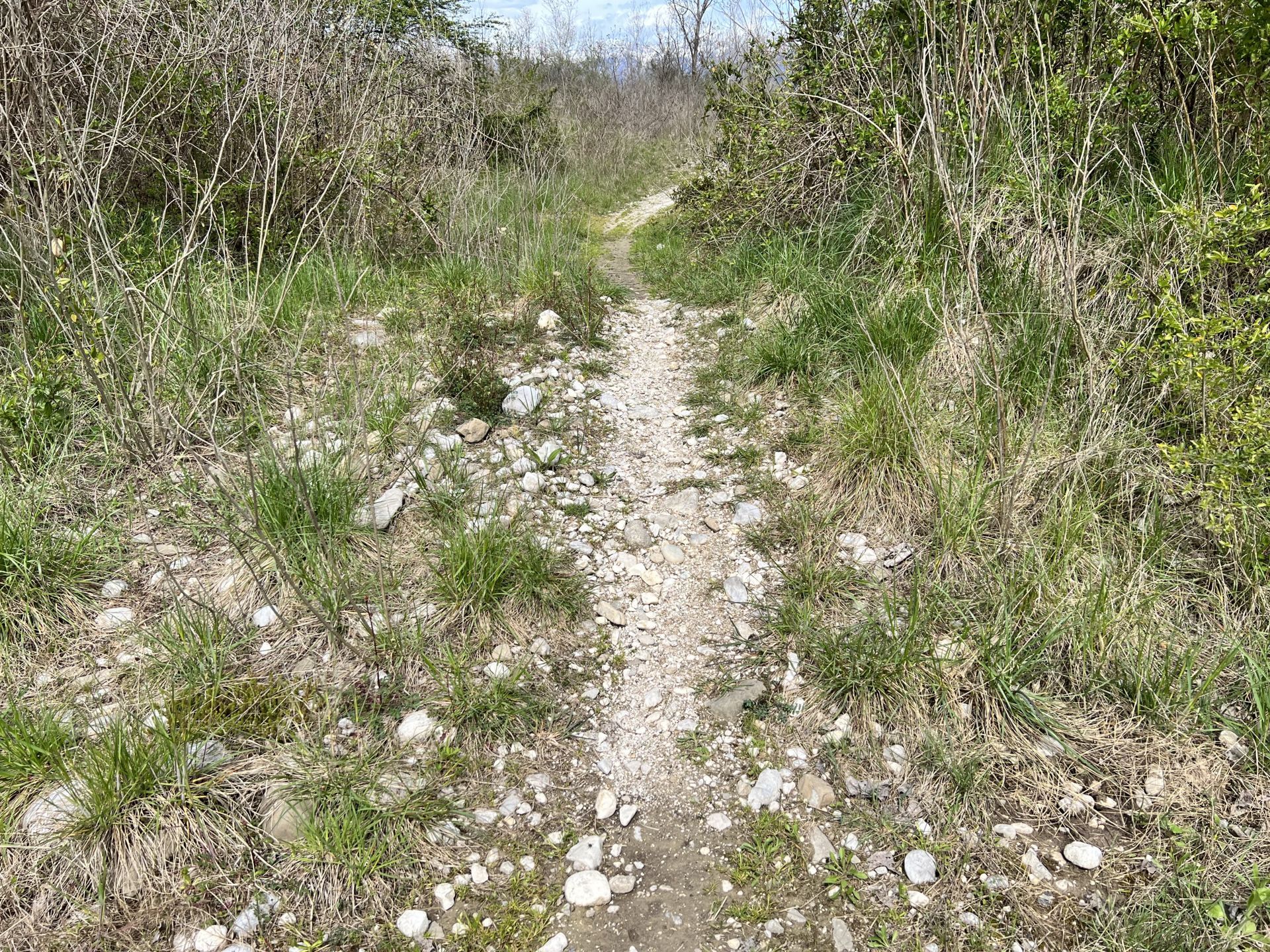
Photo 37 - Gravel path with embankments about 1 meter high
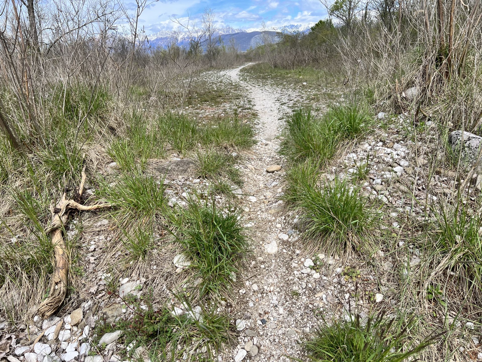
Photo 38 - Gravel path with embankments about 1 meter high
At km 3.500 the path widens to become a wide gravel track (Photo 39); here it is possible to rest on a bench made from a large tree trunk (Photo 40). Subsequently, the track narrows and the path reduces to about one meter in width (Photo 41 and Photo 42).
At km 4.200 from the start, it is necessary to overcome another small embankment (Photo 43); the continuation of the path has a dirt surface with fine but deep gravel (Photo 44).
At km 4.360 the dirt path with medium-sized stones narrows (Photo 45 and Photo 46). 50 meters further on, the ground becomes compact again.
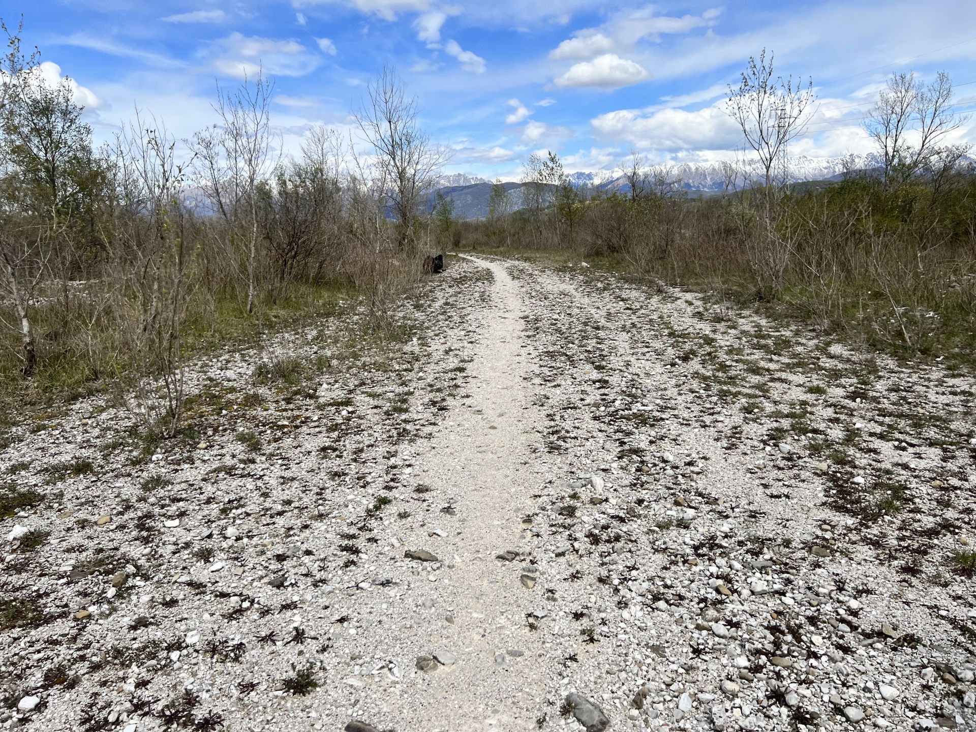
Photo 39 - Wide gravel path
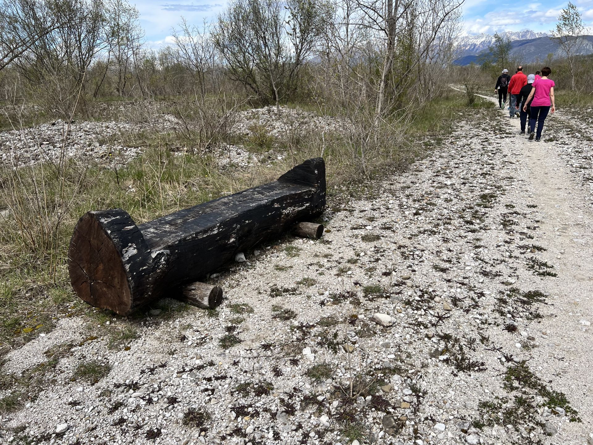
Photo 40 - Bench made from a large tree trunk
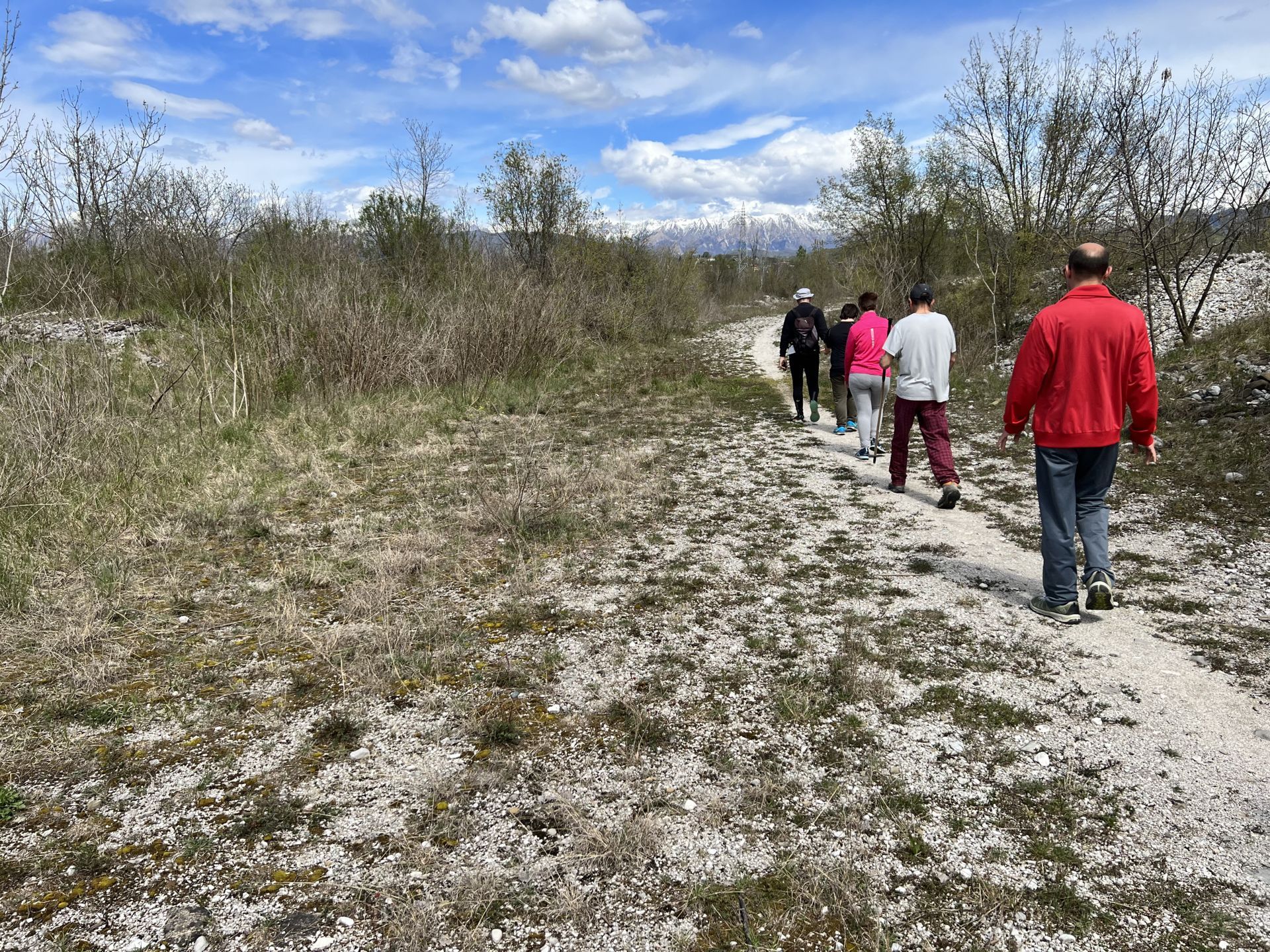
Photo 41 - Narrowing of the path (about 1 meter wide)
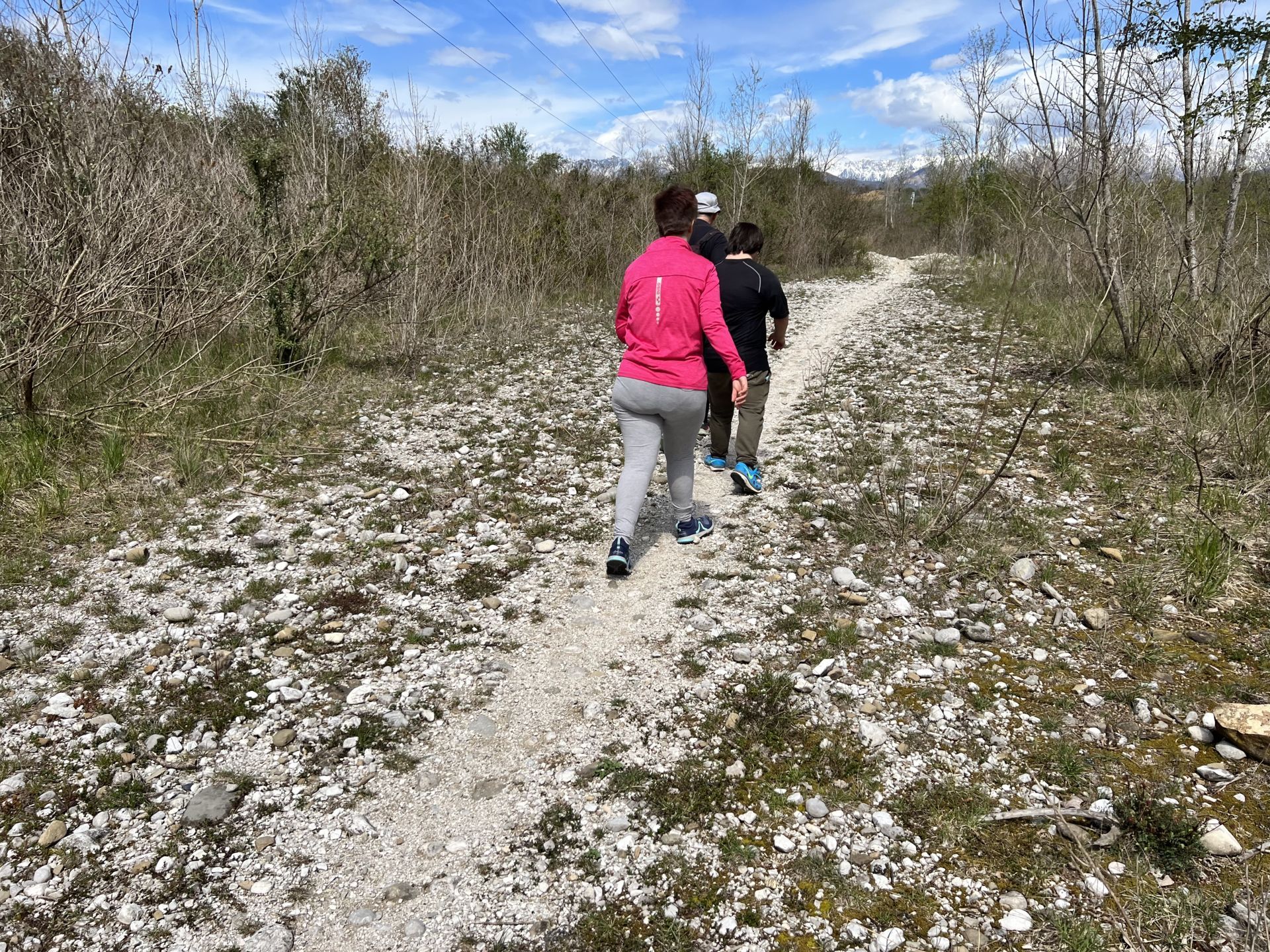
Photo 42 - Gravel path about 1 meter wide
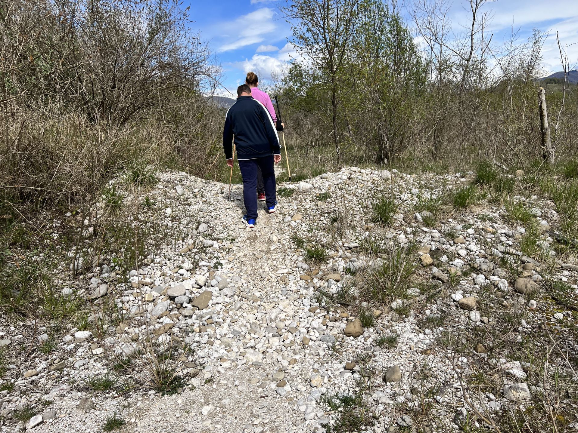
Photo 43 - Small embankment along the path
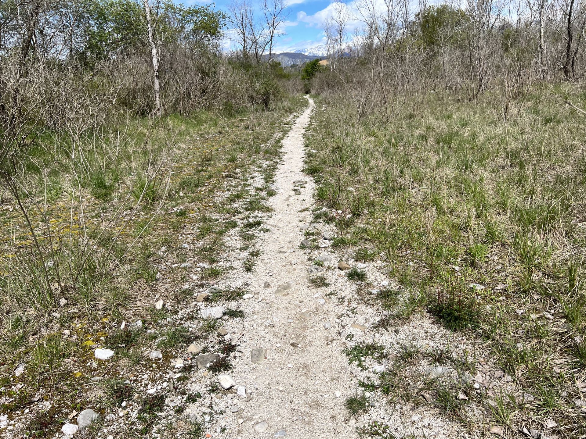
Photo 44 - Path with dirt surface
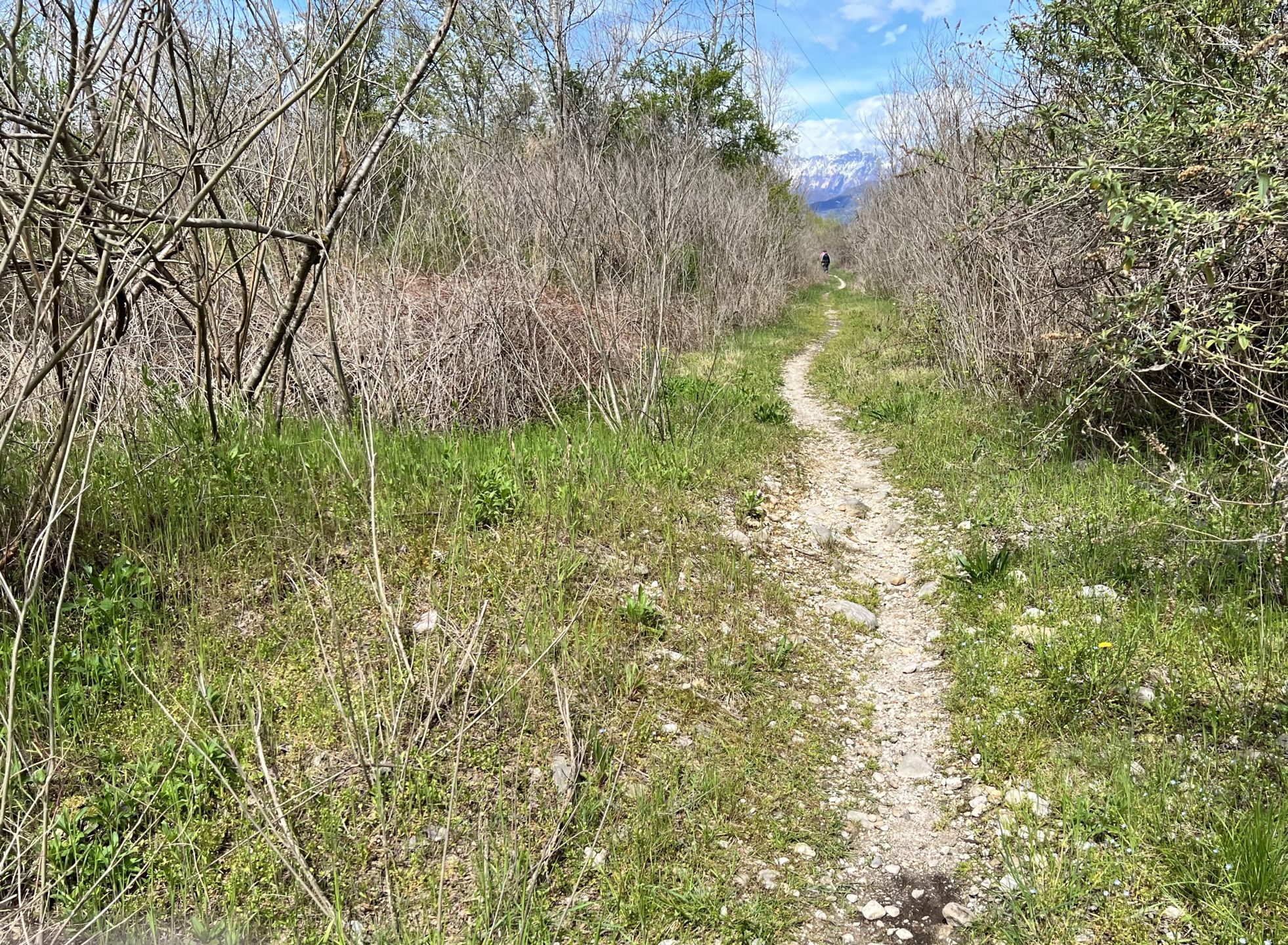
Photo 45 - Narrow path with medium-sized stones
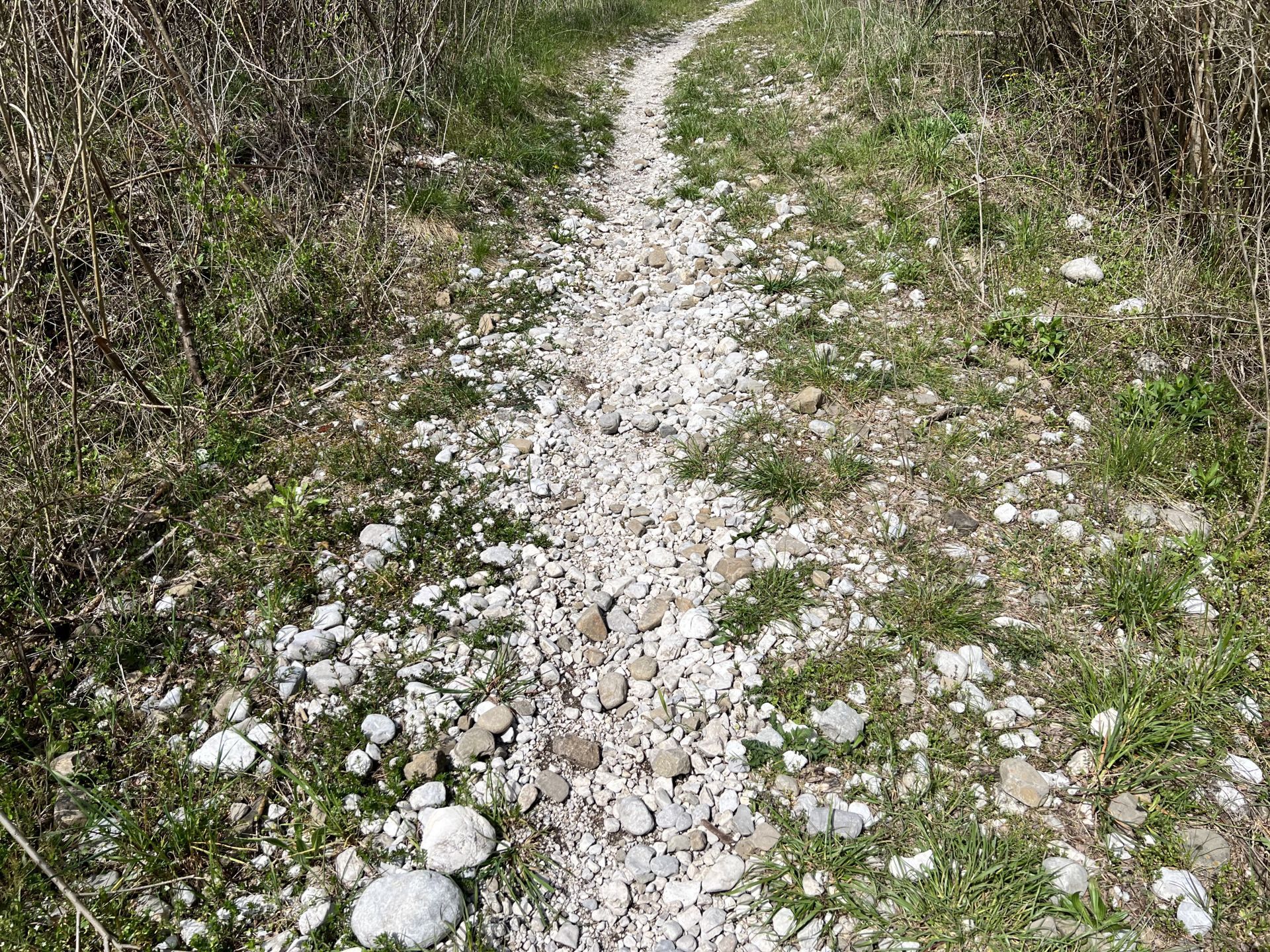
Photo 46 - Narrow path with medium-sized stones
At km 4.730 and at km 4.800 from the start, the path intersects another area with medium and large stones on the ground (Photo 47).
At km 4.950 there is a sign indicating the 10,000 steps route. The direction of the arrow is opposite to the direction of travel as, as already mentioned, the reconnaissance was done clockwise (Photo 48). You arrive near the sports field in the locality of Cortale (Savorgnano al Torre) (Photo 49).
At km 5.100 you enter the wide dirt road that allows you to close the loop (Photo 50); You retrace the \"bretella\" at the beginning of the route which, through an alternative section to the main one, leads to crossing the bank of the Torre stream. The descent from the bank has a steep slope of about 20 degrees (Photo 51).
The dirt section following the descent from the bank leads next to the sports field of Savorgnano al Torre (Photo 52 and Photo 53), where the route ends (Photo 54).
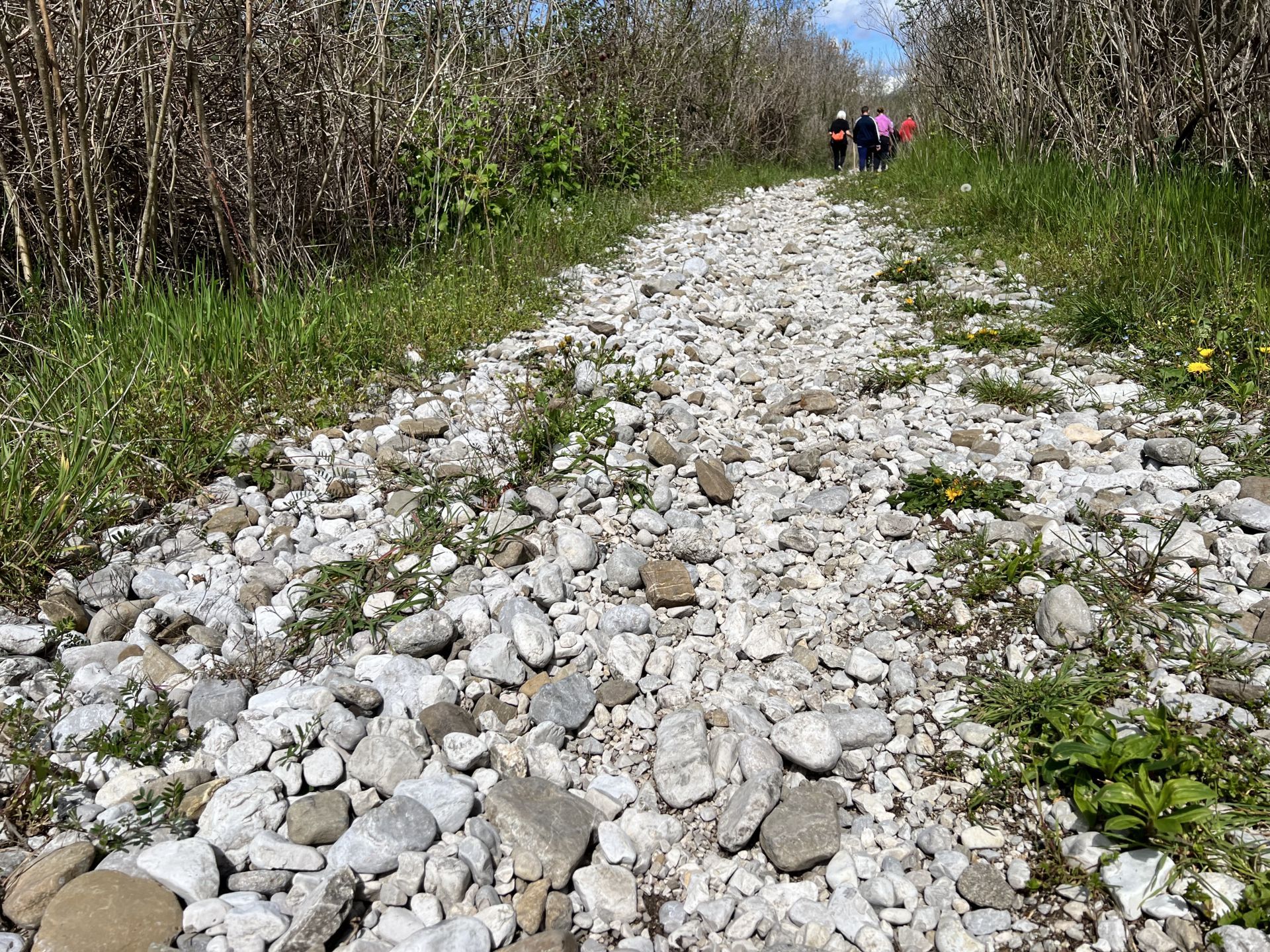
Photo 47 - Area of the path with large stones present
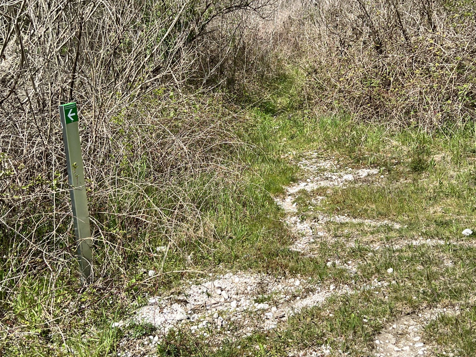
Photo 48 - Unpaved and grassy path
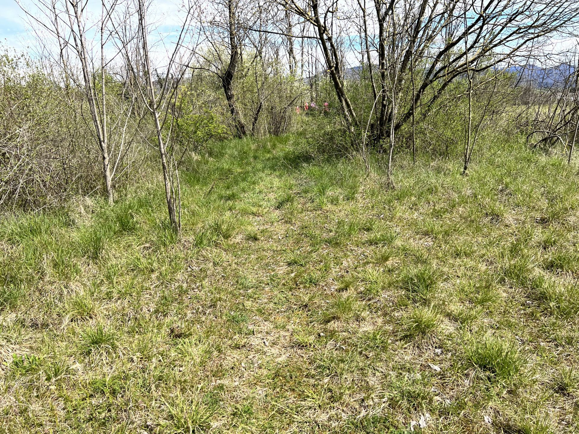
Photo 49 - Green area near the sports field in the locality of Cortale (Savorgnano al Torre)
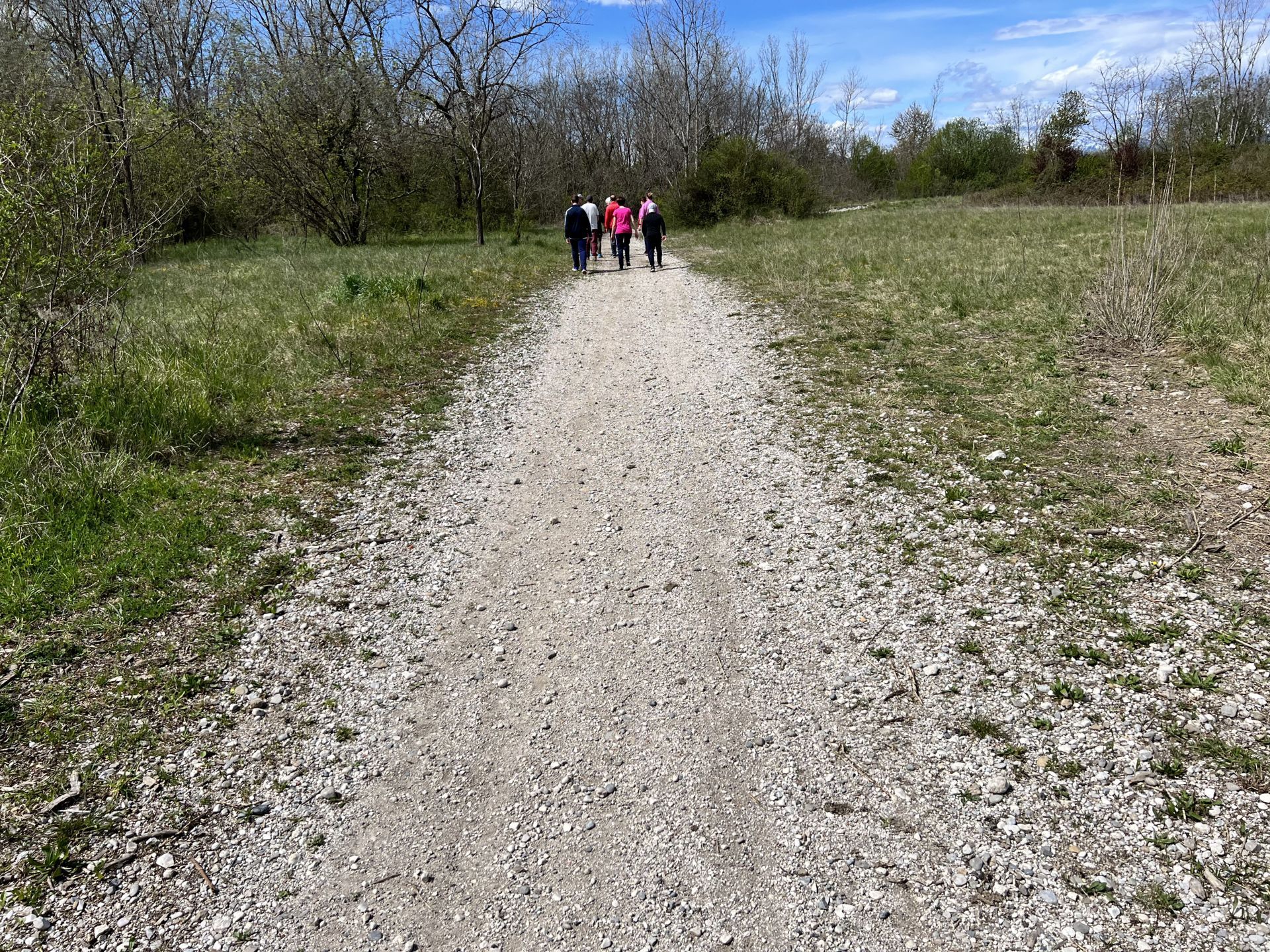
Photo 50 - Entrance to a wide unpaved road
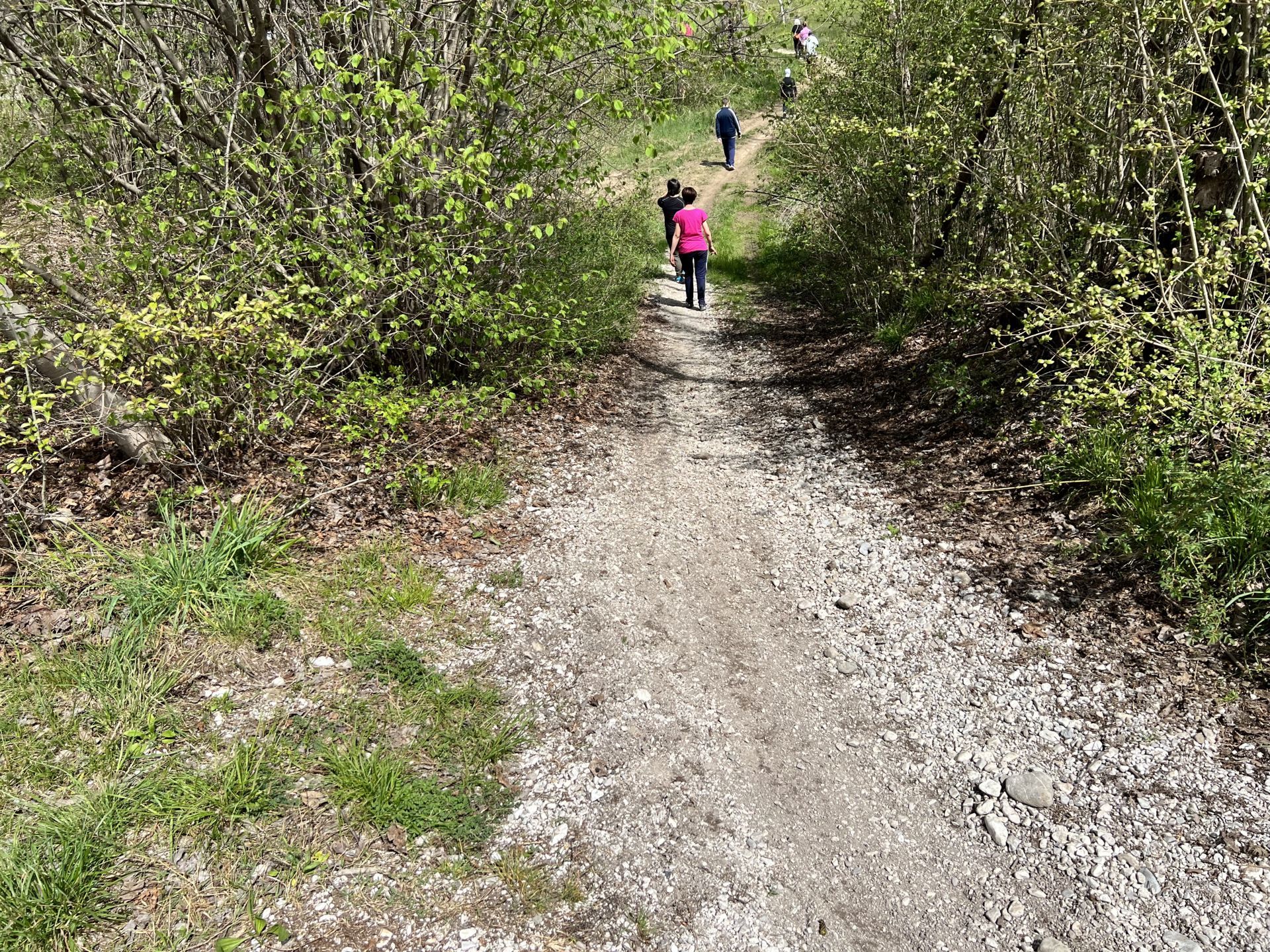
Photo 51 - Descent from the sloping bank about 20 degrees
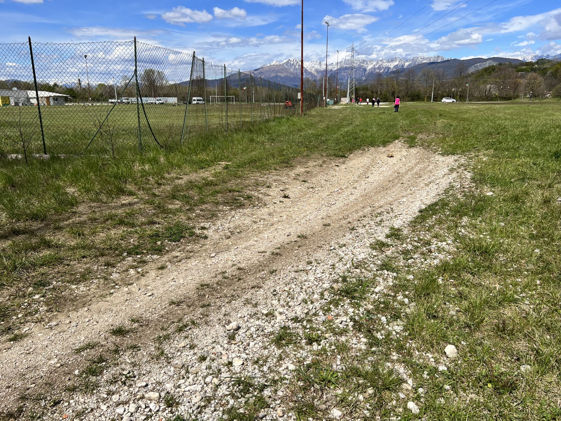
Photo 52 - Sports field of Savorgnano al Torre
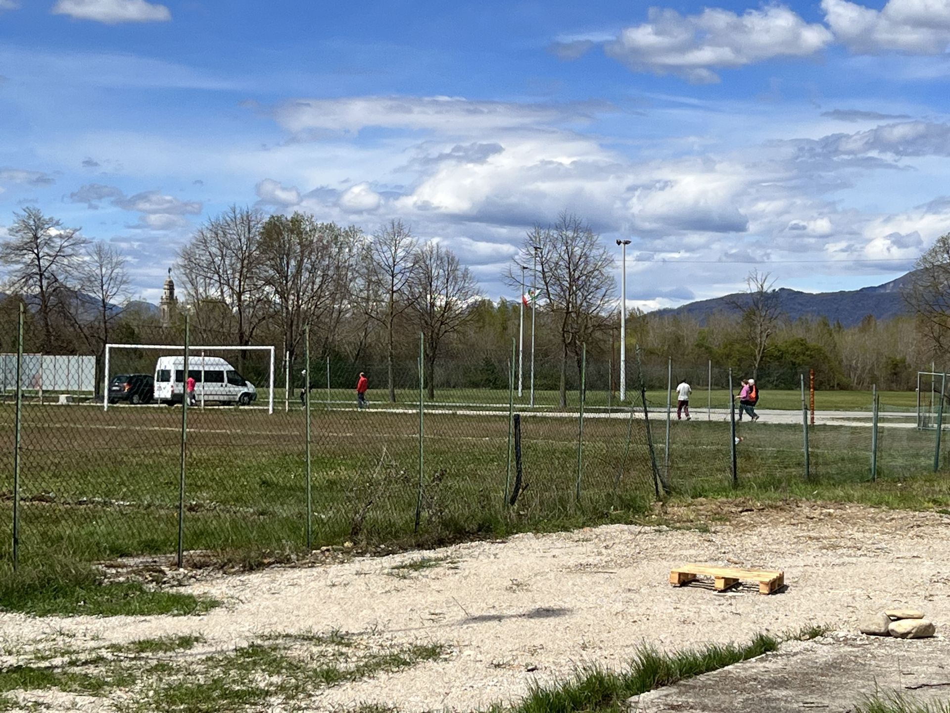
Photo 53 - Sports field of Savorgnano al Torre
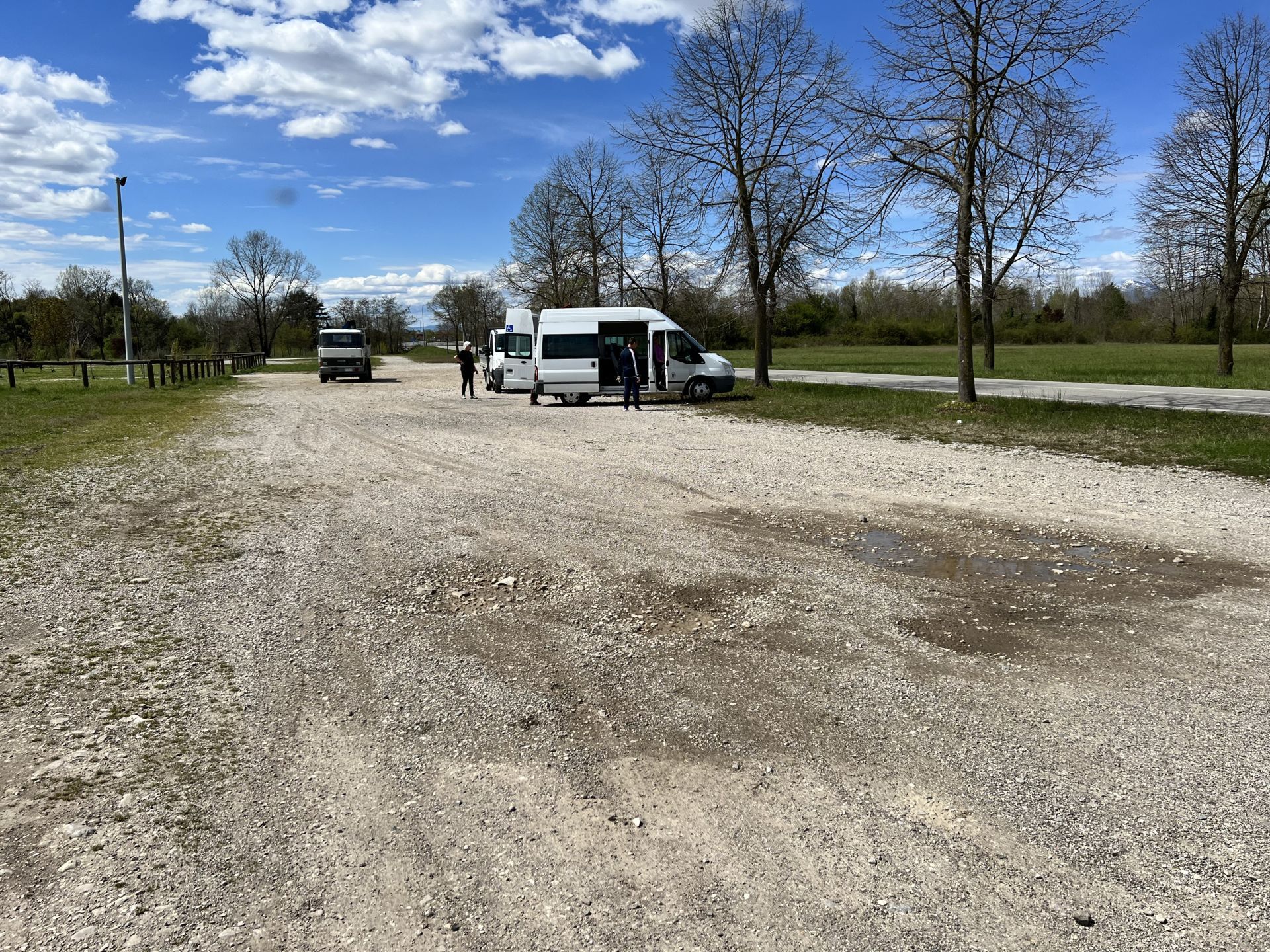
Photo 54 - Conclusion of the path